In the mountains – NZ North Island

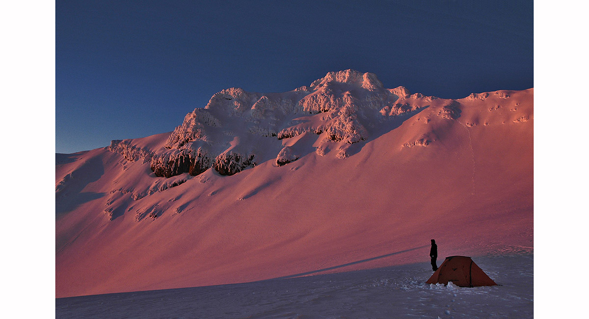
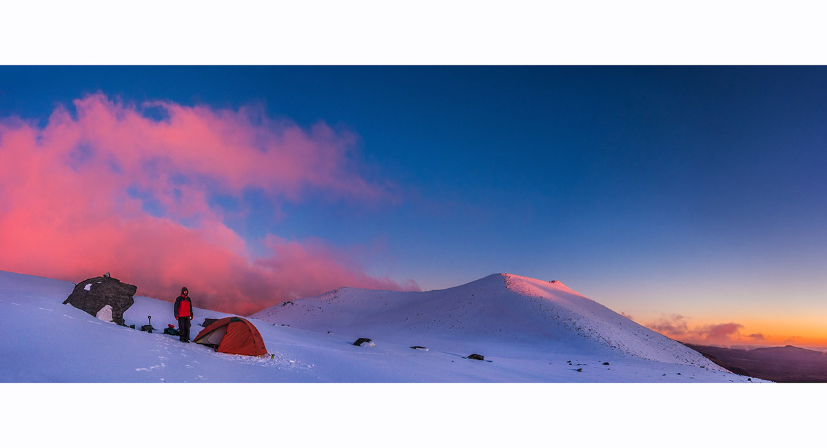
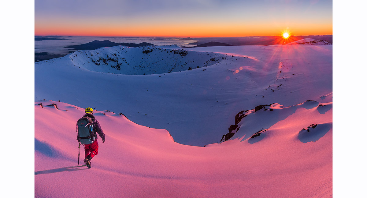
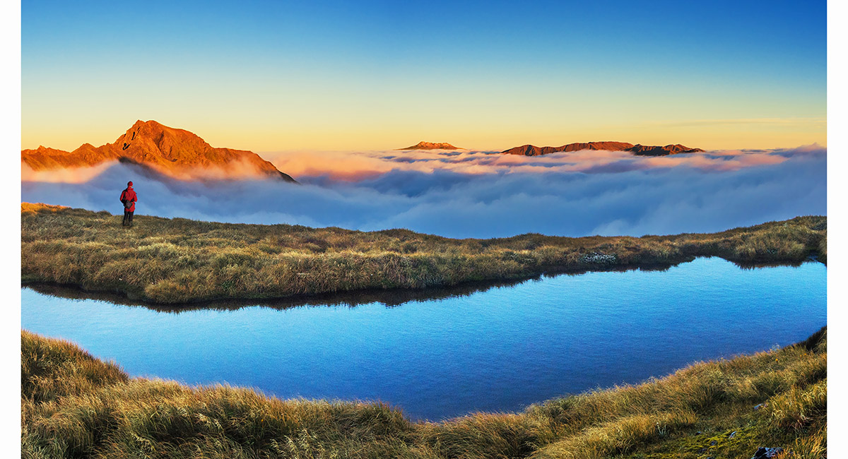
Mount Taranaki and the Pouakais, from below the summit of Mount Tongariro, at sunset


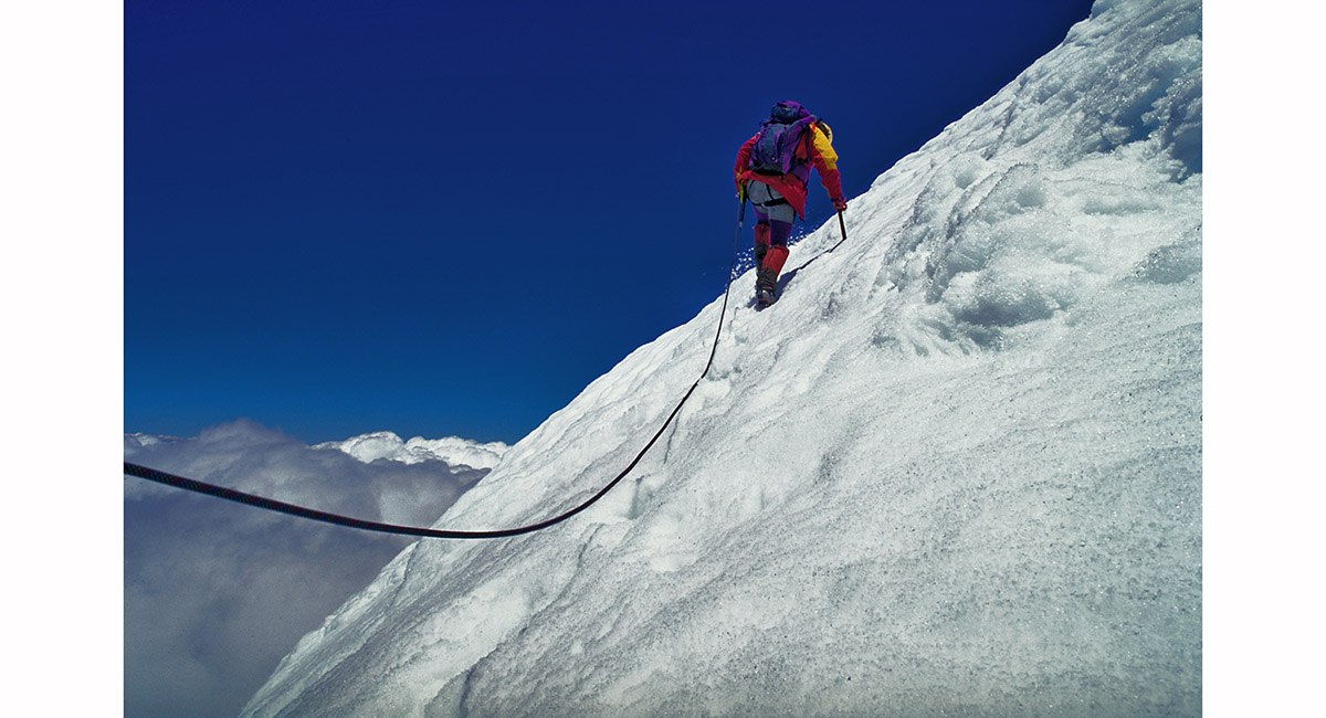
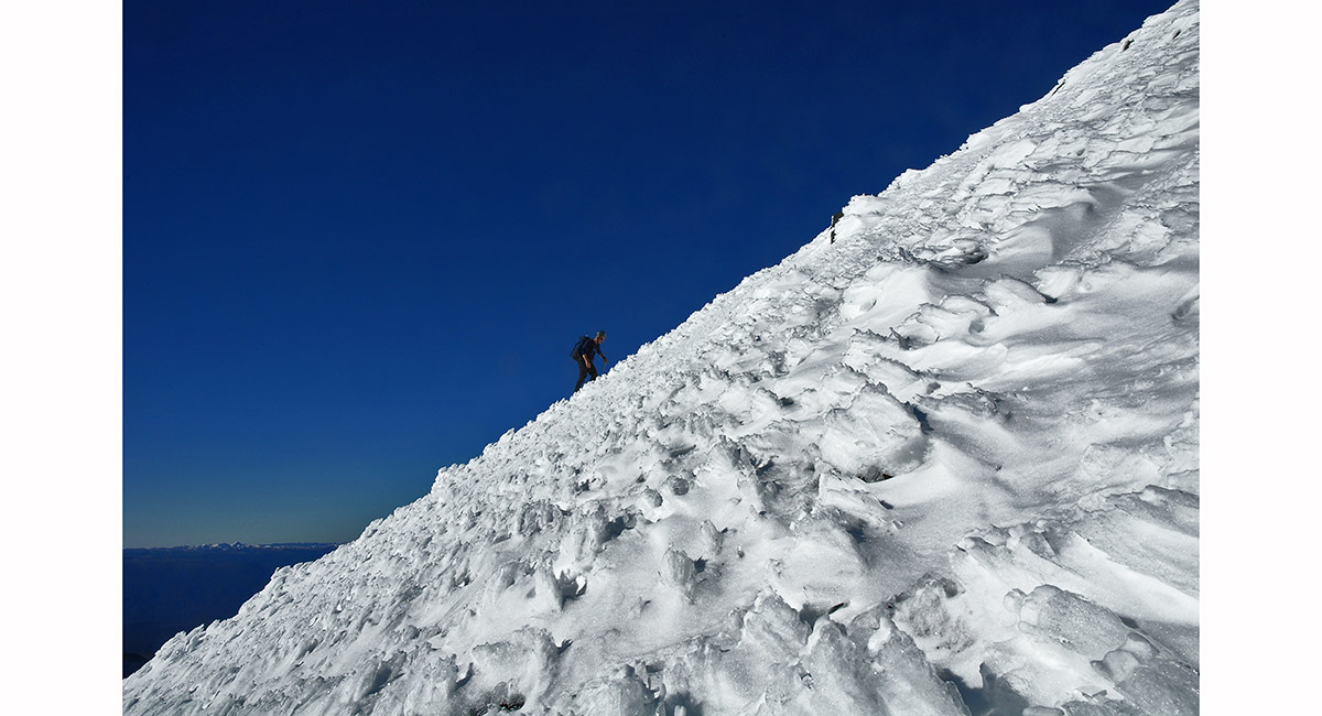
Ascending steep terrain at about 1,700m, Mt Taranaki

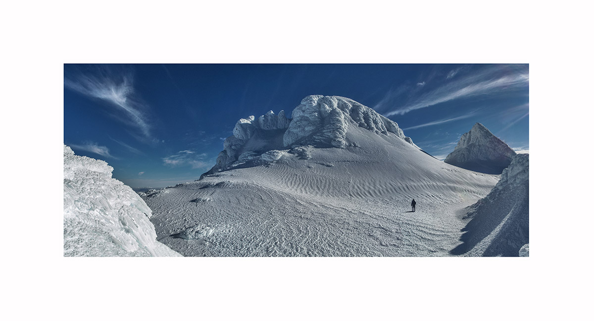
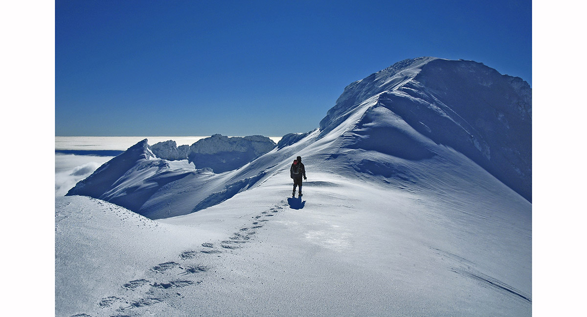
Breeching the crater wall at 2,400m from the south, with the true summit (2,518m) centre and the Sharks Tooth (2,510m) right, Mt Taranaki


The Sharks Tooth (2,510m, left) and true summit (2,518m, right), Mt Taranaki

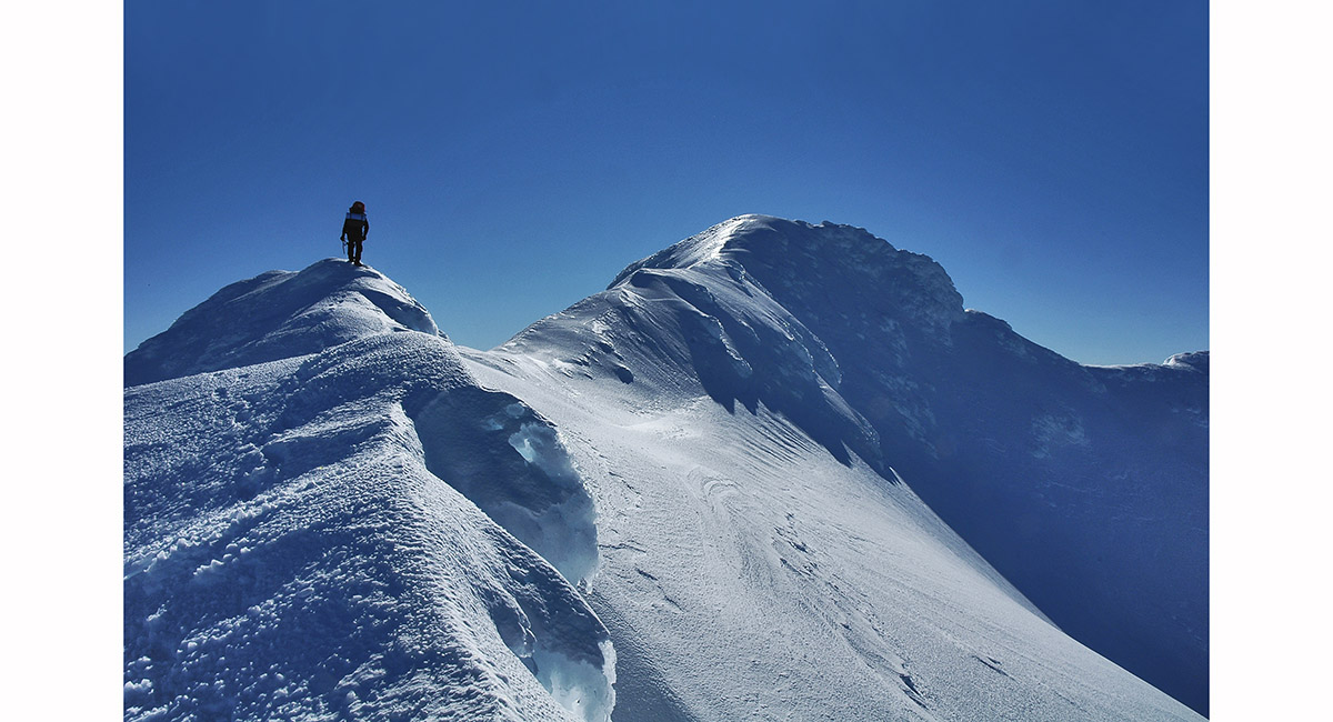
Climbing the north east side of the Sharks Tooth, Mt Taranaki


Summit view north and east, Mt Taranaki


A climber on the south west face of the Sharks Tooth, Mt Taranaki


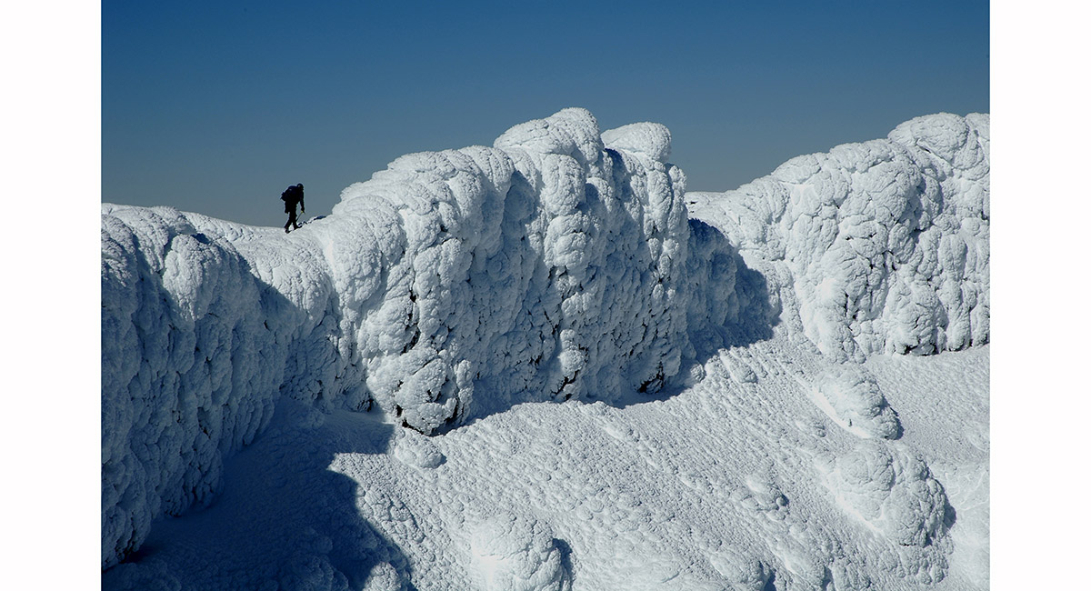
Lunch break on the crater rim, Mt Taranaki


Mt Ruapehu, viewed from the Kaimanawas to the east

Traversing above Mangaehuehu Glacier, with Girdlestone (2,658m) above right, Mt Ruapehu


Girdlestone summit view, north and east - from left, Tahurangi (2,797m), Tukino (2,720m), Te HeuHeu (2,732m) and Mitre/Ringatoto (2,591m), Mt Ruapehu

View from Mitre/Ringatoto Peak west to Girdlestone (2,658m - left), Tahurangi (2,797m - centre) and Paretetaitonga (2,751m - right), Mt Ruapehu


View from Mitre/Ringatoto Peak north west to Paretetaitonga (2,751m), Mt Ruapehu

Just below the summit of Tahurangi, Mt Ruapehu

At 2,750m, on the summit Ridge of Tahurangi, Mt Ruapehu


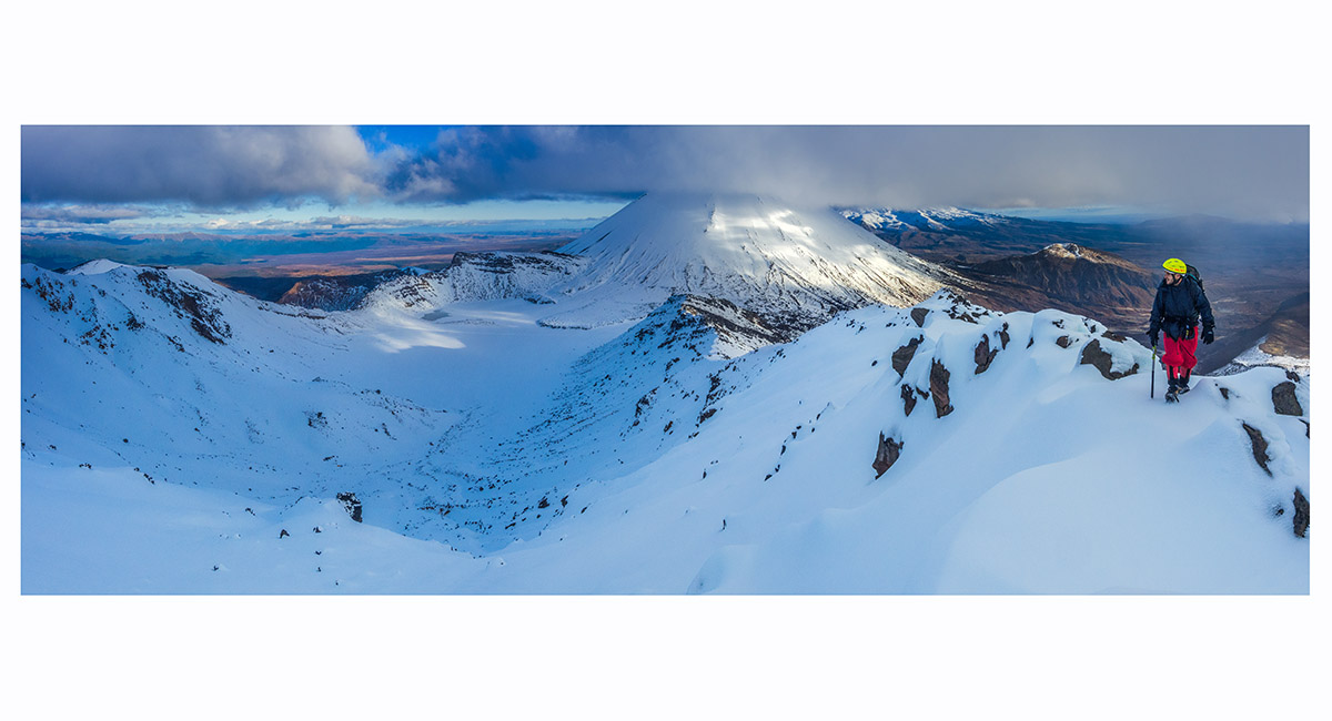
View from the crater rim, looking south to the north face of Tahurangi, Mt Ruapehu

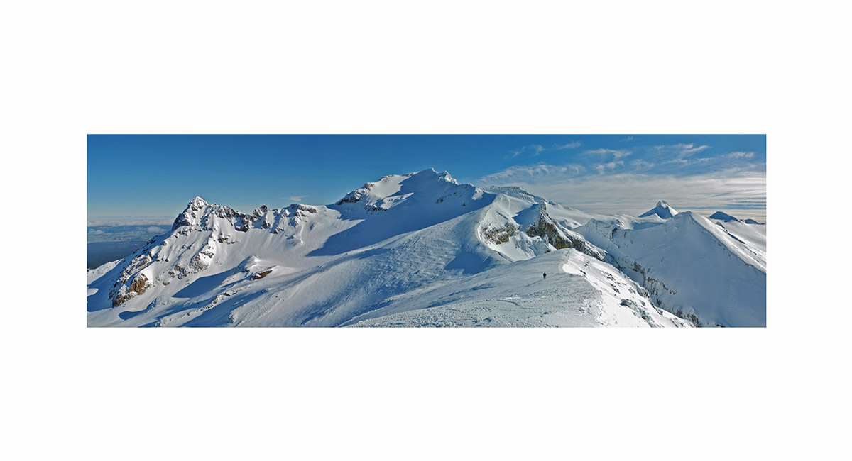
At the southern end of the Summit Plateau (2,600m). Dome Shelter (2,672m) is at left on the skyline. Tukino (2,720m) and Te HeuHeu (2,732m) are right of centre and Pyramid Peak (2,645m) is right, Mt Ruapehu

The north face of Tahurangi at dawn, Mt Ruapehu

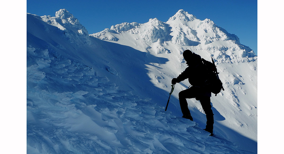
Climbing the south west face of Paretetaitonga, Mt Ruapehu


On top of Paretetaitonga (2,751m), looking south to Tahurangi (2,797m), Mt Ruapehu


Nearly at the notch, which gives access to the snow slopes on the north side of Tukino and Te HeuHeu, Mt Ruapehu


Approaching the crux above this ice wall, climbing Te HeuHeu, Mt Ruapehu


On the board walks at about 1,200m, Tongariro Crossing

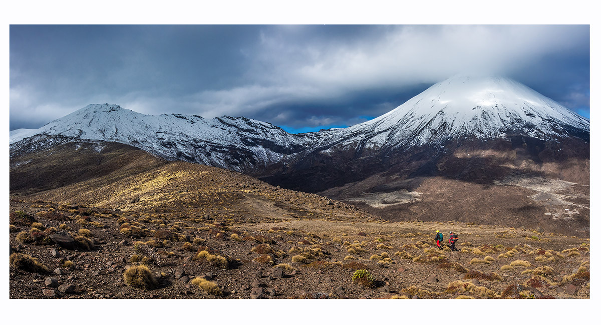
At about 1,400m, looking to Tongariro (left) and Ngauruhoe

On Tongariro's summit (1,967m), with Ngauruhoe (2,287m) behind

Sunset at camp (1,820m) between Tongariro (behind) and the North Crater

Dawn on North Crater's southern rim (1,909m), looking north, Tongariro National Park


Heading around the eastern side of Blue Lake with, from left, Ruapehu, Red Crater, Ngauruhoe and Tongariro ahead

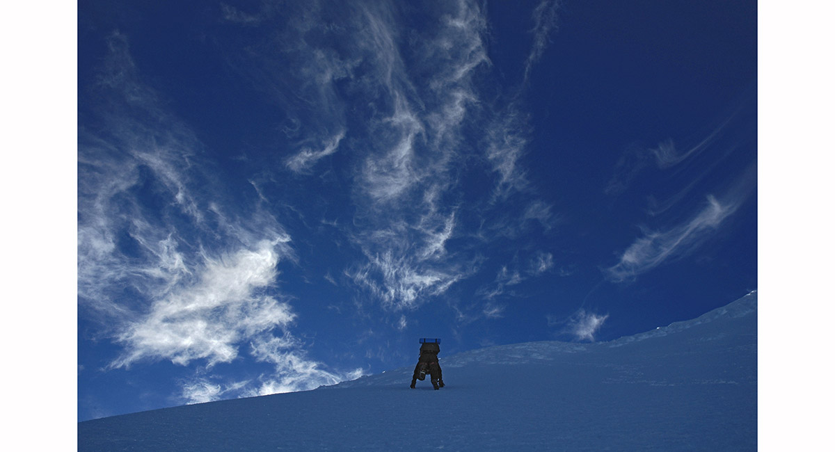
The gradient of Mount Ngauruhoe, on the north side

Nearing the highest point of the crater rim (2,287m), Mt Ngauruhoe


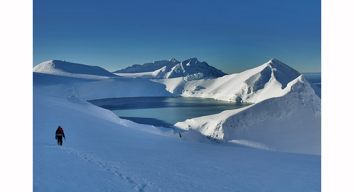
View from the southern rim of Mt Ngauruhoe, with the Tama Lakes below and Mount Ruapehu


The Emerald Lakes, Tongariro Crossing


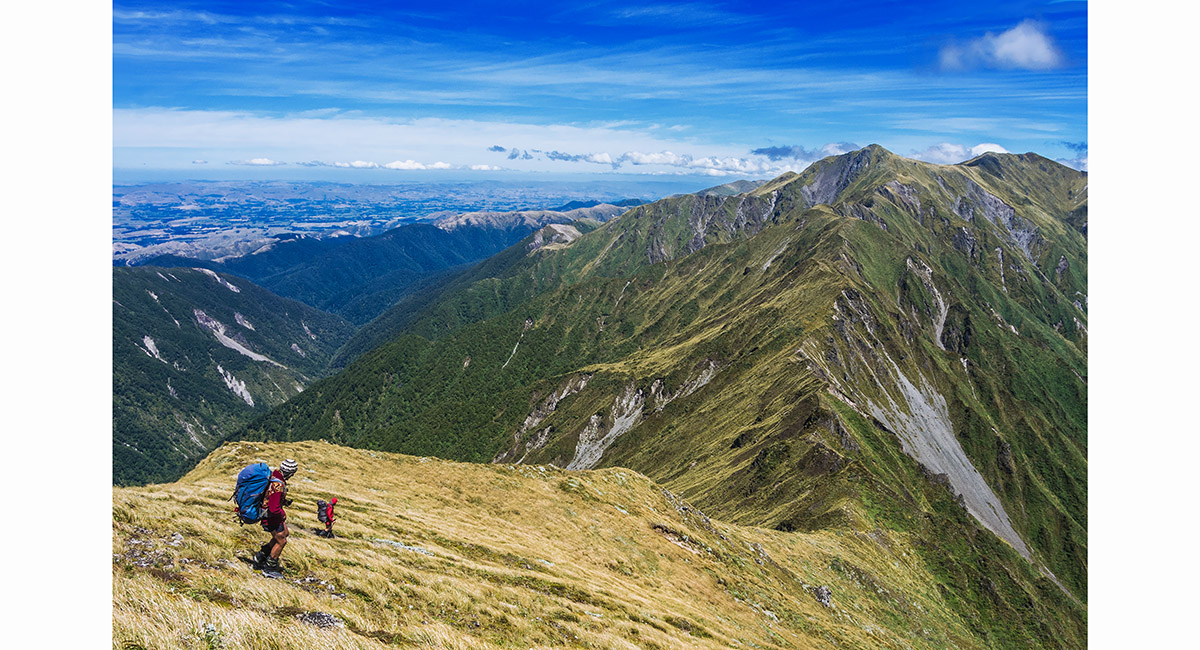
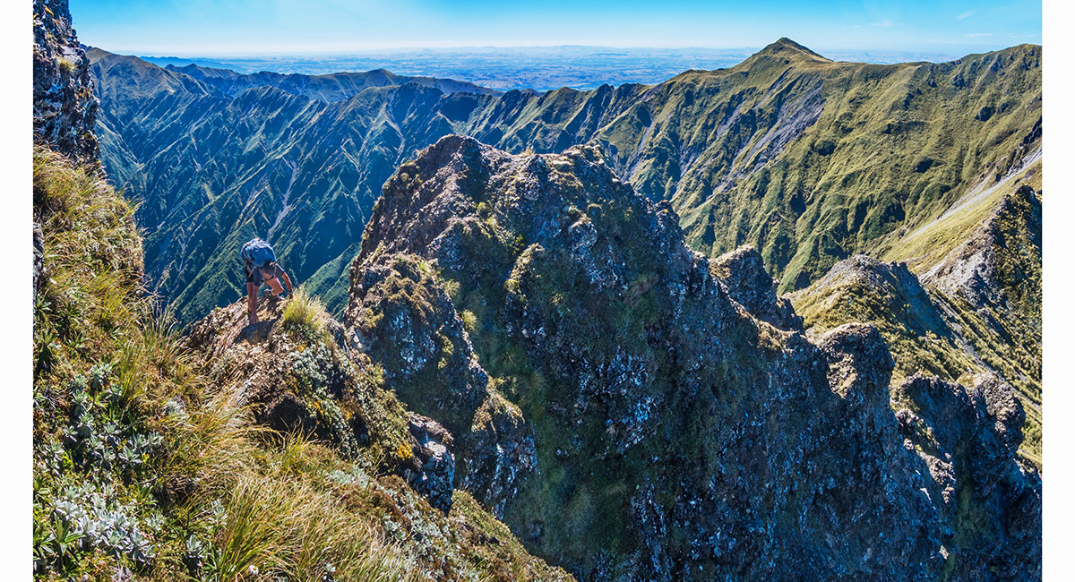
A view on the ridge about a third of the way between Iron Peg and Ohuinga, Ruahines

Looking south from Ohuinga, along Sawtooth Ridge to Tiraha Peak (1,668m), Ruahines

Dawn view on the saddle, west to Te Hekenga (1,695m - left), Mount Ruapehu (2,797m - centre) and Mangaweka (1,731m - right), Ruahines


Mount Ruapehu hovers on a sea of cloud, viewed from Tiraha, Ruahines


A view from the saddle beneath Tiraha, looking west to Te Hekenga (left), Mount Ruapehu and Mangaweka (centre skyline), Ruahines

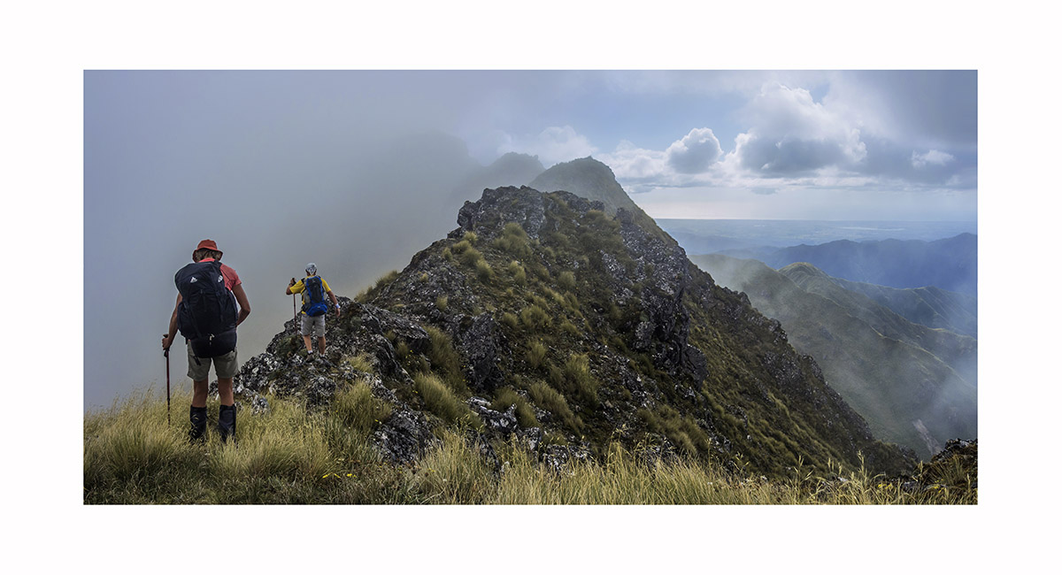
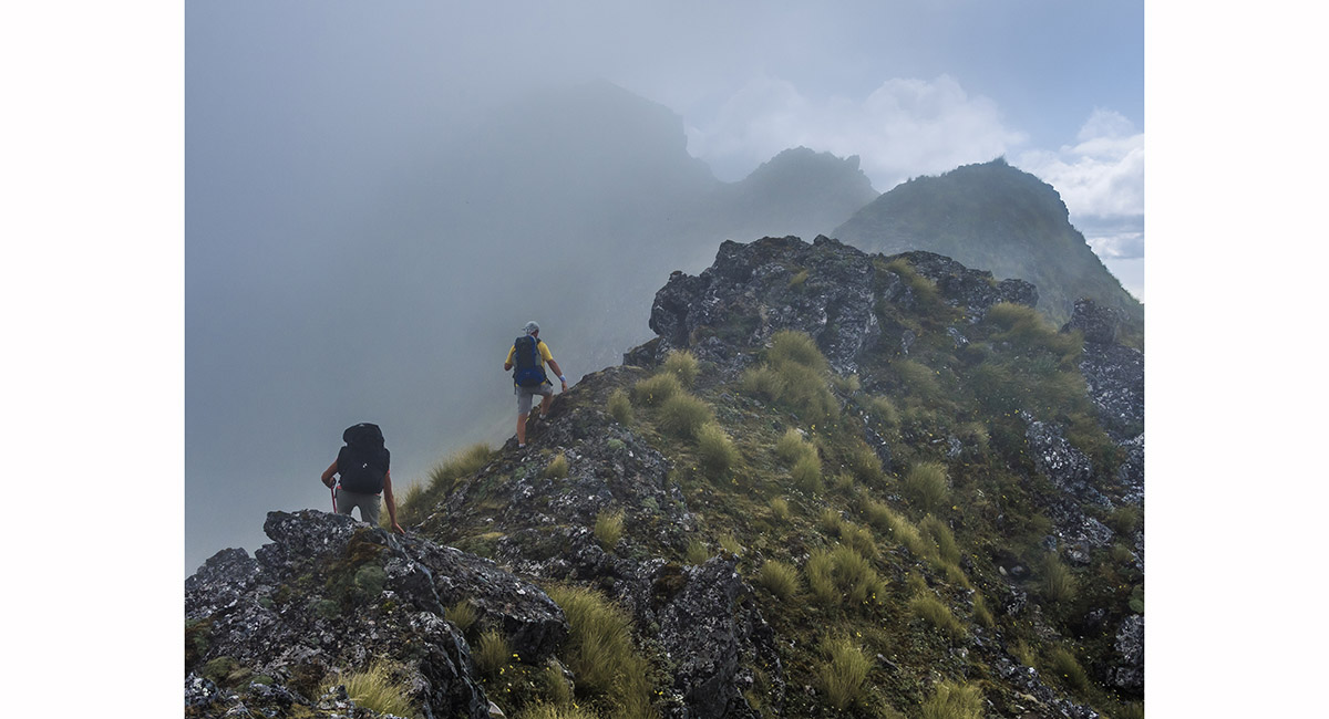
Looking back from beneath the summit Te Kehenga to the cheval. Tiraha is the cone on the right skyline, Ruahines


Heading northwest and down towards Pourangaki (1,539m), enjoying fine views of Ruapehu and Ngauruhoe, Ruahines


En route down to Kelly Knight Hut, Ruahines


Crossing the Pourangaki River, just beyond Kelly Knight Hut, Ruahines


Above the true right of the Pourangaki River, looking across to Kelly Knight Hut, Ruahines


Departing West Peak (1,335m), with Walker (1,392m) ahead, Tararuas

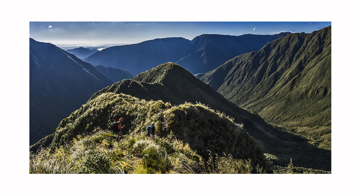
On the narrow ridge leading to Pukemoremore (1,474m), Tararuas

On the narrow ridge leading to Pukemoremore (1,474m), Tararuas

On the ridge east of Dundas Hut, en route to Cattle Ridge, Tararuas


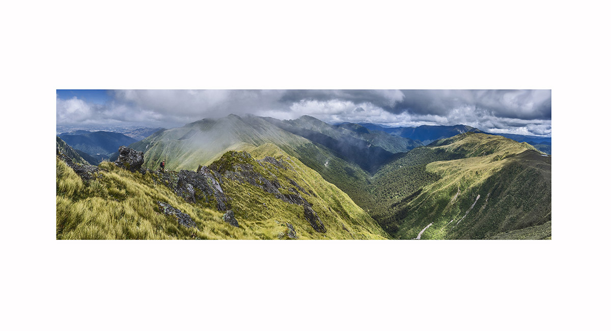
Looking south from beneath the summit of Mitre (1,571m) to Peggy's Peak (1,545m), Tararuas

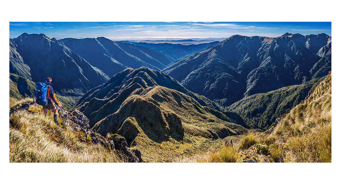
The rocky ridge between Girdlestone and Adkin (1,450m - centre). The Three Kings, Broken Axe Pinnacles and McGregor are above and behind Adkin, Tararuas

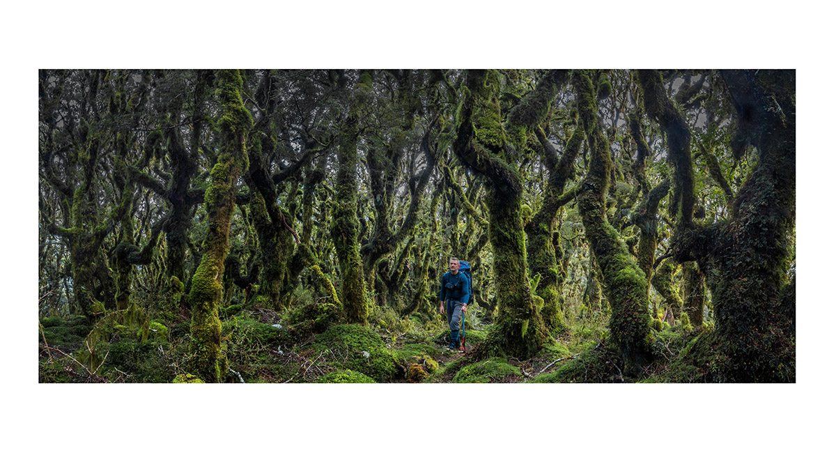
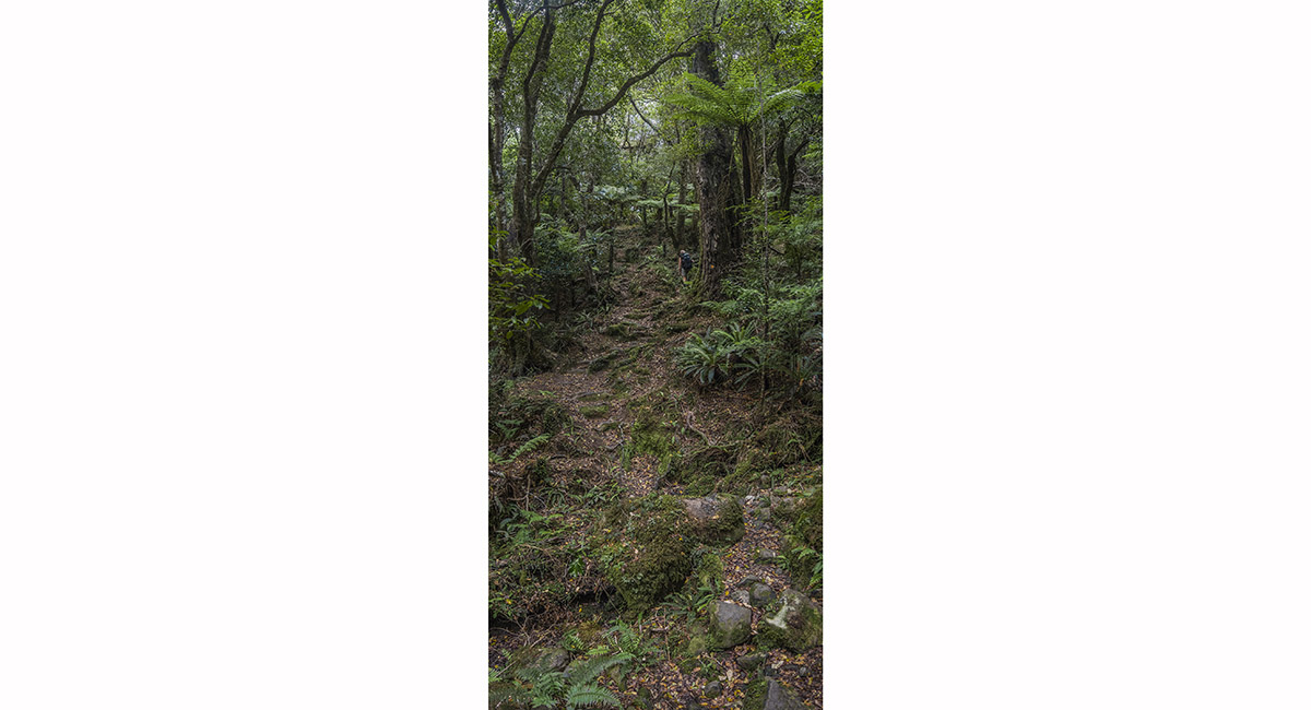
Goblin forest at about 900m between Blue Ridge Hut and Cow Creek, Tararuas


Looking north west along the ridge to Bannister (low peak centre and summit right), Tararuas


Arete (1,505m) summit view south west to Lancaster (1,504m - centre) and the main Tararua Range


The tarn (1,370m) just above Arete Bivy, with Bannister and the Twins left, Blue Range centre and Table Ridge right, Tararuas

View east down the steep, rugged Pinnacle Ridge, with the Blue Range behind. Bannister is far left, Tararuas

On the up and down, rooty trail before Mitre Flats Hut (350m), Tararuas

View on the Waingawa River descent from Mitre Flats Hut, Tararuas


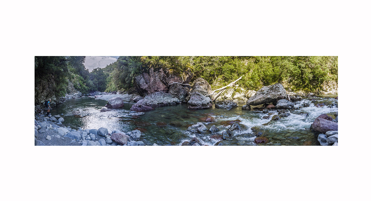
One of several river crossings on the stream bed route along Orongorongo River

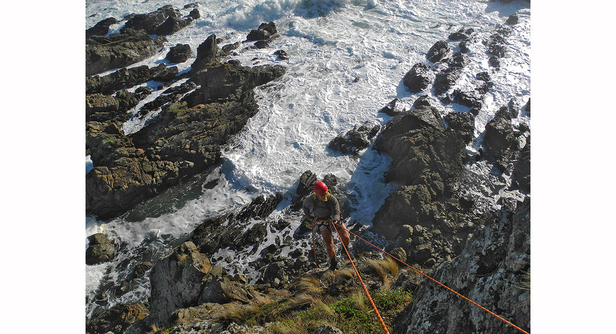
Playing on choss, at the Nose area, Titahi Bay, Wellington > In the mountains NZ South Island > In the mountains Roof of the World

To order a print or web resolution file of any image you see in this slide show, just right click the image, click “Copy Image URL” and paste in to the “Your message” box of our Contact Us form. Please also note, for each image, if you want a print or web resolution file. We will get back to you as soon as possible to confirm price and payment details.
Open Contact Us in a new window to paste Image URL(s) easily