Khumbu – Thame

Thame and, from left, Kangtega, Tamserku and Kusum Kanguru, viewed from the ridge leading to Thame Gompa

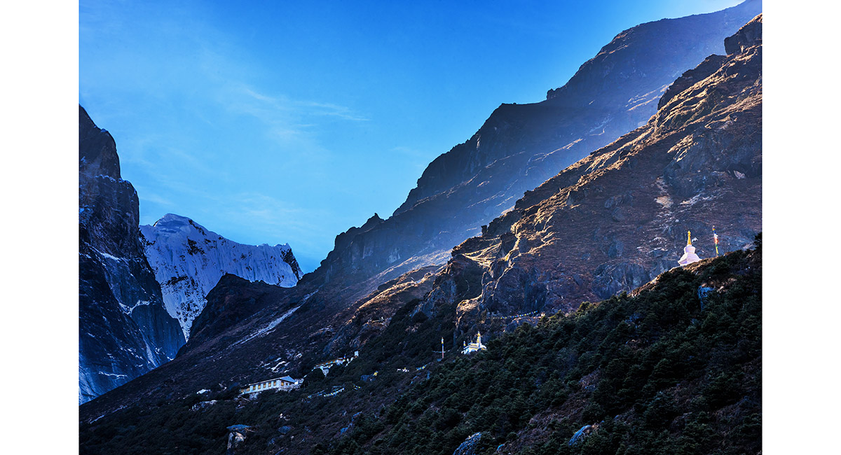
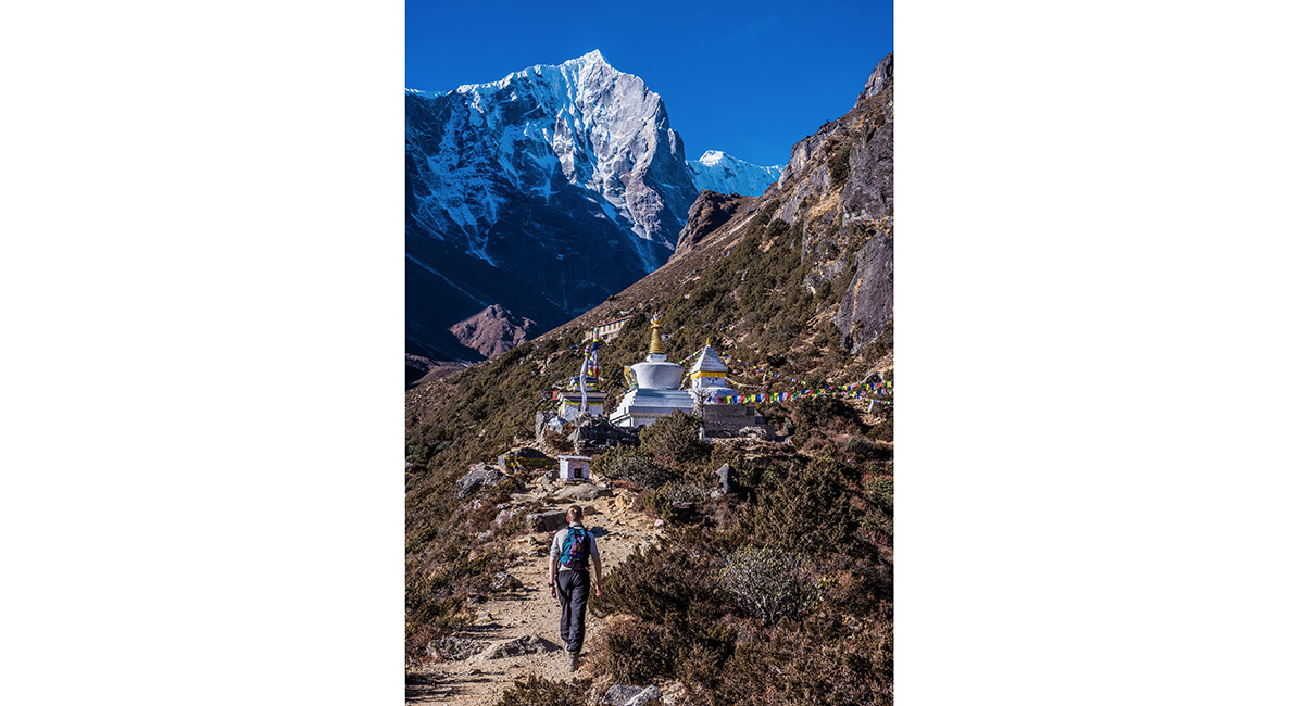
The approach to Thame Gompa

From left, Kangtega (6,779m) and Tamserku (6,608m), viewed from Thame (3,800m). The sunlit ridge in the foreground stretches between the Hillary memorial and Khunde Peak

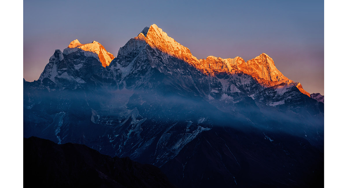
From left, Kangtega (6,779m), Tamserku (6,608m) and Kusum Kanguru (6,369m), viewed from Thame at sunset

From left, Kangtega (6,779m), Tamserku (6,608m) and Kusum Kanguru (6,369m), viewed from Thame at sunset

Thame Gompa is dwarfed by Tengkangpoche (6,490m - left) and Panayo Tippa (6,695m)

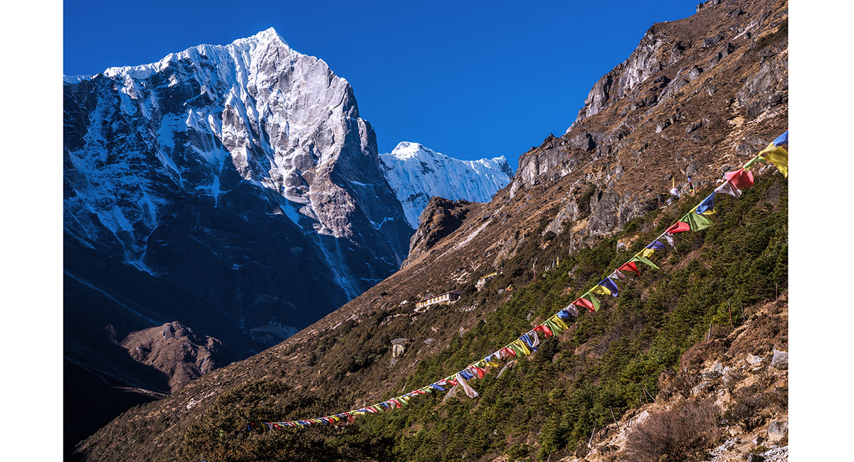
Tengkangpoche (6,490m) towers above on the approach to Thame Gompa

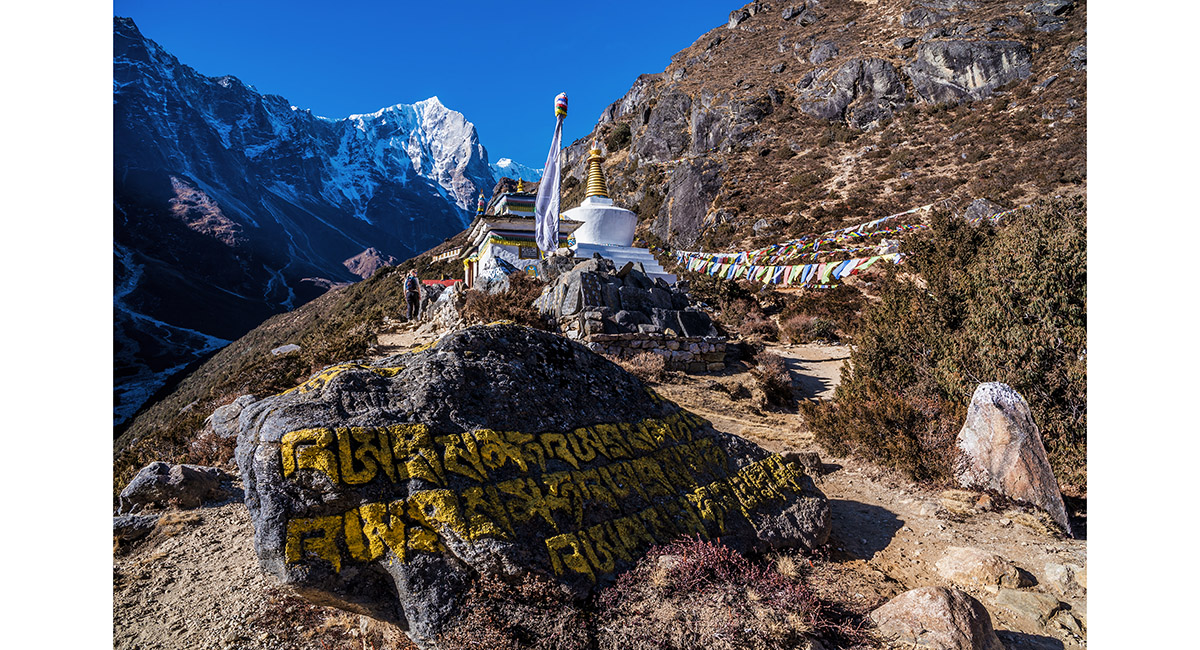
On the approach to Thame Gompa


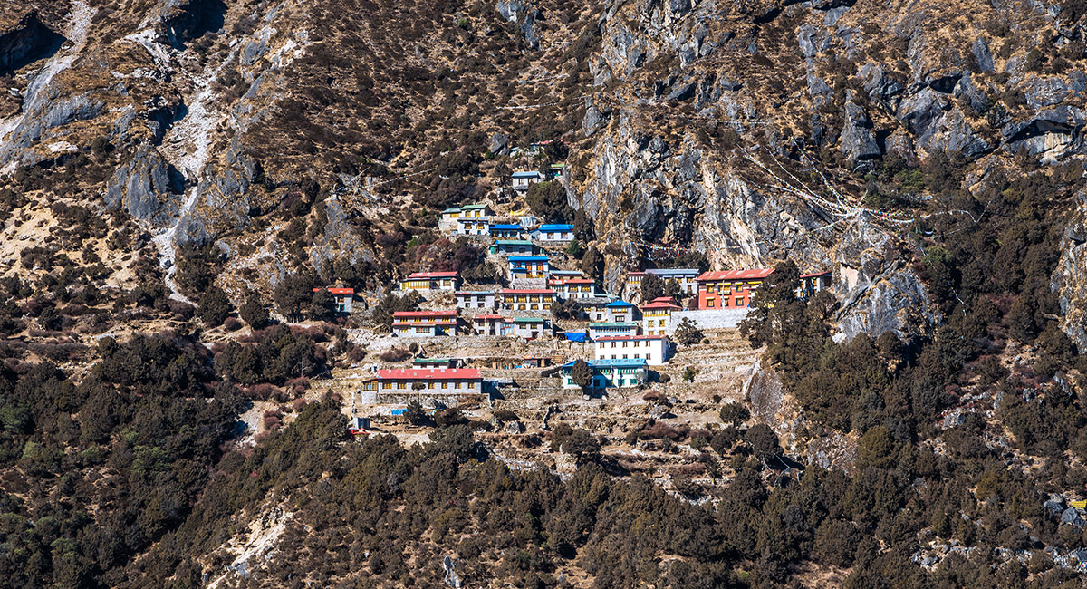
Thame Gompa (3,950m)

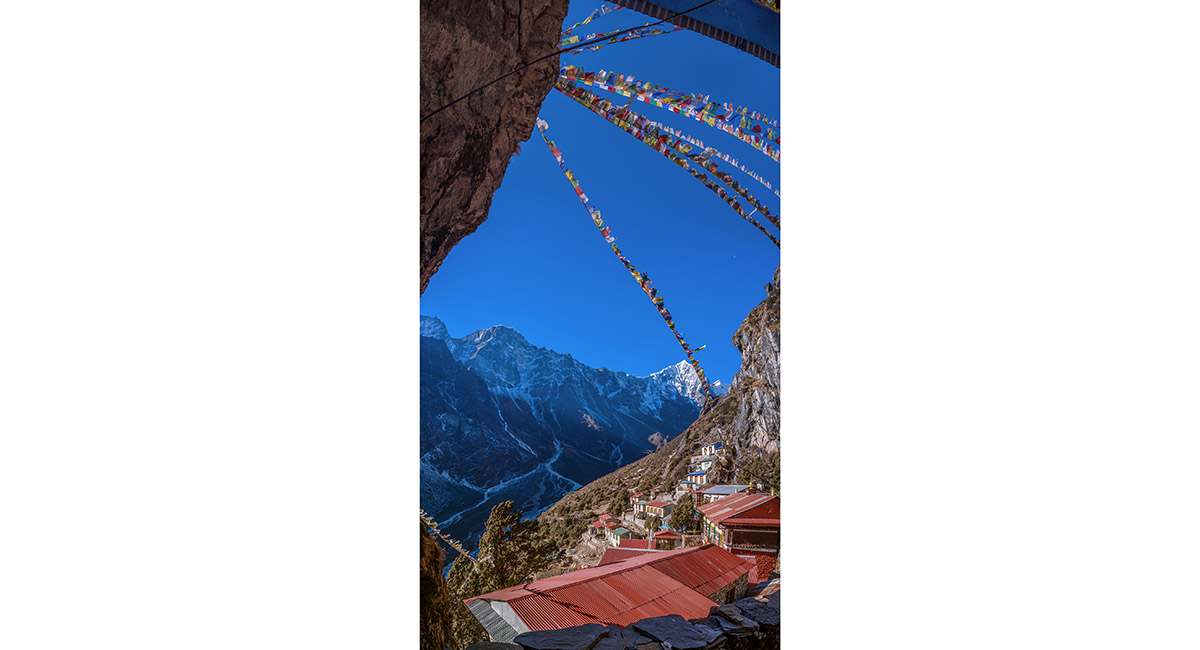
A view from above Thame Gompa

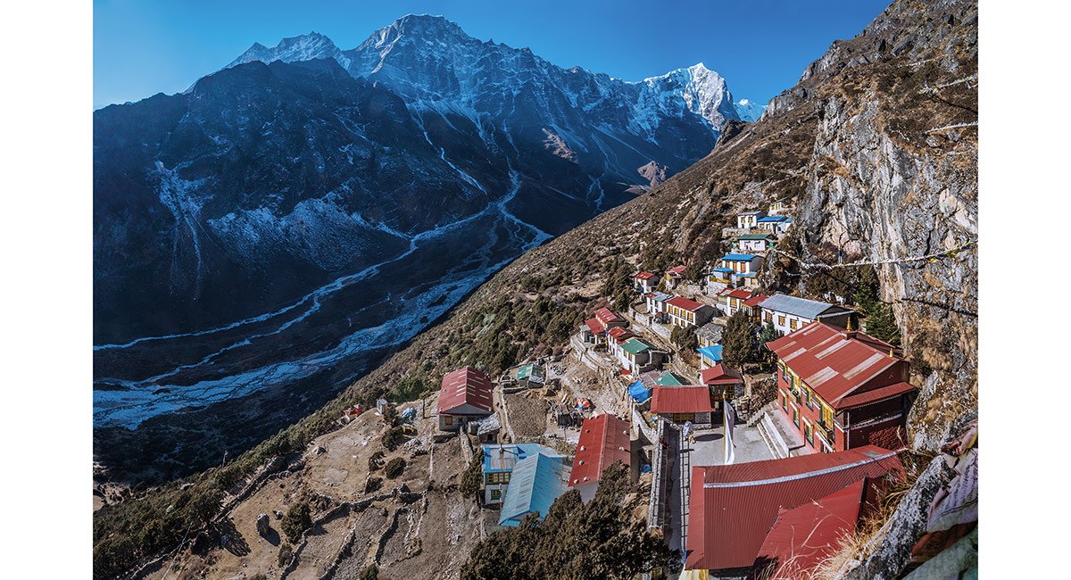
A view from above Thame Gompa with, from left, Kwangde (6,187m) and Tengkangpoche (6,490m)


A fresco in the entrance to Thame Gompa

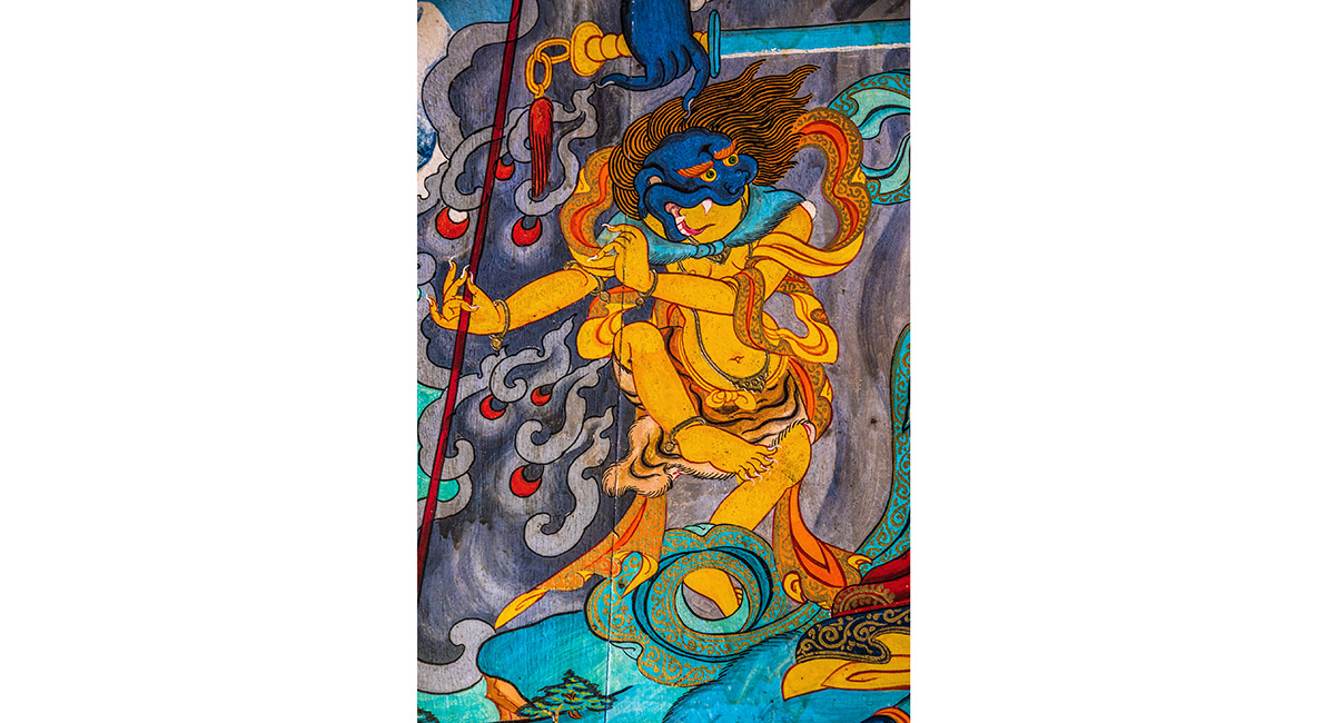
Part of a fresco in the entrance to Thame Gompa

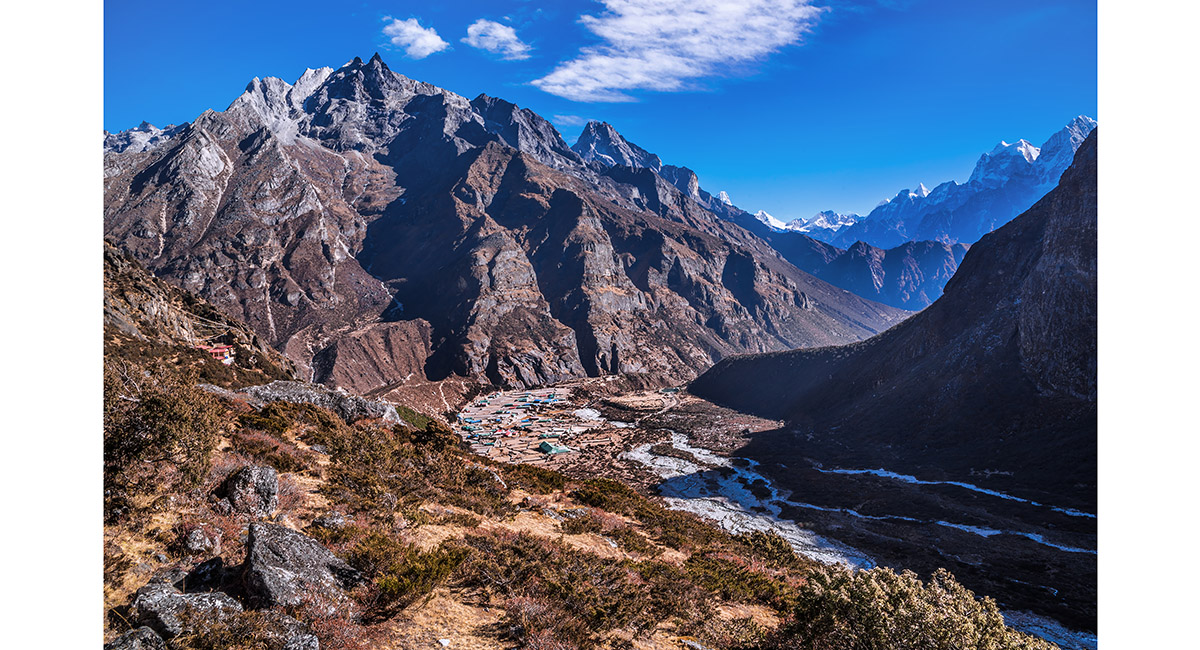
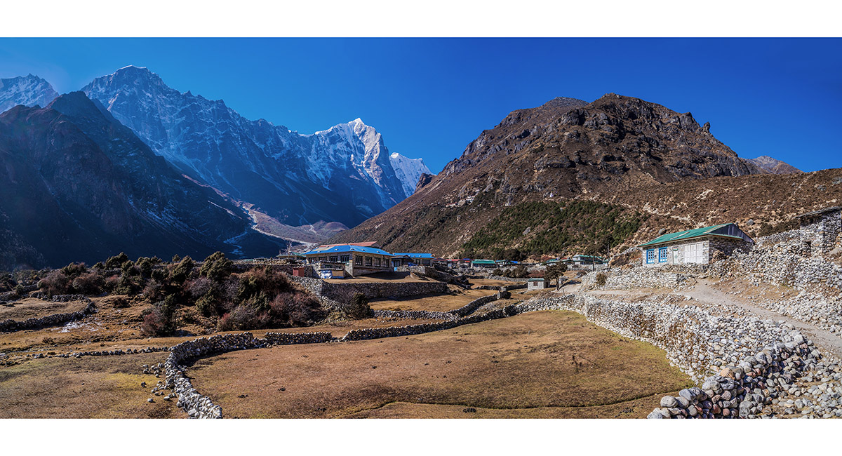
The view back to Thame Gompa (left) and Thame, with the Bhote valley extending down to the right in the direction of Namche Bazaar


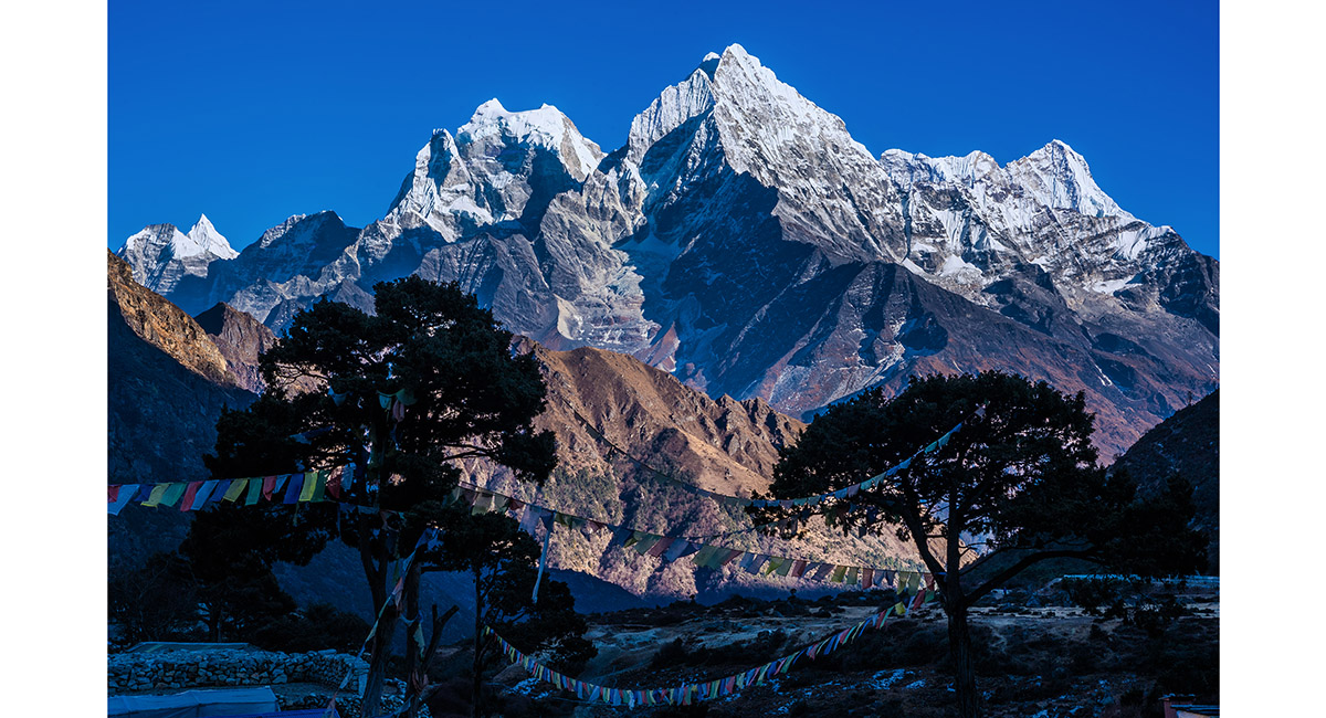
From left, Kangtega (6,779m), Tamserku (6,608m) and Kusum Kanguru (6,369m), viewed from Thame Gompa


The sunlit ridge stretching between the Hillary memorial and Khunde Peak

From left, Kangtega (6,779m), Tamserku (6,608m) and Kusum Kanguru (6,369m), viewed from Thame Gompa

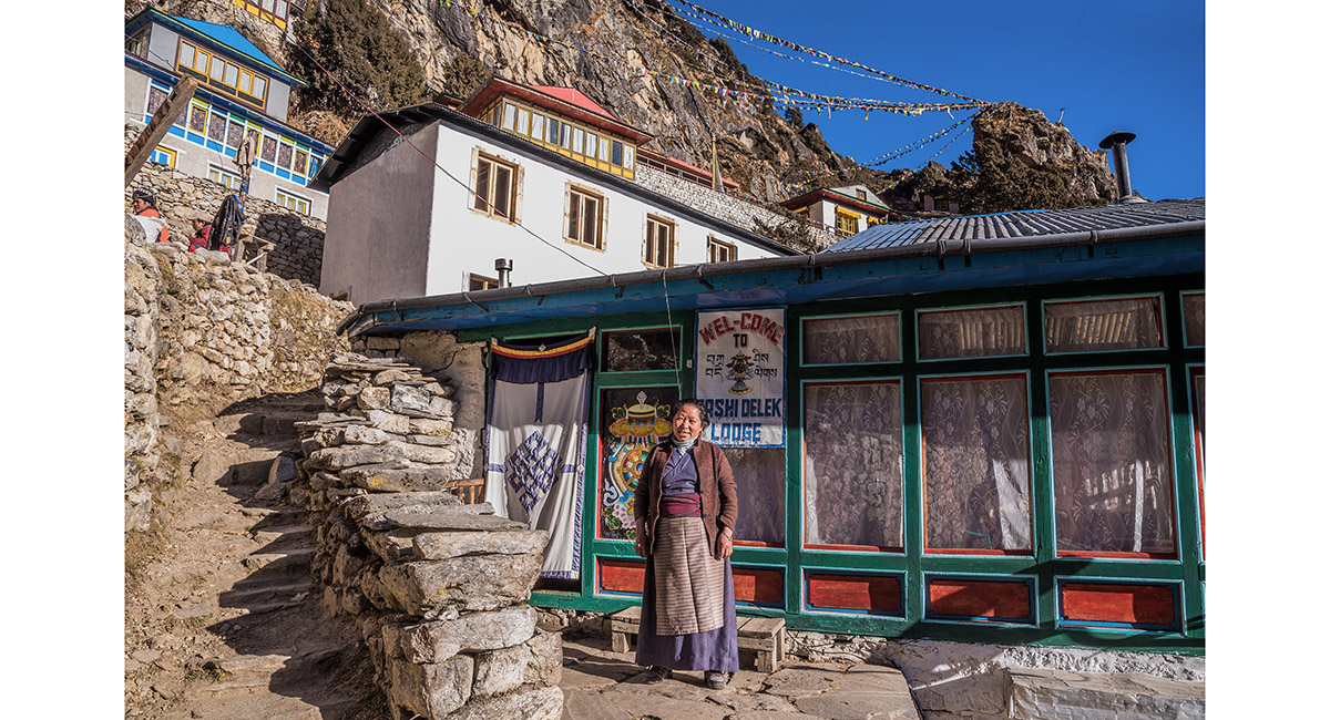
Outside Tashi Delek Lodge, with Thame Gompa above


| Business as usual at Tashi Delek Lodge |


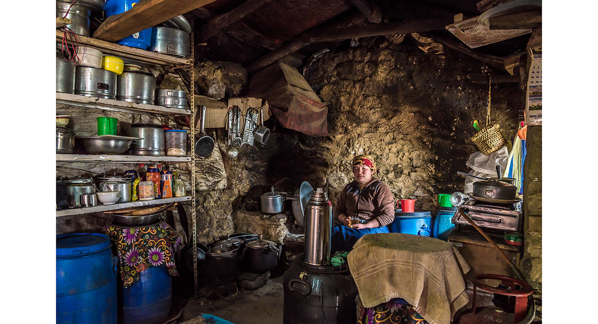
In the kitchen of Tashi Delek Lodge, directly underneath Thame Gompa

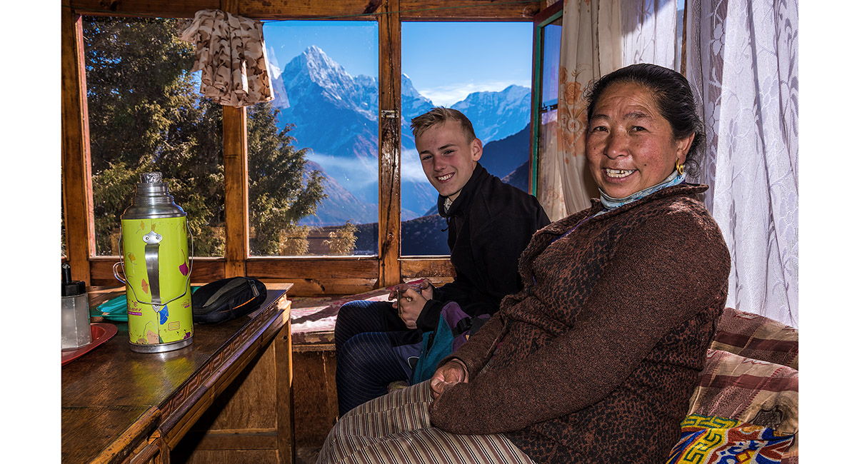
In the dining room of Tashi Delek Lodge, directly underneath Thame Gompa


From left, Kangtega (6,779m) and Tamserku (6,608m), viewed from Tashi Delek Lodge

From left, Kangtega (6,779m) and Tamserku (6,608m), viewed from Tashi Delek Lodge at sunset

From left, Kangtega (6,779m), Tamserku (6,608m) and Kusum Kanguru (6,369m), viewed from Tashi Delek Lodge at sunset


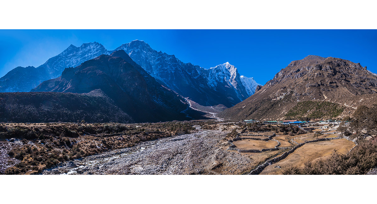
A view from below Thame Gompa to Thame with, from left, Kangtega (6,779m) and Tamserku (6,608m)

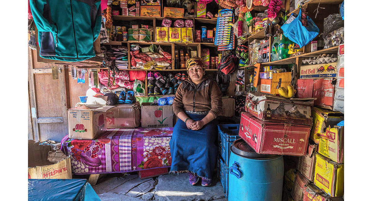
Inside the local store at Thame

Inside the local store at Thame

Looking across Thame to, from left, Kwangde, Tengkangpoche, Panayo Tippa and Sundur Peak (the rocky high point at right

Looking across Thame to, from left, Kwangde, Tengkangpoche, Panayo Tippa and Sundur Peak (the rocky high point at right

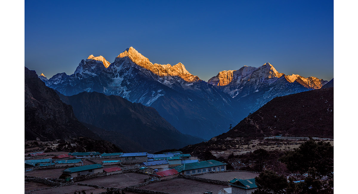
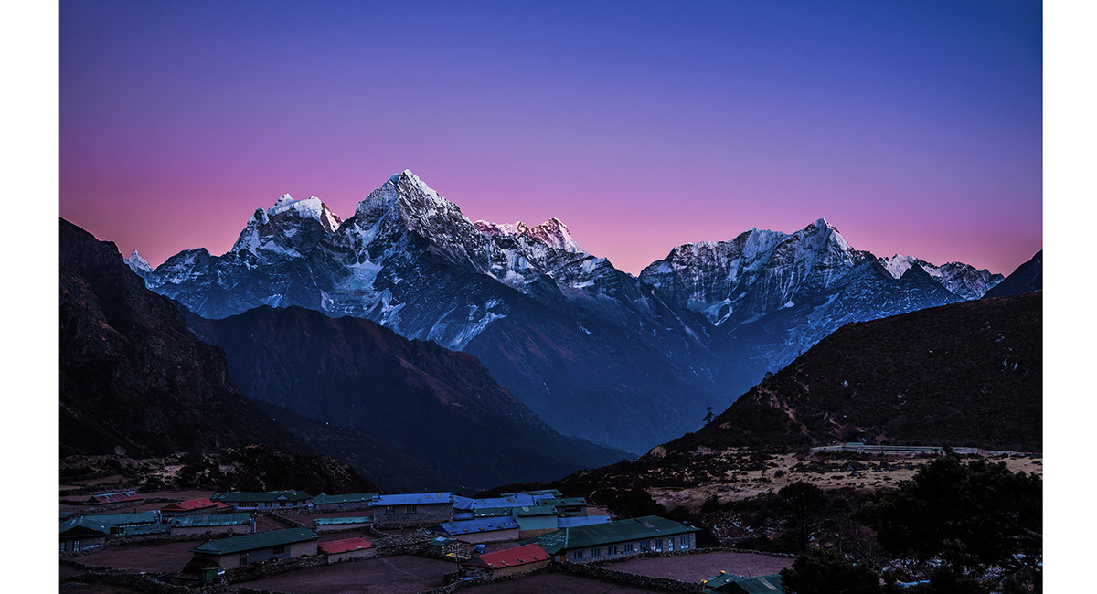
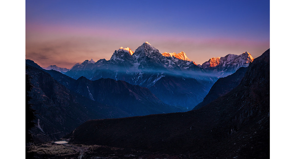
From left, Kangtega (6,779m), Tamserku (6,608m) and Kusum Kanguru (6,369m), viewed from the lower eastern end of Thame. Samde is the village at bottom left and the sunlit ridge in the middle distance stretches between the Hillary memorial and Khunde Peak


On the ridge to the south of Thame, with Tengkangpoche above left and Sundur peak (5,377m), right. The trekking high point is at 5,000m, a little to the left of the main rocky summit

On the ridge to the south of Thame with, from left, Kangtega (6,779m), Tamserku (6,608m) and Kusum Kanguru (6,369m) and Samde in the foreground

From left, Kangtega (6,779m), Tamserku (6,608m) and Kusum Kanguru (6,369m), viewed from the lower eastern end of Thame. Samde is the village at bottom left and the trail at bottom right is the beginning of the route around the flanks of Kwangde to Kongde


To order a print or web resolution file of any image you see in this slide show, just right click the image, click “Copy Image URL” and paste in to the “Your message” box of our Contact Us form. Please also note, for each image, if you want a print or web resolution file. We will get back to you as soon as possible to confirm price and payment details.
Open Contact Us in a new window to paste Image URL(s) easily