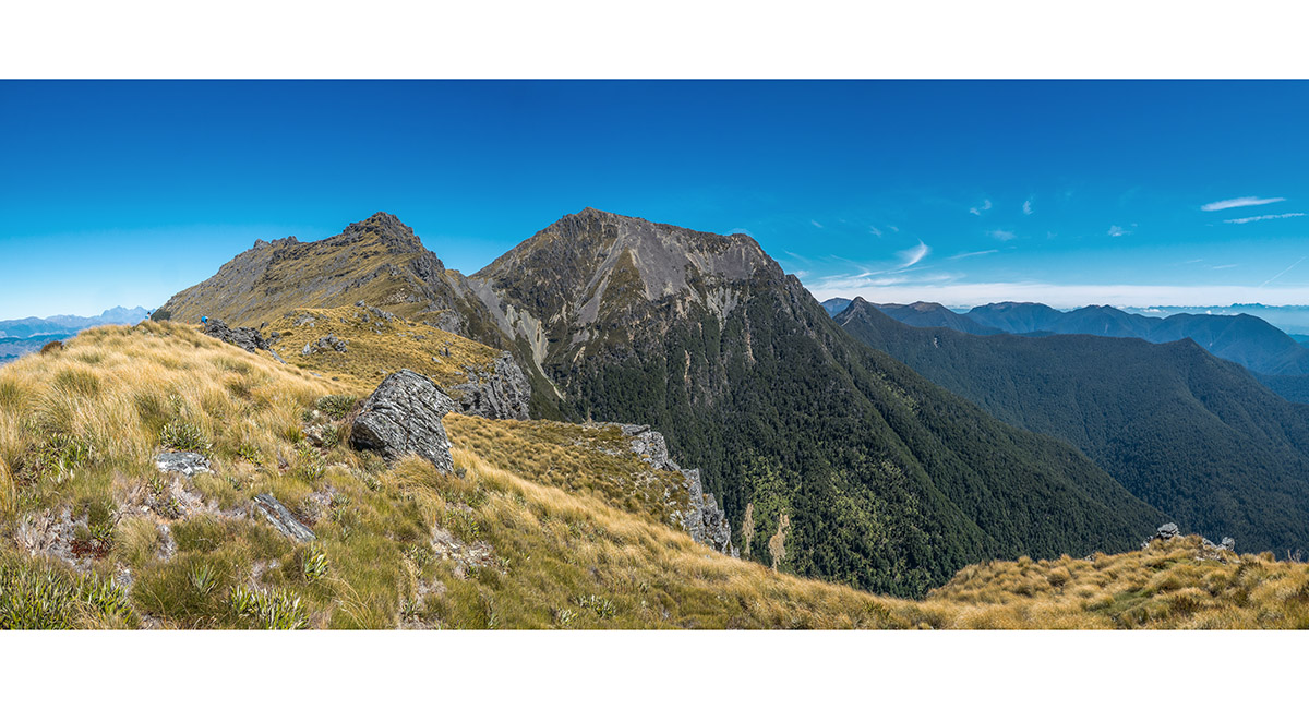
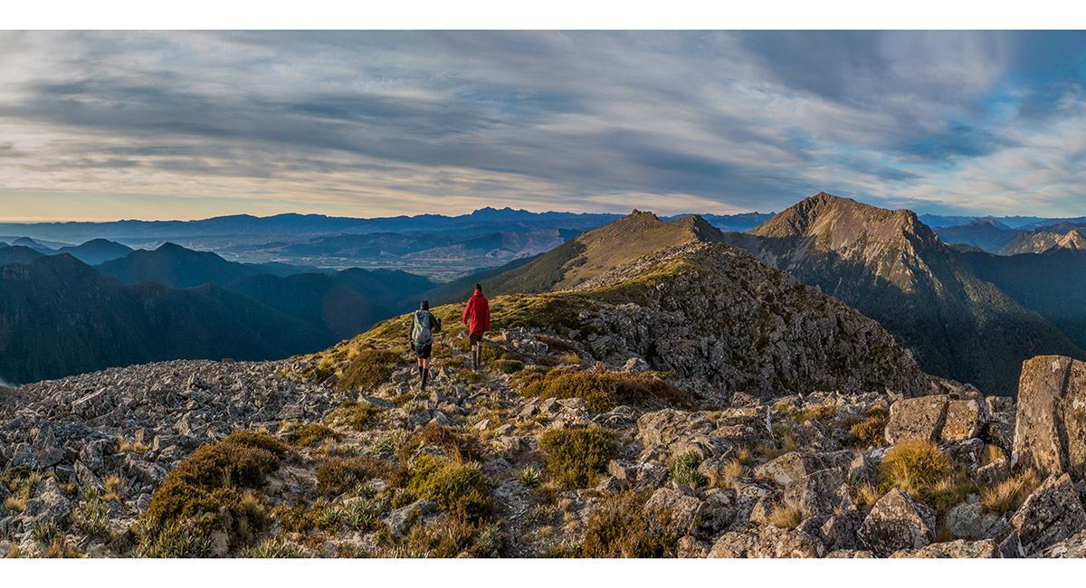
Peaks above Mt Fell Hut, March 2024
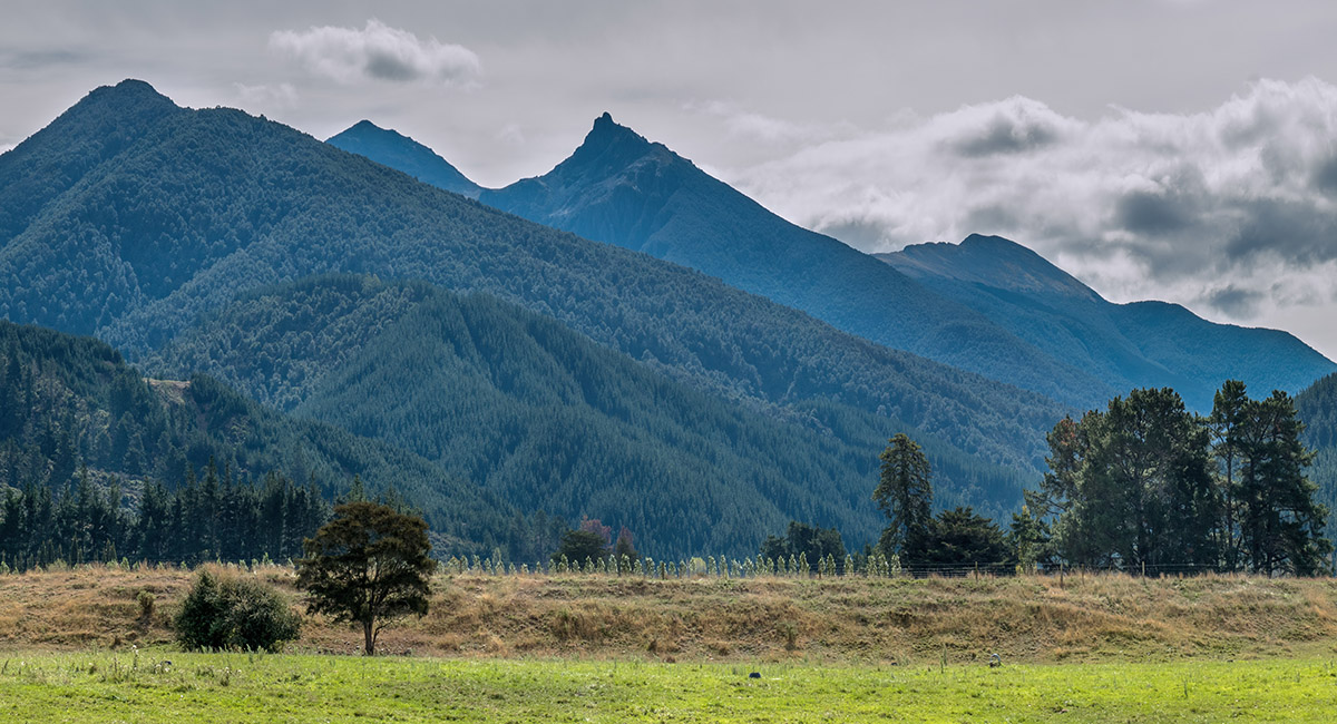
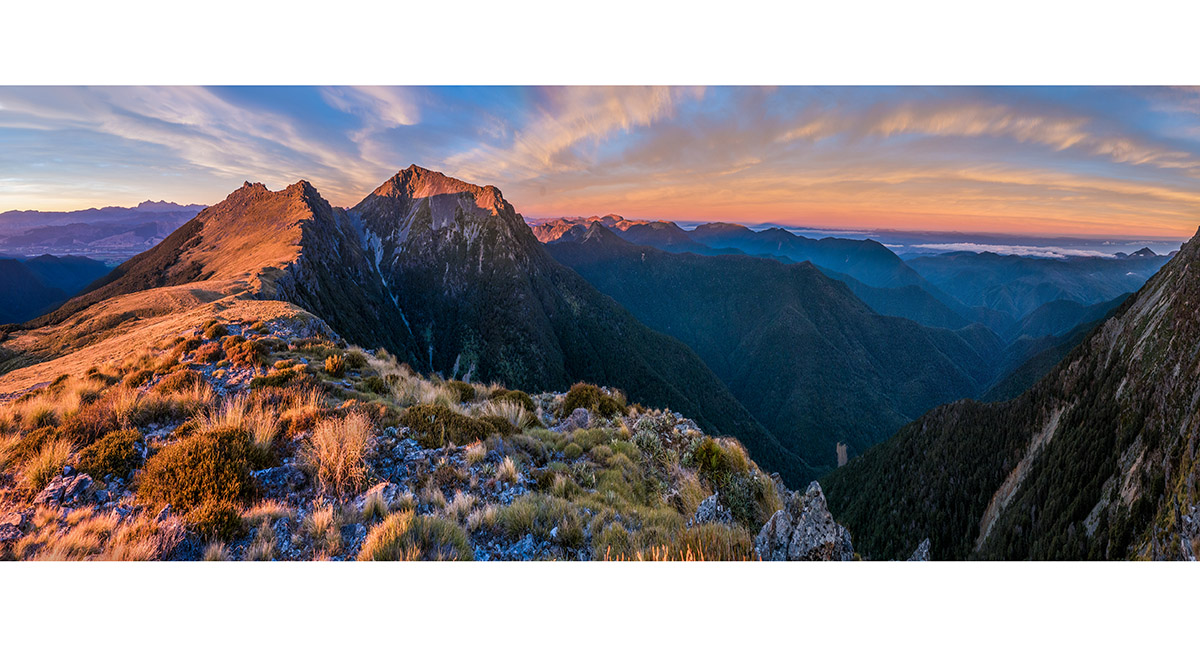
View northwest from Northbank Road to Mt Richmond (1,760m) mid left, Johnston Peak (1,647m) centre and Mt Fell (1,602m) right

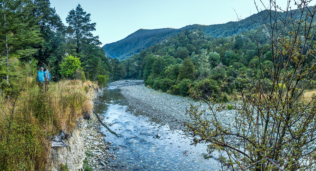
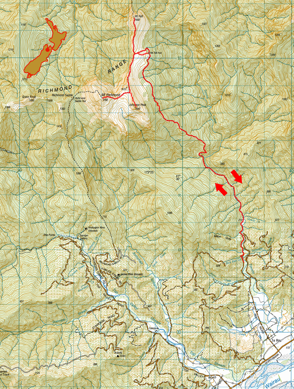
On the trail beside Timms Creek at about 200m


On the trail beside Timms Creek at about 200m

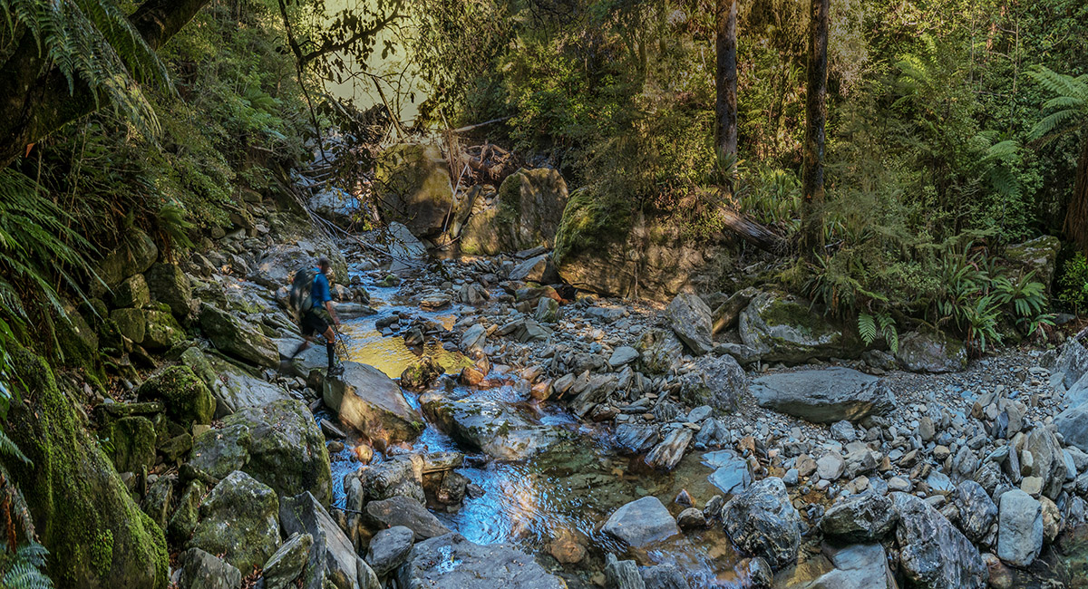
Crossing a tributary stream on the trail beside Timms Creek at about 270m

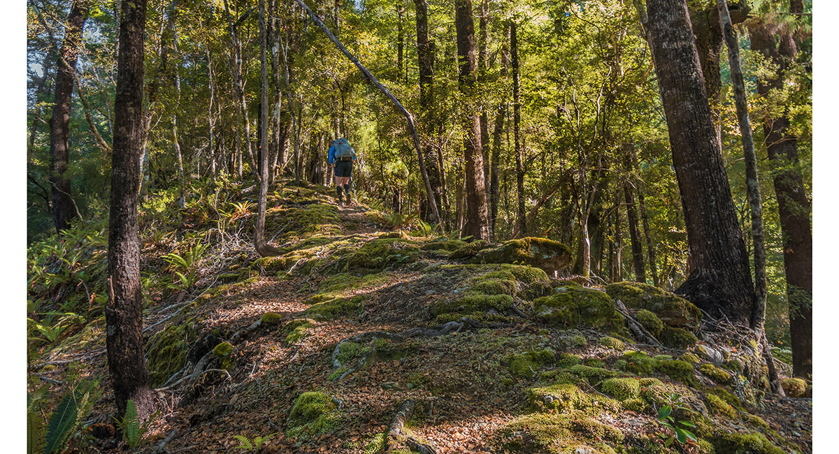
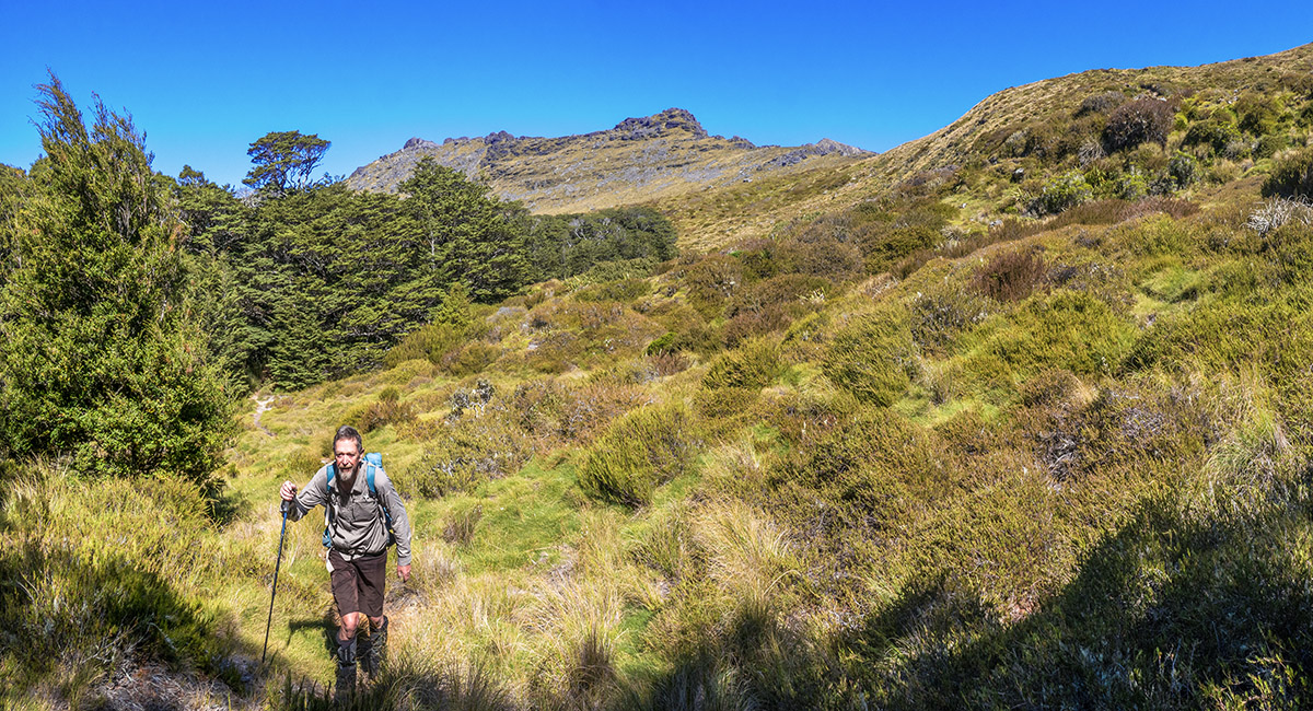
At 600m on the south eastern spur off Johnston Peak that the trail follows

Clearing the bushline at about 1,280m, with Pt 1613 (centre) and Johnston Peak (left) behind

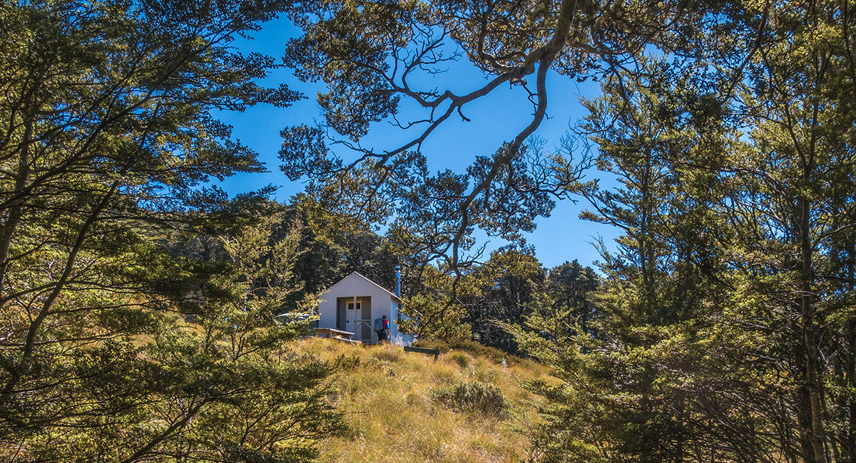
Mt Fell Hut (1,285m)

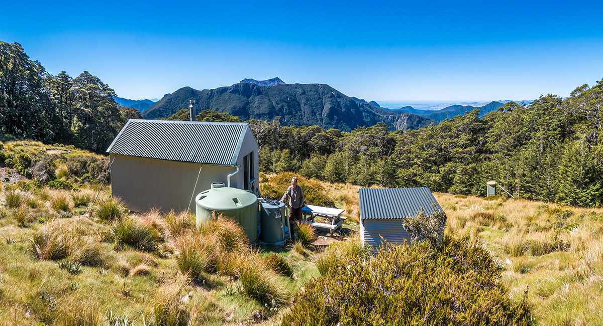
Mt Fell Hut, with Mt Fishtail (1,641m) behind

A view from the 1,400m saddle above Mt Fell Hut, to Mt Richmond (centre) and Pt 1613 (left)

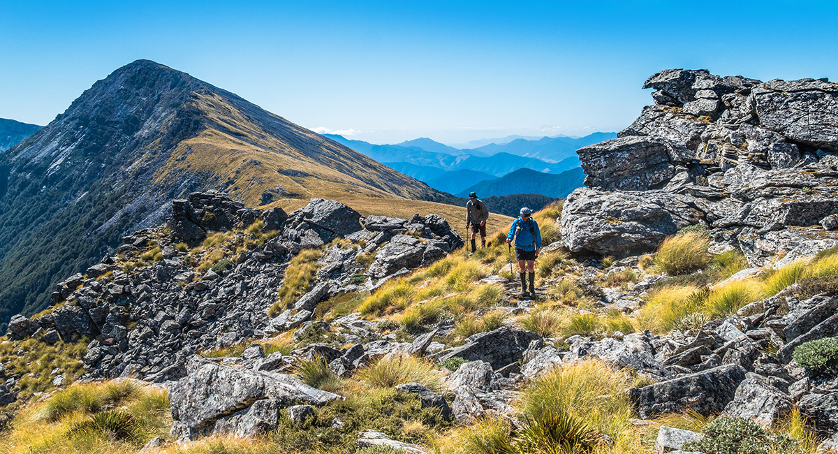
On the climb to the 1,570m saddle between Pt 1613 and Johnston Peak, with Mt Fell (1,602m) at left

On the climb to the 1,570m saddle between Pt 1613 and Johnston Peak, with Mt Fell (left) and Mt Fishtail (right)


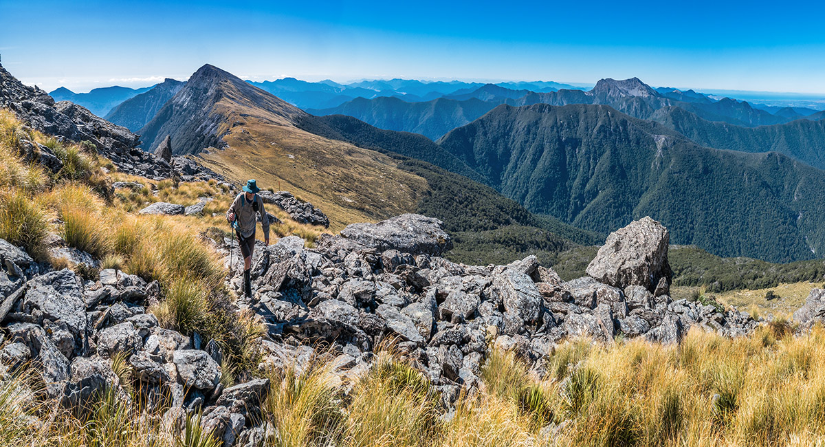
On the 1,570m saddle between Pt 1613 and Johnston Peak (1,647m, left), with Mt Richmond (1,760m) right


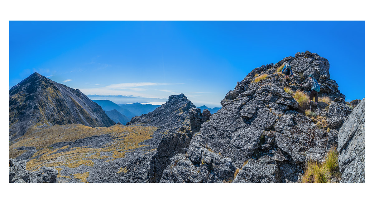
Climbing the long blocky ridge of Johnston Peak

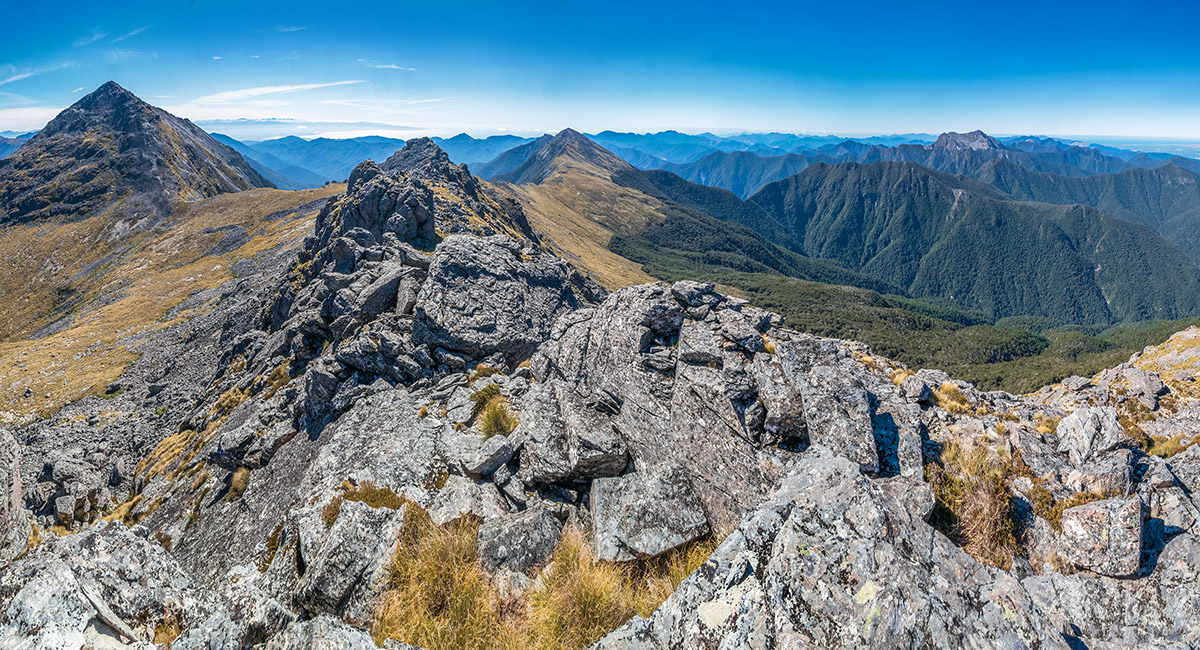
The view east to Mt Richmond, north to Mt Fell, and east to Mt Fishtail, from Johnston Peak (1,647m)

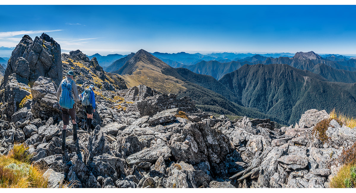
Descending Johnston Peak, with Mt Fell left of centre and Mt Fishtail right

Descending Johnston Peak, with Mt Richmond left and Pt 1613 centre


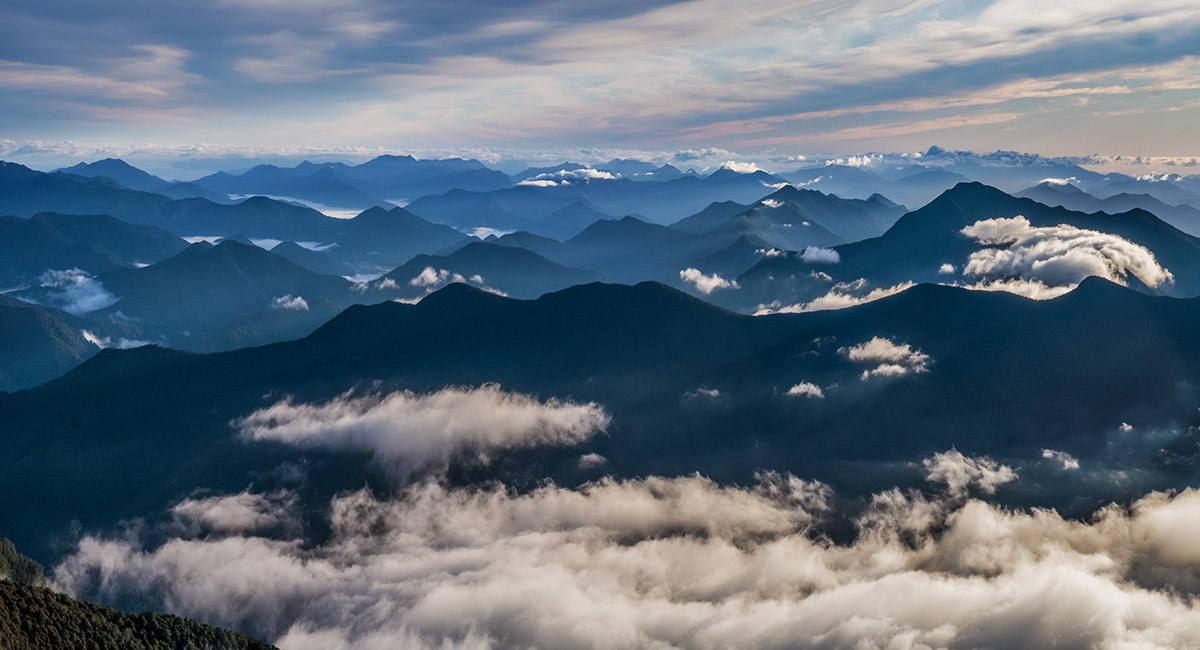
Mt Richmond summit view with Wairau Valley, south to the left, and Tasman Bay, north to the right. Slaty Peak, Old Man and Mt Rintoul are in view centre


Mt Richmond summit view with Tasman Bay north and far left, Mt Fell left of centre, Pt 1613 and Mt Fishtail centre, Johnston Peak right, and south to Wairau Valley, far right

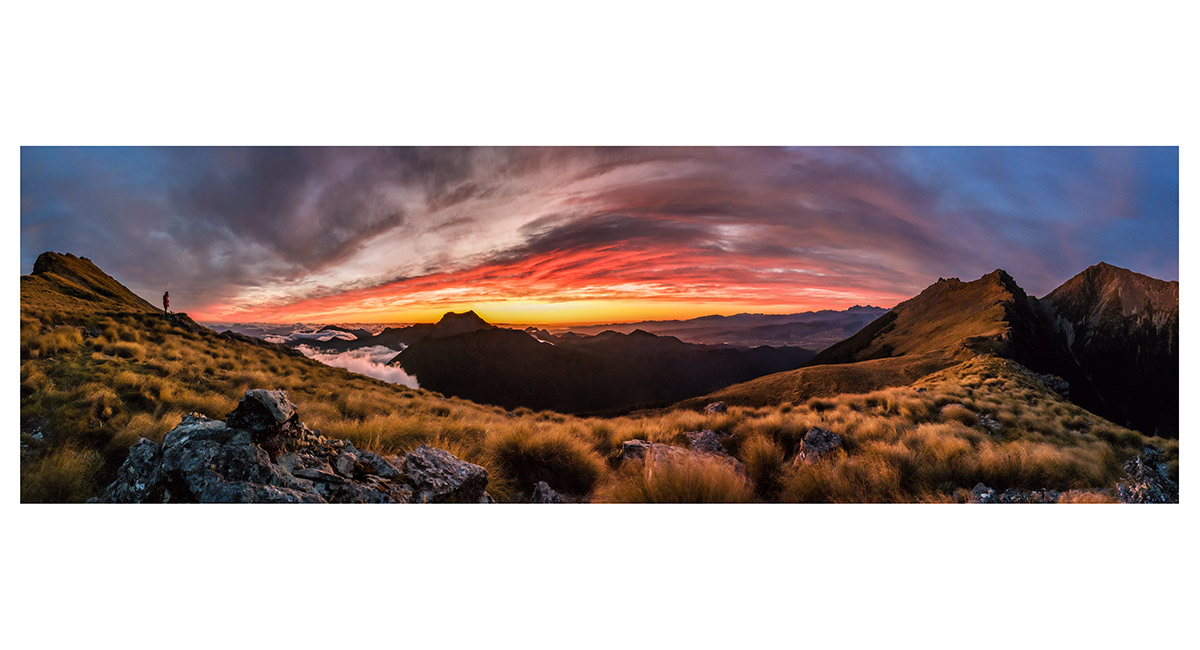
Dawn view from 1,450m on Mt Fell, with Mt Fishtail silhouetted left of centre, Tapae-O-Uenuku distant skyline, just left of Johnston Peak, Pt 1613 and Mt Richmond (right)

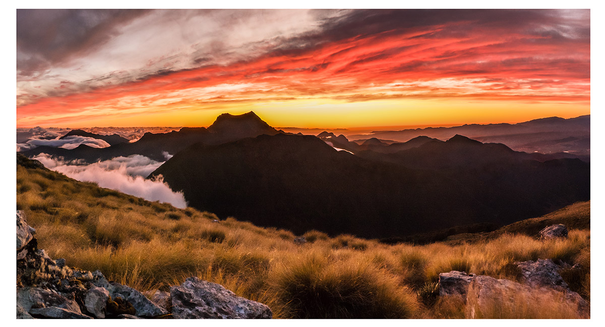
Dawn view east from 1,450m on Mt Fell to Mt Fishtail

Sunrise from 1,450m on Mt Fell to Mt Fishtail

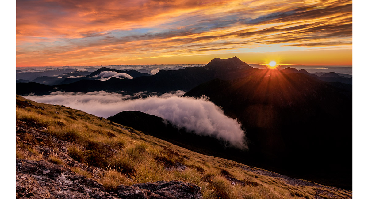
Dawn view from about 1,500m on Mt Fell, south to Mt Richmond, left of centre


Mt Fell summit view north to Pt 1411 and Pt 1496 (left), and east to Mt Fishtail, far right

Peaks to the north of the summit of Mt Fell (1,602m)

Mt Fell summit view south to Tapae-O-Uenuku distant centre skyline, and Johnston Peak, Pt 1613 and Mt Richmond right

Read about it Worth sweating for # 26 (Mt Fell Hut, Richmond Range) Captivating Photography June 24
To order a print or web resolution file of any image you see in this slide show, just right click the image, click “Copy Image URL” and paste in to the “Your message” box of our Contact Us form. Please also note, for each image, if you want a print or web resolution file. We will get back to you as soon as possible to confirm price and payment details.
Open Contact Us in a new window to paste Image URL(s) easily