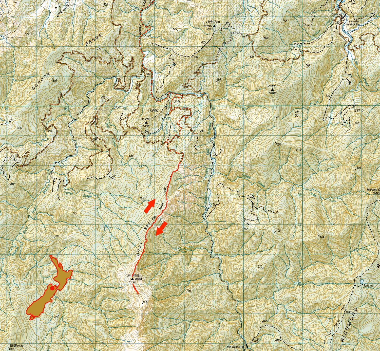
Ben Nevis, May 2025
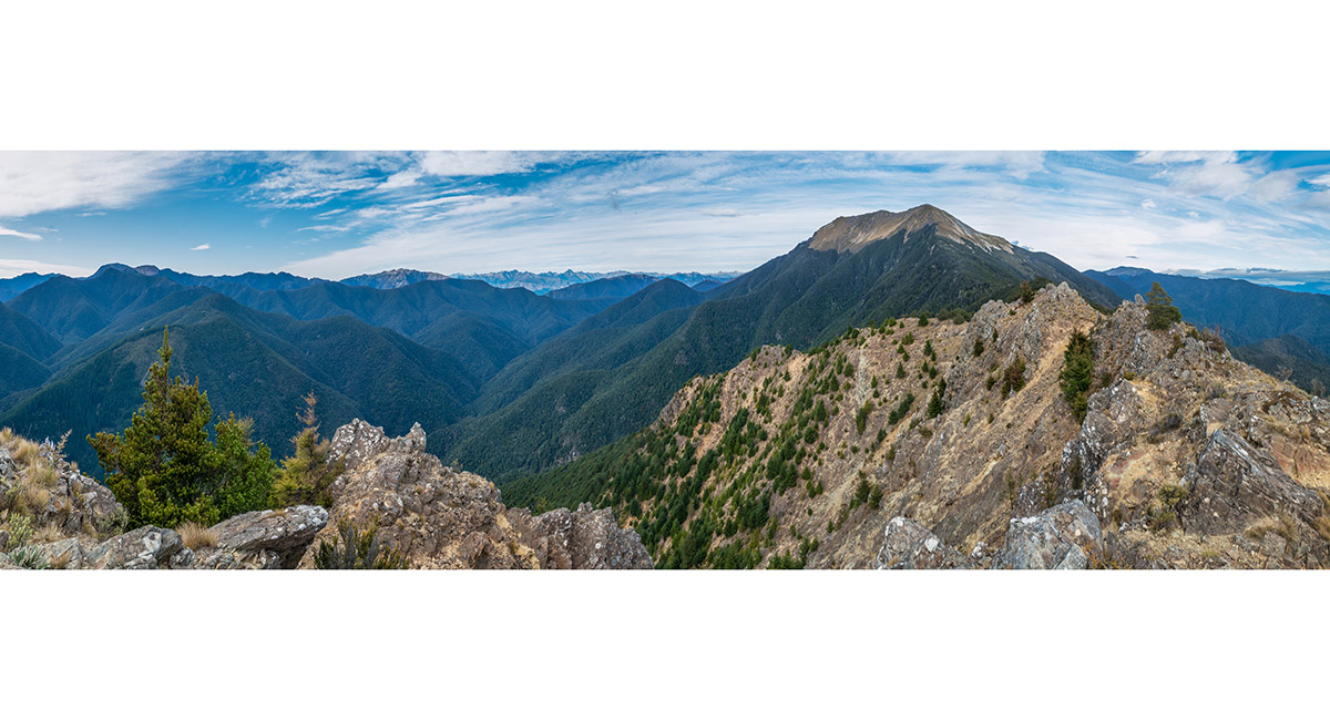
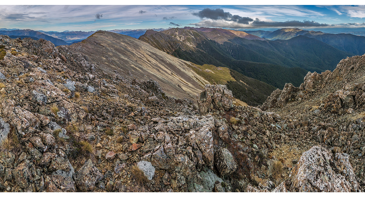
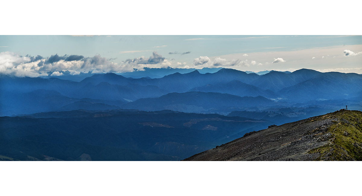
The view south to Ben Nevis from 1,170m. Mt Rintoul is the broad mound far left and Mt Patriarch is mid left

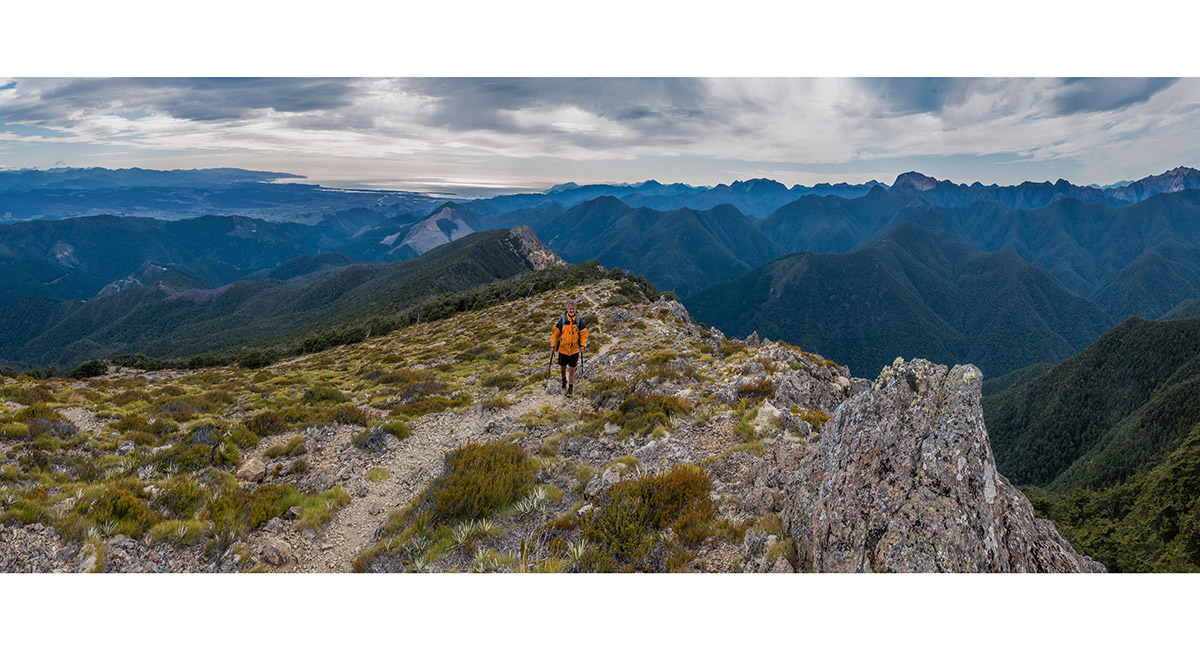
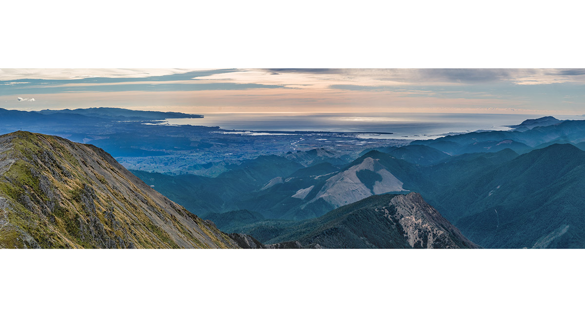
The view north from 1,360m, to Tasman Bay. Mt Patriarch is far right and Mt Rintoul mid right

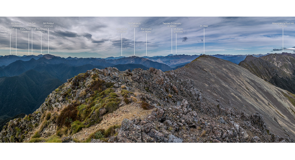
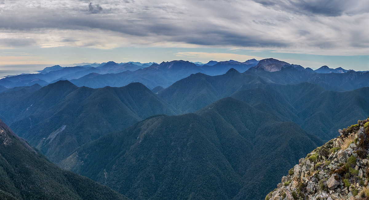
The view south from the high point beyond the summit of Ben Nevis (1,619m), looking to Pt1642 centre. Maungakura/Red Hills is on the right skyline and Gordons Knob, far right. Tapuae-O-Uenuku just left of Pt1642, then Mt Patriarch and Mt Rintoul

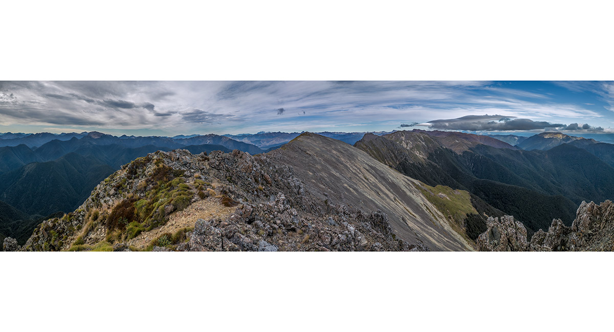
The view south from the high point beyond Ben Nevis summit (1,619m)

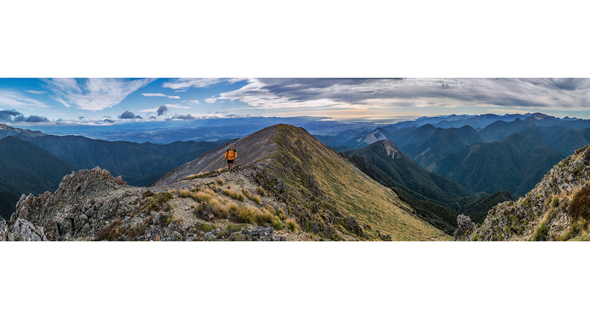
Looking south along the ridge from Ben Nevis leading to Maungakura/Red Hill (centre). Gordons Knob is at right

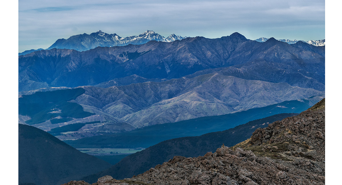
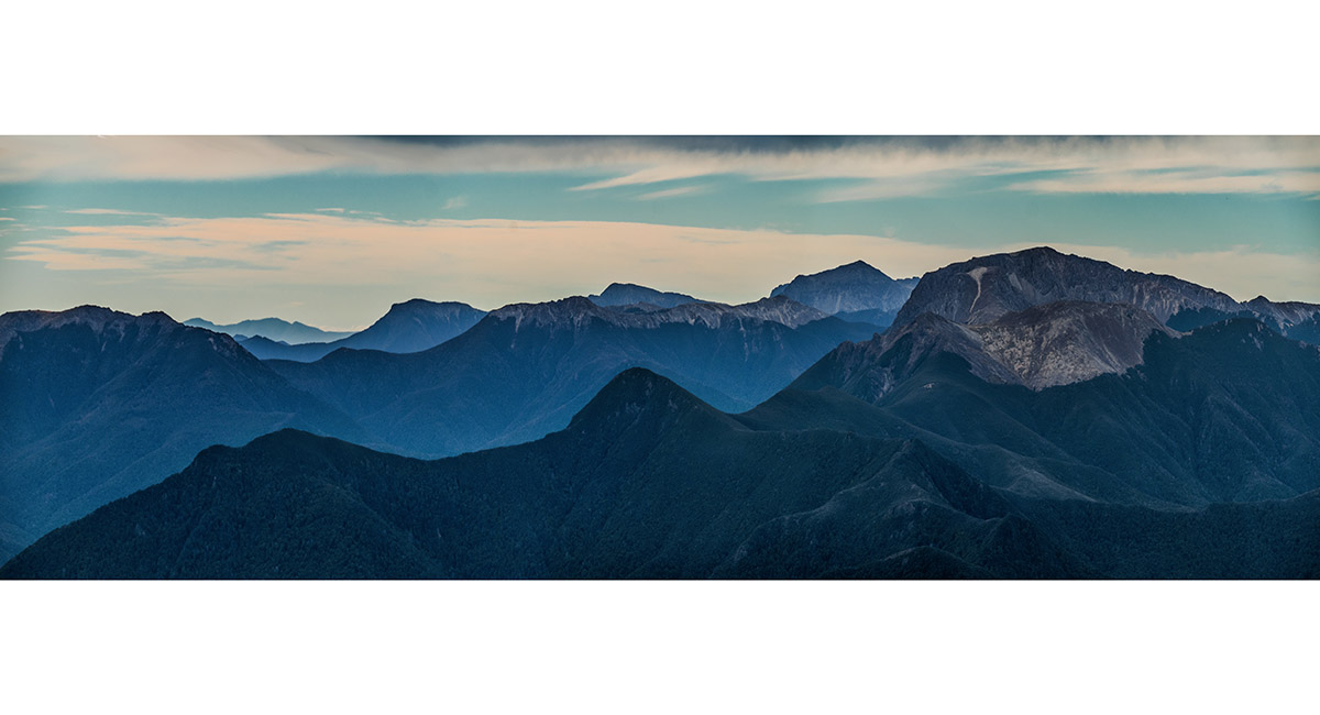
From left, Tapuae-O-Uenuku (2,885m), Mt Alarm (2,877m) and Mitre Peak (2,621m), from Ben Nevis

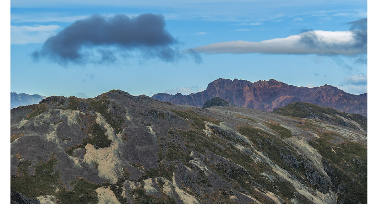
Maungakura/Red Hill (1,791m, right of centre), from Ben Nevis

Looking north past the summit of Ben Nevis to Tasman Bay. Mt Rintoul far right

Looking north over the summit of Ben Nevis to Tasman Bay, with Richmond Hill (513m), Grampians (390m) and Drumduan (657m) at far right

Looking northwest to, from right, Pukeone/Mt Campbell (1,330m), Hoary Head (1,473m), Crusader (1,428m), McMahon (1,342m), Lodestone (1,460m) and the ridge leading to Mt Arthur in cloud at left

A view east to, from left, distant Mt Stokes (1,203m), Slaty Peak (1,544m), Mt Fell (1,602m), Mt Richmond (1,760m) and Mt Rintoul (1,731m)

A view northeast with Drumduan far left and Mt Rintoul right

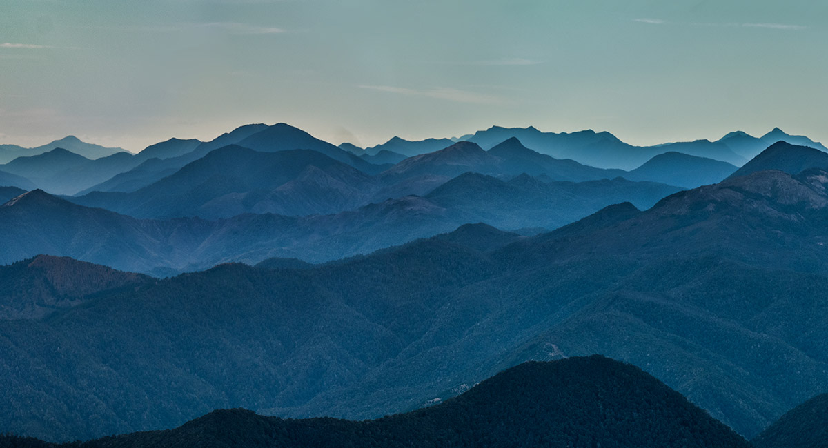
A view northeast to distant Saddle Hill (1,215m, left)

To order a print or web resolution file of any image you see in this slide show, just right click the image, click “Copy Image URL” and paste in to the “Your message” box of our Contact Us form. Please also note, for each image, if you want a print or web resolution file. We will get back to you as soon as possible to confirm price and payment details.
Open Contact Us in a new window to paste Image URL(s) easily