North face, Mt Cupola, October 2020
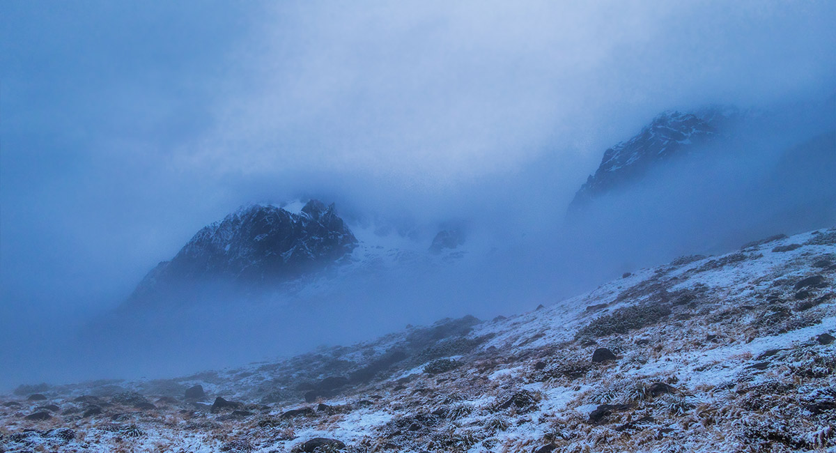
Mount Cupola (left), shrouded in cloud, above Cupola Hut


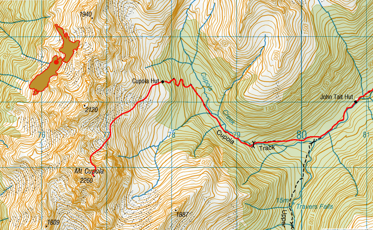
Cupola Hut

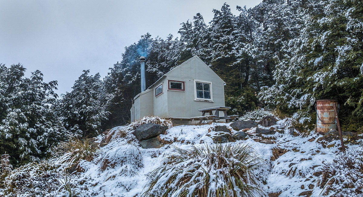
Cupola Hut

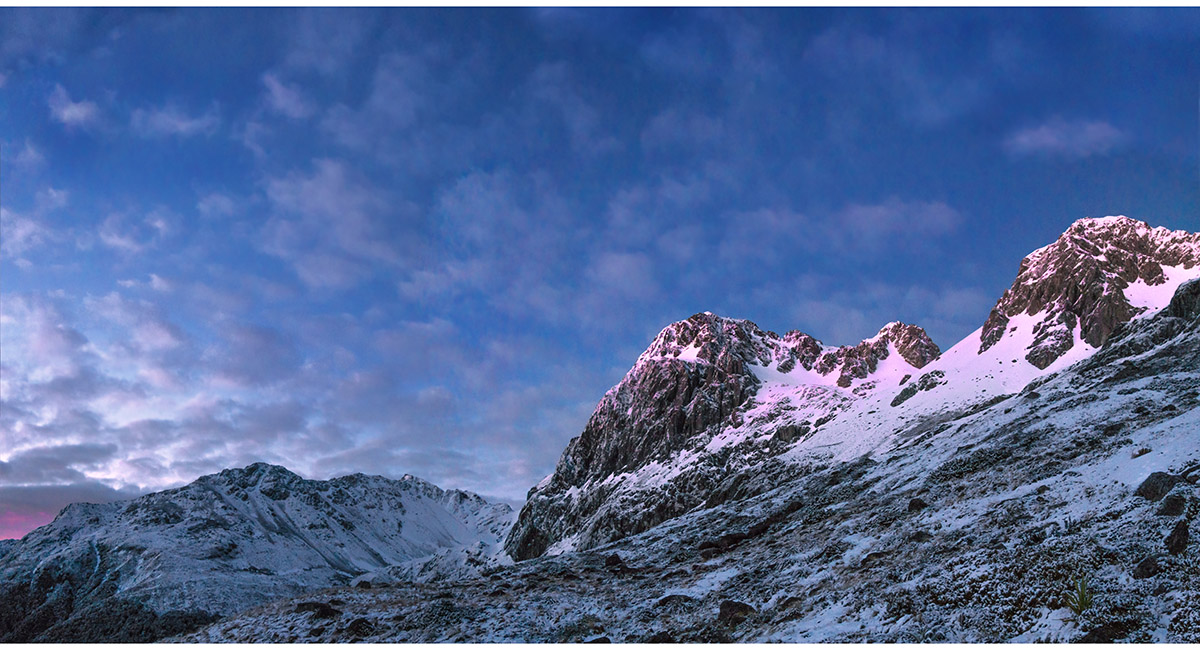
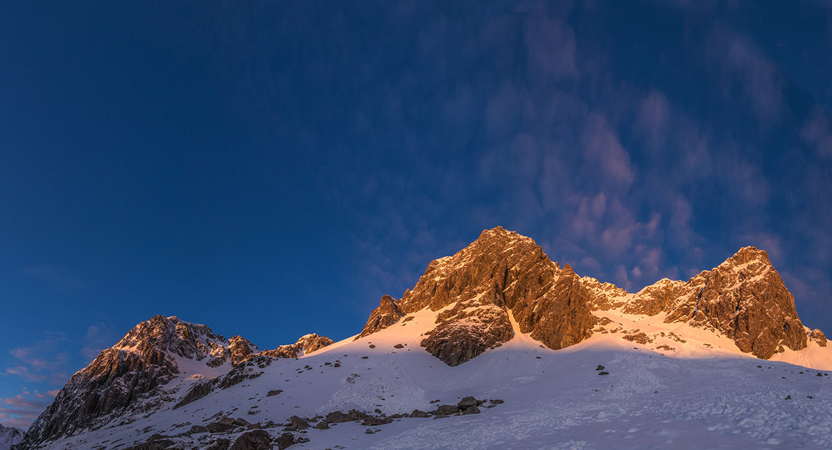
The north face of Mount Cupola (centre), dawn, above Cupola Hut

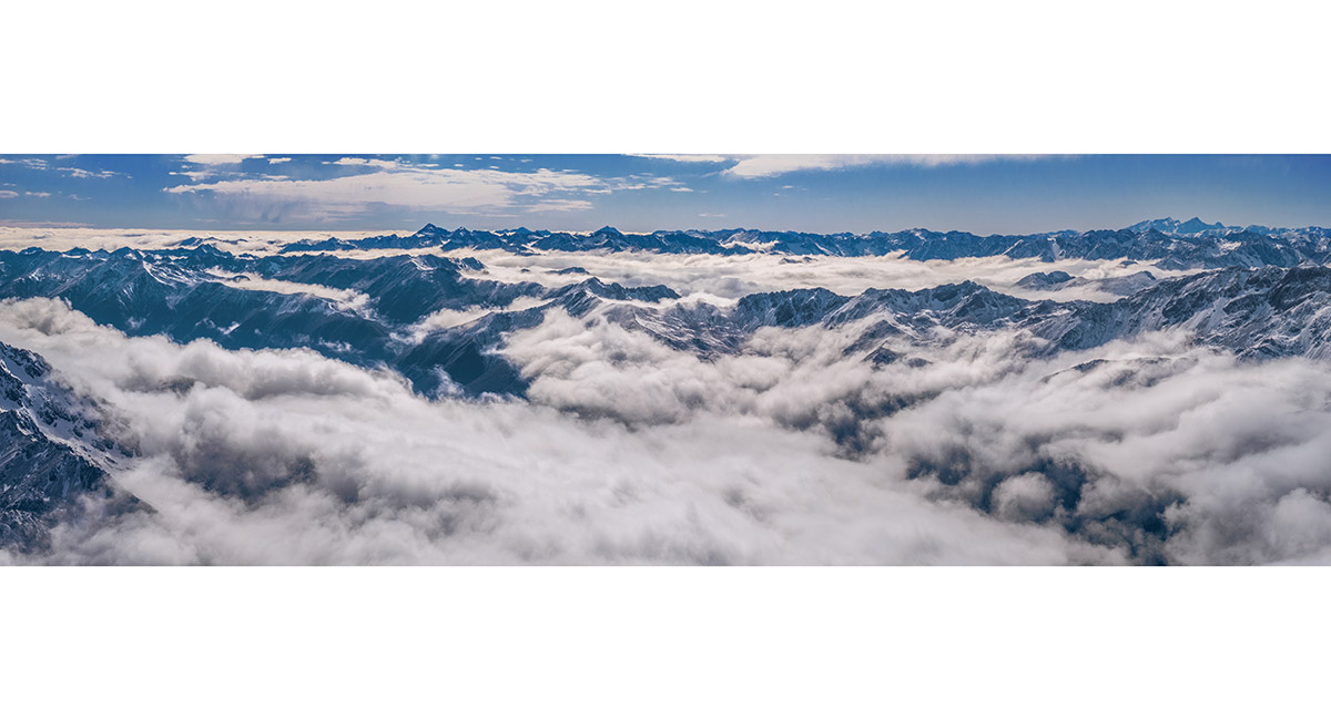
The view north en route to Mt Cupola, to Mt Hopeless


The view north enroute to Mt Cupola, to Mt Hopeless

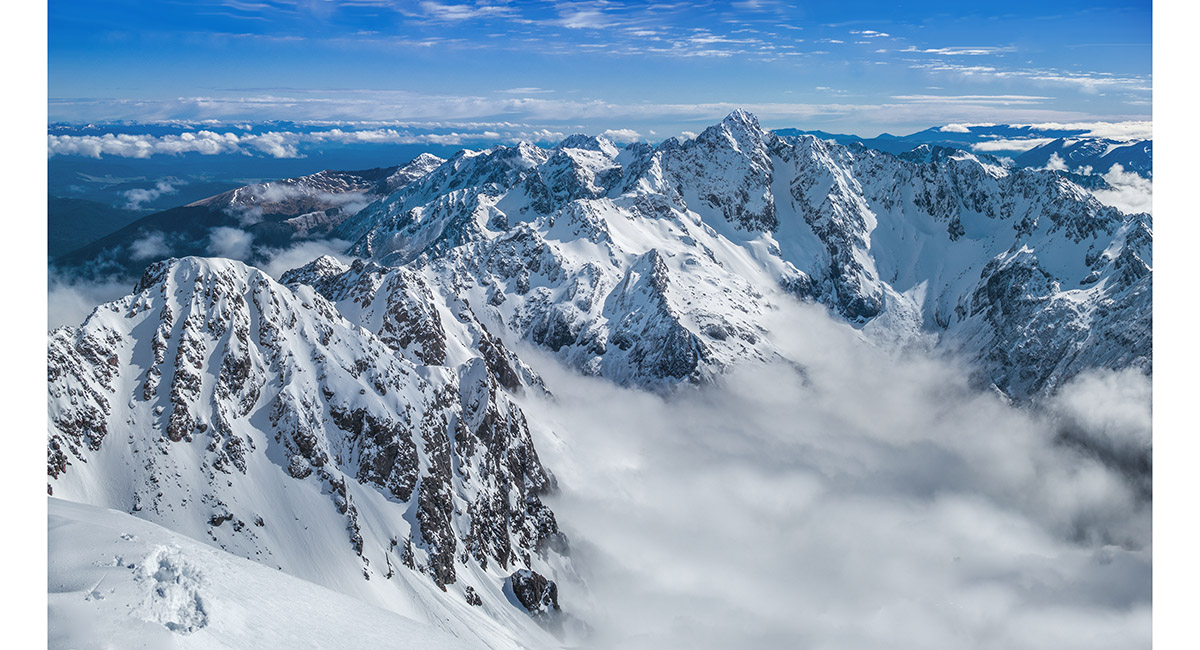
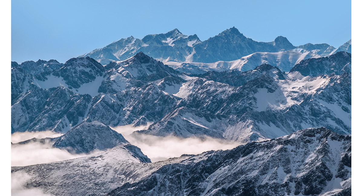
A section of the Travers Range, with Mt Cupola far left, from above Cupola Hut

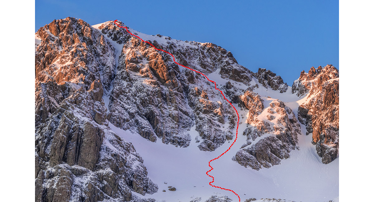
The north face route on Mt Cupola

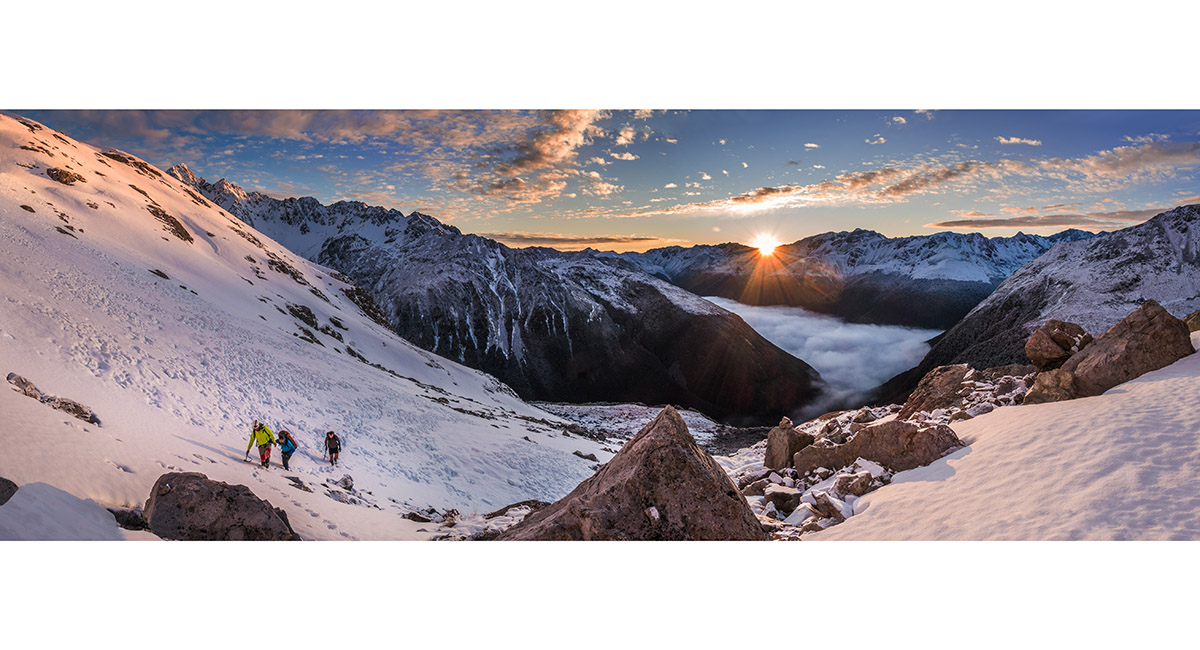
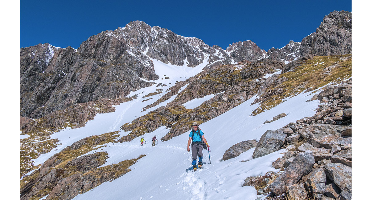
The view east at sunrise, from about 1,750 metres, en route to Mt Cupola

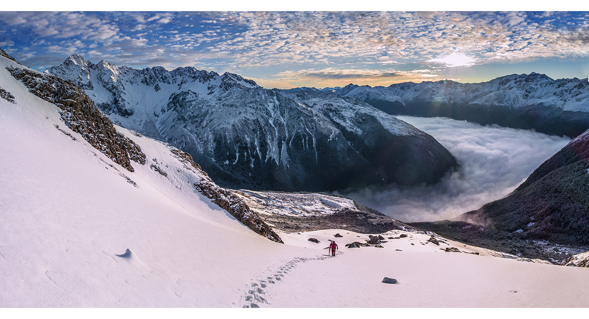
The view east at sunrise, from about 1,800 metres, en route to Mt Cupola

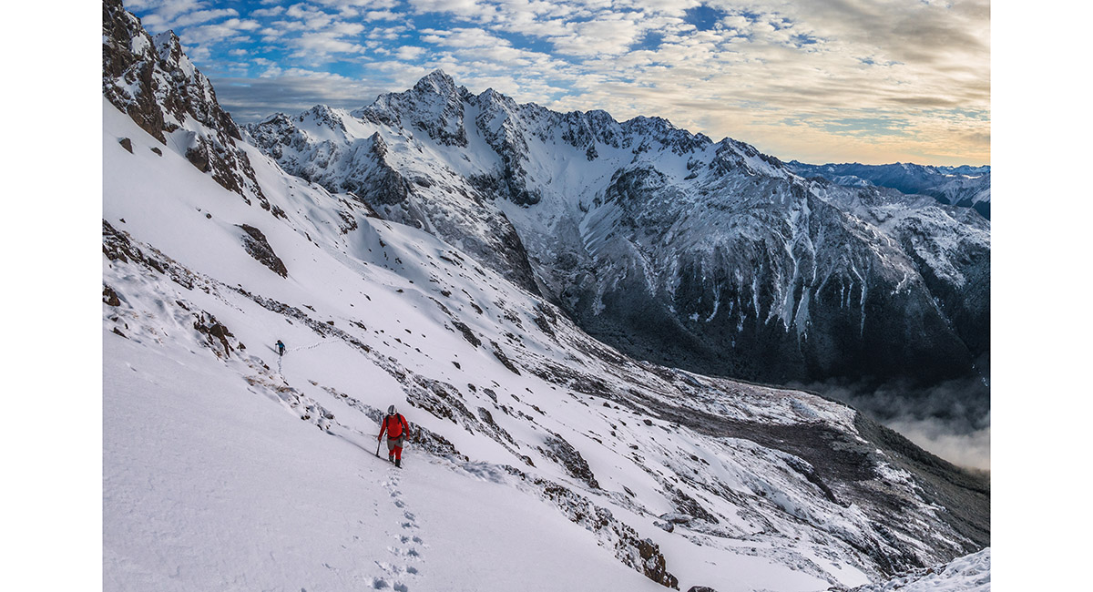
The view north to Mt Hopeless at dawn, from about 1,800 metres, en route to Mt Cupola

The view north east to Mt Hopeless (left) and Travers Valley (right), from about 1,850 metres, en route to Mt Cupola


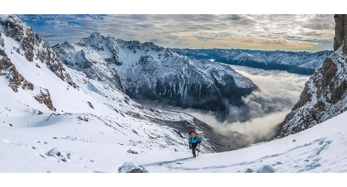
Approaching the entry point to the couloir on Mt Cupola's north face, about 1,900 metres


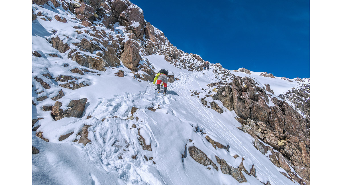
On the first 100 metre stretch of the couloir

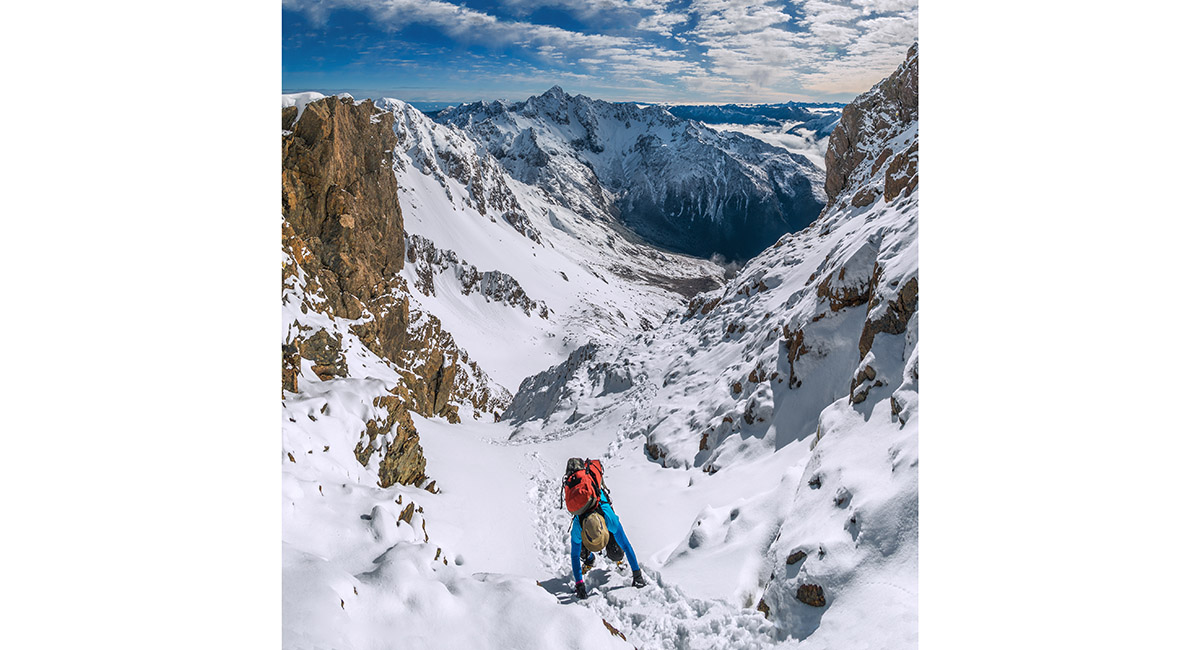
Near the top of the 200 metre couloir, at about 2,100m


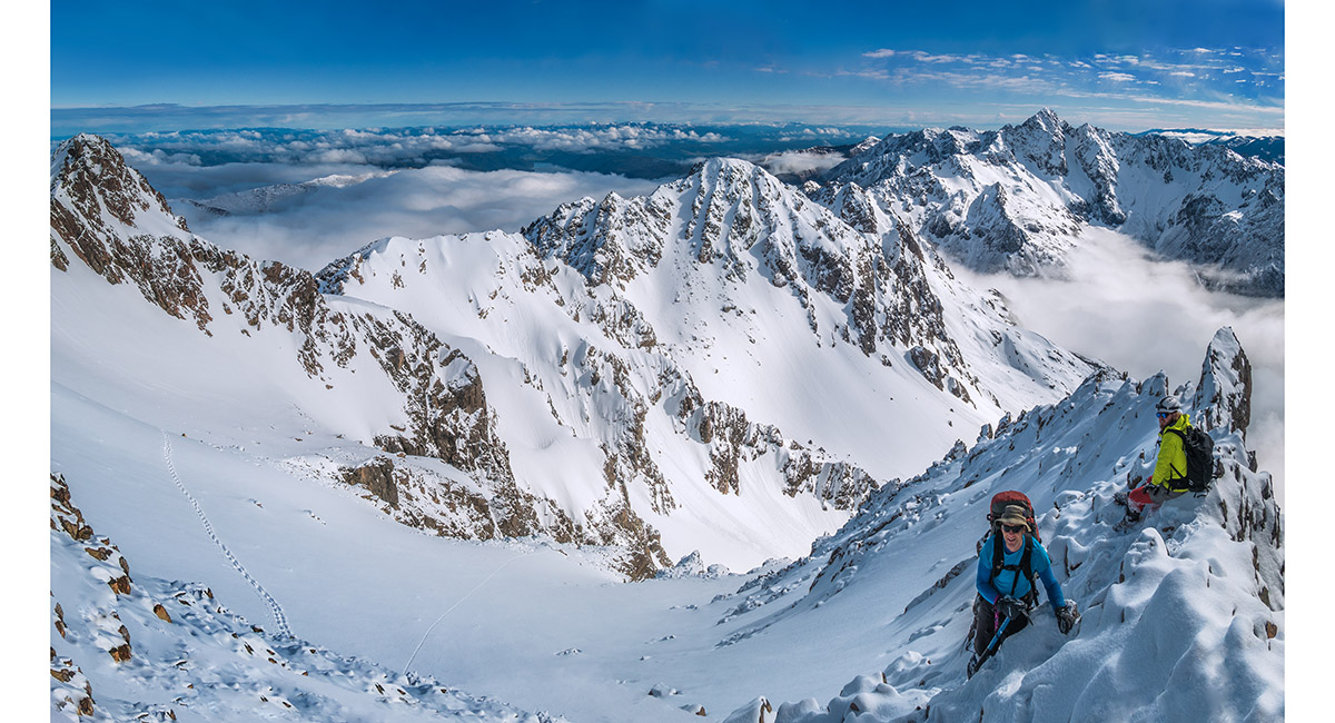
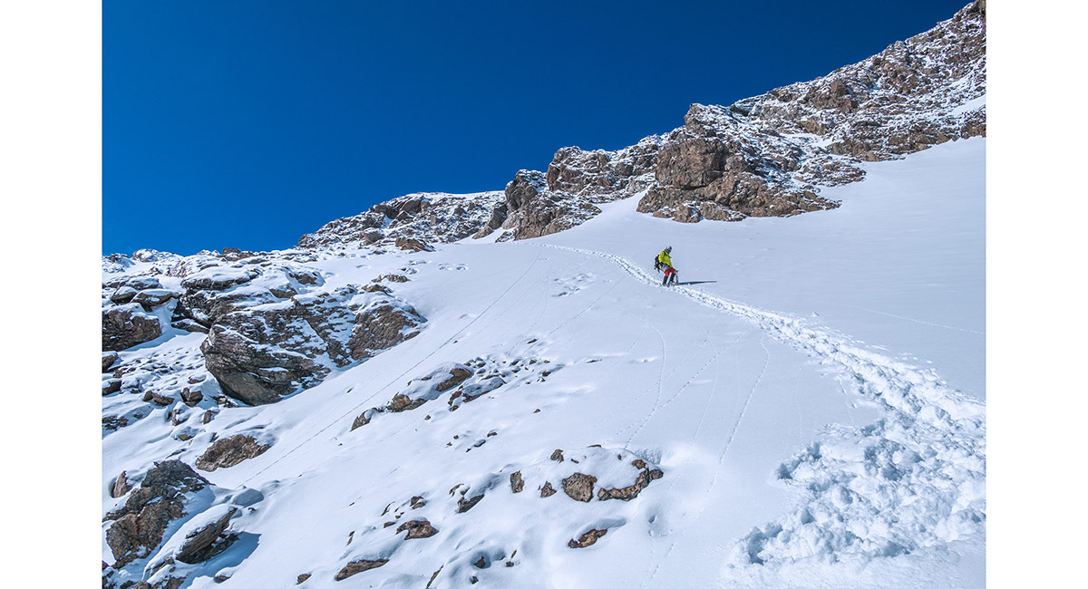
Ascending more gradual snow slopes below the summit

On a rocky section at about 2,150m, below the summit

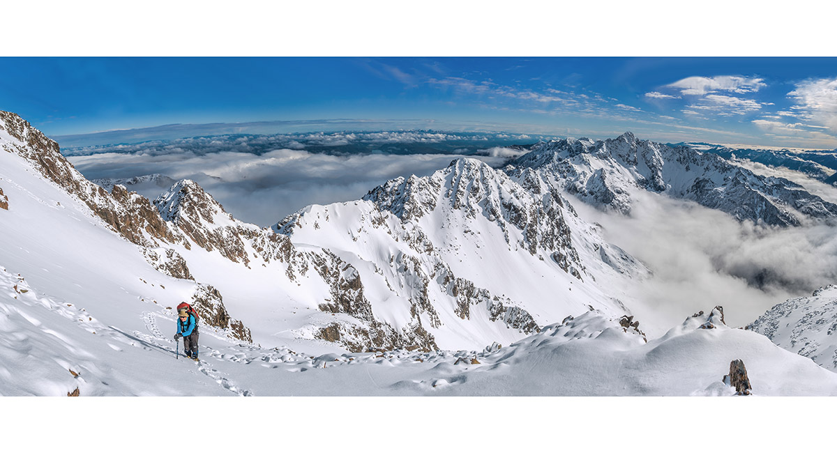
Ascending a snow slope just before the final summit ridge

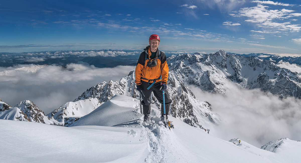
On the summit (2,260m), looking north with Mt Hopeless at right


Approaching the summit, with Mt Hopeless at centre (north) and Tapuae-O-Uenuku far right skyline (east)

Looking north from the summit to Mt Hopeless (2,278m) and Mt Angelus (2,075m - left of centre)

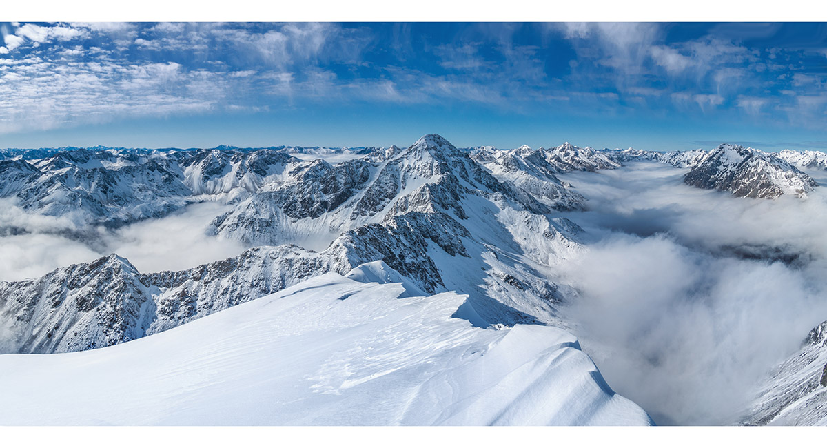
Looking south from the summit, Mt Travers (2,338m) centre and Mt Franklin (2,340m) far right

Looking east from the summit to Tapuae-O-Uenuku (2,885m)

Looking east from the summit to Tapuae-O-Uenuku (2,885m), Alarm and Mitre, far right skyline and northeast to Scotts Knob (1,678m - the pyramid left of centre)

On the descent, at about 2,200m

On the descent, at about 2,150m

Back down below the couloir, at about 1,800m

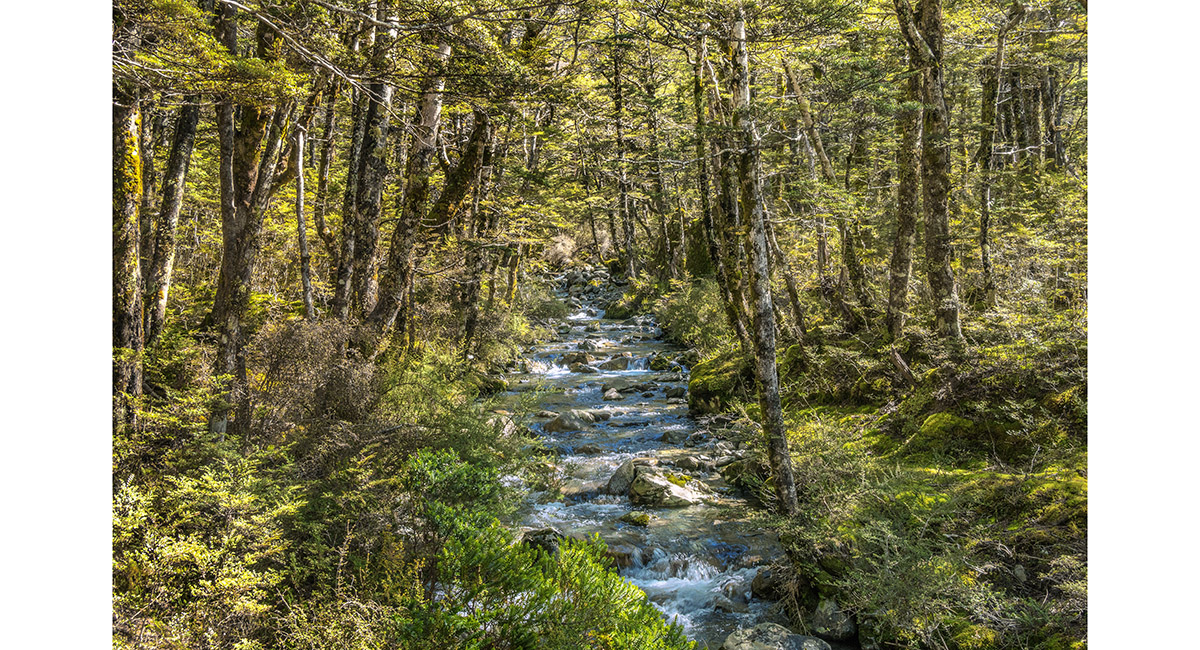
A tributary stream on the true left of Cupola Creek, at about 1,000m

Read about it Worth Sweating for NZ Photographer Dec 20 A high country charmer Wilderness Magazine Jun 22 The crusty couloir Wilderness Magazine July 22
To order a print or web resolution file of any image you see in this slide show, just right click the image, click “Copy Image URL” and paste in to the “Your message” box of our Contact Us form. Please also note, for each image, if you want a print or web resolution file. We will get back to you as soon as possible to confirm price and payment details.
Open Contact Us in a new window to paste Image URL(s) easily