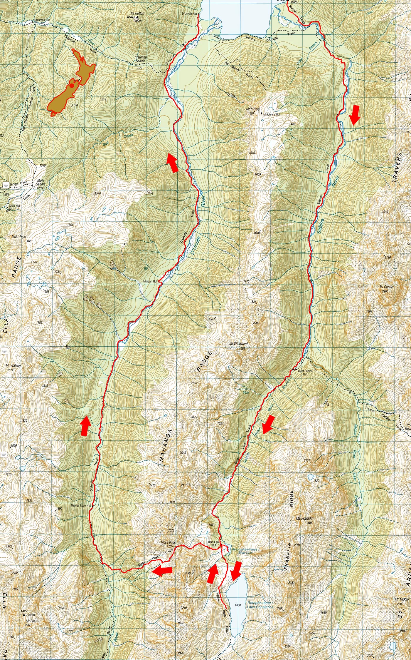
Blue Lake, Moss Pass, November 2025
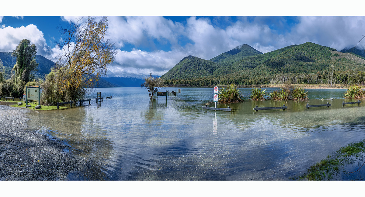
The view south along Lake Rotoroa from the camp site (464m). Recent heavy rain has raised the lake level above the jetty, left of centre

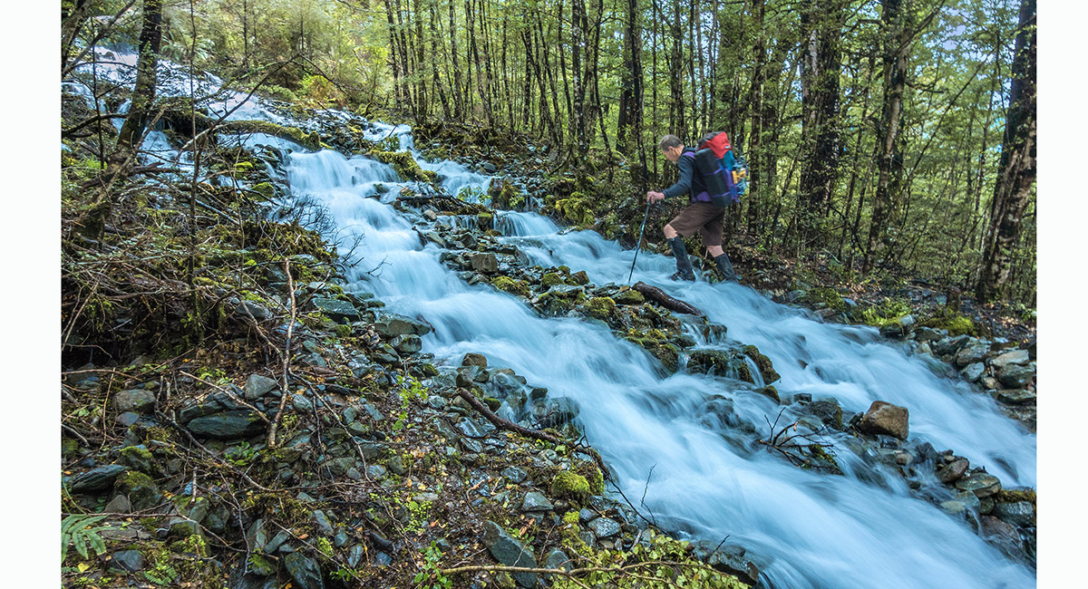
The section of track between Sabine Hut (the water taxi drop-off point) and West Sabine Hut was significantly storm damaged, with frequent sometimes large tree fall

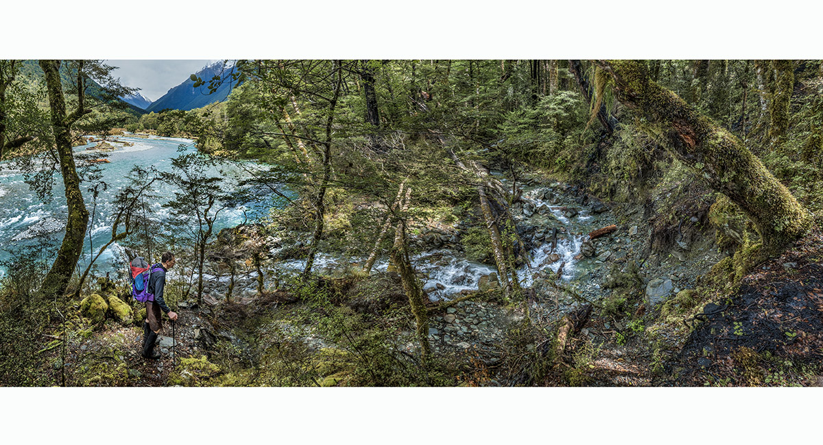
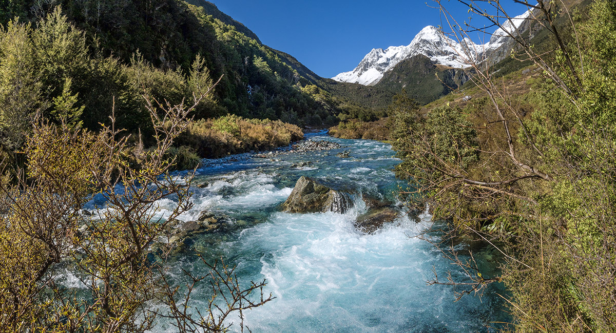
Looking south up Sabine River, north of West Sabine Hut

Tributary streams were also up

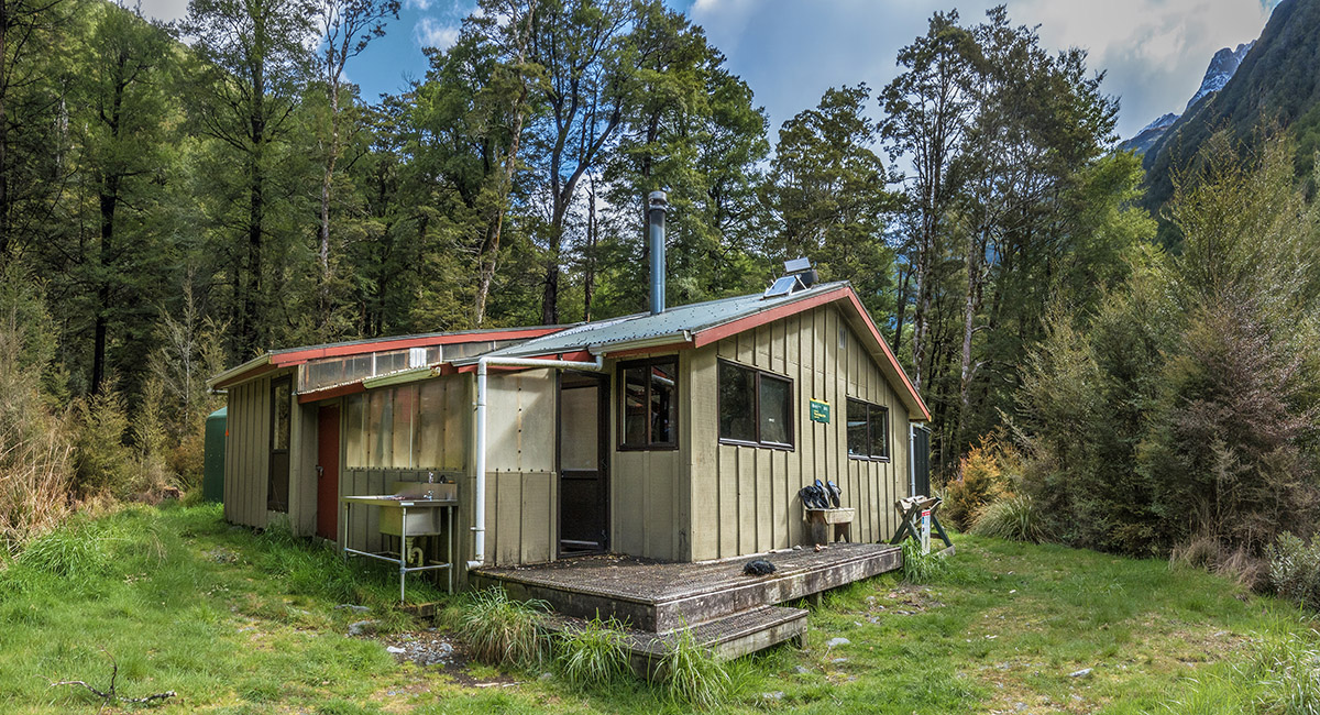
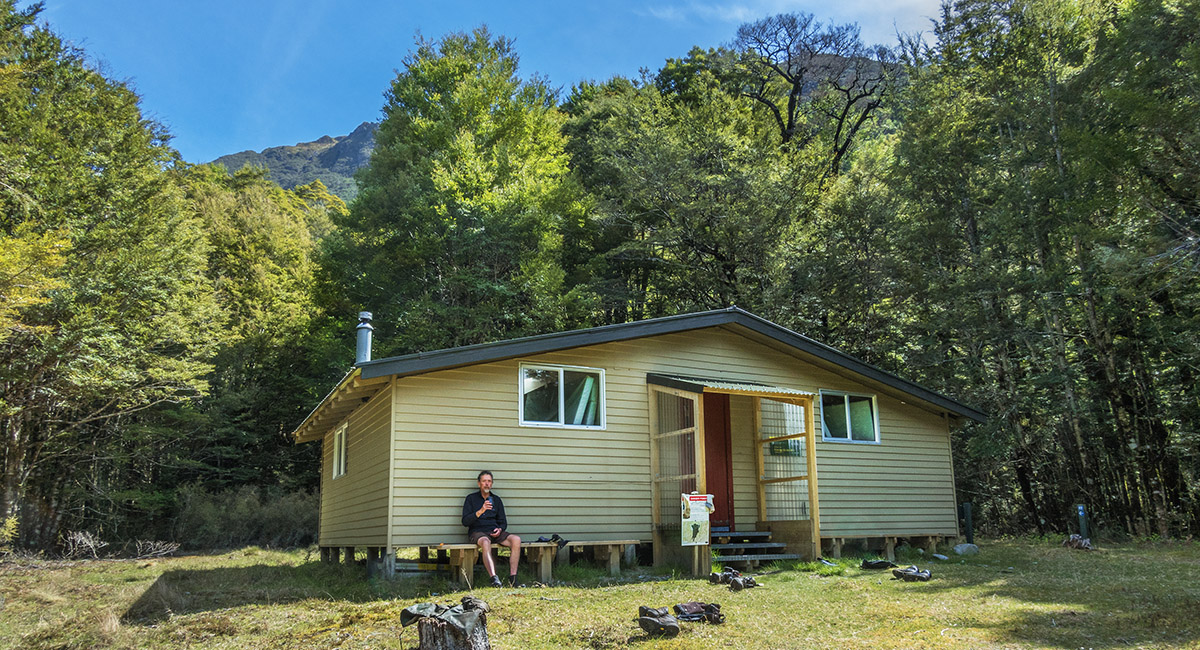
West Sabine Hut (670m)

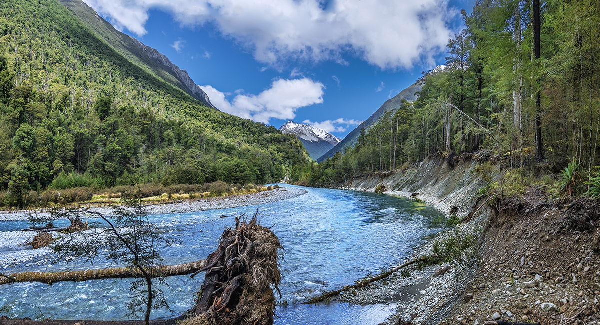
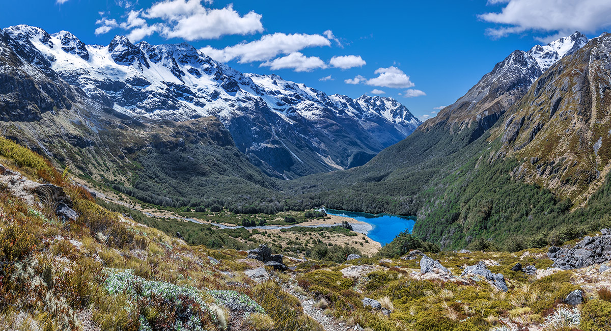
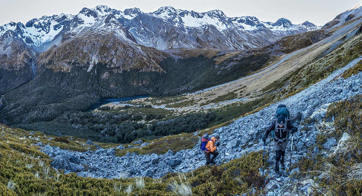
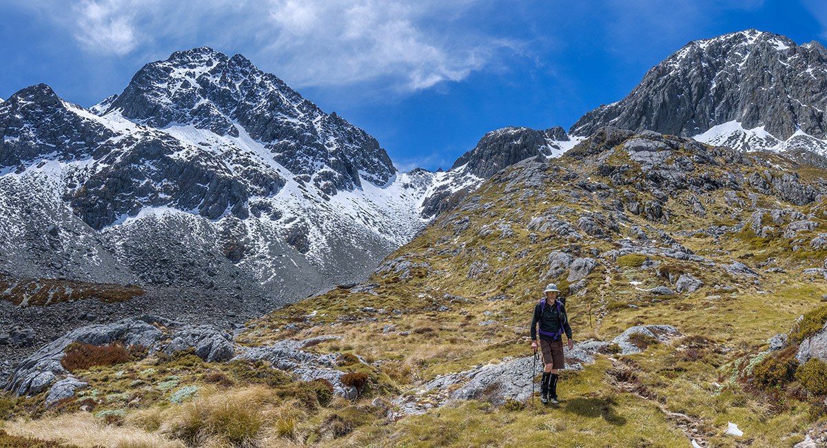
The track south of West Sabine Hut up to Blue Lake Hut was less damaged, making for much quicker travel. Ahead is Mt Franklin

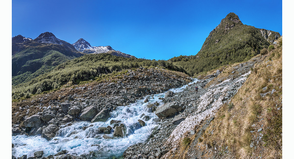
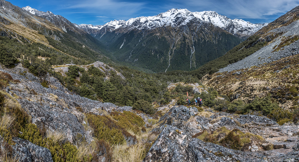
The track steepens as it nears Blue Lake, opening out to reveal some beautiful terrain

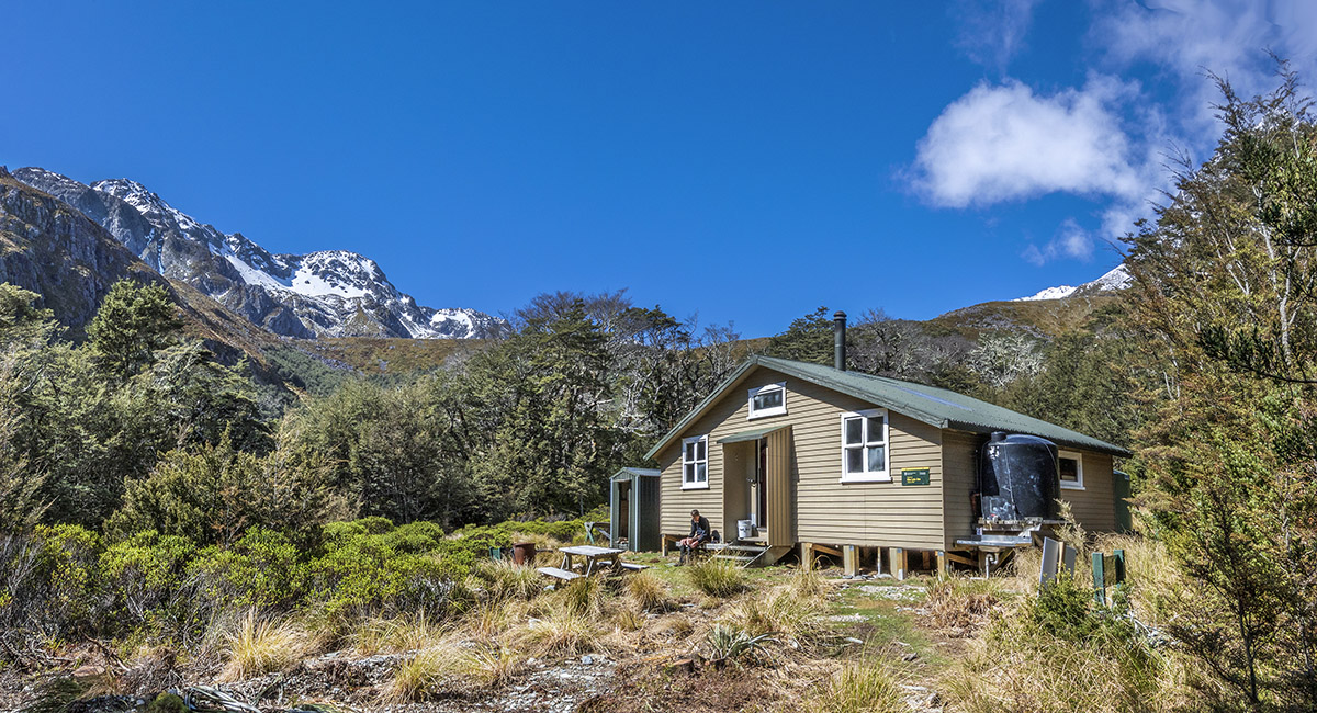
Blue Lake Hut (1,190m)

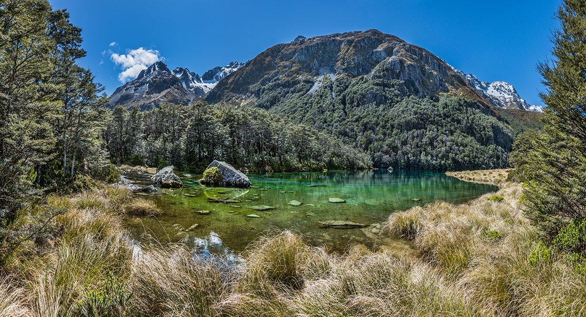
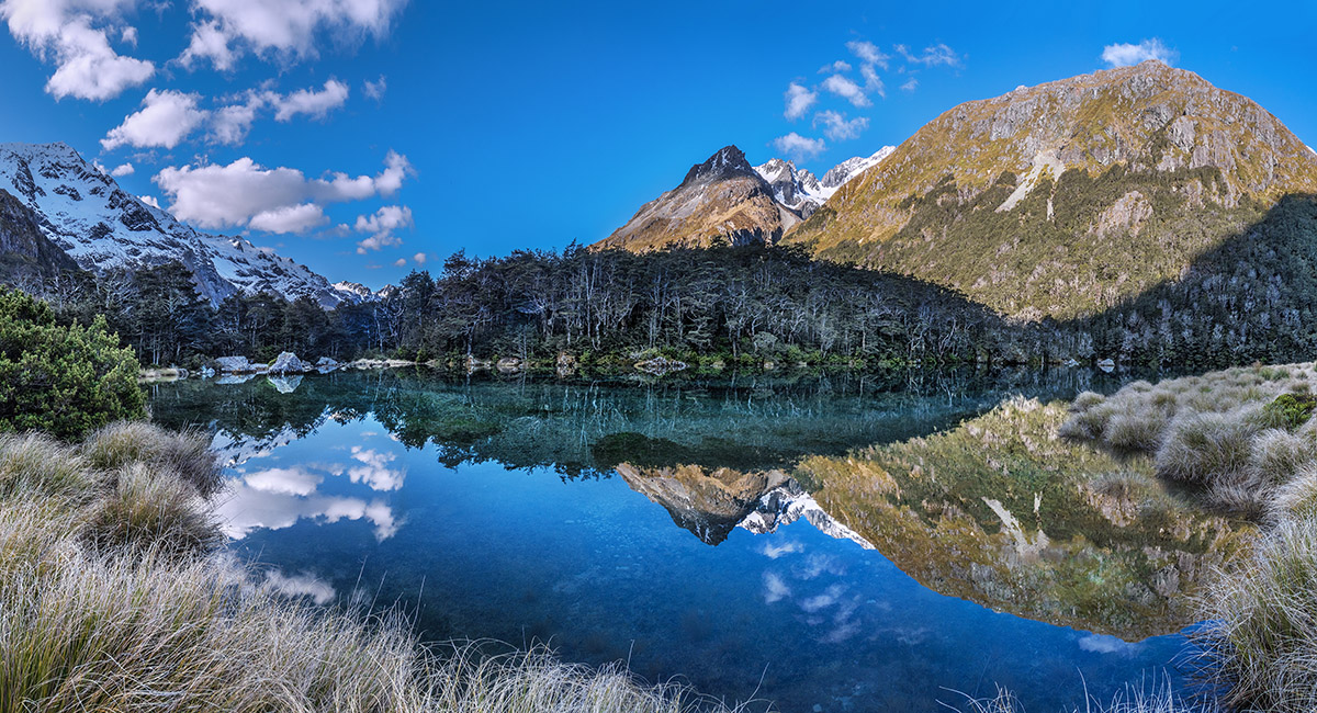
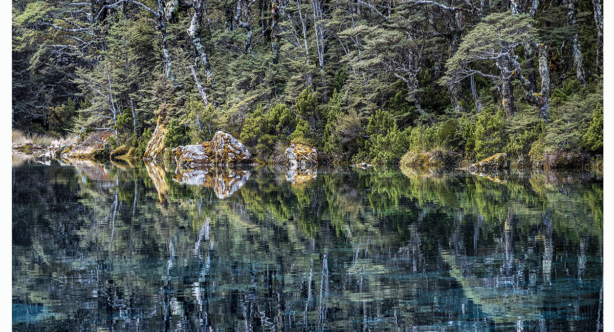
Rotomairewhenua/Blue Lake


The crystal clear water lived up to the reputation, doubling as a mirror on this calm day

Rotomairewhenua/Blue Lake

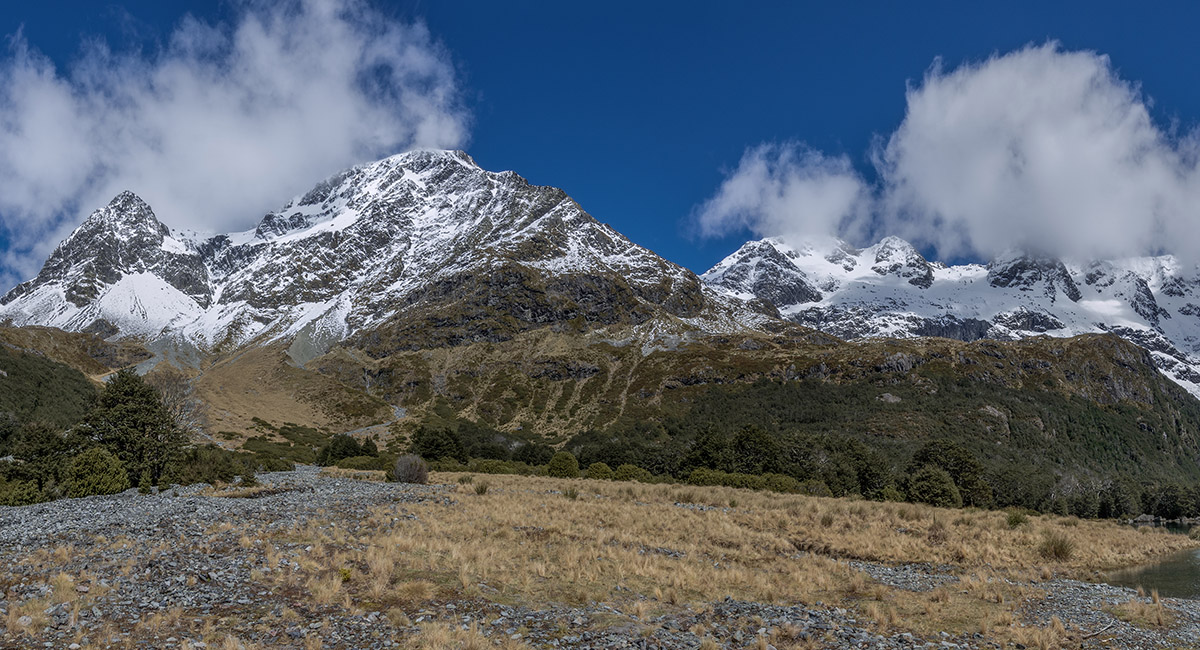
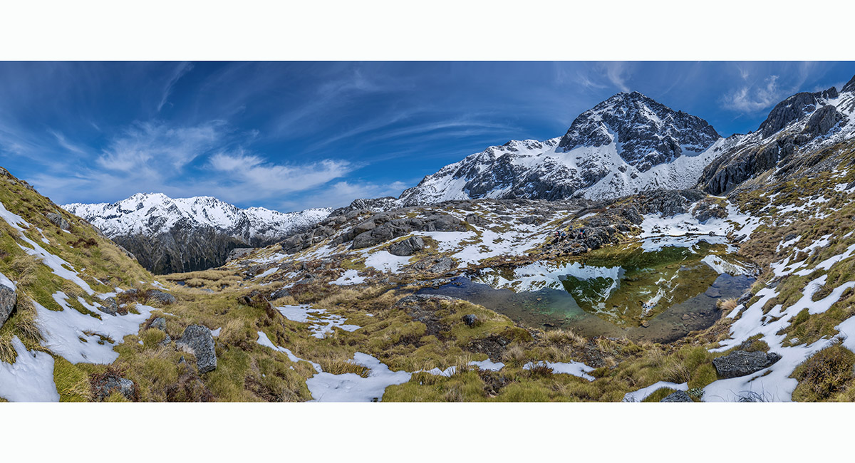
The view west from Rotomairewhenua/Blue Lake to Moss Pass (1,785m, centre)

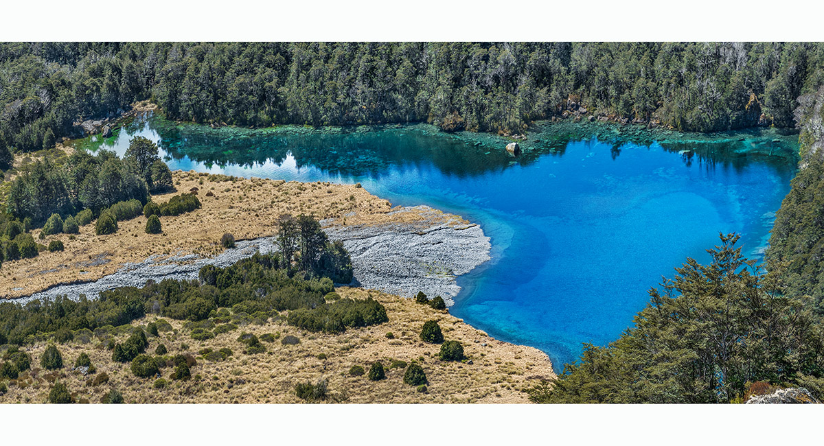
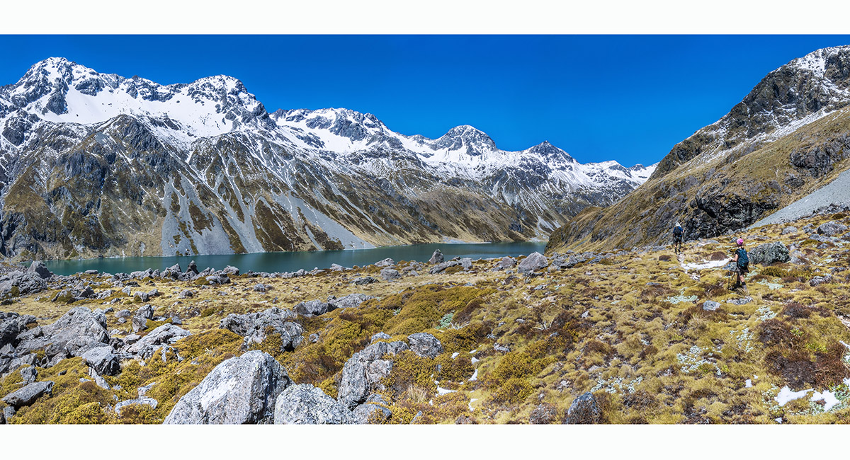
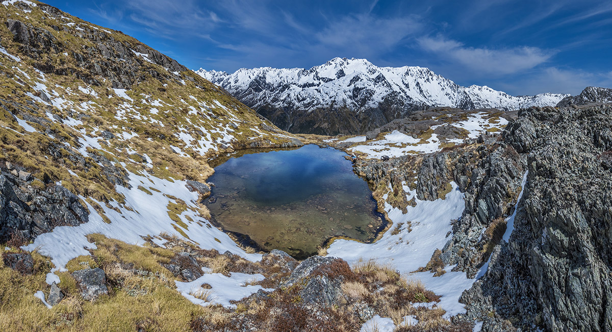
A view of Rotomairewhenua/Blue Lake from the south at about 1,300m

A view of Rotomairewhenua/Blue Lake from the south at about 1,300m. Mahanga Range is top left with Moss Pass out of picture

Cresting the moraine at the northern end of Rotopohueroa/Lake Constance (1,338m). This 140m high moraine is what filters the water feeding Rotomairewhenua/Blue Lake


A view from a 1,440m knoll halfway along the western shore of Rotopohueroa/Lake Constance. Franklin Ridge looms up on the eastern side

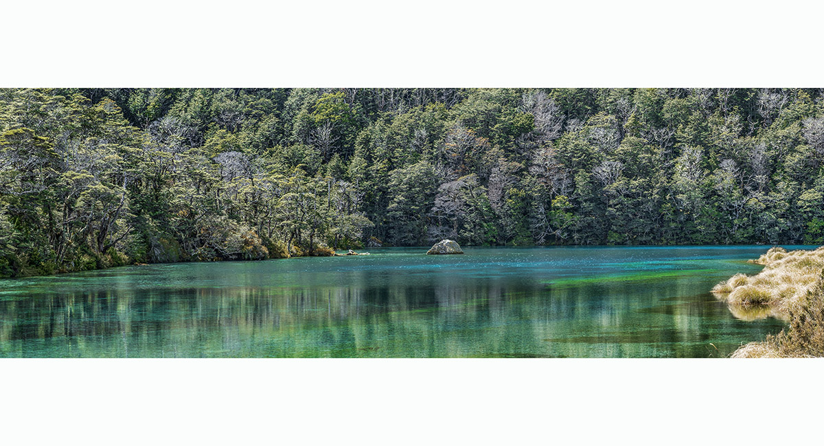
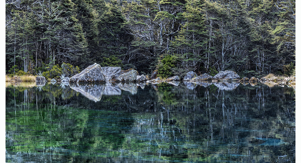
A view from the western shore of Rotomairewhenua/Blue Lake, looking north


A view from the western shore of Rotomairewhenua/Blue Lake, looking north

Late afternoon mirror magic on Rotomairewhenua/Blue Lake

Late afternoon mirror magic on Rotomairewhenua/Blue Lake


Late afternoon mirror magic on Rotomairewhenua/Blue Lake

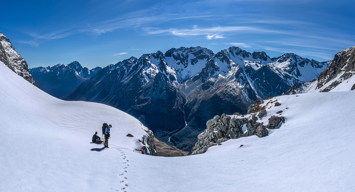
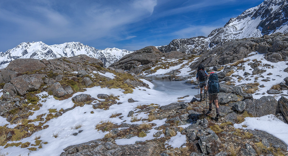
At about 1,300m on the ascent to Moss Pass. Rotomairewhenua/Blue Lake is behind

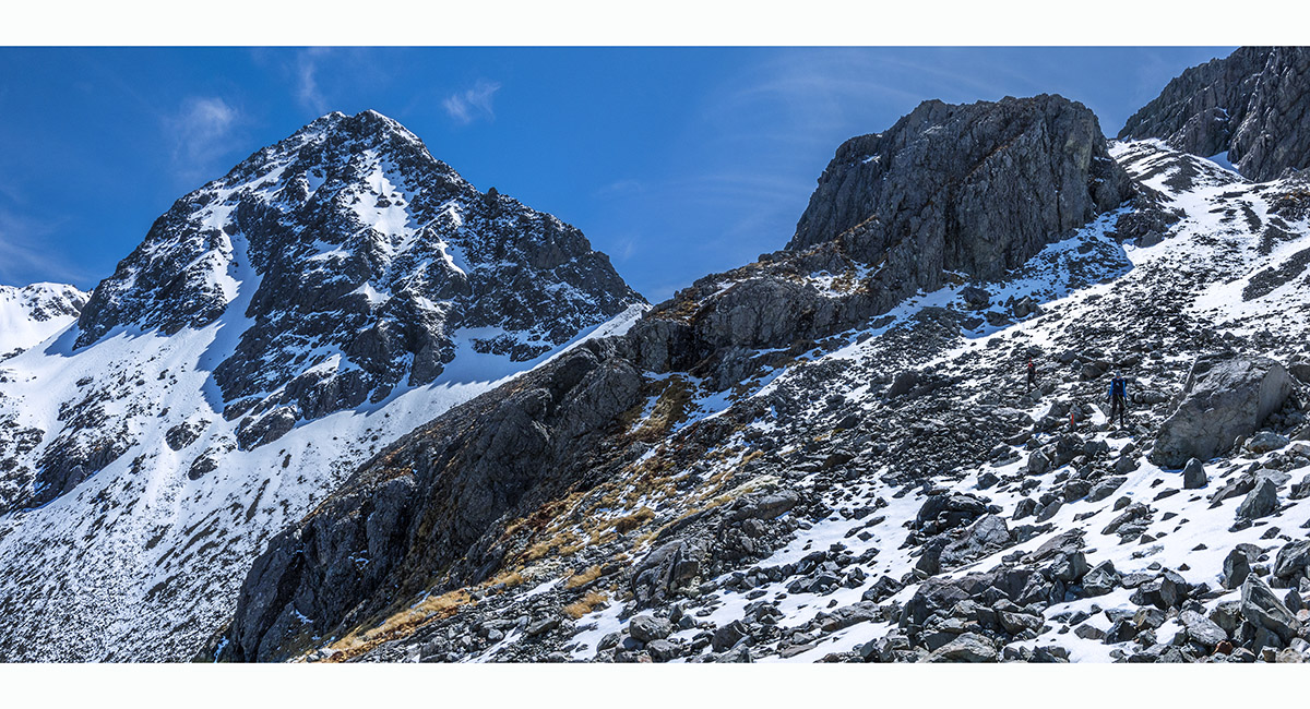
At about 1,450m on the ascent to Moss Pass. Pt1409 is behind, at centre

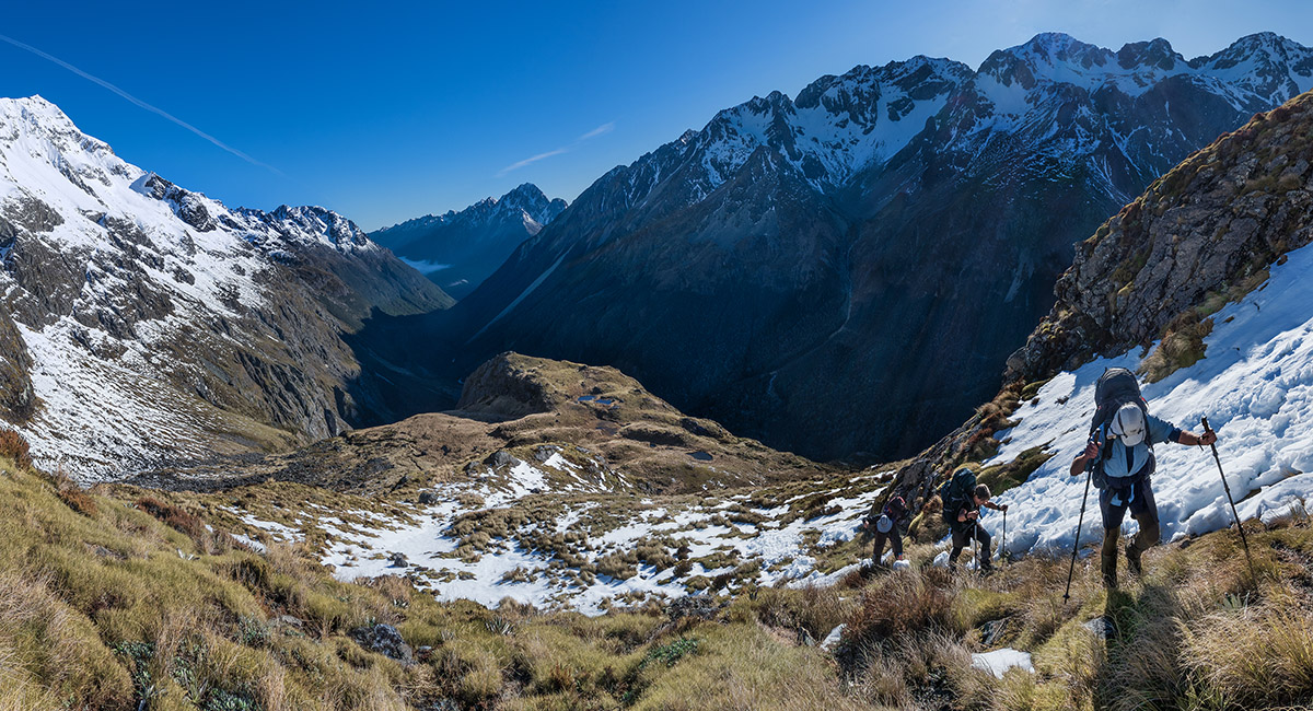
Approaching 1,600m, with the chute leading to Moss Pass stretching diagonally up left

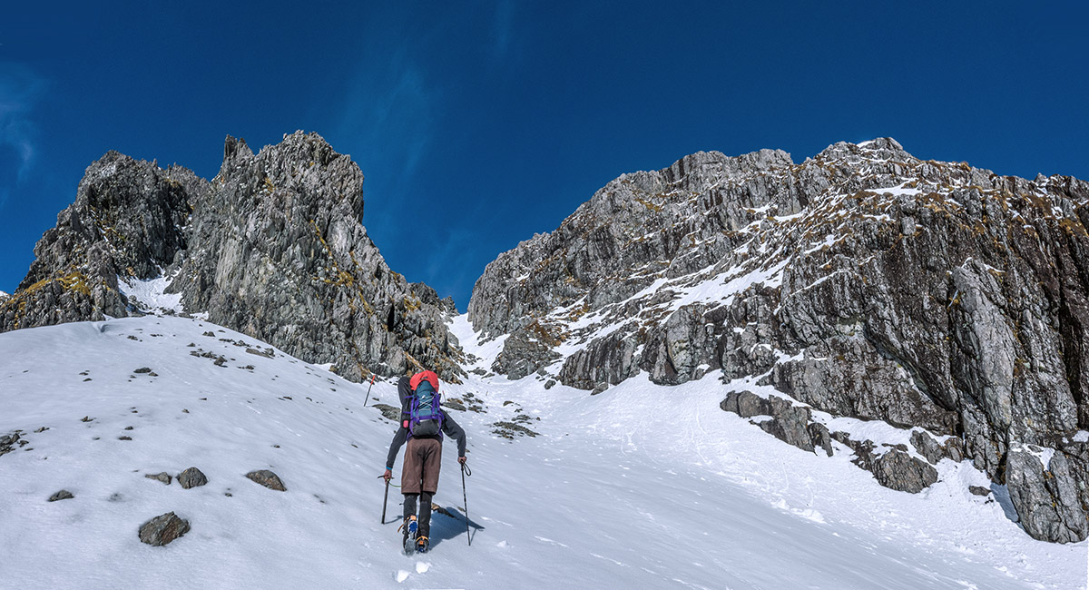
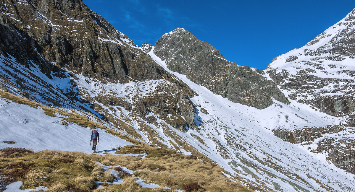
At about 1,600m, below the chute

In the chute

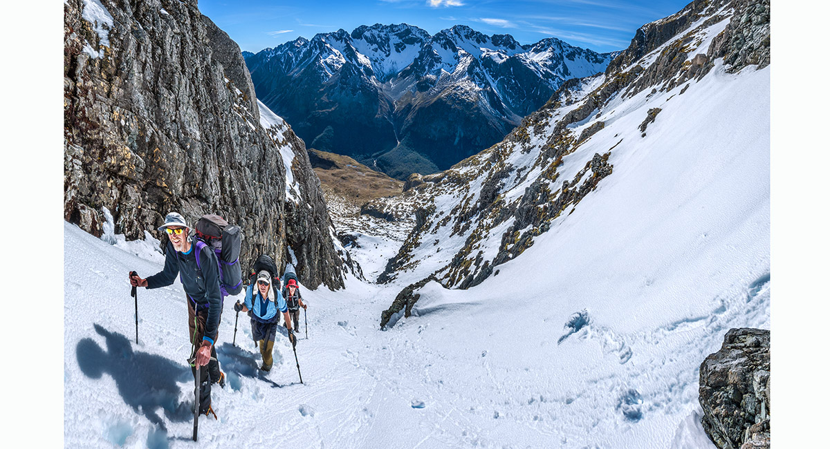
At the top of the chute (1,760m), looking east to the Franklin Range

A view from Moss Pass (1,785m), looking west to the Ella Range. Mt Ella (2,263m) is the highest point, right of centre

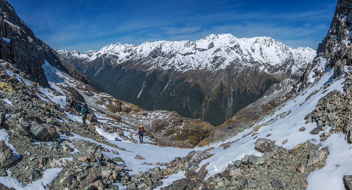
Looking northeast, back to Moss Pass from about 1,650m, on the descent to D'Urville River

A lovely tarn at 1,600m, before the descent route steepens up before bush line

Another view of the 1,600m tarn, with the Ella Range left/west and Mahanga Range right/north. Moss Pass is far right

Nearing the northern edge of the 1,600m shelf

Below the 1,600m shelf, looking back, east to Moss Pass centre

A view southwest to the head of the D'Urville, from about 1,500m on the descent

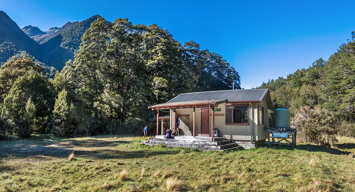
George Lyon (Ella) Hut (670m)


A view south up D'Urville River between George Lyon Hut and Morgan Hut. The storm damage was not as severe in the D'Urville as it was in the Sabine

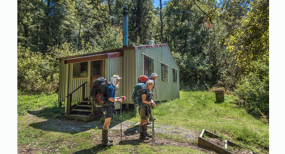
Morgan Hut (550m)

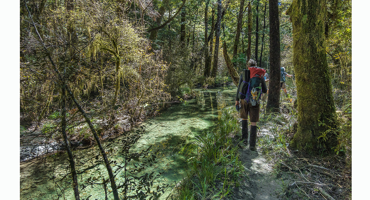
In the forest just south of D'Urville Hut

D'Urville Hut (450m)


A view east over Lake Rotoroa, from the still just submerged jetty at D'Urville Hut

Read about it Captivating Photography Feb/Mar 26
To order a print or web resolution file of any image you see in this slide show, just right click the image, click “Copy Image URL” and paste in to the “Your message” box of our Contact Us form. Please also note, for each image, if you want a print or web resolution file. We will get back to you as soon as possible to confirm price and payment details. Open Contact Us in a new window to paste Image URL(s) easily