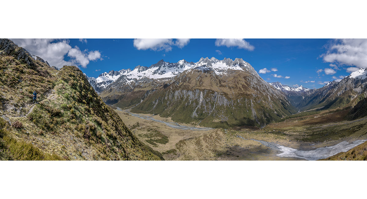
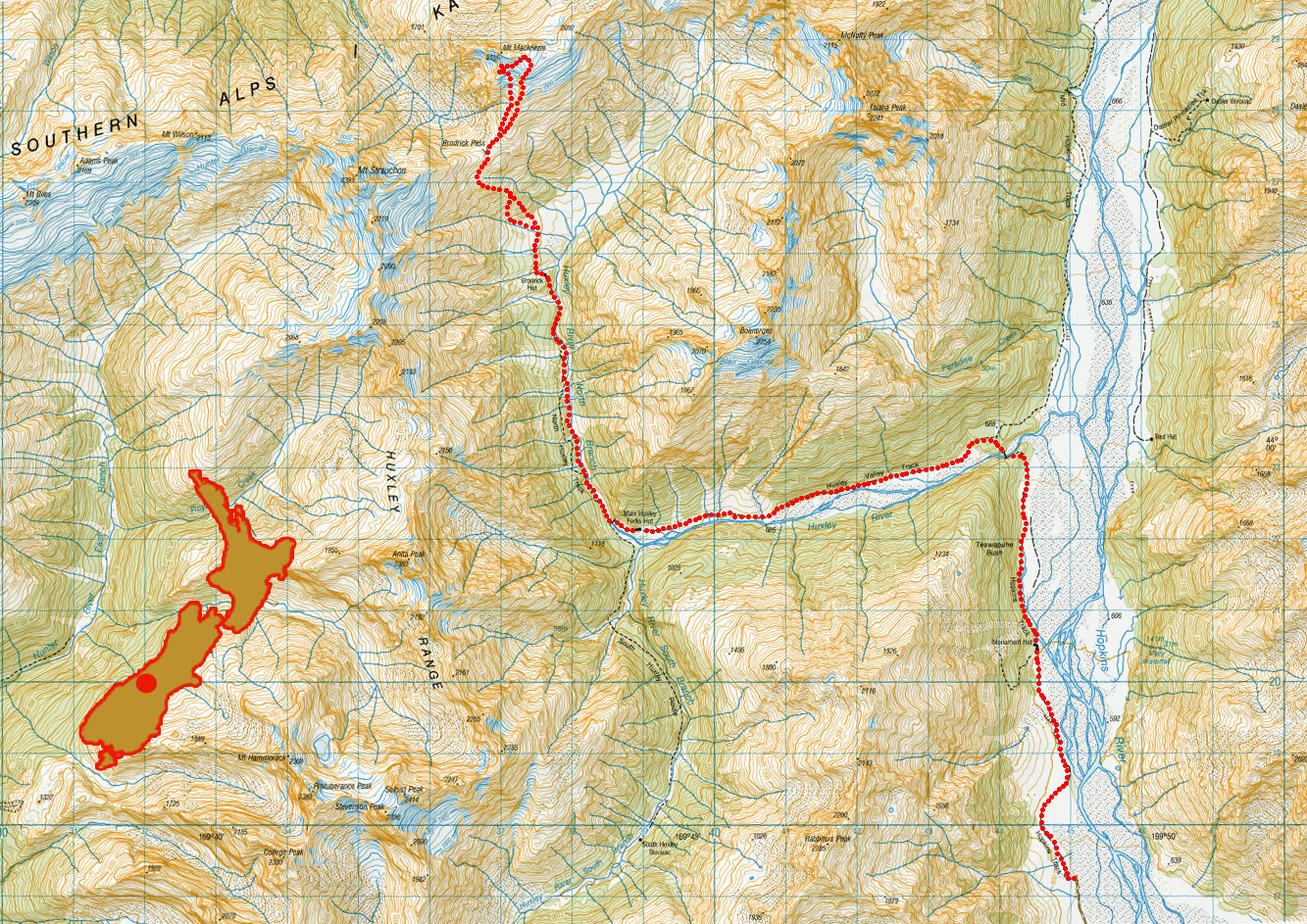
Brodrick Pass, November 2021

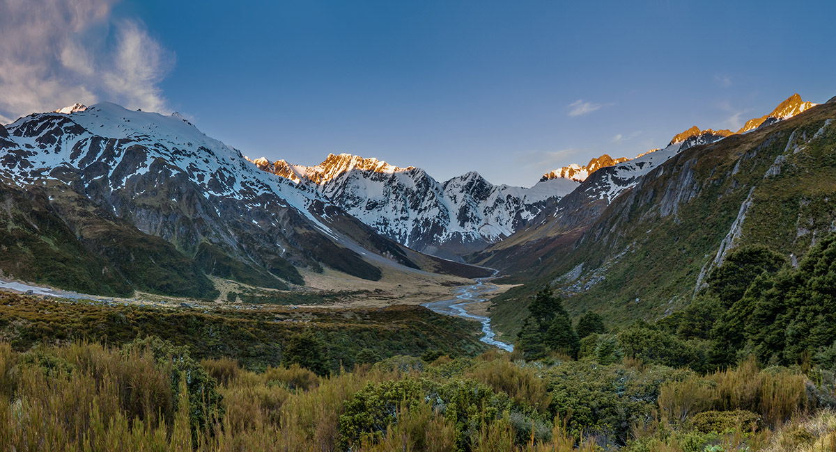
Looking north up Hopkins River, the Naumann Range right, Mt Ward distant centre

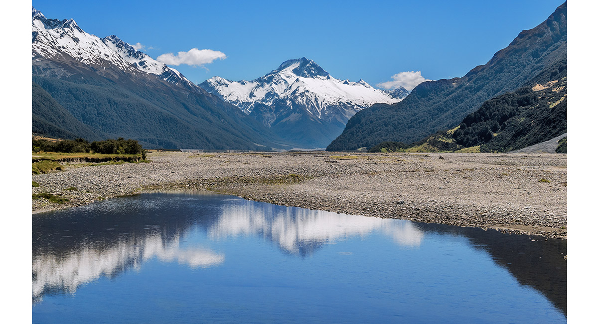
Looking north up Hopkins River to Mount Ward

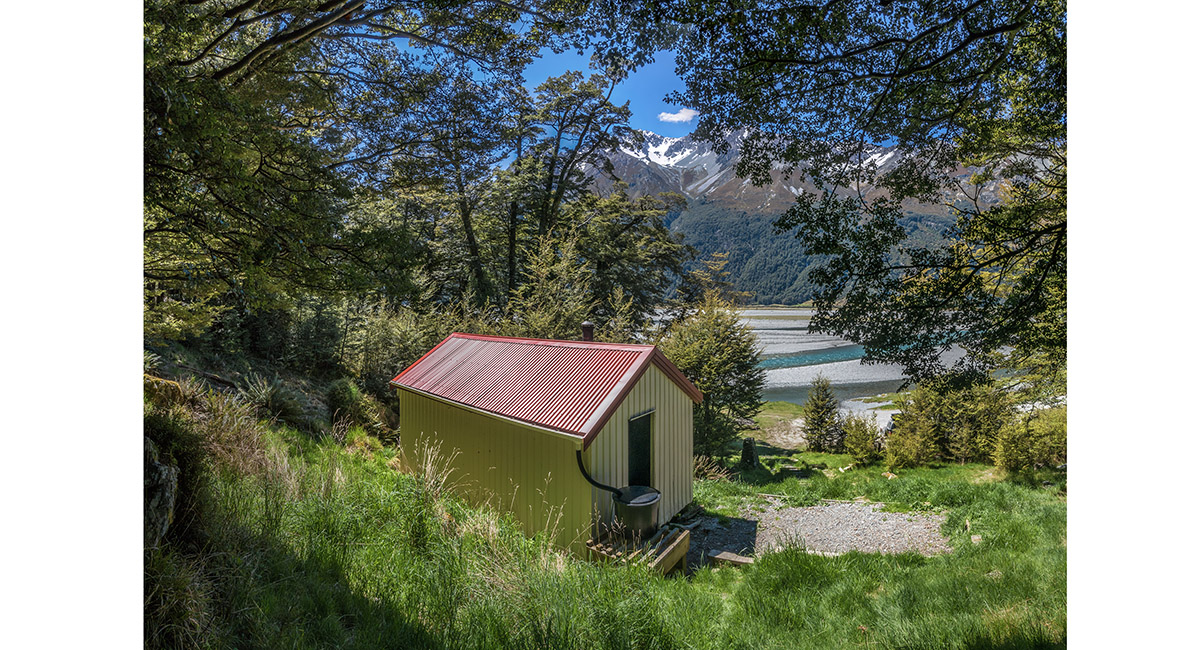
Monument Hut (600m)

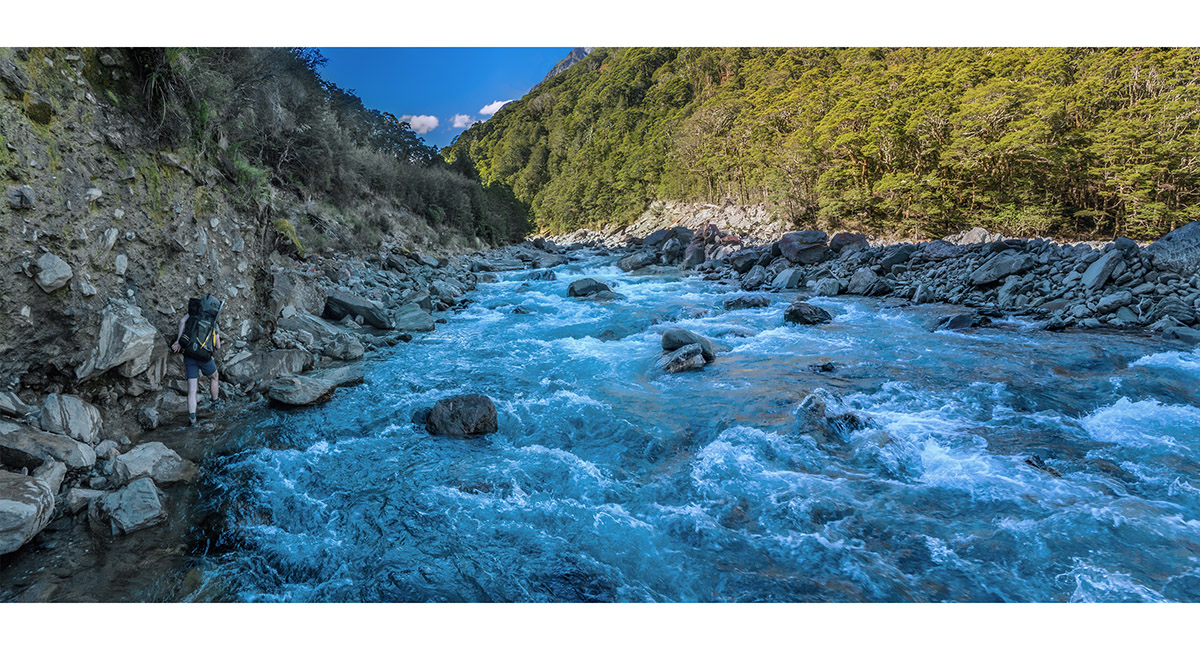
In the Hopkins River bed north of Monument Hut

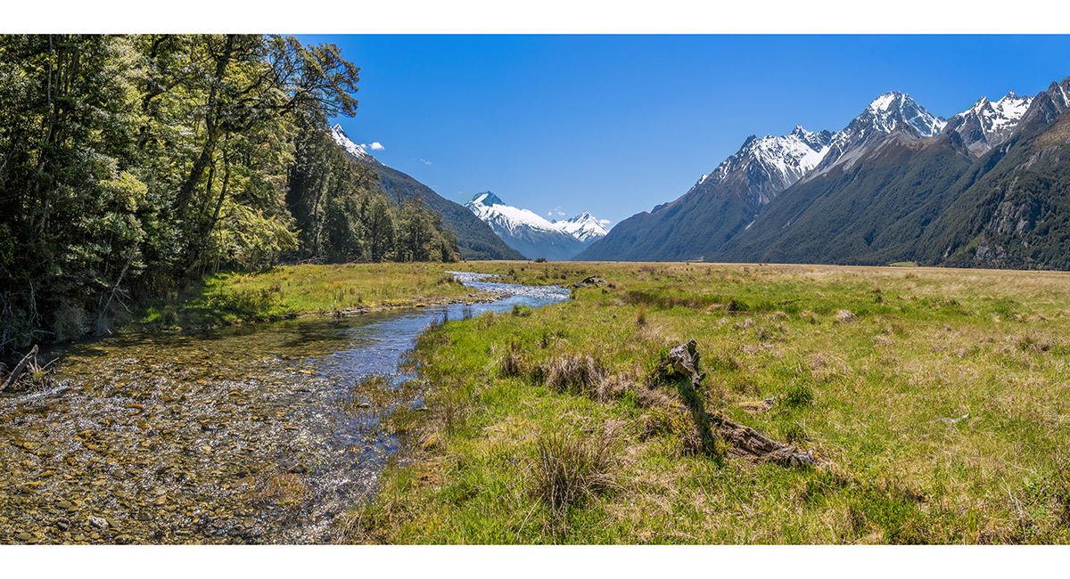
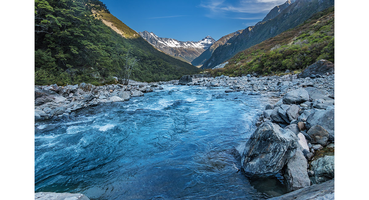
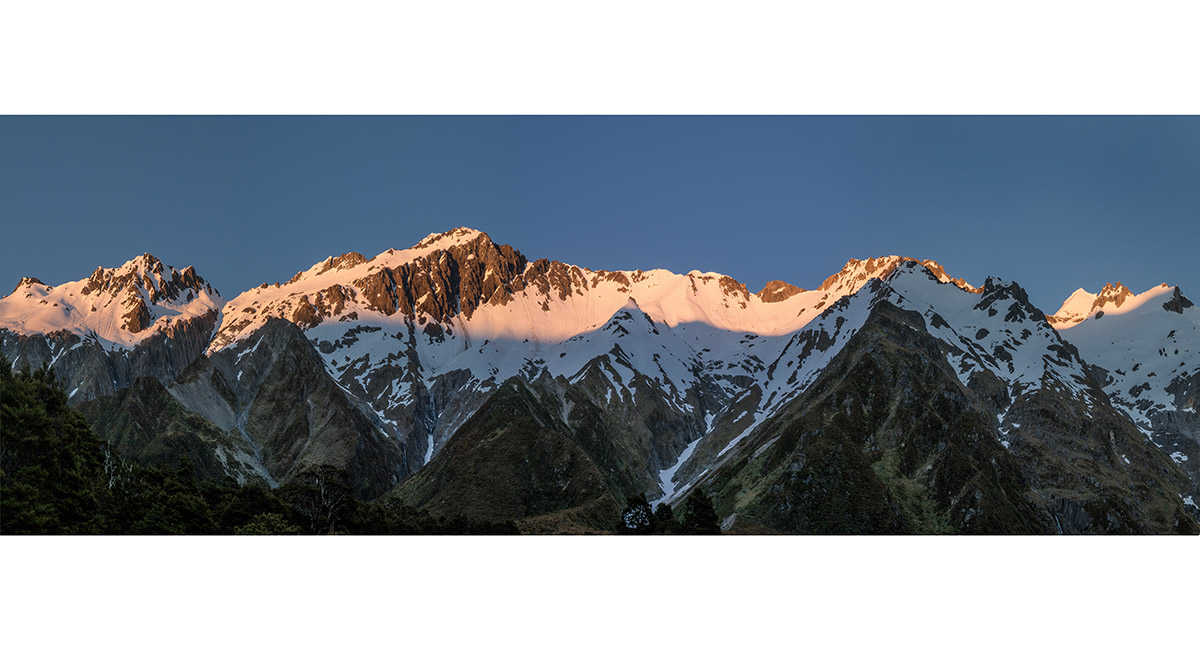
Looking west up Huxley River. Anita Peak (2,380m) centre

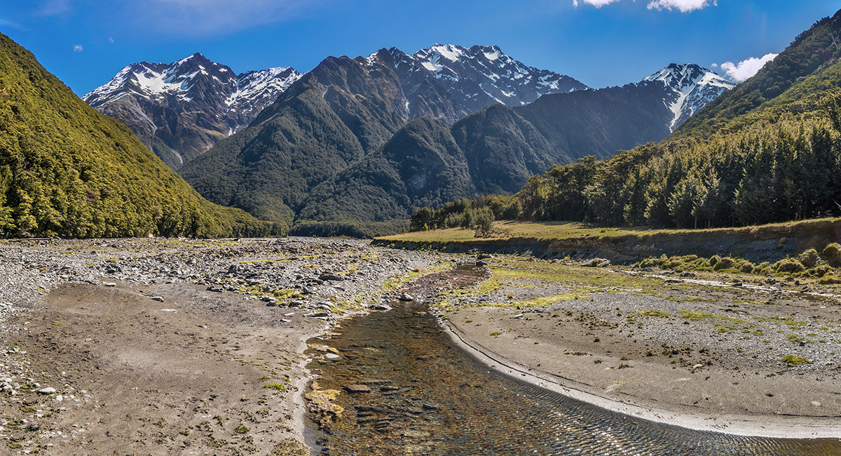
Looking west up Huxley River


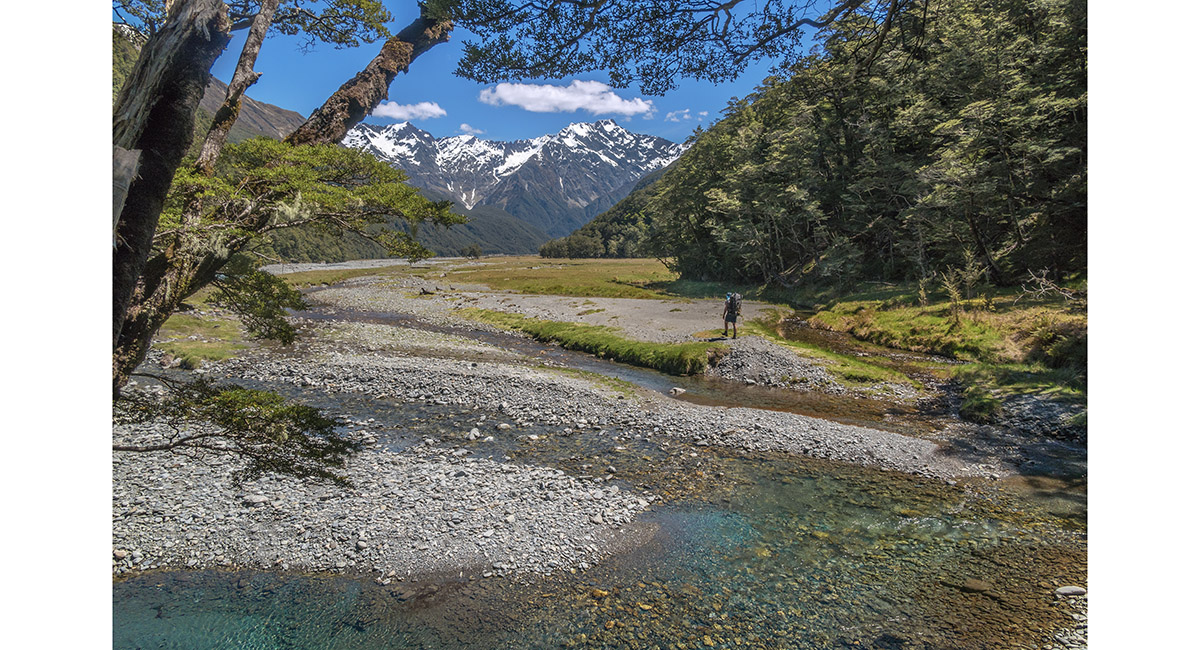
Looking west up Huxley River, nearing Main Huxley Forks Huts

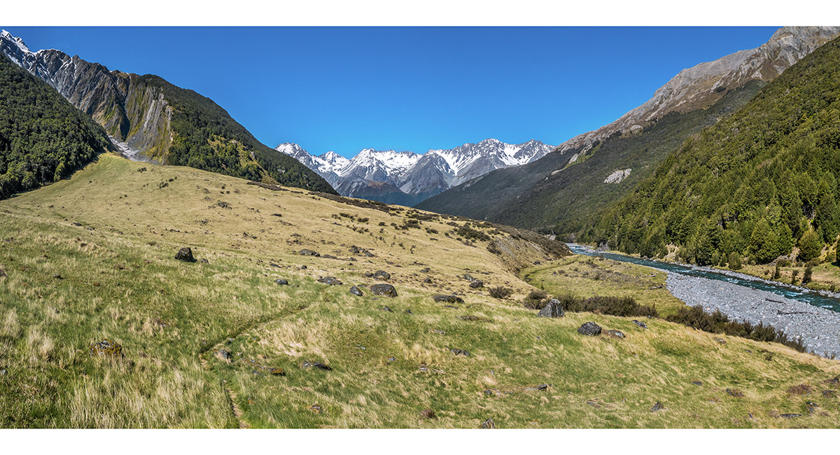
Looking east back down Huxley River to the Naumann Range, from near Main Huxley Forks Huts

Looking west up Huxley River, nearing Main Huxley Forks Huts


Main Huxley Forks Huts (730m)

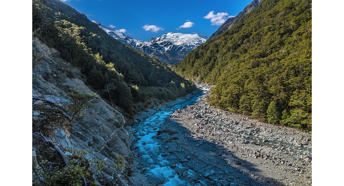
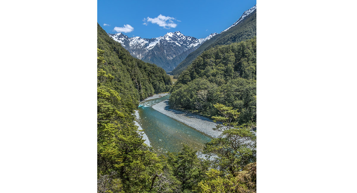
Looking north up Huxley River North Branch

Looking north up Huxley River North Branch


Looking north up Huxley River North Branch

Looking south down Huxley River North Branch

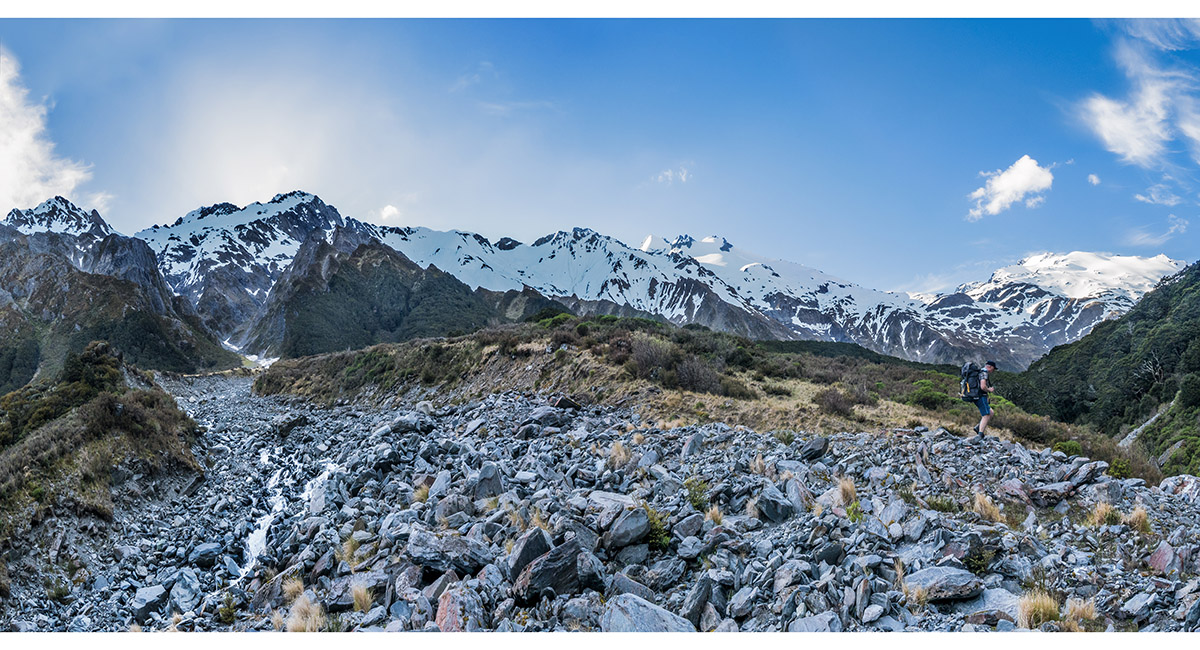
Departing Huxley River North Branch to climb to Brodrick Hut. Brodrick Pass is in the dip far right


Brodrick Hut (1,000m)

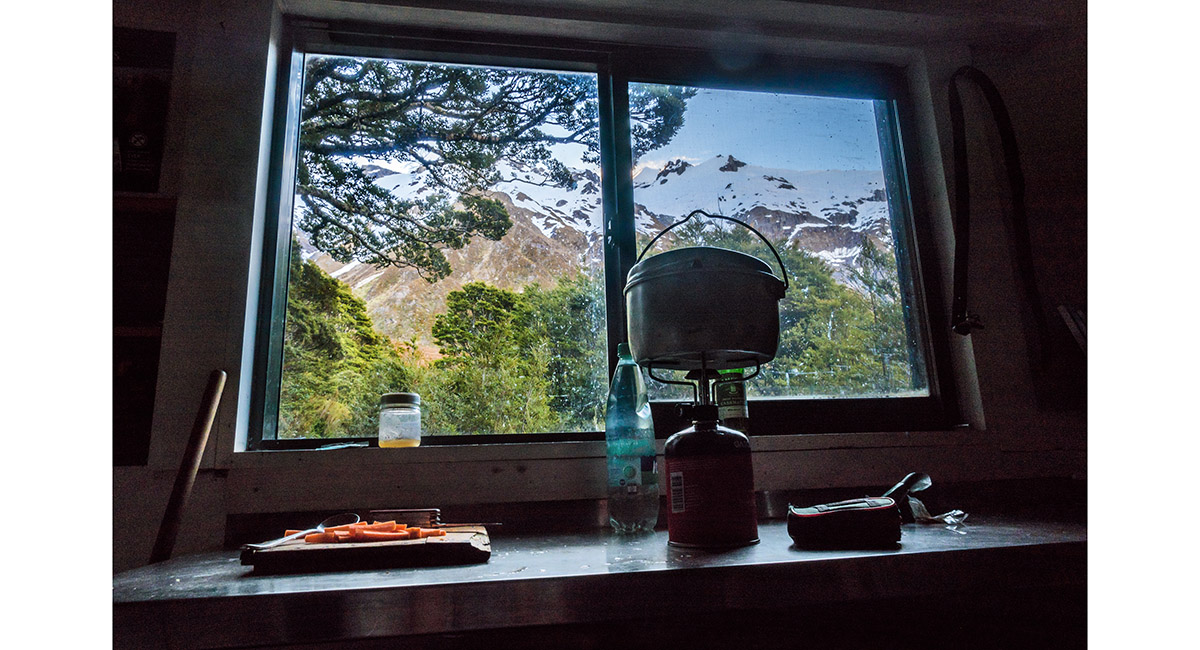
View from 6 bunk Brodrick Hut


Dusk view of Brodrick Hut

Dusk view to the head of Huxley River North Branch from the helipad near Brodrick Hut

Sunset on the Huxley Range


Climbing a steep stream gut, after we failed to locate the beginning of the poled route through dense scrub to Brodrick Pass


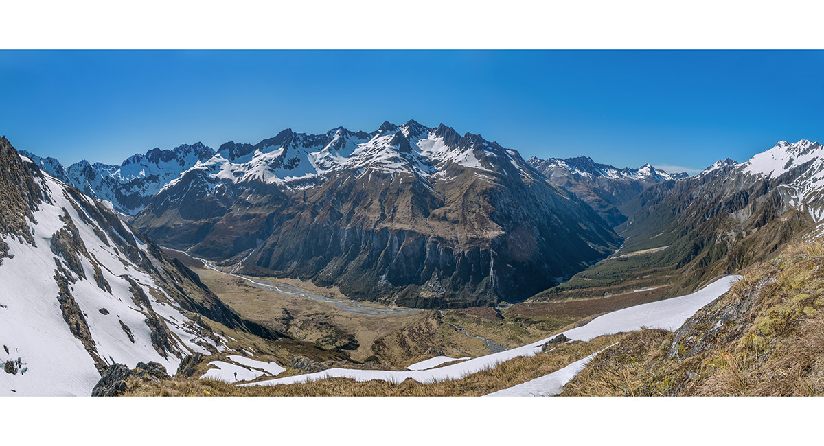
From about 1,200m, looking back down the gut over Brodrick Hut to Huxley valley

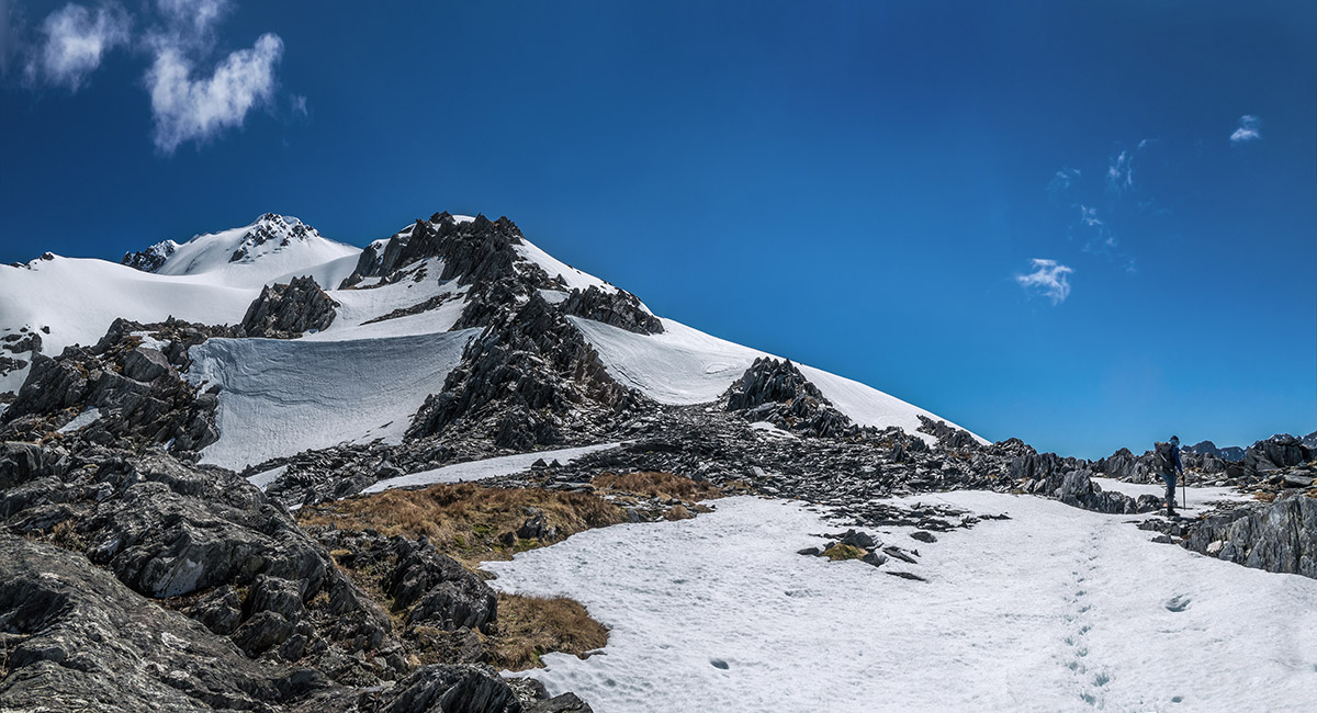
Now on the poled route at about 1,300m, looking south with Boanerges (2,254m) and other peaks centre

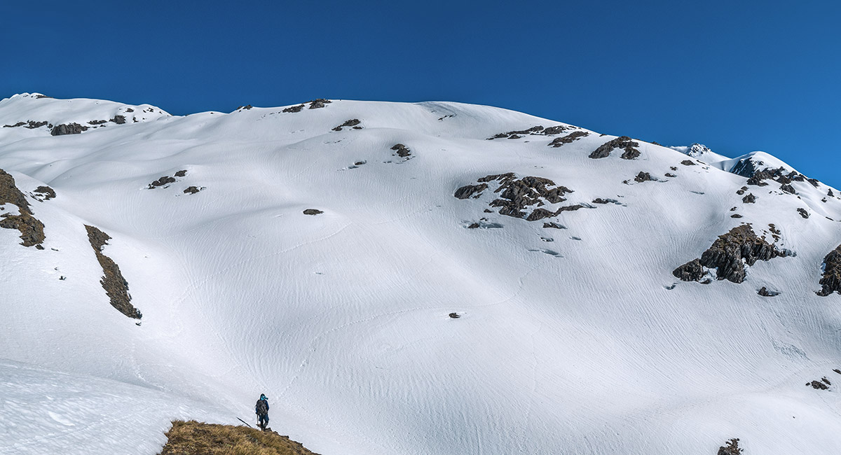
The snow fields below Brodrick Pass

At about 1,550m, en route to Brodrick Pass, with Mt Strauchon (2,391m) behind


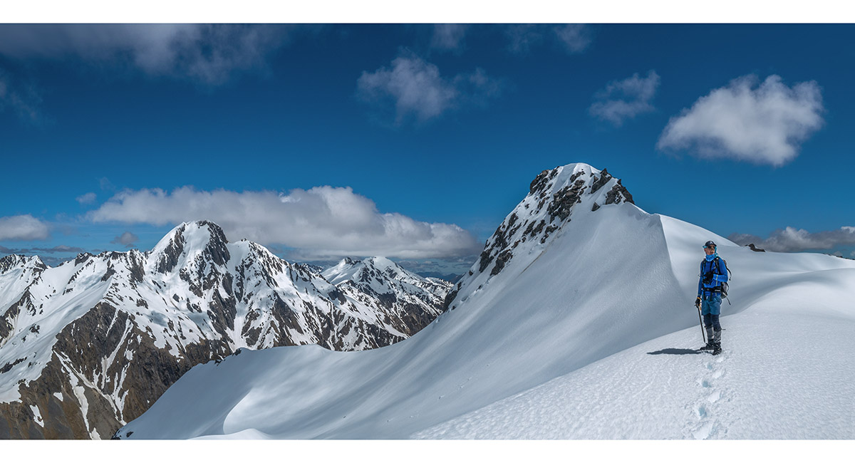
On Brodrick Pass (1,640m), with Mt Strauchon (2,391m) left and Mt Mackenzie (2,156m) right

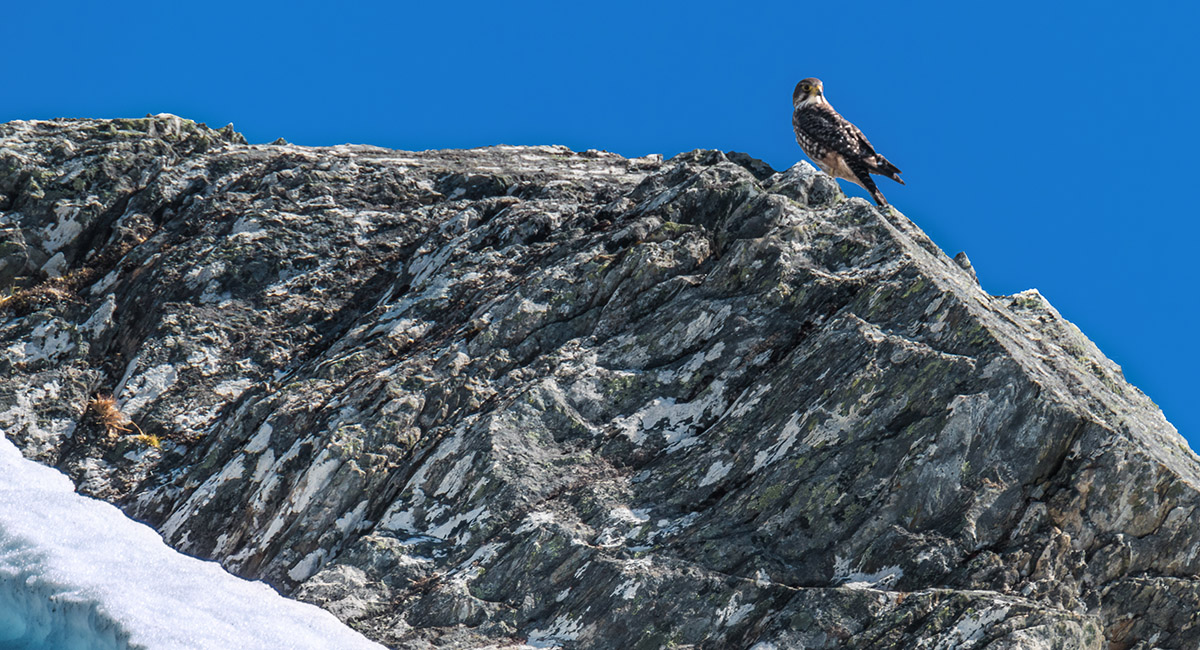
A native falcon / kārearea checks us out at about 1,800m, beneath Mt Mackenzie

At about 1,800m, heading towards Mt Mackenzie


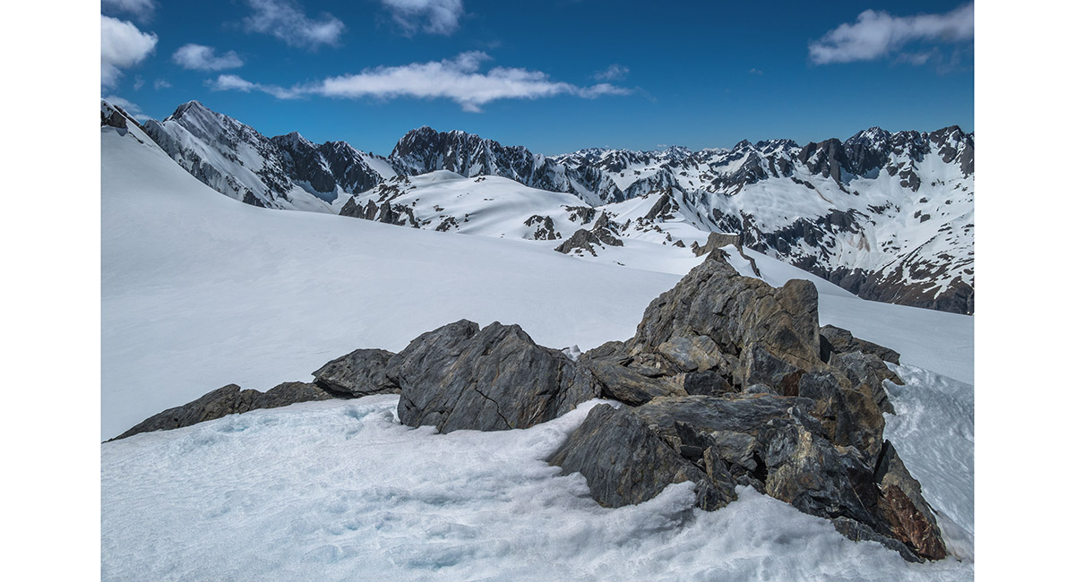
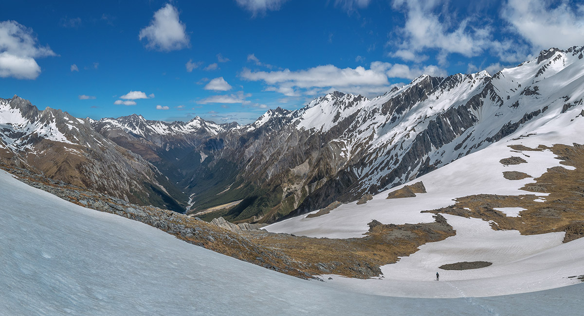
Looking south from about 1,900m

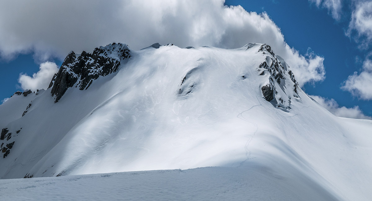
The snow field at 2,050m on the east side of Mt Mackenzie, looking north east to Mt Fraser (2,277m) and other peaks

At 2,100m with Mt Mackenzie behind. We had a look at the east side but decided against climbing it due to fresh avalanche debris. Instead we traversed beneath the peak to try the south face

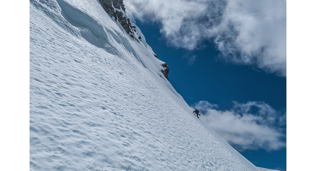
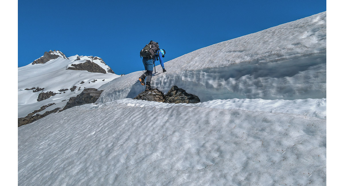
Shaun Barnett traversing the south face

A view of the south face of Mt Mackenzie. We climbed to about 2,100m before turning back due to the hard frozen surface


A view below the south face of Mt Mackenzie, at about 2,000m, with Mt Strauchon far right

Looking back down to Brodrick Pass from about 1,850m


Alpine flowers near Brodrick Pass


A view back to Brodrick Hut, lower left, on our descent

Now on the poled route, which was much easier to locate on the descent, at about 1,200m, looking south with Boanerges (2,254m) and other peaks centre


Dawn view east to the Naumann Range, from Main Huxley Forks Huts

Read about it High above the Huxley Wilderness Magazine May 2023
To order a print or web resolution file of any image you see in this slide show, just right click the image, click “Copy Image URL” and paste in to the “Your message” box of our Contact Us form. Please also note, for each image, if you want a print or web resolution file. We will get back to you as soon as possible to confirm price and payment details.
Open Contact Us in a new window to paste Image URL(s) easily