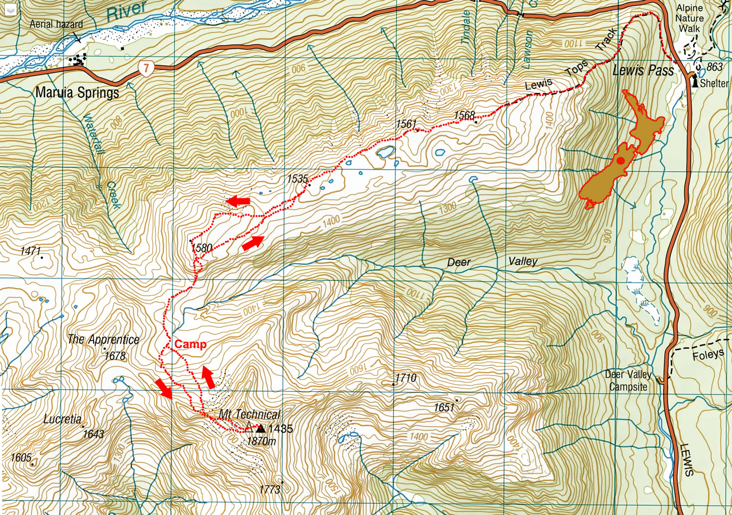
Mt Technical, October 2025
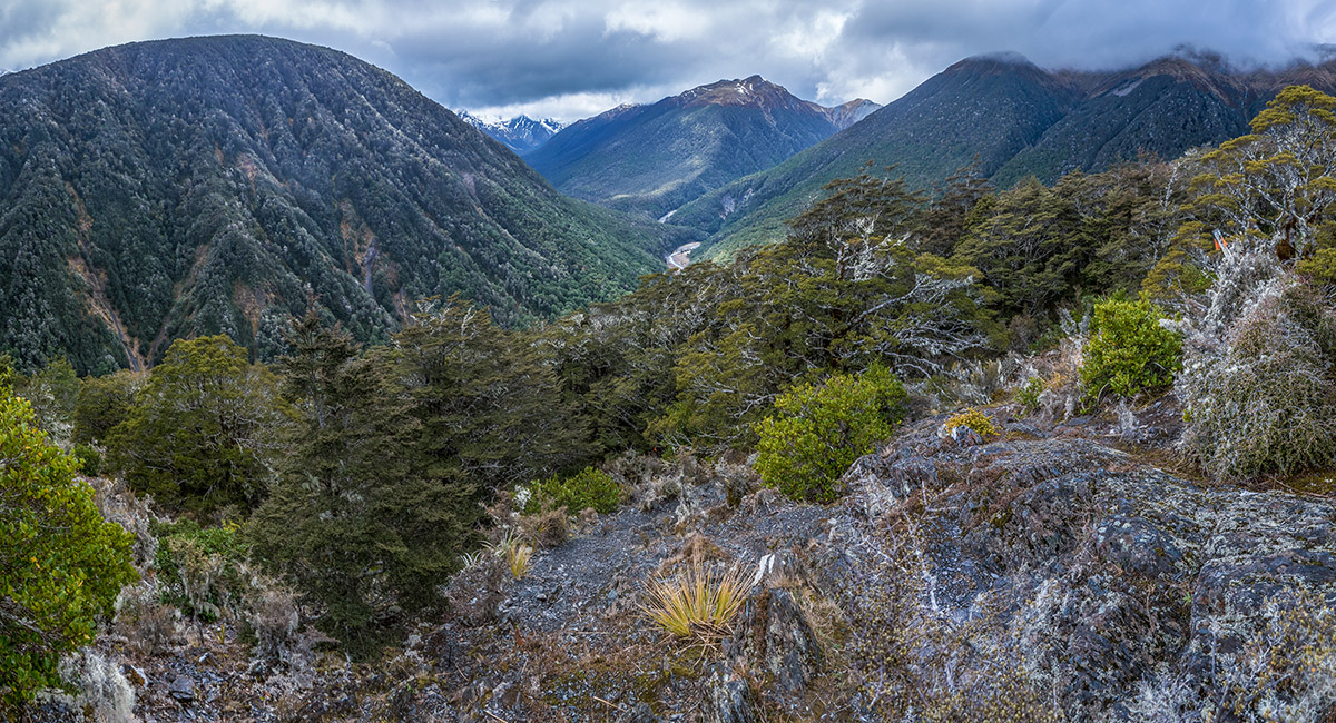
View northeast from about 1,000m on the Lewis Tops Track

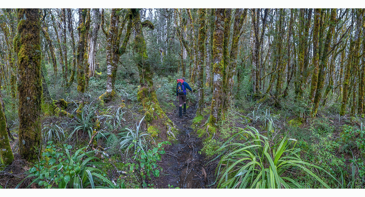
In beech forest at about 1,100m on the Lewis Tops Track

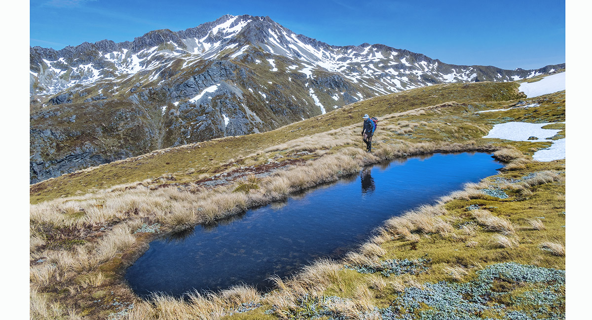
View northeast from about 1,350m on the Lewis Tops Track


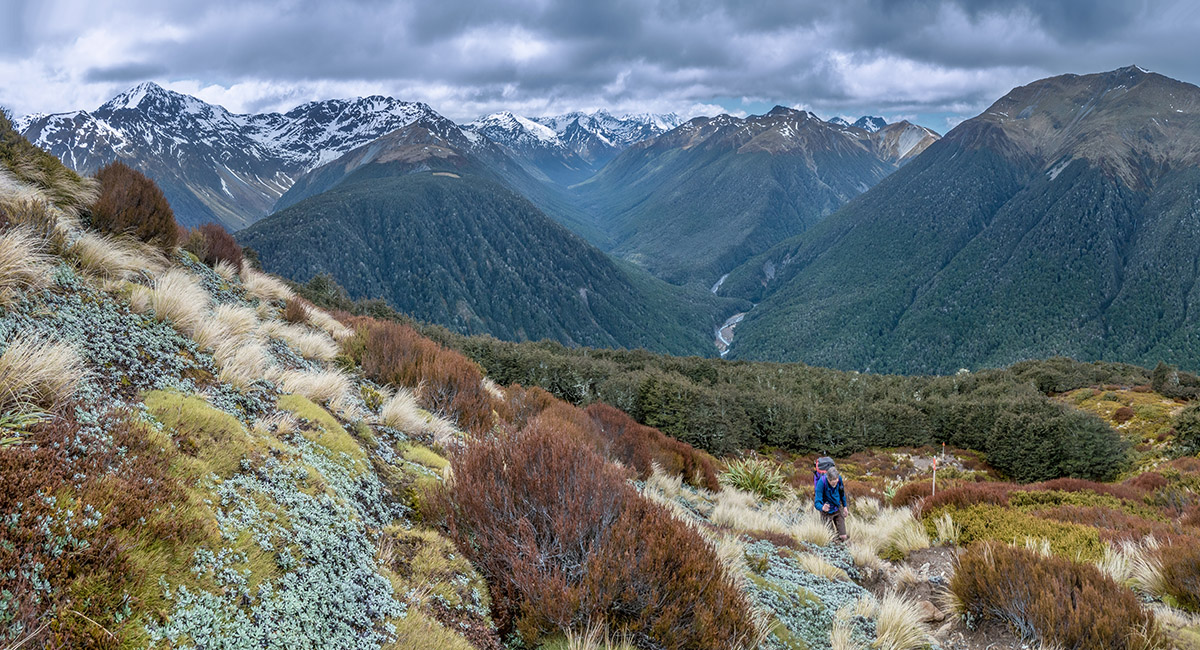
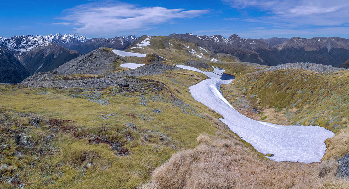
A view east along the Lewis Tops Track from 1,520m


Our camp site at 1,480m, looking northeast to Pt1580 (left)

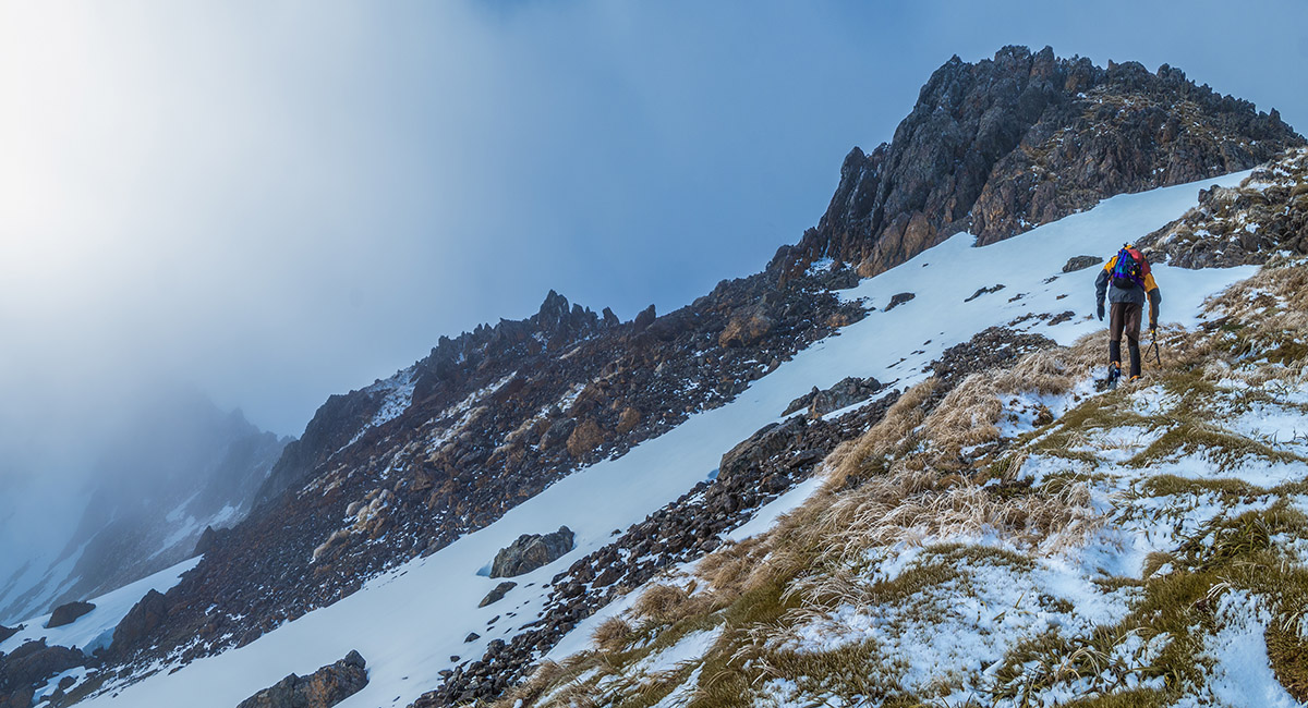
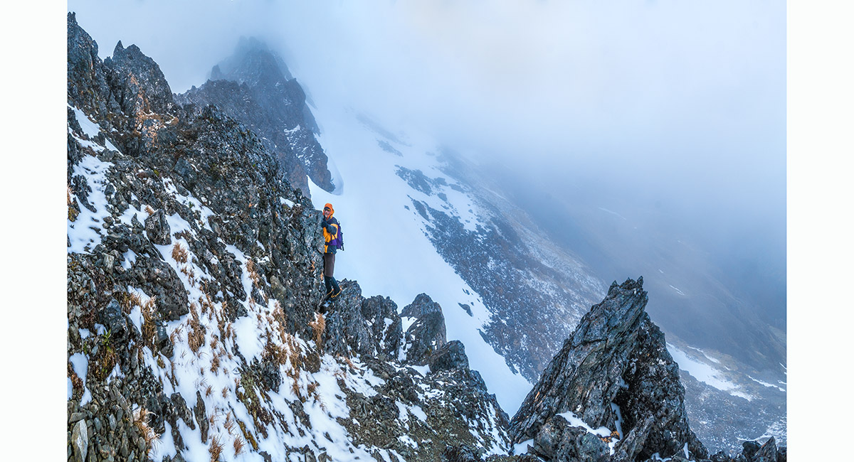
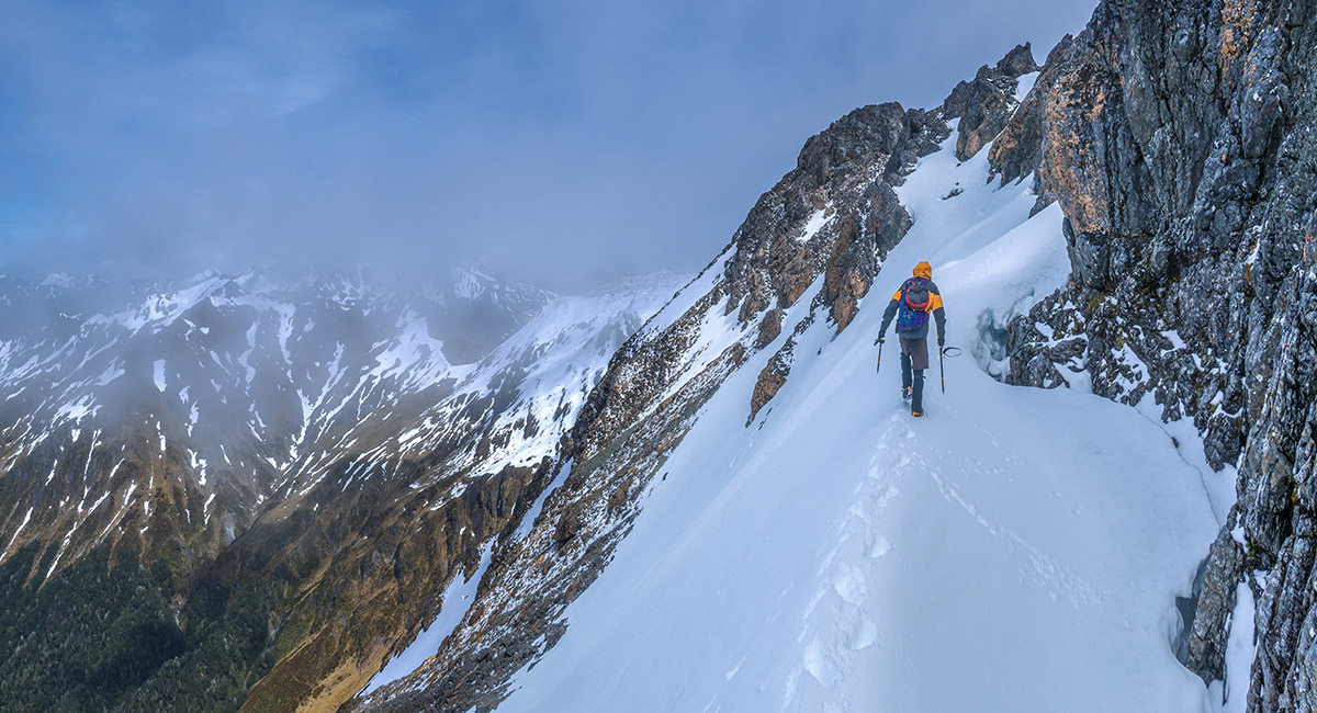
Climbing the northwest face, nearing the west ridge crossing point at 1,700m

Looking east along the southwest face, just after crossing the west ridge

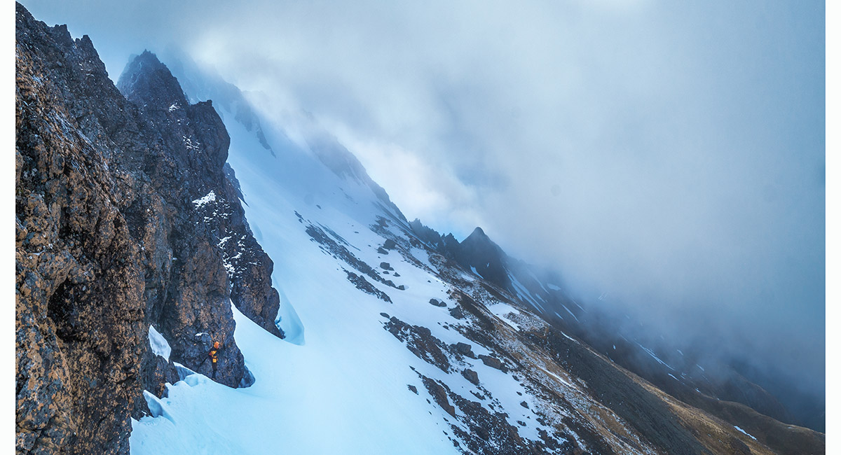
Looking east along the southwest face, at about 1,700m. The summit is in cloud top left


At about 1,750m, climbing hard frozen snow beneath the summit on the southwest face. Lucretia Stream behind


At about 1,750m, climbing hard frozen snow beneath the summit on the southwest face

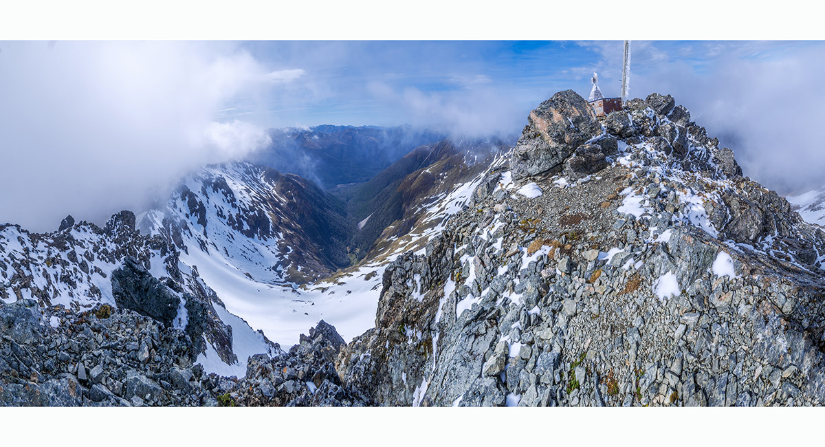
A view from just west of the summit trig (1,870m), looking east down Basin Creek

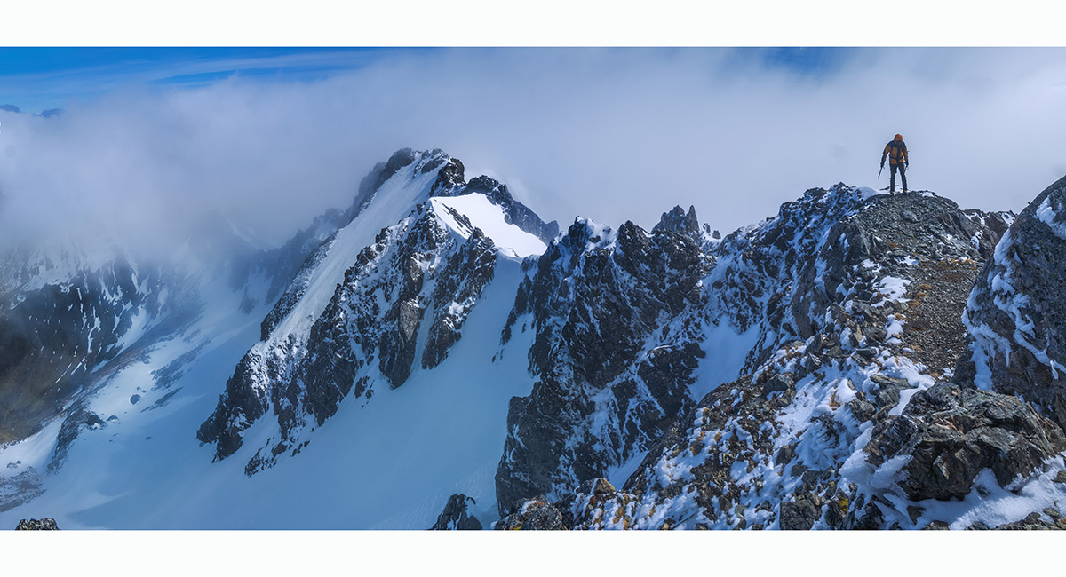
A view from the summit, looking along the west ridge


Departing the summit, looking along the west ridge

Approaching the west ridge crossing point on our descent

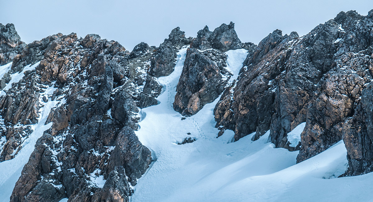
The west ridge crossing point at centre, viewed from the south

A view north from the west ridge crossing point. Our camp site is just out of view centre left and Freyberg Range is in the distance


Back at our camp site with the weather finally clearing. The west ridge stretches left from centre to the summit of Mt Technical

A campsite view east with Pt1580 at left

Retracing our steps along the Lewis Tops Track, here at about 1,520m with Mt Technical behind

A view east along the Lewis Tops Track. Gloriana Peak (2,218m) and Faerie Queene (2,236m) are on the left skyline

A view west along the Lewis Tops Track, with Maruia River valley at right, The Apprentice (1,678m) centre and Mt Technical (1,870m) left, with Mt Mueller (1,630m) at the western end of Freyberg Range at right

Retracing our steps along the Lewis Tops Track, here at about 1,500m with Mt Technical behind


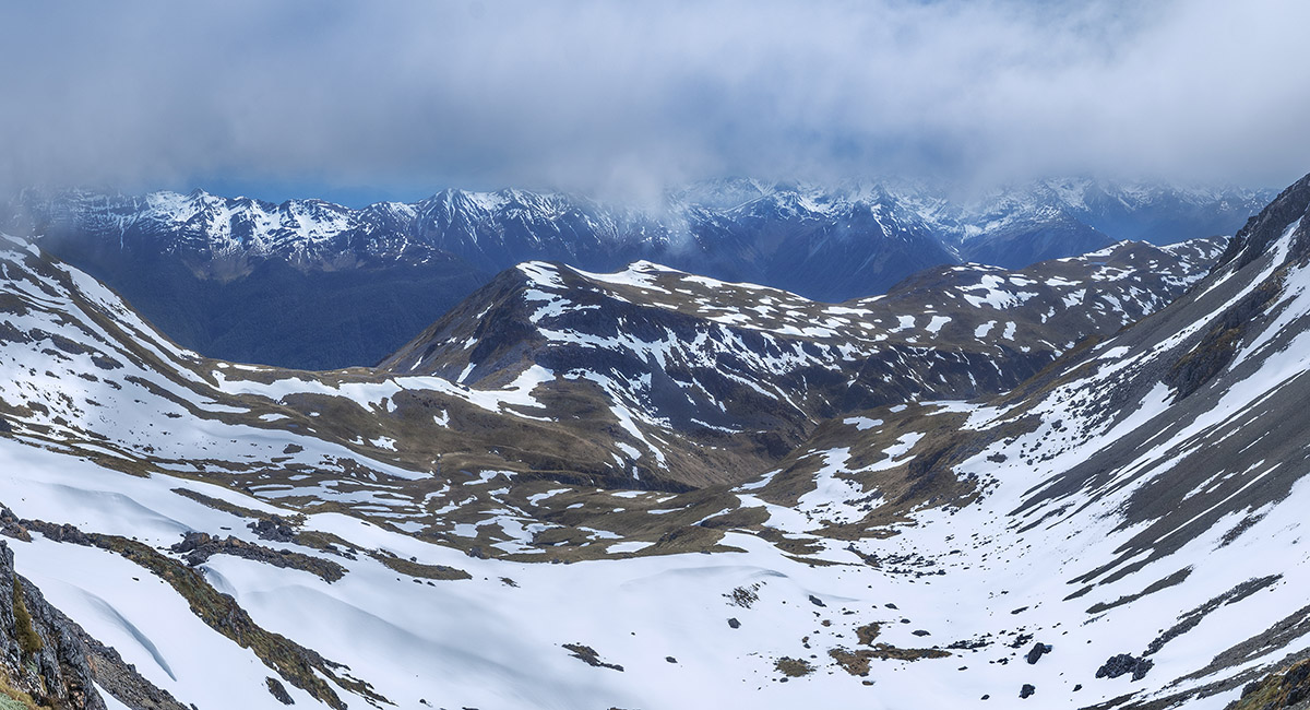
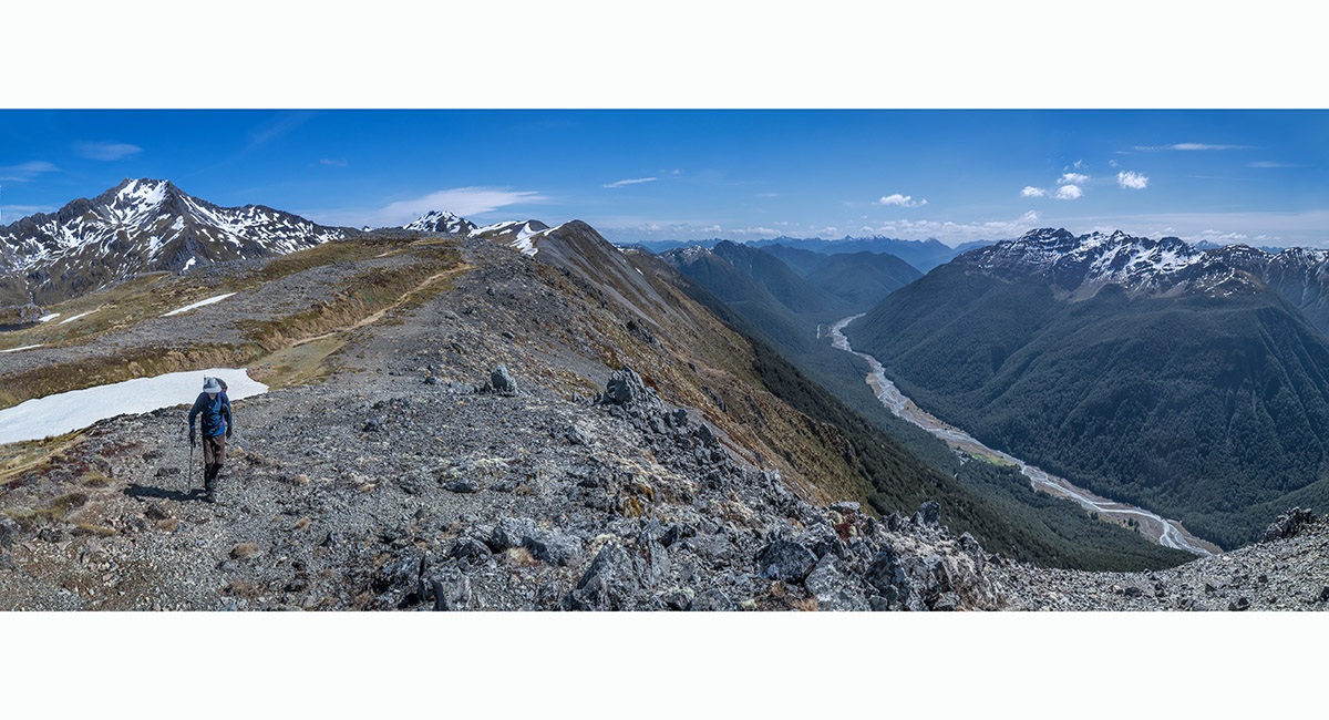
A view southwest from above the bushline, to Mt Technical centre

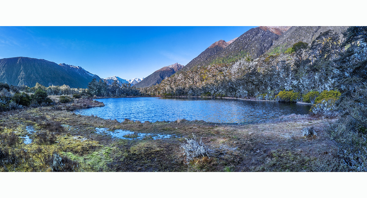
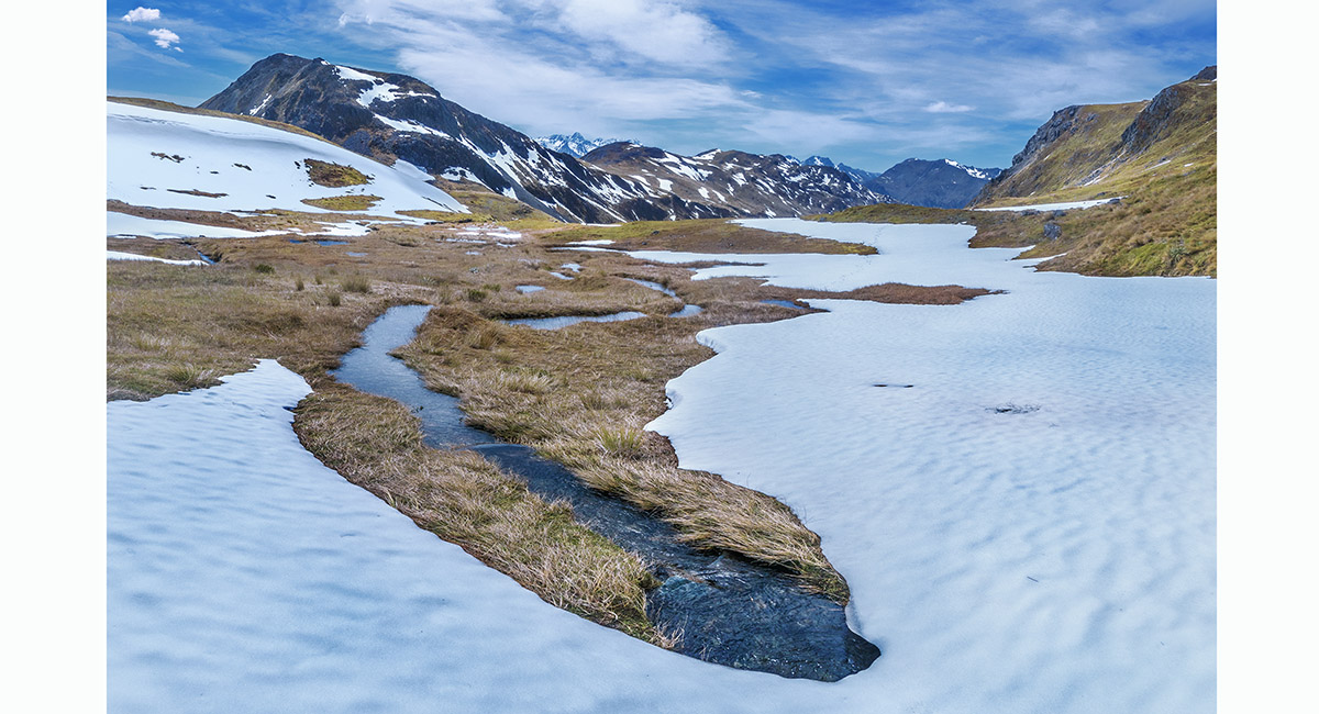
The un-named lake (863m) beside the Lewis Pass carpark

To order a print or web resolution file of any image you see in this slide show, just right click the image, click “Copy Image URL” and paste in to the “Your message” box of our Contact Us form. Please also note, for each image, if you want a print or web resolution file. We will get back to you as soon as possible to confirm price and payment details.
Open Contact Us in a new window to paste Image URL(s) easily