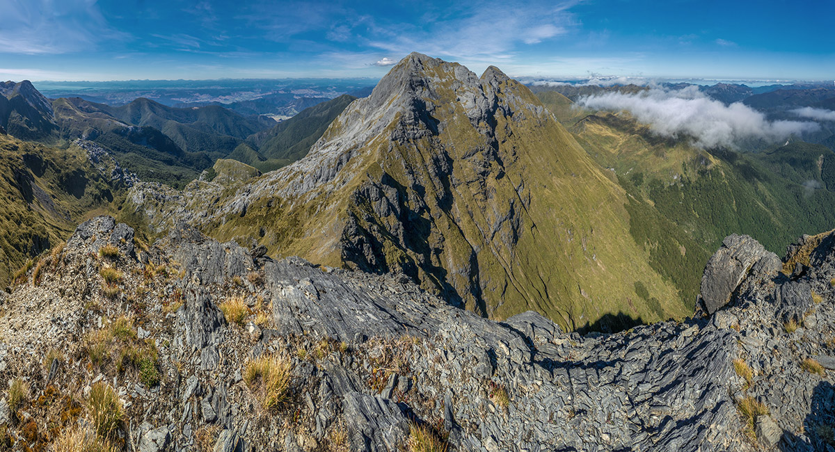
Between Mt Arthur and North Twin, March 2025
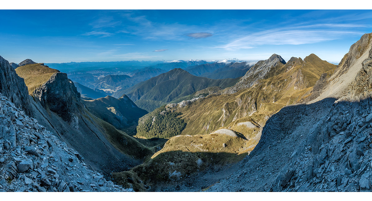
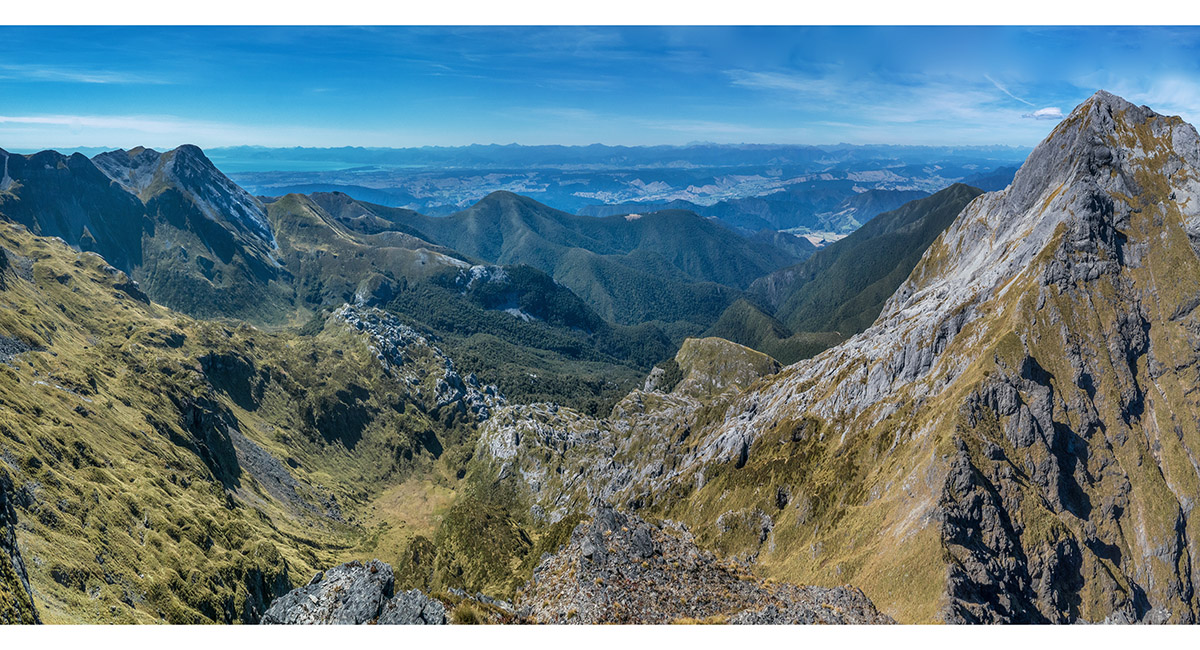
The view southwest to the Twins and Ellis Basin, from the dip between Mt Arthur and Winter Peak. This route shortcuts the Mt Arthur summit crossing

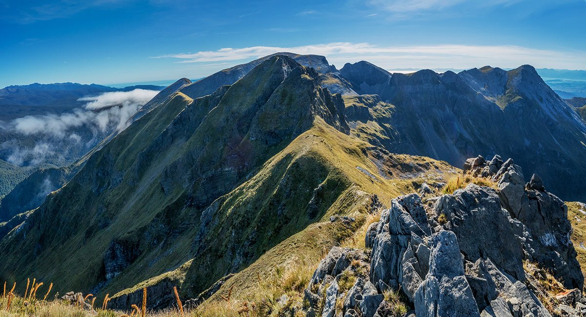
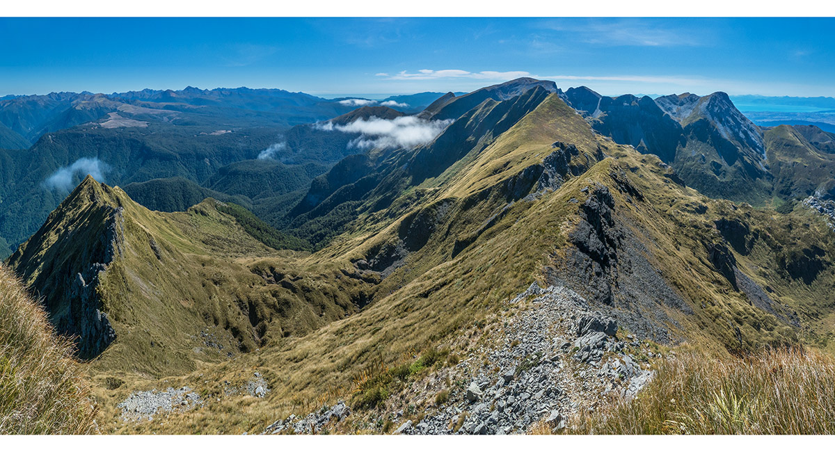
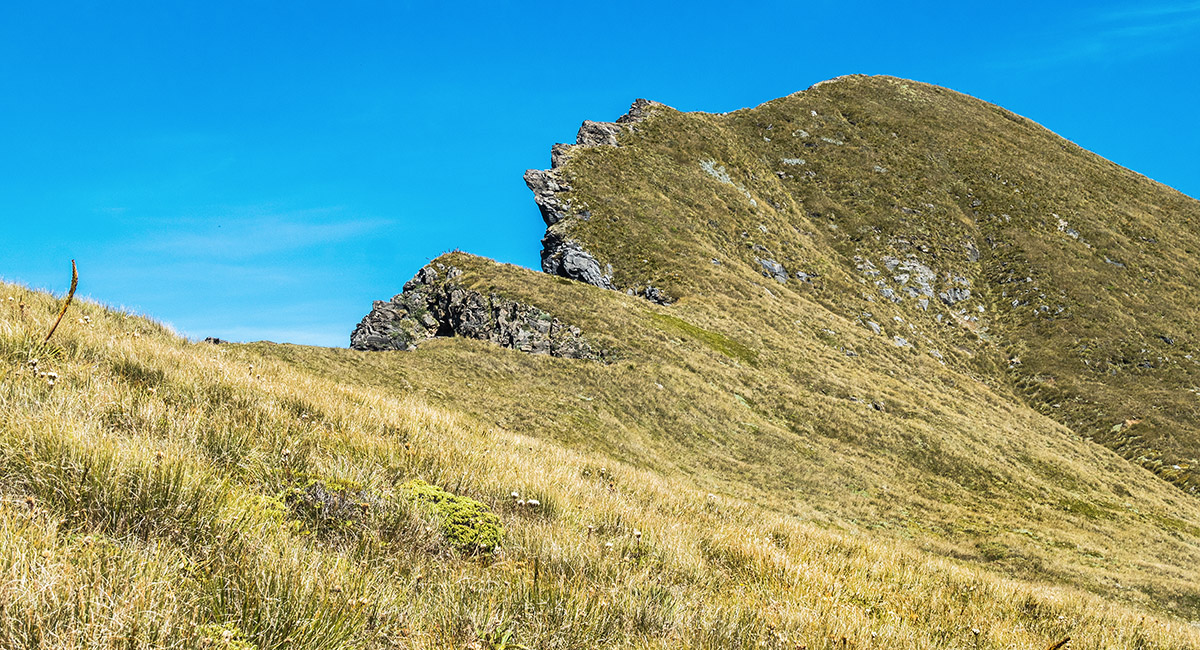
Looking southwest along the tops I would mostly traverse, from 1,700m on the south side of Mt Arthur. The first highpoint here - Pt 1753, is cut off by a deep gut on the western end, so I climbed this last on my return

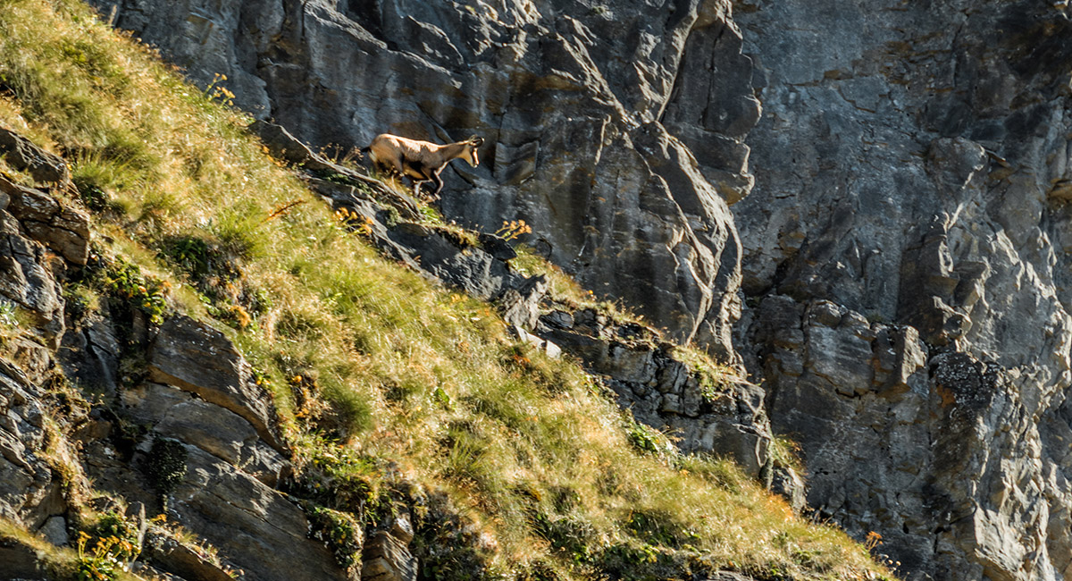
A couple of Chamois were moving about on the steep faces of Pt 1753, dislodging rocks above me as I traversed west to gain the ridge beyond Pt 1753

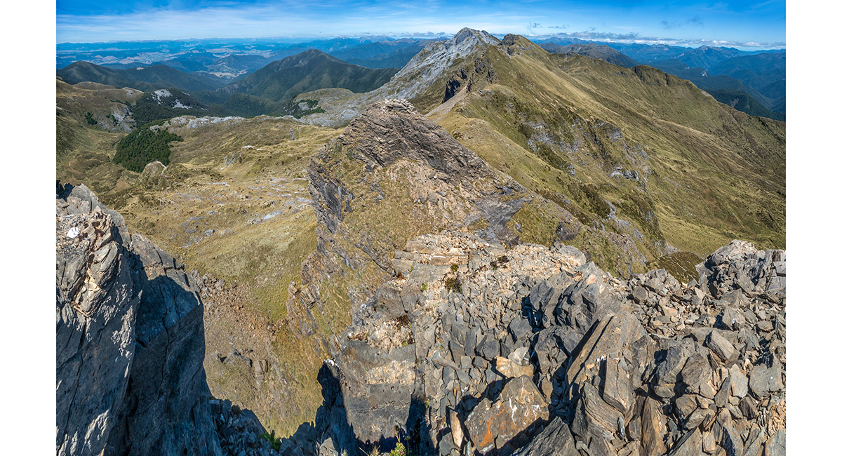
The view west, from the ridge beyond Pt 1753, to the middle high point - steep at first to reach the top at 1,720m

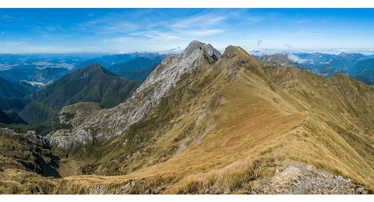
Looking back from the 1,720 high point to the impassable section of Pt 1753 and Mt Arthur beyond

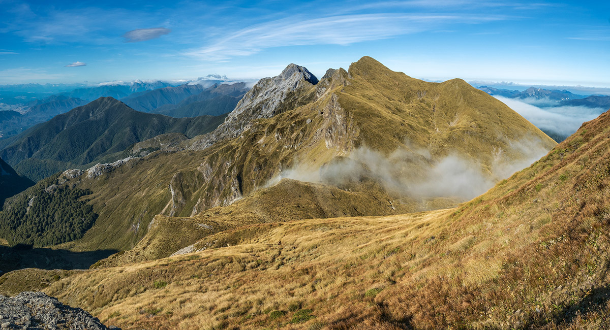
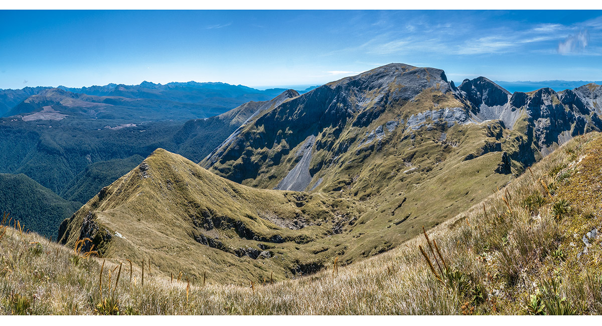
The west side of the 1,720m high point is more gradually sloping open tussock, leading back up to the third high point - 1,745m, just north of North Twin

Looking back to a short steep craggy section between the 1,720m high point and the flanks of the third 1,745m high point

Nearing the top of the third high point, with the Twins beyond

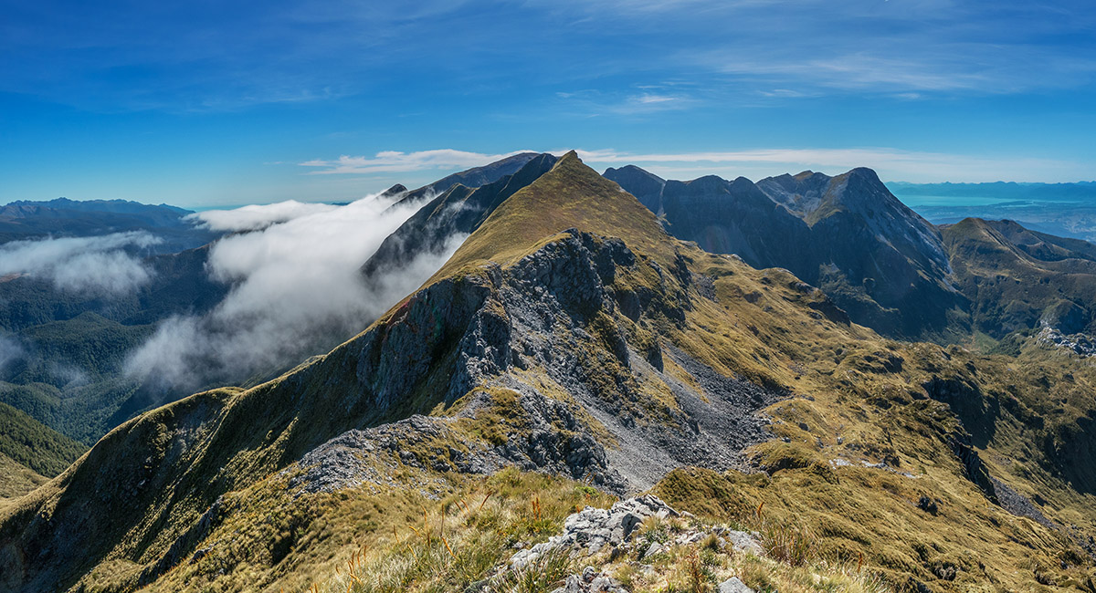
A view to the exposed north face of North Twin, from the 1,745m high point. The terrain rolled off very steeply here - probably passable, but very exposed. I retraced my steeps to the dip in the ridge at 1,670m to then drop into the head of Ellis Basin

A view into Ellis Basin from the 1,745m high point

The view northeast, back along my ridge route to distant Mt Arthur

Down at about 1,600m on the south side of the ridge, in upper Ellis Basin, looking to Winter Peak (1,750m, left of centre) and Pt 1732 (right)

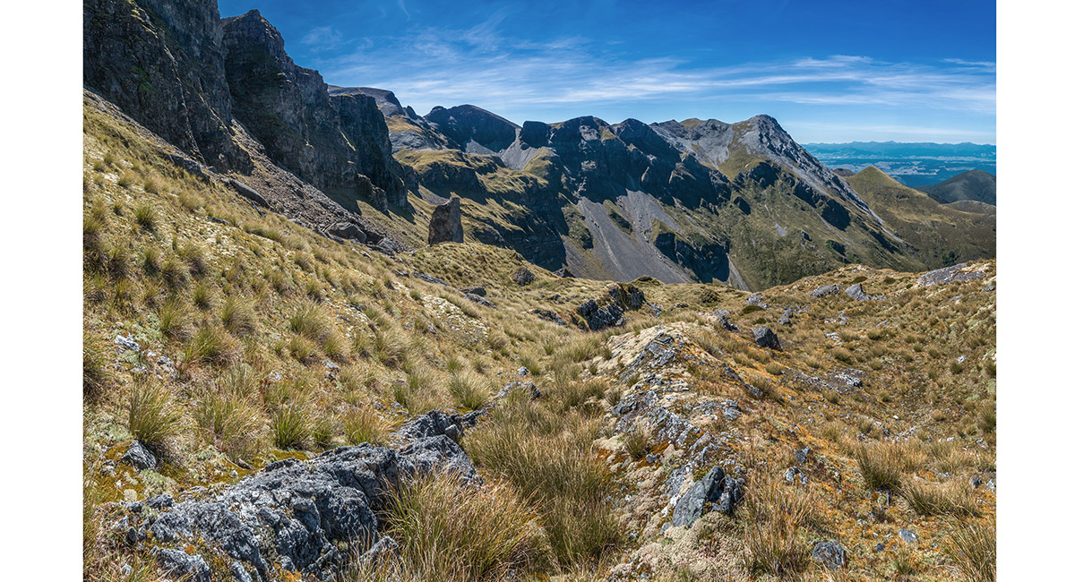
Now back on the northeast side of Pt 1753, about to climb

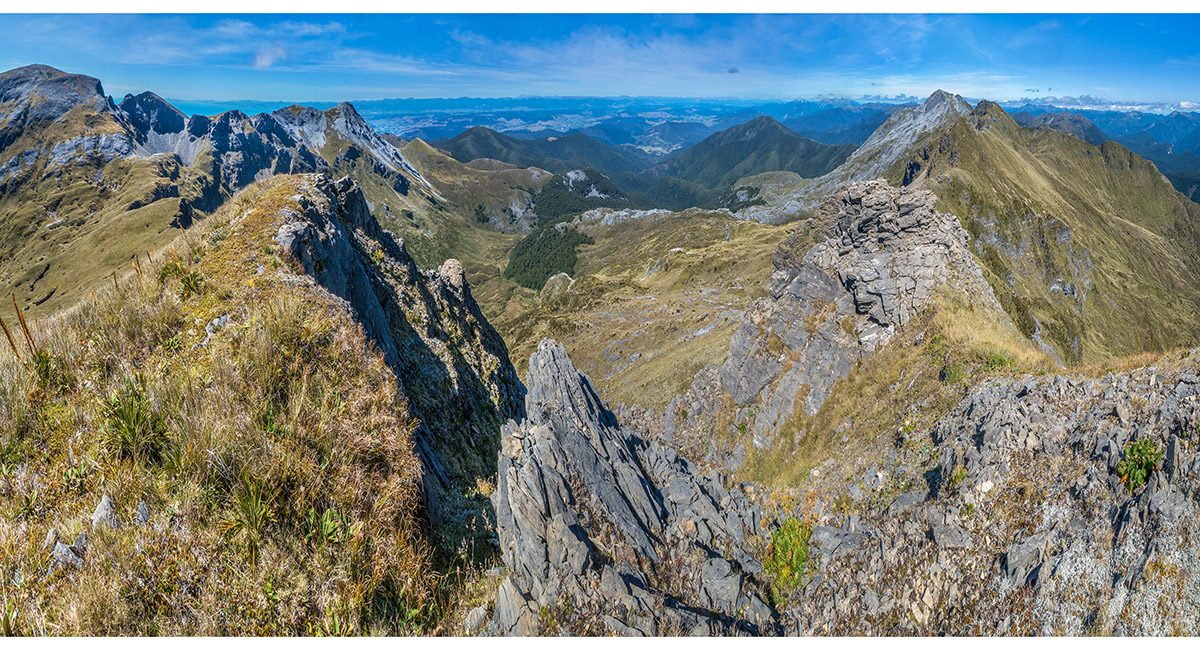
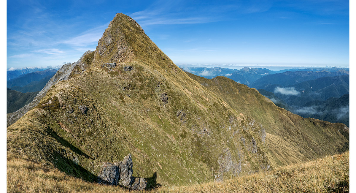
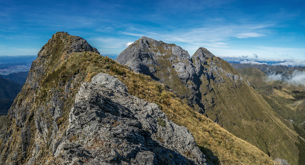
The view from Pt 1753, with Mt Arthur far left and the Twins right

The view from Pt 1753, across the impassable gut to the 1,720m and 1,745m high points and the Twins

The view from Pt 1753, back to Mt Arthur


To order a print or web resolution file of any image you see in this slide show, just right click the image, click “Copy Image URL” and paste in to the “Your message” box of our Contact Us form. Please also note, for each image, if you want a print or web resolution file. We will get back to you as soon as possible to confirm price and payment details.
Open Contact Us in a new window to paste Image URL(s) easily