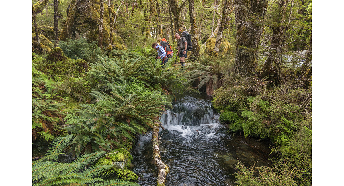
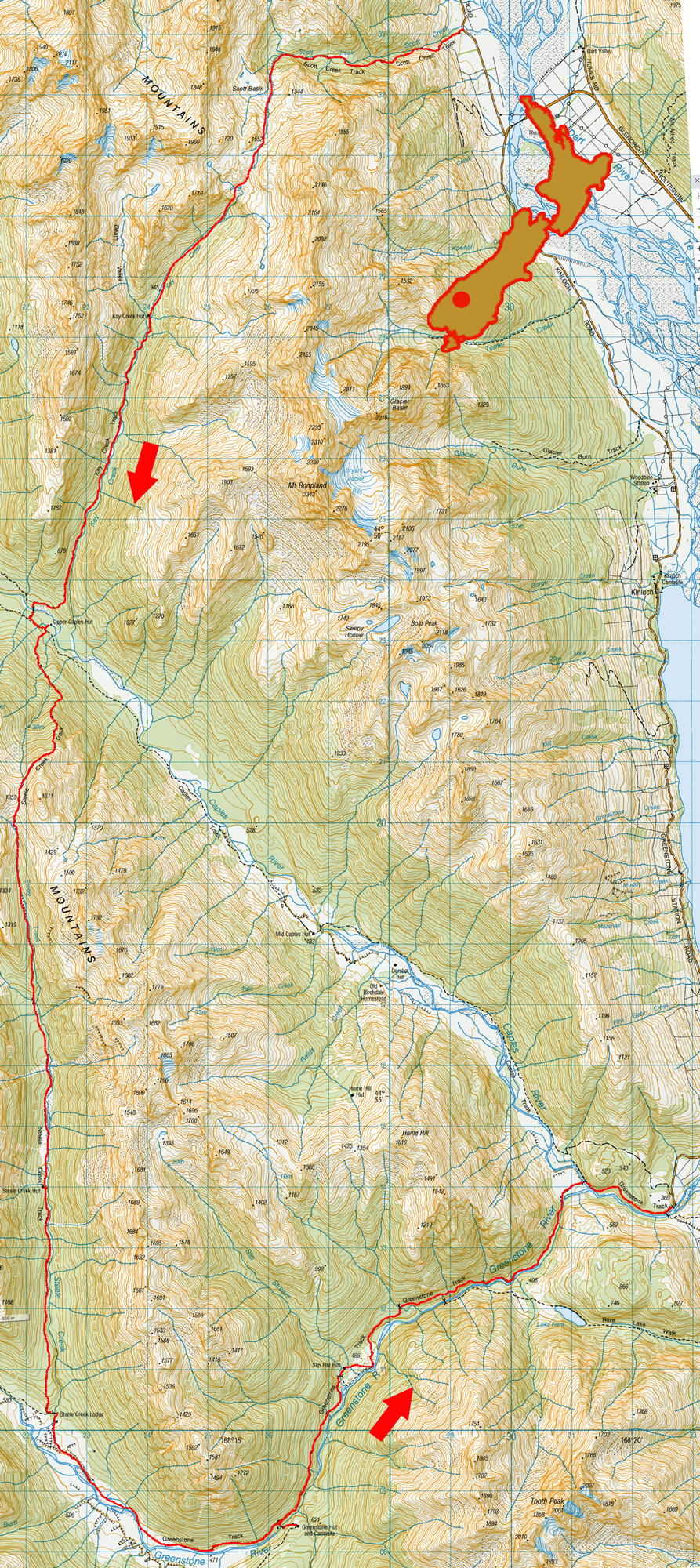
Scott Creek to Greenstone River, February 2021

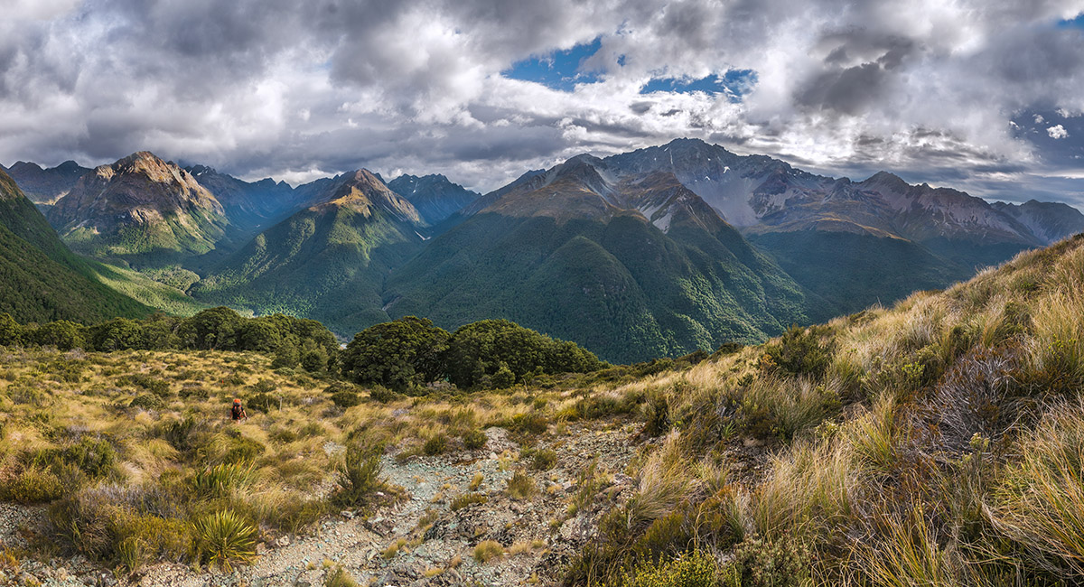
Looking northeast from about 500m, up the Dart River

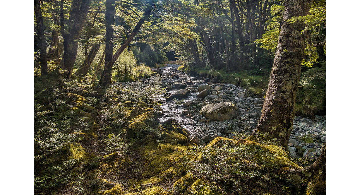
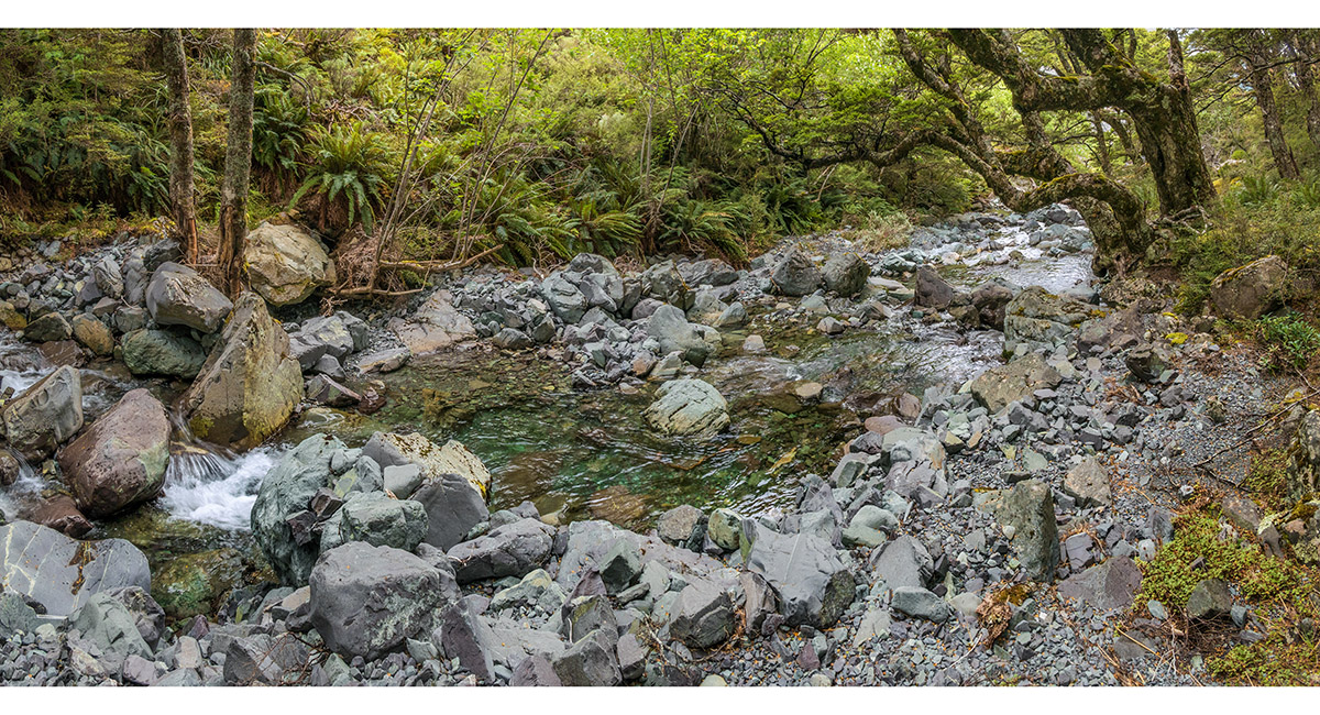
Scott Creek, at about 800m


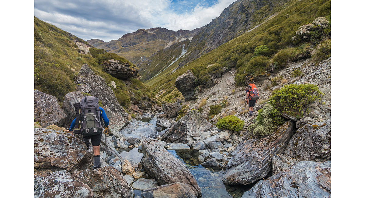
Scott Creek, at about 900m

Scott Creek, at about 1,000m

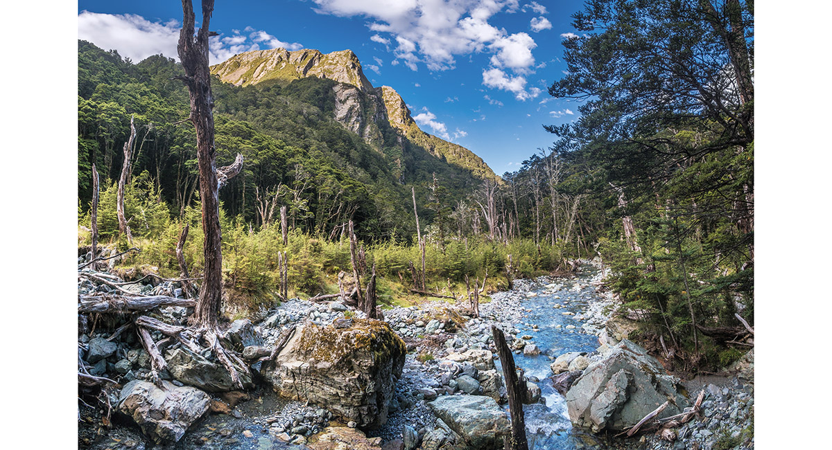
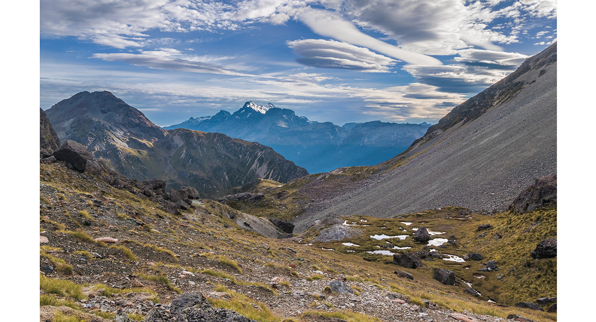
Scott Creek, at about 1,150m, looking north

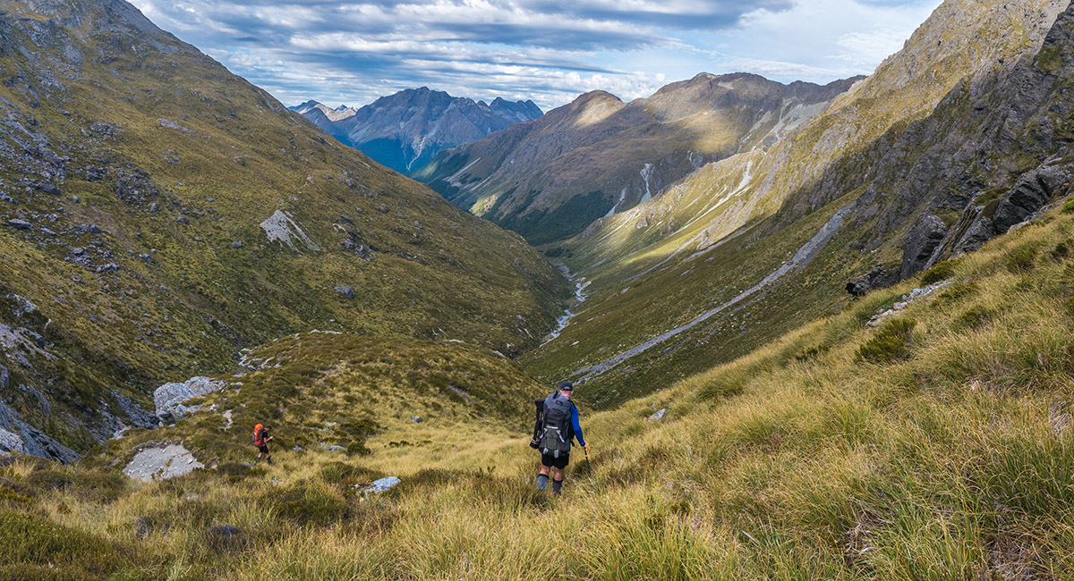
Scott Creek, at about 1,250m, looking south

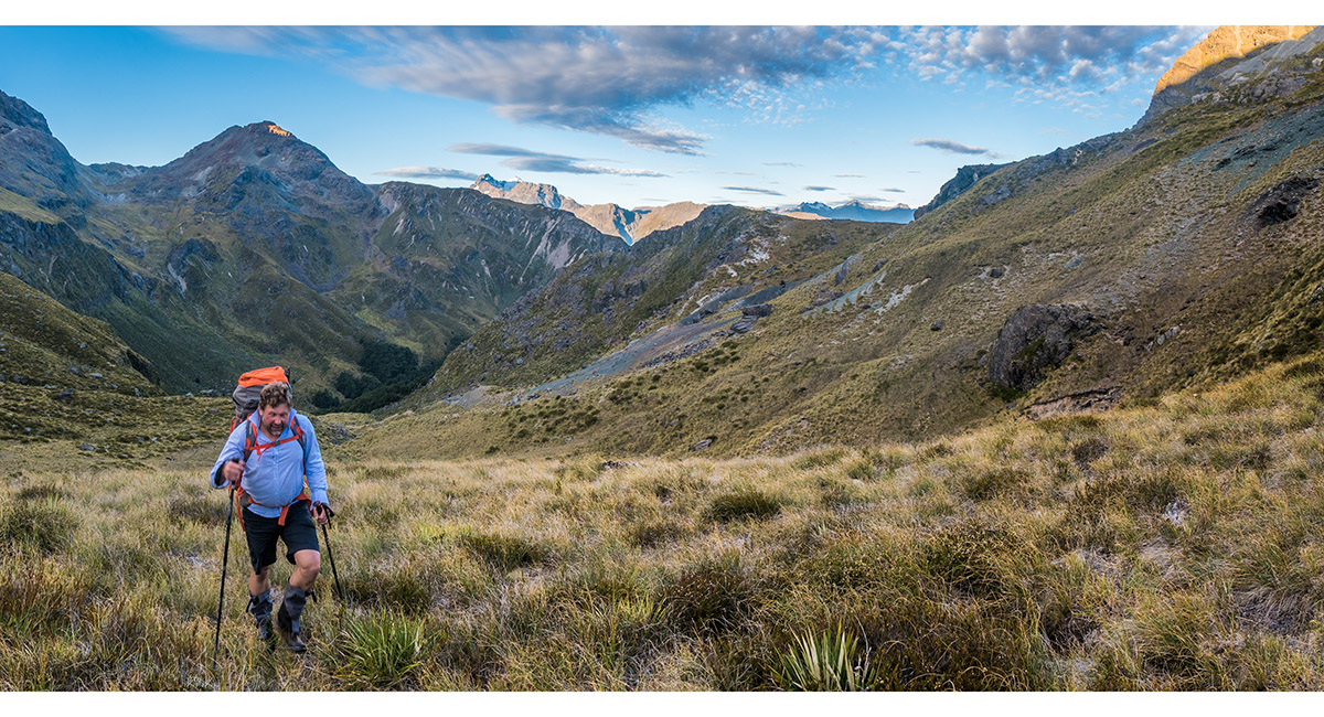
Scott Creek, at about 1,350m, looking north

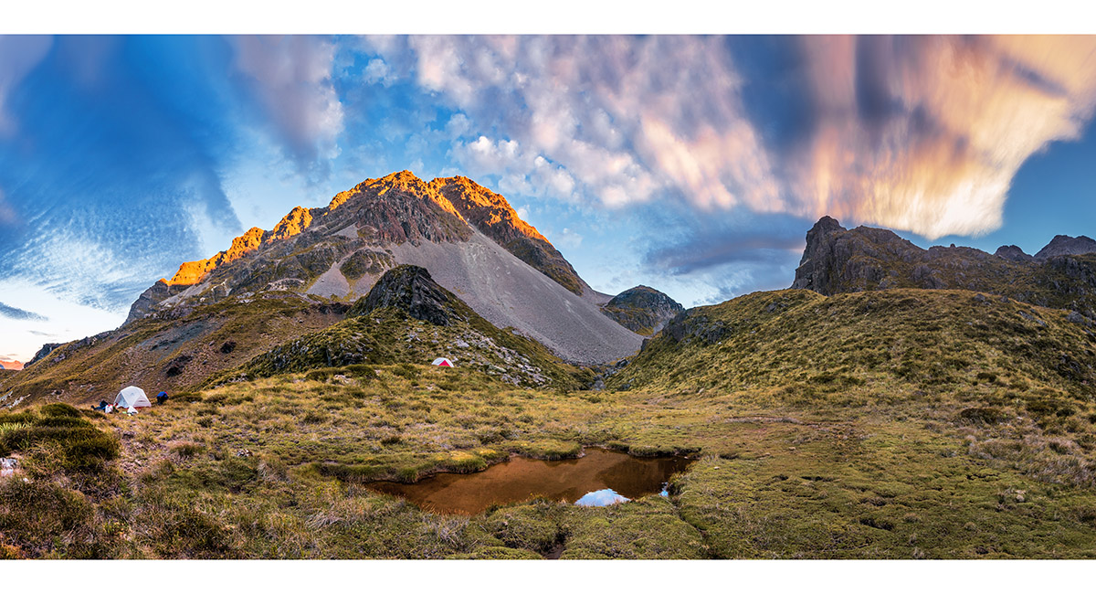
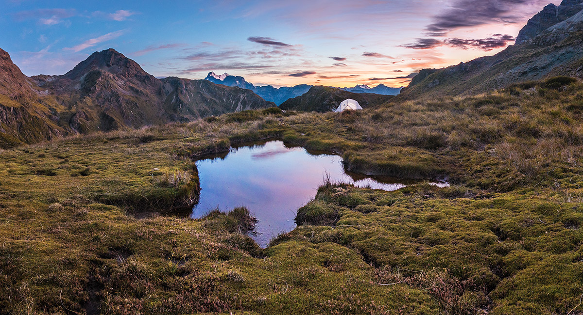
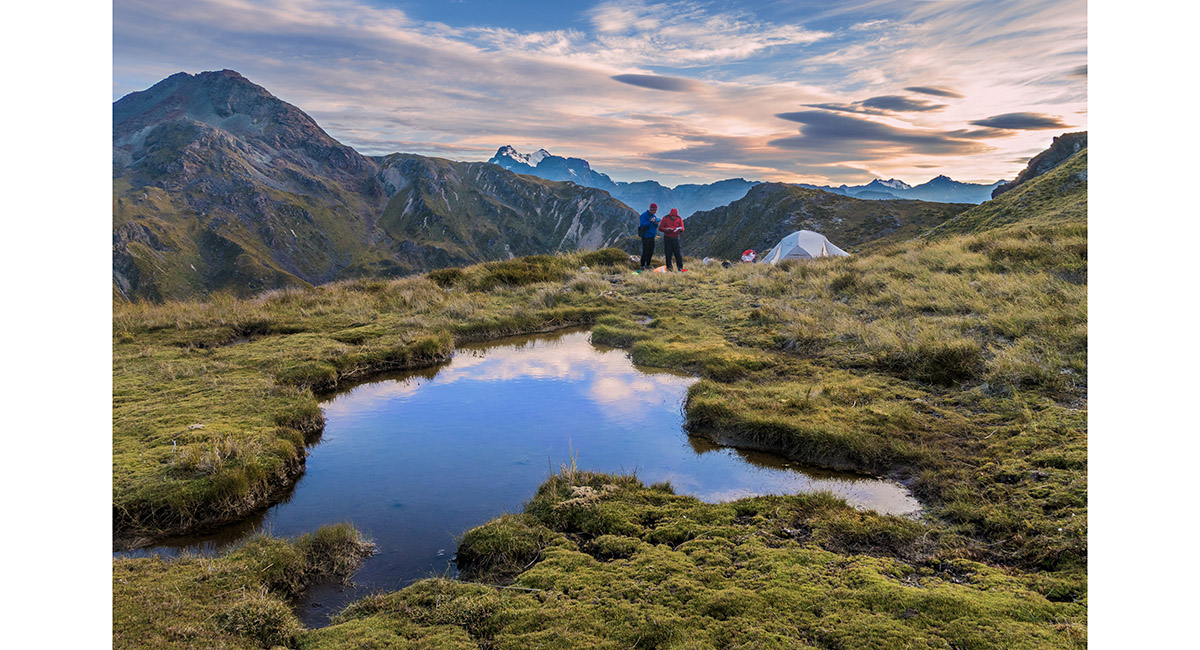
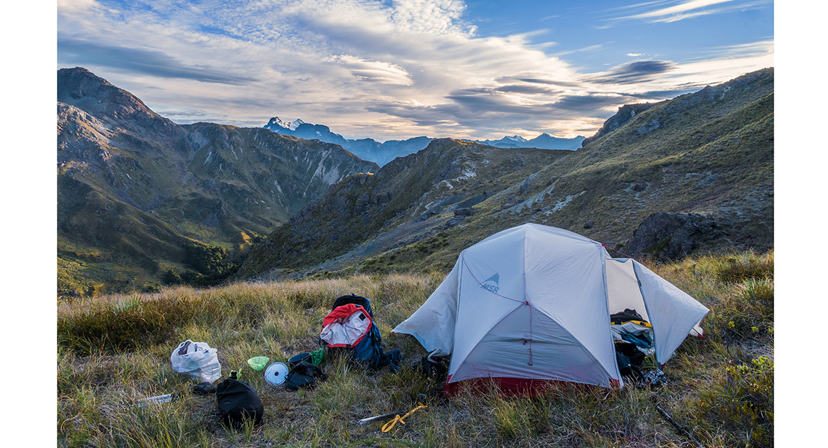
At our campsite at 1,380m, looking south at sunset

At our campsite at 1,380m, looking north at sunset

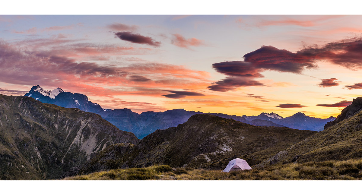
Mt Earnslaw (2,830m) to the northeast, at sunset

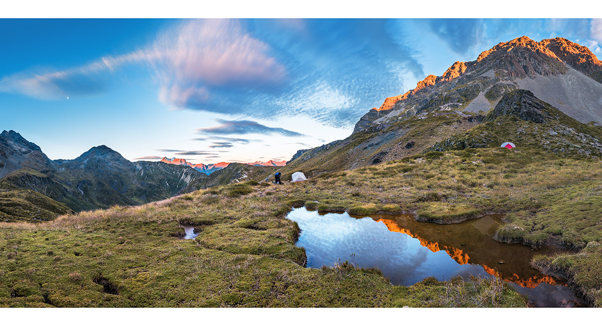
At our campsite at 1,380m, looking north at dawn

At our campsite at 1,380m, looking northeast to Mt Earnslaw at dawn

At our campsite at 1,380m, looking northeast to Mt Earnslaw at dawn

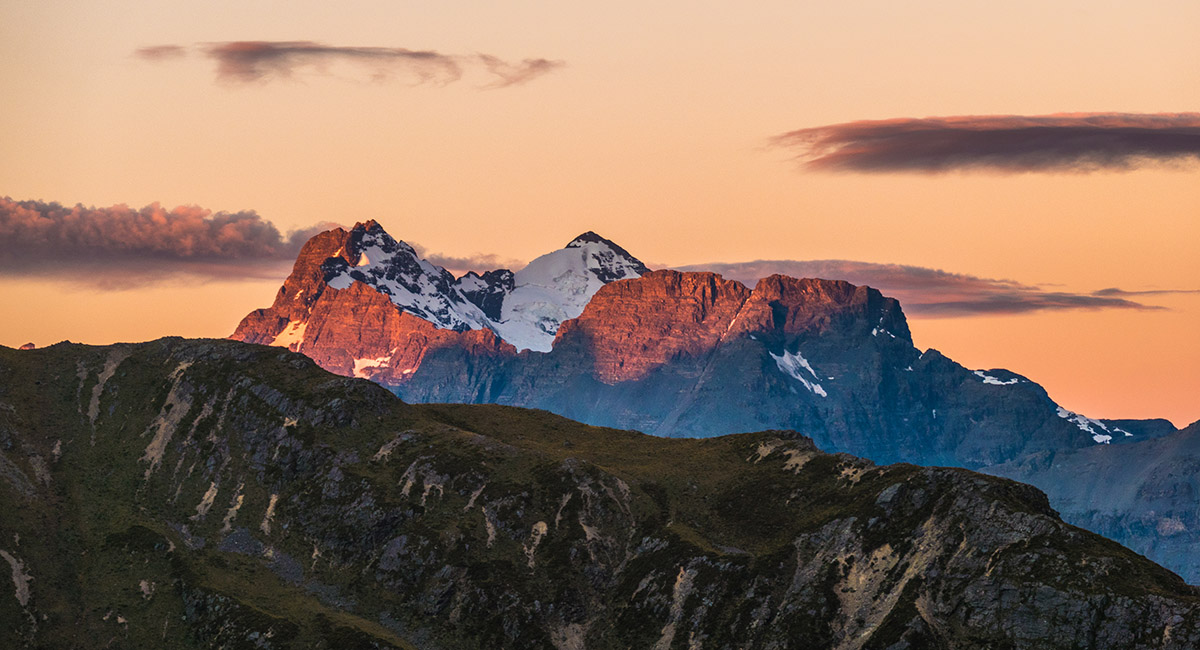
Mt Earnslaw to the northeast, at sunrise

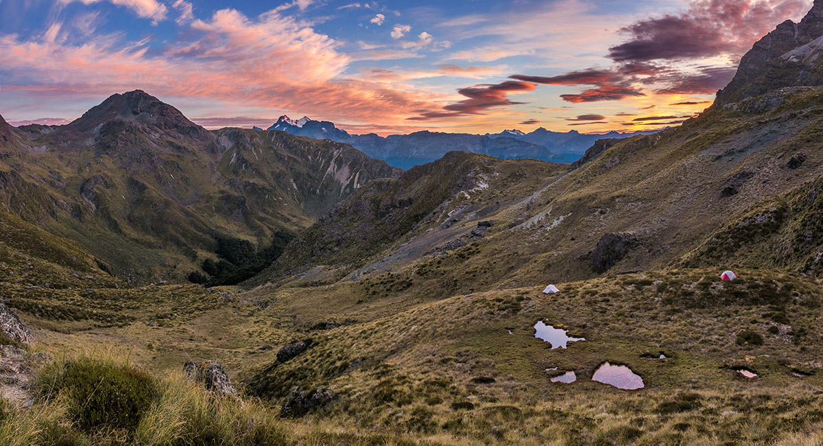
At our campsite at 1,380m, looking northeast to Mt Earnslaw


At our campsite at 1,380m, looking northeast to Mt Earnslaw

At our campsite at 1,380m, looking northeast to Mt Earnslaw

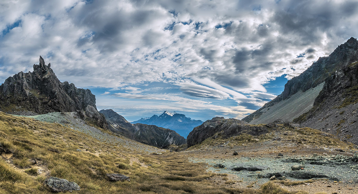
At about 1,400m, near Scott Saddle, looking northeast to Mt Earnslaw

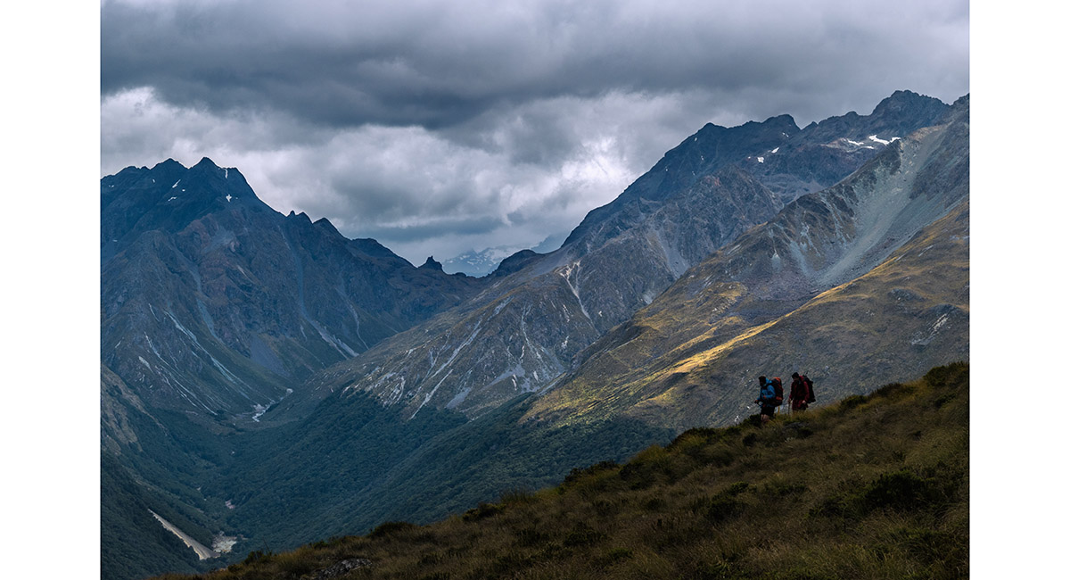
Approaching the saddle at 1,500m, looking south

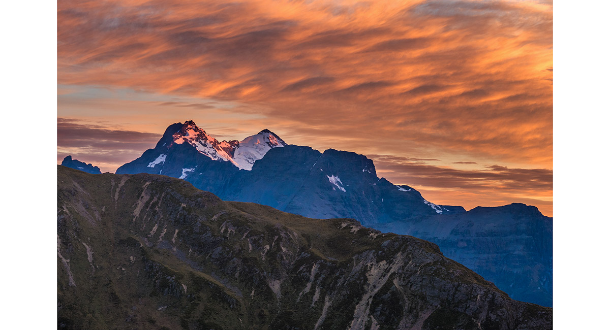
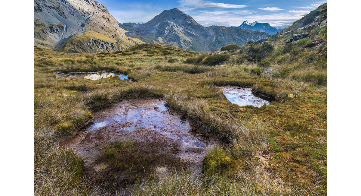
A view from the saddle, back to Mt Earnslaw

A view from the saddle, back to Mt Earnslaw

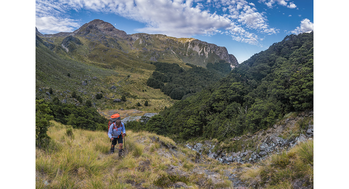
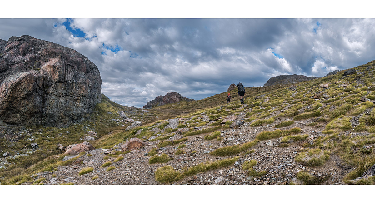
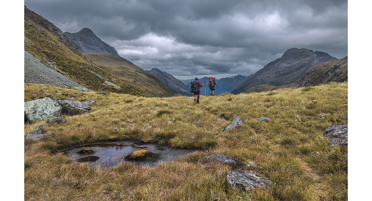
Beginning the southward descent from the saddle into Kay Creek

A view from about 1,400m back up to the saddle

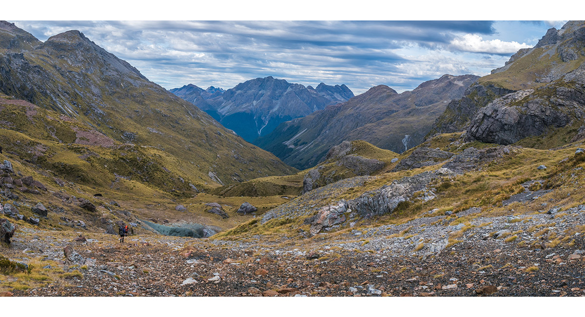
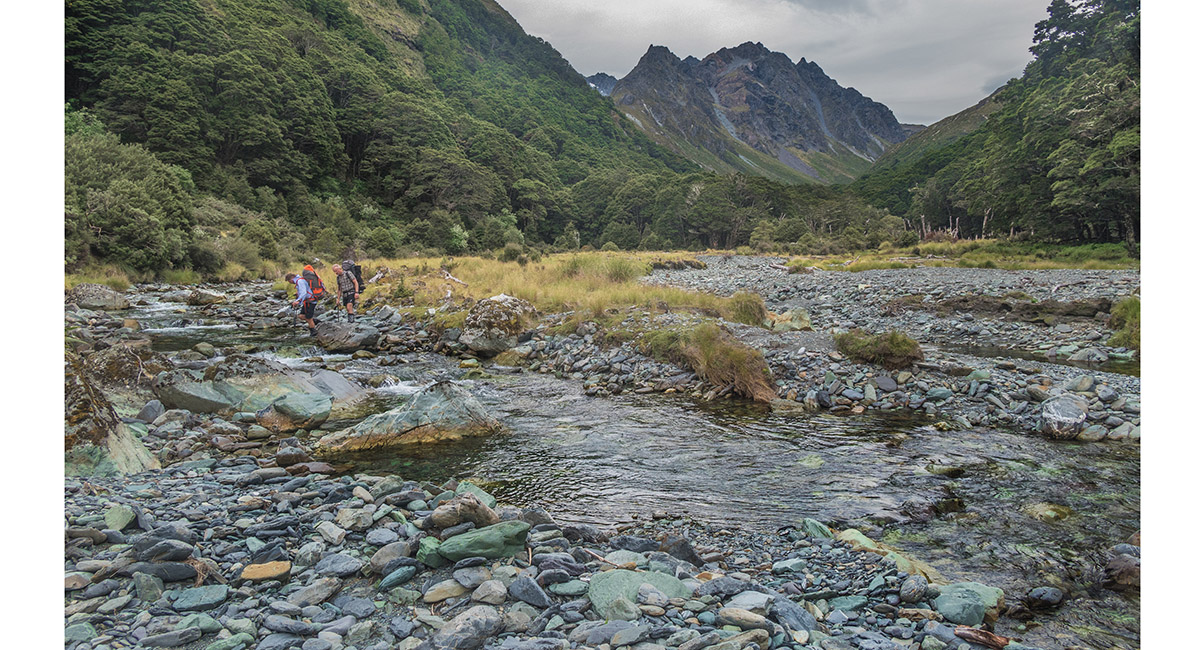
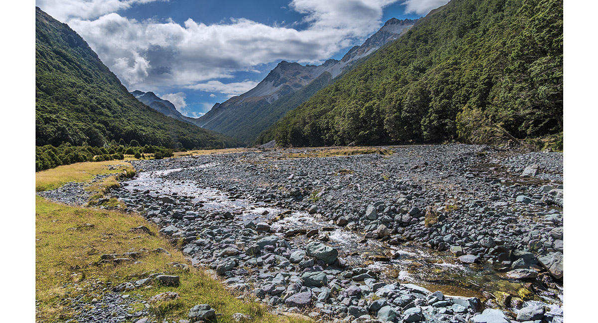
At about 1,300m on the descent to Kay Creek, looking south

At about 1,100m on the descent to Kay Creek, looking south


At about 1,000m on the descent to Kay Creek, looking south

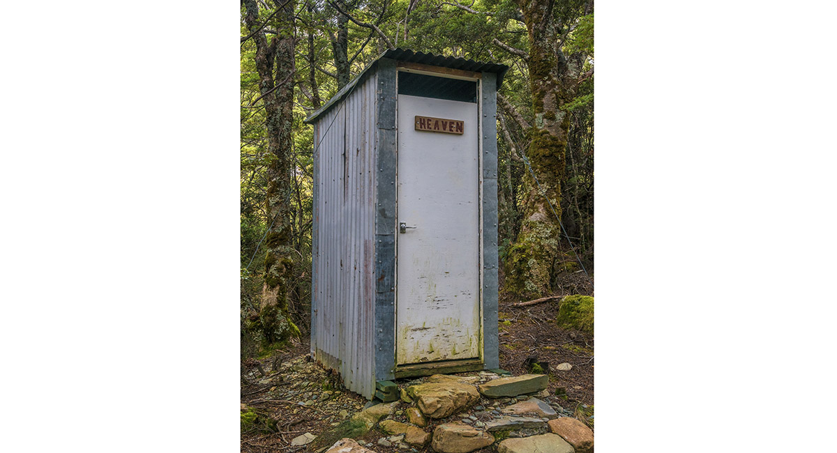
The loo just above Kay Creek Hut

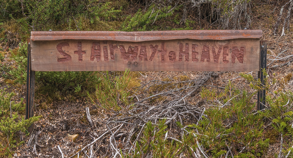
Directions to the Kay Creek Hut loo

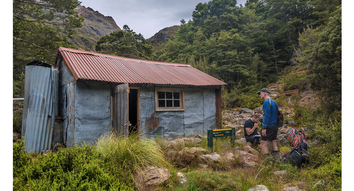
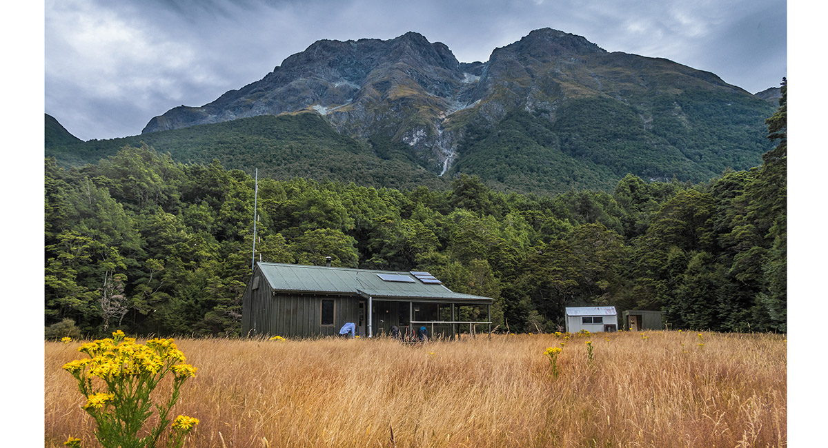
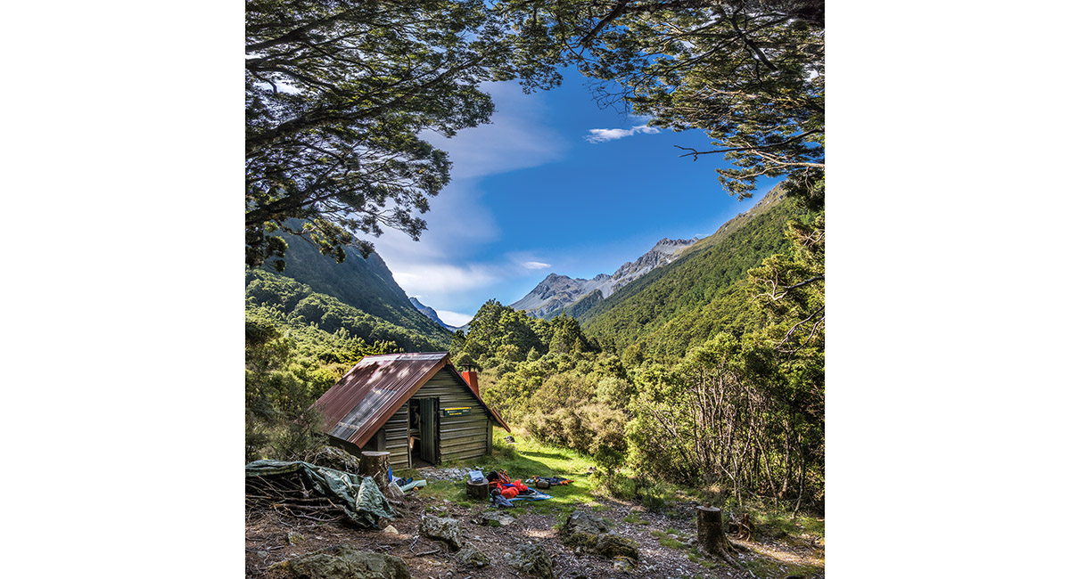
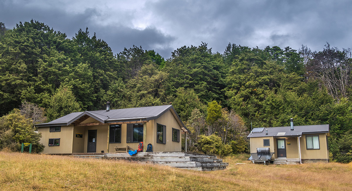
Kay Creek Hut, 900m

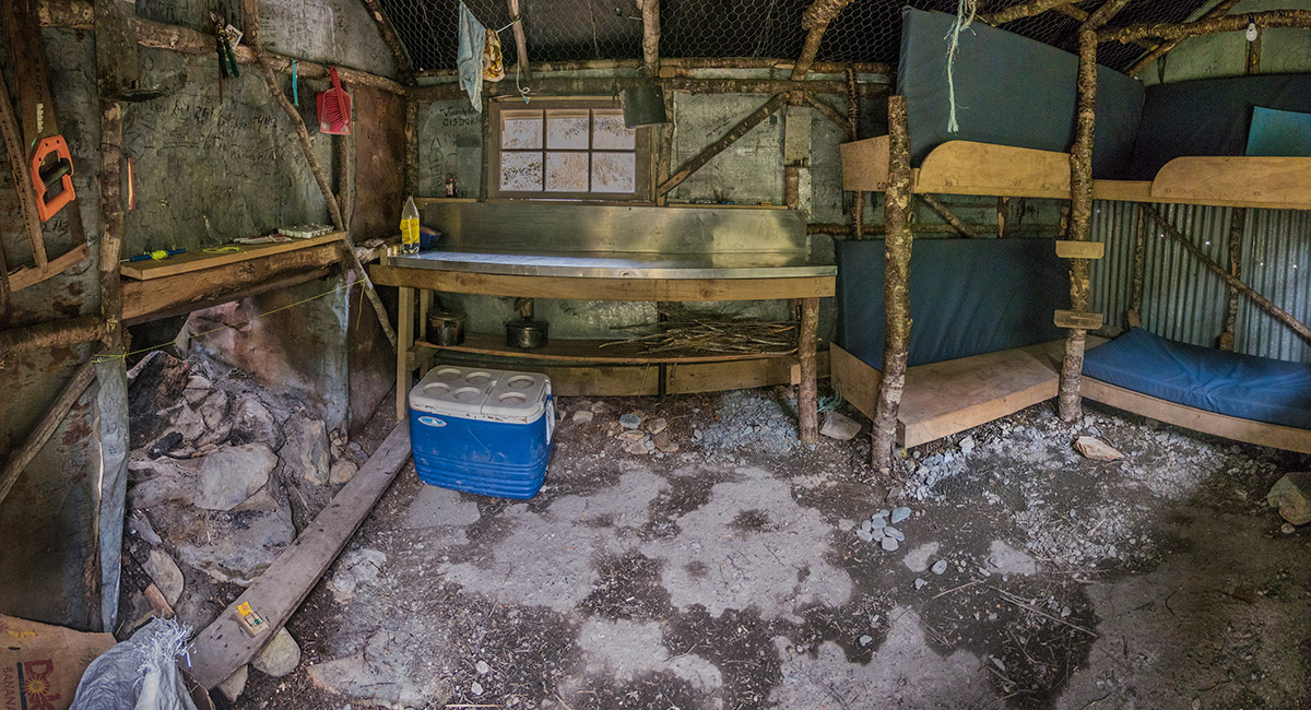
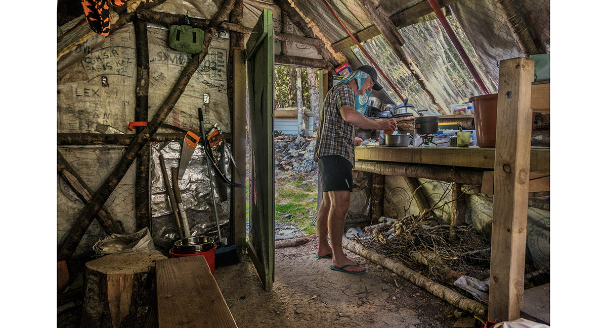
Inside Kay Creek Hut


Inside Kay Creek Hut

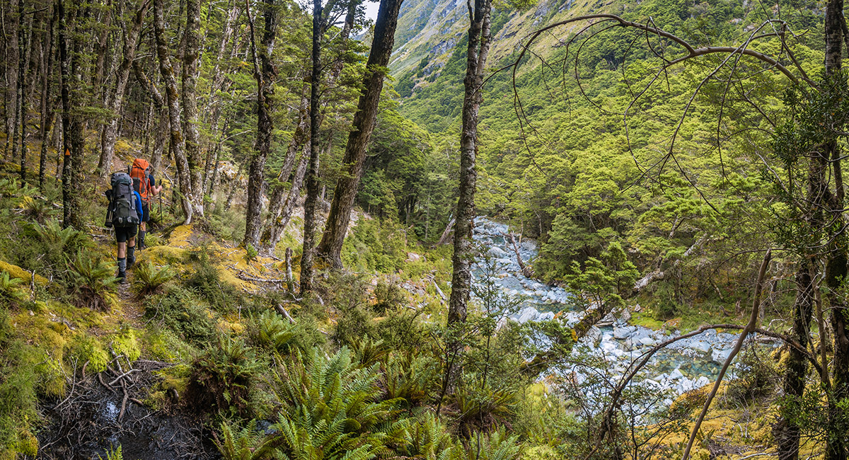
On the descent of Kay Creek below the hut, looking south at about 800m

On the descent of Kay Creek below the hut, looking south at about 700m

On the descent of Kay Creek at about 600m

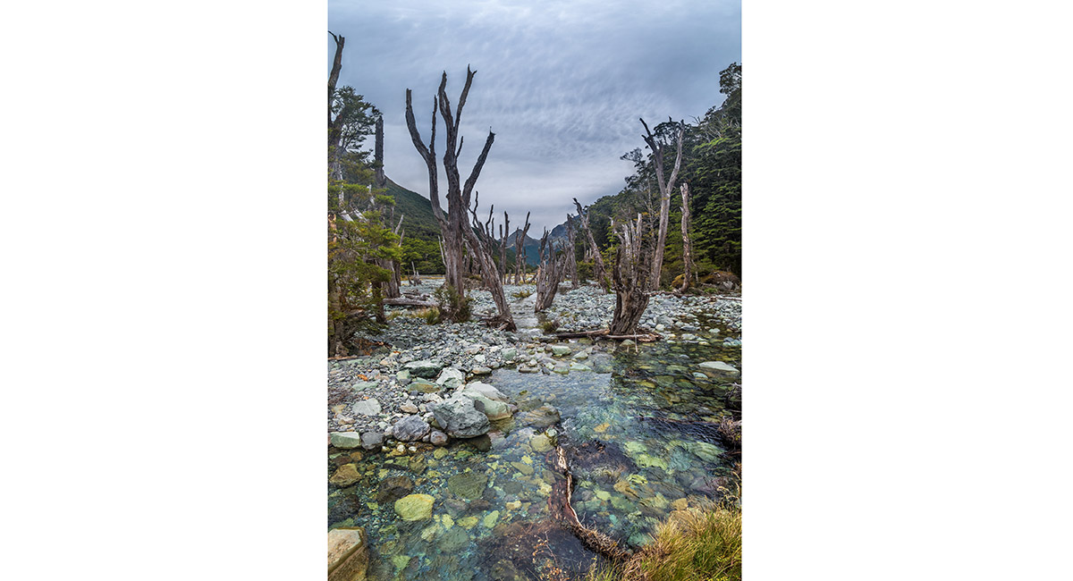
On the descent of Kay Creek at about 500m

Upper Caples Hut, 480m

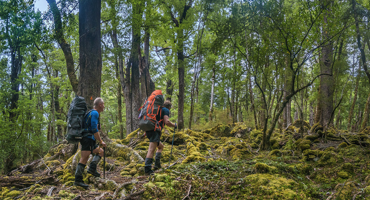
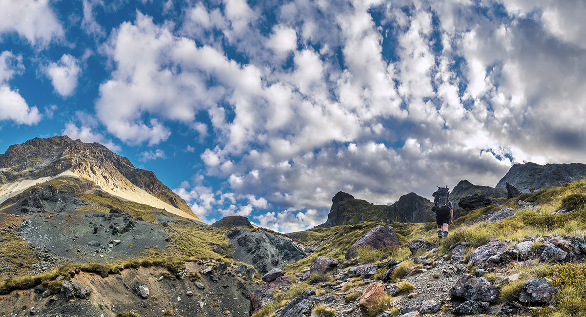
Beginning the southward ascent to Steele Creek Saddle

Above the treeline at about 1,250m, looking to the Humboldt Mountains, with Caples River cutting across left, Fraser Creek left, Steele Creek left of centre and Mt Bonplan (2,343m) right of centre


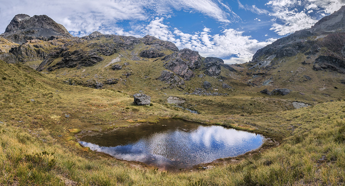
The view up Fraser Creek from about 1,300m

The view up Steele Creek from about 1,300m


On the south side of Steele Saddle, looking north

Beginning the southward descent from Steele Saddle

A view south down Steele Creek from about 1,250m

Entering the bushline beside Steele Creek at about 1,000m, where the trail picks up again

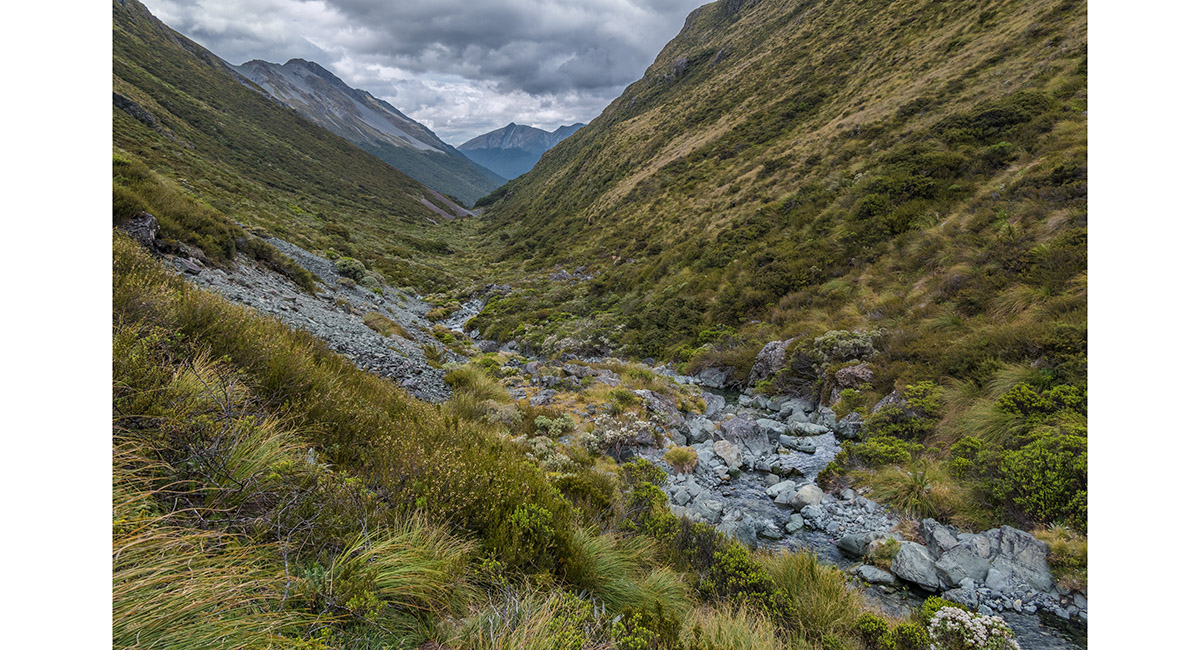
A view up Steele Creek from about 850m

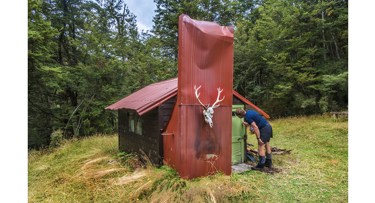
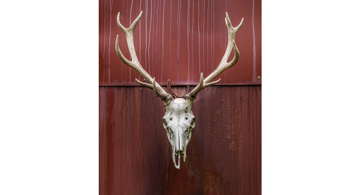
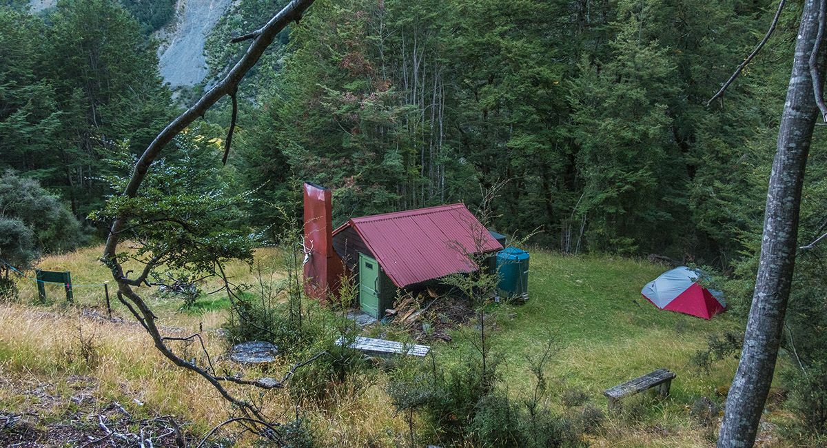
Quirky Steele Creek Hut, 700m, looking north


Steele Creek Hut, 700m, looking south

Inside Steele Creek Hut


Steele Creek, a little south of the hut

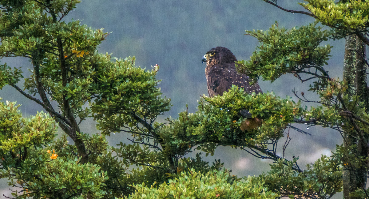
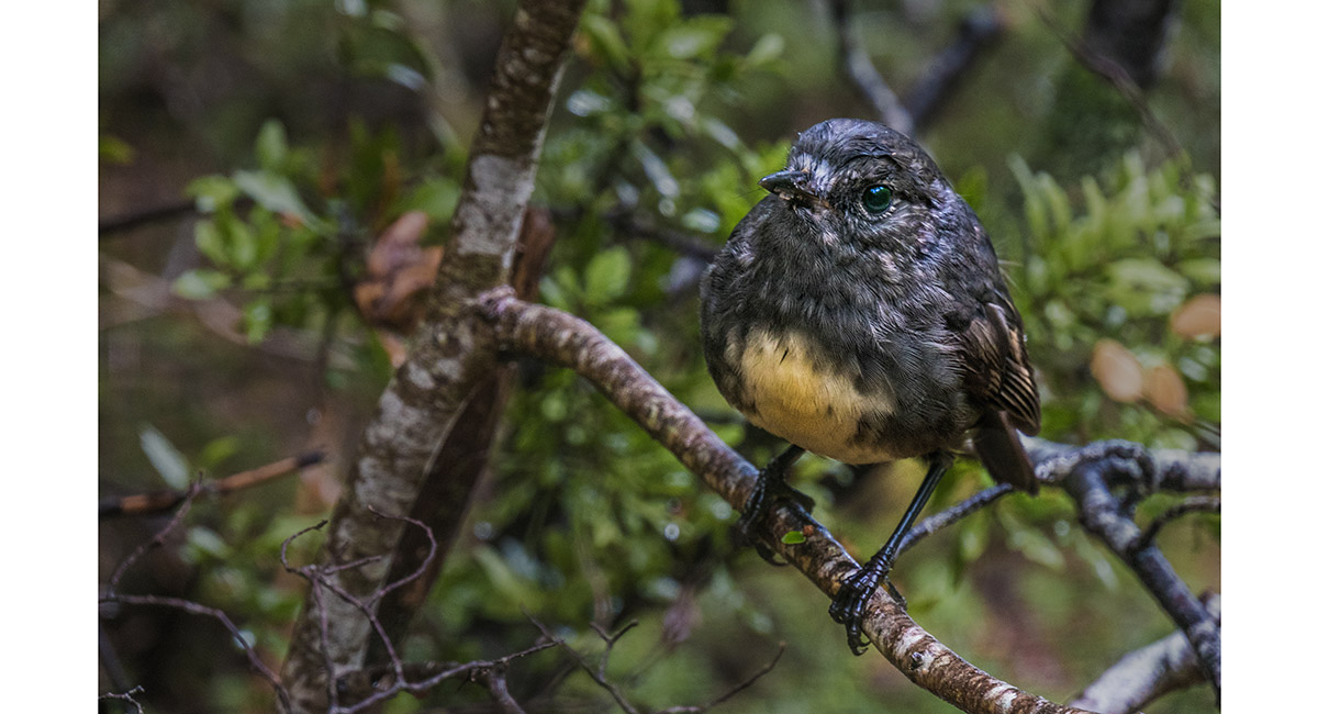
A native Falcon/Kārearea, contemplating the drissle beside Greenstone River

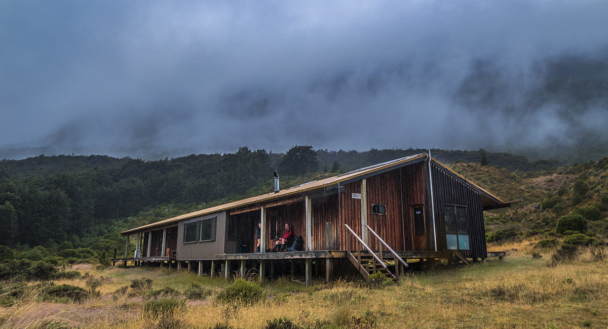
Steele Creek Lodge, 530m, beside Greenstone River

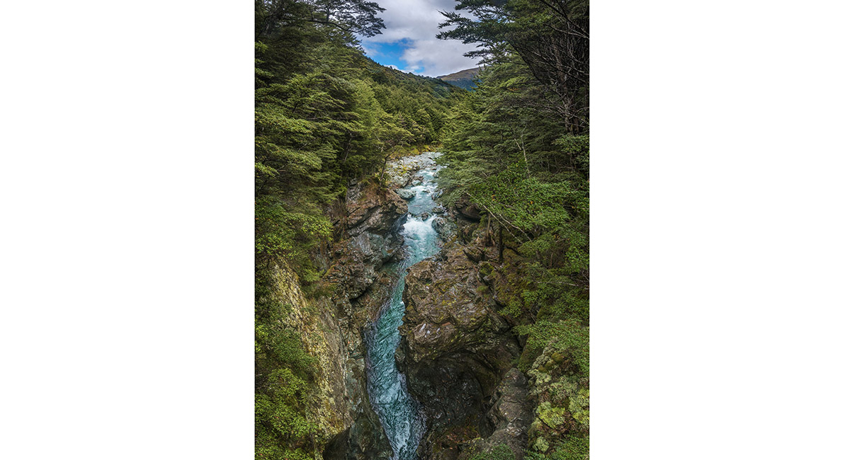
A view west up Greenstone River from the bridge over the chasm near Greenstone Hut

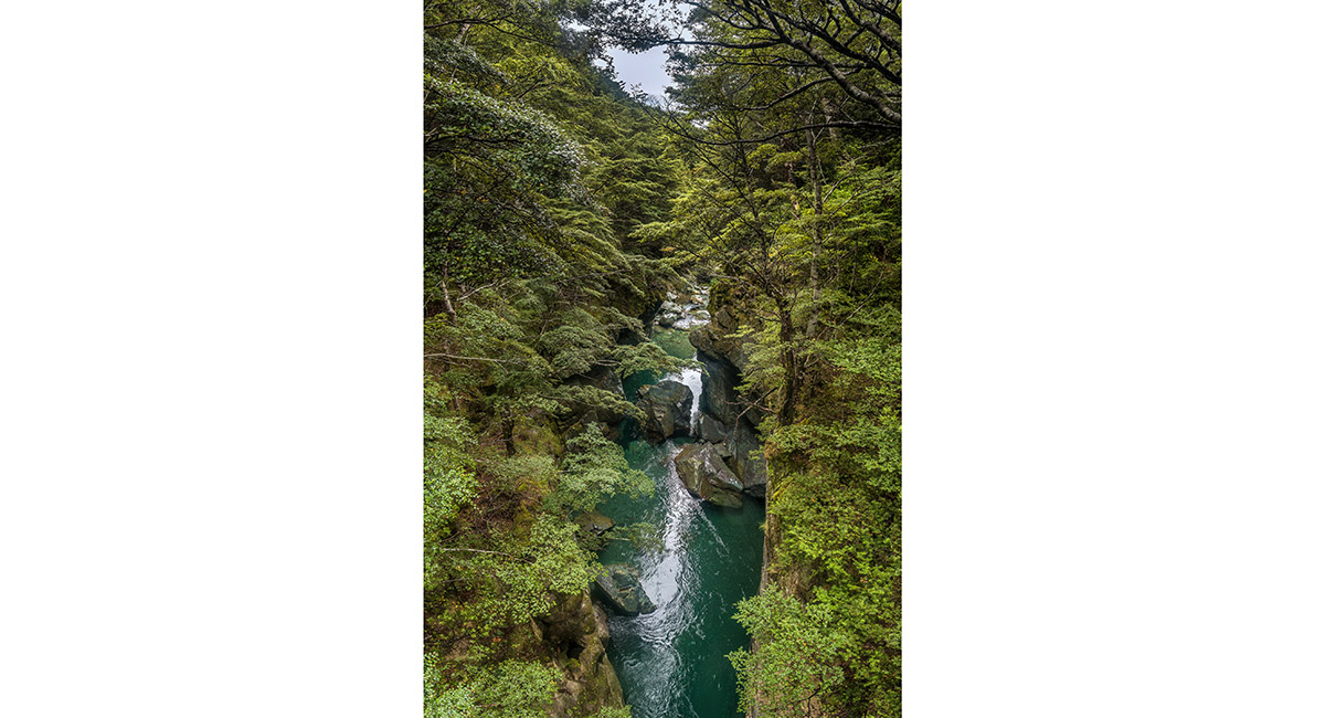
A view east down Greenstone River from the bridge over the chasm near Greenstone Hut

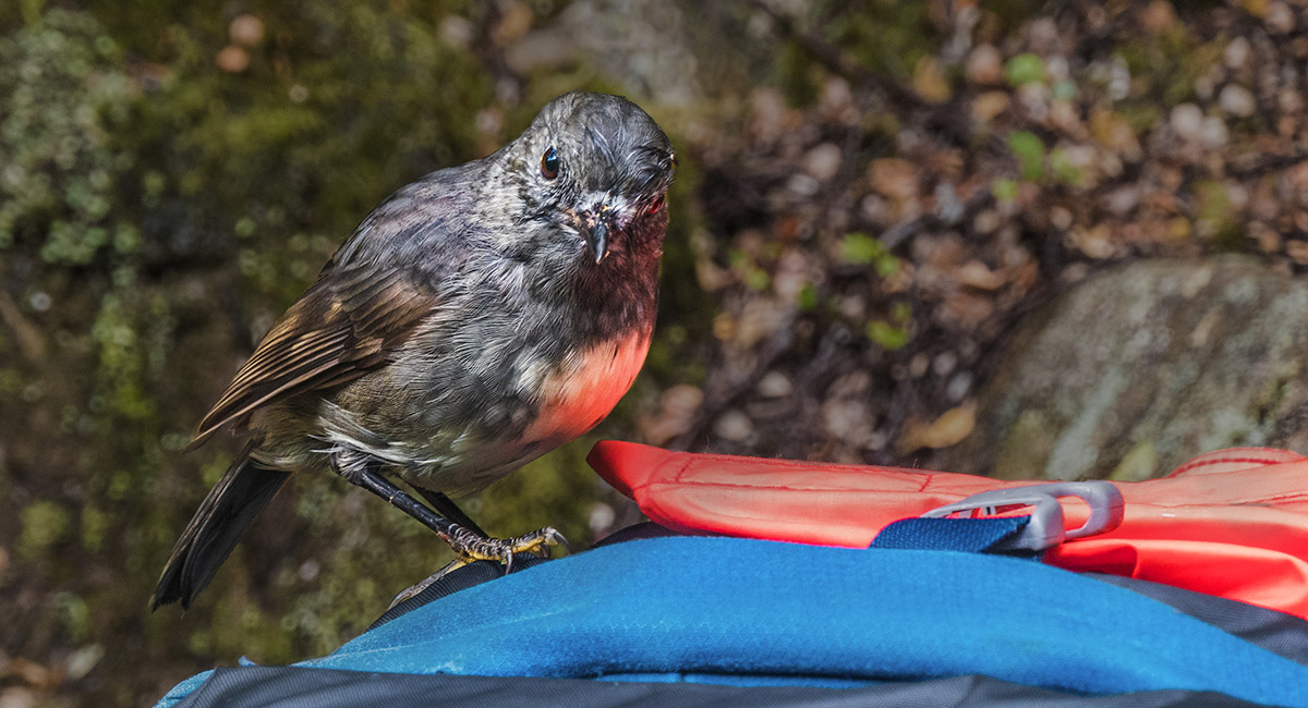
An inquisitive Robin/Toutouwai, near Greenstone Hut

An inquisitive Robin/Toutouwai, near Greenstone Hut

Greenstone Hut, 520m

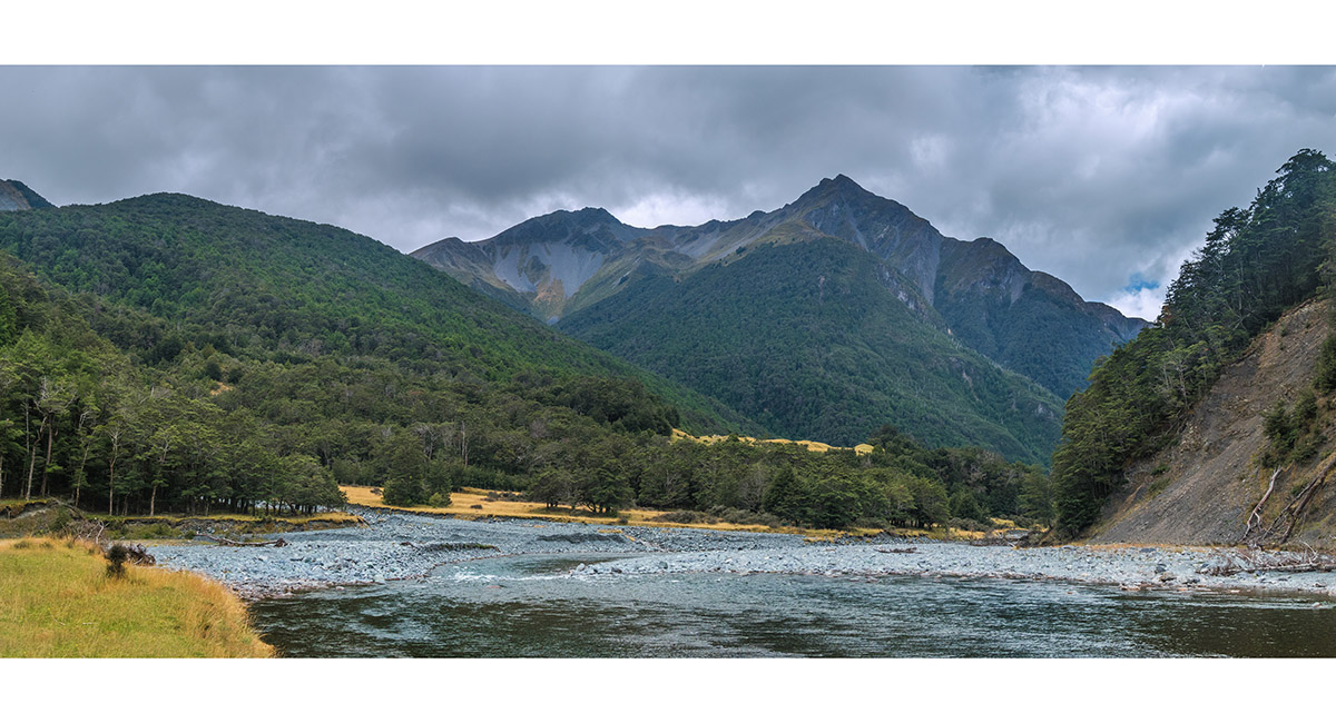
A view southwest, up Greenstone River at about 450m

The Hobbit-like Slip Flat Hut, 460m

At Slip Flat Hut, 460m

Slip Flat Hut, 460m


Inside Slip Flat Hut


Inside Slip Flat Hut

To order a print or web resolution file of any image you see in this slide show, just right click the image, click “Copy Image URL” and paste in to the “Your message” box of our Contact Us form. Please also note, for each image, if you want a print or web resolution file. We will get back to you as soon as possible to confirm price and payment details.
Open Contact Us in a new window to paste Image URL(s) easily
Image specifications, pricing and licensing agreement