Around Lake Coleridge, May 2021
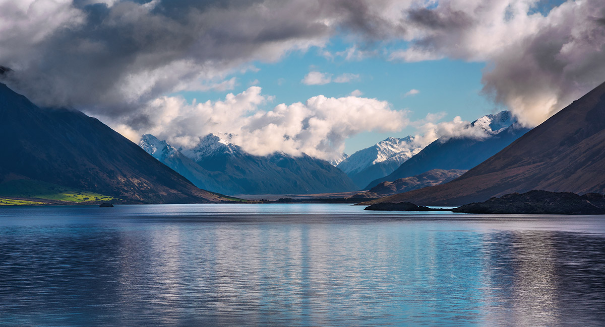
Looking north, up Lake Coleridge (550m), from the power station inlet

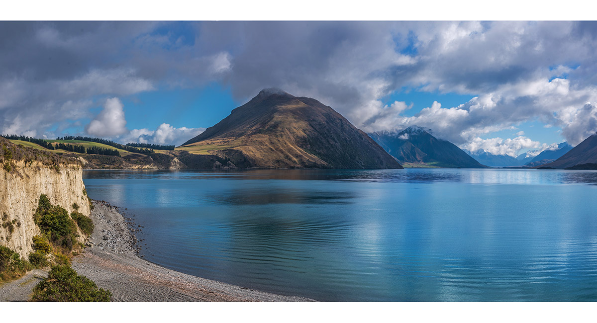
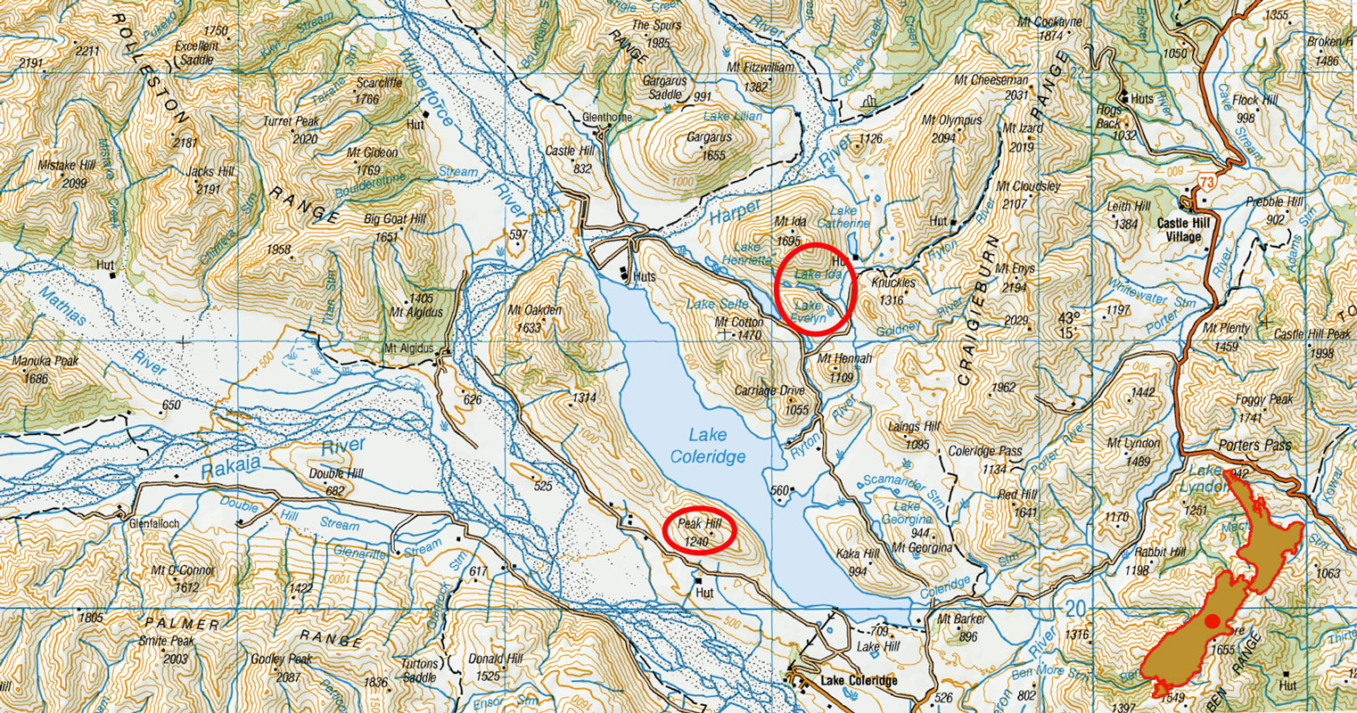
Looking north, up Lake Coleridge, from above the power station inlet. Peak Hill (1,240m) centre

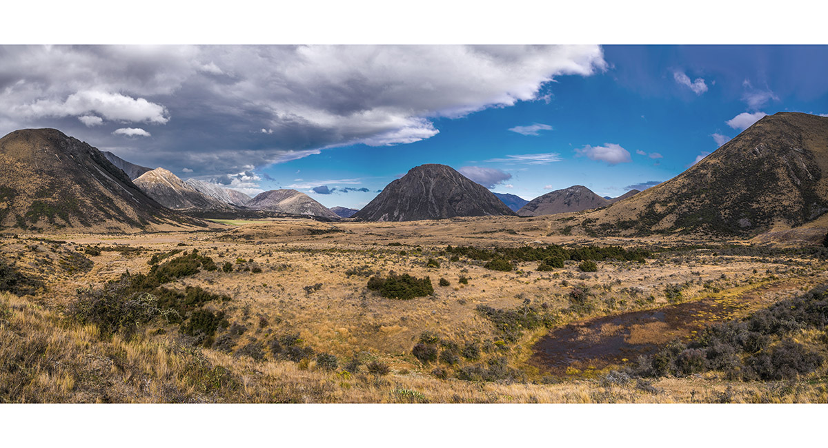
The view southeast from 1,100m on Peak Hill

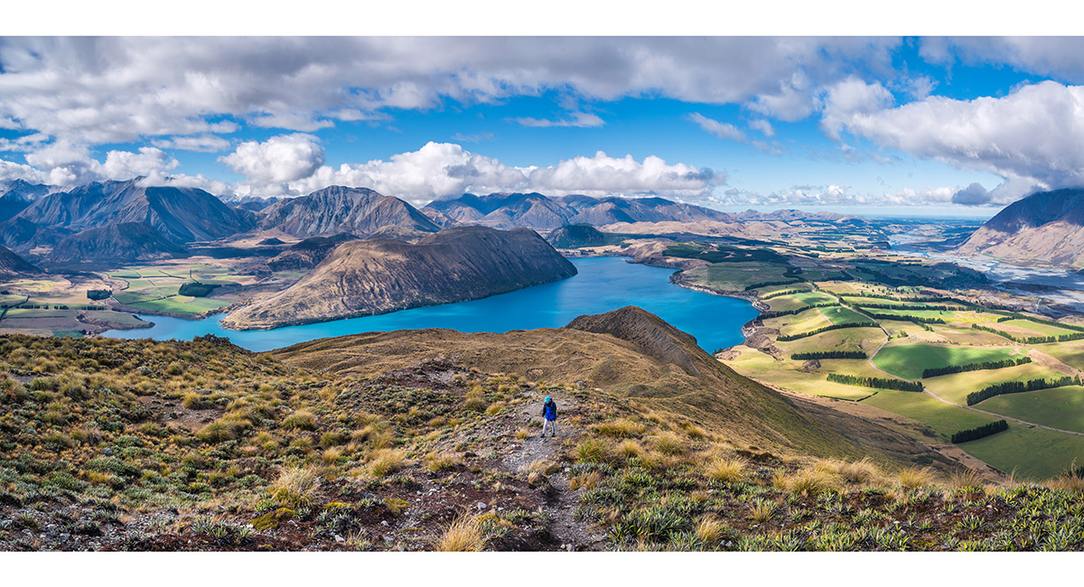
The view southeast to northeast, from 1,240m on Peak Hill

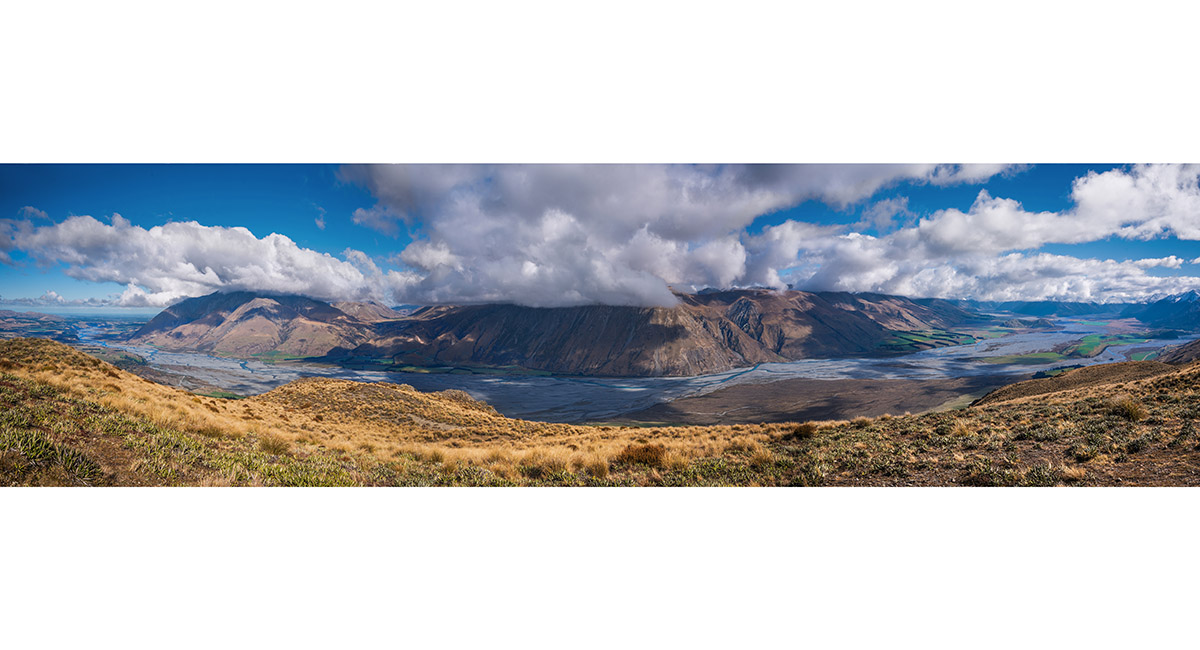
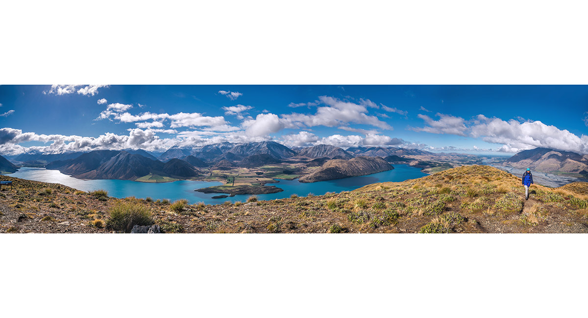
The view southwest to northwest, to the Rakaia River and Palmer Range, from 1,240m on Peak Hill


From near the summit of Peak Hill, looking northeast to Mt Cotton (1,470m) and Mt Ida (1,695m) left and Mt Olympus (2,094m) right. Lake Catherine is in the middle distance

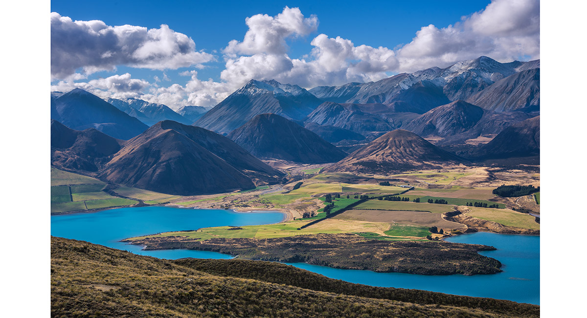
From near the summit of Peak Hill, looking northeast to Mt Ida (1,695m) left, Mt Olympus (2,094m) centre and the Torlesse Range right

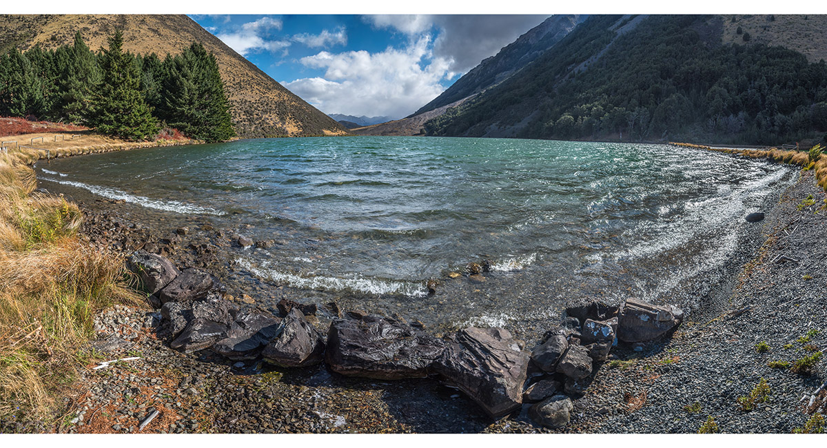
Looking northwest, across Lake Selfe

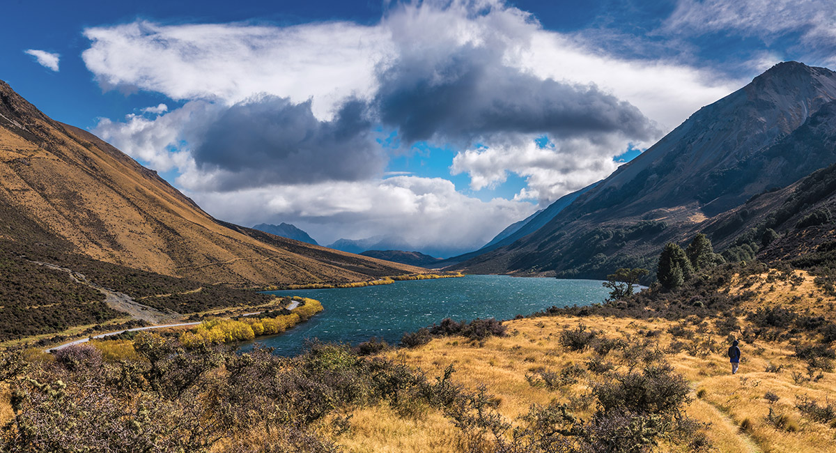
Heading east on the trail to Lake Ida, with Lake Evelyn right

The view west from the east shore of Lake Ida (590m)

The view south from Idaburn, with Mt Hennah (1,109m right) Laings Hil (1,095m distant centre) and Goldney Hill (1,213m left)

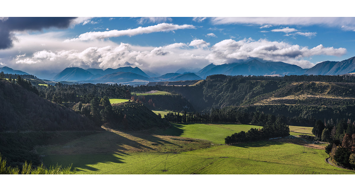
A view north, from near the SH77 crossing of the Rakaia River

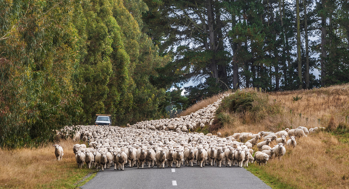
Sheep on the road near Mt Barker

Read about it Worth sweating for # 19 (Peak Hill, Lake Coleridge) NZ Photographer Feb 23
To order a print or web resolution file of any image you see in this slide show, just right click the image, click “Copy Image URL” and paste in to the “Your message” box of our Contact Us form. Please also note, for each image, if you want a print or web resolution file. We will get back to you as soon as possible to confirm price and payment details.
Open Contact Us in a new window to paste Image URL(s) easily