Hanmer Springs winter
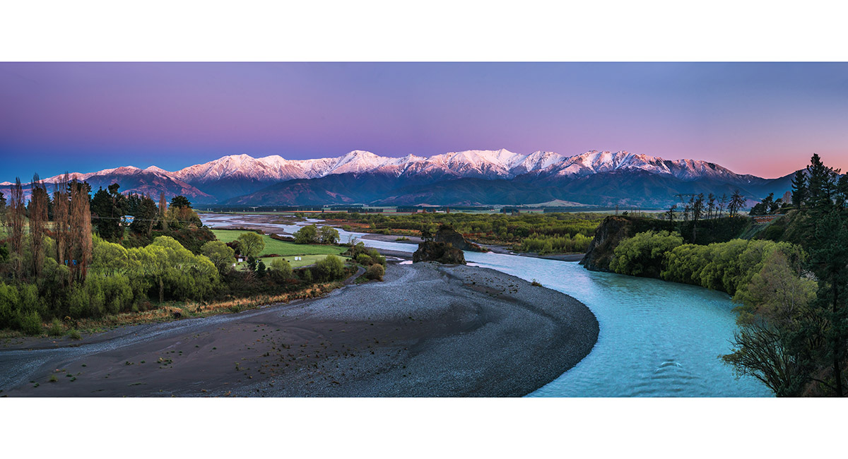
A dawn view north to the Hanmer Range from near the Waiau Ferry Bridge on the outskirts of Hanmer Springs

A dawn view north to the Hanmer Range from near the Waiau Ferry Bridge on the outskirts of Hanmer Springs

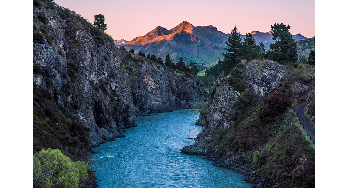
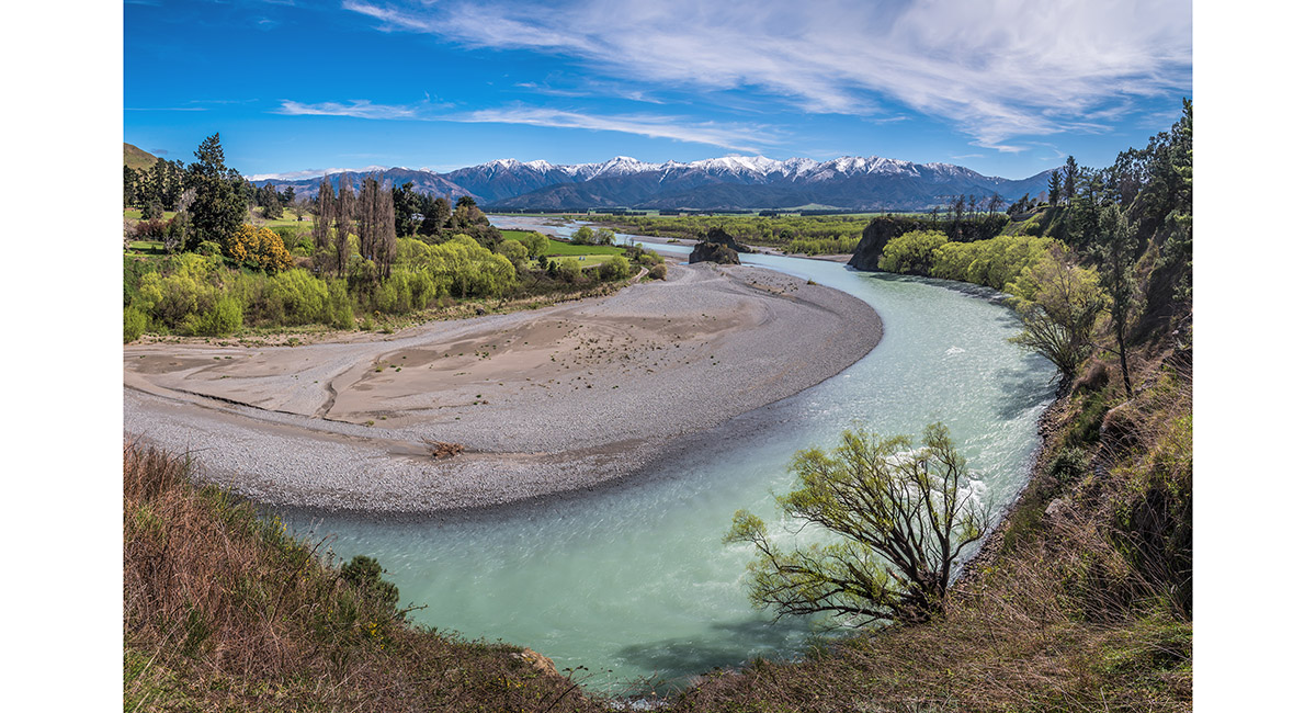
A dawn view south from the Waiau Ferry Bridge on the outskirts of Hanmer Springs

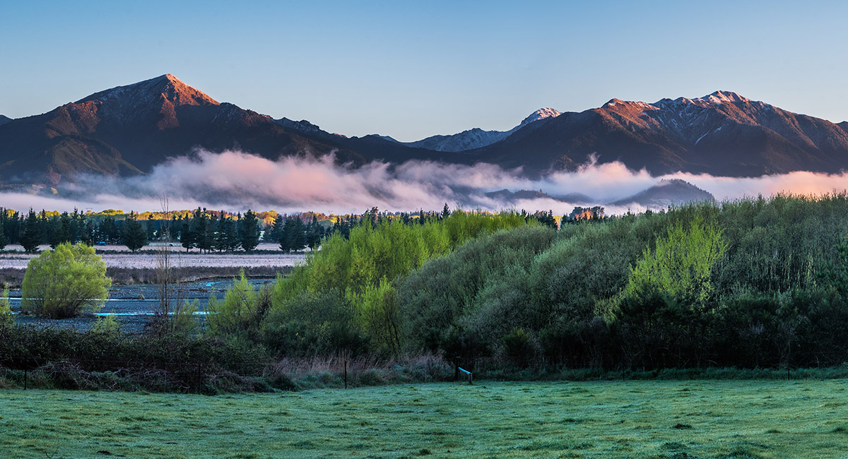
A dawn view north to the Hanmer Range from the outskirts of Hanmer Springs

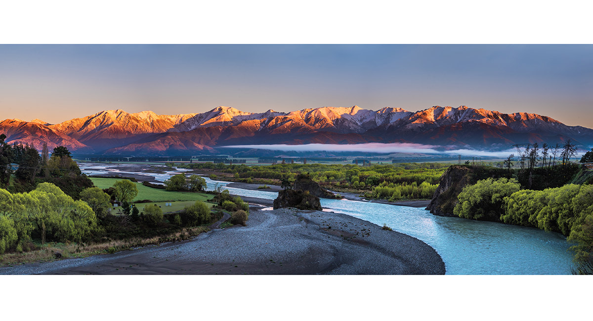
A view north to the Hanmer Range from near the Waiau Ferry Bridge on the outskirts of Hanmer Springs

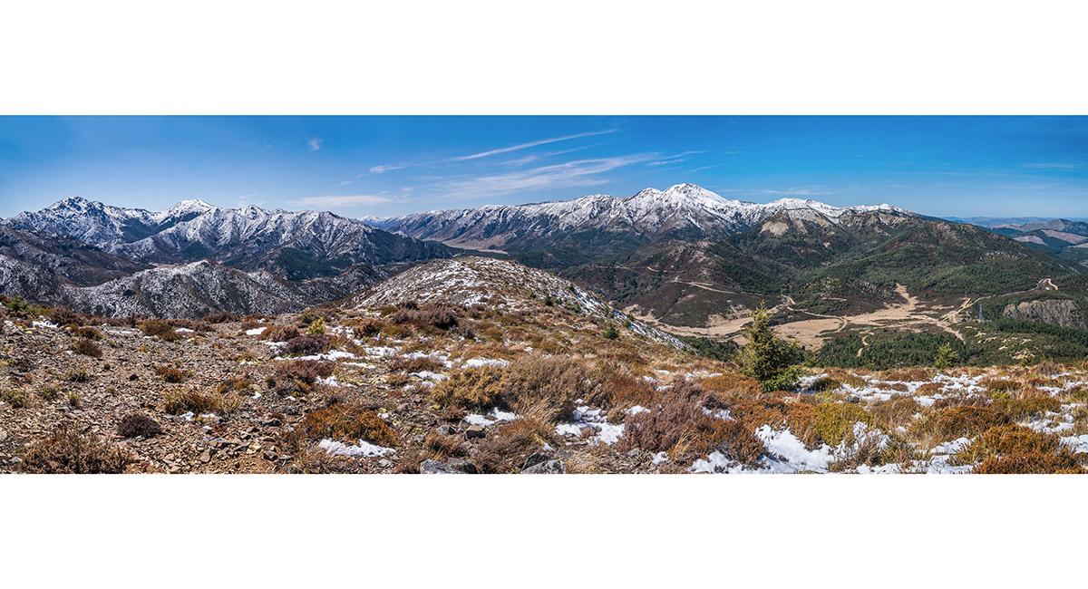
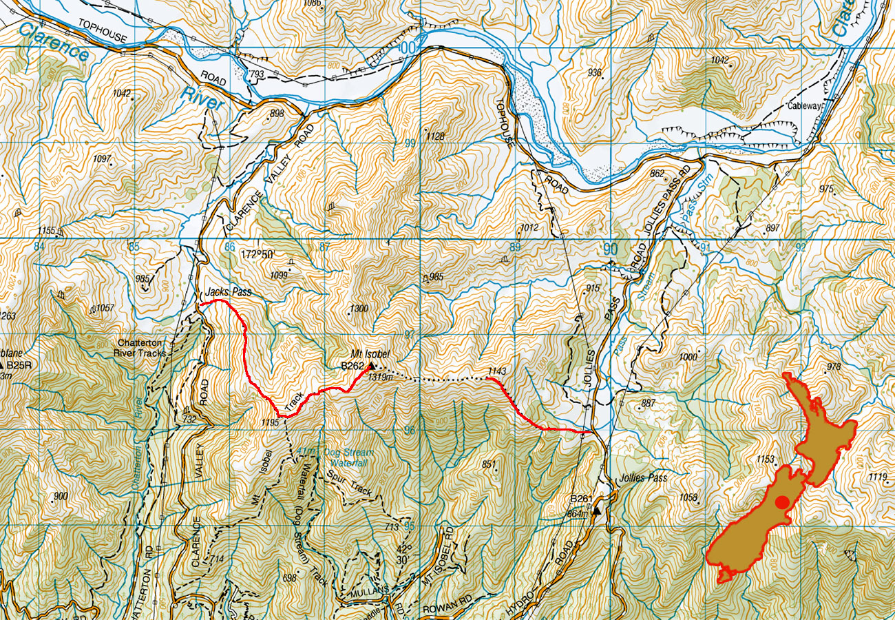
Looking north east from 1,143m, above Jollies Pass (820m)

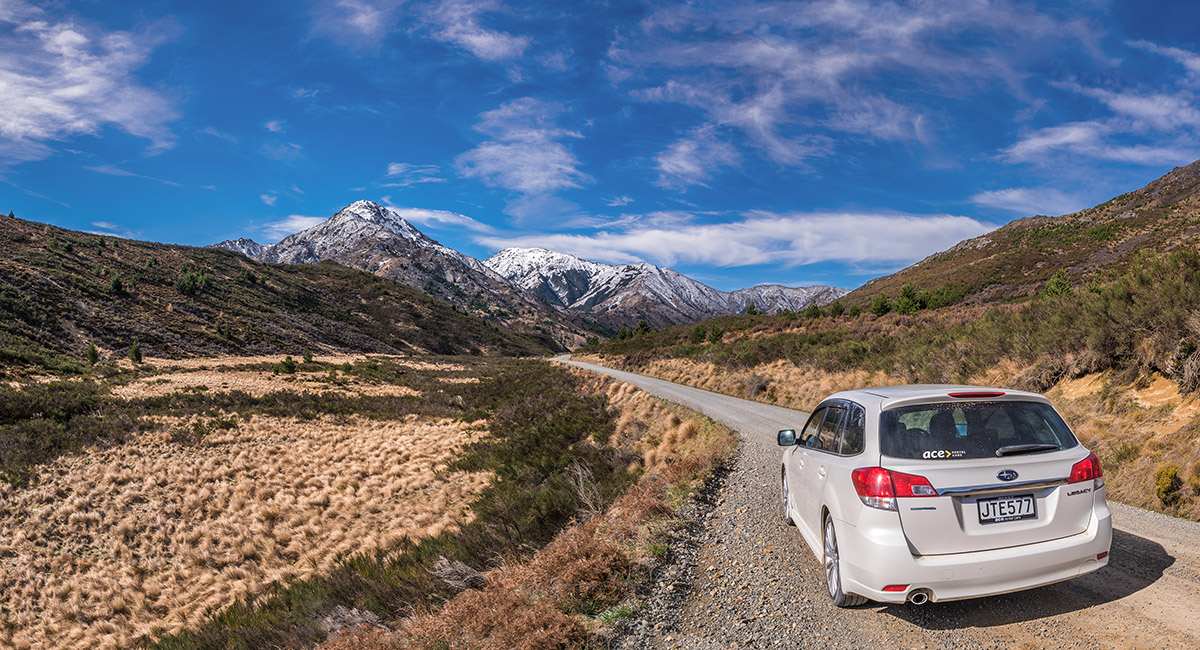
Looking north along Clarence Valley Road, north of Jacks Pass, to Maukuratawhai (1,615m)

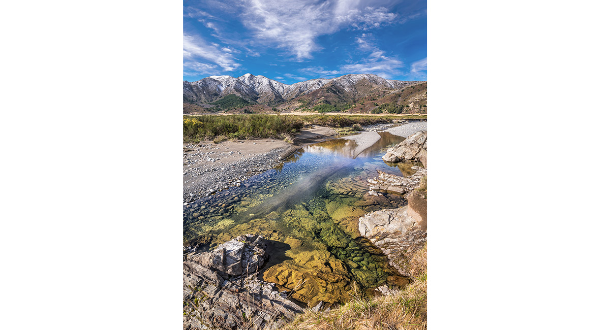
A view north from Tophouse Road, beside the Clarence River

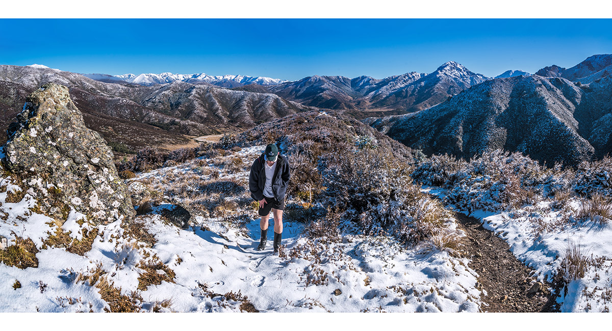
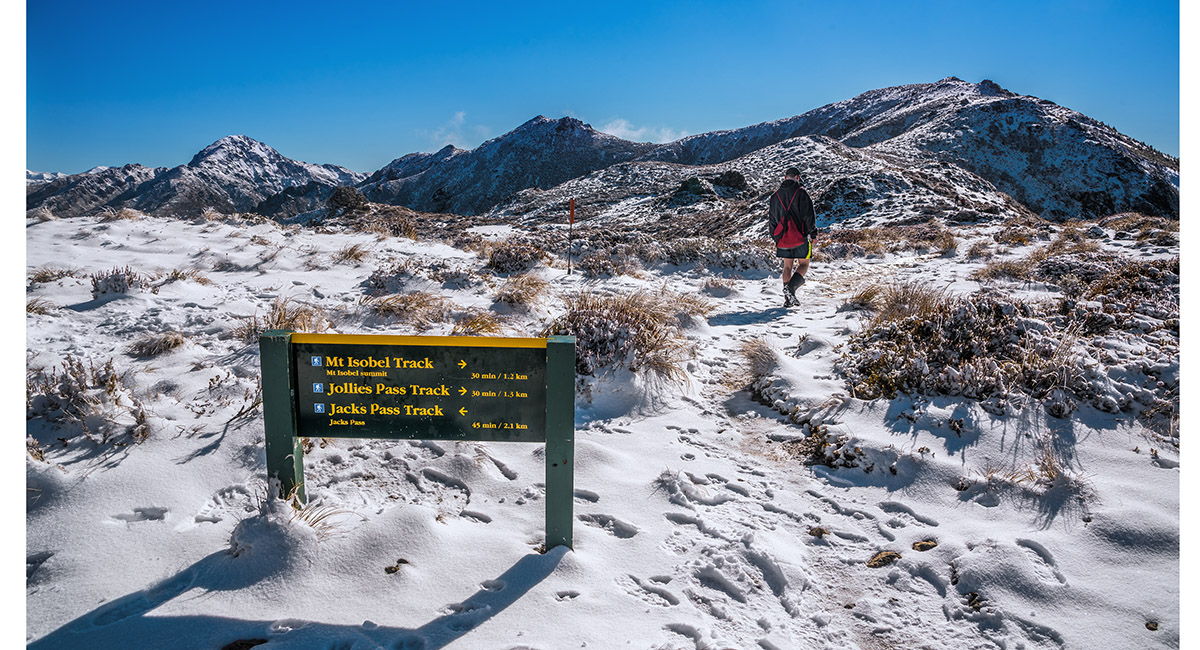
At about 900m on the trail above Jacks Pass (870m) to Mt Isobel (1,319m), looking north

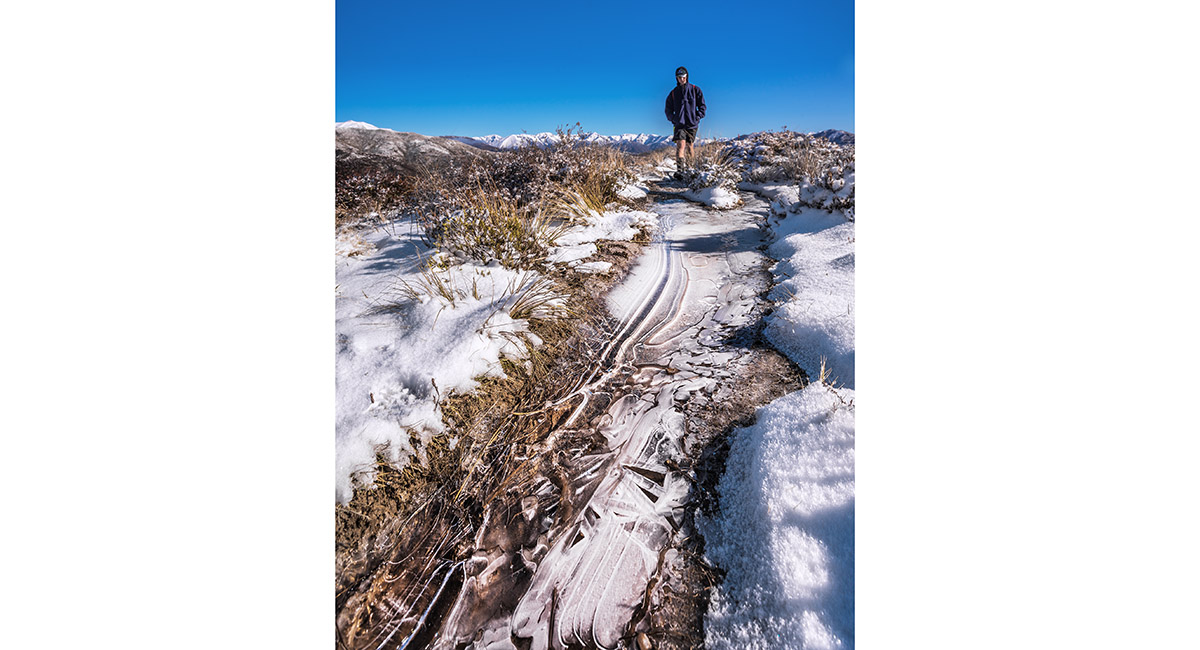
Ice on the trail at about 1,000m on the trail above Jacks Pass to Mt Isobel

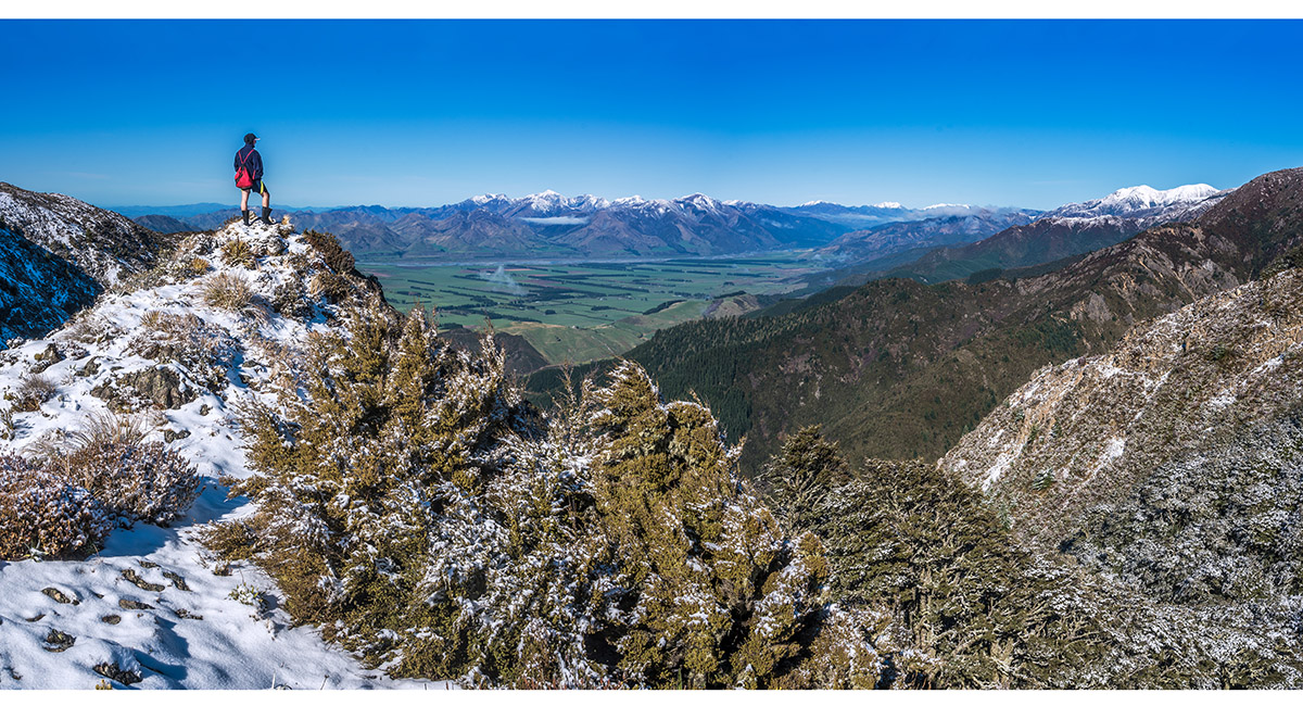
At 1,100m on the Jacks Pass to Mt Isobel trail, looking southwest, across the Hanmer Basin to the Organ Range

At 1,150m on the Jacks Pass to Mt Isobel trail, looking north to the St James Range (left) and Maukuratawhai (right - 1,615m)

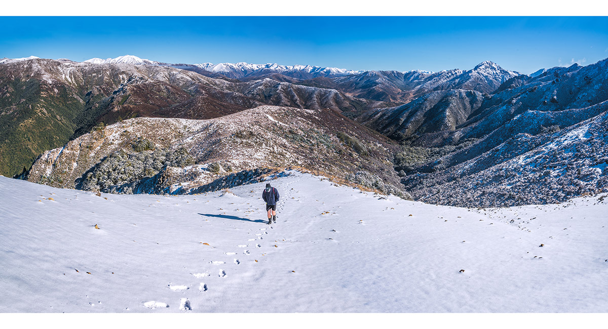
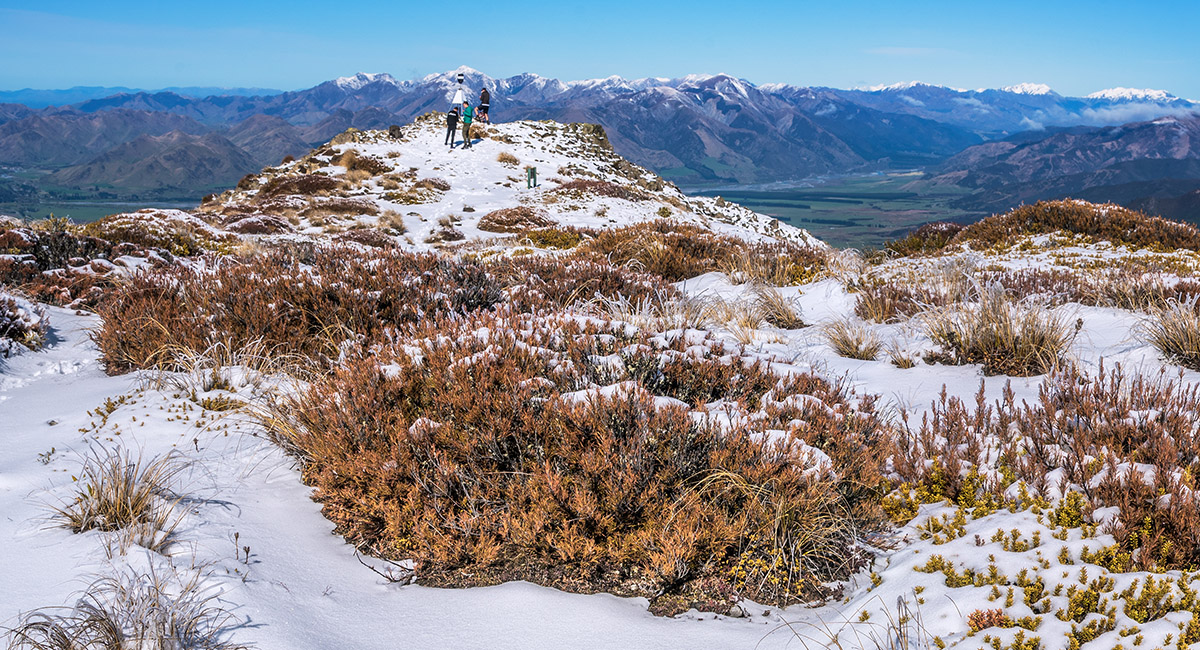
At 1,200m on the Jacks Pass to Mt Isobel trail, looking northeast to Mt Isobel (right - 1,319m)

The summit of Mt Isobel, with the Organ Range behind

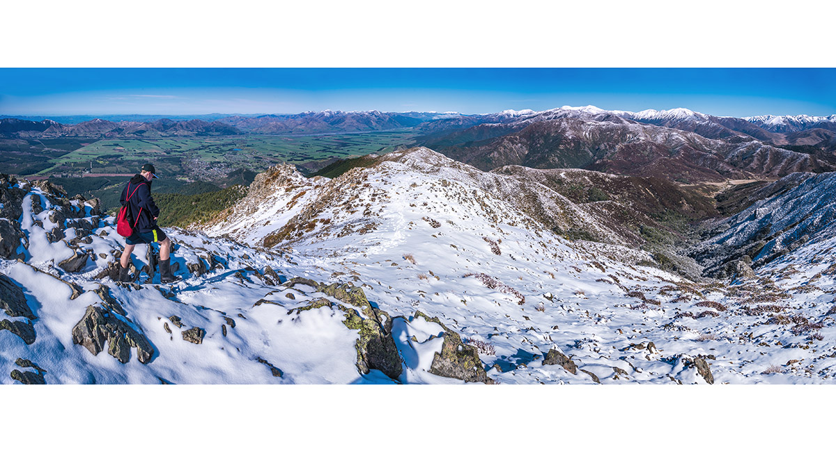
Departing Mt Isobel's summit, with Hanmer Springs top left, the Organ Range centre, Jacks Pass and distant Opera and Liberto Ranges right

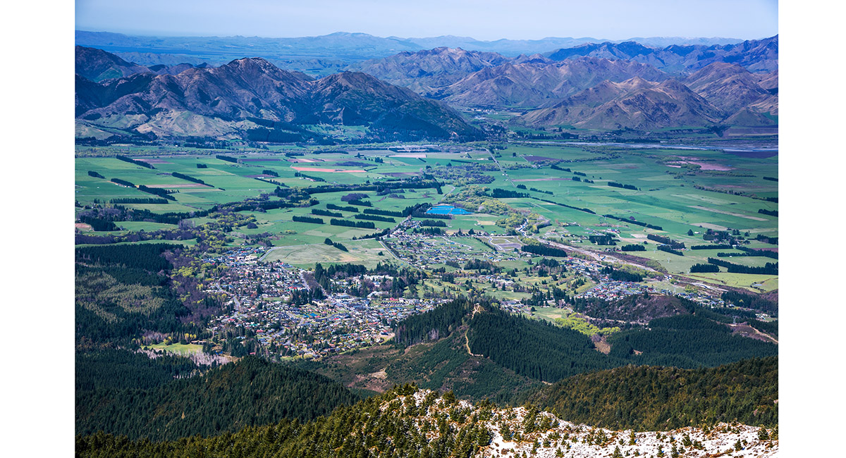
Hanmer Springs, viewed from near Mt Isobel

Read about it Mt Isobel Wilderness Magazine Aug 2021
To order a print or web resolution file of any image you see in this slide show, just right click the image, click “Copy Image URL” and paste in to the “Your message” box of our Contact Us form. Please also note, for each image, if you want a print or web resolution file. We will get back to you as soon as possible to confirm price and payment details.
Open Contact Us in a new window to paste Image URL(s) easily