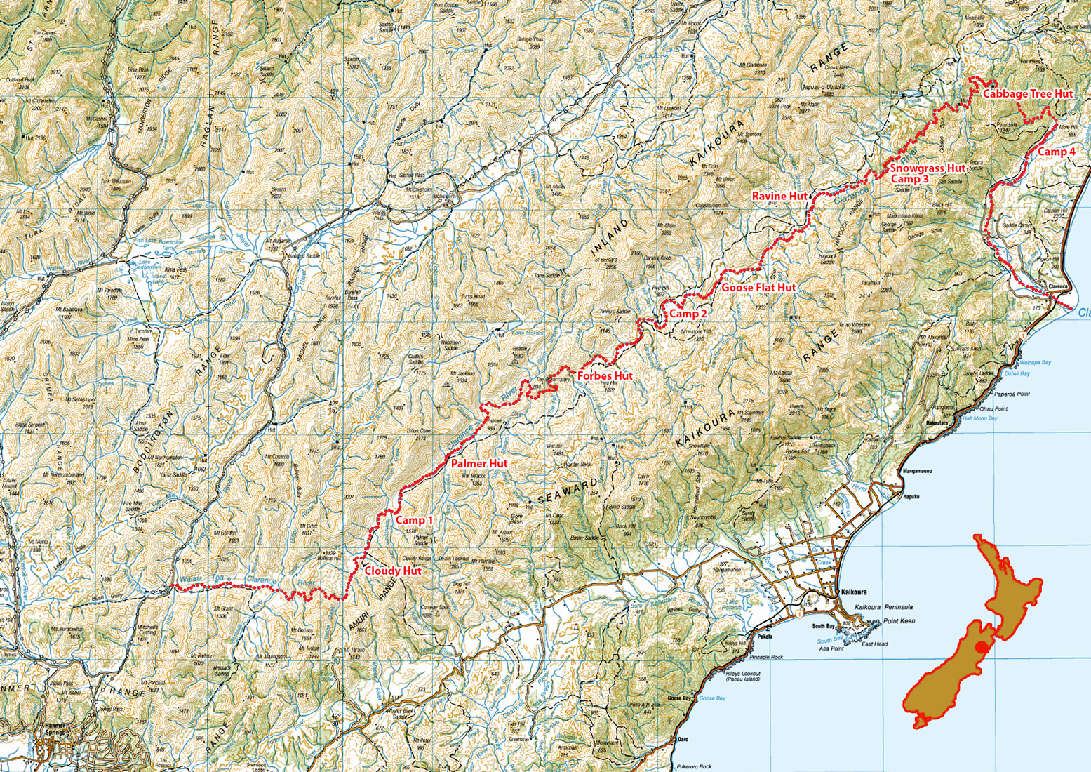
Clarence River rafting, January 2021

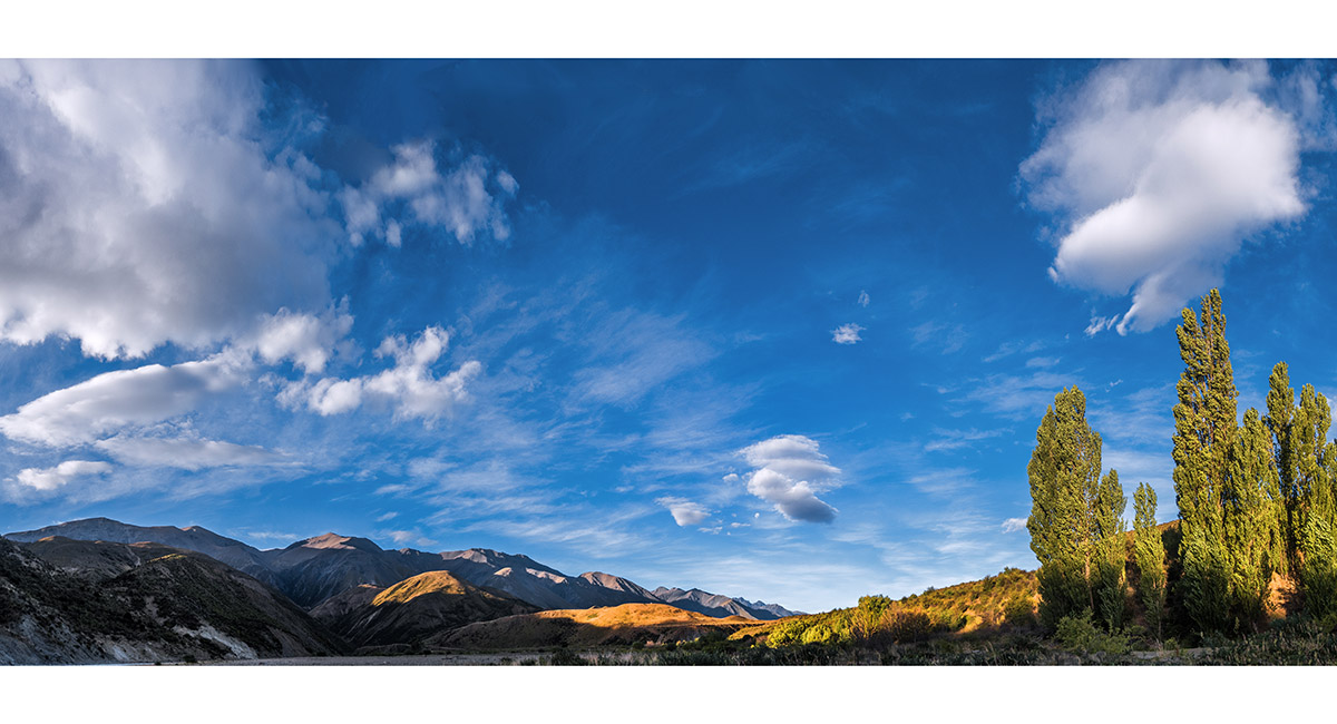
Sunset beside the Clarence, just up from the SH1 bridge at the coast

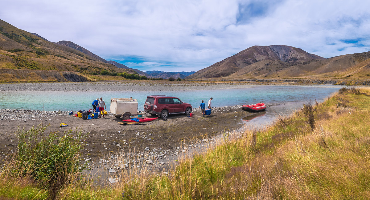
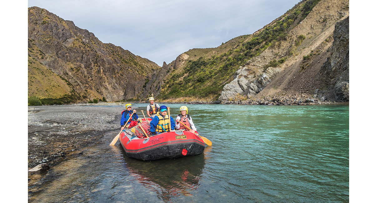
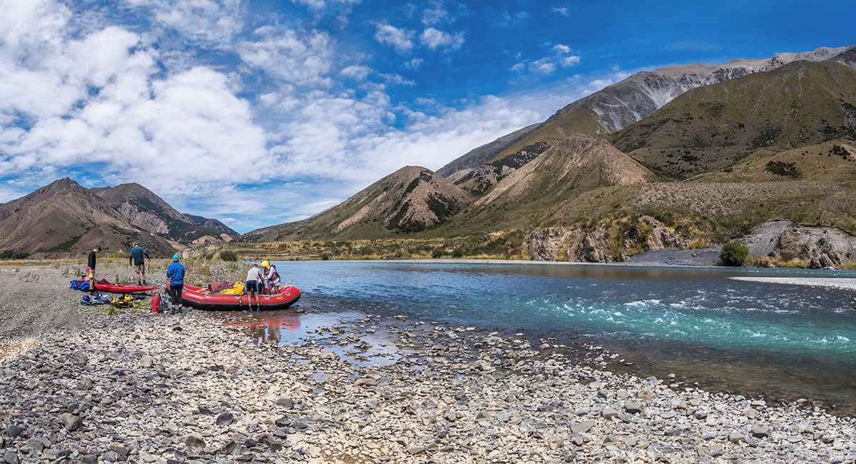
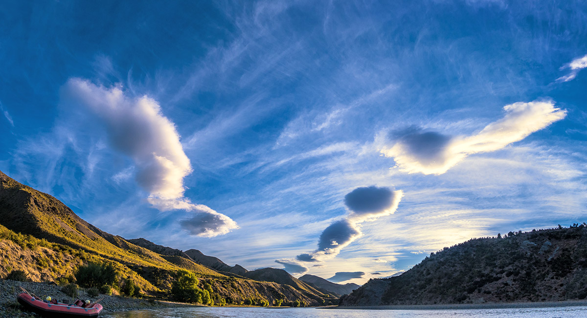
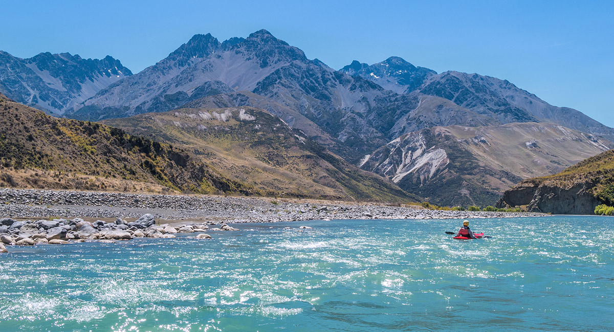
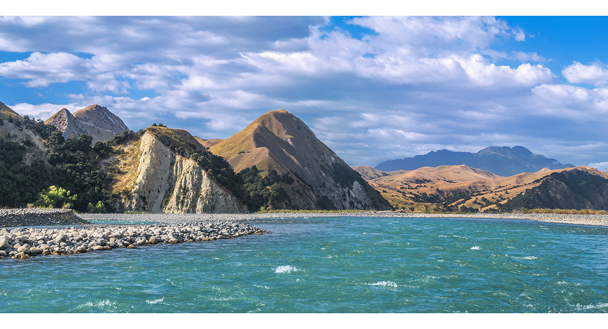
Getting ready to set off, at the confluence of the Clarence and Acheron rivers


A narrower section on the upper river


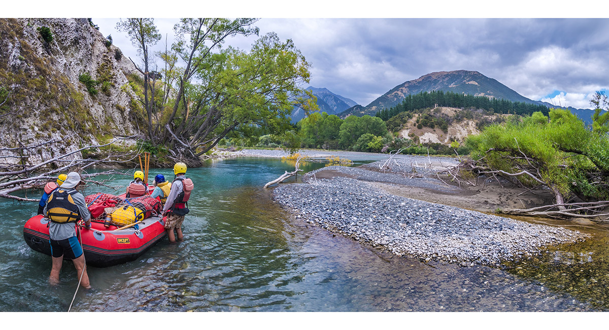
One of a few points where we disembarked to scout the route ahead. Day 1 featured some of the most challenging sections

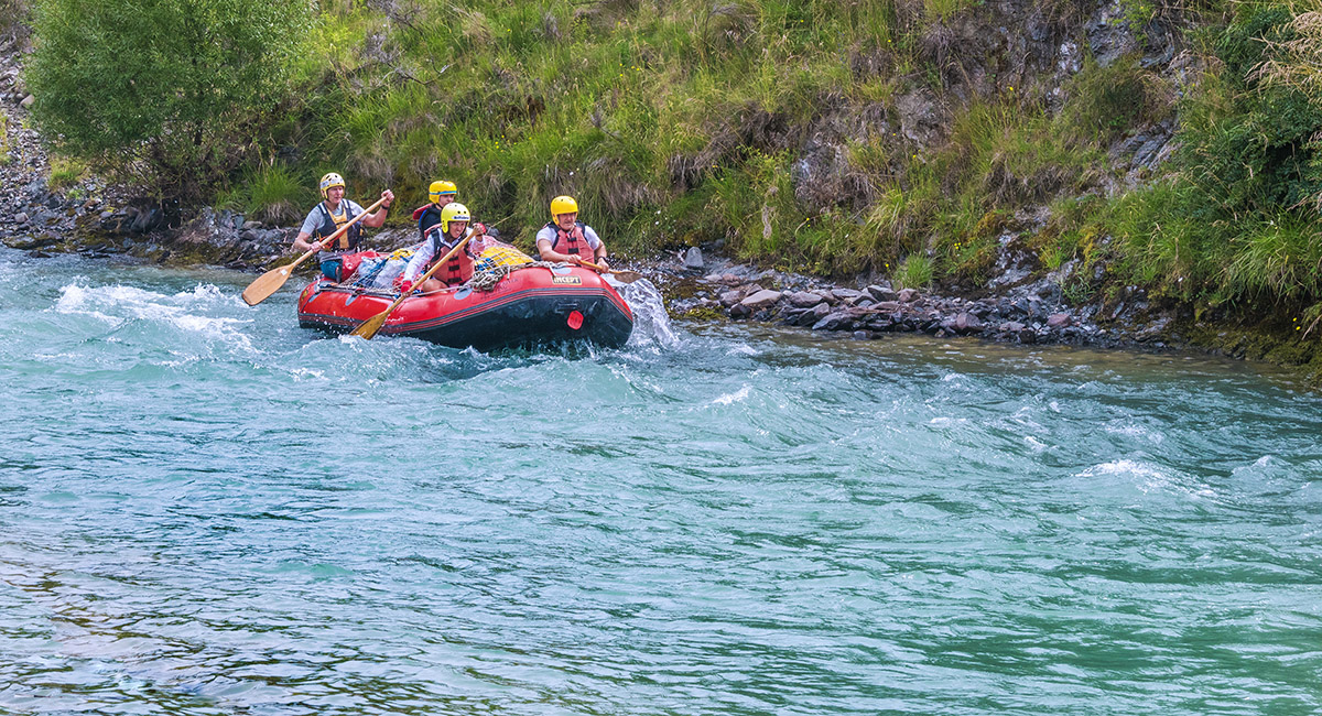
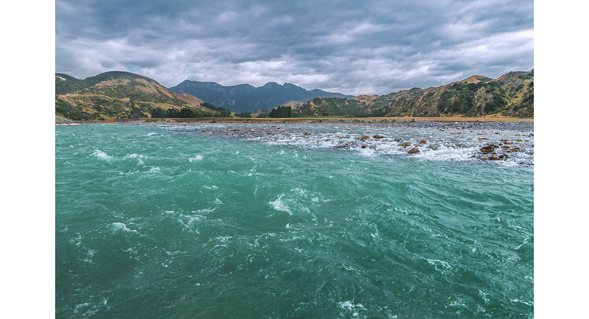
A fun swifter section

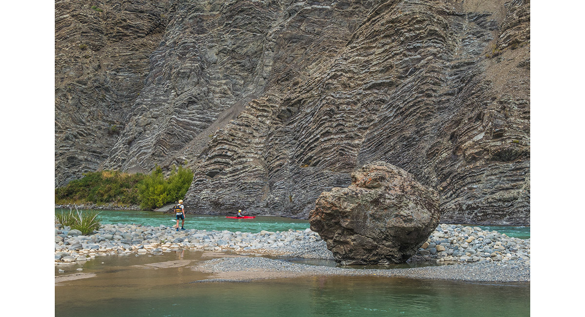
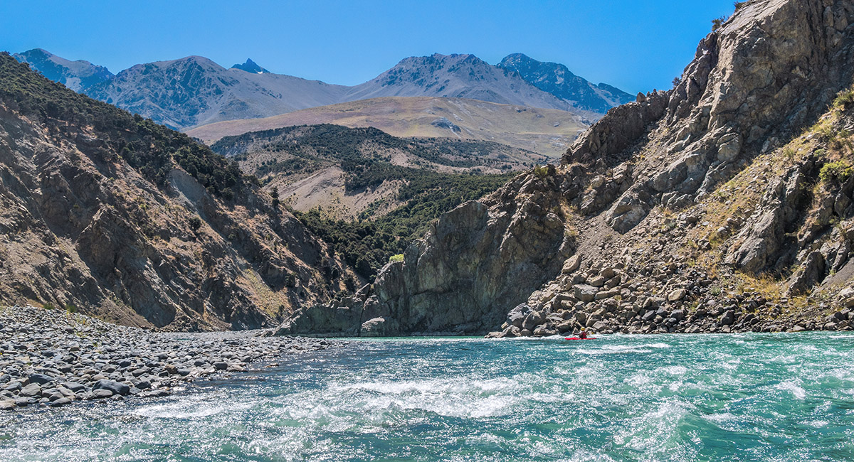
Scouting the route to the 'Chute', deemed the crux of the entire journey. Here is a nice example of the geomorphic rock formations beside the upper river

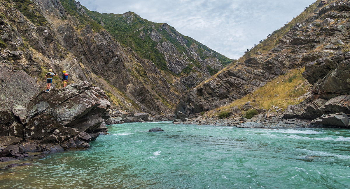
Looking at the Chute

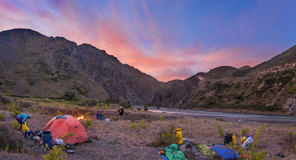
At our campsite beside the true right of the river, end of Day 1 - about 4.5 hours of rafting

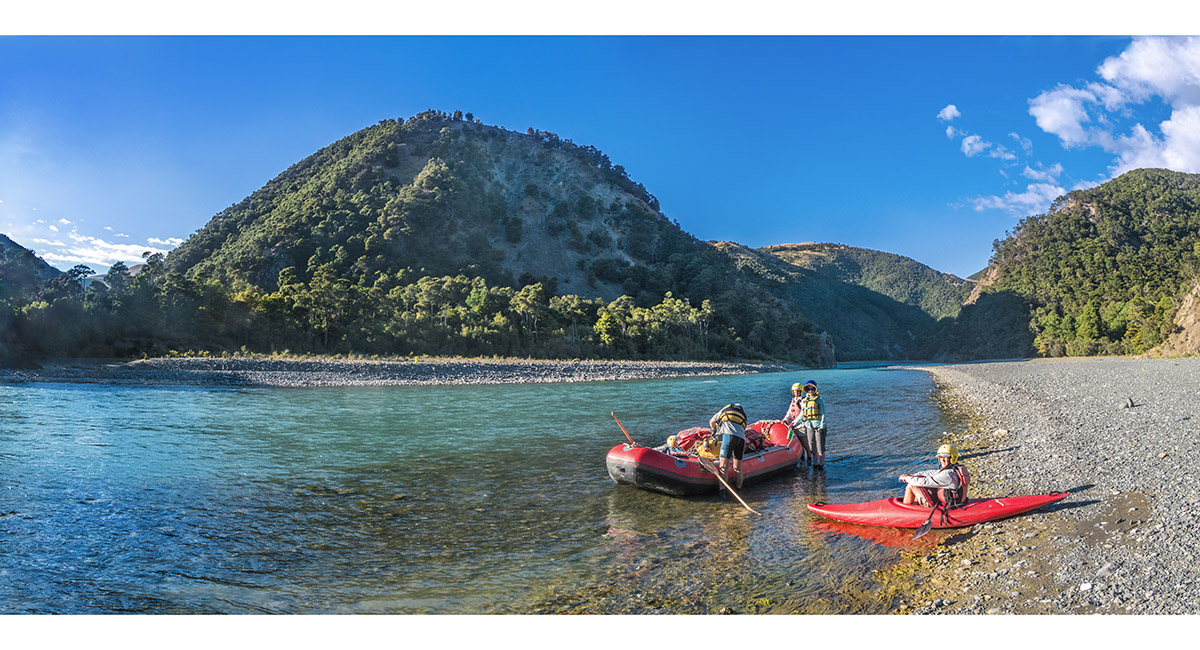
Preparing to set off, beginning of Day 2

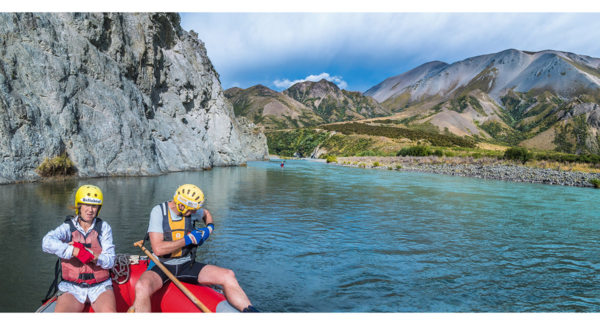
Enjoying a calm section


A bit more action on this section

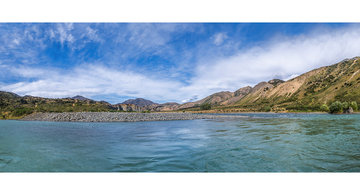
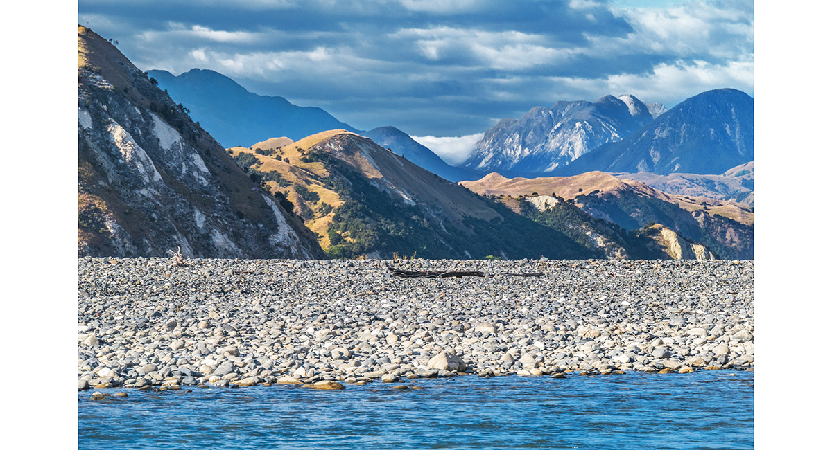
A wide basin offering panoramic landscapes, which contrasted with other sections hemmed in by steep cliffs


The riverside, below Palmer Hut

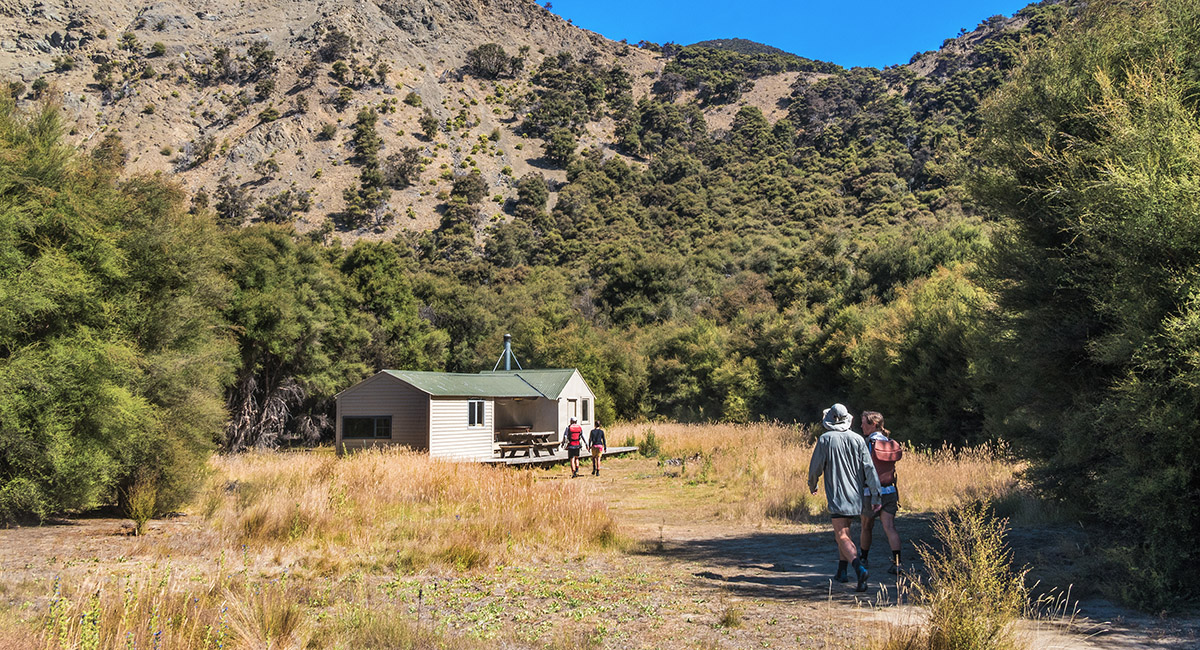
Our setdown point beneath Palmer Hut


Palmer Hut, stopping for lunch on Day 2


Back on the river heading northeast

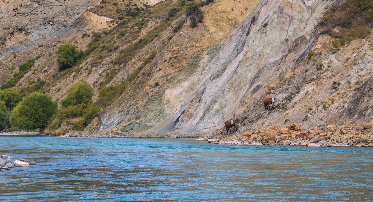
Intrepid cows on the true right of the river


One of many Willows along the journey

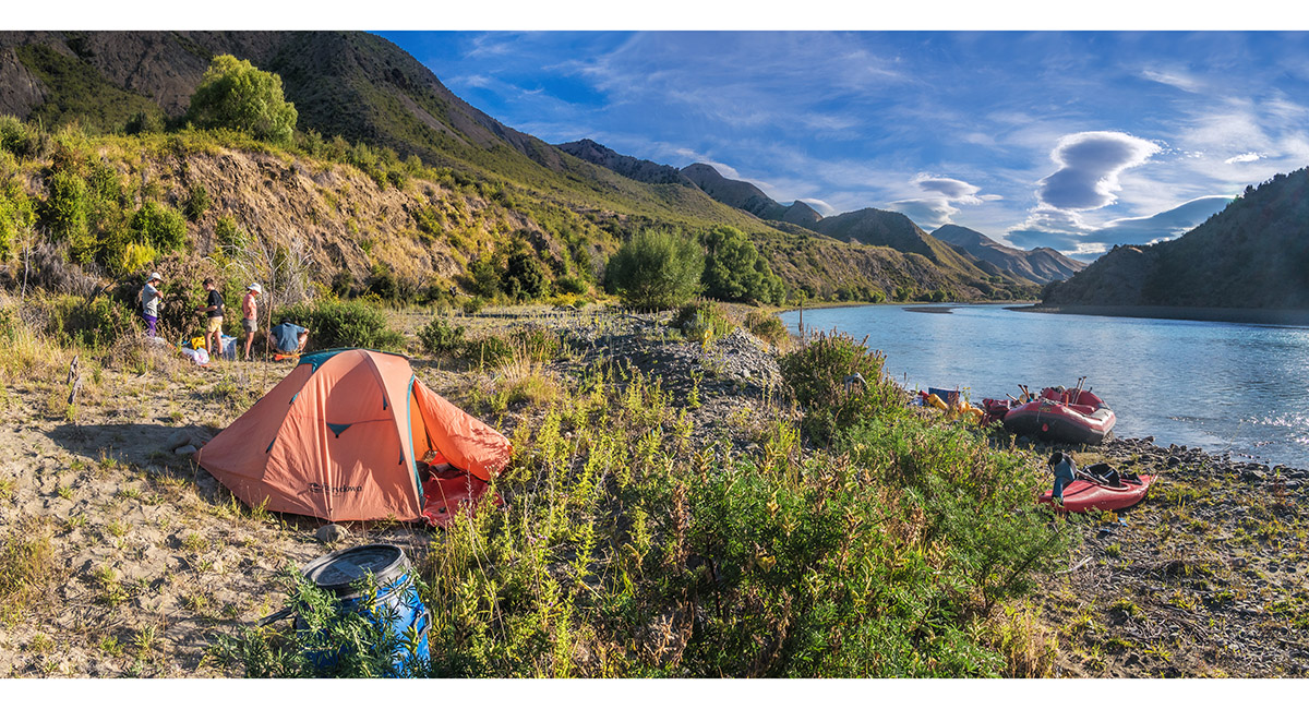
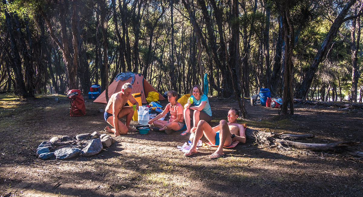
At our campsite beside the true right of the river, end of Day 2 - about 9 hours of rafting

At our campsite beside the river, end of Day 2

Sunset, looking north to the inland Kaikouras

Sunset, looking south back upriver


Sunset, looking north to the inland Kaikouras


Sunset, looking north to the inland Kaikouras. Tapuae o Uenuku is the dark pyramid left of centre

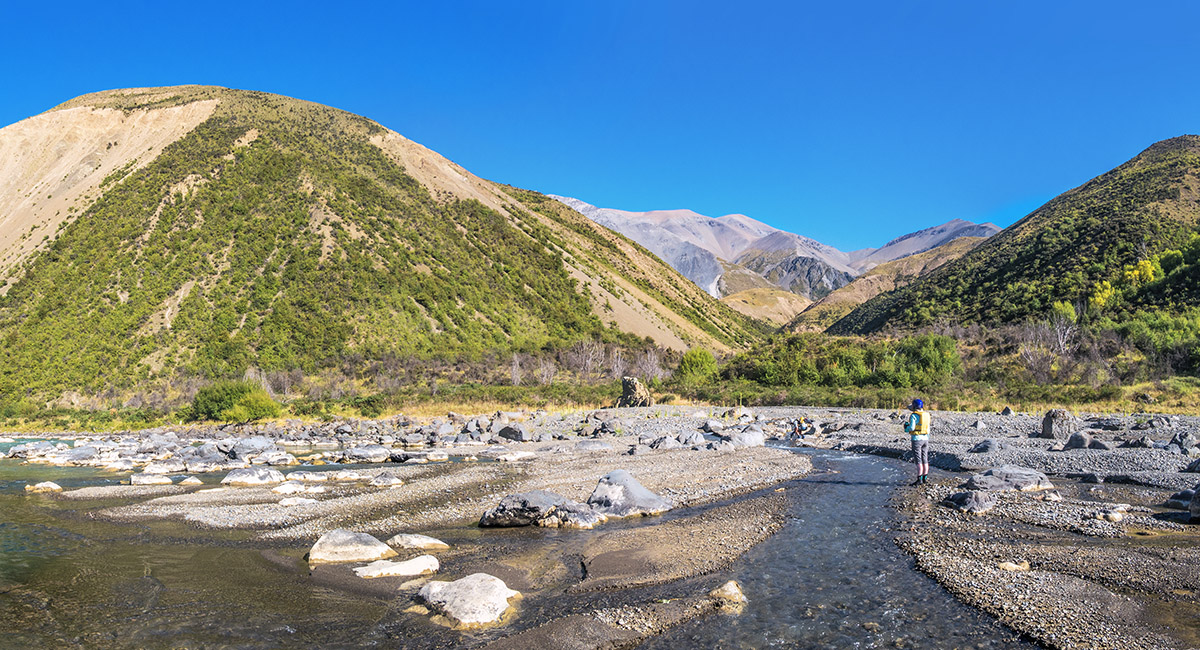
A stop to get water from a tributary stream on Day 3. Clarence's water was ok to drink but not as clear as some of the tributaries

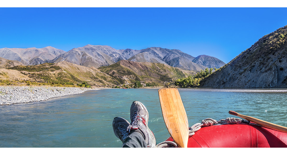
The calm water position


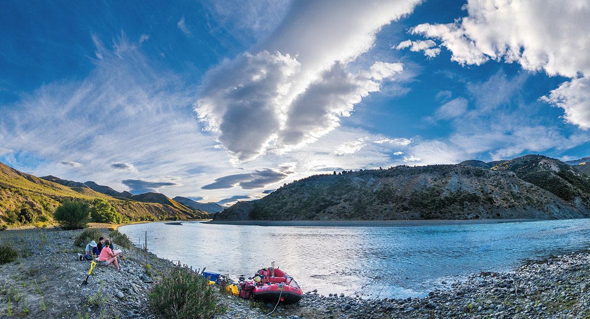
At our lunch spot, Day 3

A fun swifter section

A fun swifter section

Snowgrass Hut, end of Day 3 - about 7 hours of rafting

At our campsite near Snowgrass Hut, end of Day 3


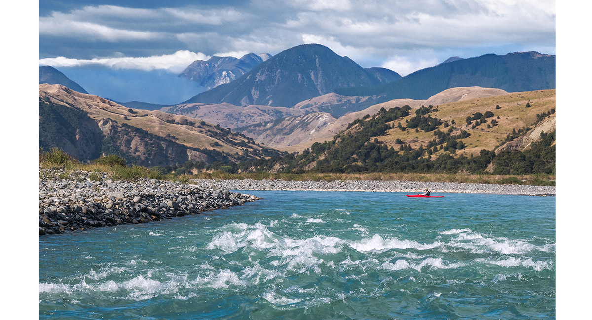
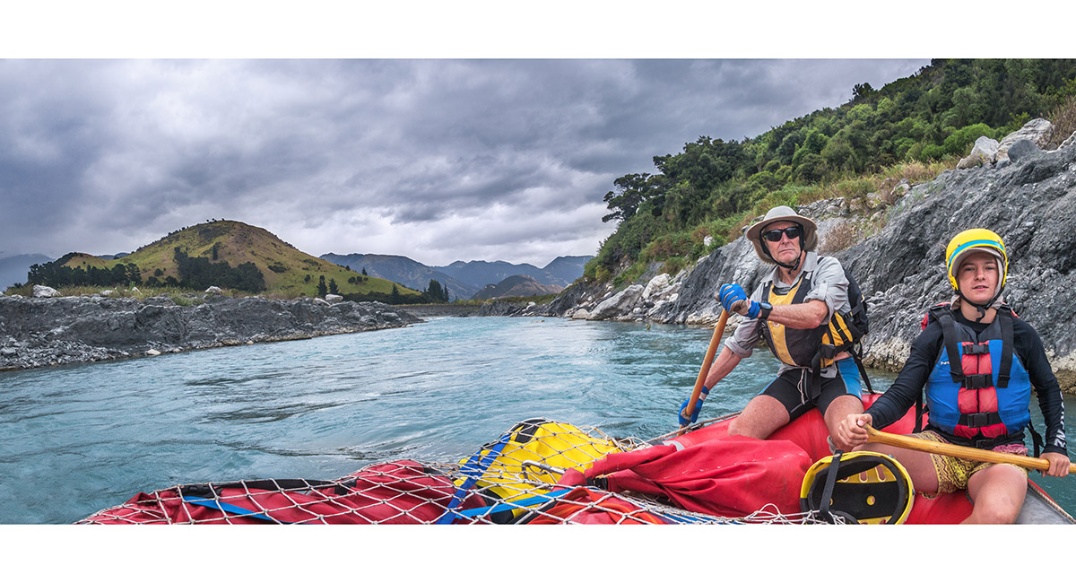
Other rafters on the river, Day 4


Other rafters on the river

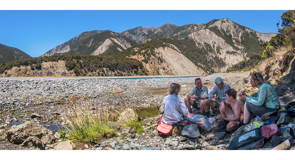
At our lunch spot, Day 4


At our campsite beside the river, end of Day 4 - about 6.5 hours of rafting


Sunset from our campsite

Preparing to set off, beginning of Day 5


The scenery on Day 5 above the farmland was some of the most beautiful of the journey


Looking southwest to the seaward Kaikouras

Looking southwest to the seaward Kaikouras

Looking southwest to the seaward Kaikouras

Looking southwest to the seaward Kaikouras

We had to line the raft through this treacherous section of submerged Willow roots


Signs of farming country on the lower section of the river - sheep sheltering from the wind

A view west as the river broadens out near the coast

Looking west back upriver


Looking west

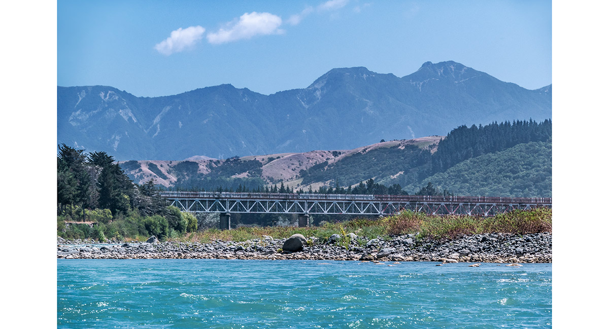
Looking west to the rail bridge near SH1

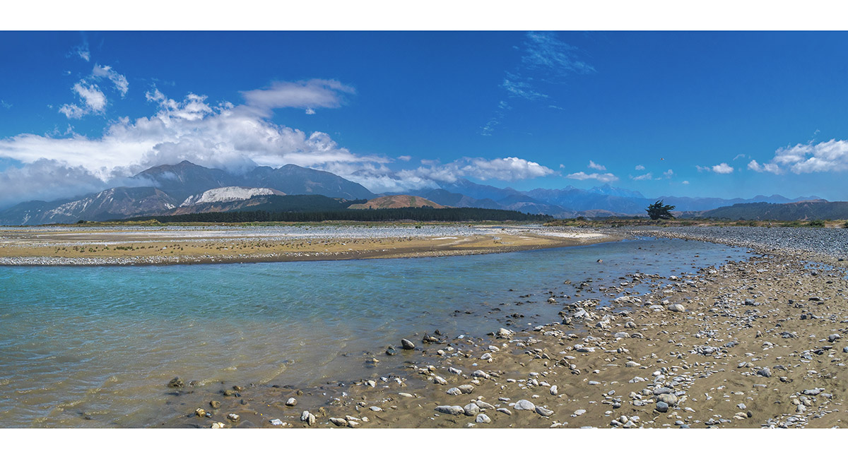
Looking west from the river mouth


The team at the completion of our journey, at the river mouth, midday, Day 5

Read about it Paddling between giants Wilderness Magazine Nov 2021
To order a print or web resolution file of any image you see in this slide show, just right click the image, click “Copy Image URL” and paste in to the “Your message” box of our Contact Us form. Please also note, for each image, if you want a print or web resolution file. We will get back to you as soon as possible to confirm price and payment details.
Open Contact Us in a new window to paste Image URL(s) easily