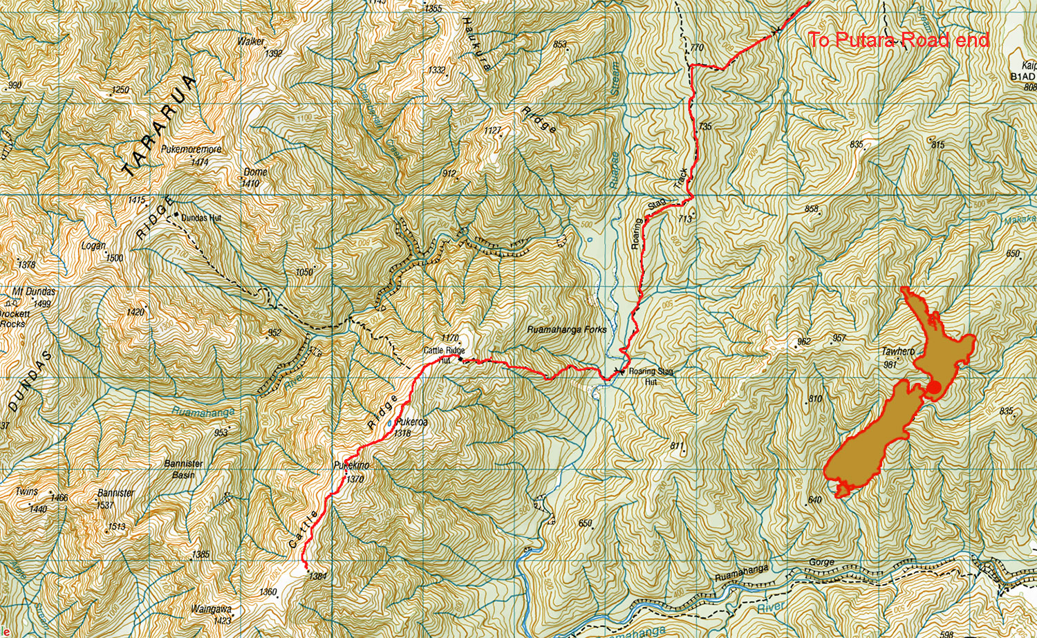
Cattle Ridge, February 2018

The second swing bridge (400m) above the Putara Road end

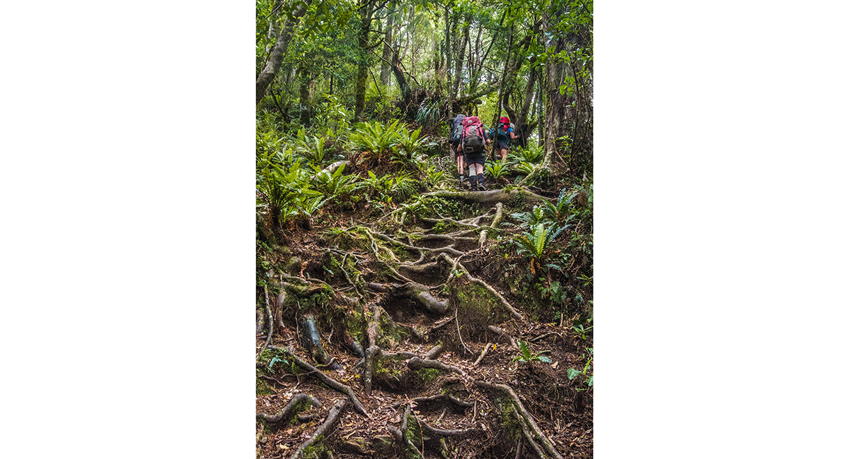
At about 550m before the Roaring Stag / Herepai junction

At the Roaring Stag / Herepai junction

At the Roaring Stag / Herepai junction


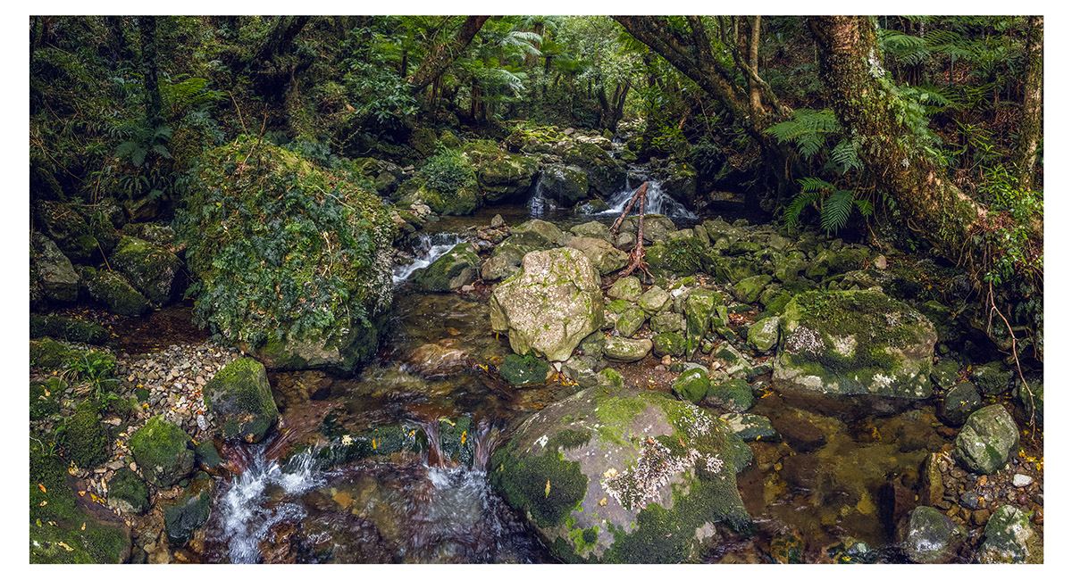
A tributary stream to the Ruamahanga River, near Roaring Stag Hut

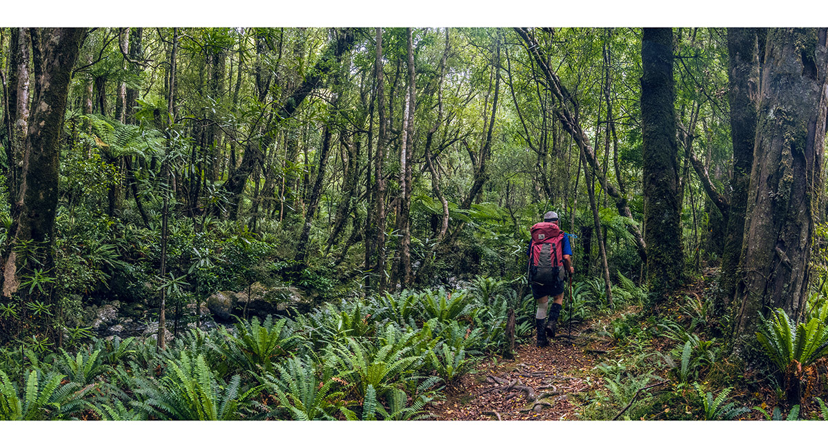
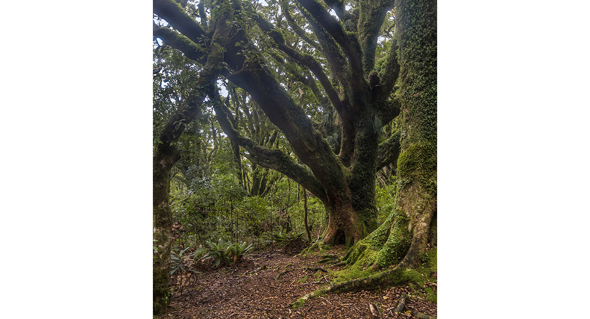
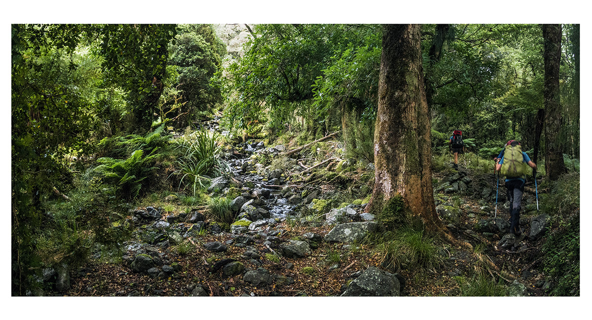
On the trail near Roaring Stag Hut

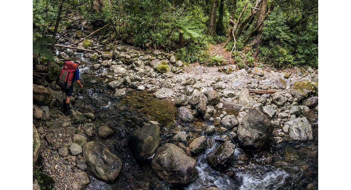
Crossing a tributary stream near Roaring Stag Hut

A tributary stream near Roaring Stag Hut

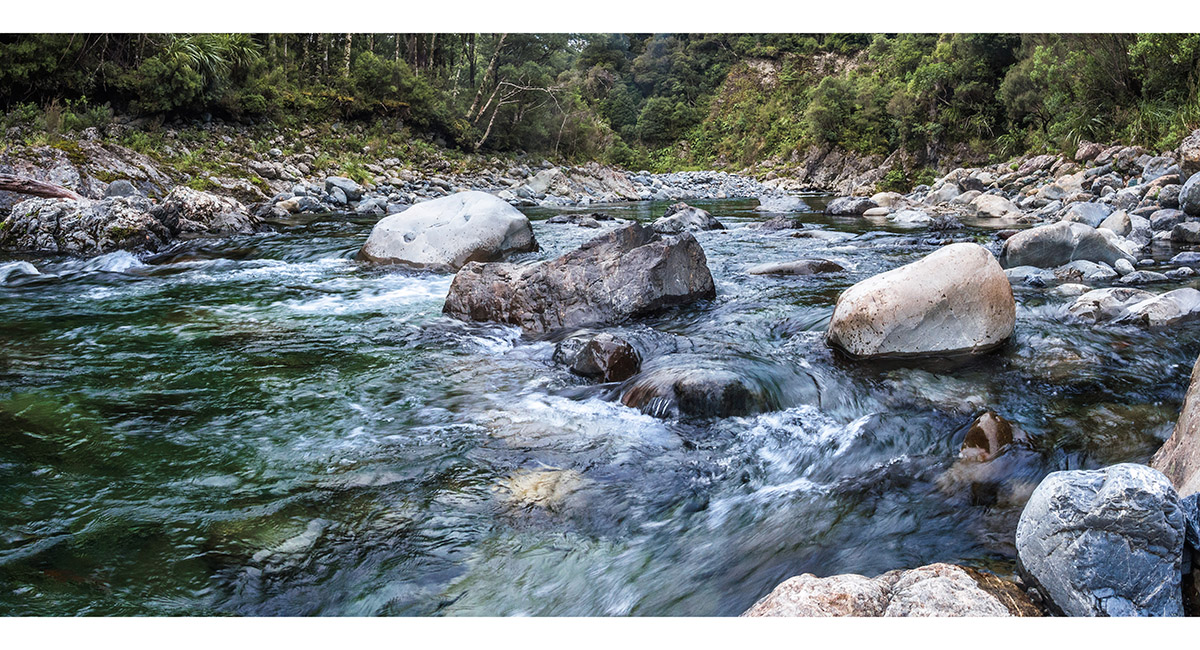
The Ruamahanga River, beside Roaring Stag Hut


At Roaring Stag Hut

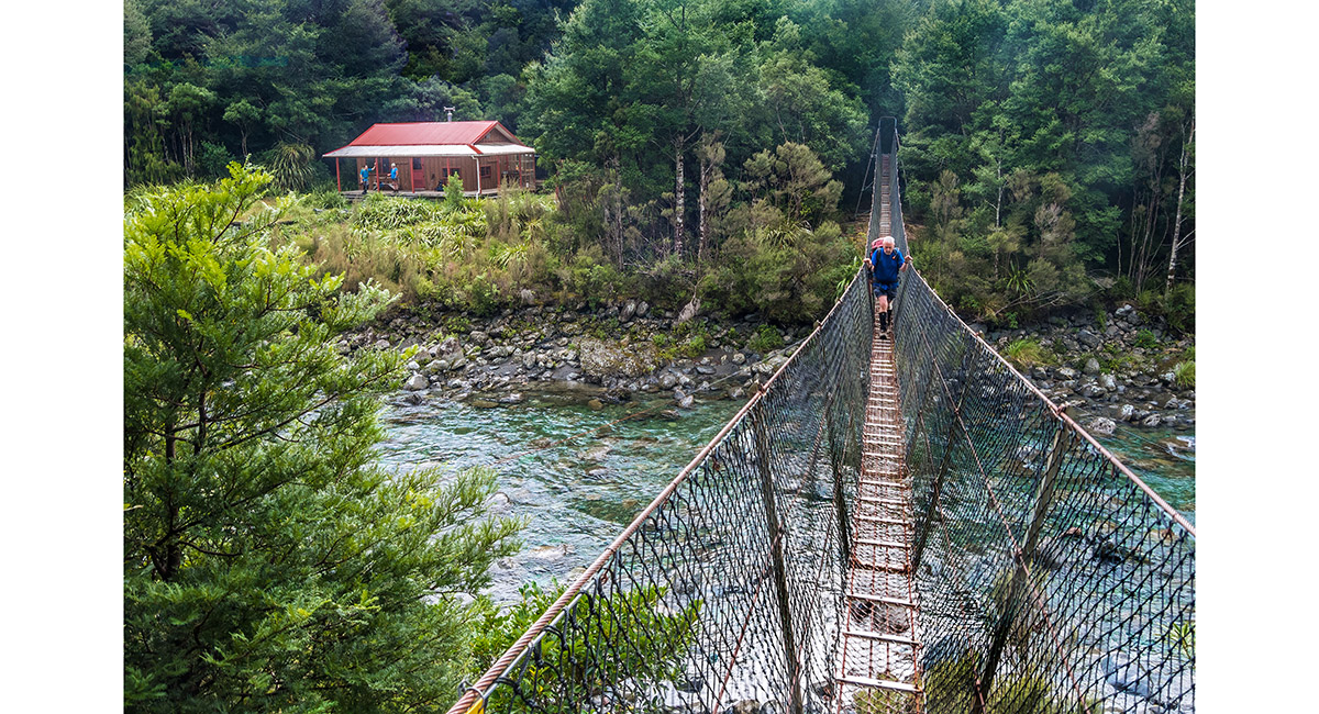
Crossing the Ruamahanga River, beside Roaring Stag Hut

On the river flats just before the slog up to Cattle Ridge

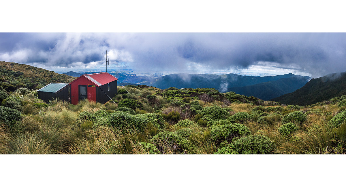
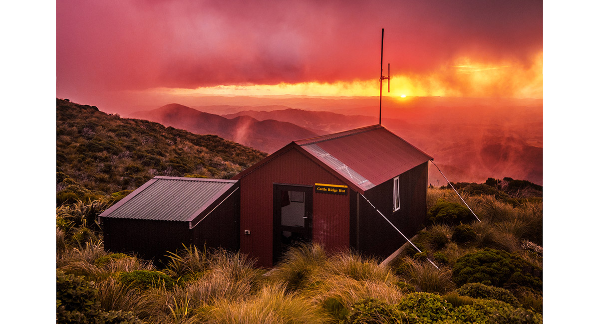
Cattle Ridge Hut (1,130m), looking east


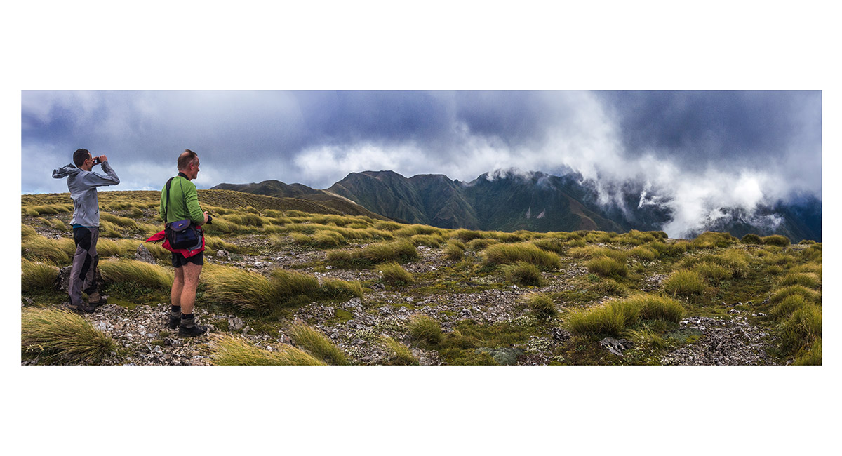
On Cattle Ridge at Pukeroa (1,318m), looking north east

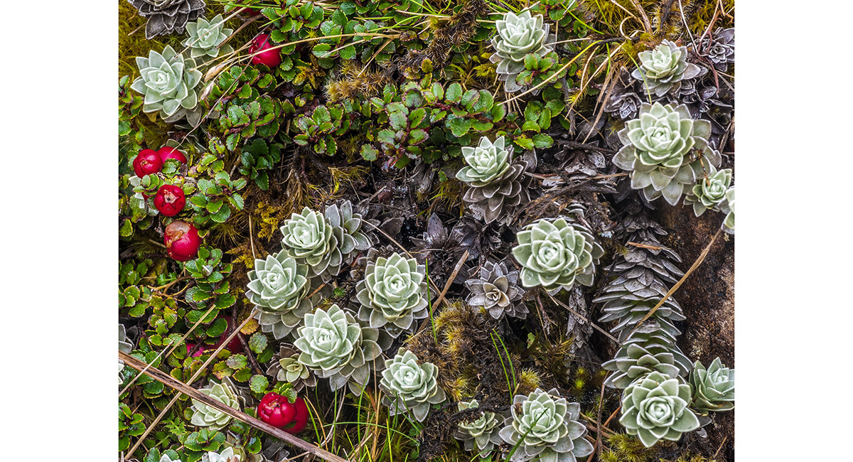
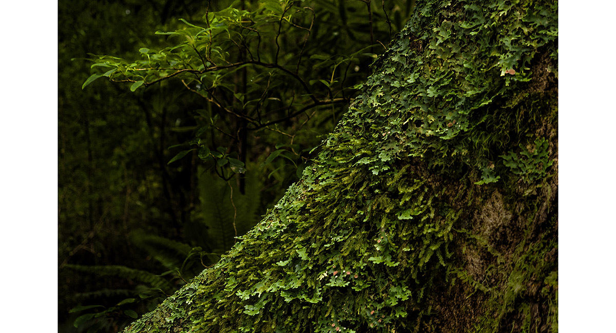
Cattle Ridge flora


Cattle Ridge flora

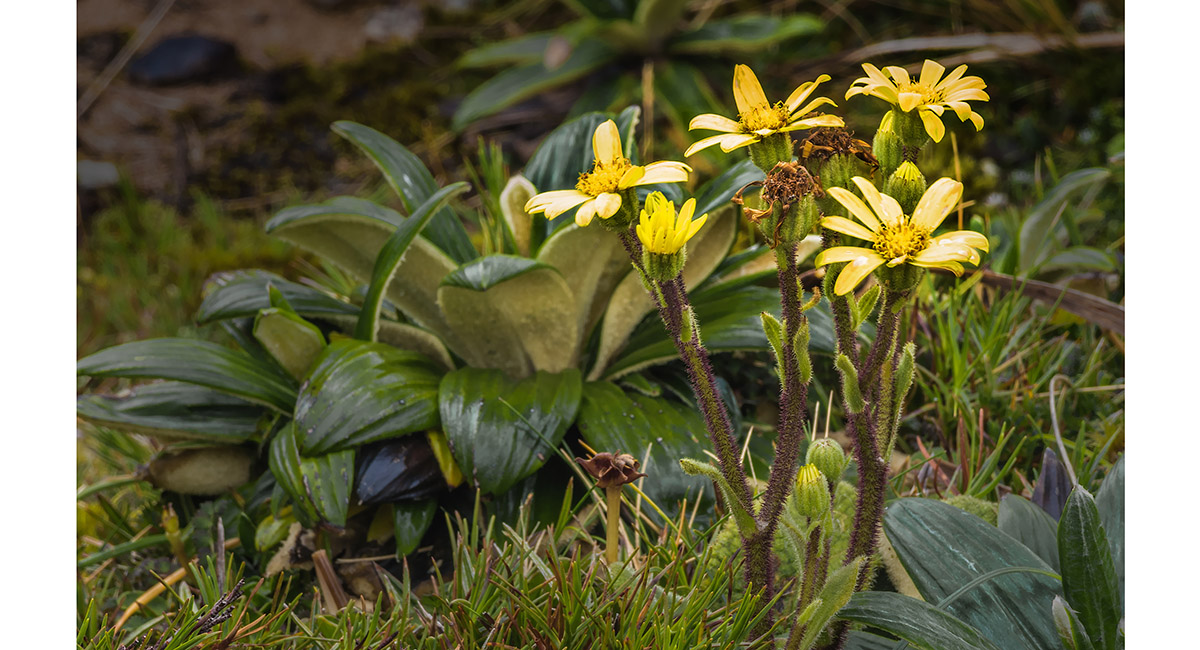
Cattle Ridge flora

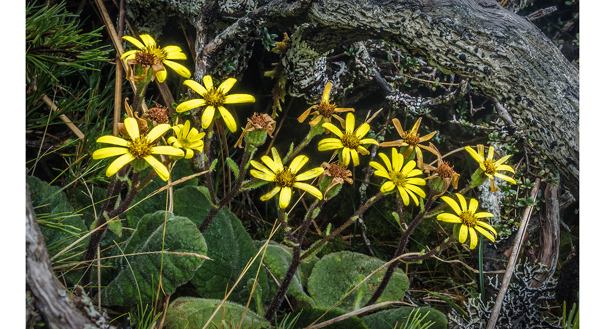
Cattle Ridge flora

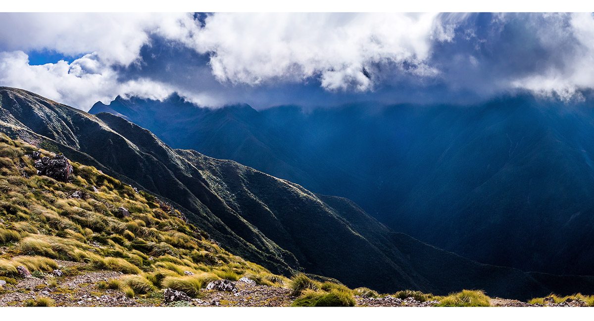
At about 1,300m on Cattle Ridge, looking northwest to Dundas Hut

At about 1,300m on Cattle Ridge, looking northwest to Dundas Hut

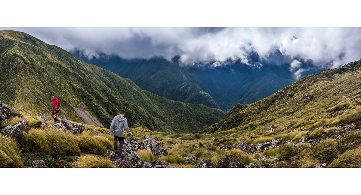
At about 1,300m on Cattle Ridge, descending to the dip between Pukeroa and Pukekino

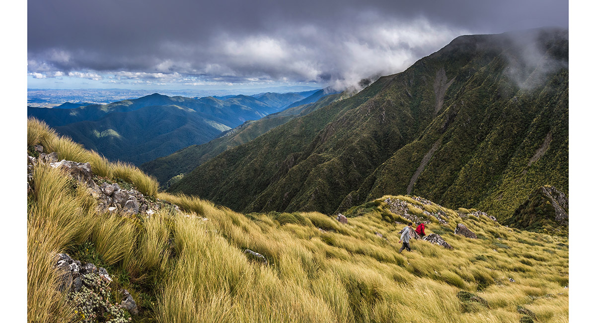
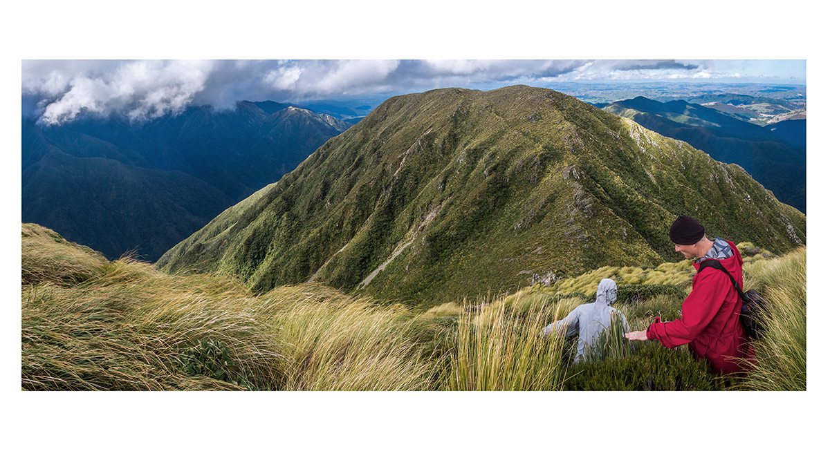
Near Pukekino (1,370m), looking west to Bannister


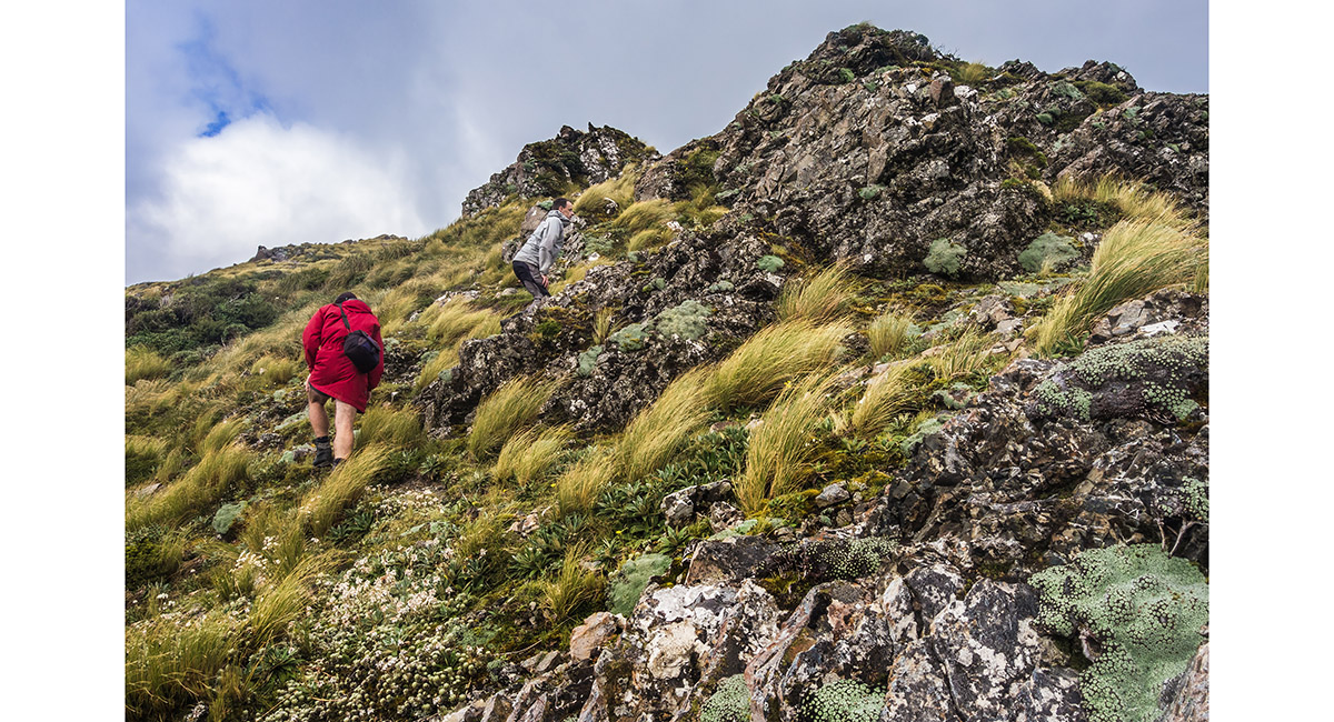
The crux section on the north side of Bannister (1,537m)

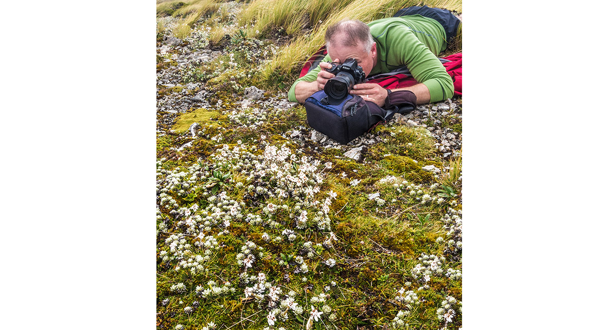
Shaun Barnett getting amongst it

Returning from Pukenino, with the northern end of Cattle Ridge in view

Climbing back up to Pukeroa

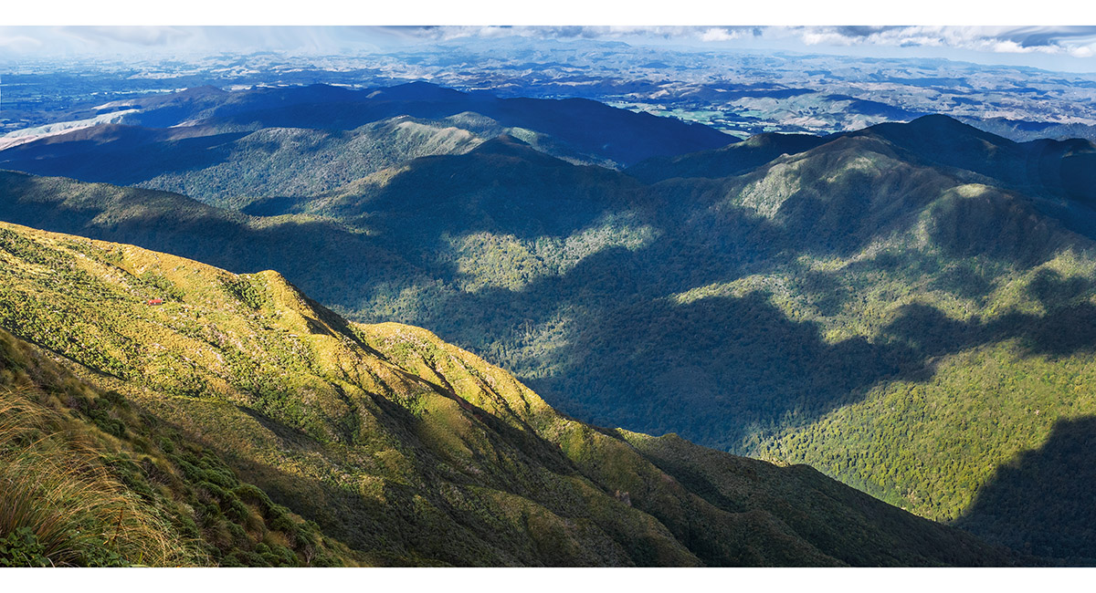
Cattle Ridge Hut, viewed from Cattle Ridge at about 1,200m

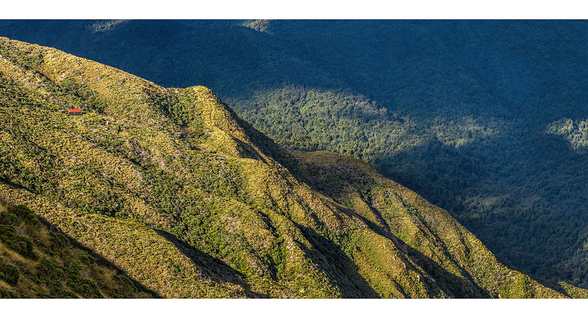
Cattle Ridge Hut, viewed from Cattle Ridge at about 1,200m

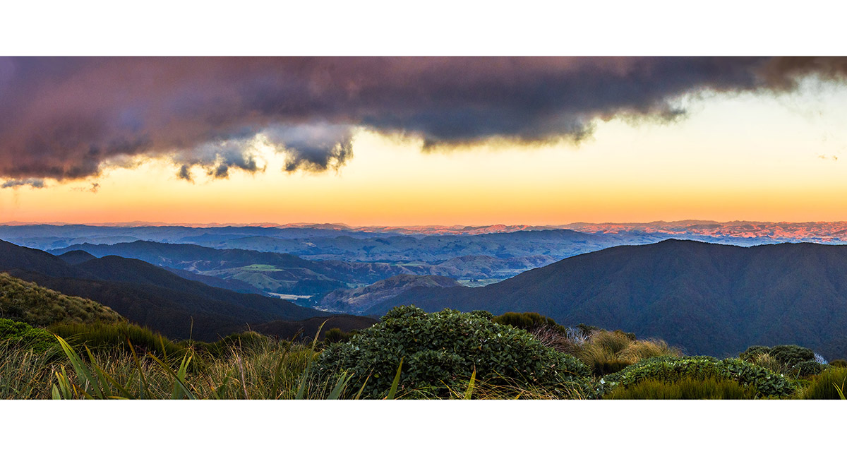
A sunset view east from Cattle Ridge Hut

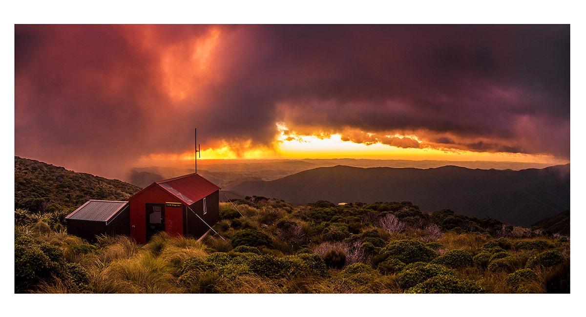
A sunrise view east from Cattle Ridge Hut

A sunrise view east from Cattle Ridge Hut

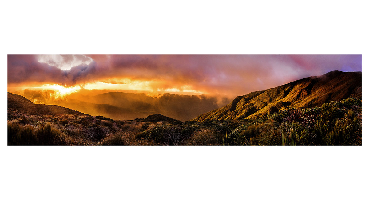
A sunrise view east from Cattle Ridge Hut

![]()
To order a print or web resolution file of any image you see in this slide show, just right click the image, click “Copy Image URL” and paste in to the “Your message” box of our Contact Us form. Please also note, for each image, if you want a print or web resolution file. We will get back to you as soon as possible to confirm price and payment details.
Open Contact Us in a new window to paste Image URL(s) easily