Baltistan – Gondogoro BC to Hushe, August 1997 & 92
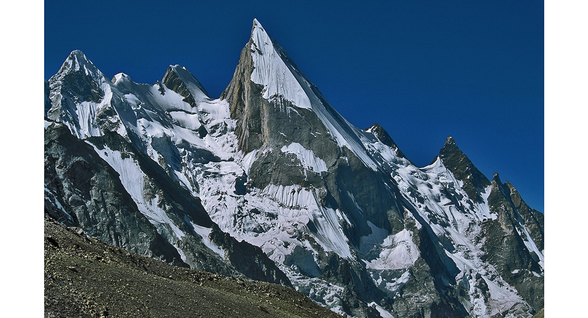
The view from High Camp down the Gondogoro glacier. The sharp peak is known as Lila (about 6,000m)

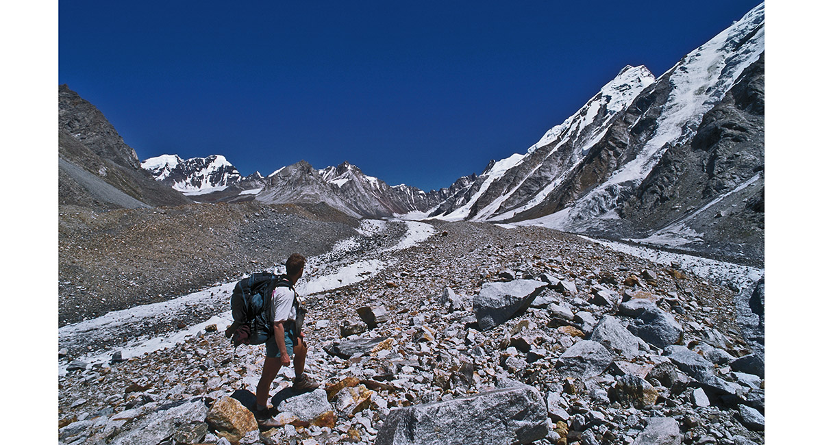
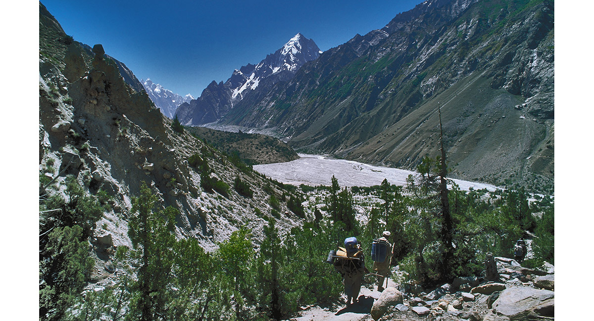
Heading down from High Camp towards Xhuspang (4,800m)

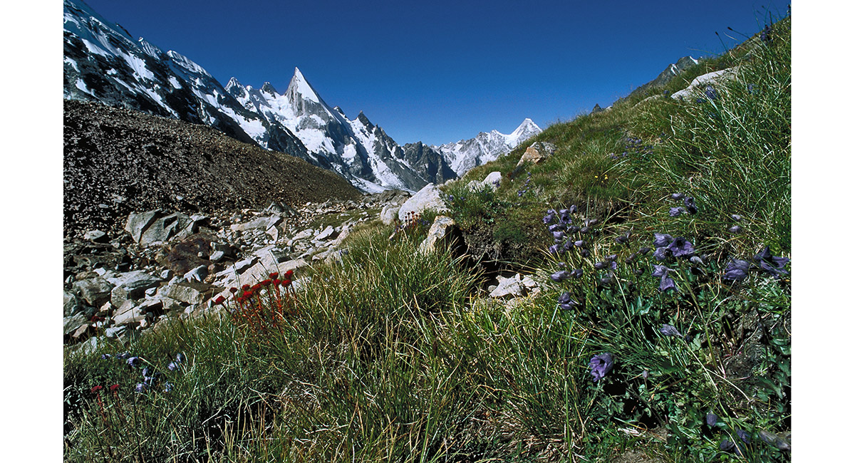
As we descended, we came upon the first vegetation in many days – a welcomed relief to the stark rock and ice. Seen on the trail above Xhuspang

Approaching Xhuspang. Once off the moraine, the going became much easier

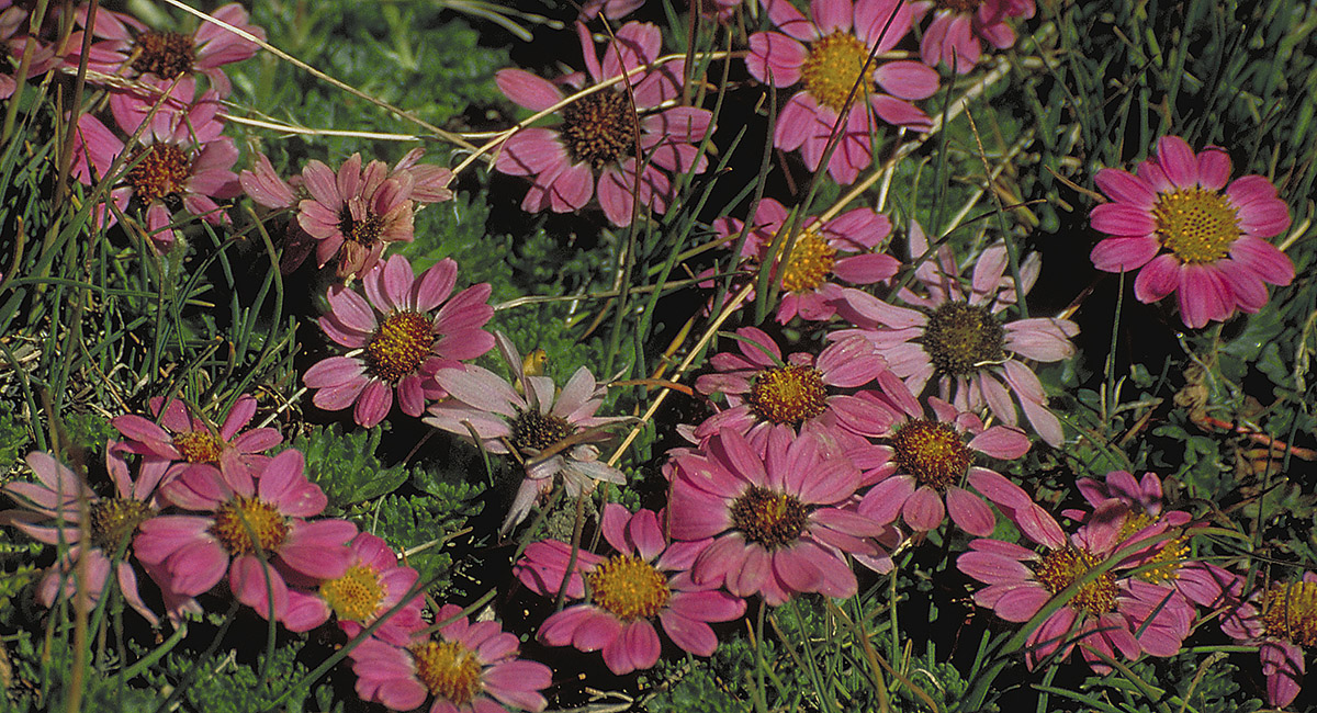
Mountain flowers provided a wonderful contrast to the rock and ice

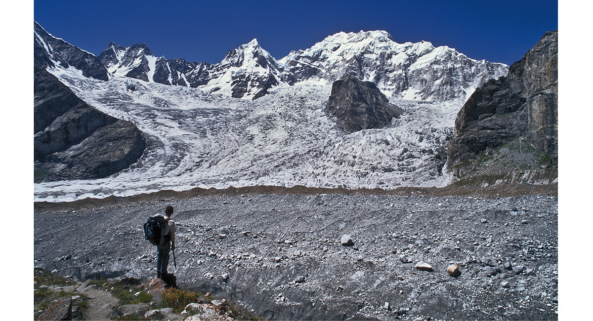
Xhuspang (4,800m), with Lila Peak

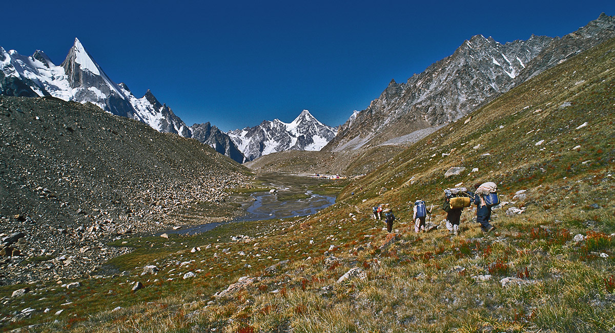
After the third day (first visit 1992) we reached Xhuspang at 4,800 metres. The huge pile of dark gray rubble, impinging on this scene from the right, is part of the Gondogoro moraine. It appears to point the way towards Gondogoro La, our main objective, which can be seen as a dip in the snow dusted skyline before it ascends to the sharp peak on the left

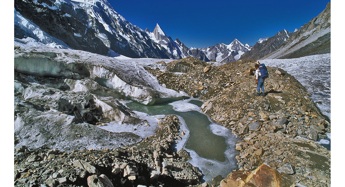
Below Xhuspang, looking back up the Gondogoro glacier to Gondogoro La


Back on the Gondogoro glacier, with Masherbrum's Eastern icefall directly ahead

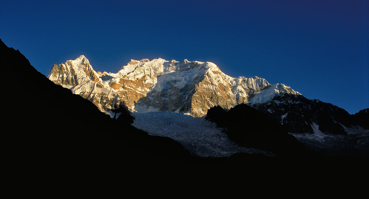
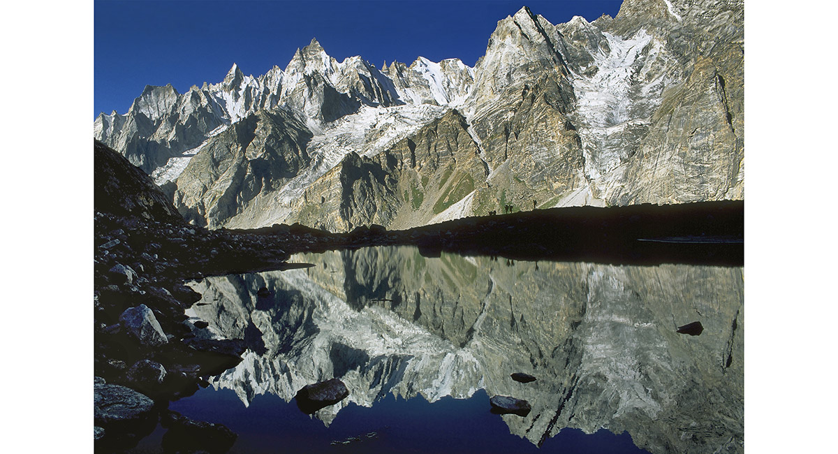
The Eastern side of Masherbrum (7,821m), from the Eastern moraine of Gondogoro glacier, above Daltsampa

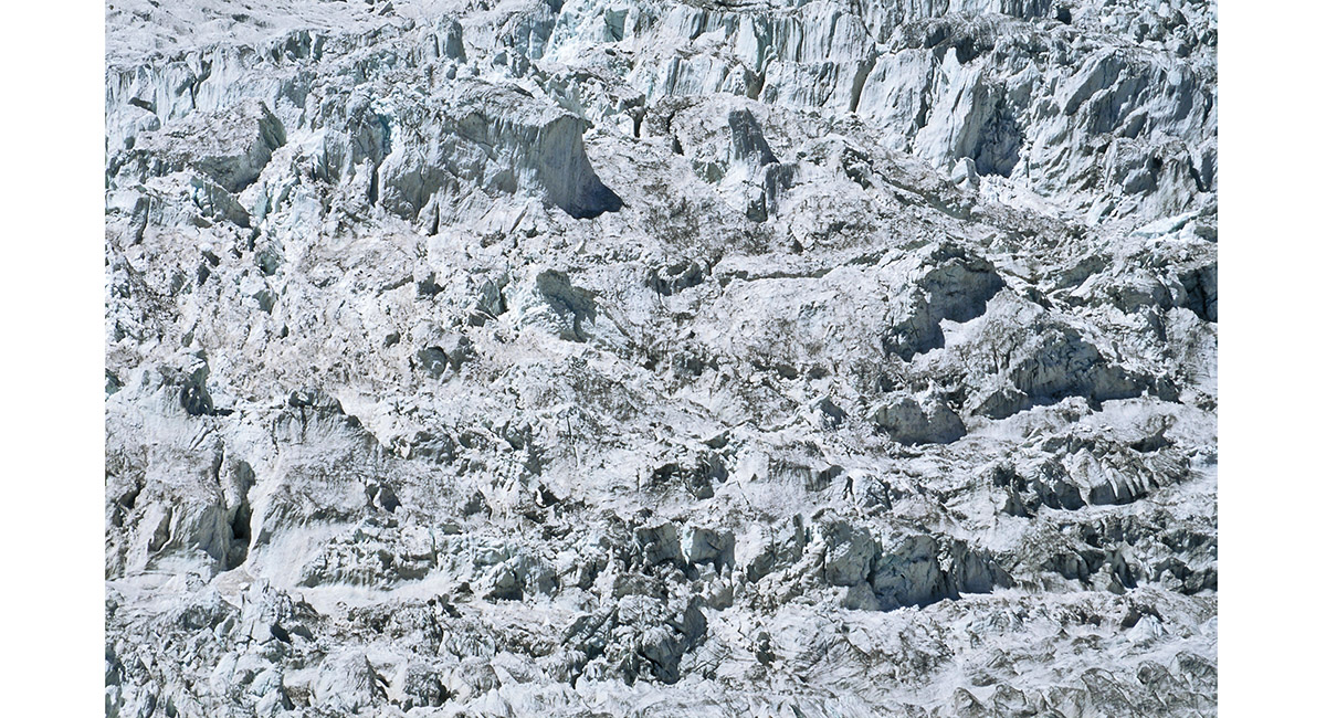
A section of the Masherbrum icefall, from Daltsampa

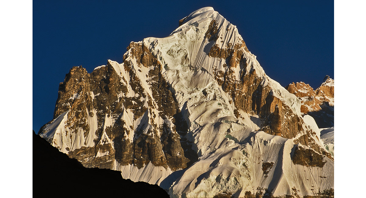
Masherbrum (7,821m), from Daltsampa (4,300m)

A section of the Eastern wall of Masherbrum, from Daltsampa (4,300m)

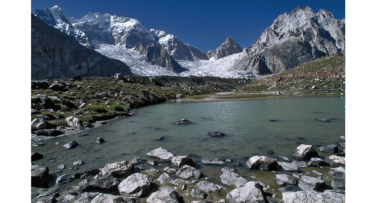
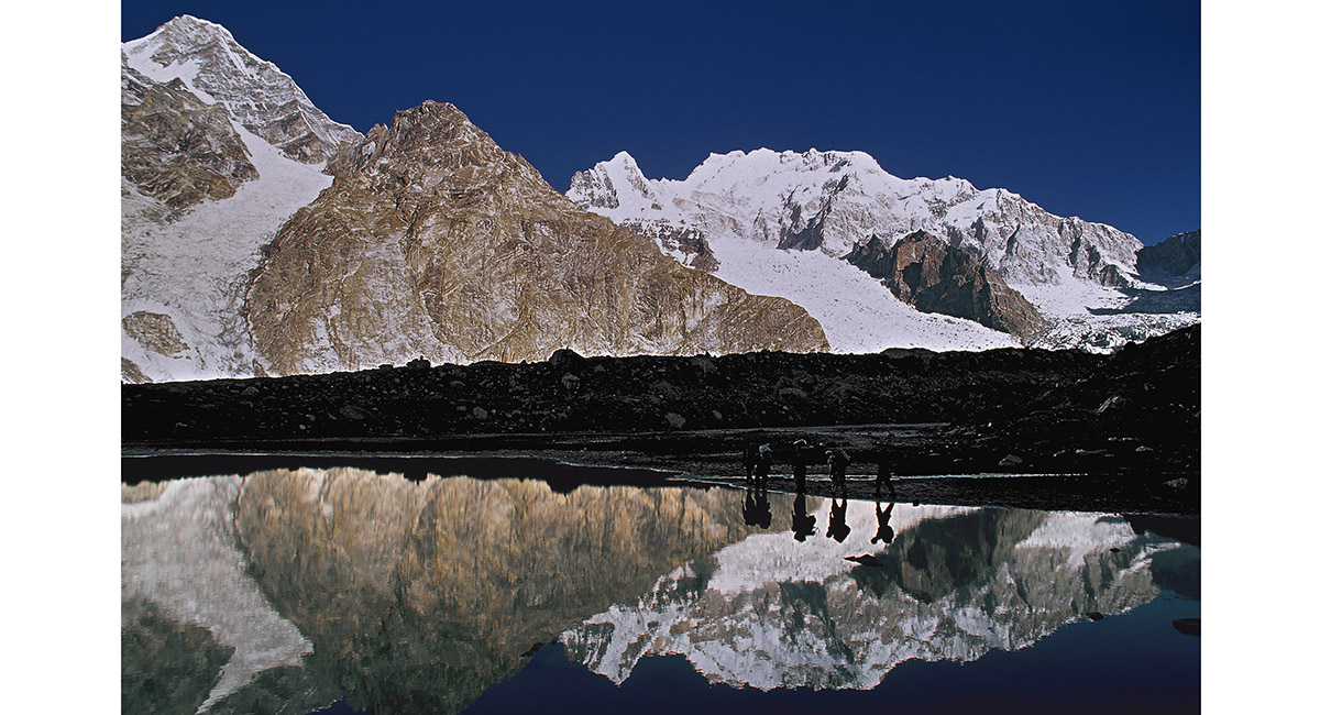
Daltsampa Lake, my tent, with Masherbrum behind

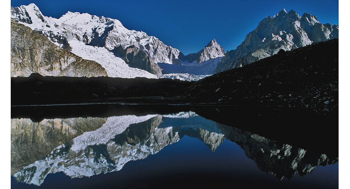
Masherbrum, mirrored by Daltsampa Lake

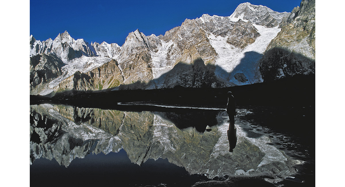
A mirror reflection on Daltsampa Lake

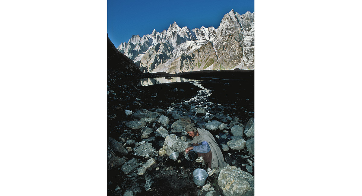
Hussain on pot washing duty, Daltsampa Lake

Setting off from Daltsampa in the direction of Shaishcho

Reflected ants - the "A Team" departing Daltsampa in the direction of Shaishcho

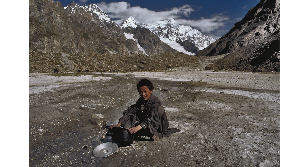
Busy cleaning dhal bhat from a pot with the aid of glacier water and silt, "Little Ali" flashes one of his winning smiles. This bubbly little boy attached himself to our contingent for part of our journey and a humorous little walking companion he proved to be. Behind him a line of Dzos file into this small flood-plain at 3,600 metres. The ever present Masherbrum provides a striking backdrop for us to enjoy as we set up our first camp (First visit 1992)

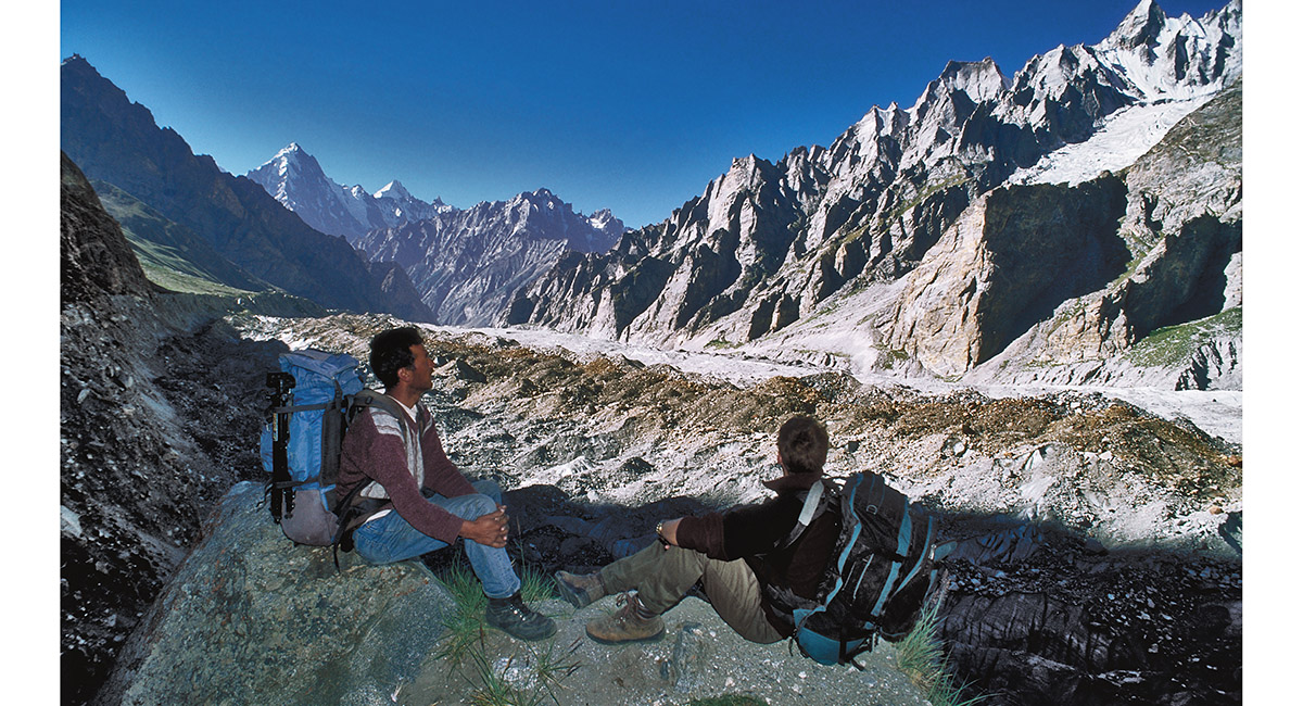
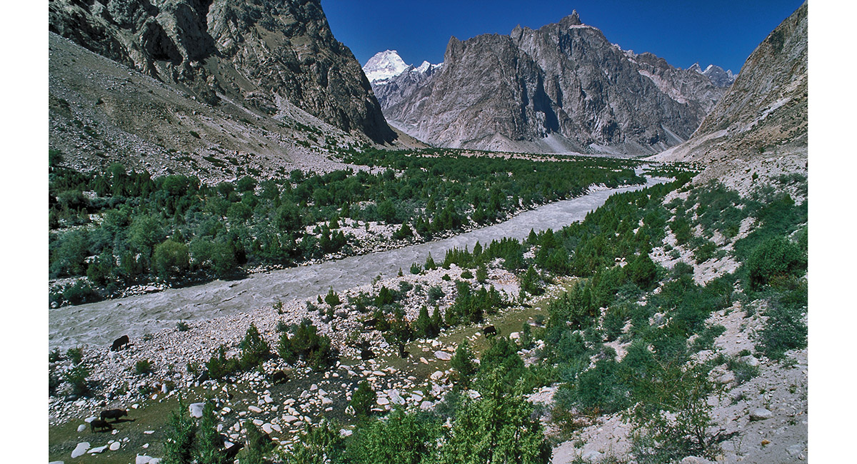
Looking back down the Gondogoro glacier. The dominant peak on the right is Namka, reaching 6,825 metres. In the distance are K6 and K7 (First visit 1992)

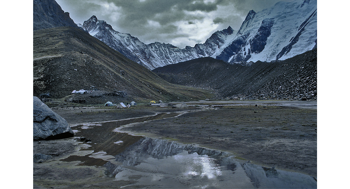
Above Gondogoro Camp (3,600m) on the moraine of Gondogoro glacier, looking towards Shaishcho

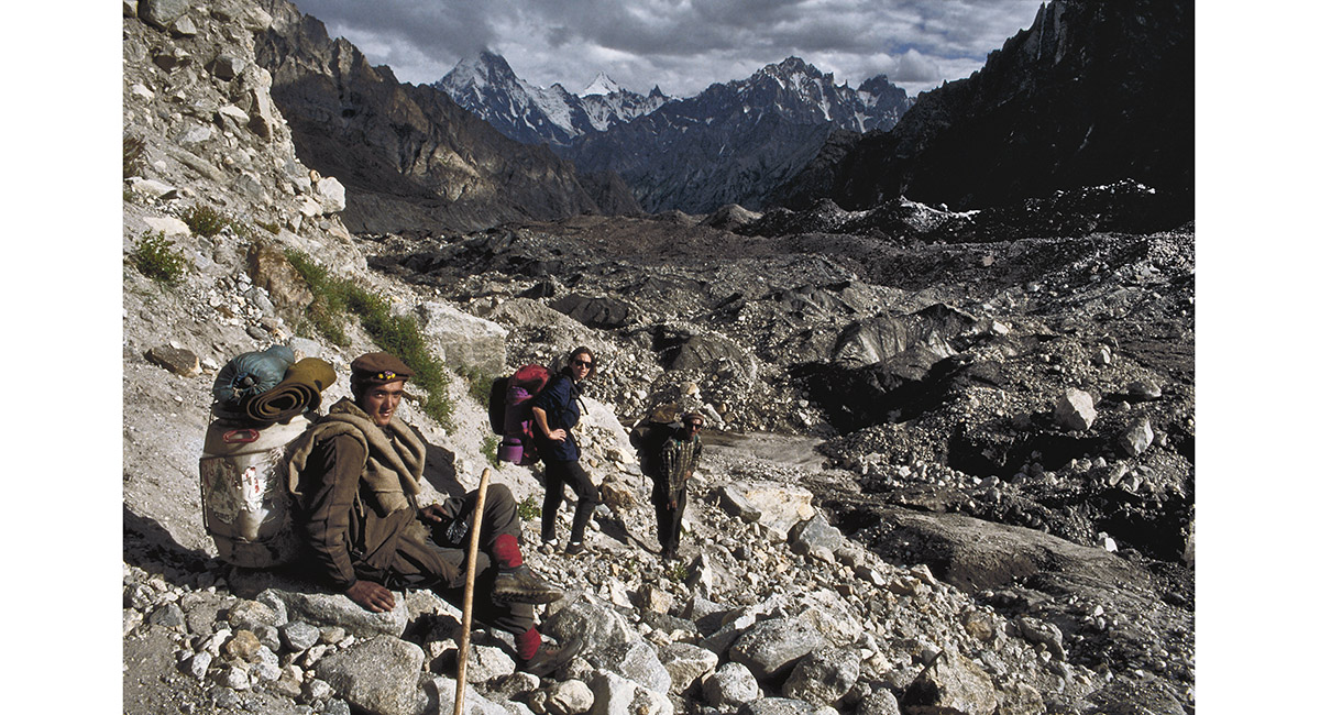
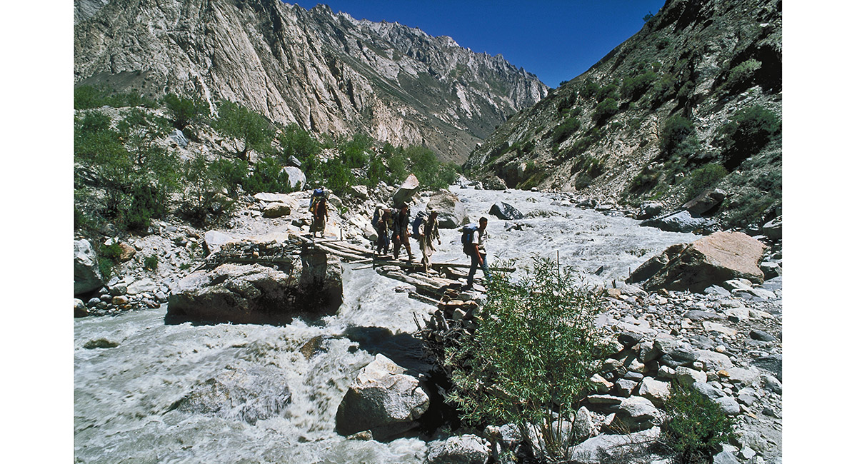
From Chospah are two trails. Initially we followed the left one up the loose moraine of Gondogoro glacier, our objective being a view of K2 from the Gondogoro La, four days walk further on (First visit 1992)

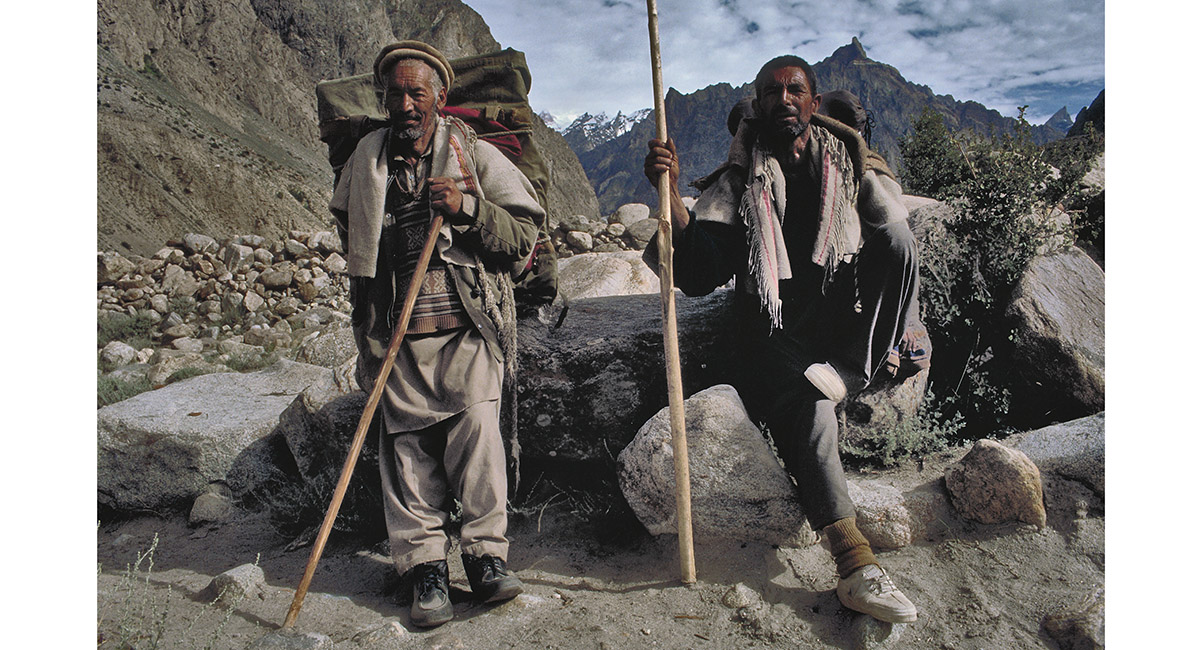
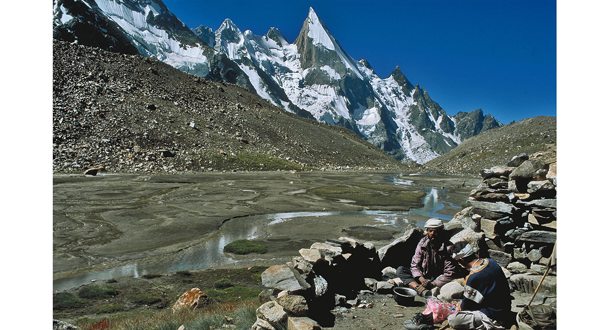
Even these two hardy Baltis needed a break from their efforts in the thin mountain air. Seen here above Hushe on a trail tracing the Hushe River for several hours walk up to Chospah (3,330 metres)

Passing Gondogoro Camp (3,600m) with Masherbrum behind

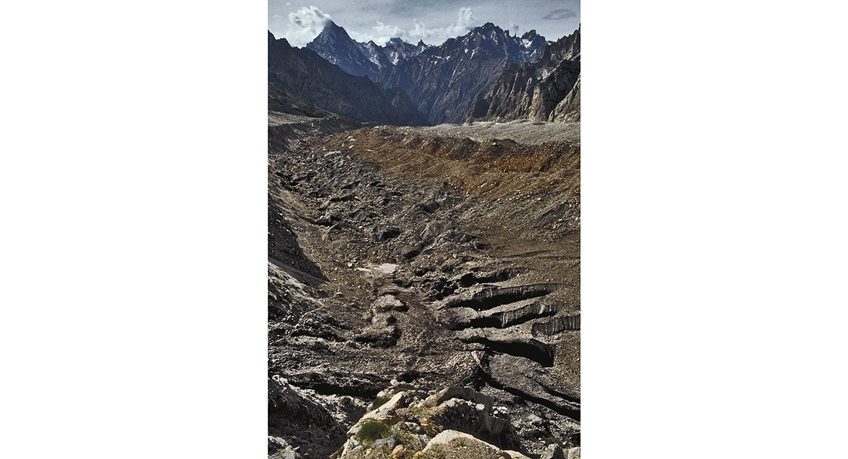
Just below the terminal moraine of Gondogoro glacier, on the descent to Shaishcho (3,330m)

Crossing the Aling River just beyond Shaishcho

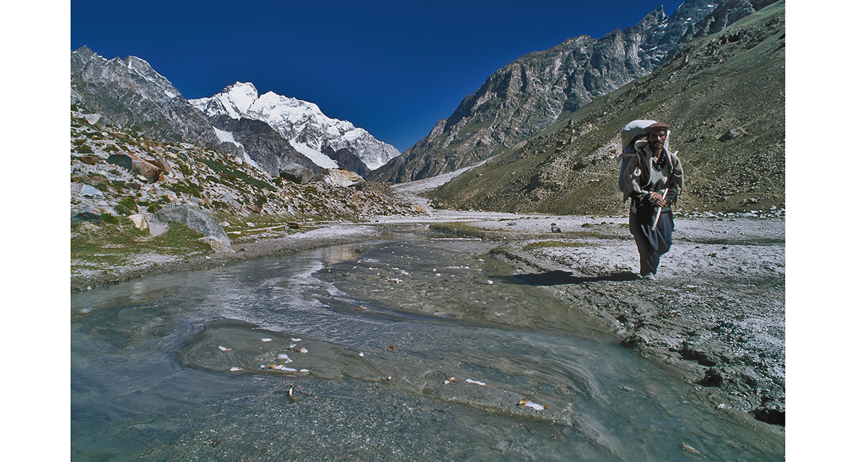
The Hushe River, with Masherbrum behind


To order a print or web resolution file of any image you see in this slide show, just right click the image, click “Copy Image URL” and paste in to the “Your message” box of our Contact Us form. Please also note, for each image, if you want a print or web resolution file. We will get back to you as soon as possible to confirm price and payment details.
Open Contact Us in a new window to paste Image URL(s) easily