Dome Shelter, January 2011
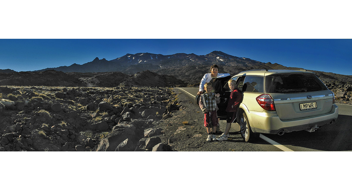
On the approach road to Whakapapa Ski field


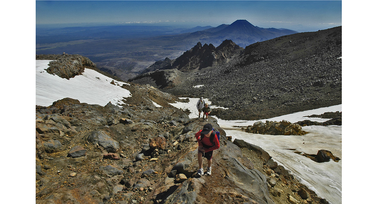
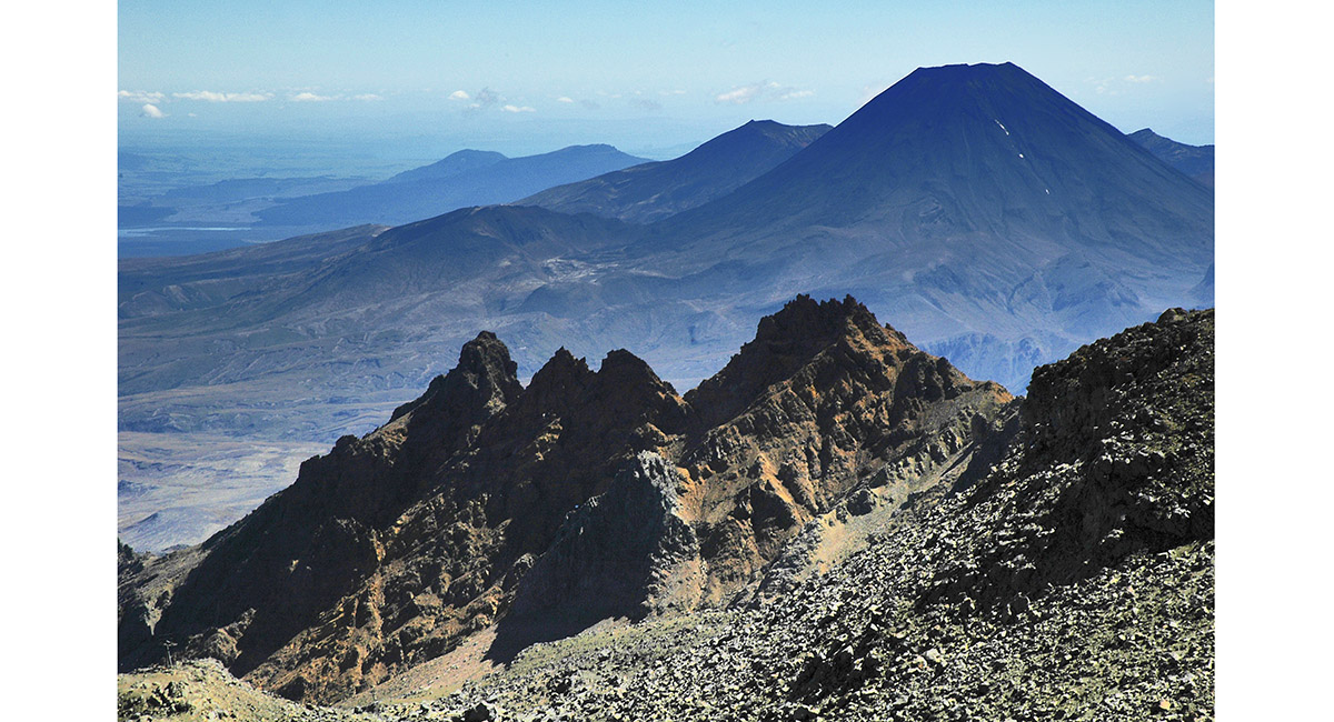
At about 2,200m, looking north to the Pinnacles (2,234m and Ngauruhoe (2,287m)

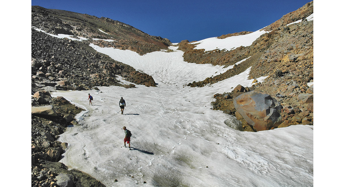
In the snow gully at about 2,400m, heading towards the Summit Plateau

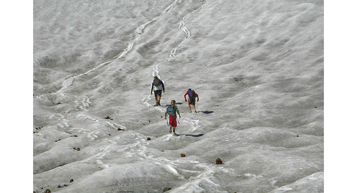
In the snow gully at about 2,400m, heading towards the Summit Plateau

Coming on to the crater rim and Summit Plateau, with the Pinnacles, Ngauruhoe and Tongariro behind

The Pinnacles, Ngauruhoe and Tongariro

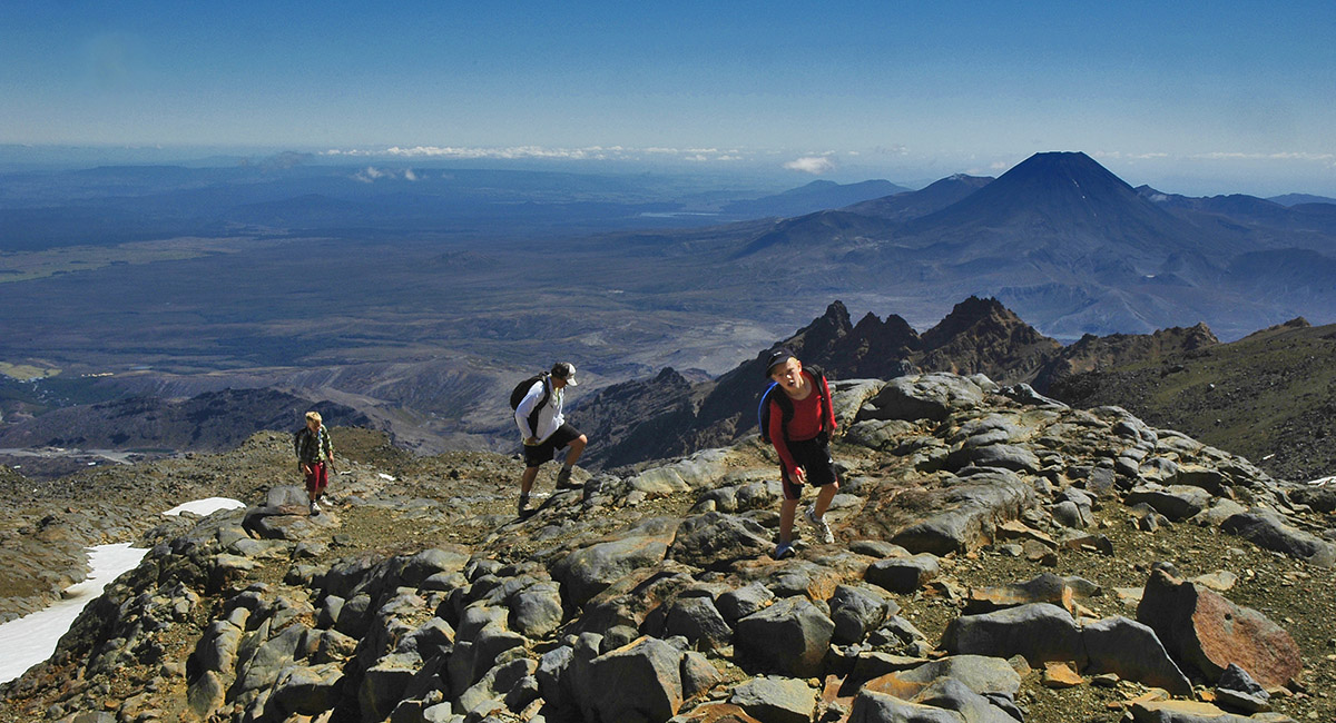
On the crater rim, with the Pinnacles, Ngauruhoe and Tongariro behind

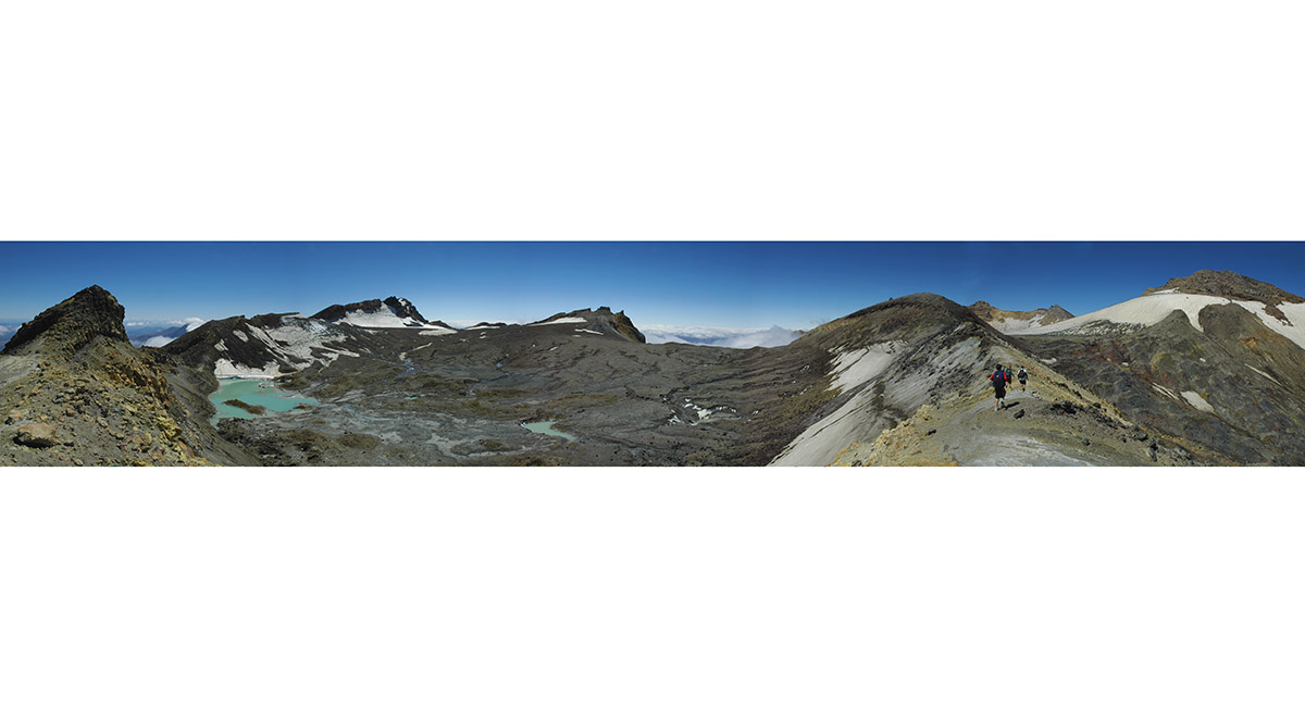
On the crater rim at 2,650m, heading to Dome Shelter (2,672). Paretetaitonga (2,751m) is far right and Tahurangi (2,797m) mid left. Most of Ruapehu's crater rim is visible, surrounding the Summit Plateau


View north east along the crater rim. Glacier Knob (2,642m) is the high point at left

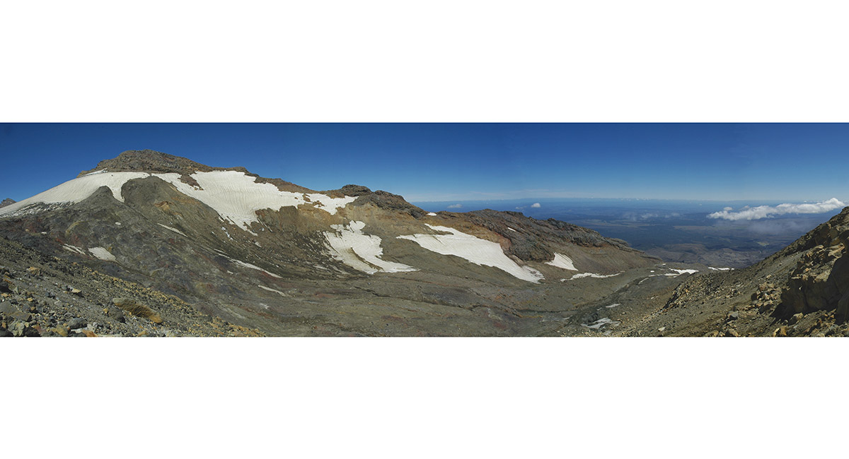
Paretetaitonga, across the Whakapapa Glacier

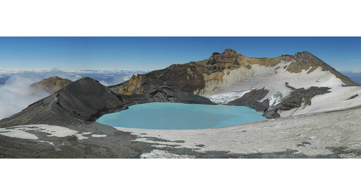
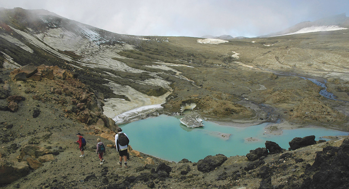
View from Dome Shelter - the Crater Lake (2,500m), with Mitre/Ringatoto (2,591m - far left), Pyramid Peak (2,645m - left) and Tahurangi (2,797m - right of centre)

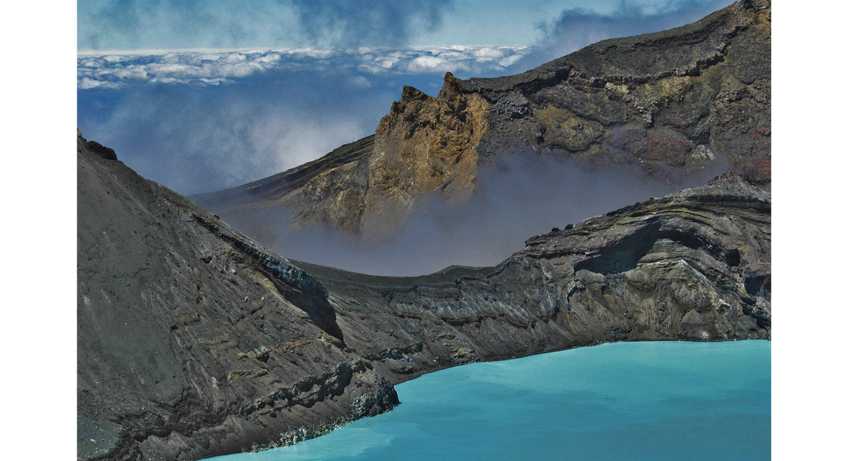
A section of the Crater Lake rim, just right of Pyramid Peak

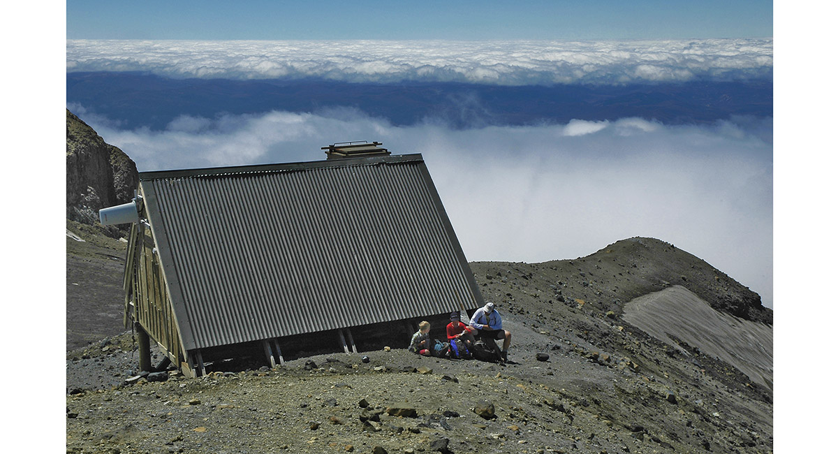
Dome Shelter (2,672m) in 'nude' summer mode


Cathedral Rocks (2,663m), from Dome Shelter

On the crater rim, north of Dome Shelter

Just south of Glacier Knob (2,642m) at the point where the descent route drops off the crater rim

To order a print or web resolution file of any image you see in this slide show, just right click the image, click “Copy Image URL” and paste in to the “Your message” box of our Contact Us form. Please also note, for each image, if you want a print or web resolution file. We will get back to you as soon as possible to confirm price and payment details.
Open Contact Us in a new window to paste Image URL(s) easily