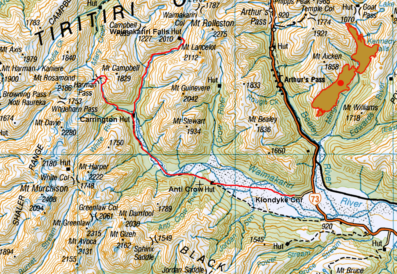
Waimakariri Falls and Harman Pass, January 2020
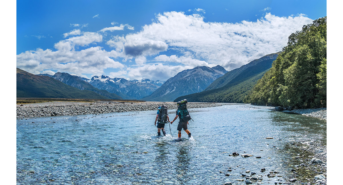
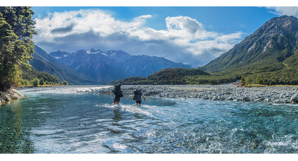
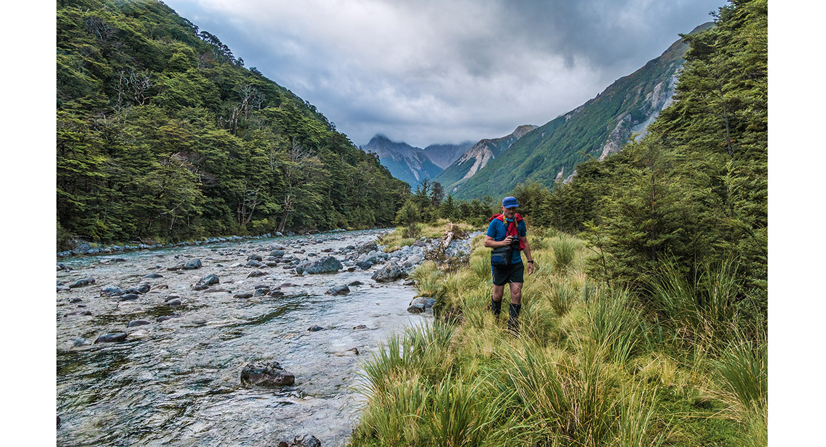
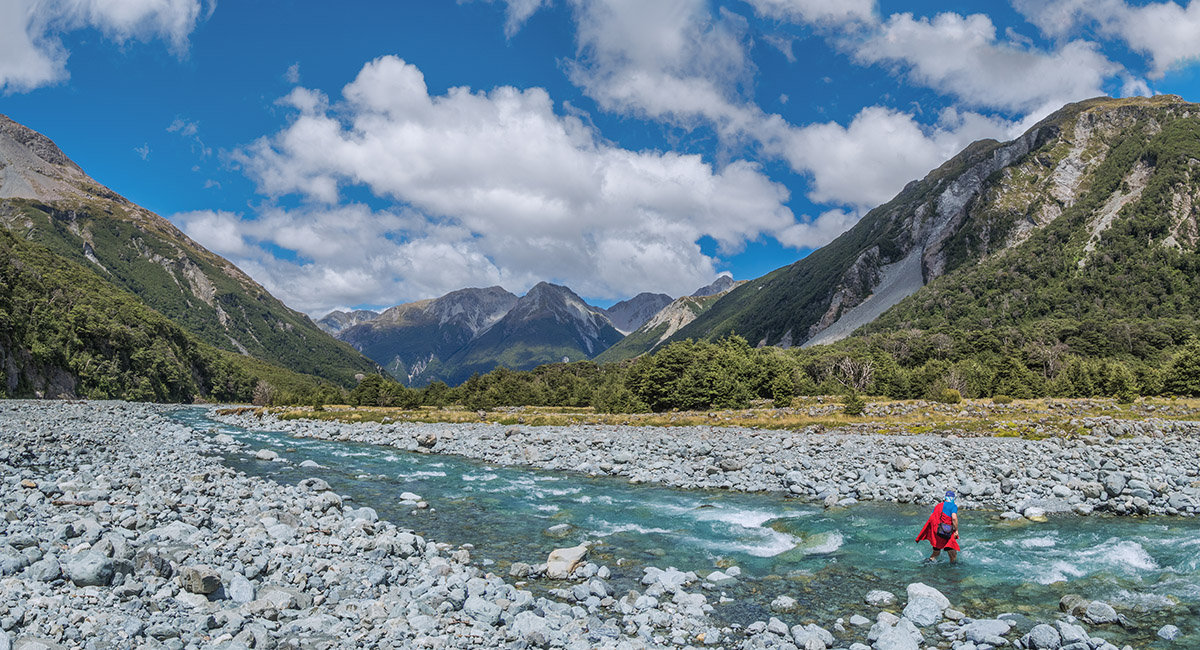
Crossing the Waimakariri River, east of Anti Crow Hut

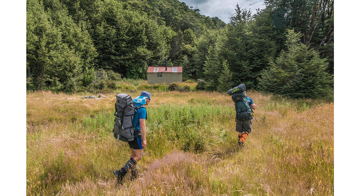
Approaching Anti Crow Hut (750m)

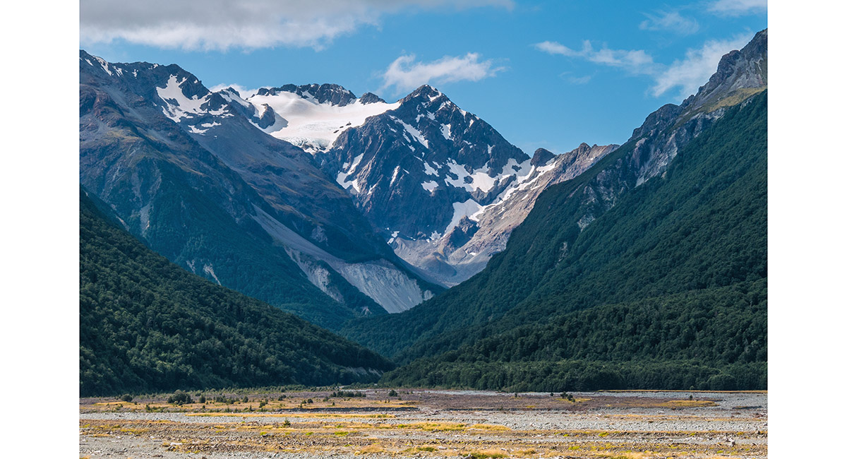
Mount Rolleston at the head of Crow Valley, viewed from Anti Crow Hut

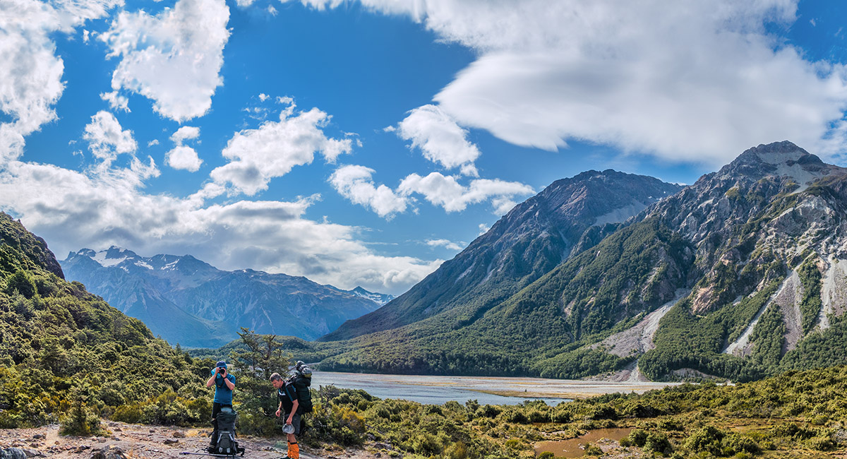
A view up the Waimakariri River, just west of Anti Crow Hut

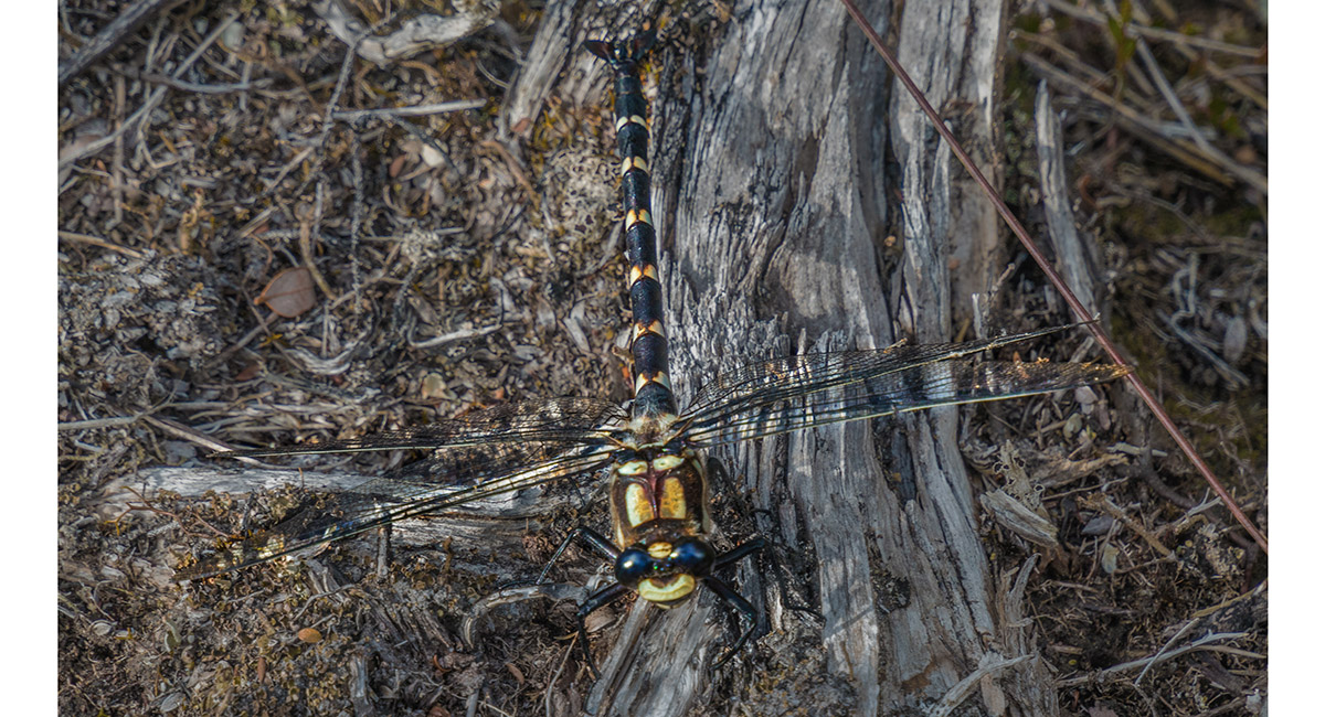
A dragonfly on the trail

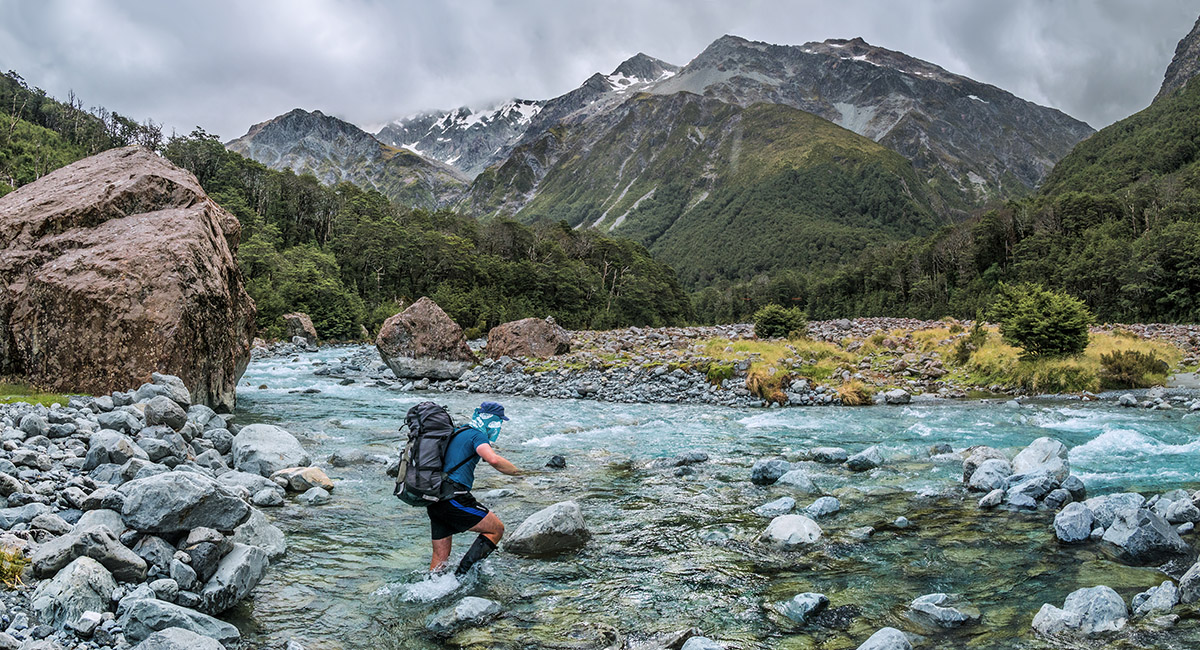
Another crossing of the Waimakariri River, south east of Carrington Hut

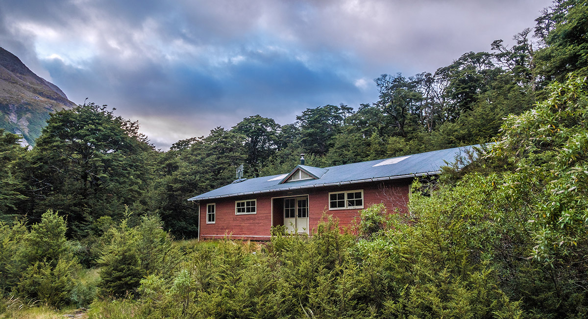
Carrington Hut (815m)

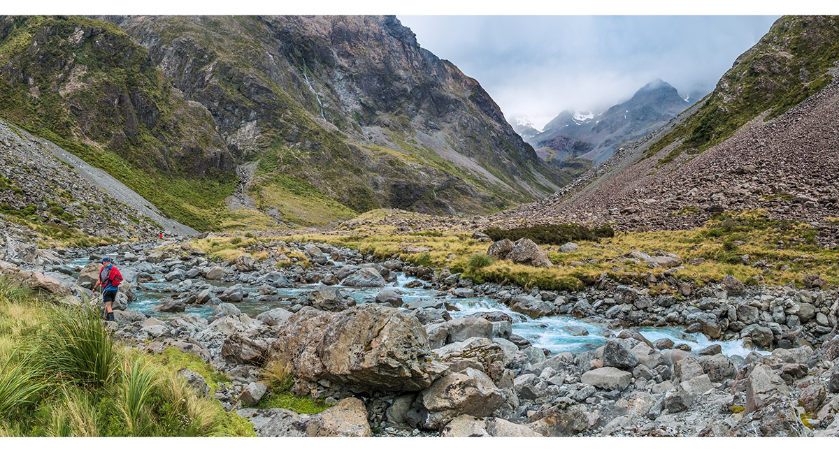
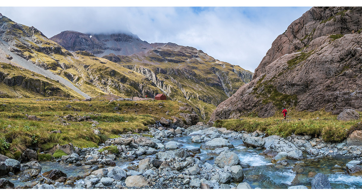
Heading north, beyong Carrington Hut, up the Waimakariri River

A view back towards Carrington Hut, on the Waimakariri River

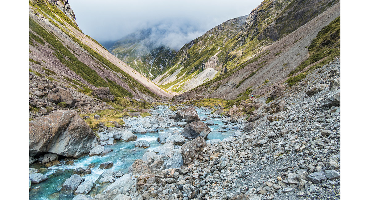
Further north, approaching the headwaters of Waimakariri River

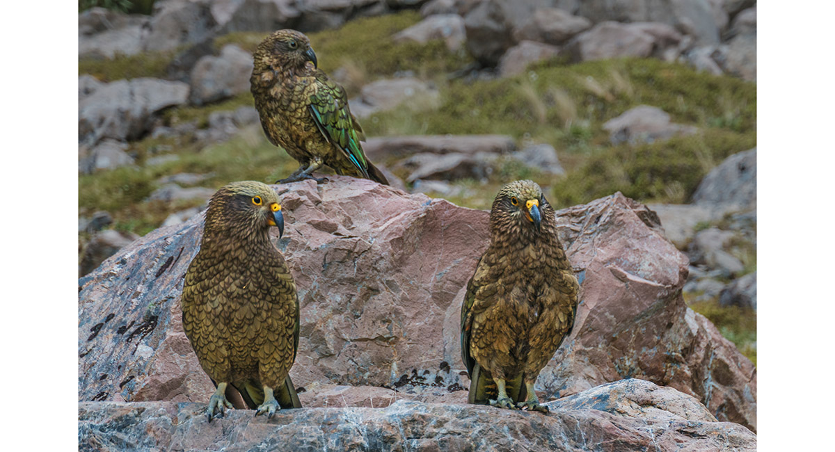
A group of seven or more kea paid us a visit beneath the main climb to Waimakariri Falls

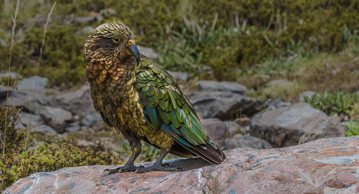
One of a group of seven or more kea paid us a visit beneath the main climb to Waimakariri Falls

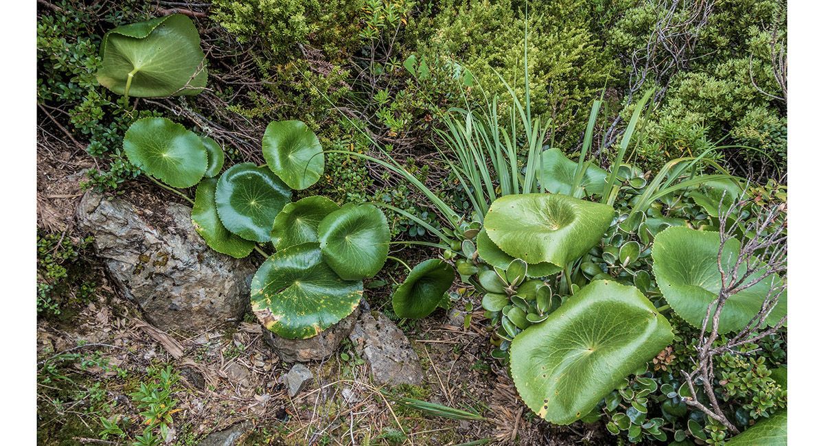
Mount Cook Lilly pads, but no flowers

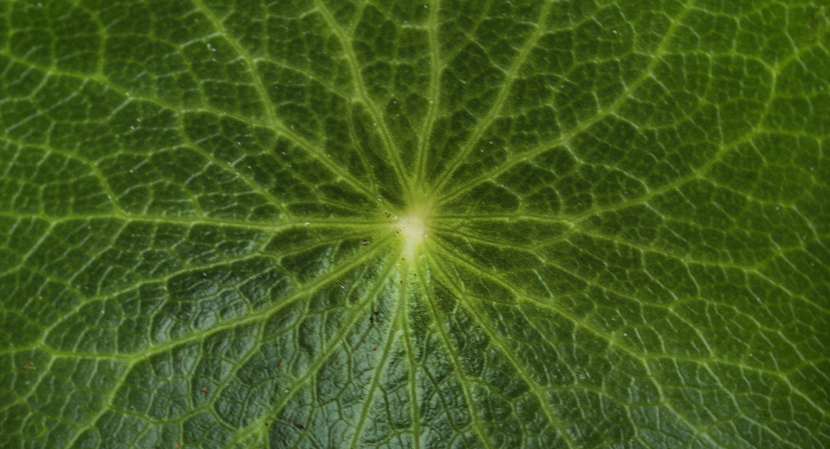
A Mount Cook Lilly pad

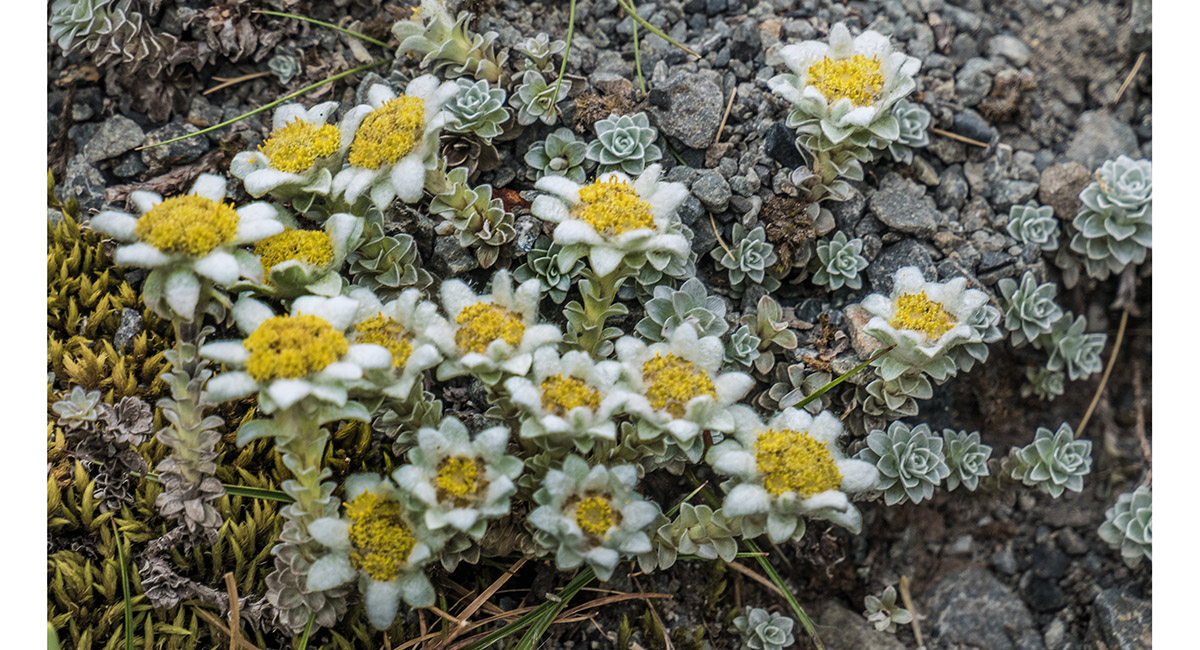
Edelweiss

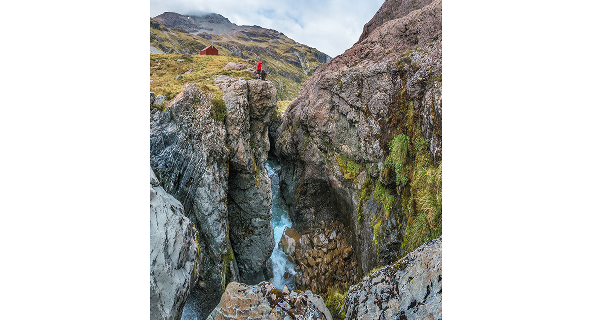
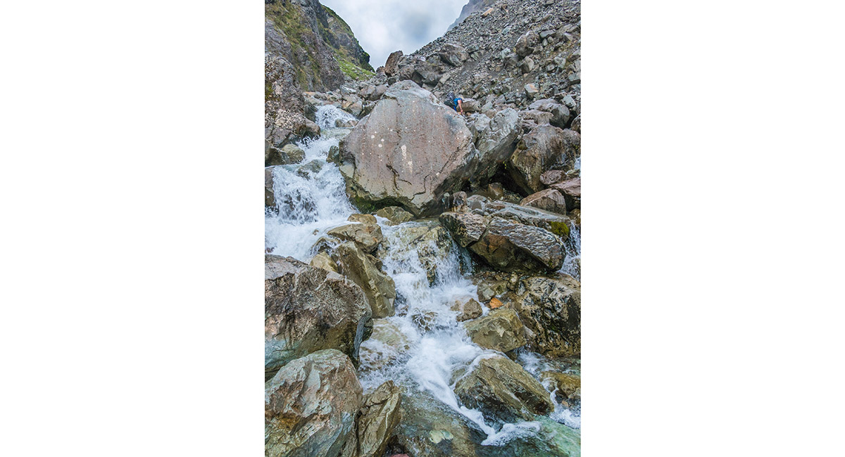
At about 1,200m, beneath Waimakariri Falls

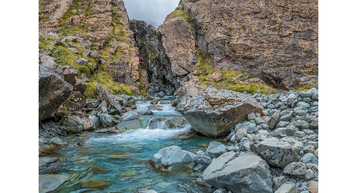
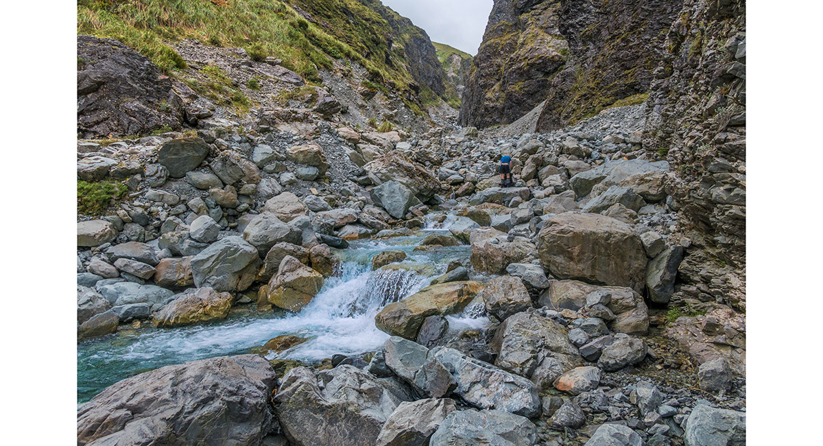
The deep narrow gorge beneath Waimakariri Falls


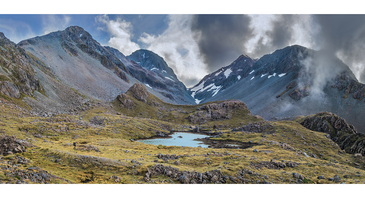
A tarn near Waimakariri Falls Hut, looking north to Waimakariri Col (1,787m)

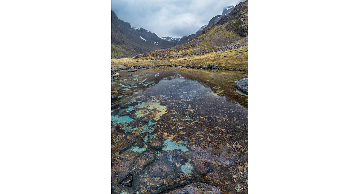
A tarn near Waimakariri Falls Hut, looking north to Waimakariri Col (1,787m)

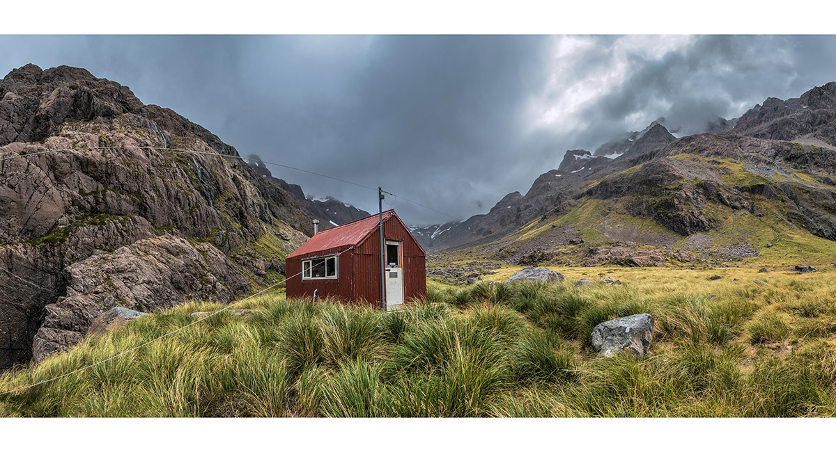
Waimakariri Falls Hut (1,250m). The red flanks of Mount Carrington are left and the flanks of Mount Rolleston right

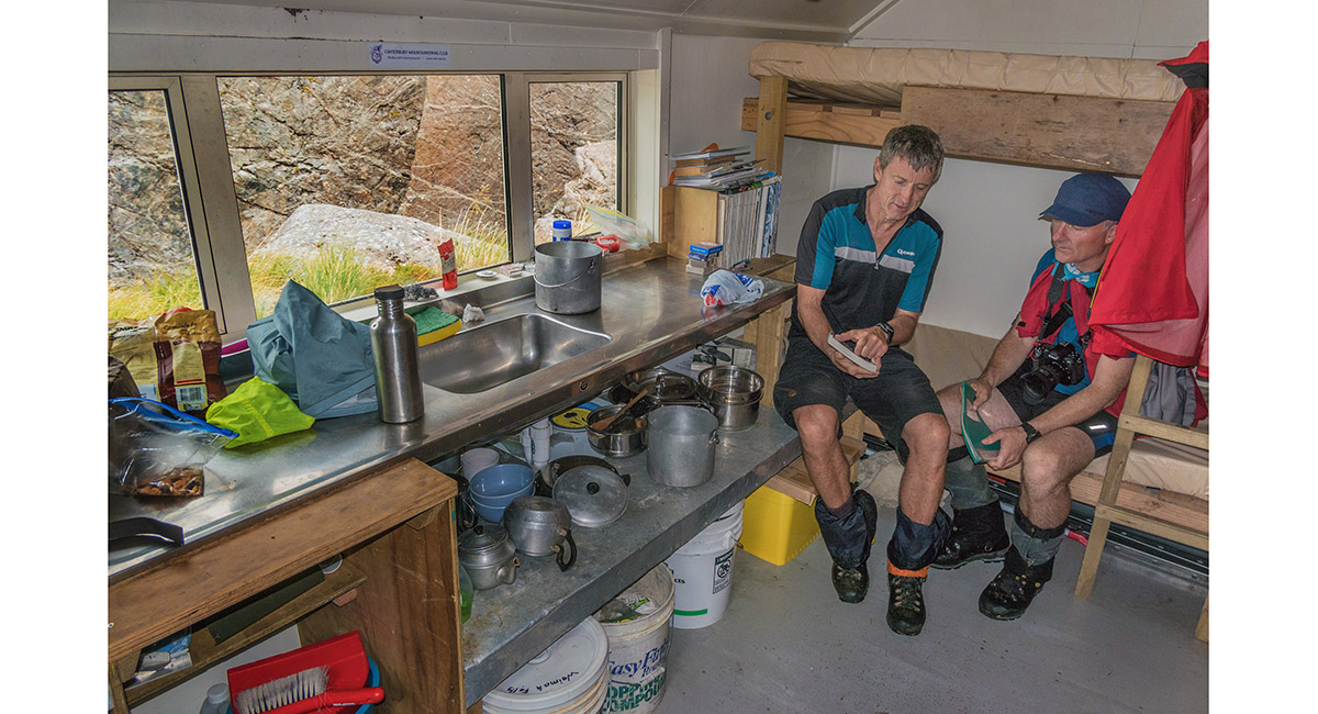
Inside Waimakariri Falls Hut (1,250m)

The top of Waimakariri Falls, with the hut top left

The upper reaches of Waimakariri River, with the hut left of centre

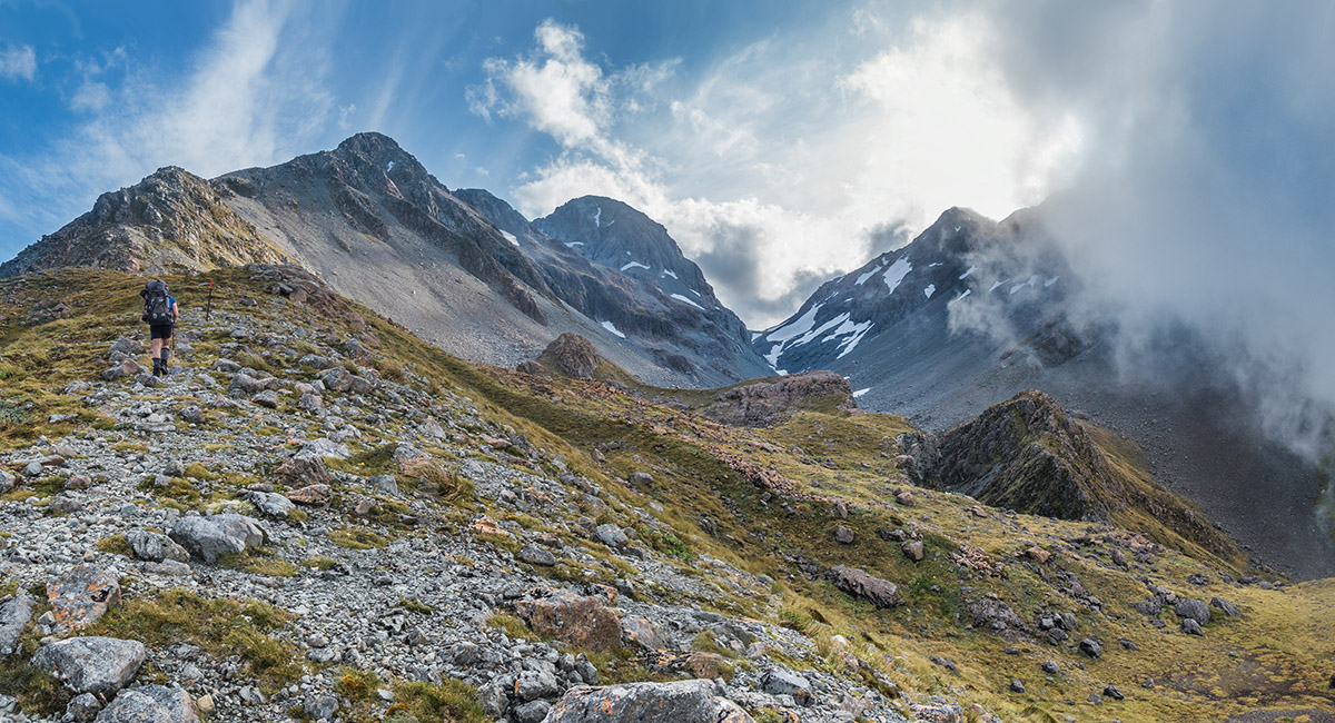
Looking north to Waimakariri Col (1,787m)


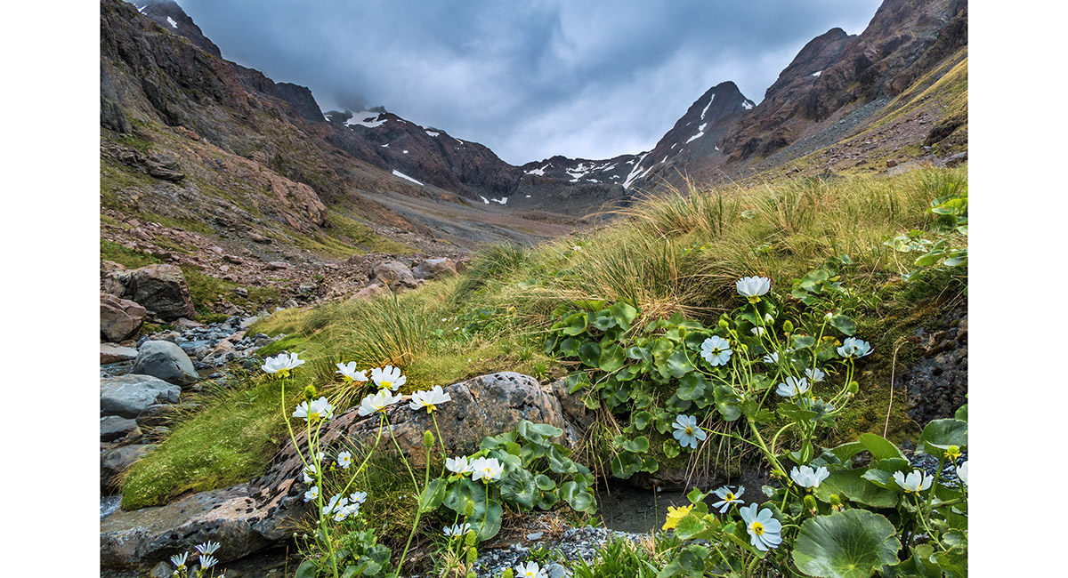
A Mount Cook lilly in flower

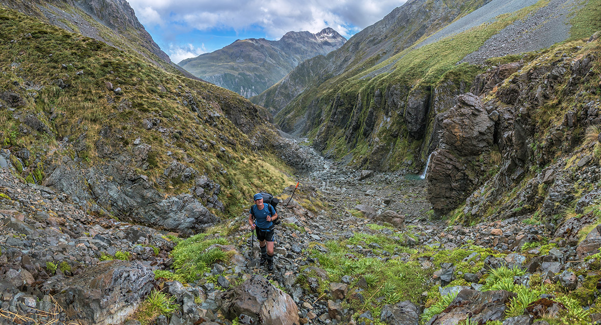
A view from about 1,250m, looking south down the upper Waimakariri River on the descent

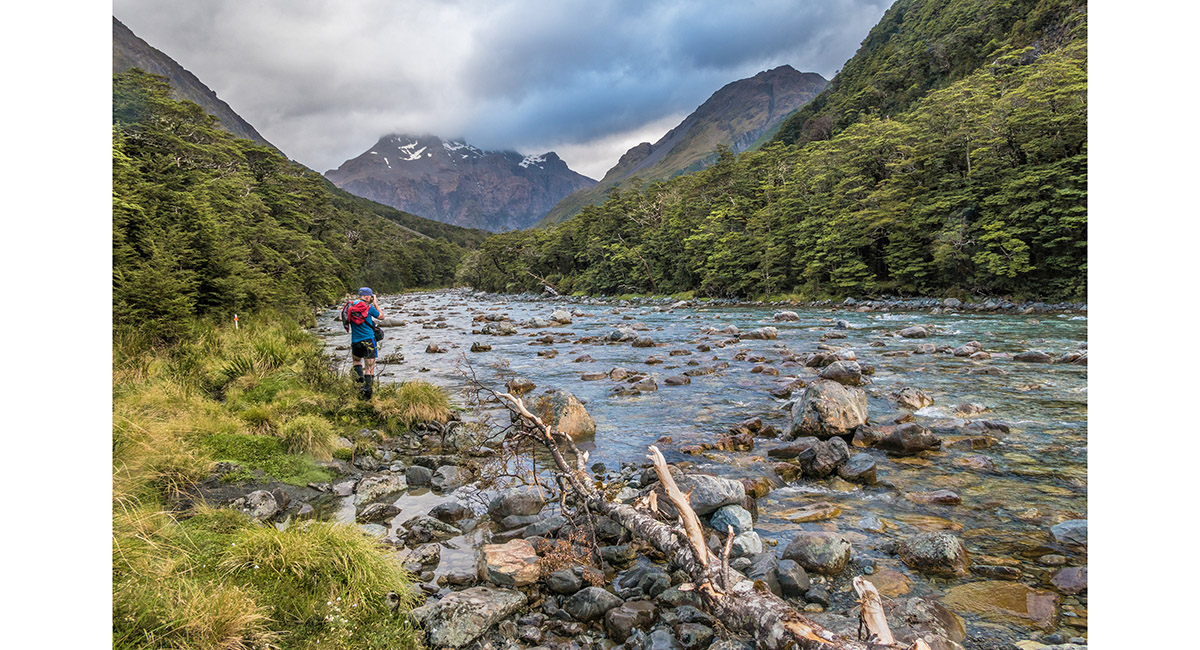
A view south east, crossing the White River near Carrington Hut


A SAR Rescue for Helge, after breaking his collar bone in a freak fall about 20 minutes from Carrington Hut

Heading up White River, this view looking west

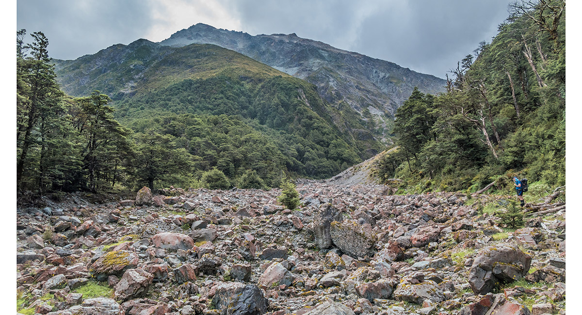
At the rocky base of the climb from White River, up Taipoiti River

The valley up Taipoiti River quickly narrows, here at about 950m

At about 1,000m, looking up Taipoiti River


At about 1,050m, looking up Taipoiti River

At about 1,100m, looking back down Taipoiti River


Alpine flora


At about 1,200m, looking back down Taipoiti River

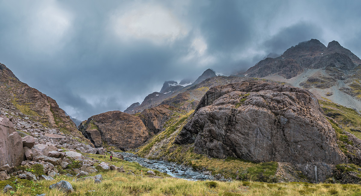
At about 1,330m, just above Harman Pass, looking south west to Whitehorn Pass (1,756m). Mount Isobel (2,036m) is left and Mount Rosamond (2,186m) right in cloud


A view north east to Harman Pass (1,321m)

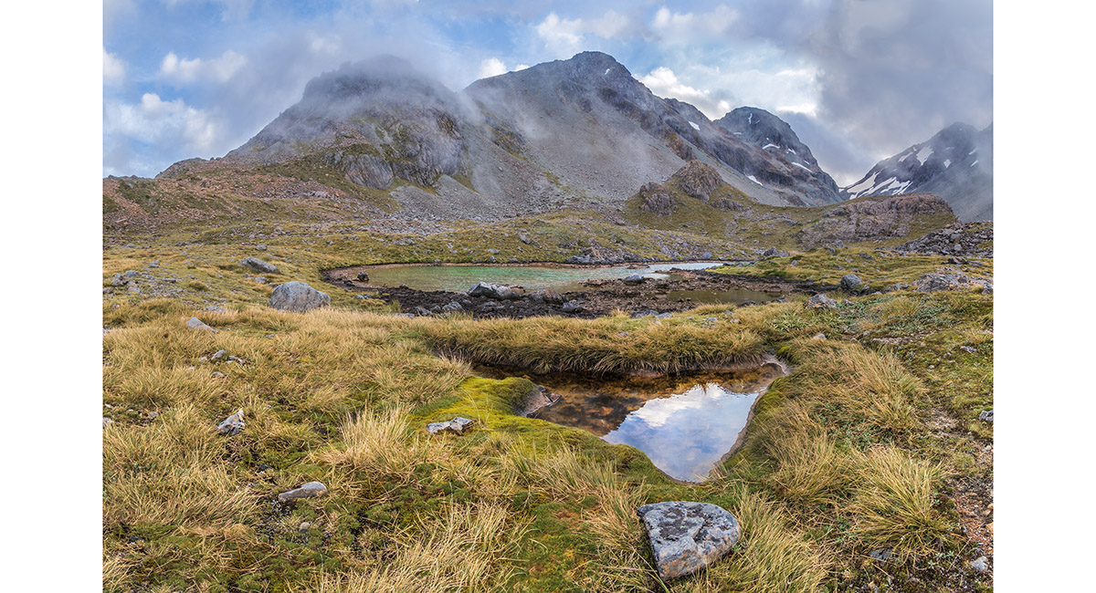
Ariels Tarns (1,350m), with Whitehorn Pass centre

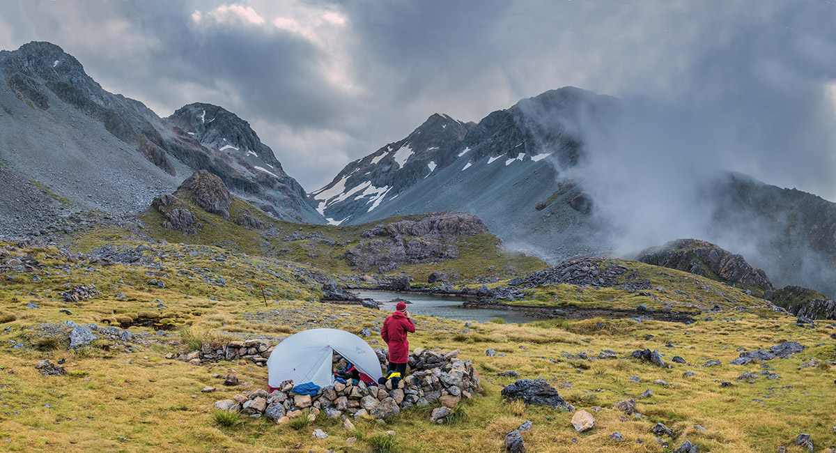
Our campsite at Ariels Tarns

Ariels Tarns, with Mount Isobel behind


Ariels Tarn, with Whitehorn Pass right of centre


Ariels Tarns (1,350m), with Whitehorn Pass left of centre


Ariels Tarn

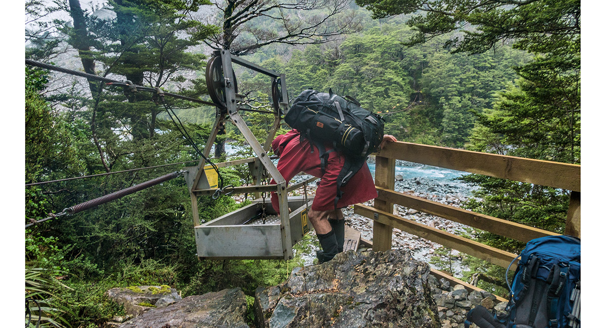
Clough Cableway, spanning White River, just east of Taipoiti River

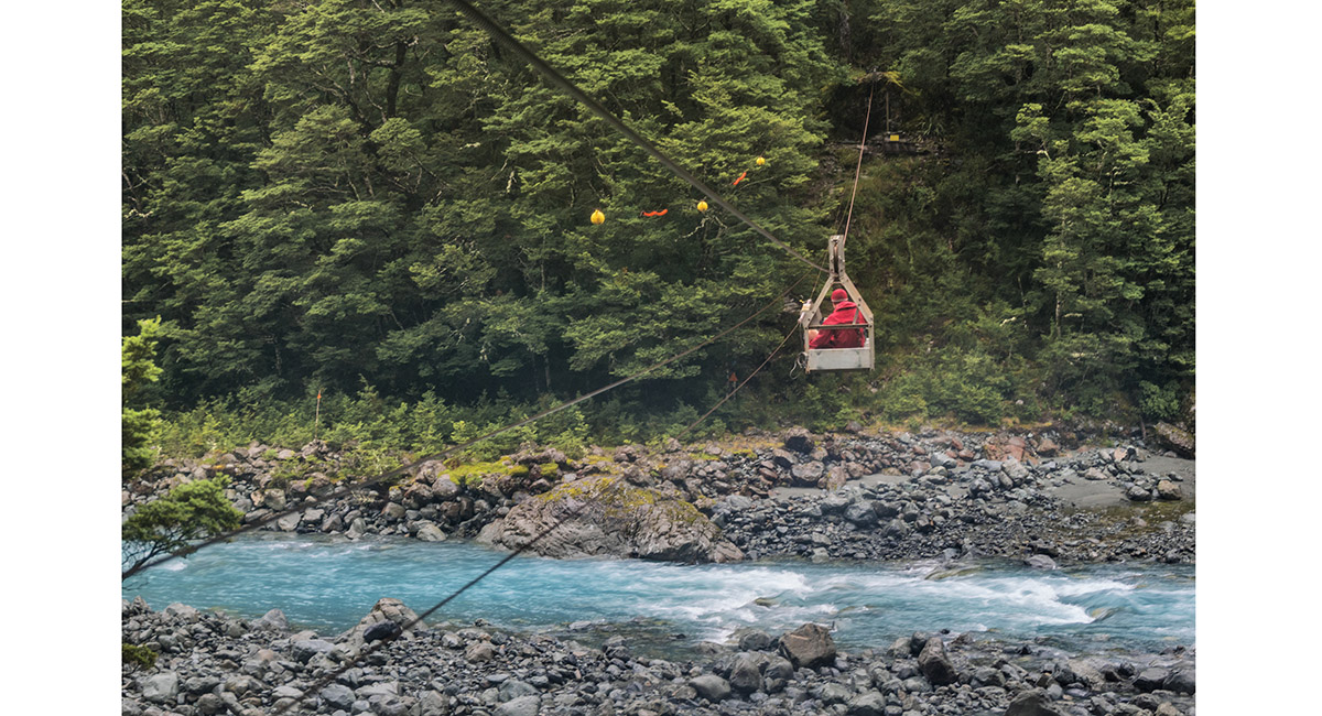
Clough Cableway, spanning White River, just east of Taipoiti River

Read about it
Assumptions can be dangerous, Backcountry Jun 20 Free ride out, Wilderness Magazine Aug 20 Above the sandfly line Wilderness Magazine Oct 20 A spectacular perch Wilderness Magazine Dec 20 Worth sweating for # 13 NZ Photographer Feb 22
To order a print or web resolution file of any image you see in this slide show, just right click the image, click “Copy Image URL” and paste in to the “Your message” box of our Contact Us form. Please also note, for each image, if you want a print or web resolution file. We will get back to you as soon as possible to confirm price and payment details.
Open Contact Us in a new window to paste Image URL(s) easily