Annapurna Circuit – Manang to Tilicho Lake
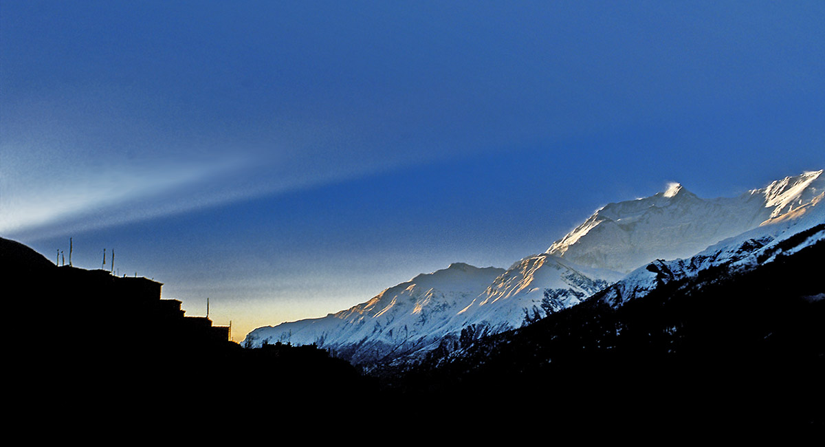
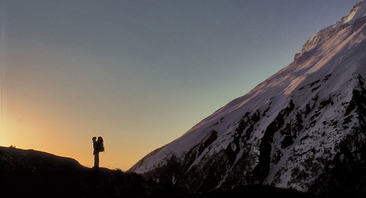
Manang, in silhouette at left and Manaslu, spot-lit by dawn rays

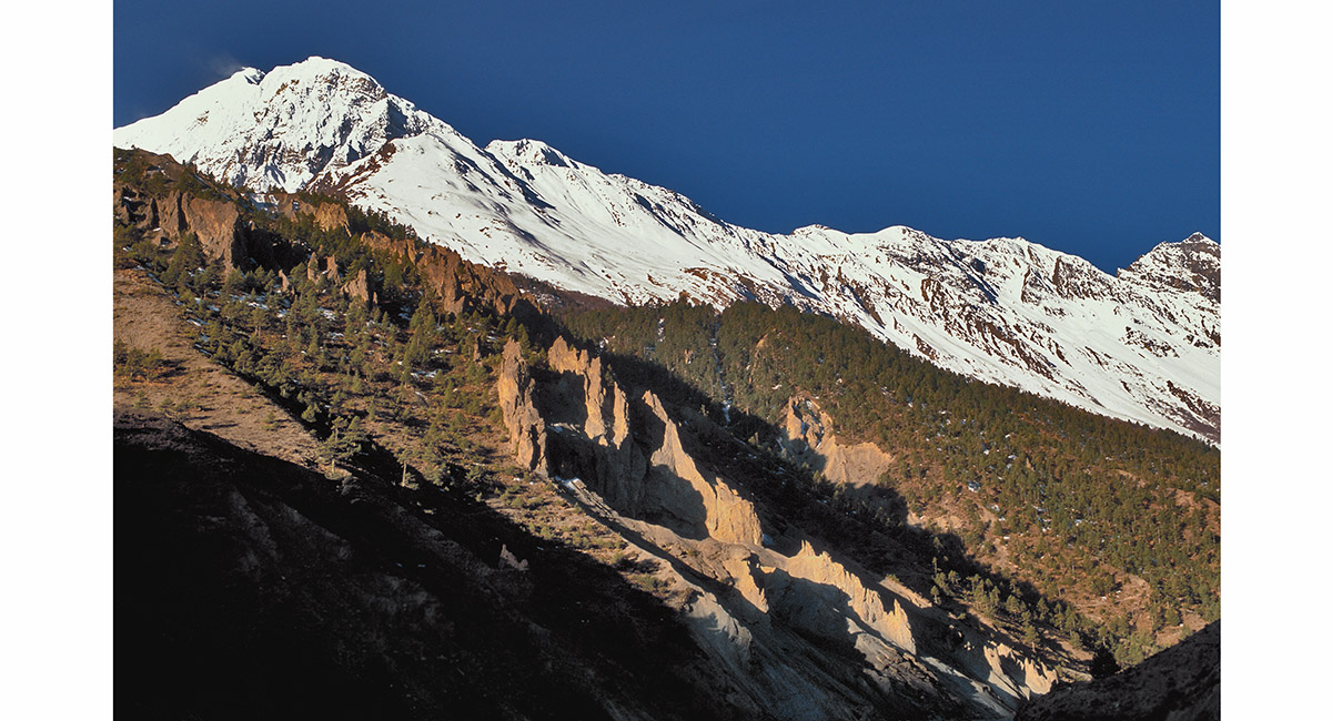
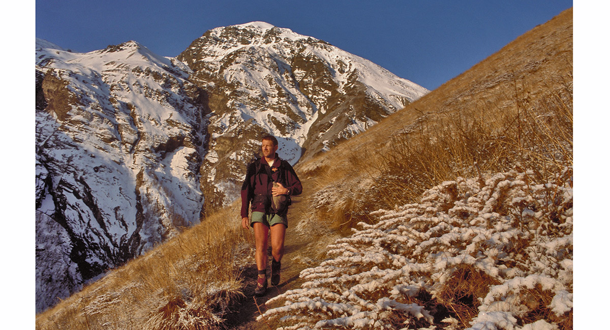
As I crossed the Marsyangdi Khola above Manang, unusual landforms came into view. Behind them the snow covered Muktinath Himal bars the way into the Kali Gandaki valley

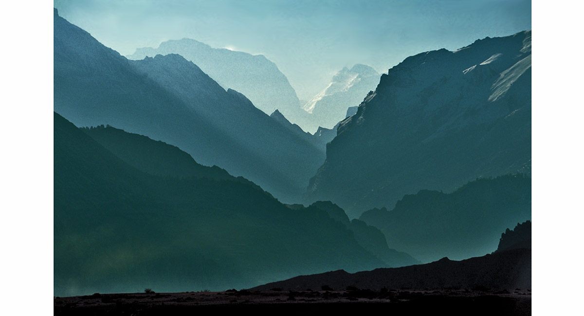
Looking back towards Manang from the top of the opposite valley wall, revealed layer upon layer of jagged, interlocked ridges

Looking back towards Manang from the top of the opposite valley wall, revealed layer upon layer of jagged, interlocked ridges

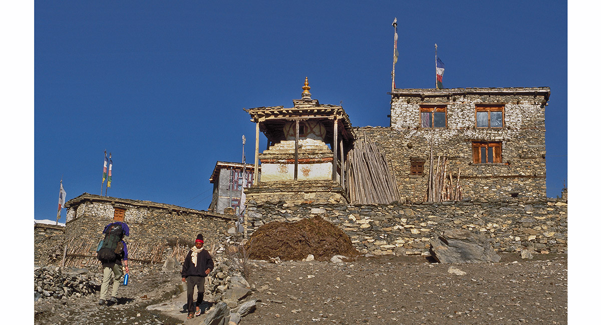
Entering Kangsar (3,750m)

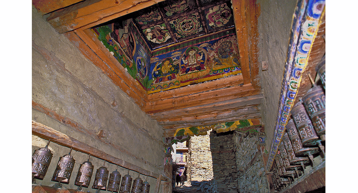
Inside the village gate house, Kangsar

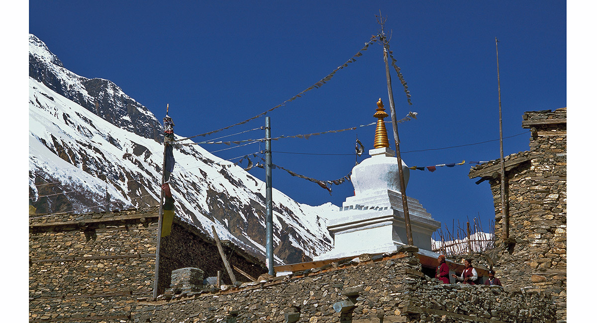
Kangsar Chorten

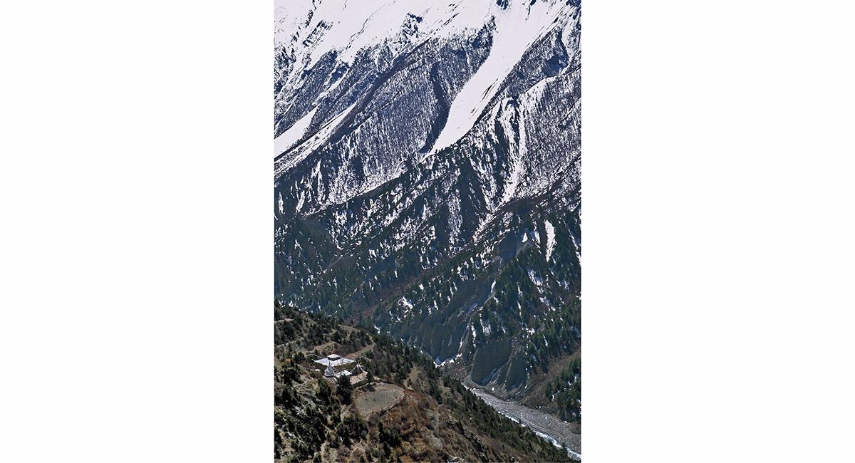
True seclusion. Only one monk resides at this gompa, perched on the valley side above Kangsar

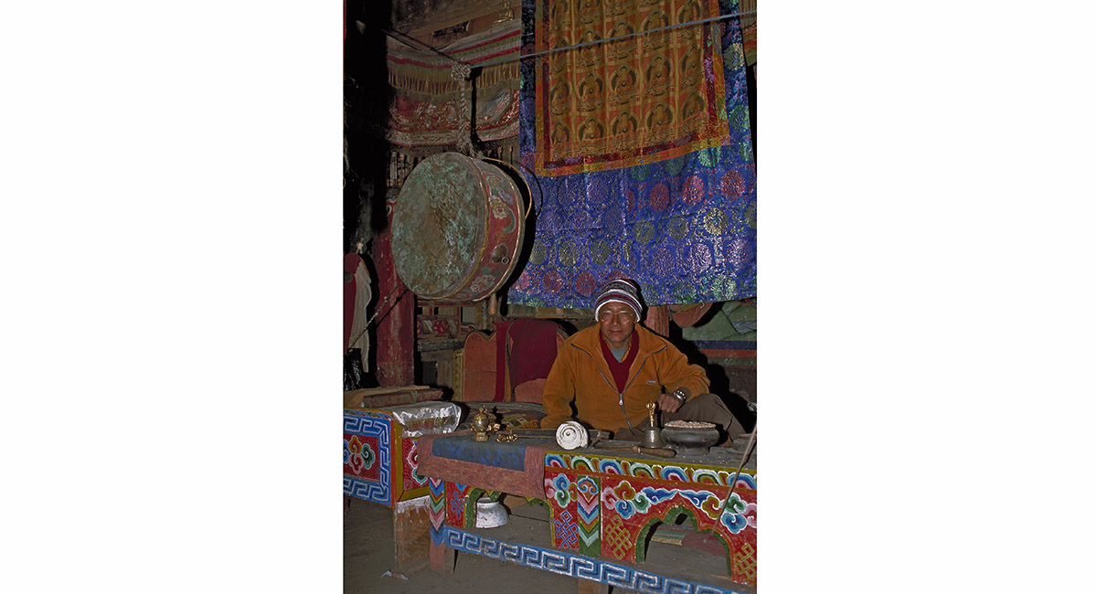
The abbot of the gompa above Kangsar

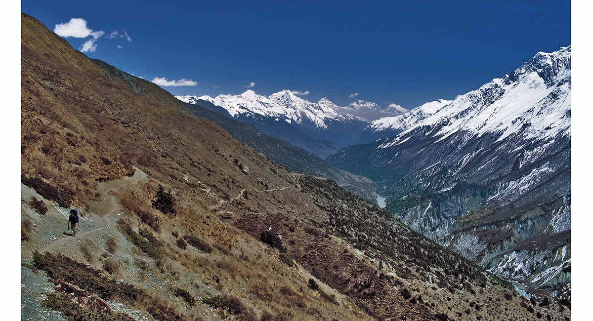
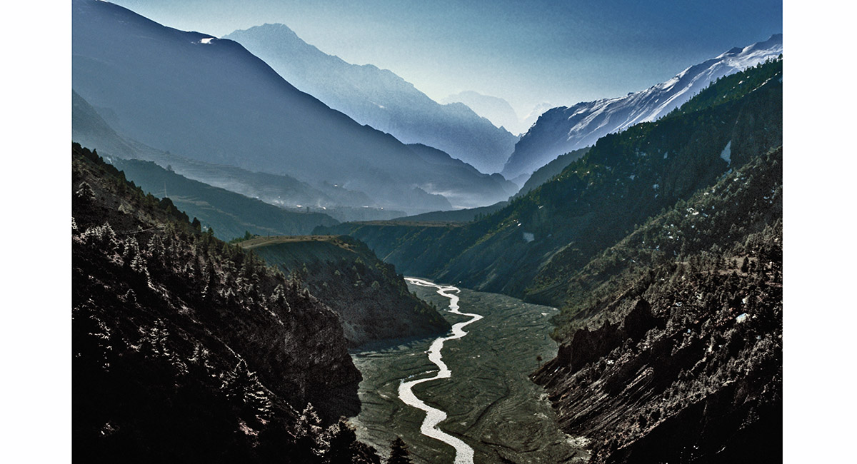
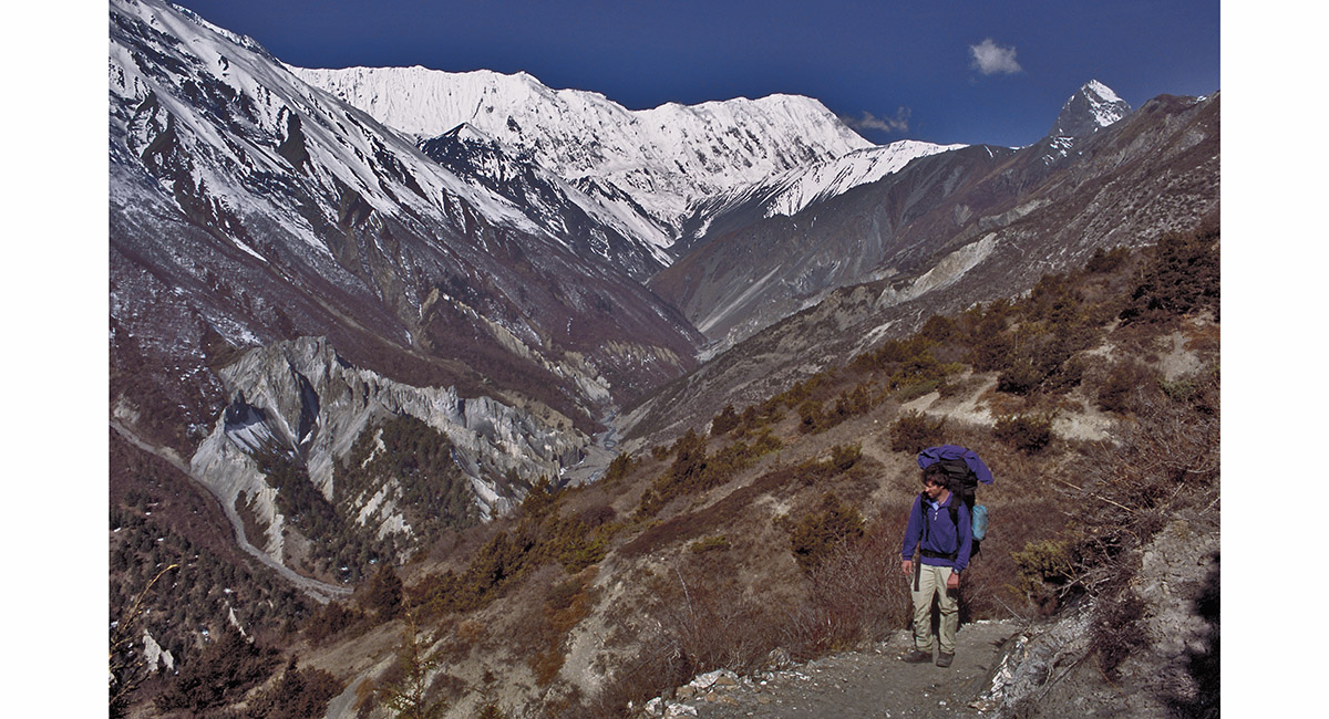
Looking back towards Manang, from a point at about 4,000m on the trail to Tilicho Base Camp, I was rewarded with this lovely panorama. On the right are the flanks of Gangapurna (7,454m) and in the middle distance, Manaslu

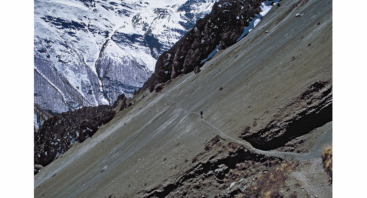
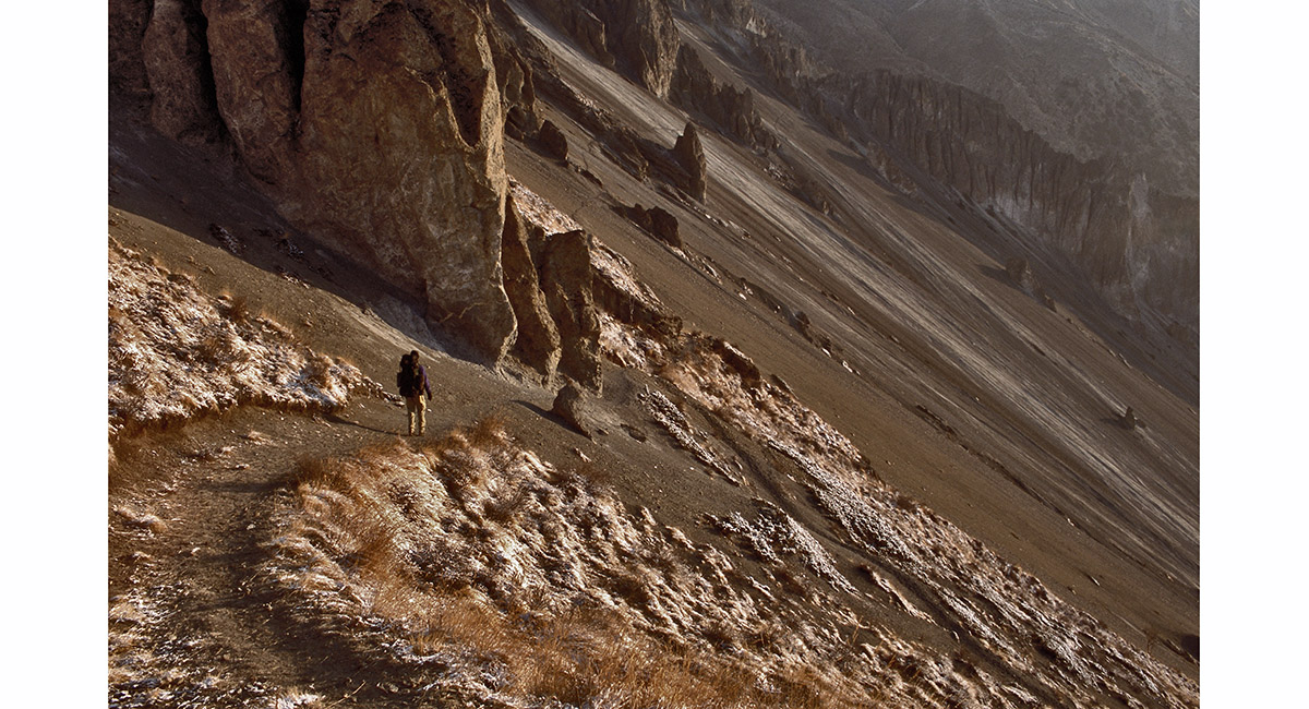
About 2 hours before Tilicho Base Camp, the trail offers two options. I chose the one shown in the following 4 images – a route that traverses huge scree slopes, punctuated by lunar-like rock formations. The alternative demands a climb up to 5,000m, followed by a very steep descent back down to 4,200m

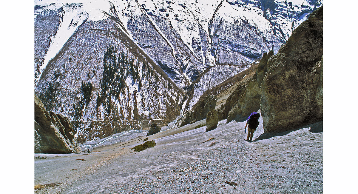
On the trail approaching Tilicho Base Camp, traversing huge scree slopes, punctuated by lunar-like rock formations

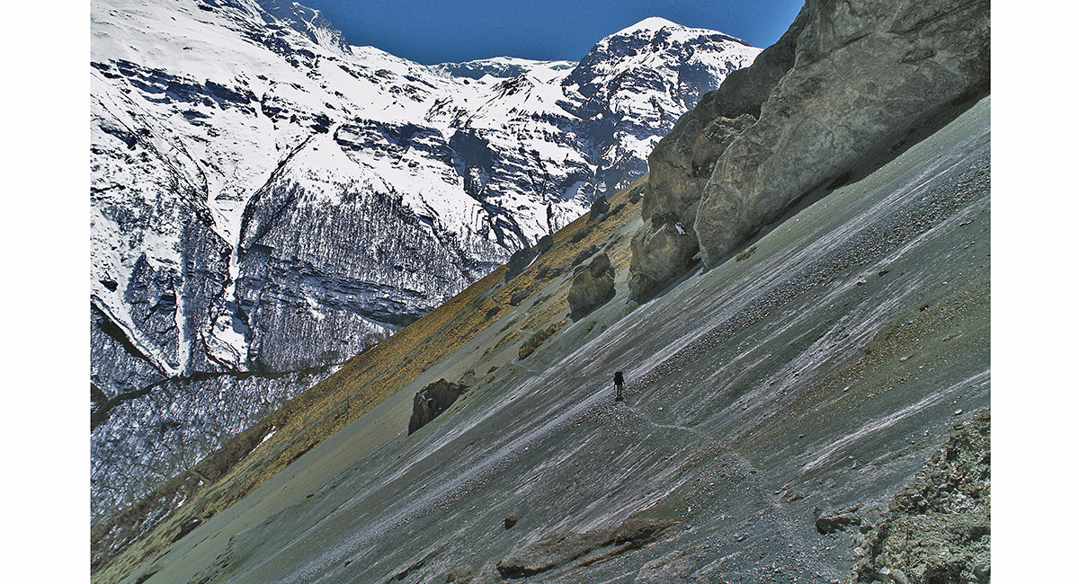
On the trail approaching Tilicho Base Camp, traversing huge scree slopes, punctuated by lunar-like rock formations

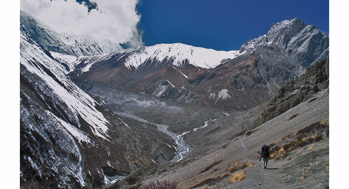
Finally, around a broad bend Tilicho Base Camp came into view. The trail beyond there to the Lake itself traverses left, to the point where the base of the cloud is. From there, Tilicho Peak (7,134m) disappears into the clouds

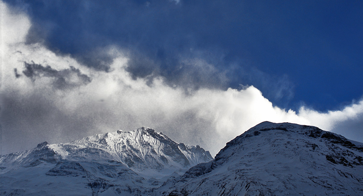
A view from Tilicho Base Camp towards Tarke Kang (Glacier Dome - 7,202m). The weather was very changeable, becoming quite cold and snowy in the afternoon

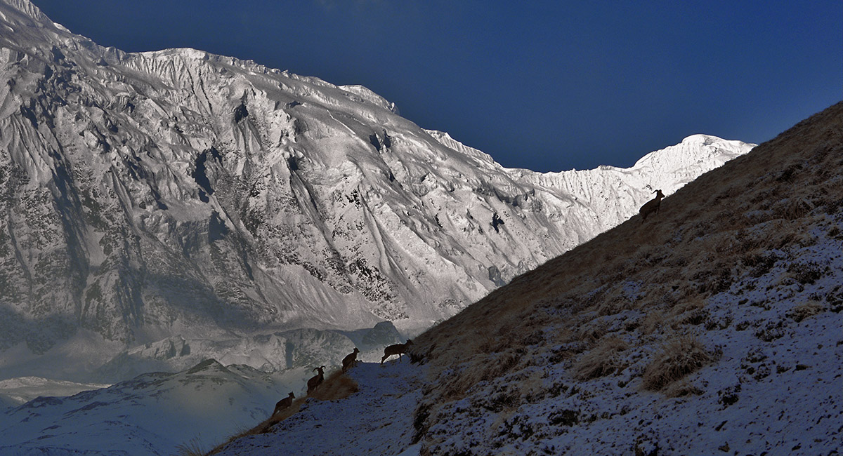
Soon after we set off from Tilicho Base Camp, before the sun’s rays had penetrated the valley, we came across a small herd of Himalayan Thar

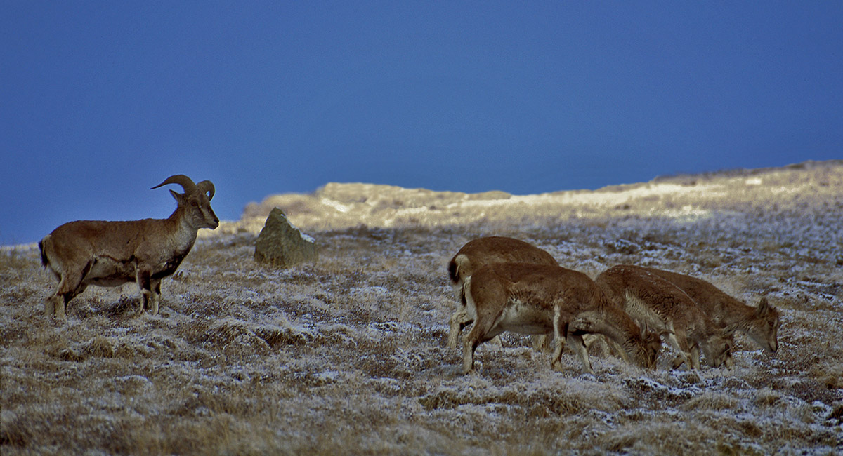
Although cautious, they did not panic and came quite close as they past. Viewed from the trail to Tilicho Lake

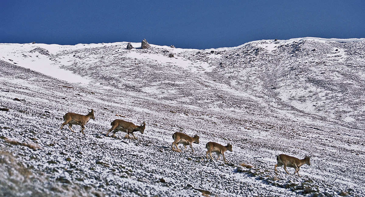
Slowly they passed, carrying on in the direction they were headed before meeting us. Viewed from the trail to Tilicho Lake

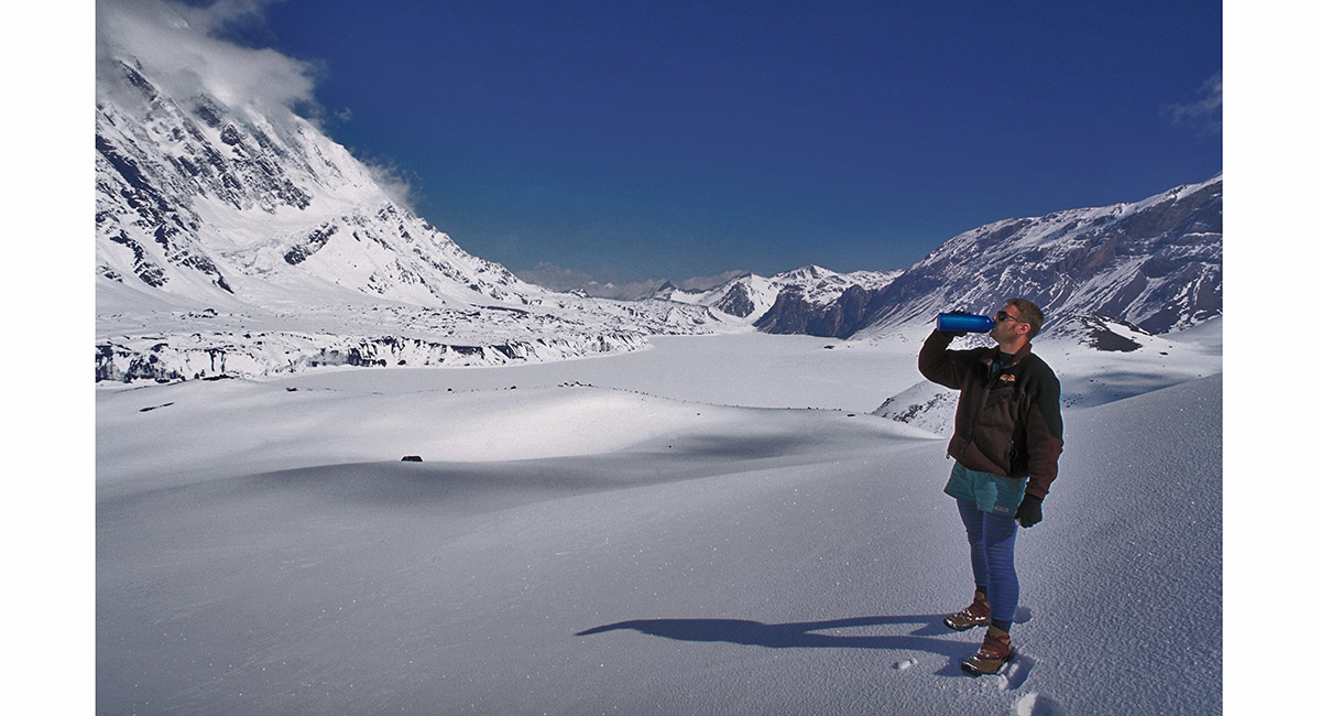
At Tilicho Lake (5,000m), it was time to quench the thirst. A cold wind blew, but the whole area was essentially a huge basin, washed in white. The sun reflected mercilessly on us from all sides, bouncing off the vast wall of Tilicho Peak (7,134m - at left)

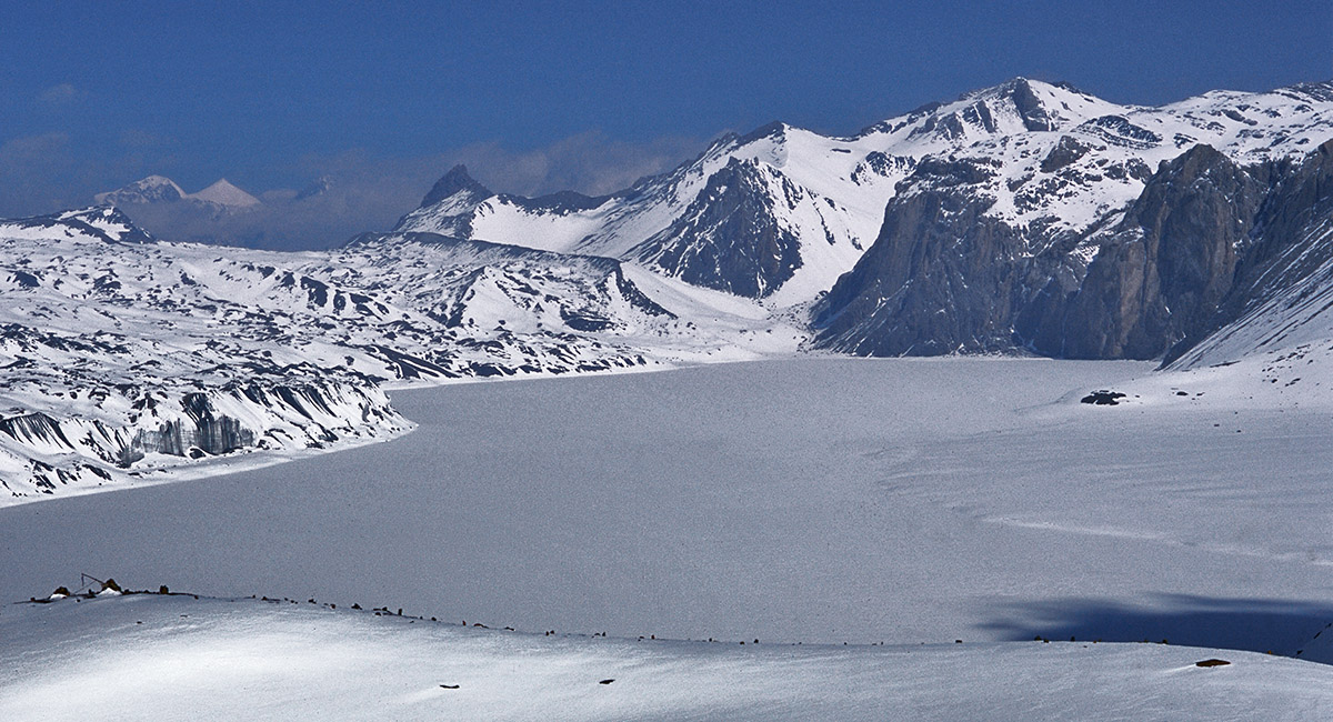
The flat frozen surface of Tilicho Lake in April

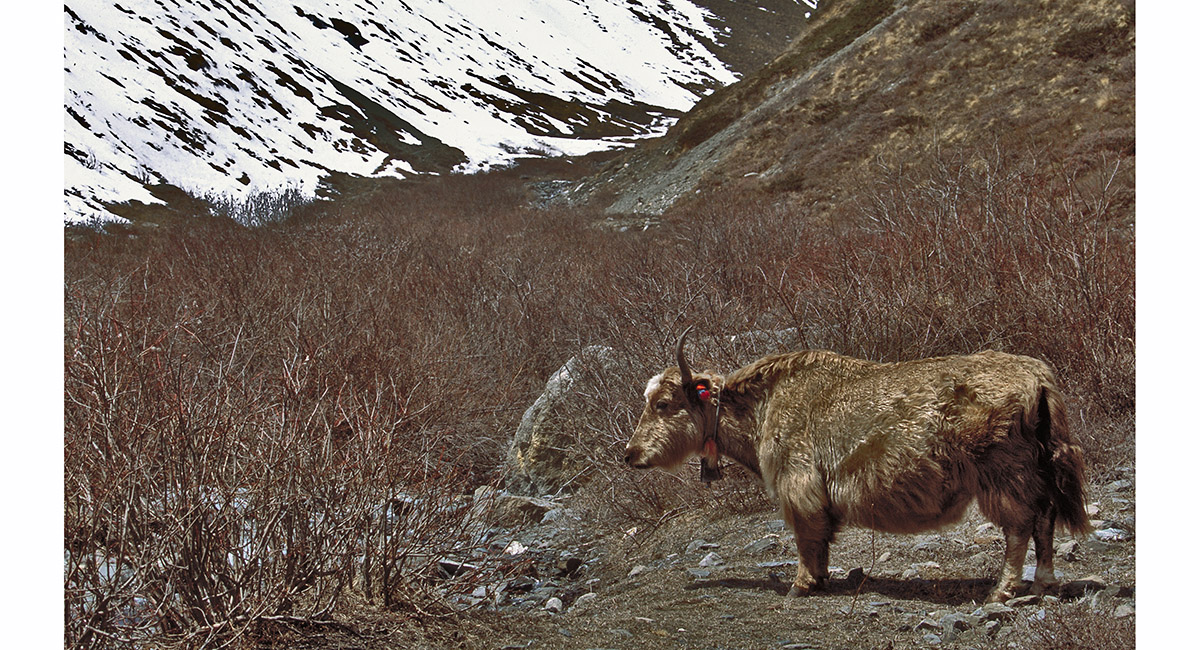
The world according to yaks – “no hurry, no worries”. Tilicho Base Camp

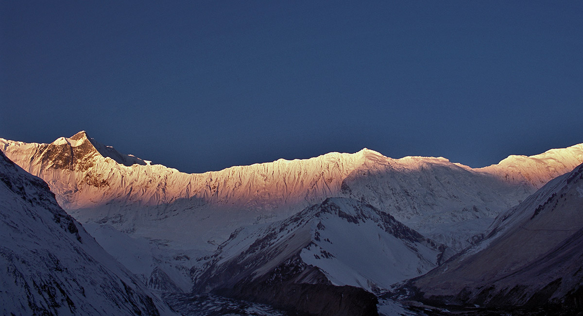
Leaving Tilicho Base Camp at dawn, I was rewarded with another light show, compliments of Mother Nature, this time illuminating the Grand Barrier, stretching from Tilicho Peak at right, across to Khangsar Kang (7,485m)

Above Tilicho Base Camp at dawn, compelled to pause

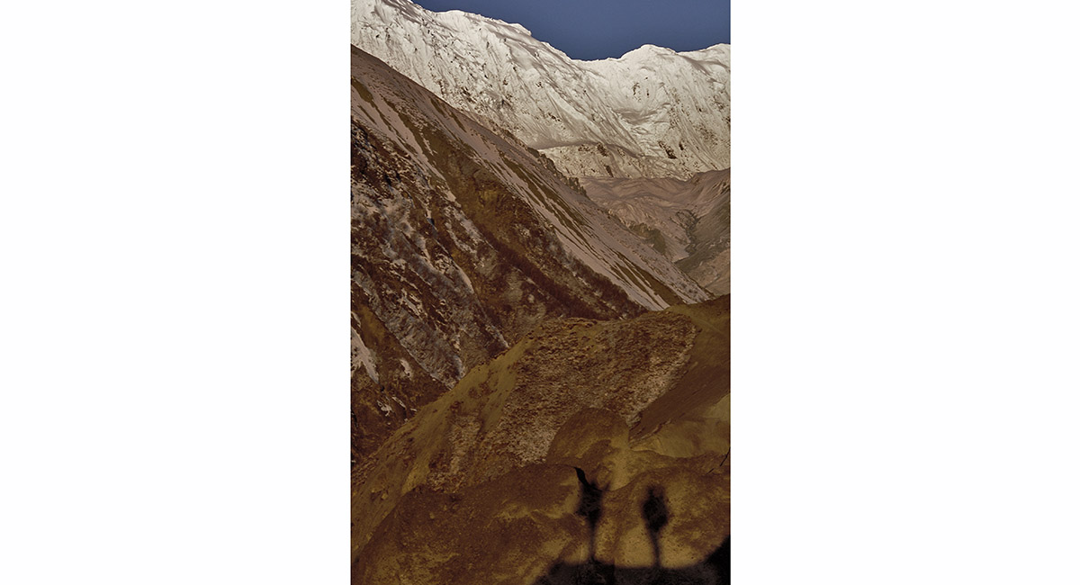
Above Tilicho Base Camp at dawn, even our shadows seemed to have something to say

Rounding the corner, the huge scree slopes between us and Kangsar loomed again. But this time they were considerably safer on account of their frozen, and hence stable, condition in the early morning

Huge scree slopes between Tilicho Base Camp and Kangsar, bathed in dawn sunlight

Above Kangsar, an alternative route splits upwards, leading to a summer settlement about 200m above Kangsar

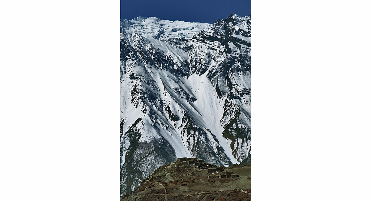
Even at this high altitude, the surrounding mountains dwarf the summer settlement of Kangsar > Letdar to Thorong La

To order a print or web resolution file of any image you see in this slide show, just right click the image, click “Copy Image URL” and paste in to the “Your message” box of our Contact Us form. Please also note, for each image, if you want a print or web resolution file. We will get back to you as soon as possible to confirm price and payment details.
Open Contact Us in a new window to paste Image URL(s) easily