Singalila Ridge, December 2013
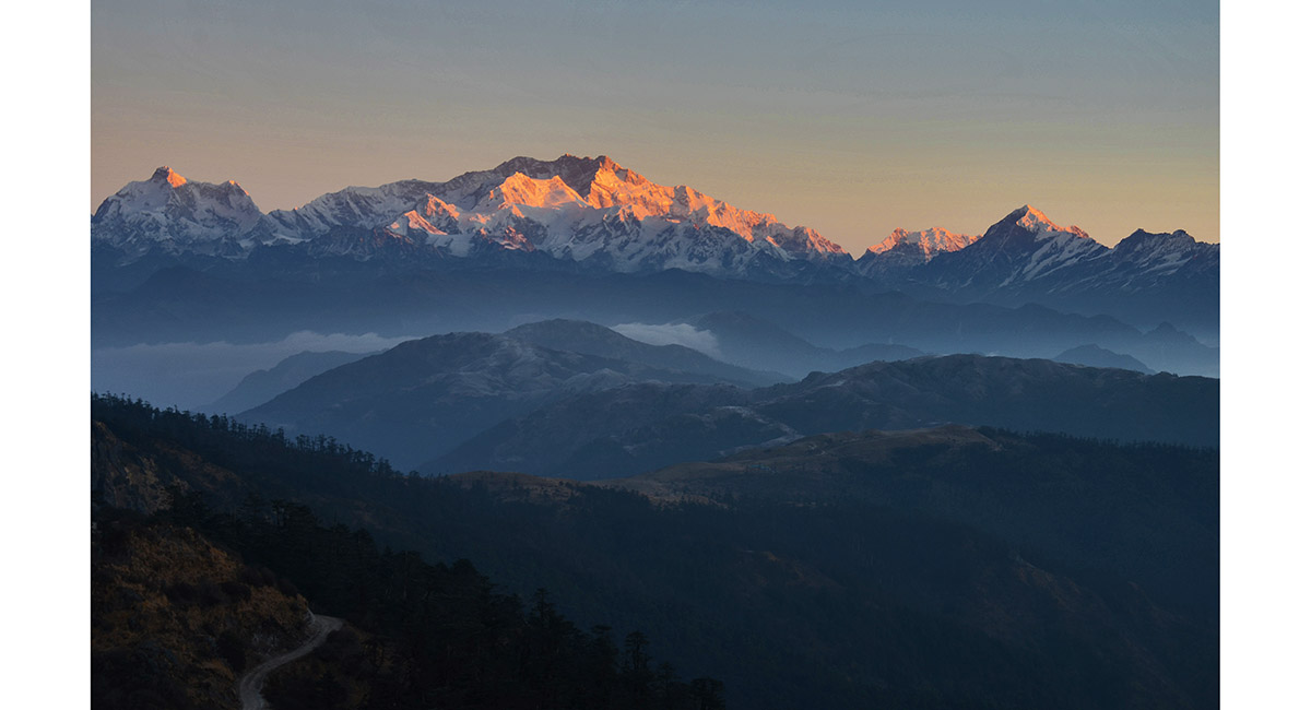
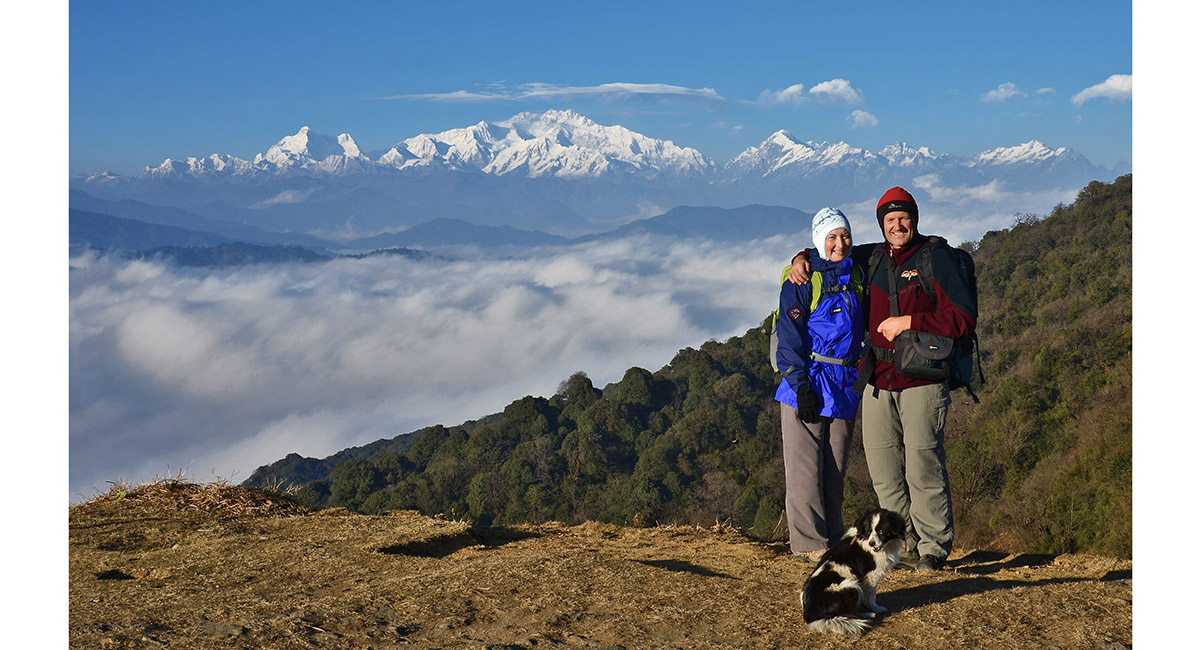
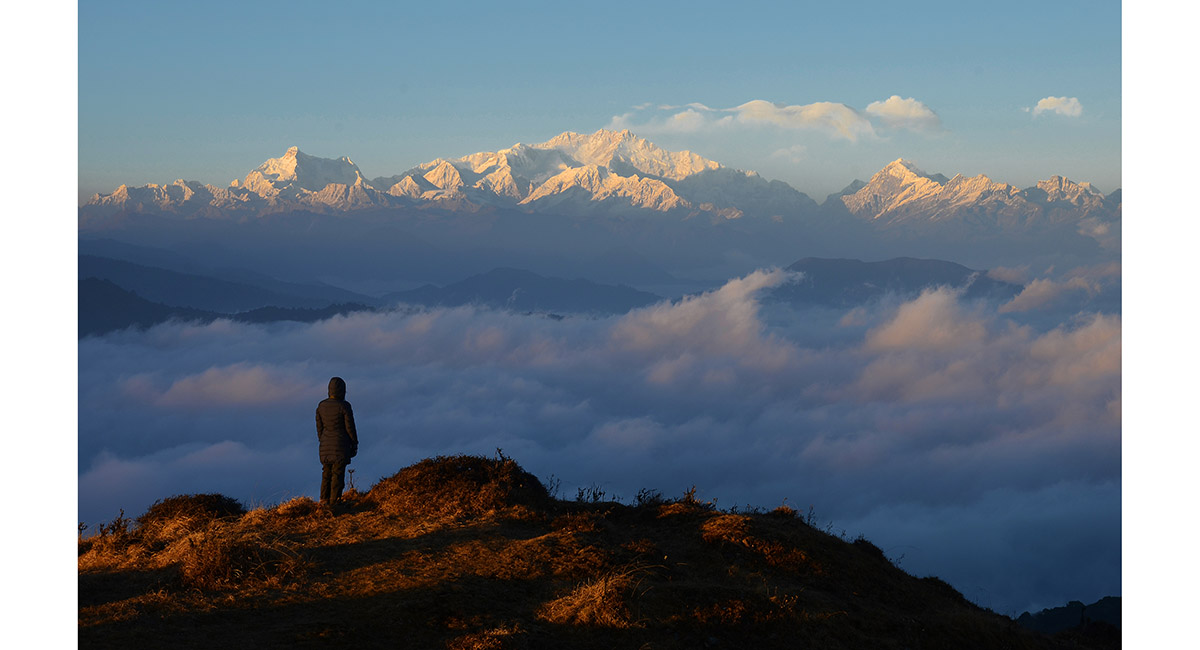
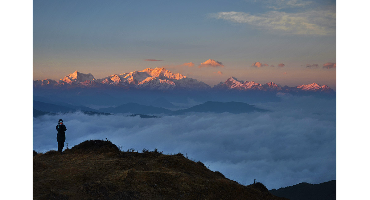
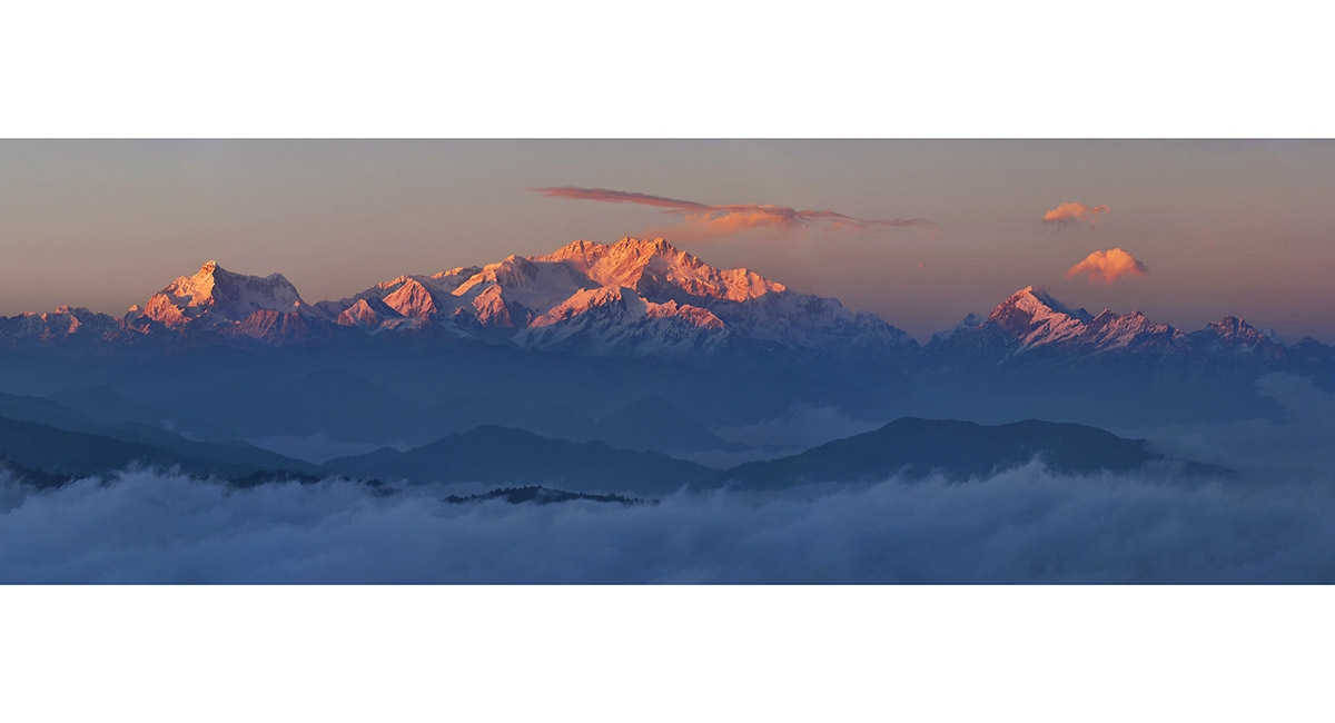
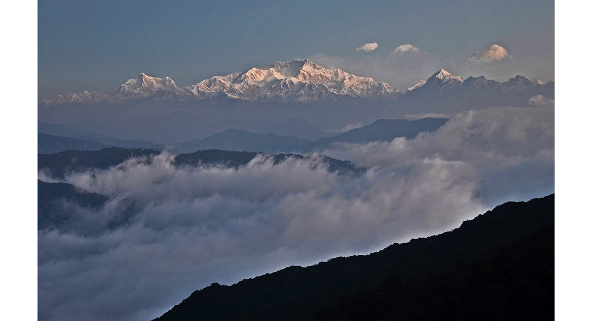
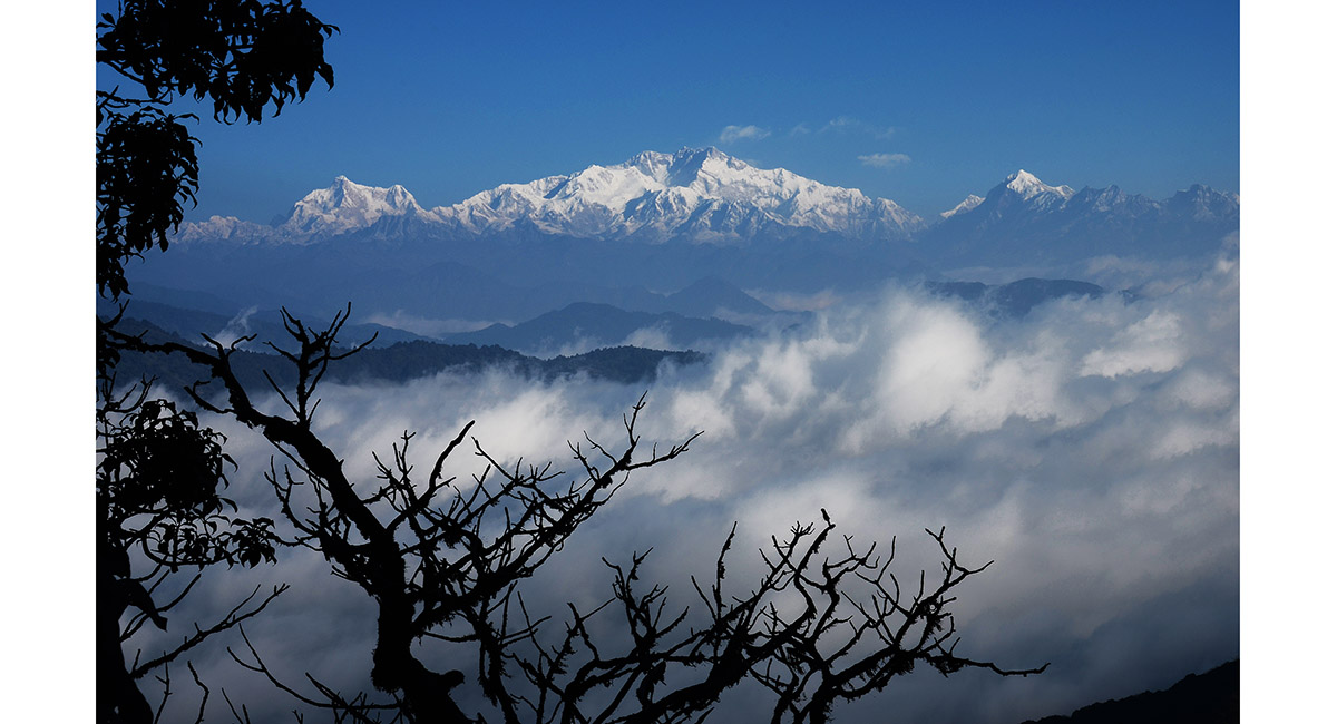
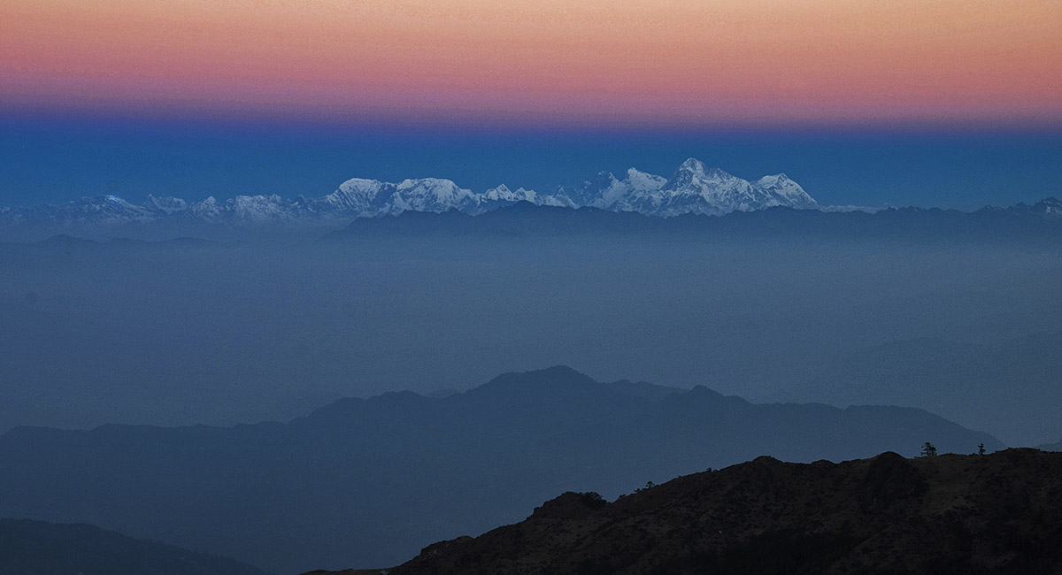
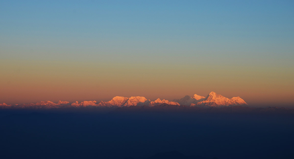
The star of the show on this trek that traces the India/Nepal border - the Kanchenjunga massif, seen here from Sandakphu (3,650m) at sunset

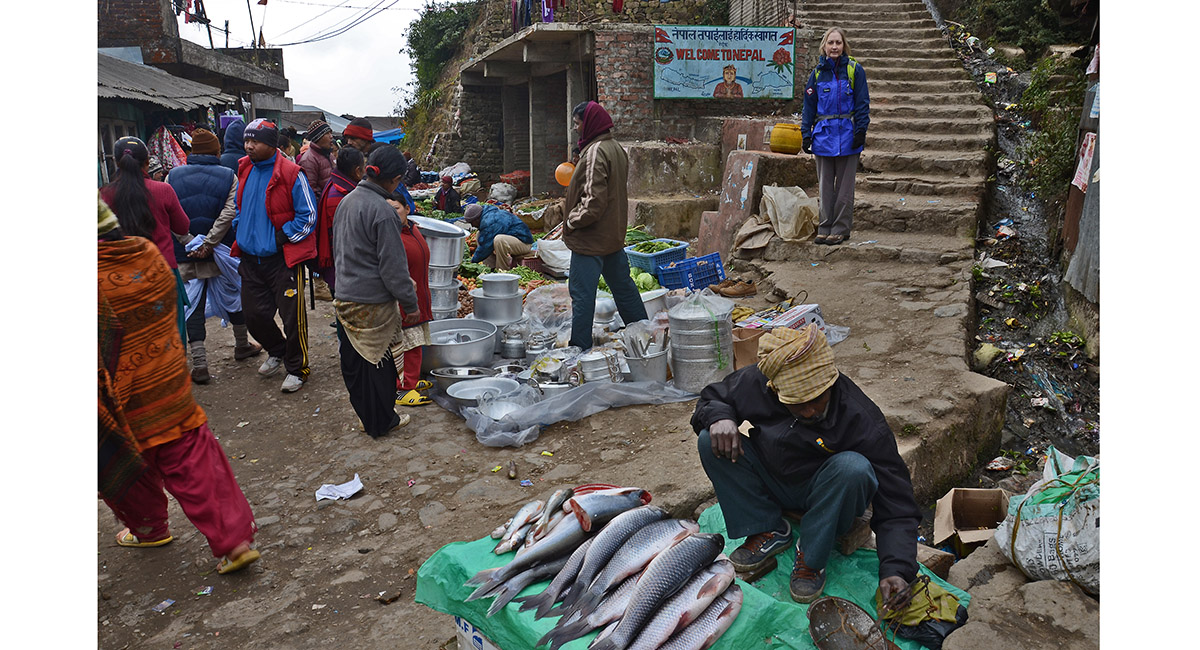
Standing just inside Nepal, at the border town of Mana Bhanjang (2,130m)

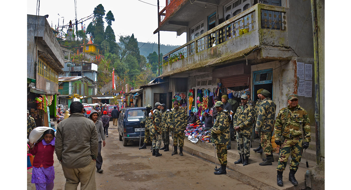
Border troops at Mana Bhanjang

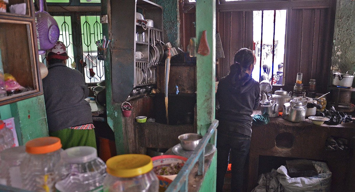
Chai shop at Mana Bhanjang

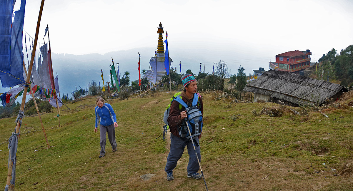
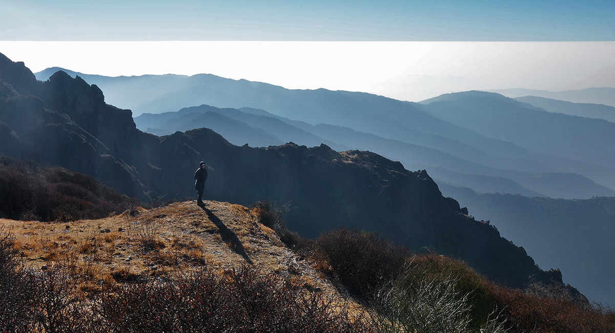
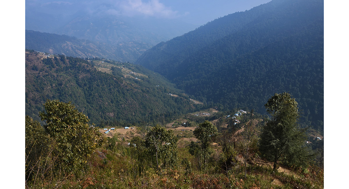
Ascending open country near the Chitray Gompa (2,500m)


Passing a Gompa at Menghina (2,900m)

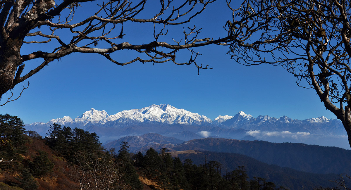
The reward for the first day's walking - this view of Kanchenjunga, from Tumling (3,000m)

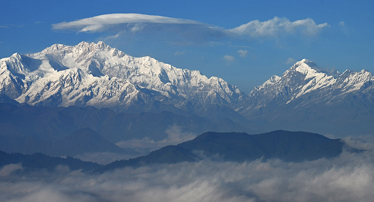
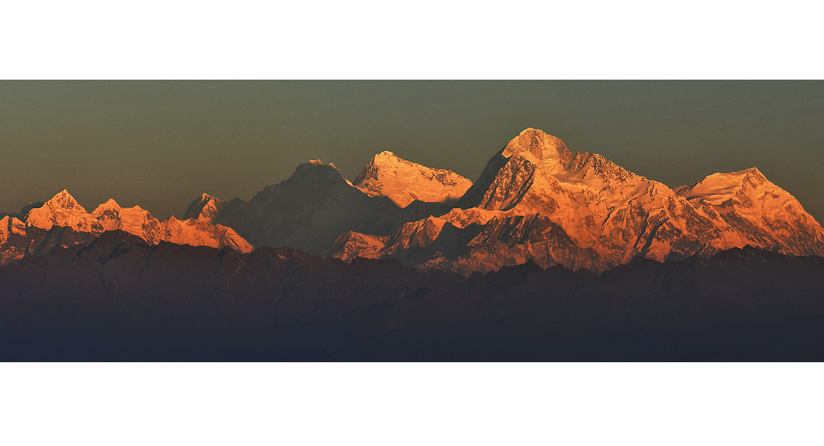
Kanchenjunga (8,586m, left) and Pandim (6,691m, right)

From left - Kumbakarna/Janu (7,710m), Kabru North (7,338m), Kanchenjunga (8,586m - the highest point), Kabru Dome (6,600m), Simvo (6,811m, in shadow) and Pandim (6,691m)

Sunset at Tumling


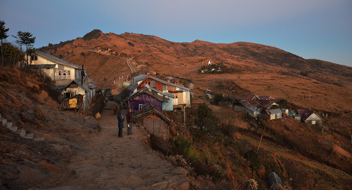
Tumling (3,000m)

Dawn view from Tumling

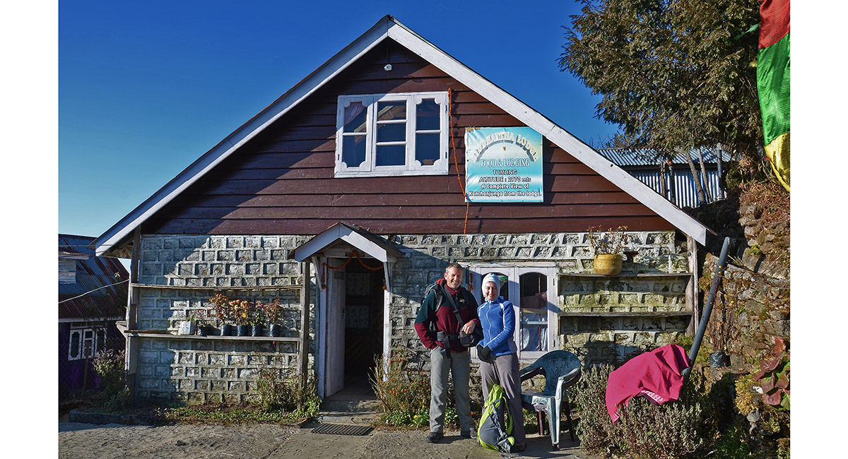
Our very cosy lodgings at Tumling

Tracing the cobbled jeep road (which now goes all the way to Phalut) beyond Tumling

Kumbakarna/Janu (7,710m), Kanchenjunga (8,586m) and Pandim (6,691m)

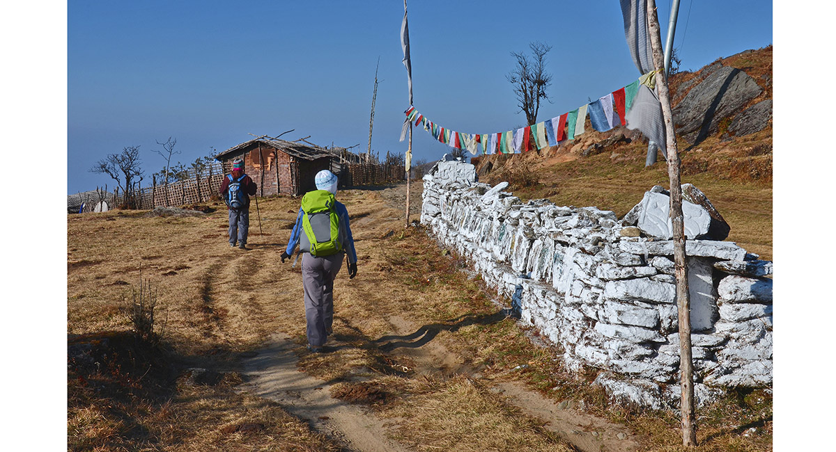
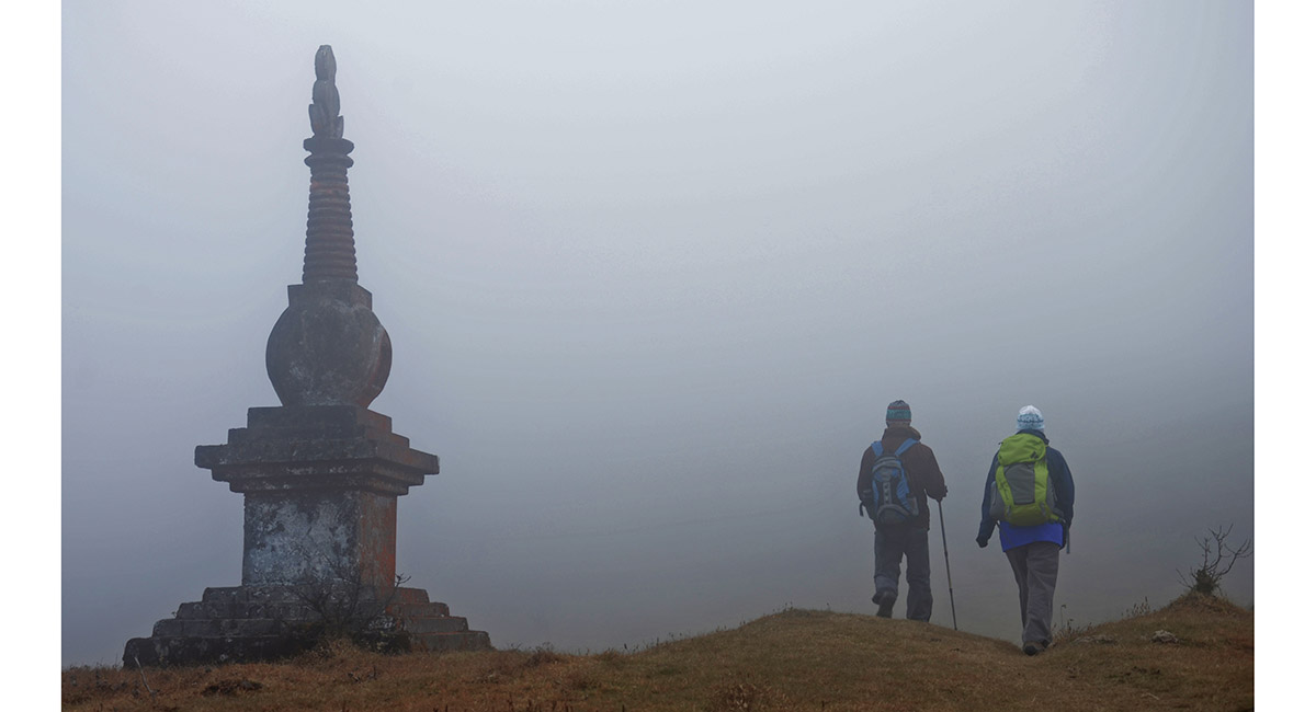
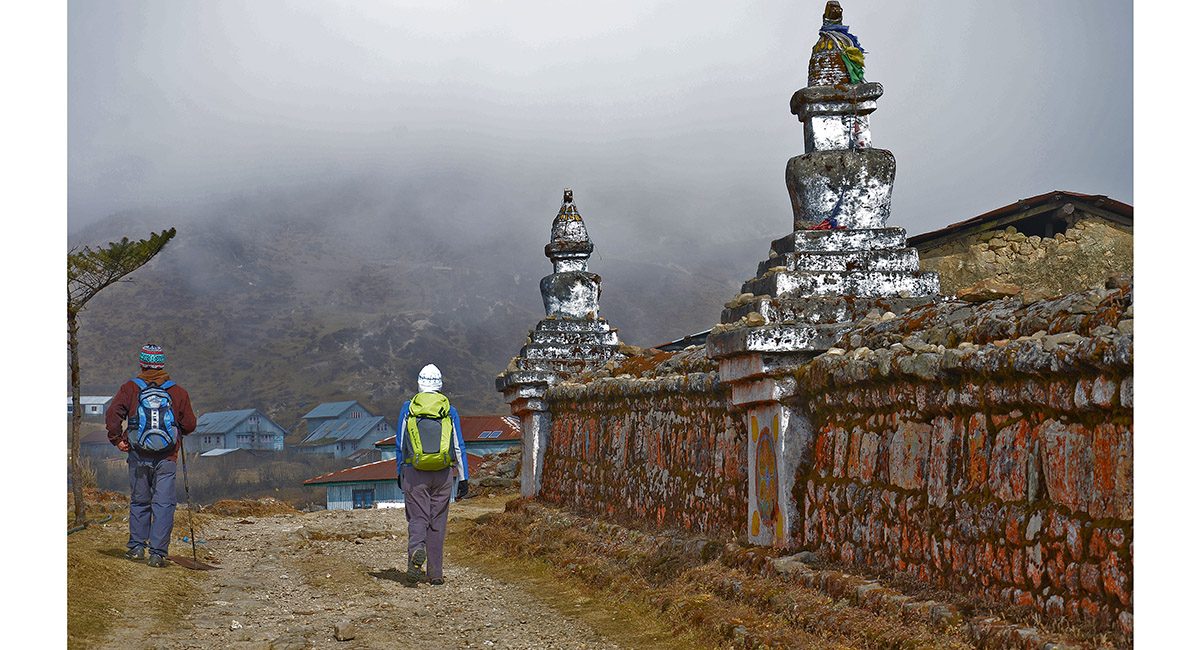
Mani wall before Jau Bari

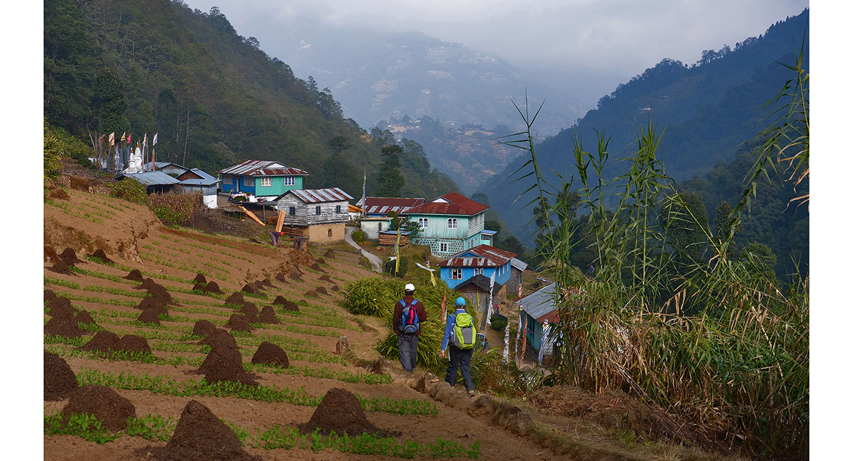
Approaching Jau Bari (2,900m)

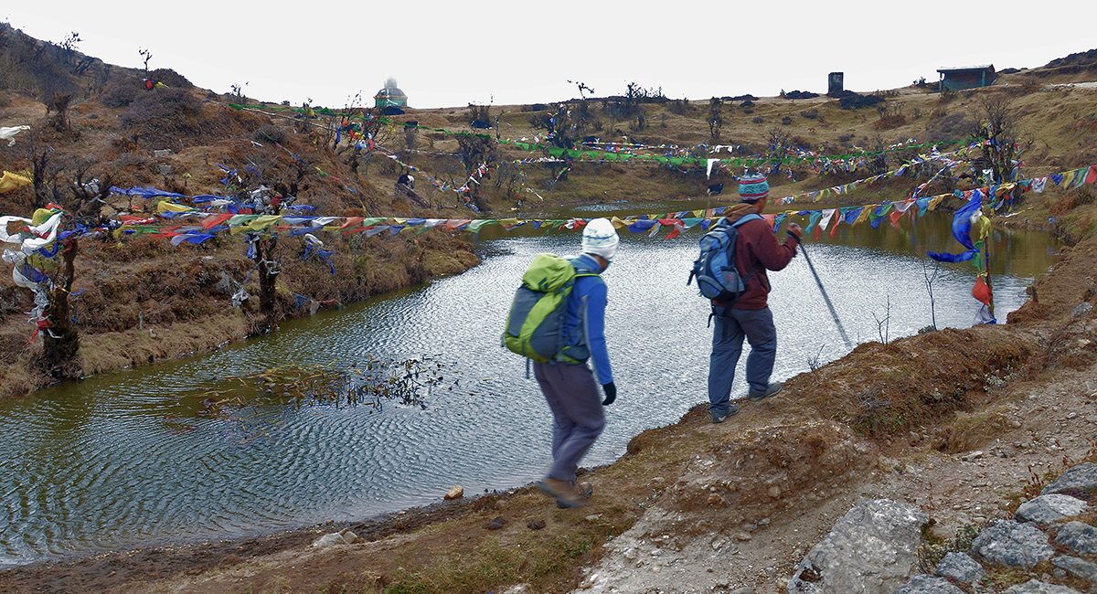
A sacred lake below Chowri Chowk (3,100m)

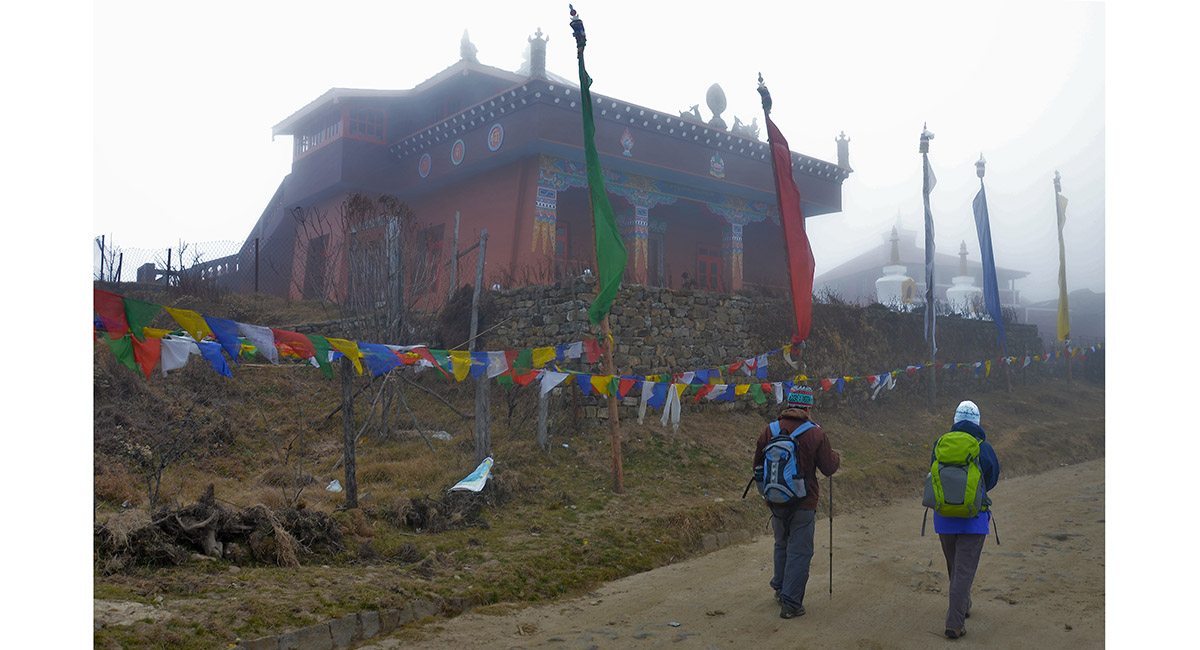
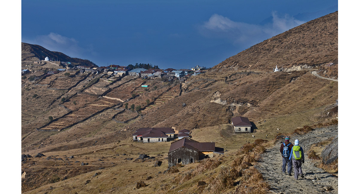
Entering Chowri Chowk (3,100m)

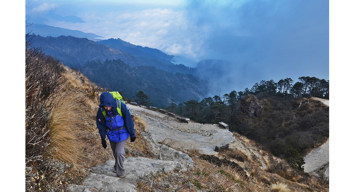
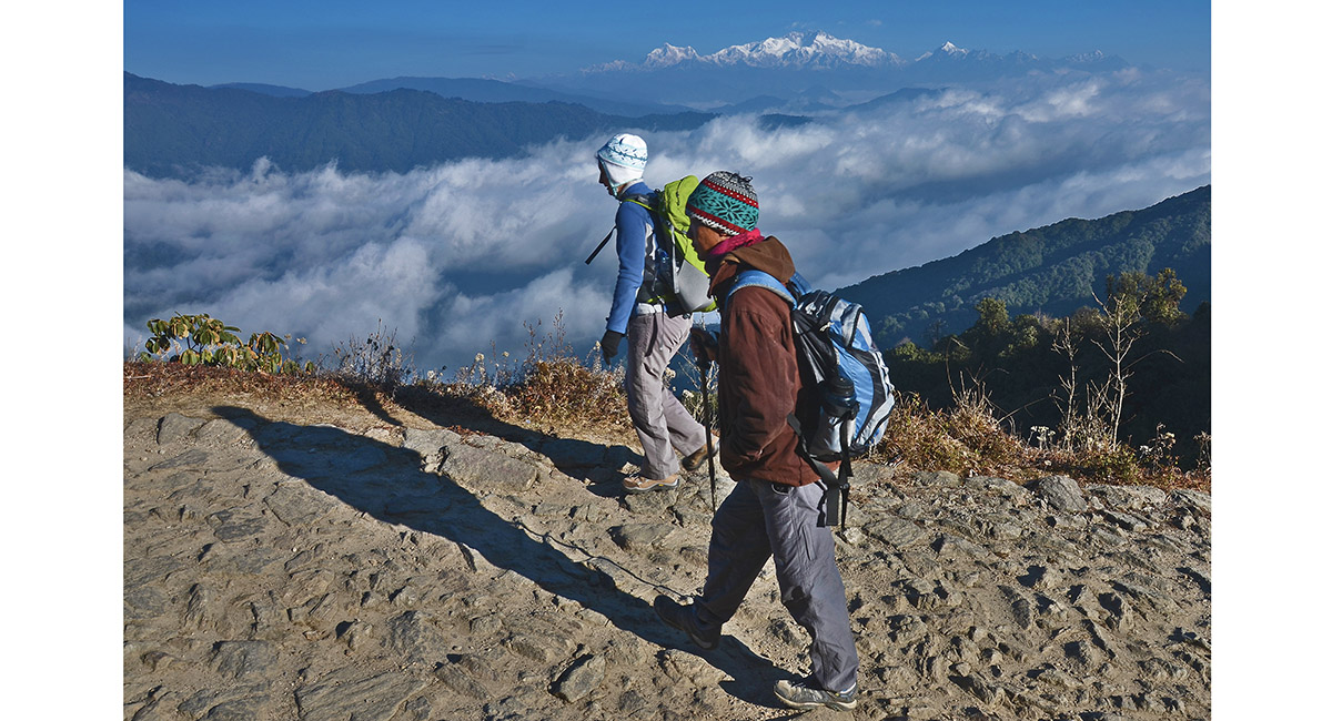
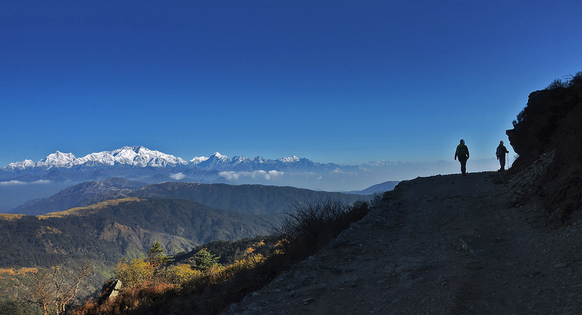
On the steep ascent to Sandakphu, sometimes on foot trails, sometimes on the jeep road

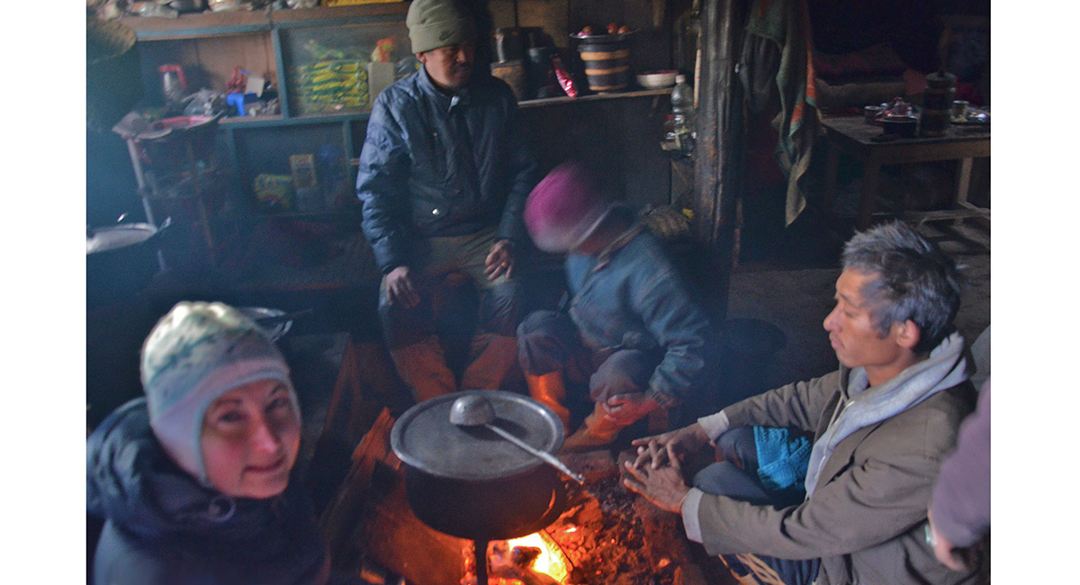
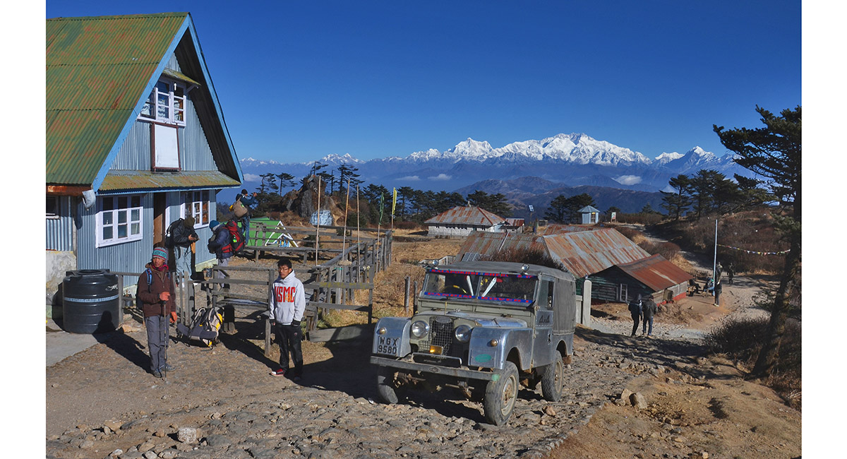
The cook house at our lodgings a little beyond Sandakphu (3,620m)

The Everest group at dawn, near Sandakphu. The highest peak second from right is Makalu (8,481m). further right is Chomolonzo (7,804m). Everest (8,850m) is left of Makalu, then Lhotse (8,516m), Nuptse (7,861m), Baruntse (7,129m) and Chamlang (7,319)

The big boys lighting up at dawn

The Everest group at dawn, near Sandakphu. The highest peak second from right is Makalu (8,481m). further right is Chomolonzo (7,804m). Everest (8,850m) is left of Makalu, then Lhotse (8,516m), Nuptse (7,861m) and Baruntse (7,129m)

Kanchenjunga and friends, near Sandakphu

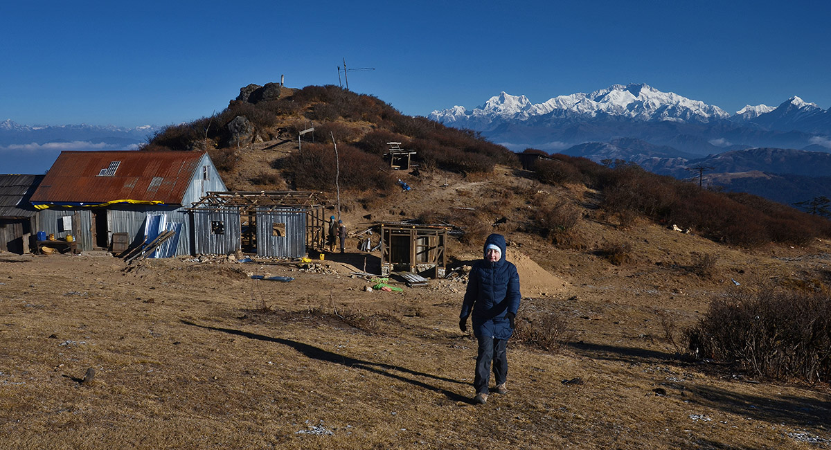
Our lodgings (3,650m), with a superb view of Kanchenjunga. The view of the Everest group was just as good, out of this picture on the left

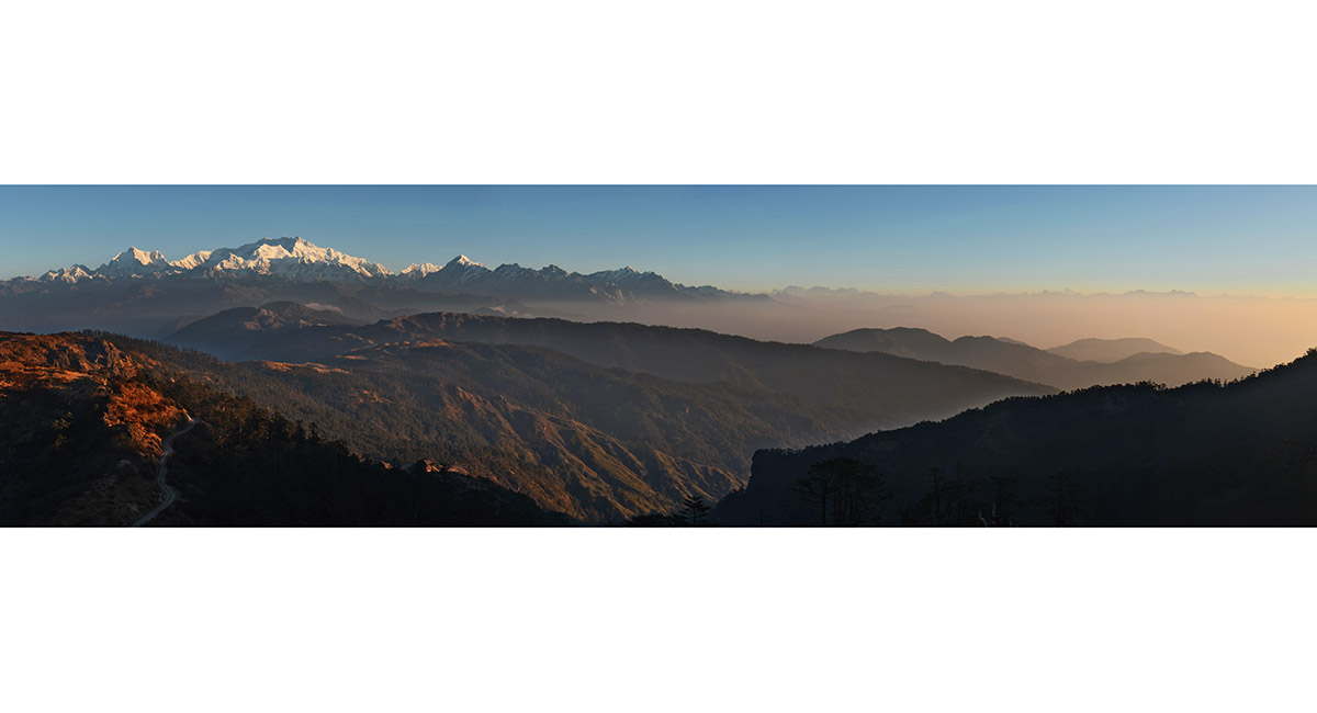
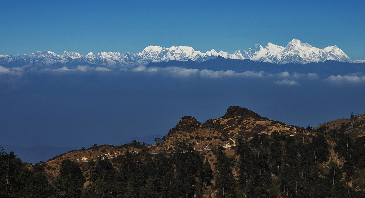
Looking south to India from near Sandakphu


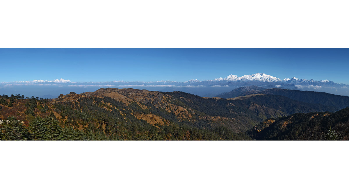
The Everest group is left and Kanchenjunga group right. The ridge heading right in the foreground leads to Phalut (3,590m)

Kanchenjunga group

The Everest group, near Sandakphu. The highest peak second from right is Makalu (8,481m). far right is Chomolonzo (7,804m). Everest (8,850m) is left of Makalu, then Lhotse (8,516m), Nuptse (7,861m), Baruntse (7,129m) and Chamlang (7,319) is left of centre

Sandakphu (3,620m)

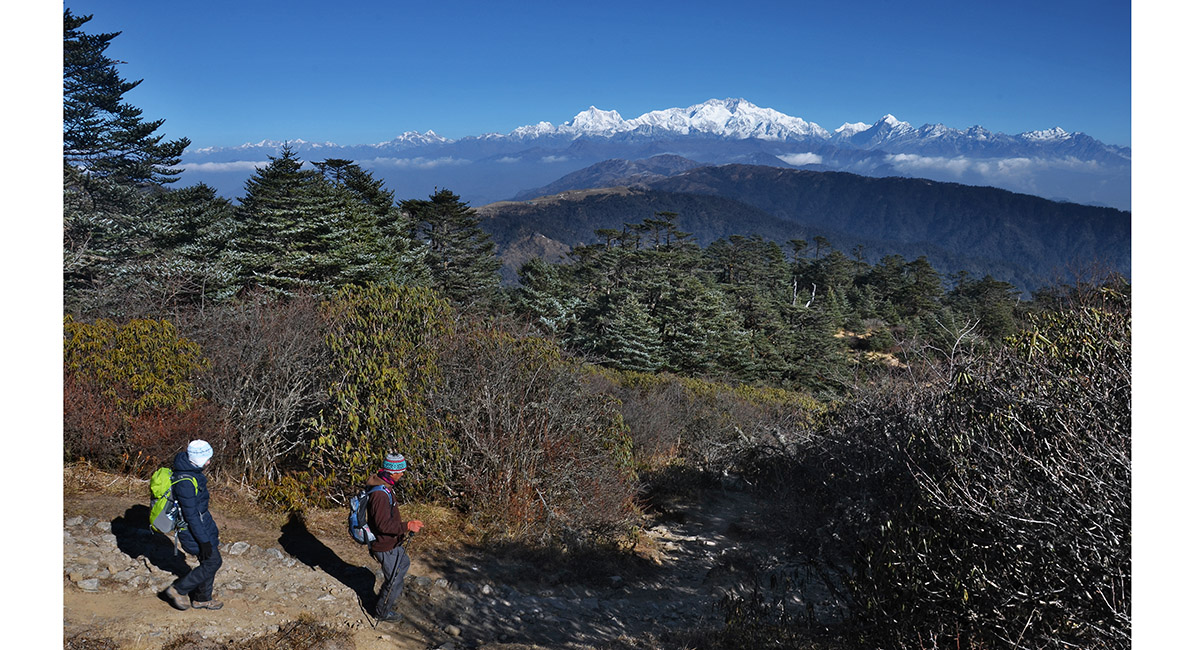
At the tree line en route to Sri Khola

Descending to Sri Khola


Sri Khola (2,100m)

Sri Khola


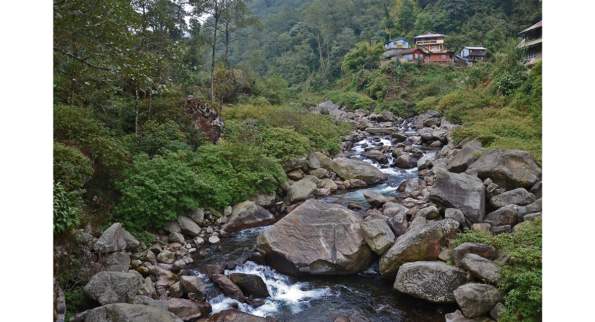
Shiri River, below Sri Khola

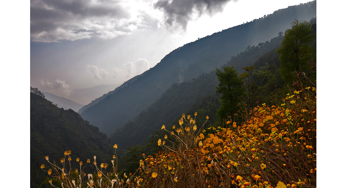
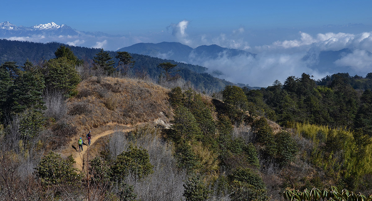
View towards Sikkim, near Rimbik

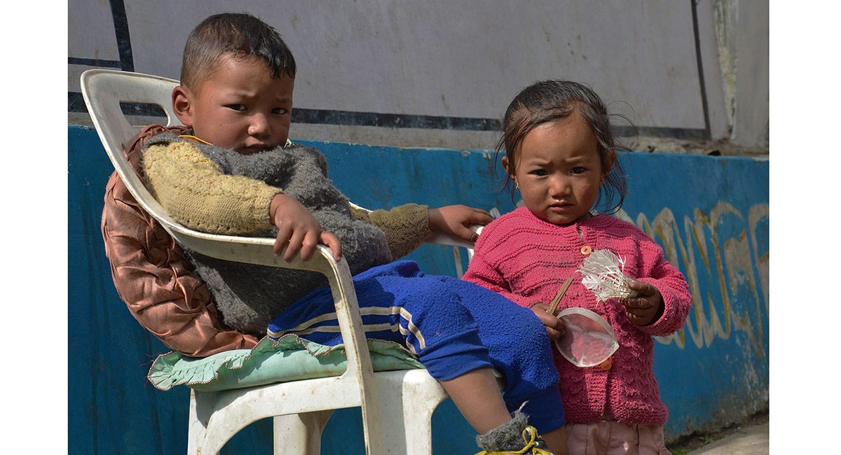
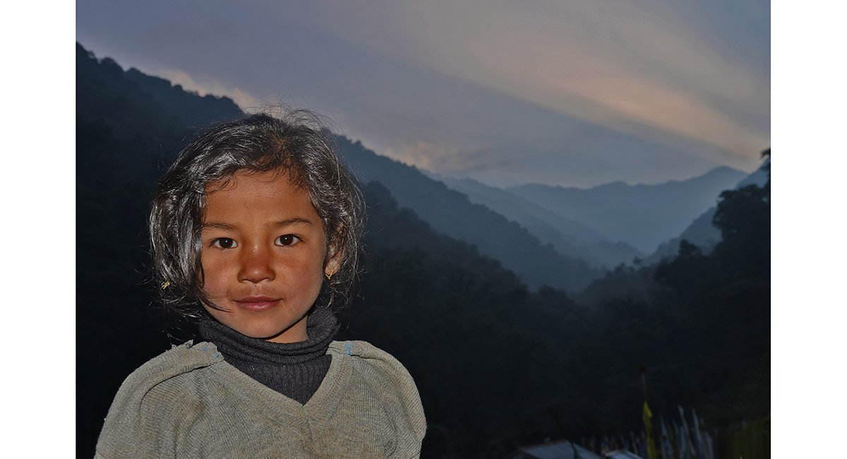
Locals in Rimbik (2,280m)

To order a print or web resolution file of any image you see in this slide show, just right click the image, click “Copy Image URL” and paste in to the “Your message” box of our Contact Us form. Please also note, for each image, if you want a print or web resolution file. We will get back to you as soon as possible to confirm price and payment details.
Open Contact Us in a new window to paste Image URL(s) easily