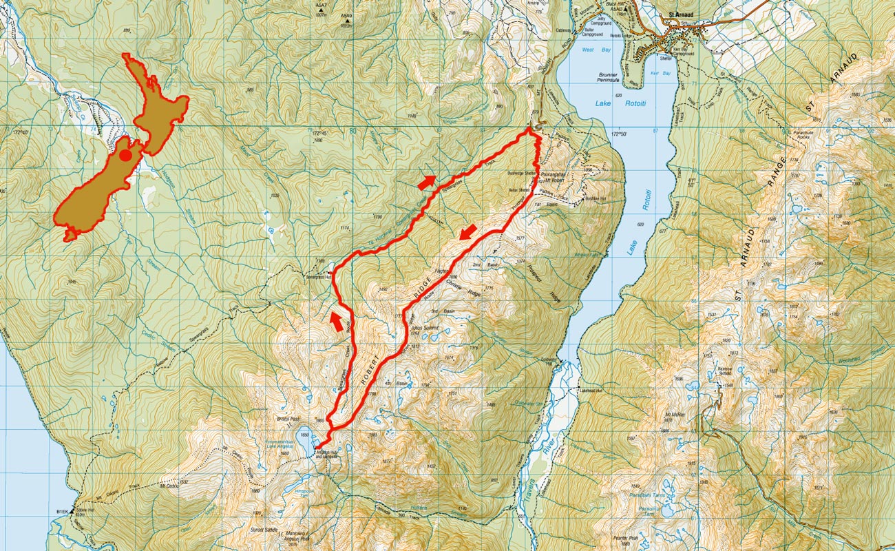
Lake Angelus via Robert Ridge, November 2010
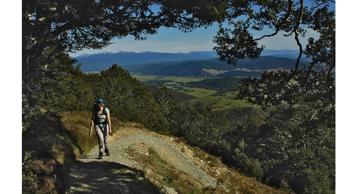
View north from the Pinchgut, at about 1,000m

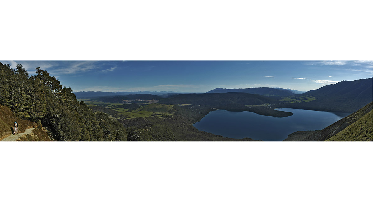
The northern end of Lake Rotoiti

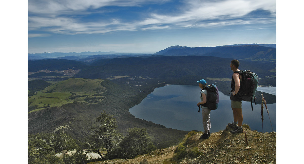
The northern end of Lake Rotoiti

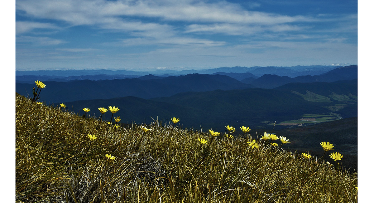
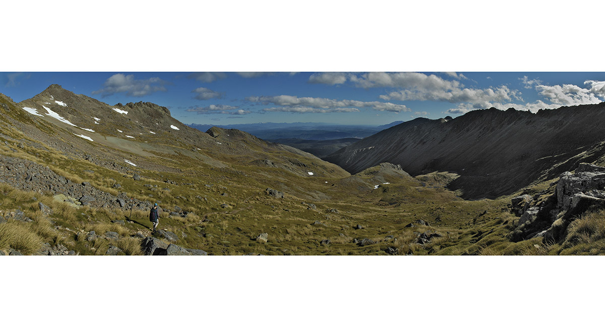
Looking west, from about 1,400m on Robert Ridge

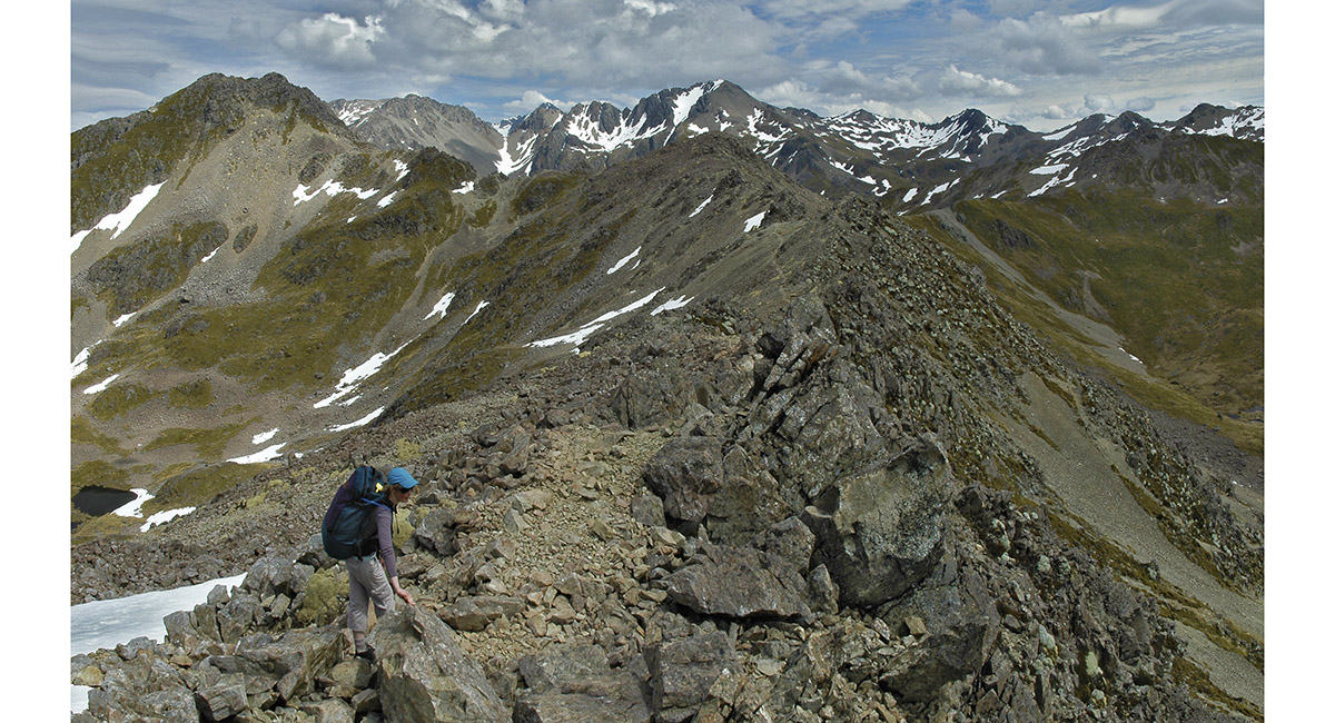
The view south, along Robert Ridge

Near the southern end of Robert Ridge

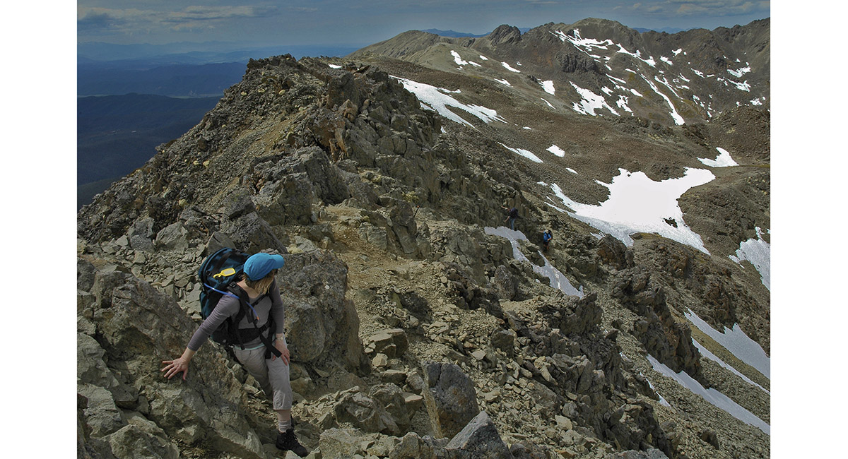
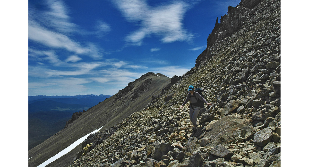
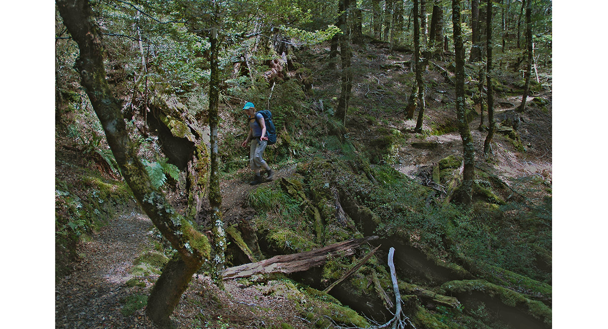
Traversing the most rugged section of the Robert Ridge trail to Lake Angelus, at about 1,700m

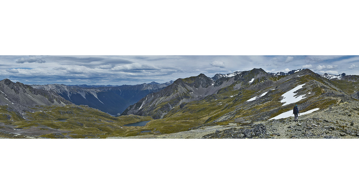
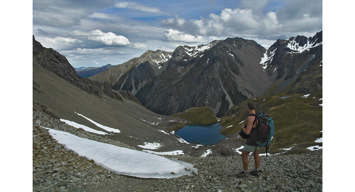
View south to Angelus Peak, from Robert Ridge

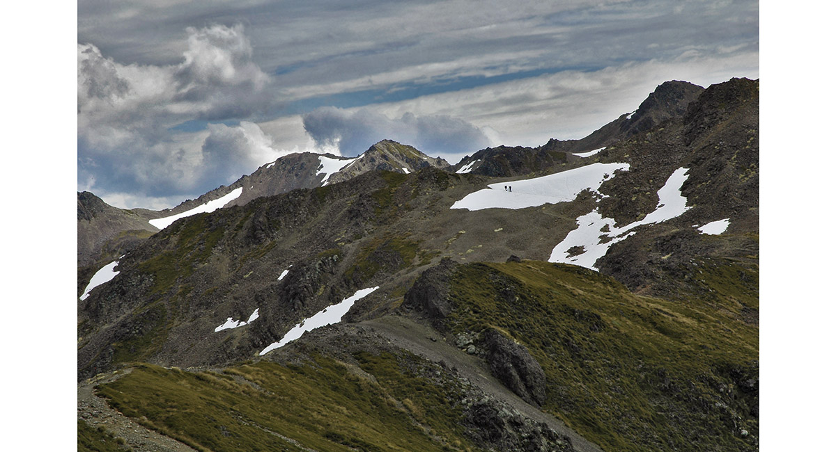
Hikers at the southern end of the Robert Ridge trail

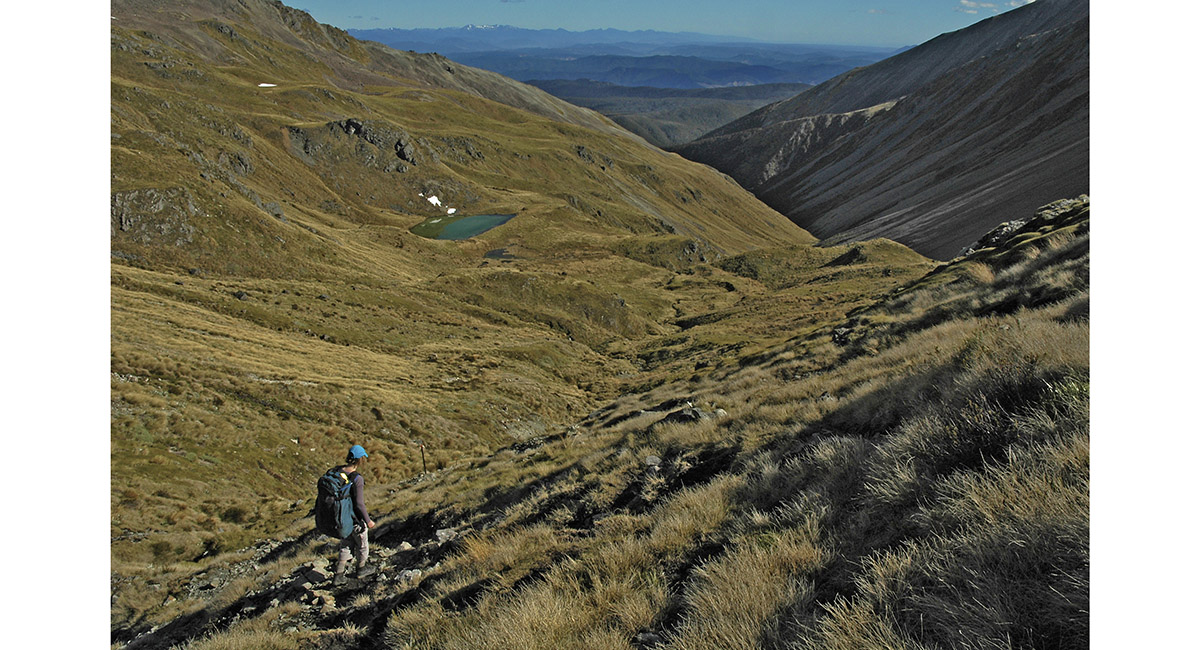
View east from the Robert Ridge trail

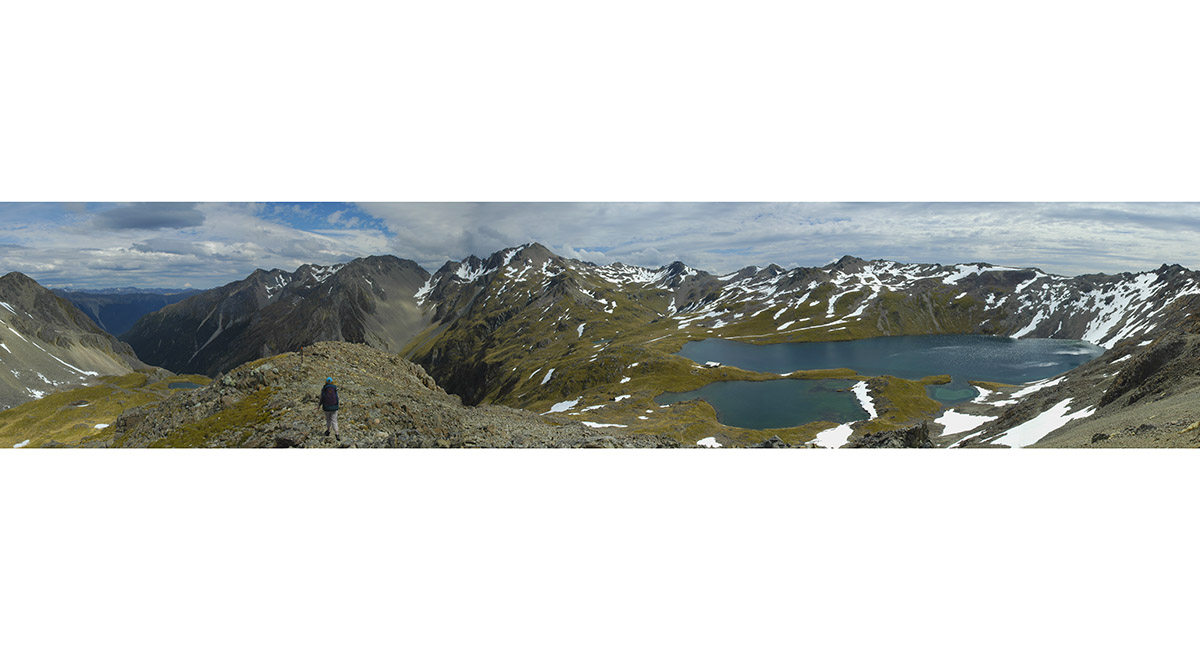
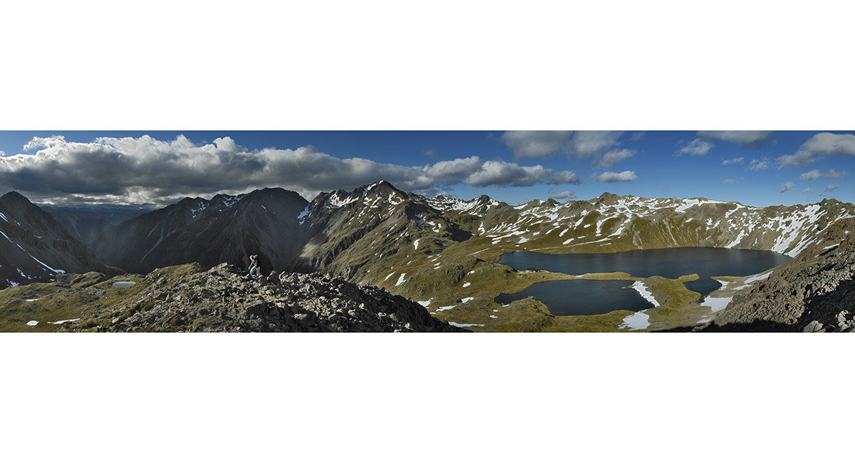
Lake Angelus (1,650m), with Angelus Peak (2,075m), the highest point on the skyline

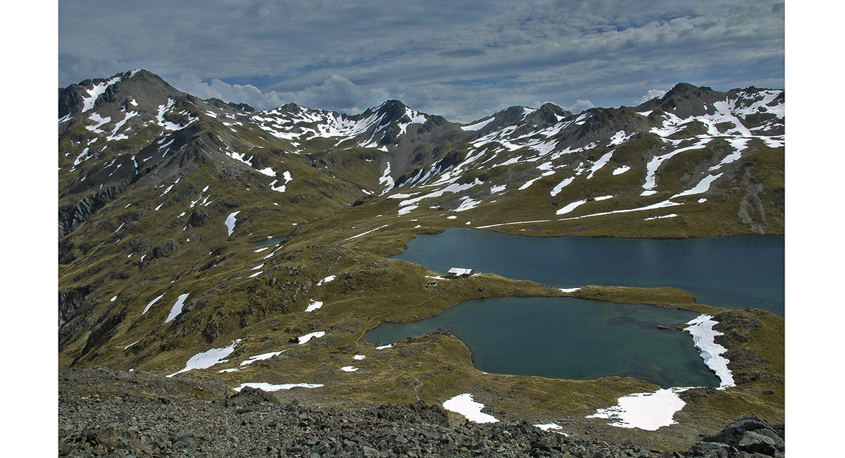
Angelus Hut

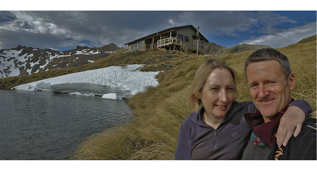
Angelus Hut

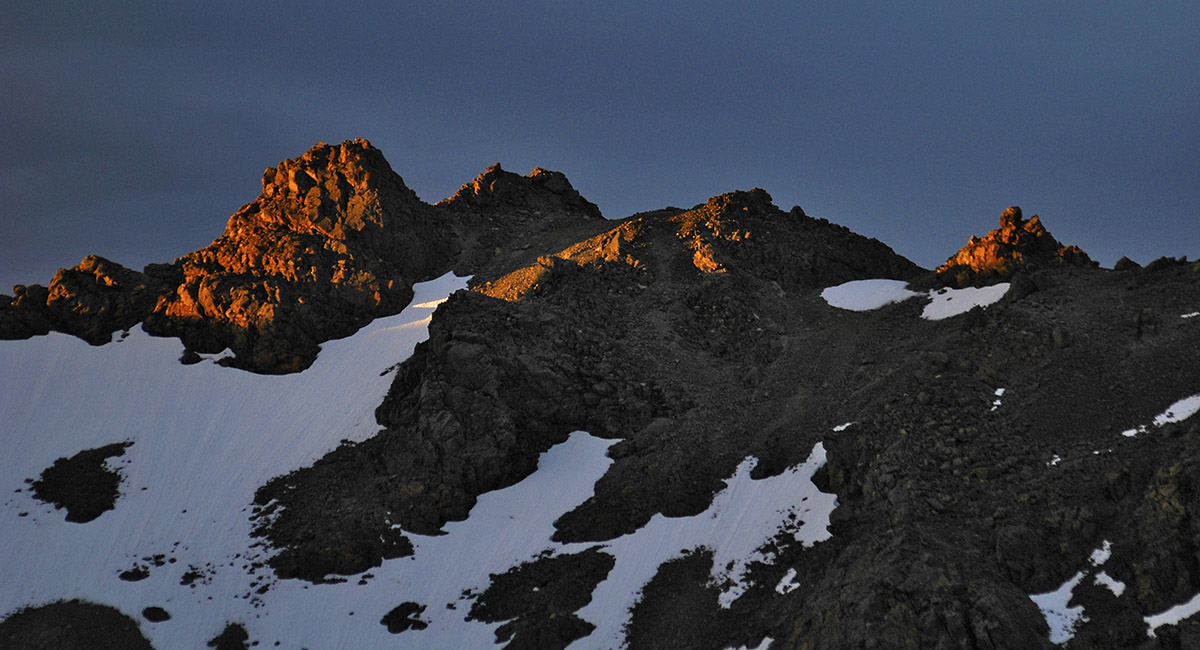
Sunlit crags above Lake Angelus at dusk

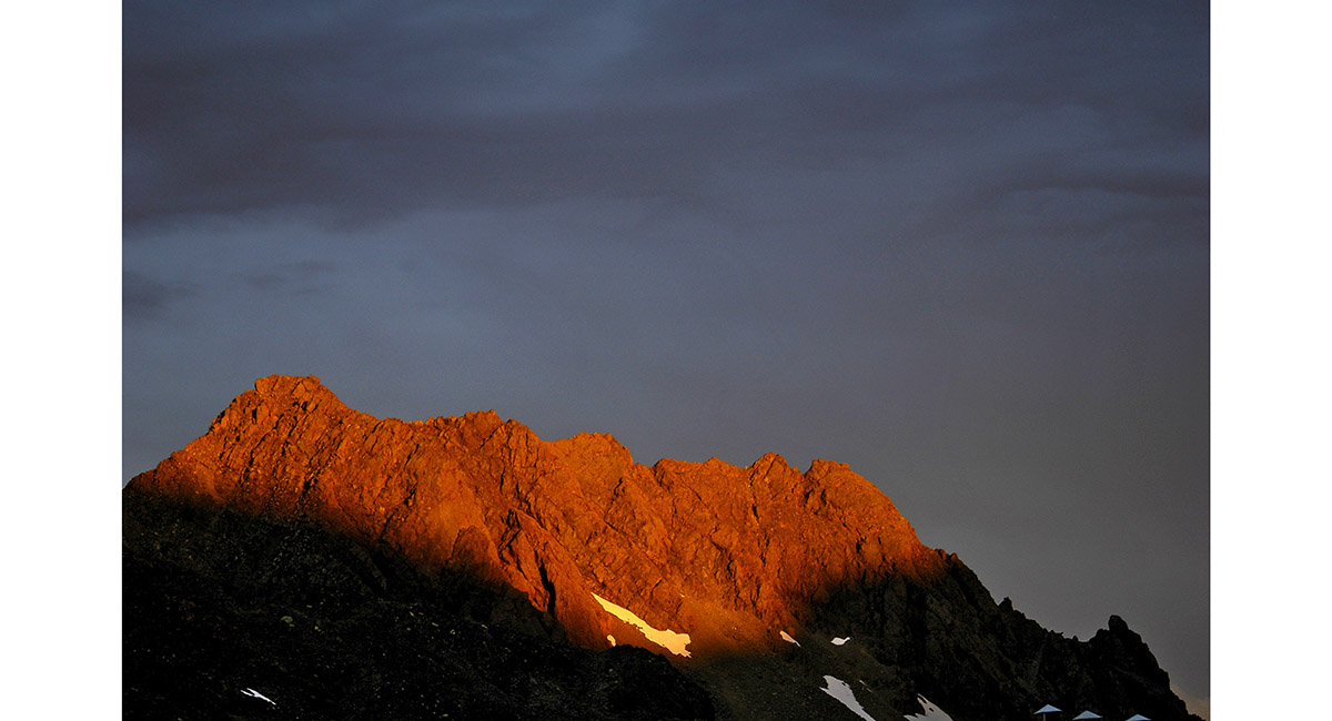
Sunlit crags above Lake Angelus at dusk

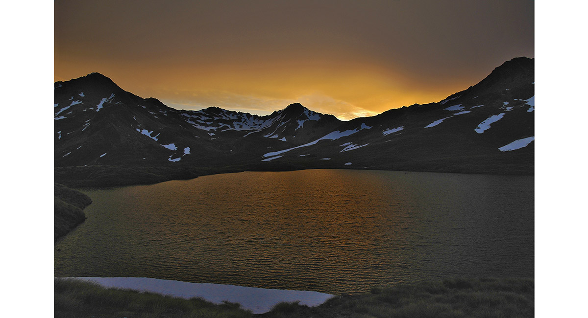
Sunset, Lake Angelus

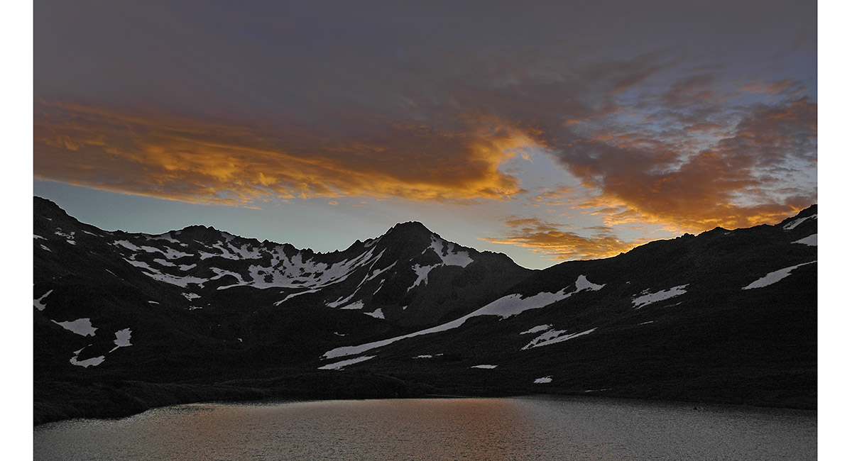
Sunset, Lake Angelus

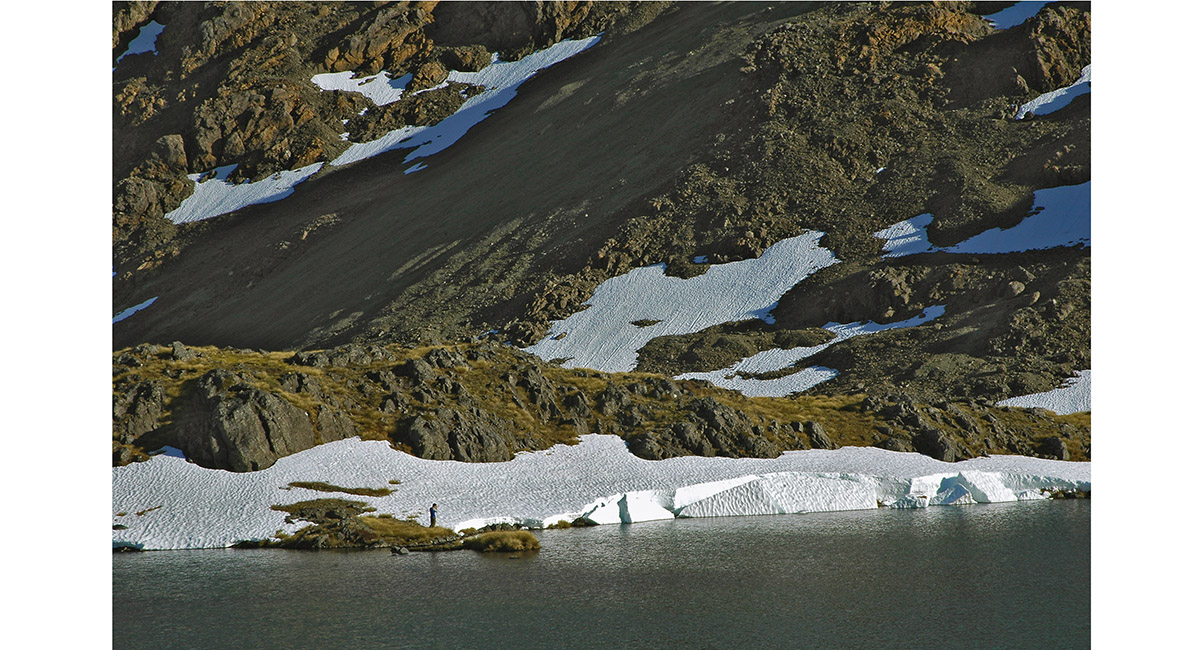
At the shore, Lake Angelus

A morning departure from Lake Angelus

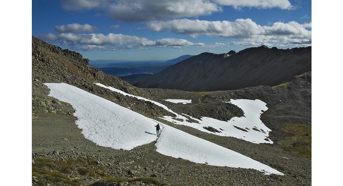
Nearing the junction of the Robert Ridge and Speargrass Creek trails

Heading north, down the Speargrass Creek trail

Descending the Speargrass Creek trail


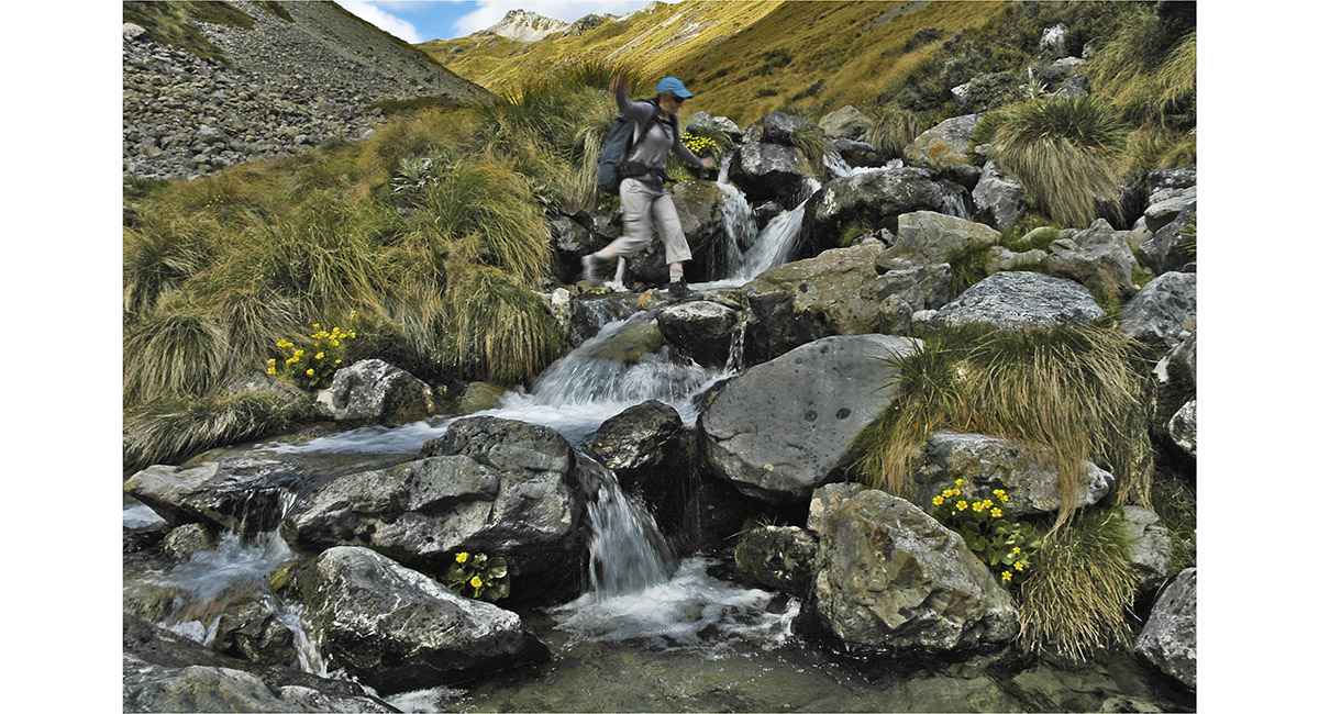
Descending the Speargrass Creek trail

In Beech forest near the end of the Speargrass Creek trail

Read about it A classic circuit Wilderness Magazine January 17
![]()
To order a print or web resolution file of any image you see in this slide show, just right click the image, click “Copy Image URL” and paste in to the “Your message” box of our Contact Us form. Please also note, for each image, if you want a print or web resolution file. We will get back to you as soon as possible to confirm price and payment details.
Open Contact Us in a new window to paste Image URL(s) easily