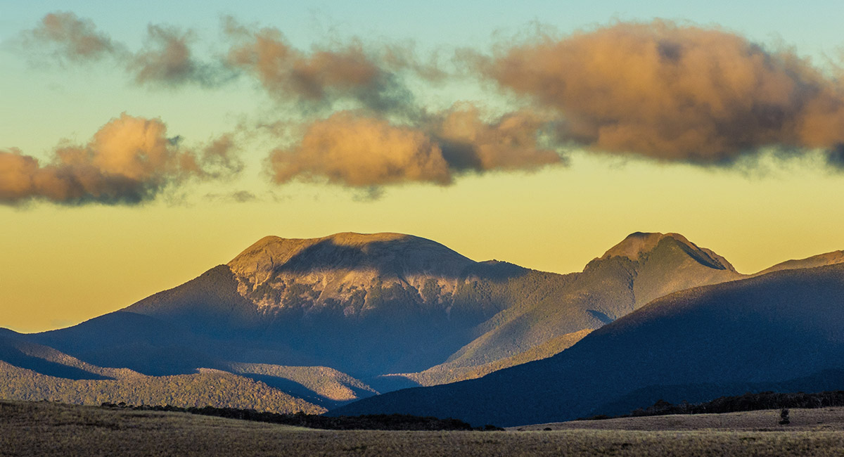
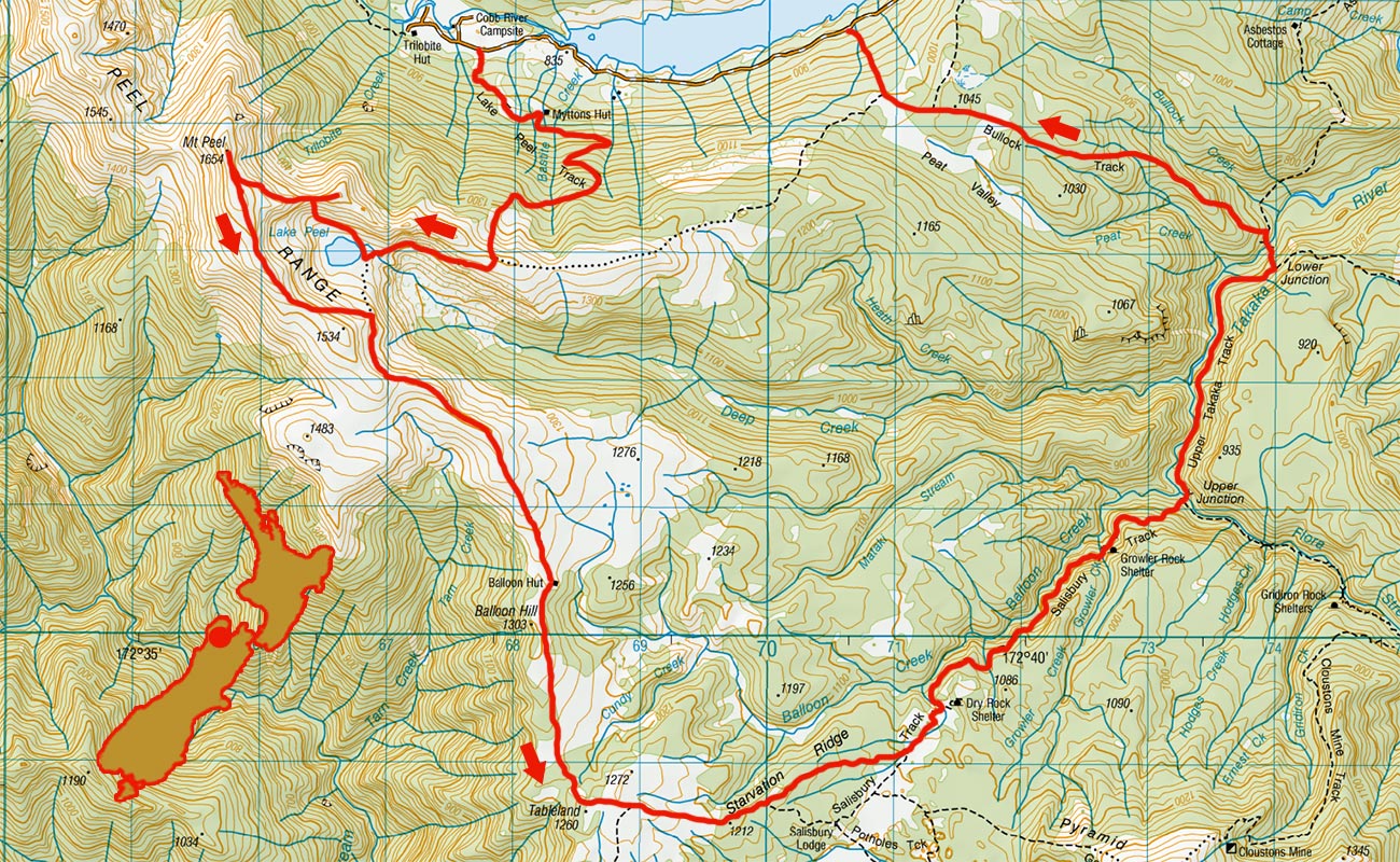
Mt Peel, March 2016
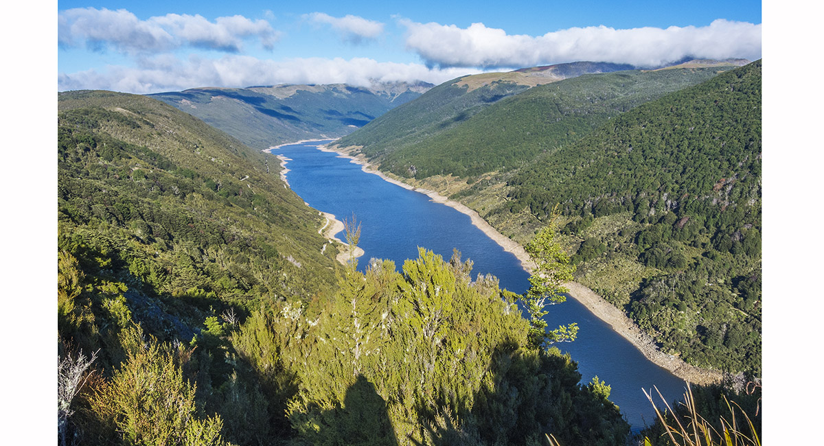
Cobb Reservior, from the Information Centre at 1,100m, at the north eastern end


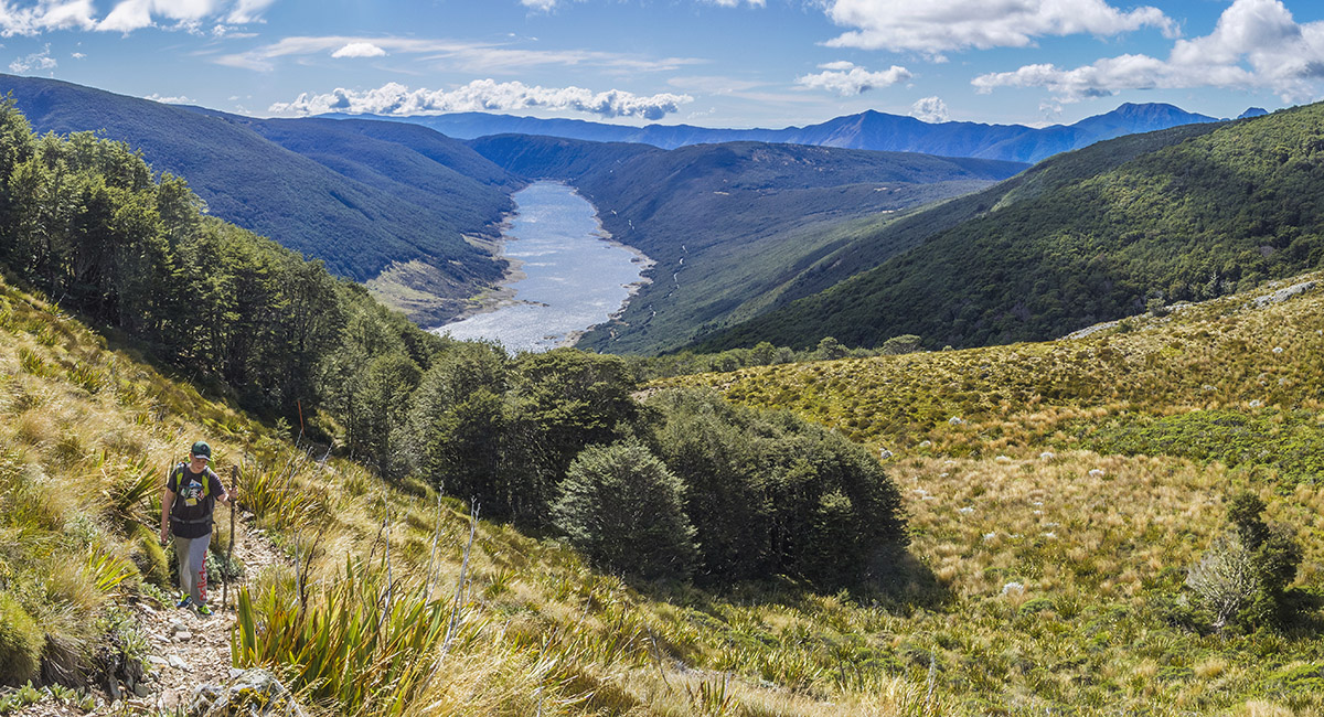
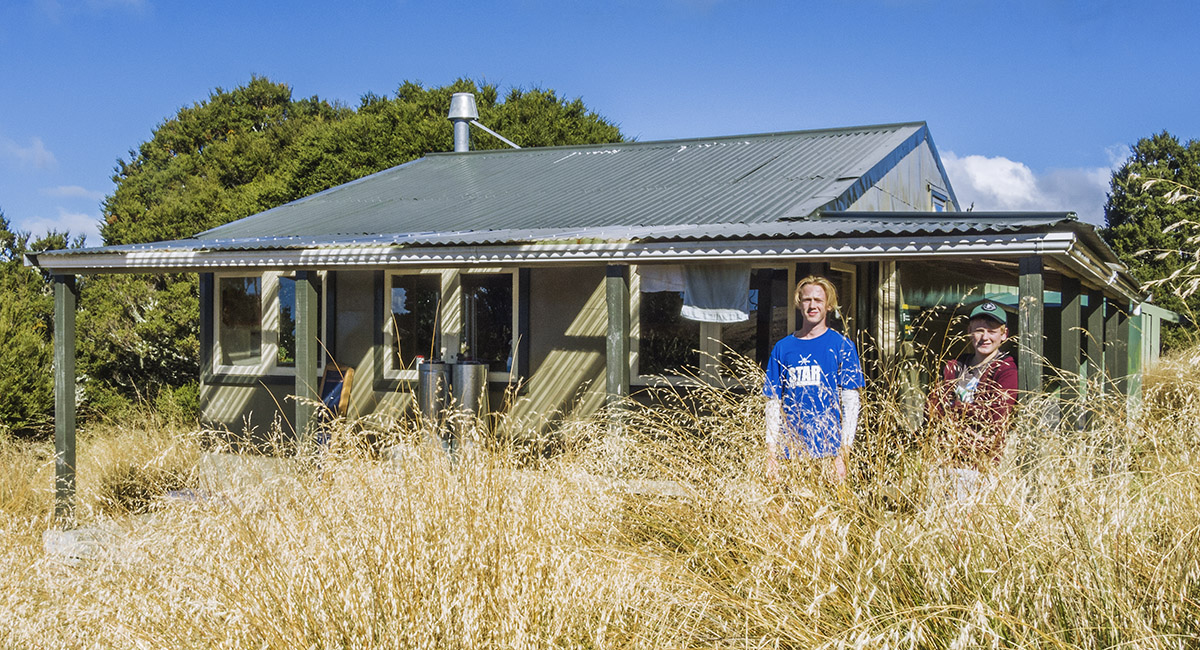
Myttons Hut (900m)

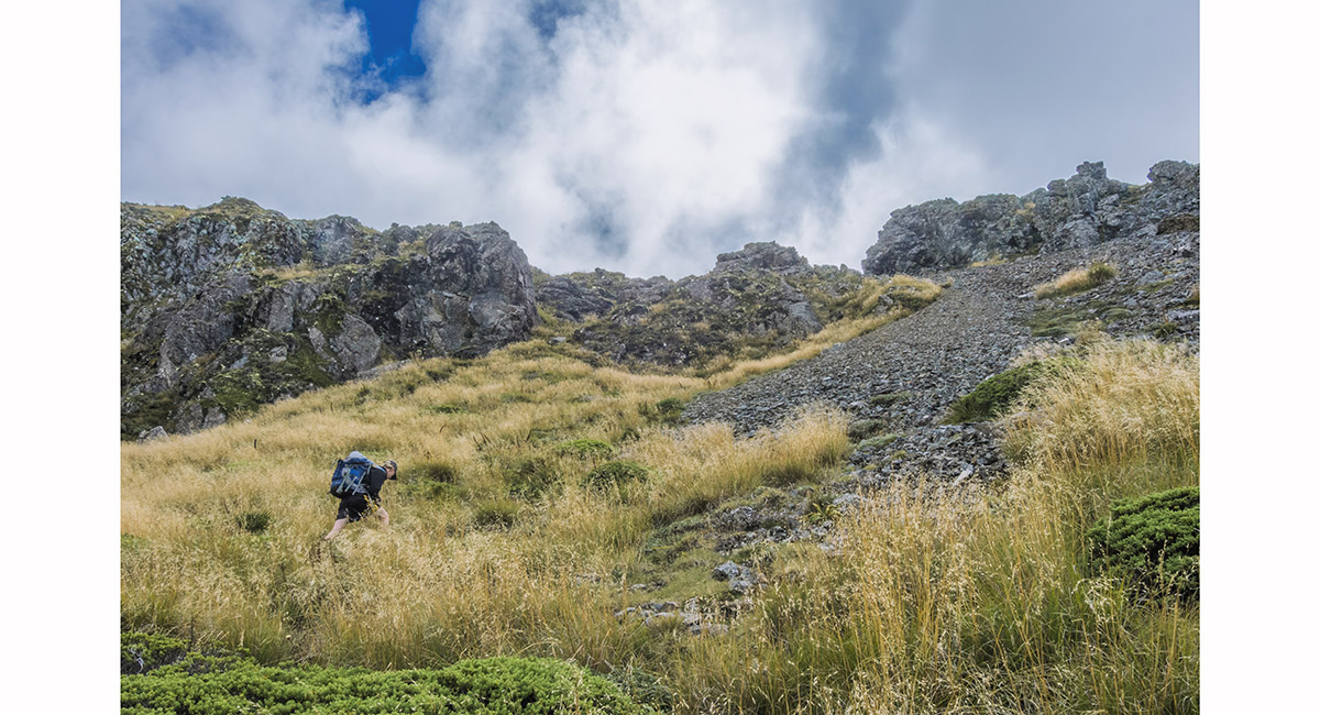
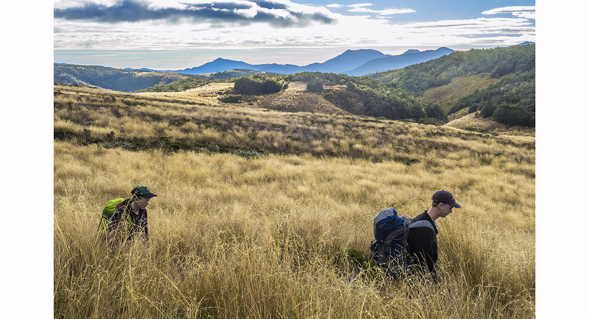
Exiting the treeline at 1,300m, Cobb Reservior behind


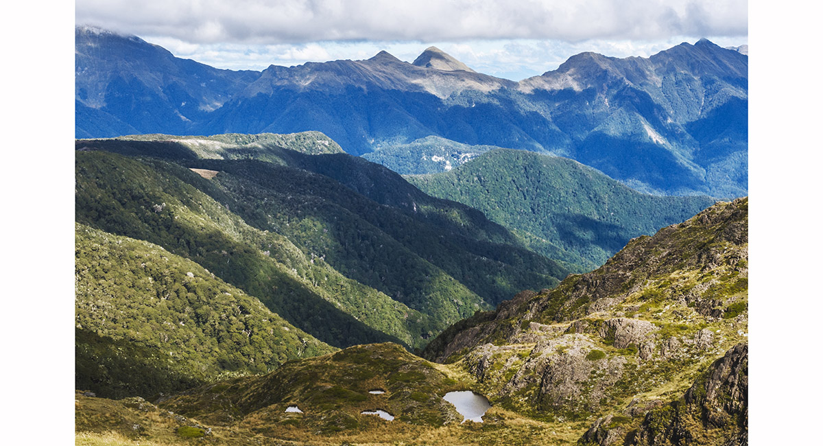
View from beneath Peel Ridge. From left - Mt Benson (1,661m), Cobb Reservior (800m), Gordons Pyramid (1,489m), Mt Arthur (1,795m) and the Twins (1,809m and 1,796m)

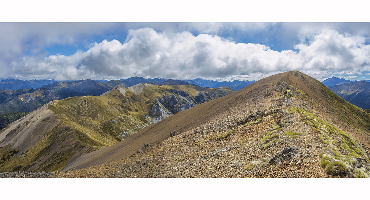
On Peel Ridge at about 1,400m


Approaching Peel Lake


Scree slopes near Peel Lake

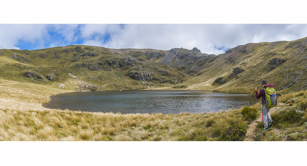
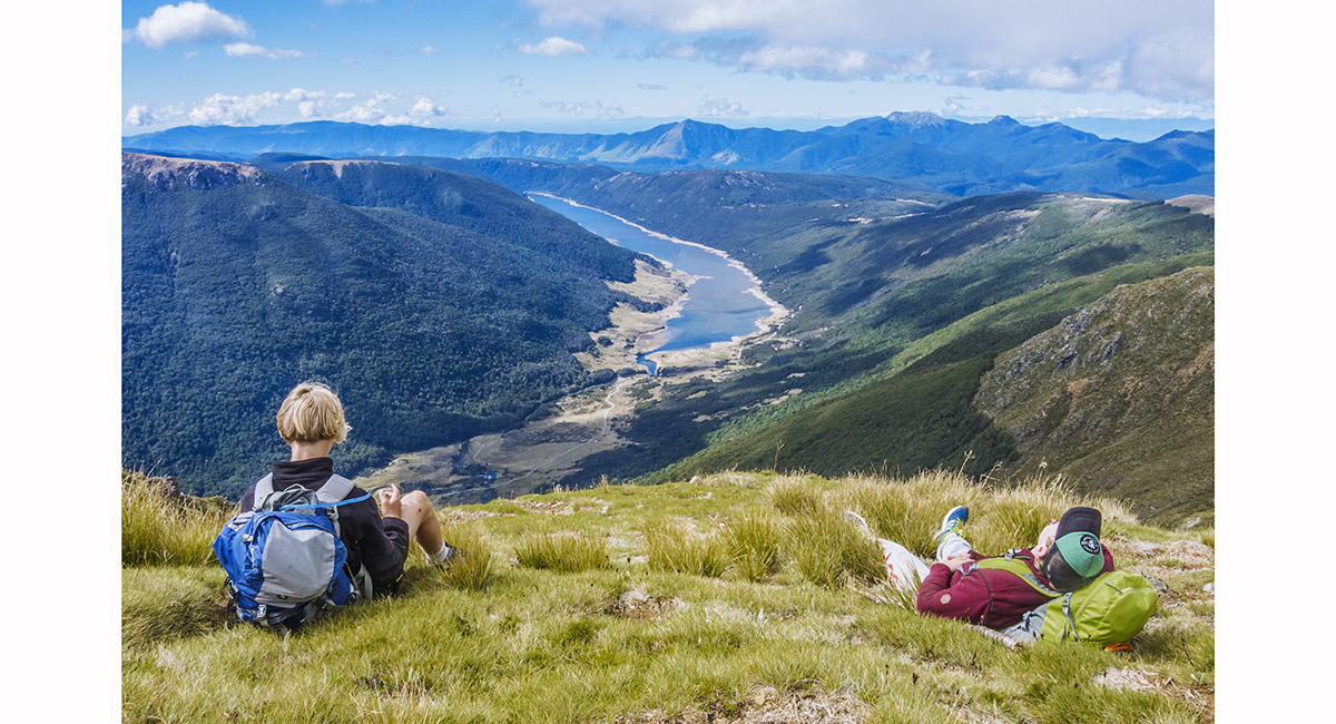
Peel Lake (1,350m) viewed from the east


Peel Lake (1,350m) viewed from the northwest

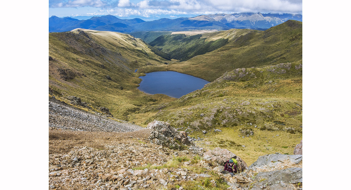
Looking up our route out of Peel Basin on to Peel Ridge

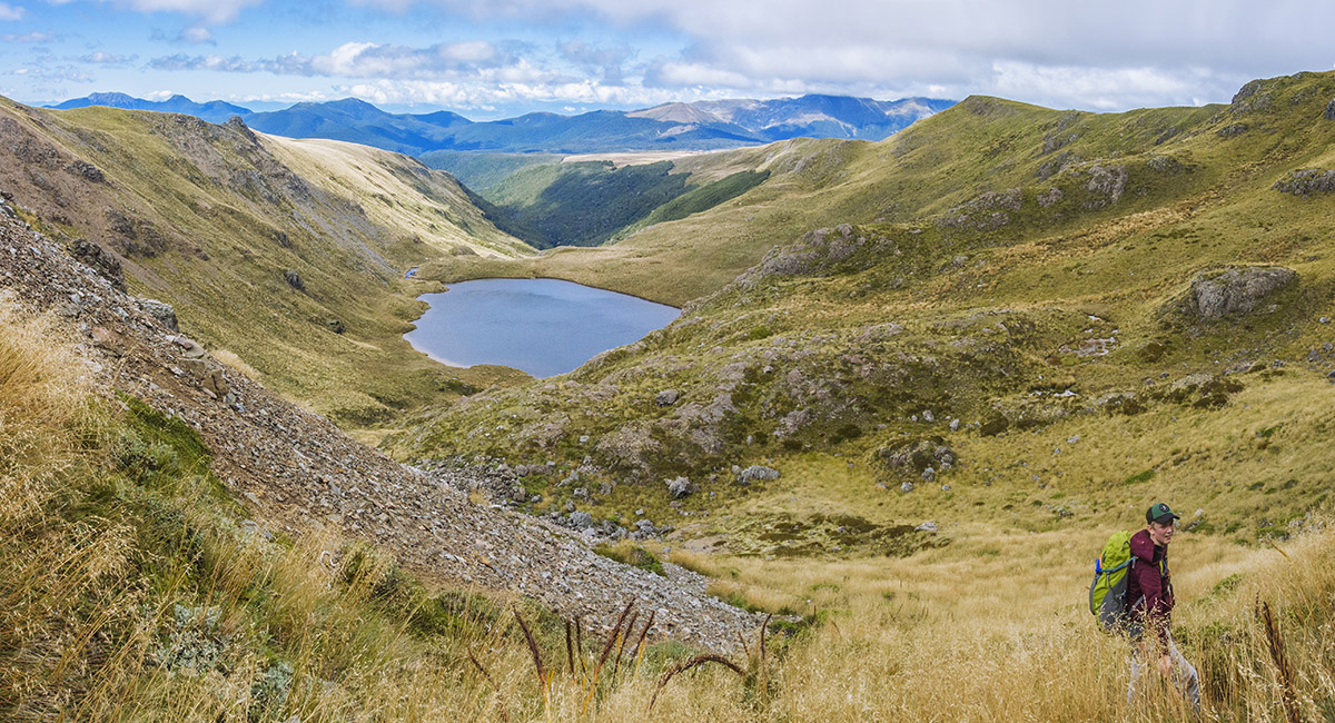
View of Peel Lake, at about 1,400m, as we climbed to Peel Ridge

View of Peel Lake, at about 1,450m, as we climbed to Peel Ridge

On Peel Ridge at 1,520m, looking east

Approaching Mt Peel, looking northwest to Kimbell Spur

View northwest, approaching the summit of Mt Peel (1,654m)

View east from just below the summit of Mt Peel

The summit of Mt Peel (1,654m)

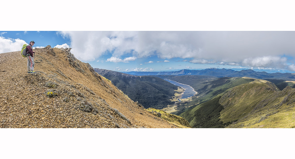
On the summit of Mt Peel (1,654m), looking east to Cobb Reservior (800m)

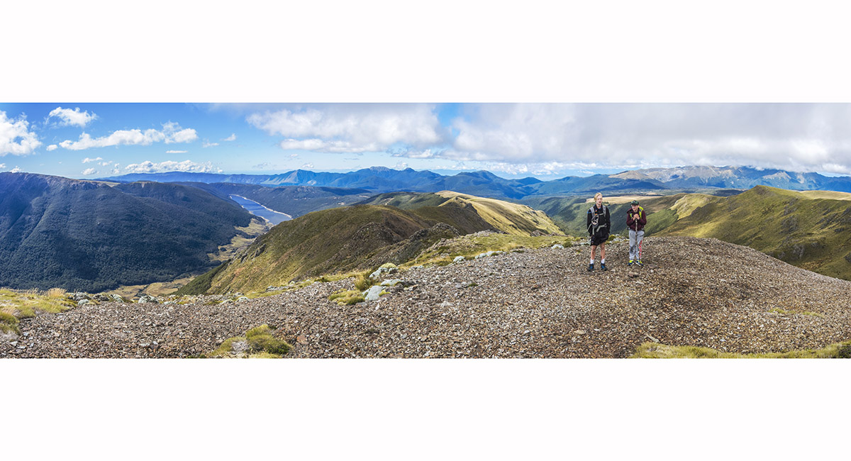
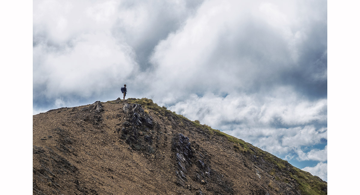
Heading southeast down Peel Ridge

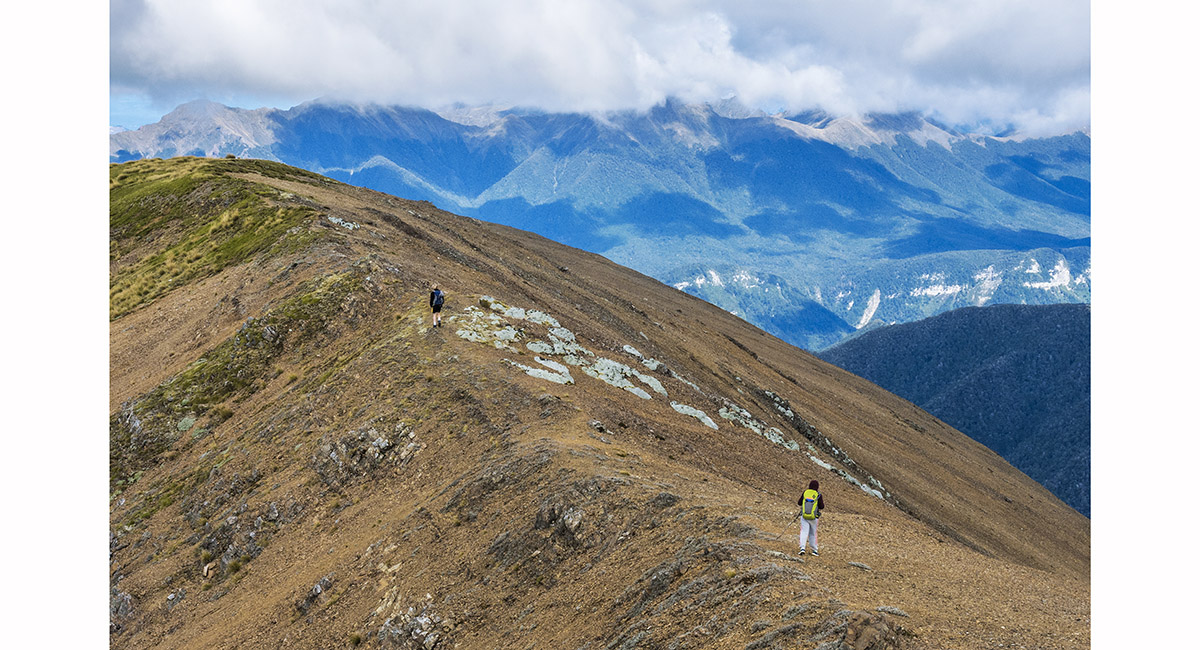
Heading southeast down Peel Ridge

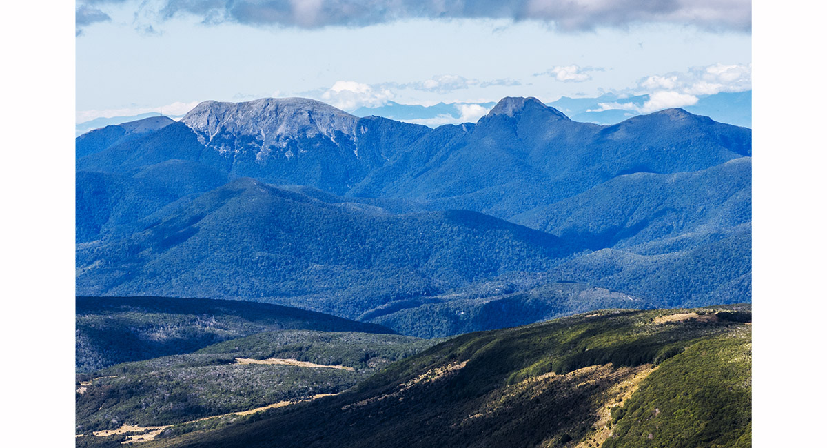
Mt Arthur and the Twins, from about 1,500m on Peel Ridge


View to Mt Arthur and the Twins, above Peel Lake

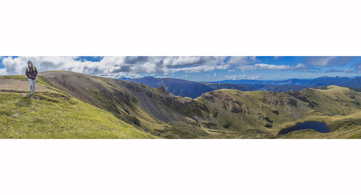
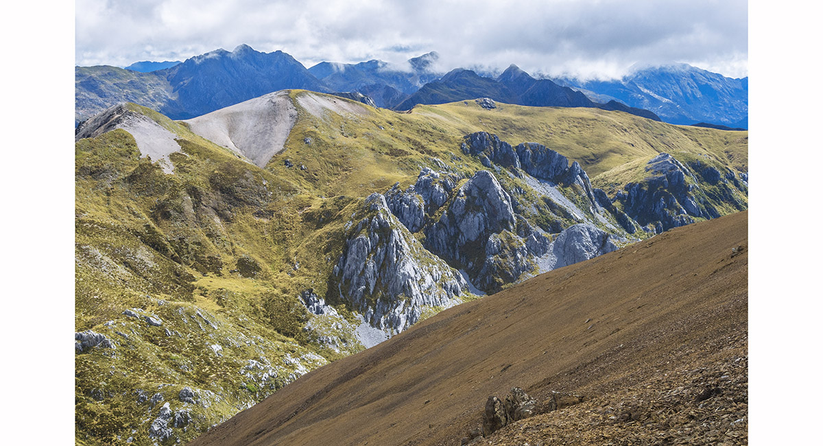
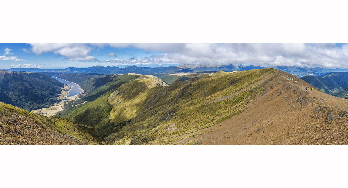
Wide view from Peel Ridge. Our route out of Peel Basin was up left of the dark scree slope, left of centre

View west to Kakapo Spur, on the trail above Balloon Hut


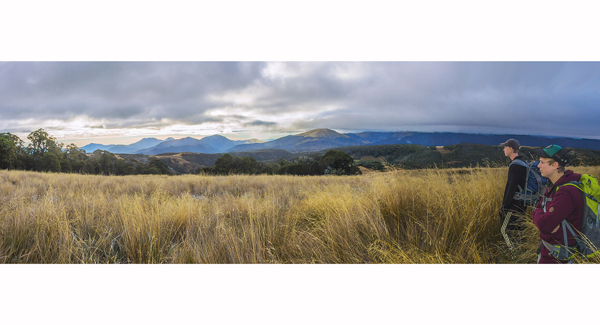
View south, across the Tablelands, to Mt Owen


The stream draining Peel Lake that becomes Deep Creek

Balloon Hut (1,260m)

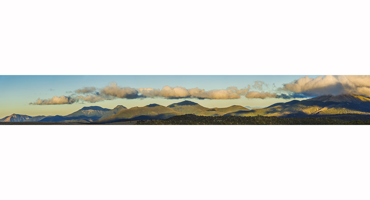
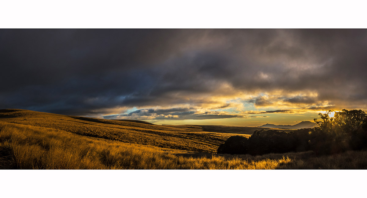
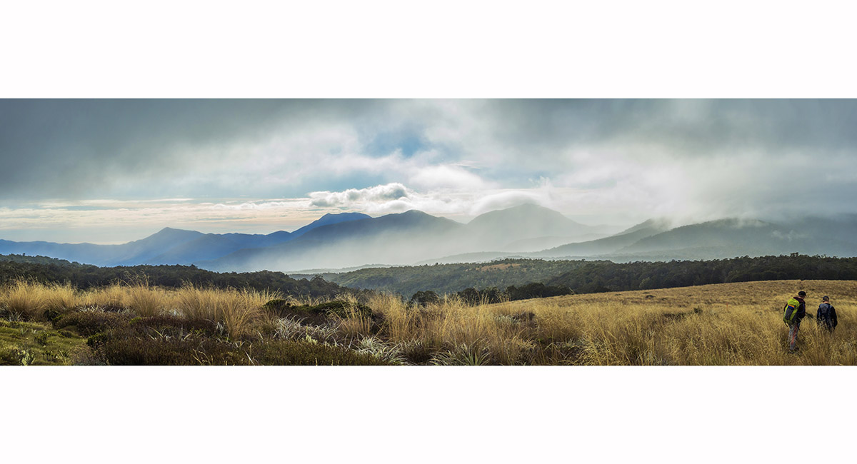
Dusk panorama near Balloon Hut, from Gordons Pyramid (far left) to Mt Owen (in cloud)

Mt Arthur (left) and the Twins, from near Balloon Hut at sunset

Gordons Pyramid (1,489m, left) and Mt Arthur, from near Balloon Hut at sunset

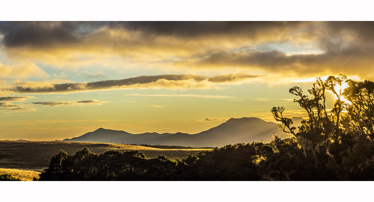
Sunset view north and east, from near Balloon Hut

On the Tablelands, south of Balloon Hut

On the Tablelands with, from left, Gordons Pyramid (1,489m), Mt Arthur (1,795m) and the Twins (1,809m and 1,796m)

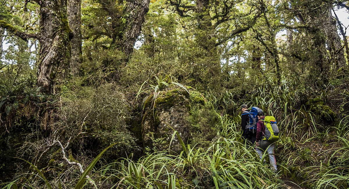
Heading into the forest, south of Balloon Hut

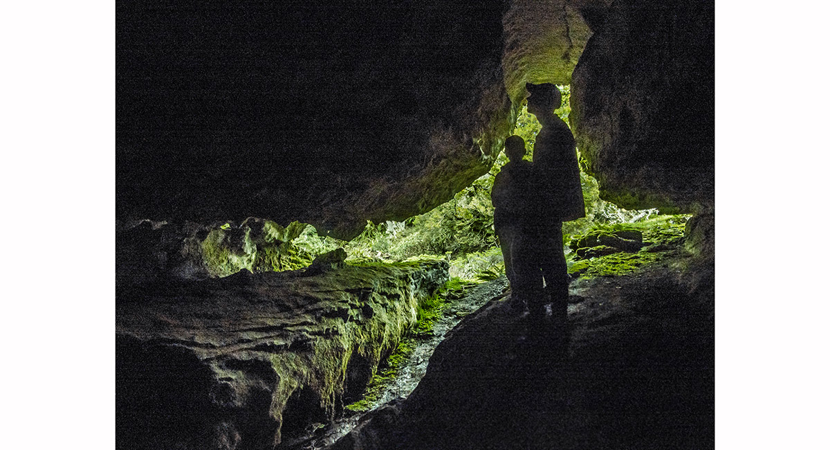
A cave just off the main trail before Salisbury Lodge

View east from Starvation Ridge (1,200m) to the Arthur Range

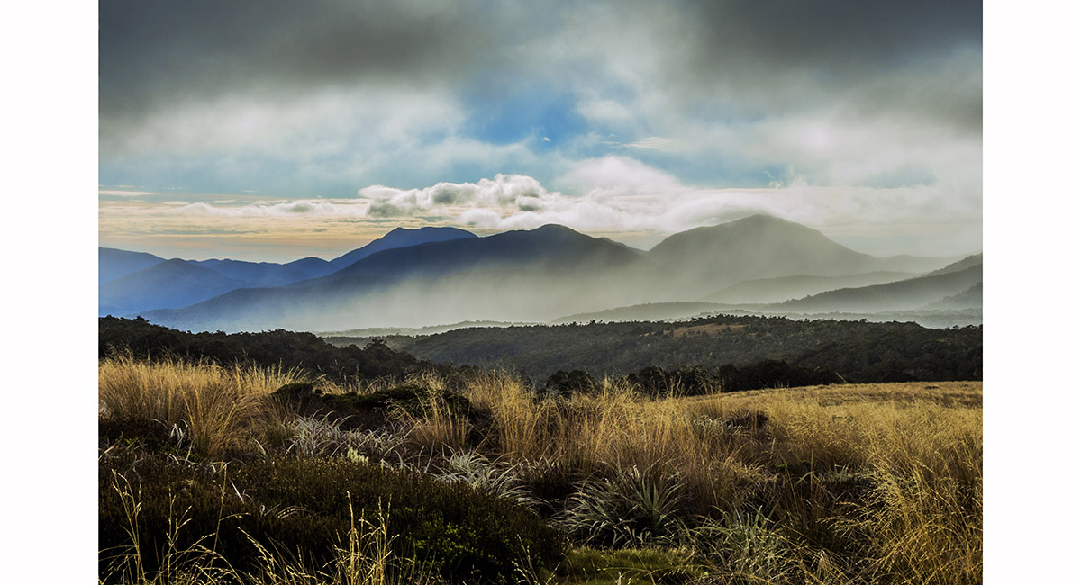
View east from Starvation Ridge (1,200m) to the Arthur Range

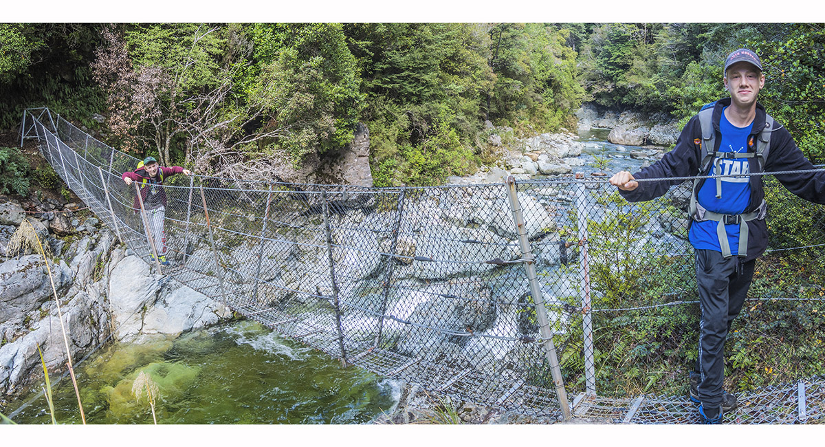
Swing bridge across the Takaka River, giving access to Bullock Track

Read about it
A trip that has it all Wilderness Magazine Jan 17 Cover spread
![]()
To order a print or web resolution file of any image you see in this slide show, just right click the image, click “Copy Image URL” and paste in to the “Your message” box of our Contact Us form. Please also note, for each image, if you want a print or web resolution file. We will get back to you as soon as possible to confirm price and payment details.
Open Contact Us in a new window to paste Image URL(s) easily