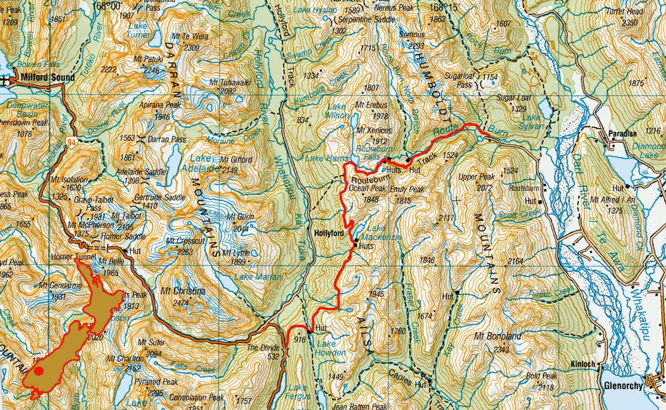
Routeburn Track, March 1996
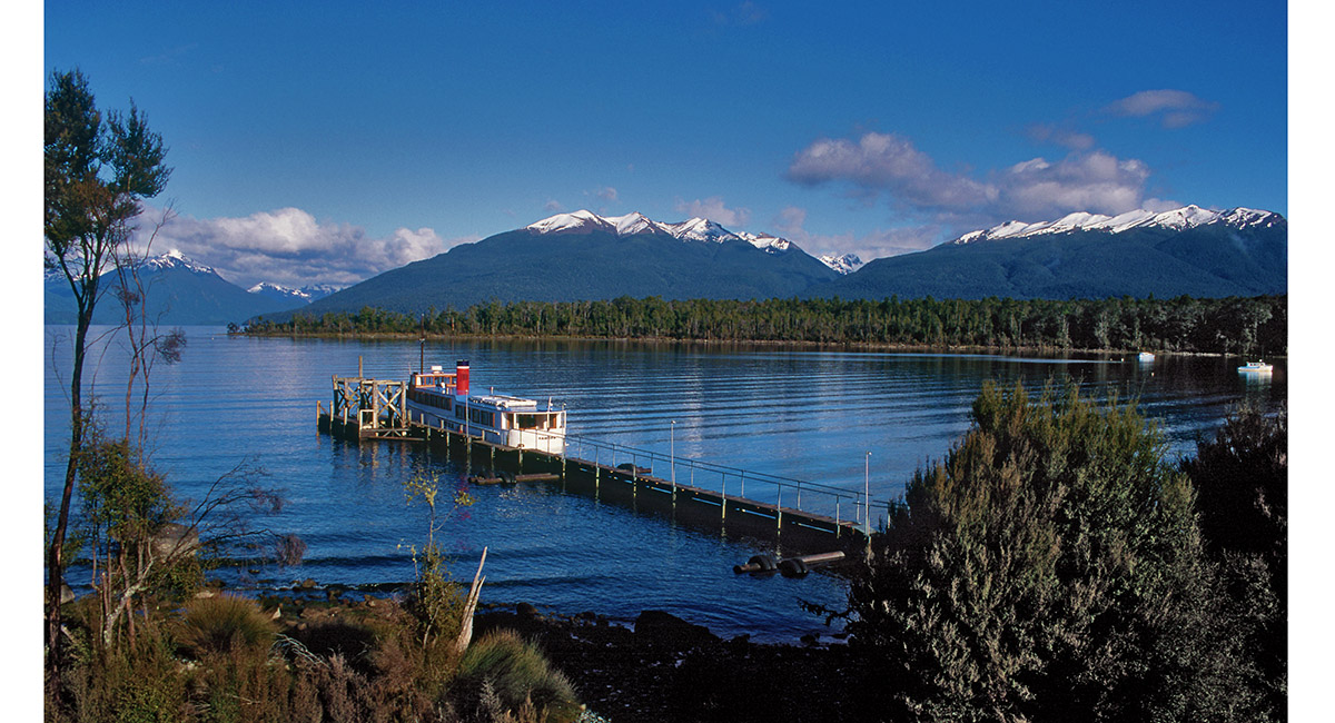
Lake Te Anau

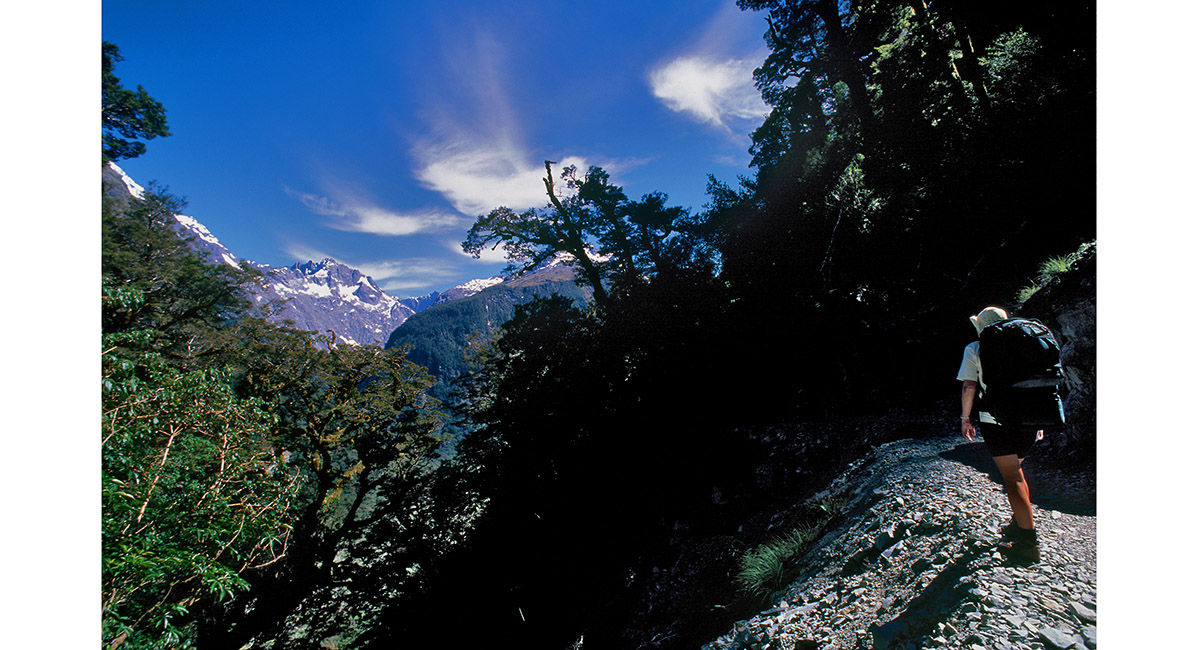
On the trail up to Key Summit

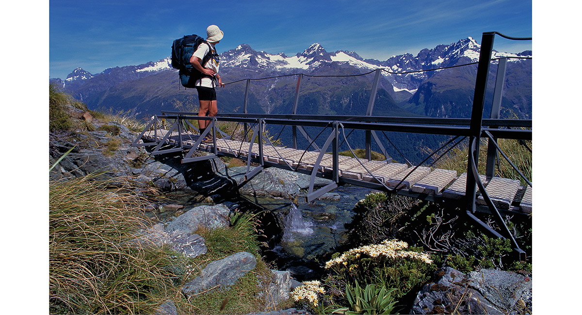
Climbing to Key Summit

Climbing to Key Summit

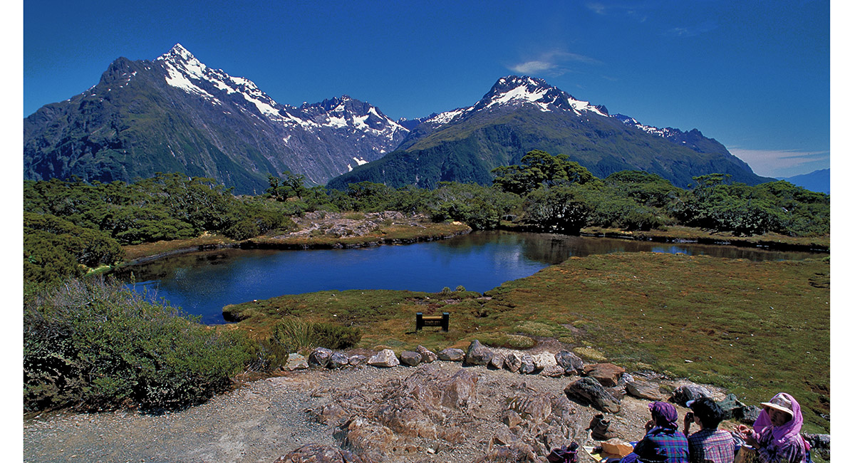
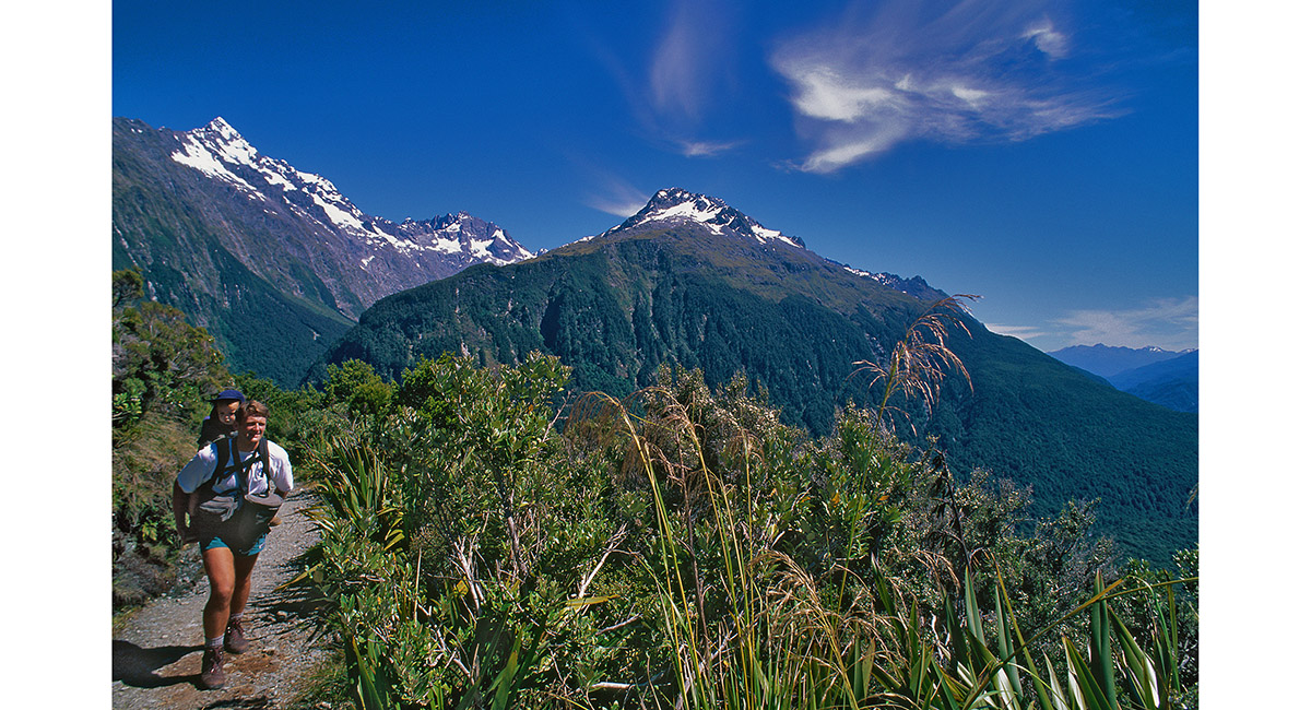
View from Key Summit (918m)

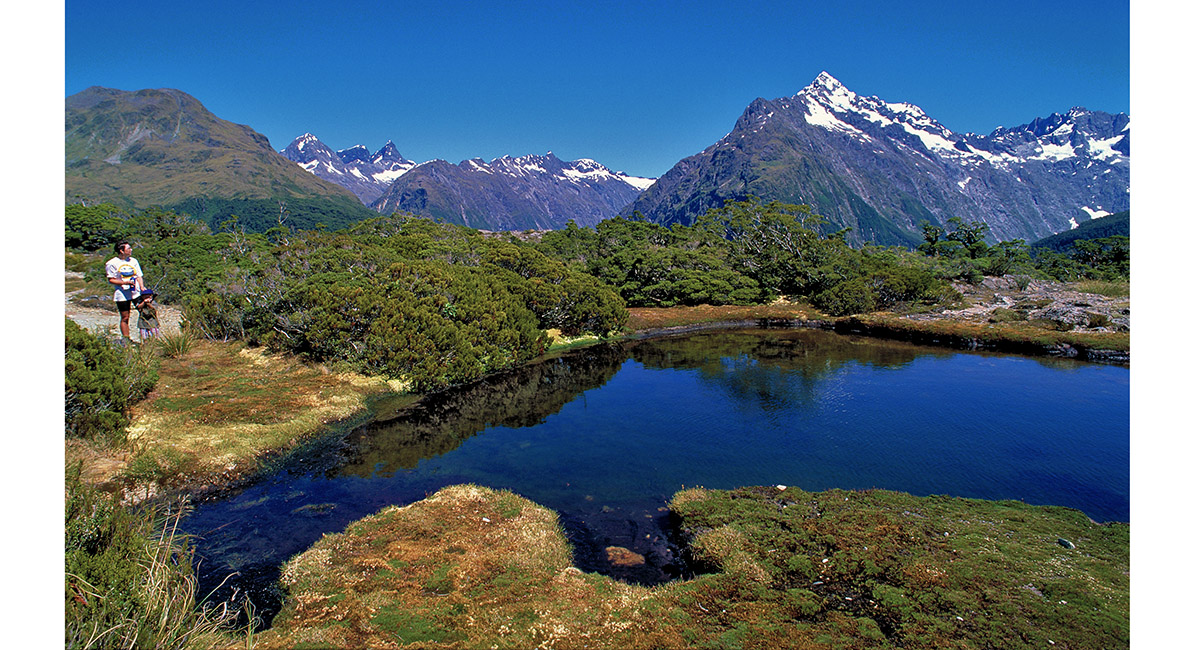
View from Key Summit (918m)

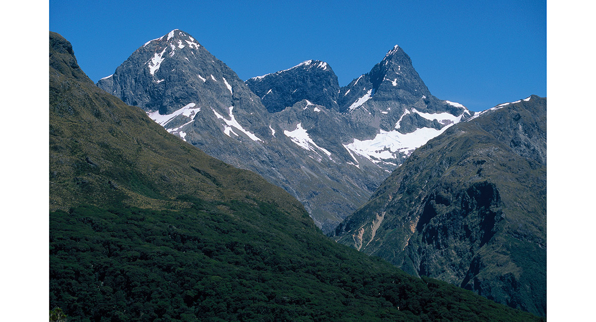
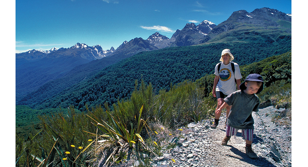
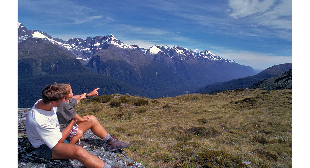
Darrans mountains from the trail beyond Key Summit

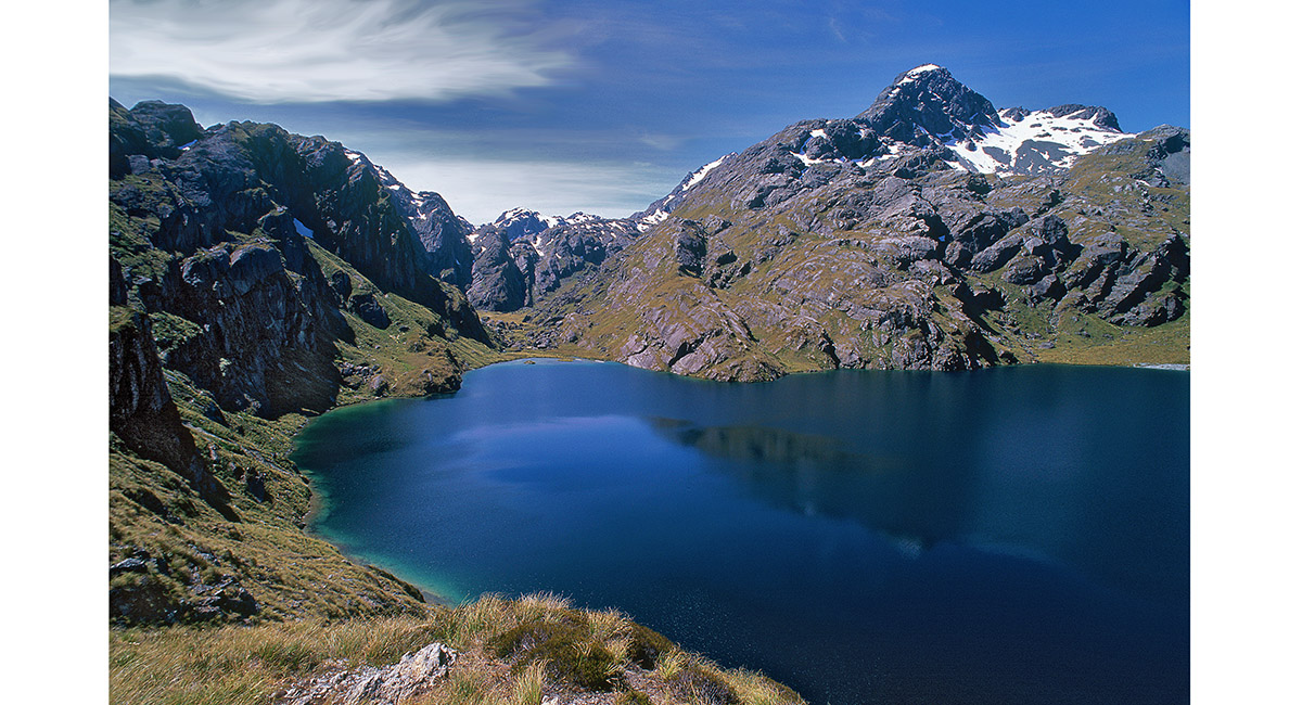
Lake MacKenzie (889m)

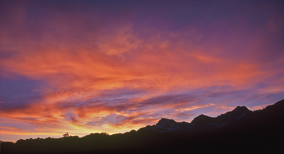
Sunset from Lake Mackenzie

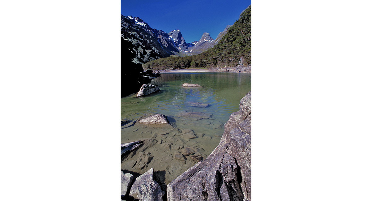
Darrans mountains, from the trail between Lake Mackenzie and Harris Saddle

Looking north west to Milford Sound, en route to Harris Saddle

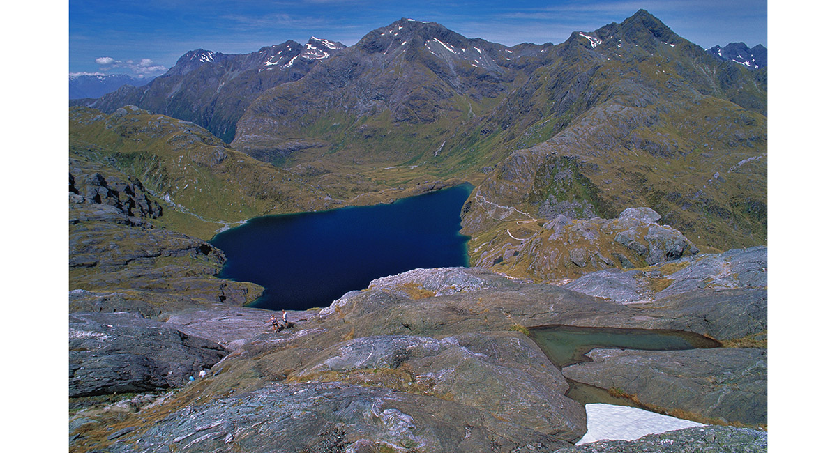
Lake Harris (1,225m), viewed from Conical Hill (1,515m)

Lake Harris, viewed from the trail to Routeburn Falls Hut

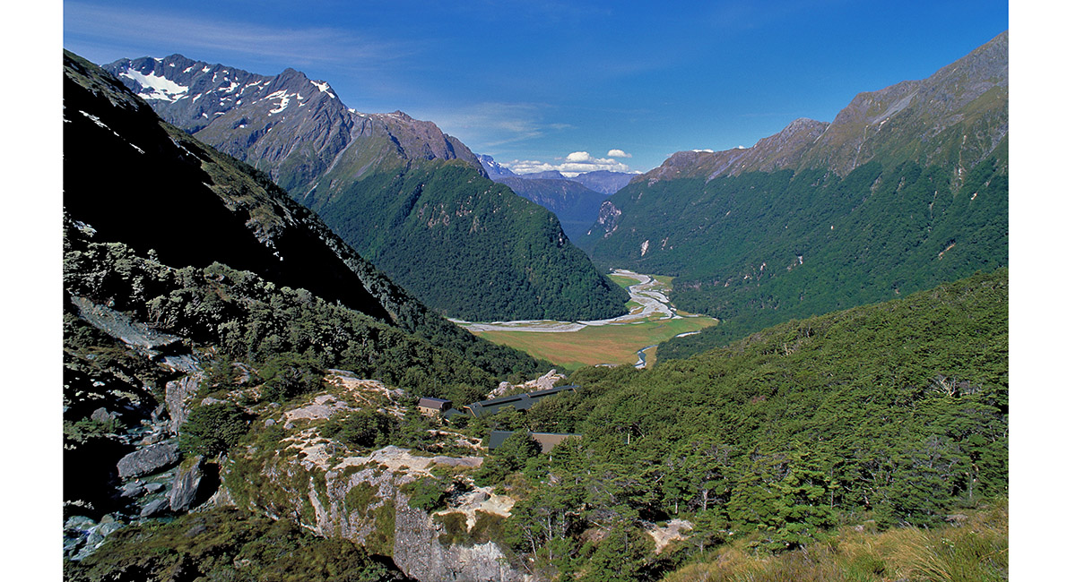
View east to Routeburn Falls Hut (950m) and beyond, along the Route Burn

![]()
To order a print or web resolution file of any image you see in this slide show, just right click the image, click “Copy Image URL” and paste in to the “Your message” box of our Contact Us form. Please also note, for each image, if you want a print or web resolution file. We will get back to you as soon as possible to confirm price and payment details.
Open Contact Us in a new window to paste Image URL(s) easily