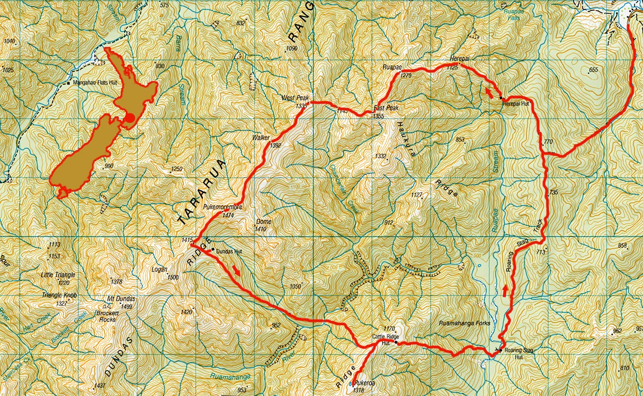
Dundas Hut circuit, February 2016
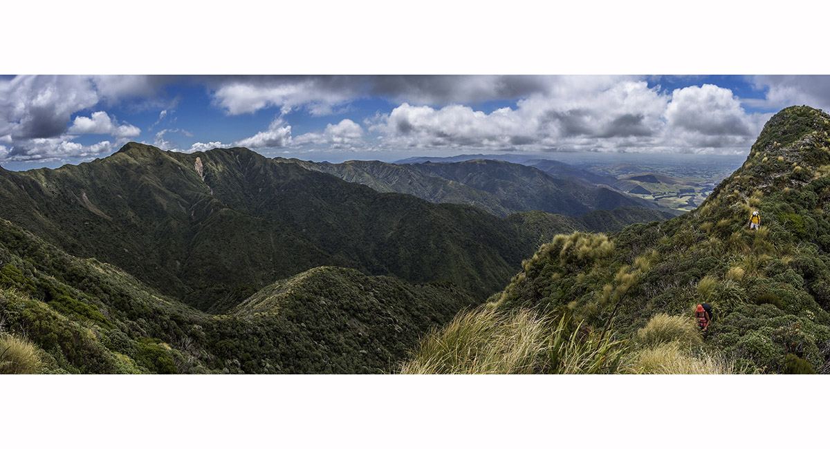
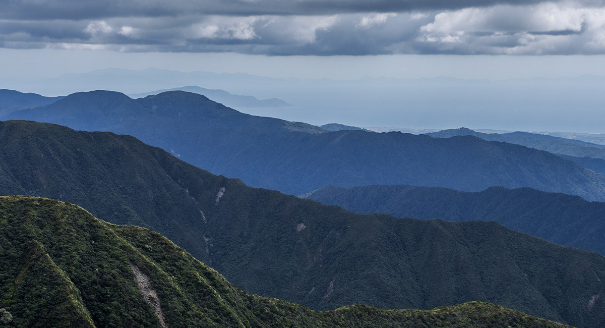
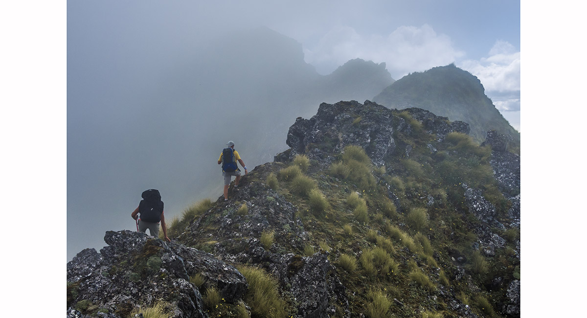
View northeast, between Herepai (1,125m) and Rupae (1,279m)

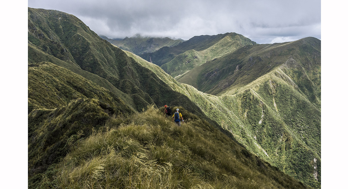
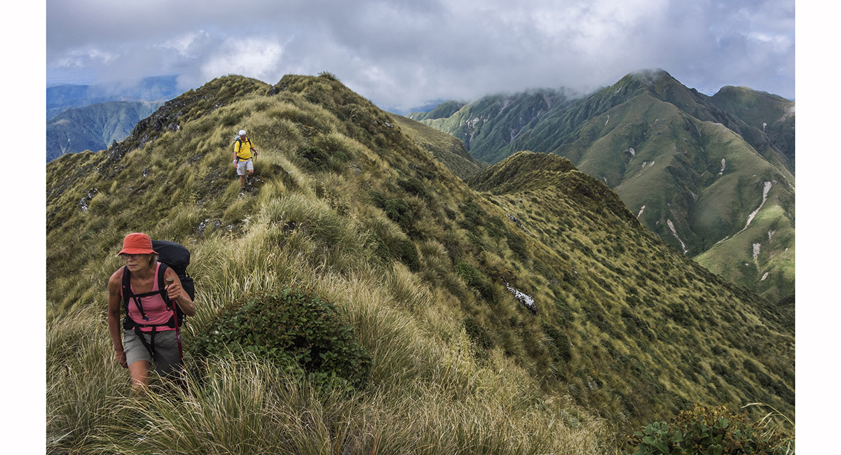
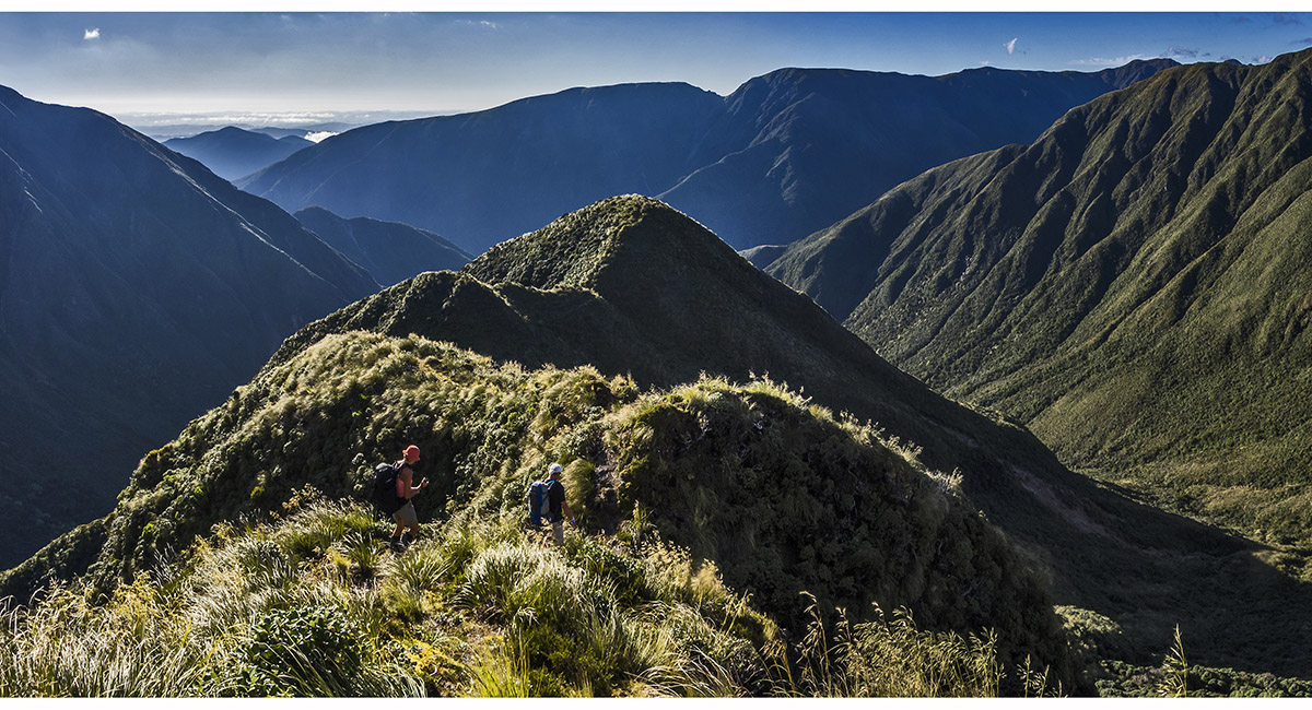
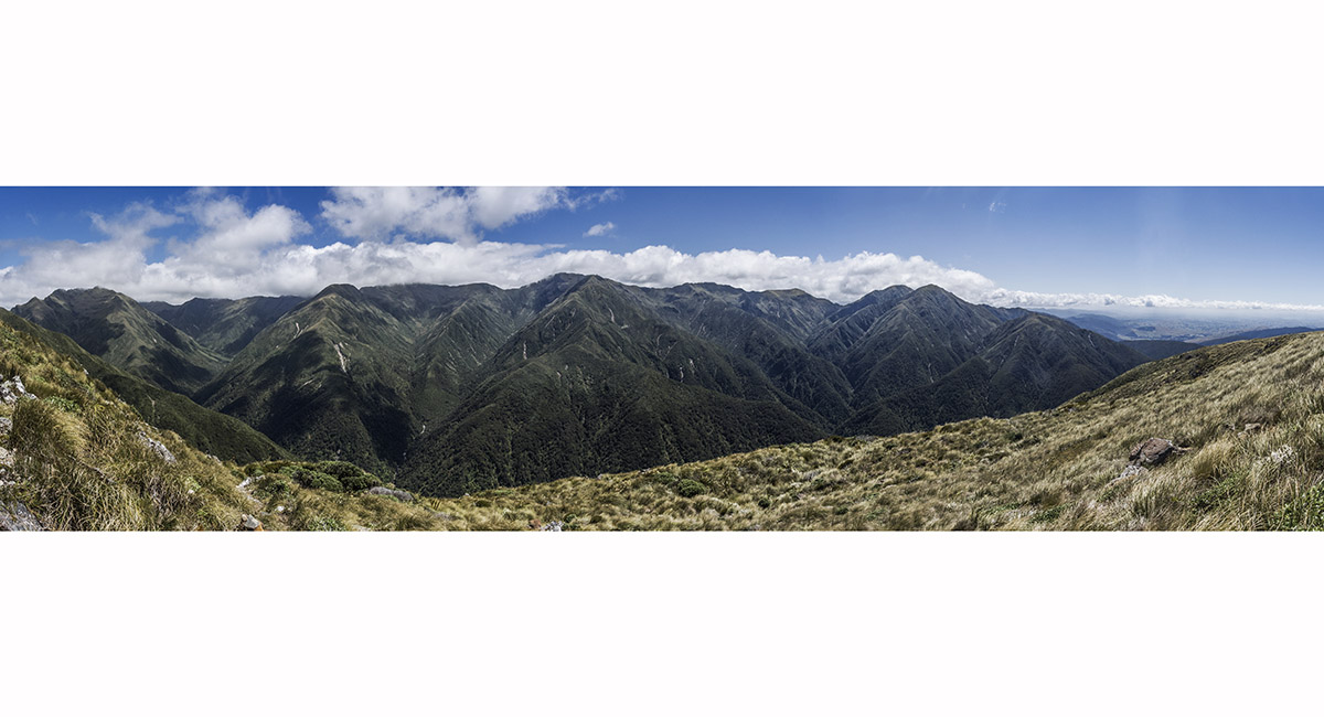
Looking south, on the approach to East Peak (1,355m). West Peak (1,335m) is far right. Walker (1,392m) is beyond that, with Pukemoremore (1,474m) in cloud

On the approach to East Peak

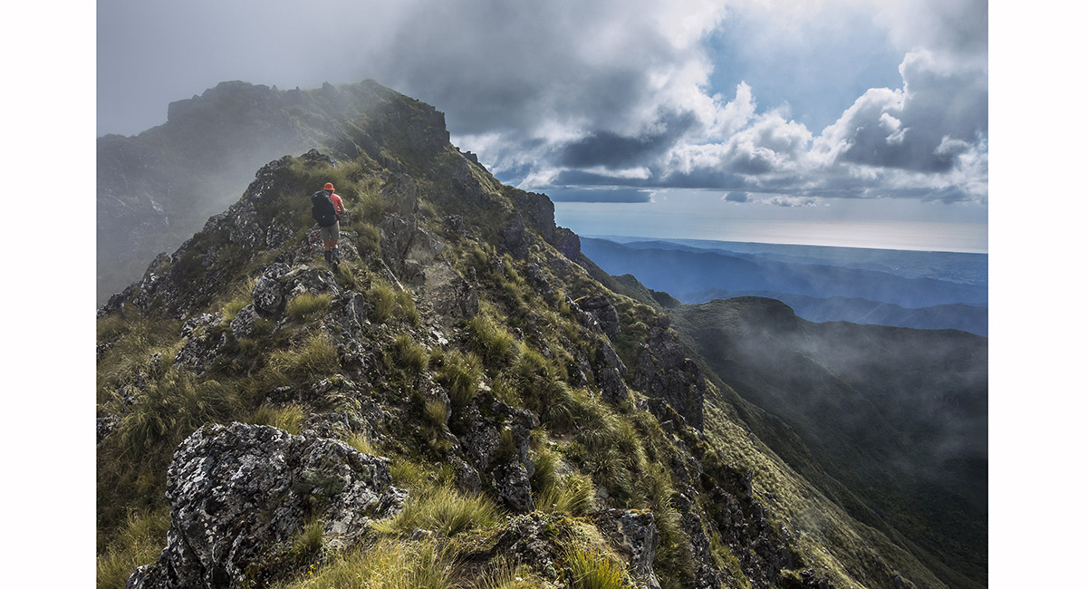
View from East Peak (1,355m) to West Peak (1,335m) and Walker (1,392m)

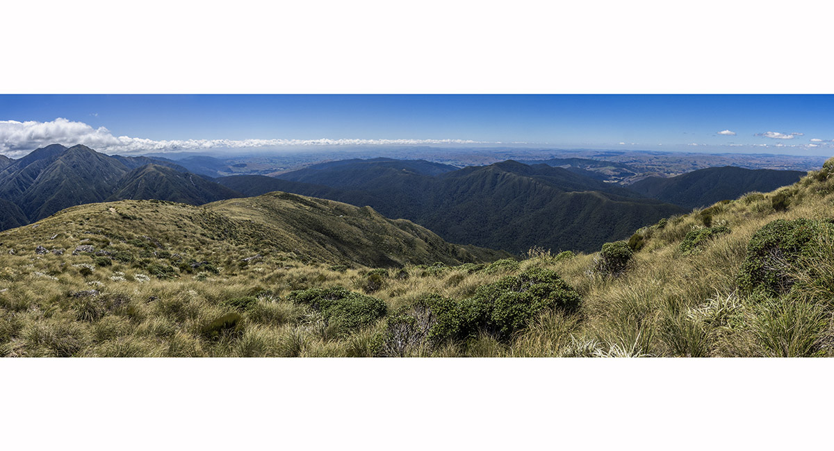
View west from West Peak, across the Tararuas to Kapiti Island and beyond


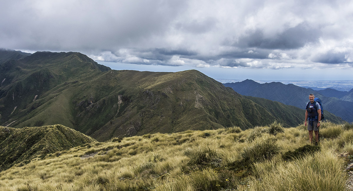
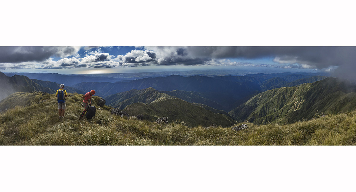
Departing West Peak (1,335m), with Walker (1,392m) ahead


On the ridge just north of Walker (1,392m)

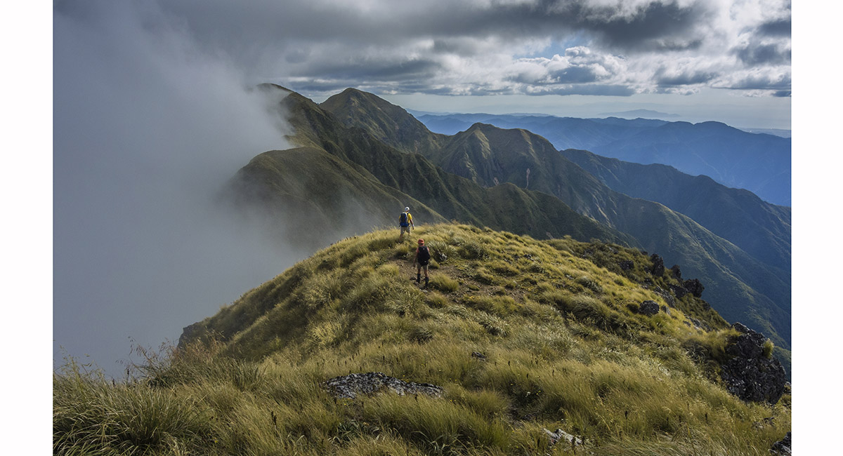
Coming off Walker, with East Peak in the right hand background

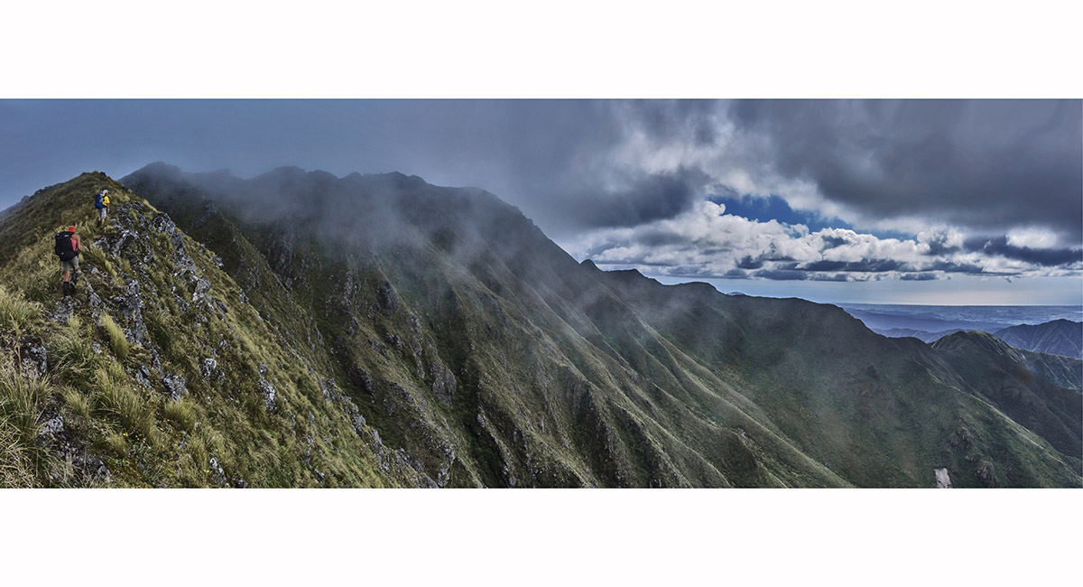
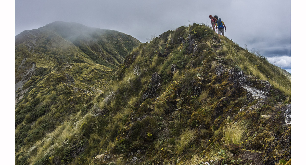
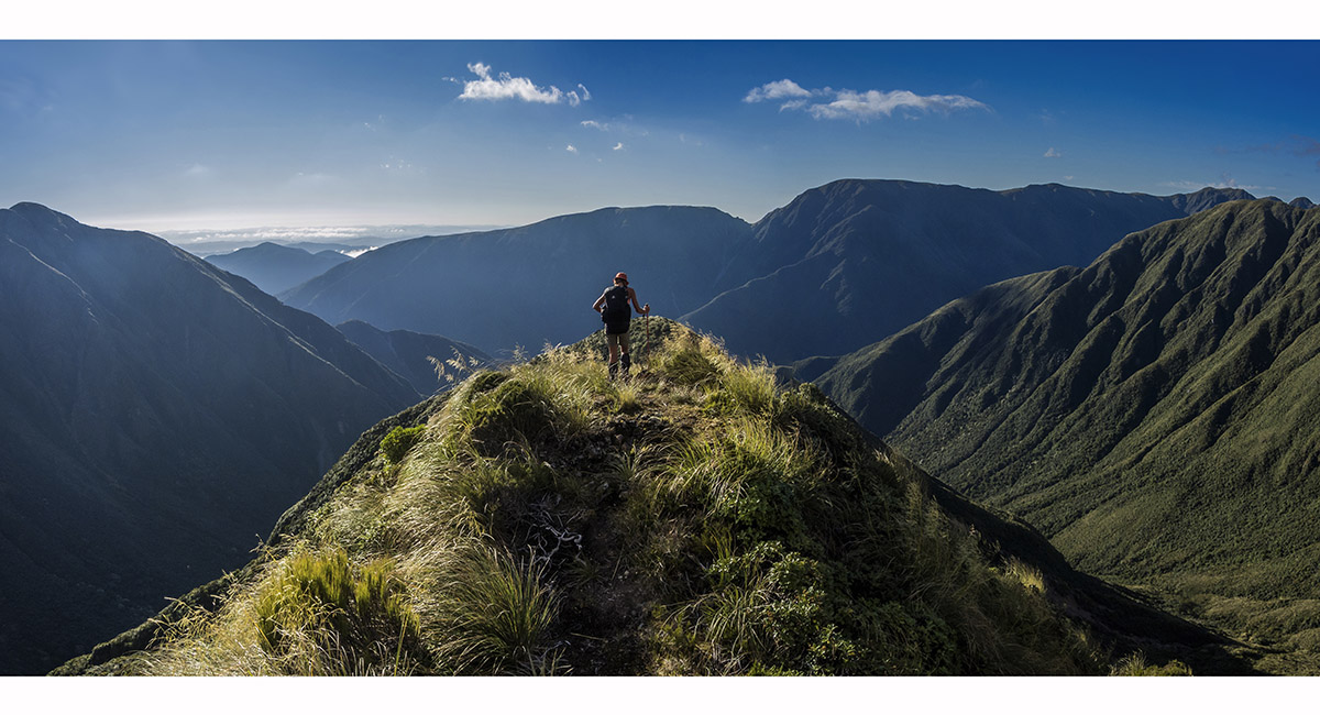
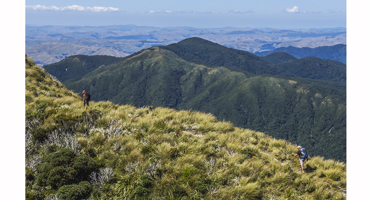
On the narrow ridge leading to Pukemoremore (1,474m)

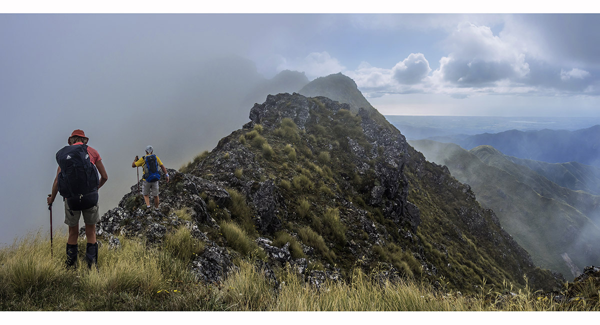
On the narrow ridge leading to Pukemoremore (1,474m)

On the narrow ridge leading to Pukemoremore (1,474m)

On the narrow ridge leading to Pukemoremore (1,474m)

Summit view west and north, from Pukemoremore (1,474m)

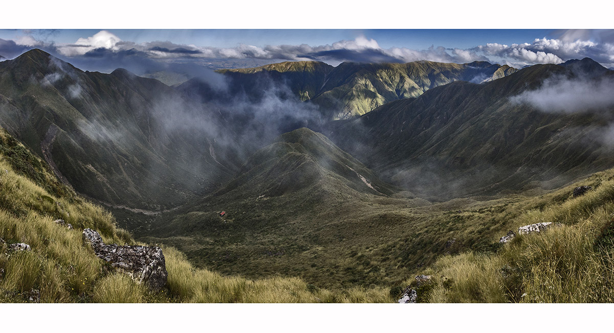
Departing Pukemoremore (1,474m), en route to Dundas Hut (1,225m)


Below Pukemoremore, en route to Dundas Hut. Logan (1,500m) is dead ahead, with Triangle Knob (1,327m) beyond

View from the saddle (1,415m) above and west of Dundas Hut, looking east to Cattle Ridge (1,400m)

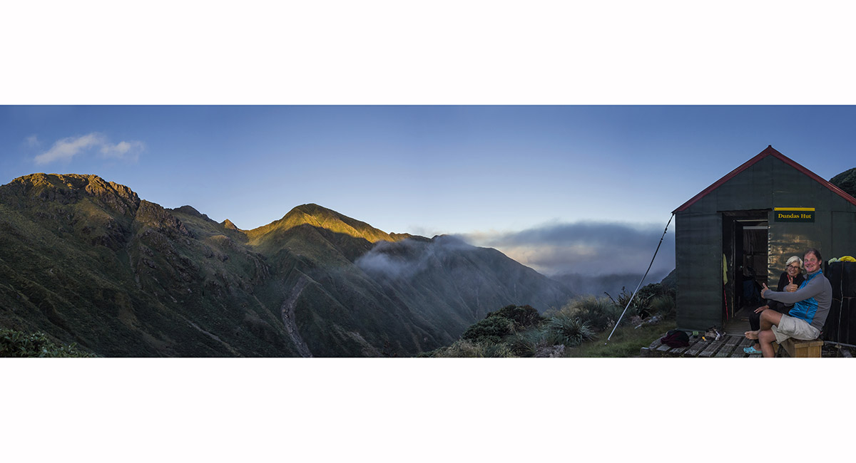
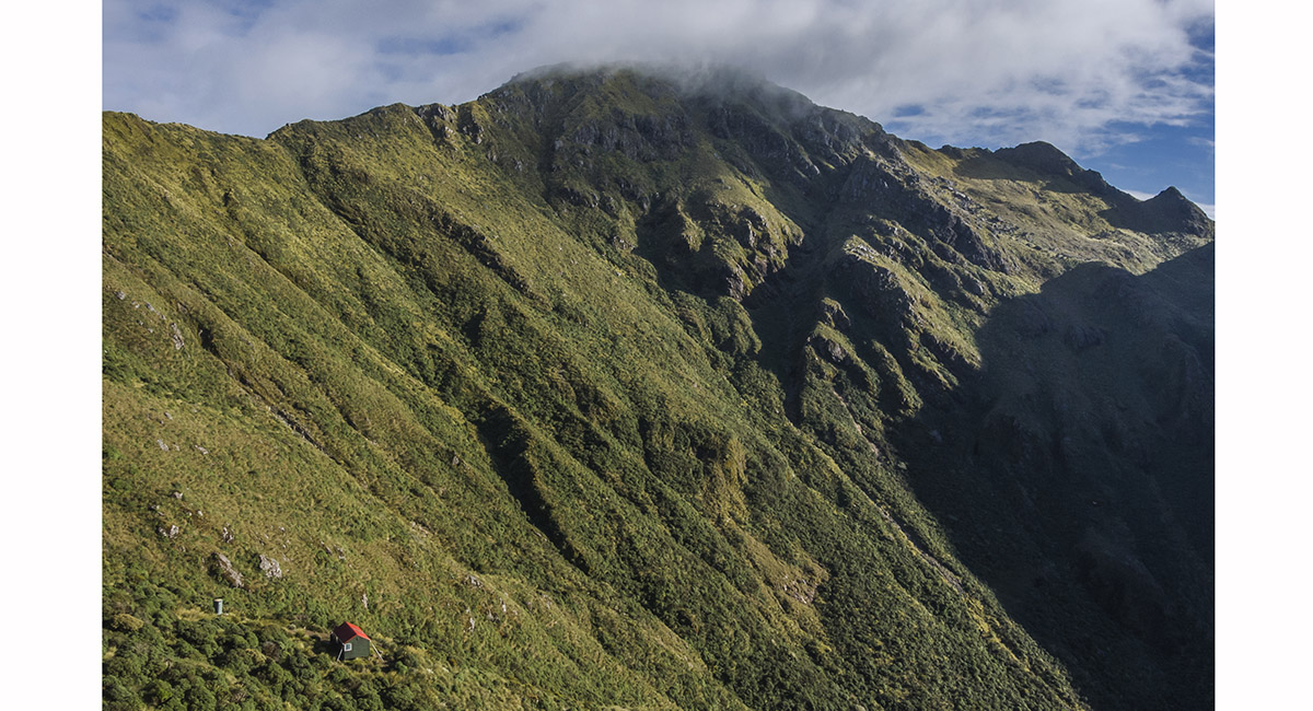
Sunset on Pukemoremore (1,474m - left) and the Dome (1,410m), from Dundas Hut (1,225m)

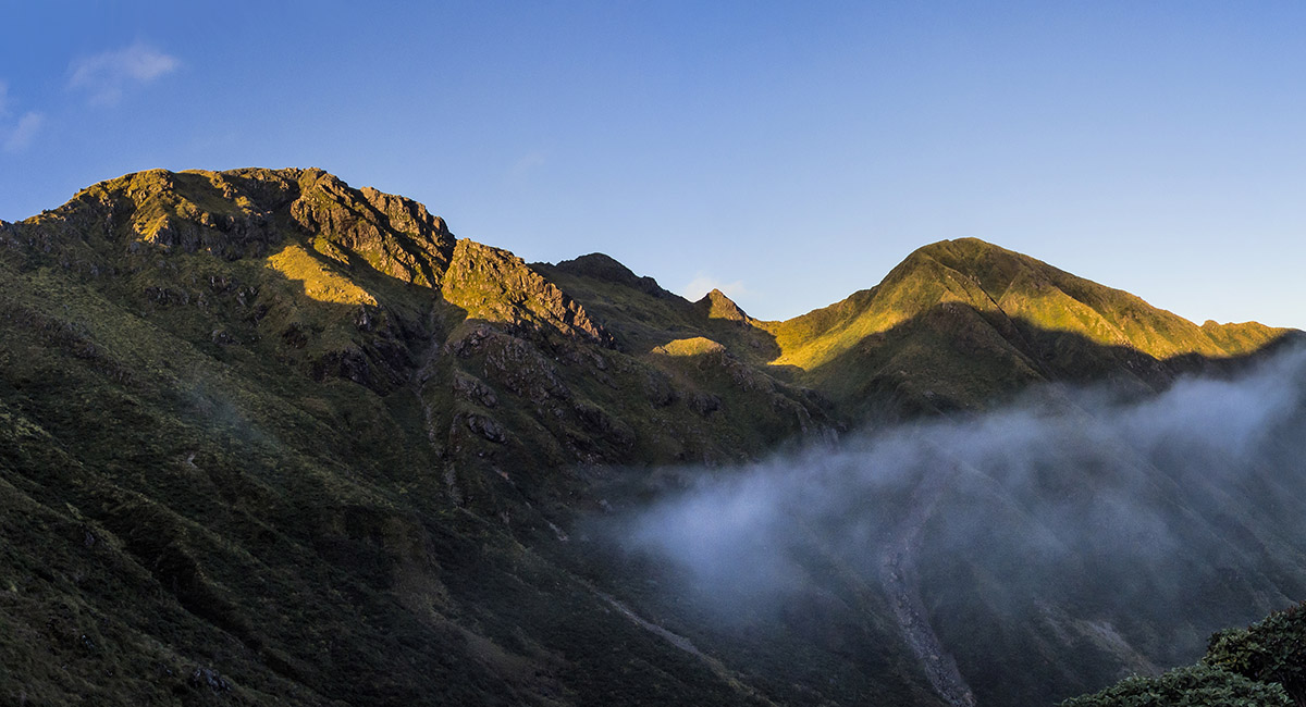
Sunset on Pukemoremore (1,474m - left) and the Dome (1,410m), from Dundas Hut (1,225m)

On the ridge above and east of Dundas Hut, en route to Cattle Ridge

On the ridge east of Dundas Hut, en route to Cattle Ridge

Dundas Hut and Pukemoremore


Looking back up the ridge east of Dundas Hut, en route to Cattle Ridge

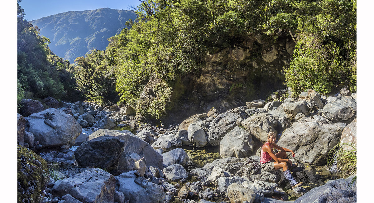
Down at the first river crossing (700m) between Dundas Hut and Cattle Ridge

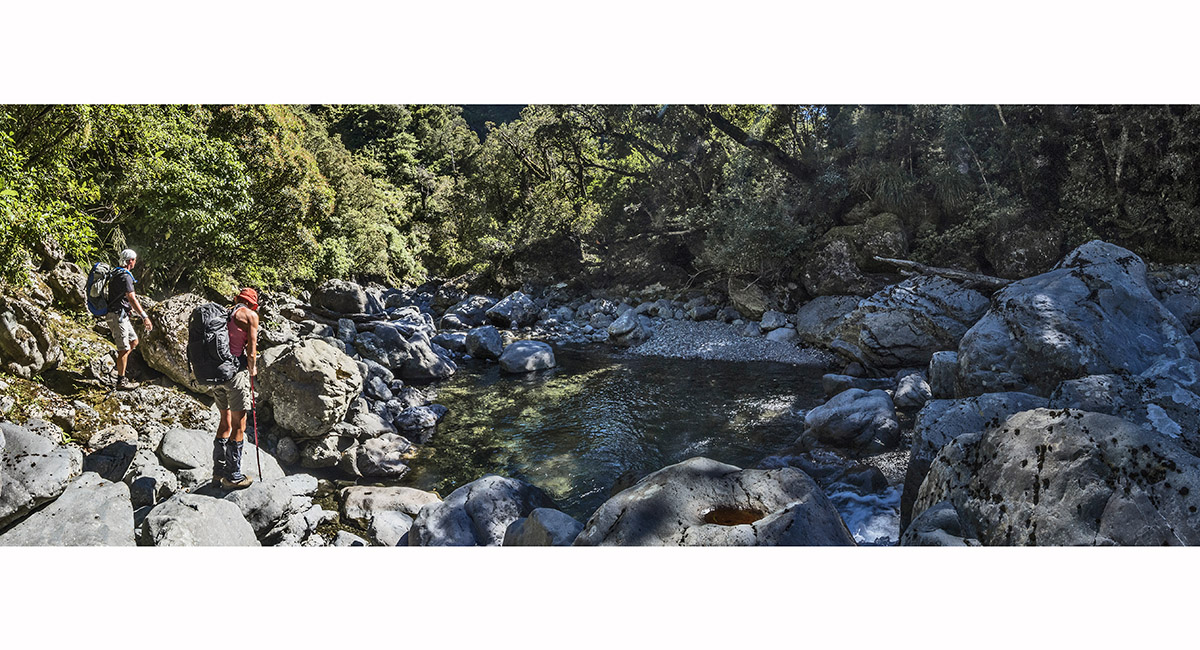
At the Ruamahanga River crossing (600m), just before the 600m climb to Cattle Ridge Hut

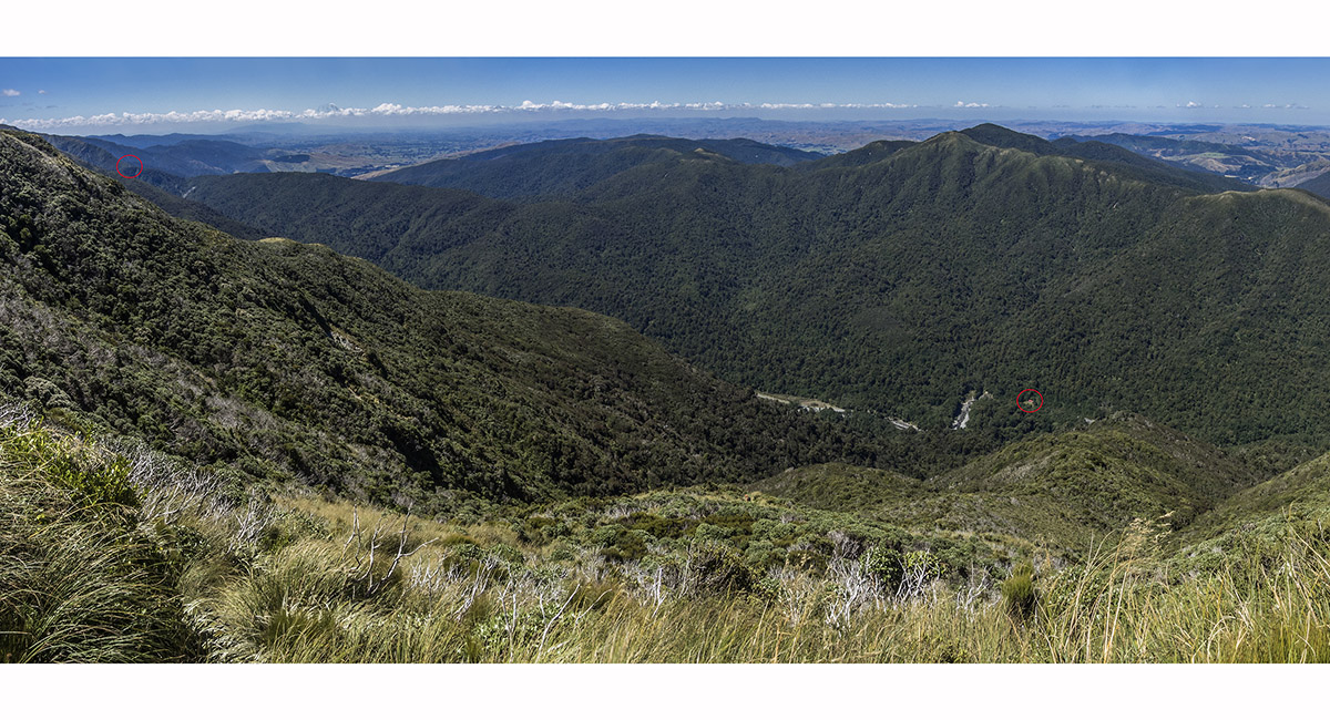
View north and west, taking in the entire route from Herepai to Pukemoremore and Dundas Hut, from Cattle Ridge (1,200m)

View north and east from Cattle Ridge (1,200m). Cattle Ridge Hut (1,170m) is the tiny white dot left of centre

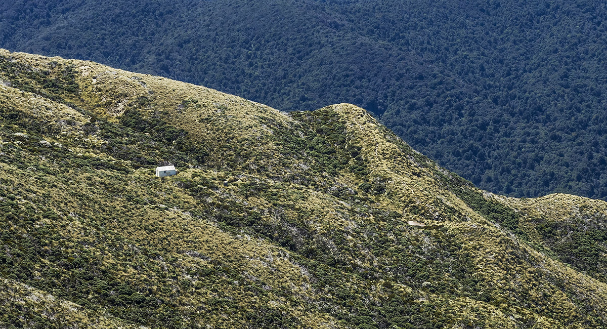
Cattle Ridge Hut (1,170m), viewed from near Pukeroa (1,318m) on Cattle Ridge

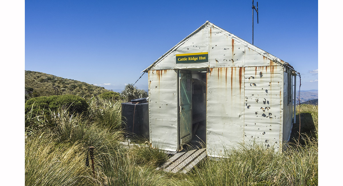
Cattle Ridge Hut (1,170m)

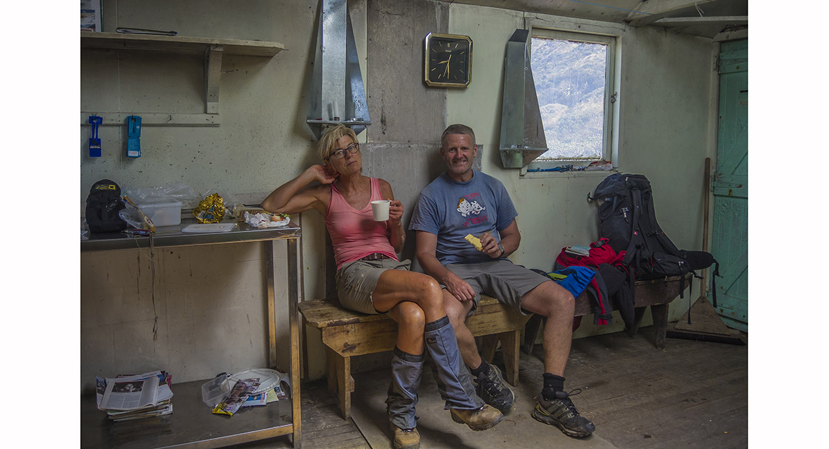
Inside Cattle Ridge Hut (1,170m)


Below Cattle Ridge Hut, looking east, on the 750m descent to Roaring Stag Hut

Below Cattle Ridge Hut, looking northeast, on the descent to Roaring Stag Hut

View north and east, with Herepai Hut (800m, indicated by the left red circle) and Roaring Stag Hut (420m, indicated by the right red circle)

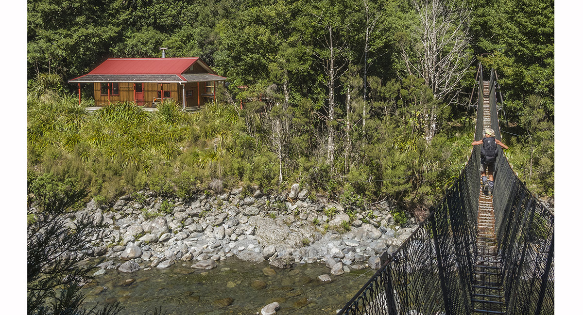
Roaring Stag Hut (420m)

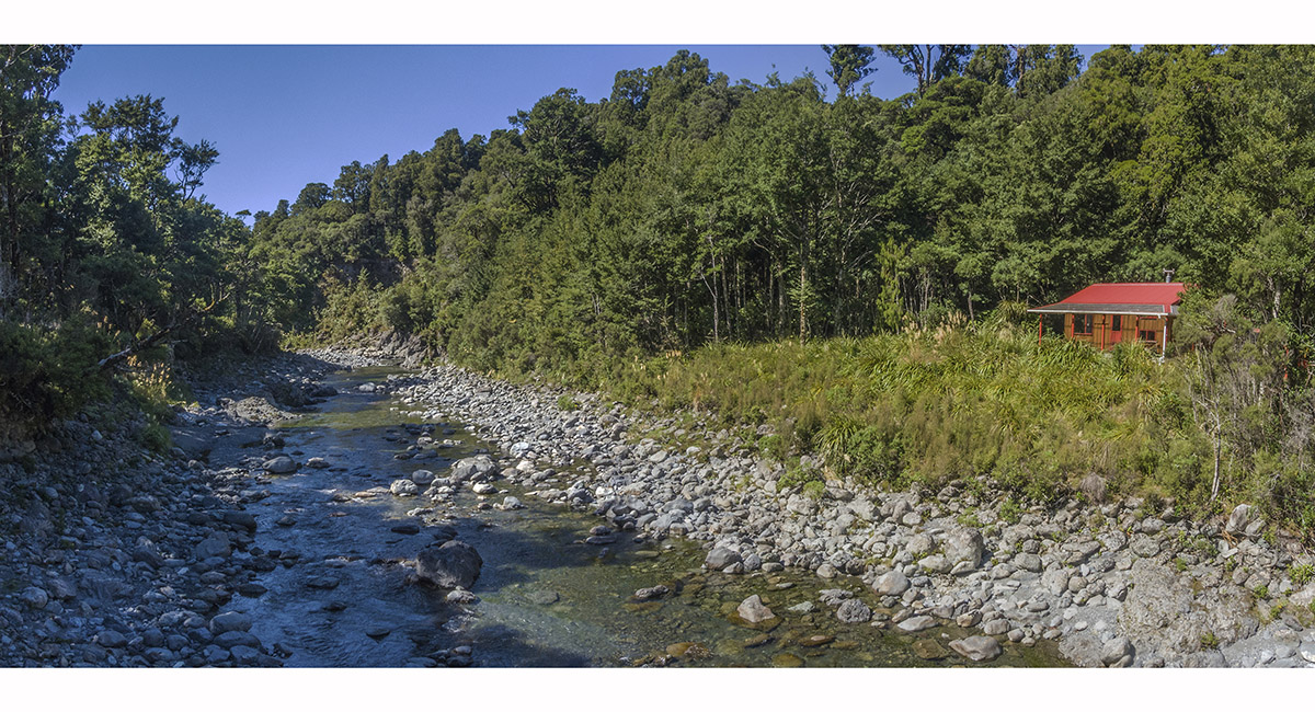
View north from Roaring Stag Hut (420m)

Read about it
Rustic and remote Wilderness Magazine Nov 16
Jumping off point Wilderness Magazine Jan 17
![]()
To order a print or web resolution file of any image you see in this slide show, just right click the image, click “Copy Image URL” and paste in to the “Your message” box of our Contact Us form. Please also note, for each image, if you want a print or web resolution file. We will get back to you as soon as possible to confirm price and payment details.
Open Contact Us in a new window to paste Image URL(s) easily