Broken Axe Pinnacles, July 2014

On the eastern approach from Masterton

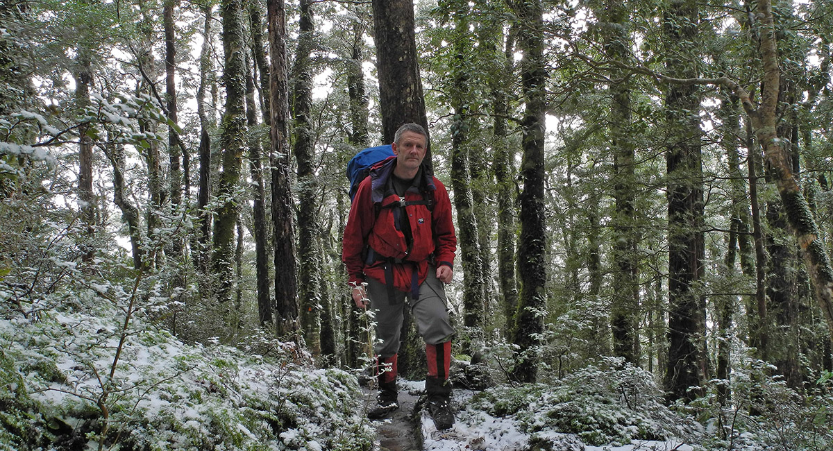
Reaching snow at about 700m on the Raingauge Spur Track below Jumbo Hut

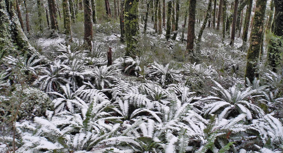
Snow dusted bush at about 800m

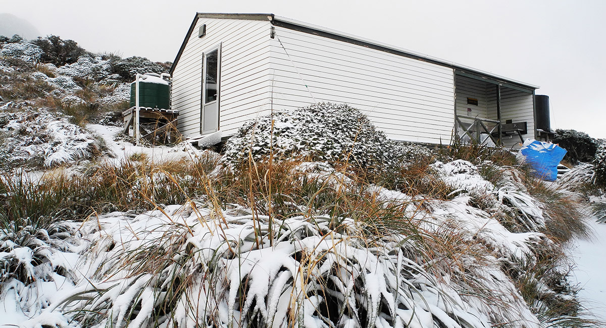
Jumbo Hut (1,130m). Frozen pipes but plenty of snow for melting

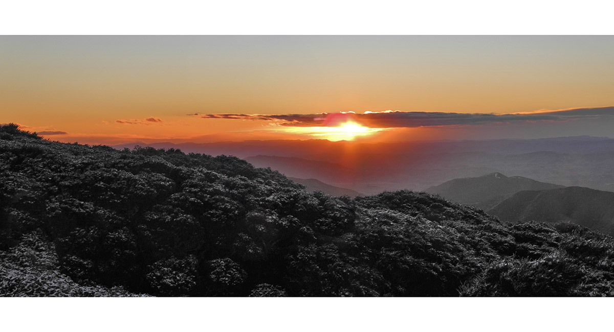
Dusk view east from Jumbo Hut

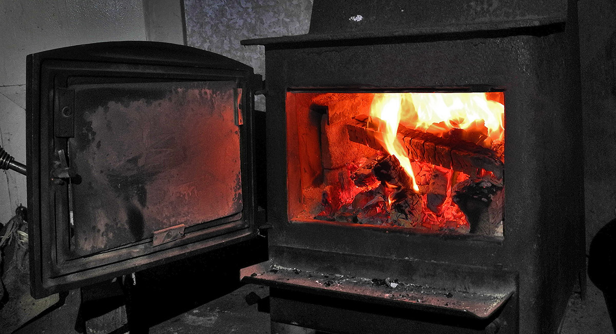
The effort to get Jumbo's stove started was well worth it

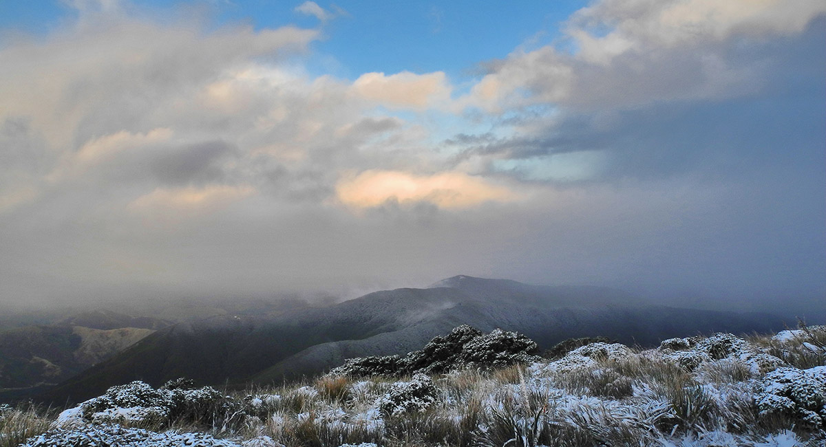
Dawn view east from Jumbo Hut

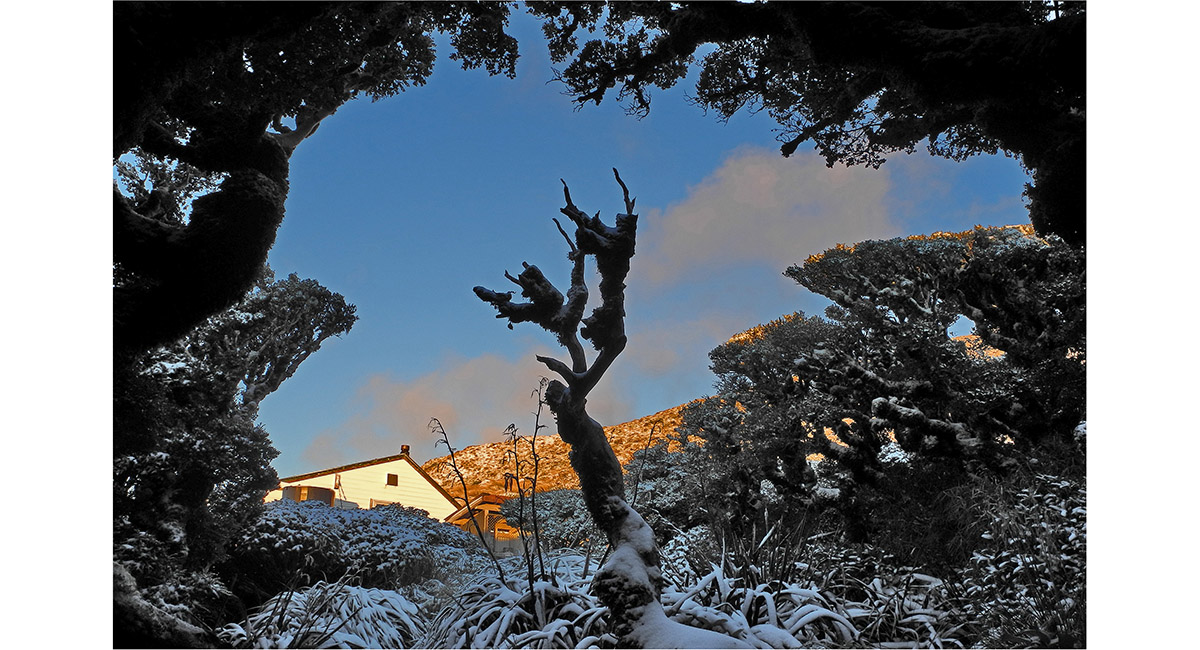
View from the loo to Jumbo Hut

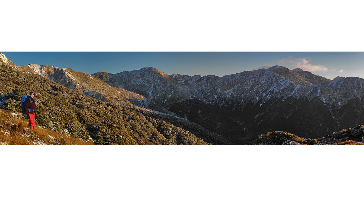
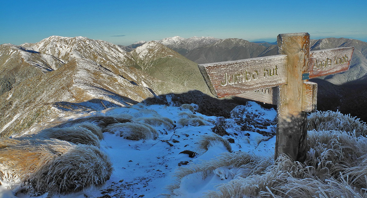
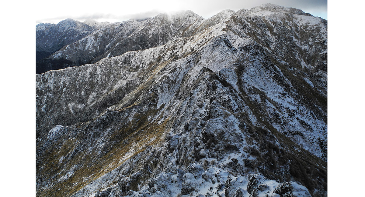
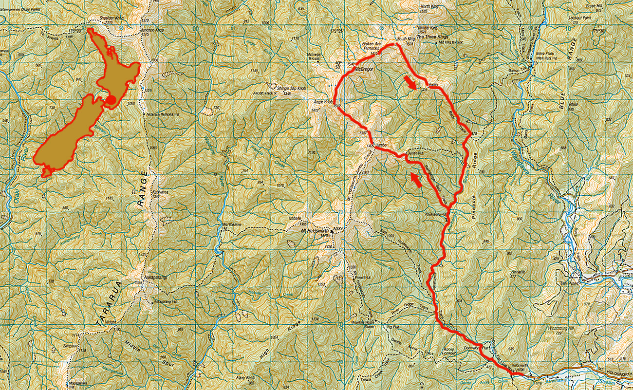
Above Jumbo Hut, my route for the day. From left - the ridge route between Jumbo (1,405m) and McGregor (1,540m - left of centre); the Broken Axe Pinnacles (1,425m - centre), leading back up to the top of Baldy Ridge, which leads out of frame to the right. The three Kings are right of Baldy

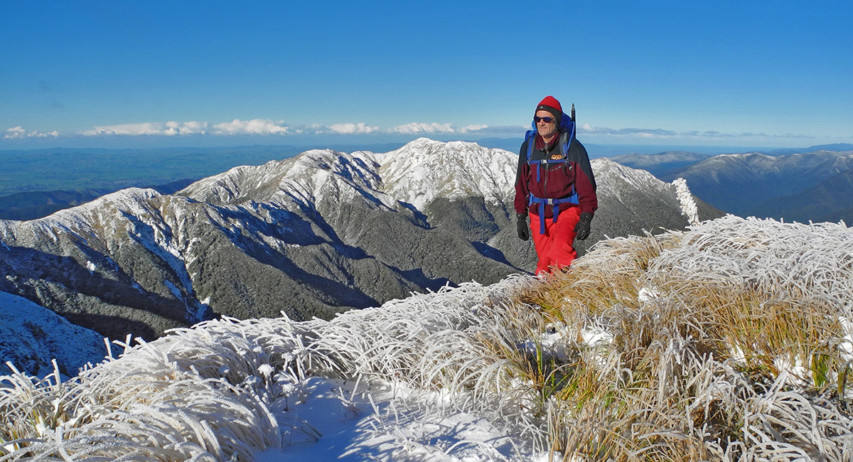
On Jumbo (1,405m), with Mount Holdsworth (1,470m - left near skyline) and Mount Hector (1,529m) - centre far skyline)

View north and west beyond Jumbo. Angle Knob (1,510m) is on the left skyline. This leads on to McGregor (1,540m) at centre. Then the Broken Axe Pinnacles lead right to South King (1,531m). Baldy Ridge drops out of frame to the right

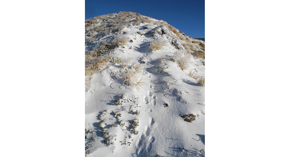
Only traces of four legged company on this beautiful morning


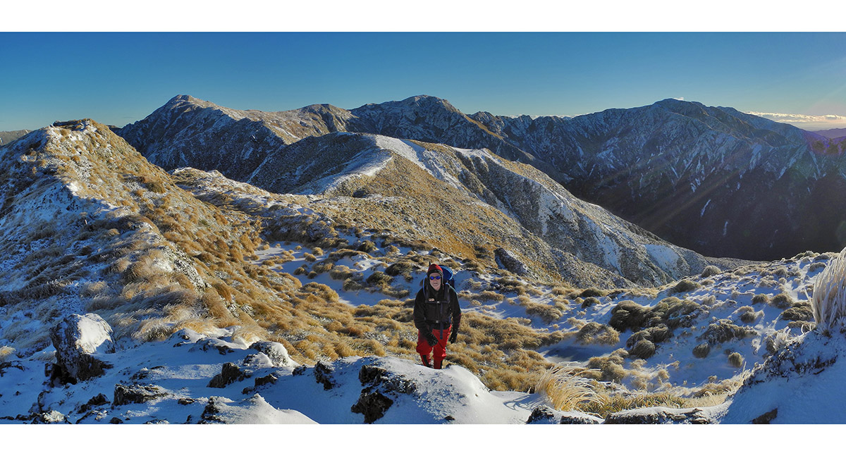
From McGregor (1,540m), looking south along the main spine of the Tararuas, back to Mount Holdsworth (1,470m - right skyline)

From McGregor (1,540m), looking south along the main spine of the Tararuas, from Jumbo to Mount Holdsworth (1,470m)


A foreshortened view from McGregor, northeast along the Broken Axe Pinnacles, to the junction (1,460m - centre) with Baldy and South King. To the left the three Kings lead northwards on to Adkin (1,460m) and Girdlestone (1,546m)

A closer look at the Broken Axe Pinnacles from McGregor. Being alone, I was not game to tackle the exposed broken ridge right across. Even the poled route to the right side of the steepest section of ridge required hanging off handfuls of snowy tussock above quite big dropoffs

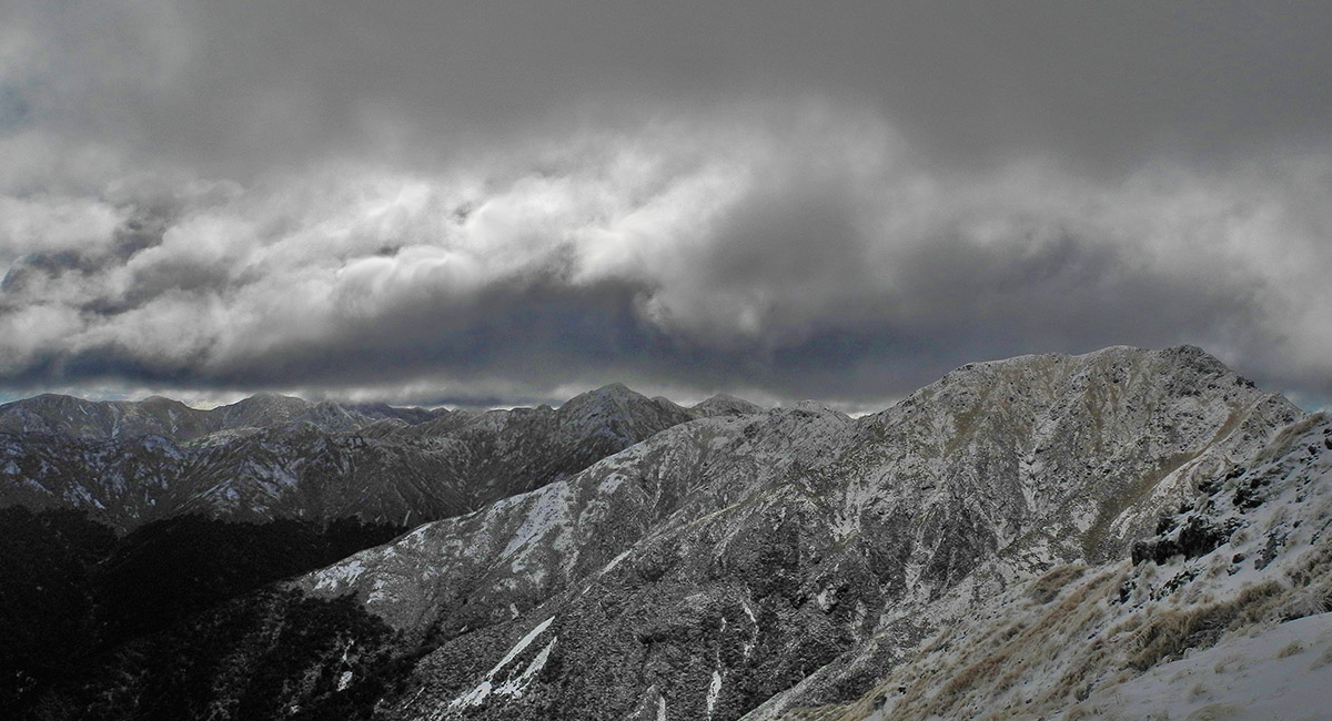
View north to Adkin and beyond. Changing weather reminded me that it was wise to get onto Baldy asap

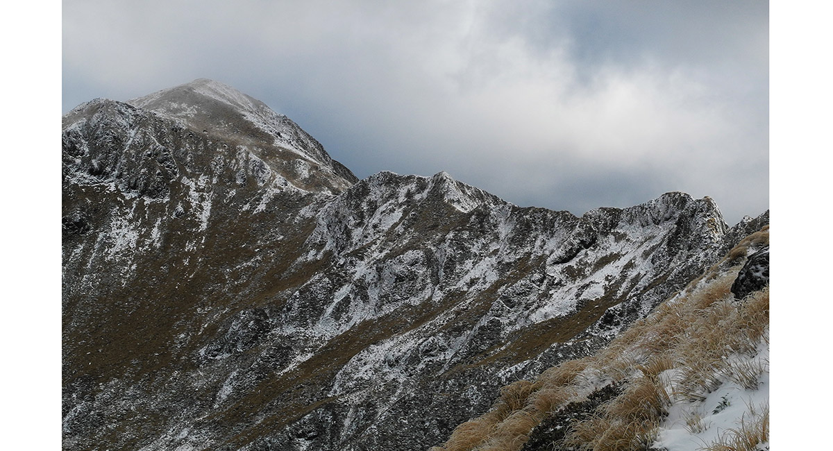
On the north end of the Broken Axe Pinnacles, looking back to McGregor

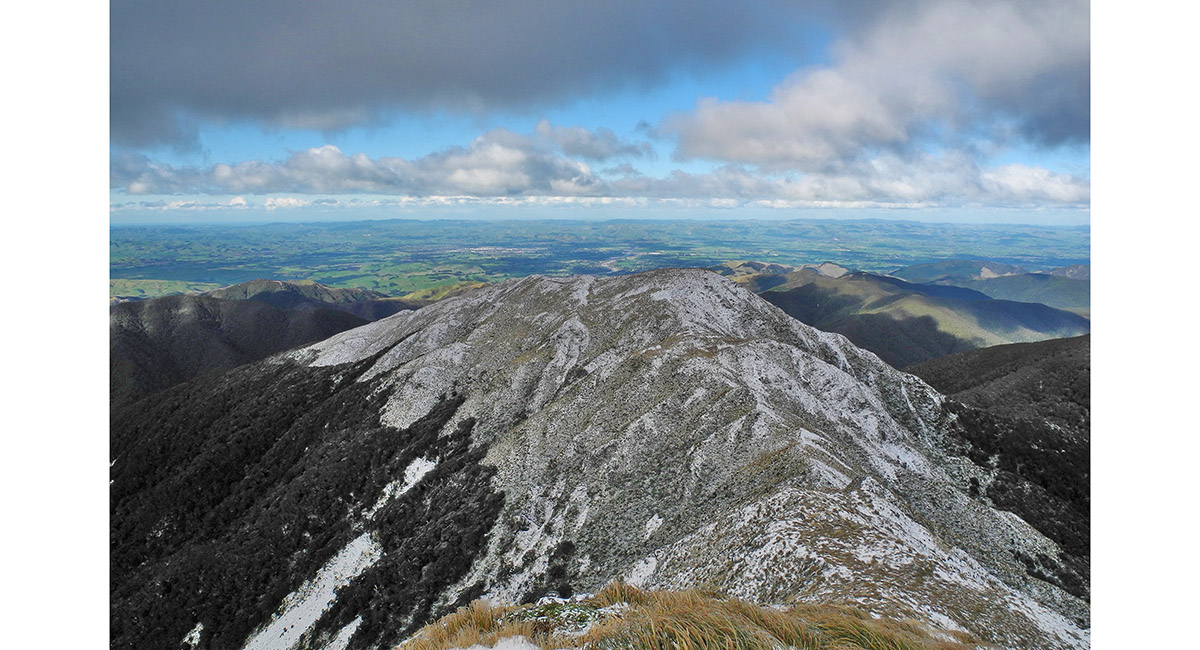
View east, from the Baldy junction, looking down Baldy Ridge. The high point of this ridge, before it drops into the bush is 1,325m


Above the bushline on Baldy ridge, looking east to the Wairarapa


The orange triangle confirms my route back in to the bush, at 1,160m, south east end of Baldy

![]()
To order a print or web resolution file of any image you see in this slide show, just right click the image, click “Copy Image URL” and paste in to the “Your message” box of our Contact Us form. Please also note, for each image, if you want a print or web resolution file. We will get back to you as soon as possible to confirm price and payment details.
Open Contact Us in a new window to paste Image URL(s) easily