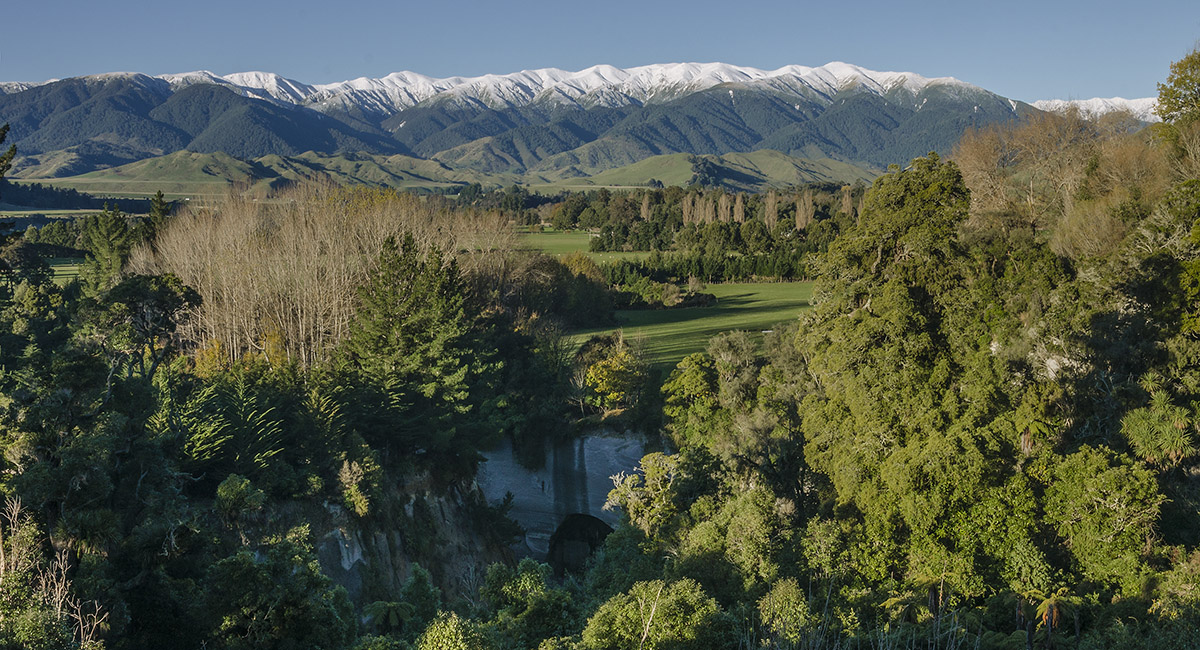
Mangaweka Peak, May 2015
On the approach to the road end. Mangaweka Peak (1,731m) is the highest point on the ridge at the right end

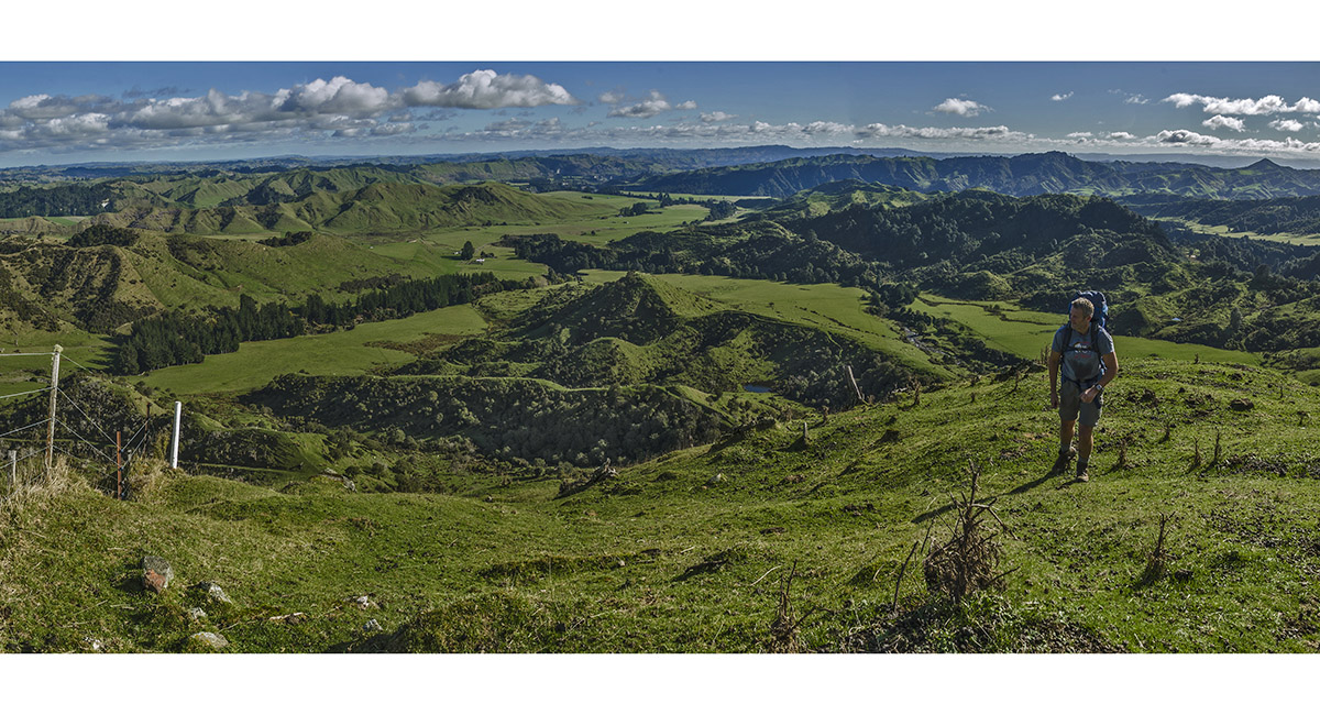
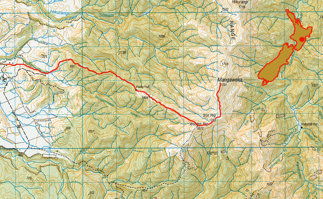
View back to the road end (600m) from 900m, just before entering the Ruahine Forest Park. To cross the privately owned farmland below requires advanced permission from the farmer - call Richard on 06 382 5856

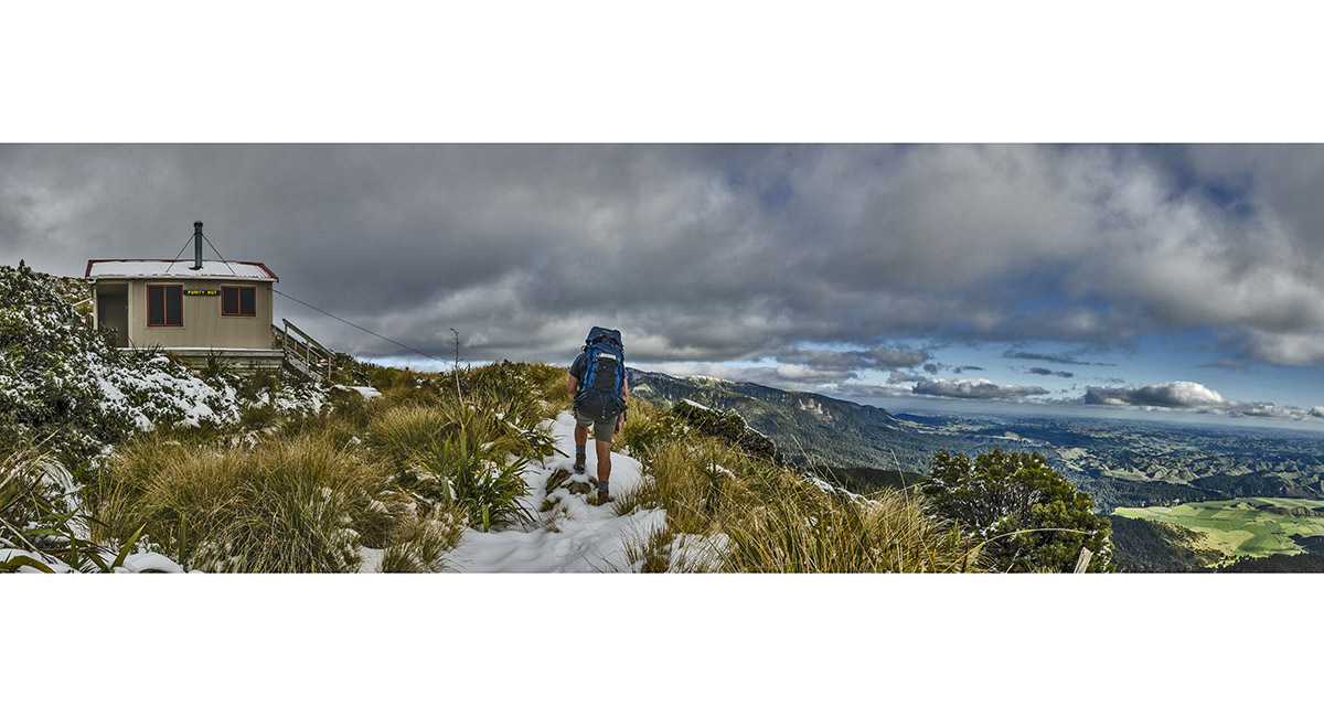
Approaching Purity Hut (1,320m)

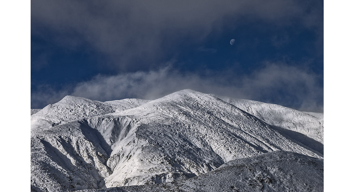
From about 1,500m, looking up the ridge to Wooden Peg (1,672m, far right). From there, Iron Peg (1,703m) is the next high point and Mangaweka Peak (1,731m) is beyond the skyline beneath the Moon

A closer look towards Mangaweka Peak

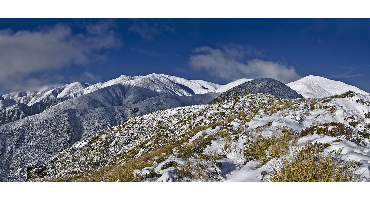
From 1,600m, looking back down the ridge towards Purity Hut


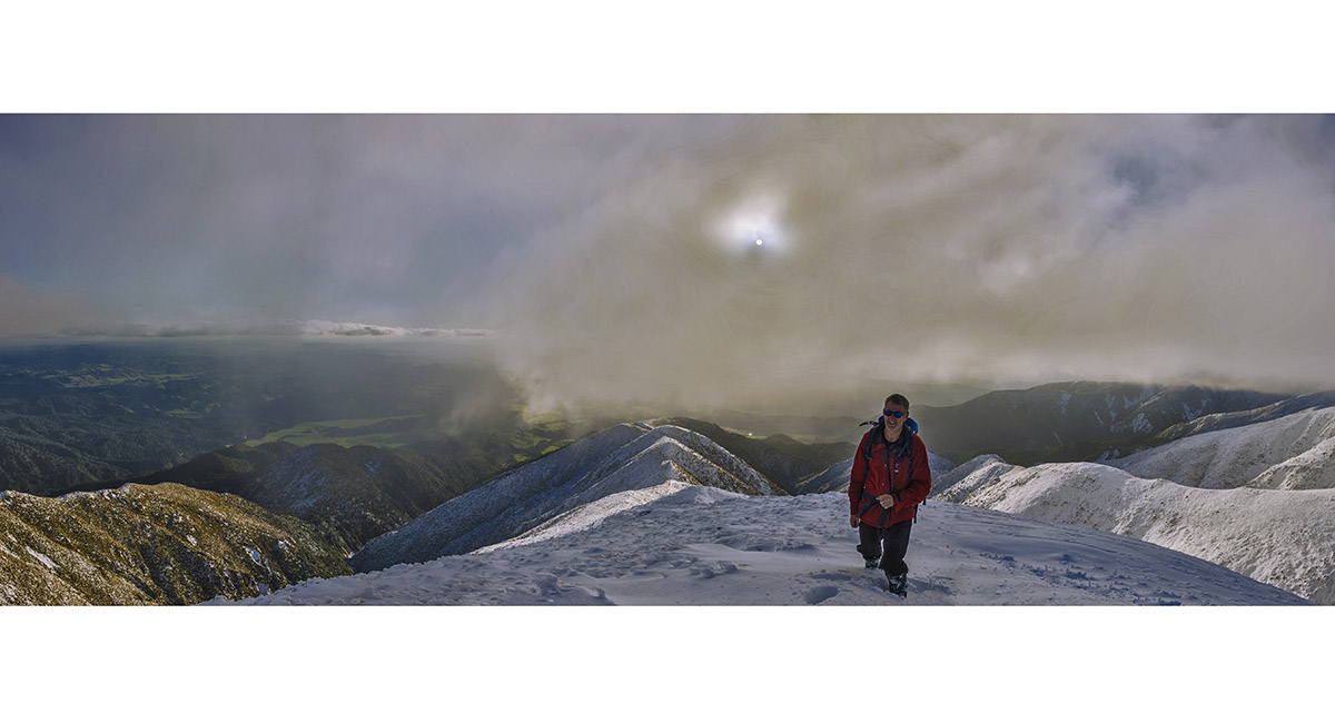
Looking up the ridge towards Wooden Peg, in cloud

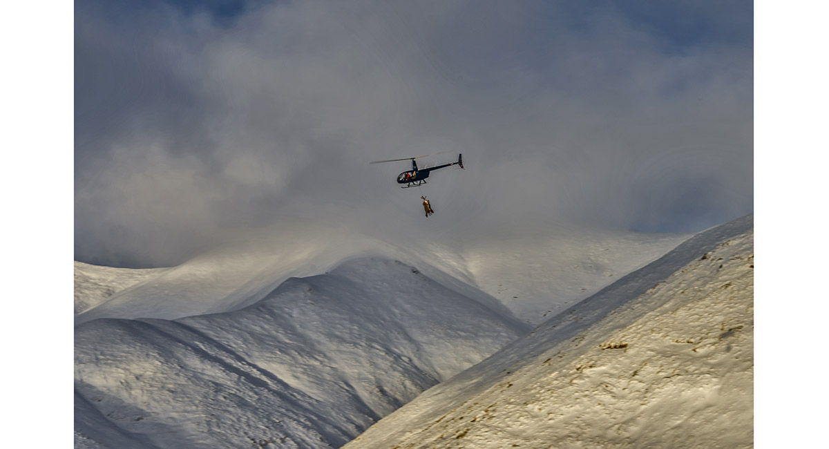
Hunters returning with their kills before sunset

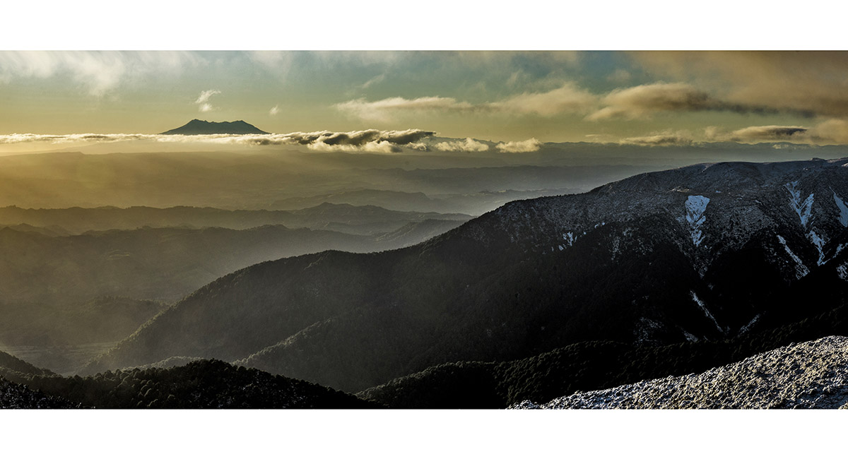
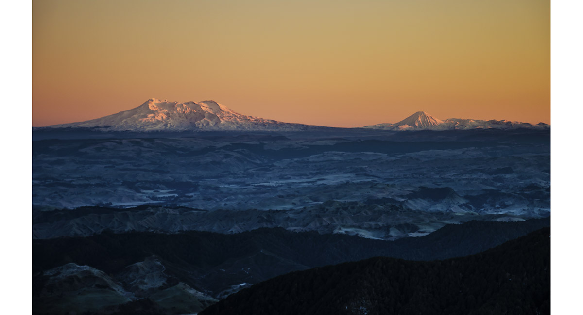
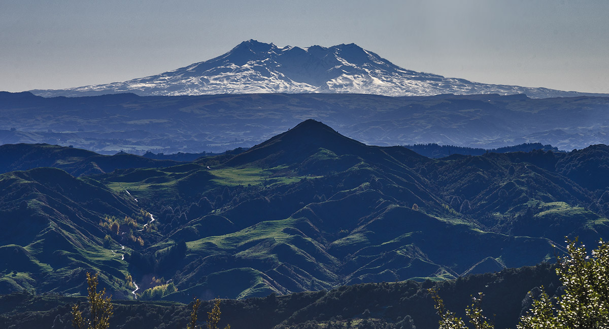
Ruapehu, viewed from about 1,500m

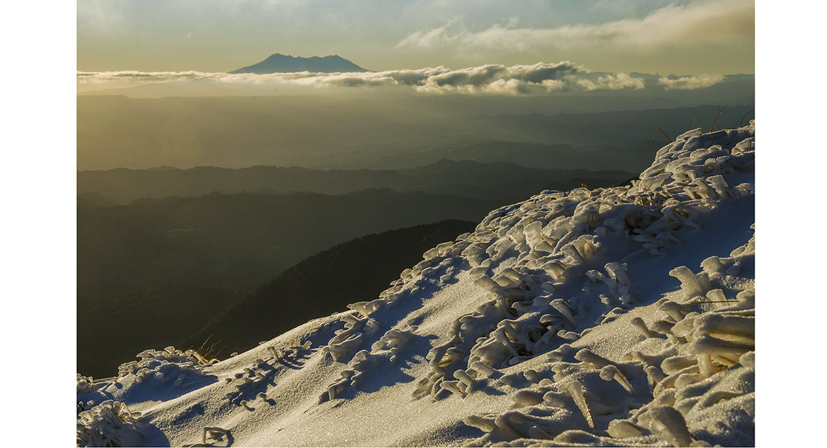
The south eastern aspect of Ruapehu

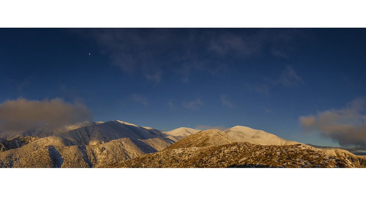
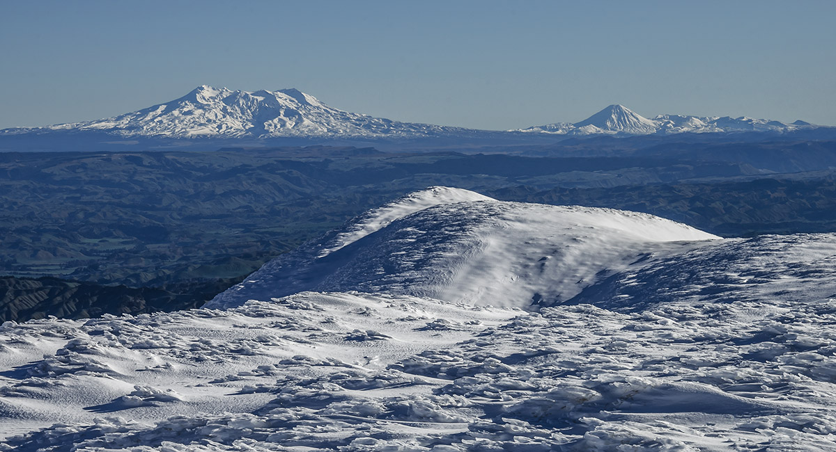
Viewed at 1,400m, from left, Mangaweka (beneath the Moon), Iron Peg and Wooden Peg

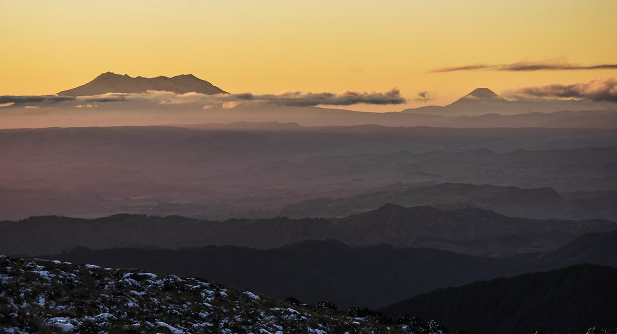
Ruapehu and Ngauruhoe from above Purity Hut

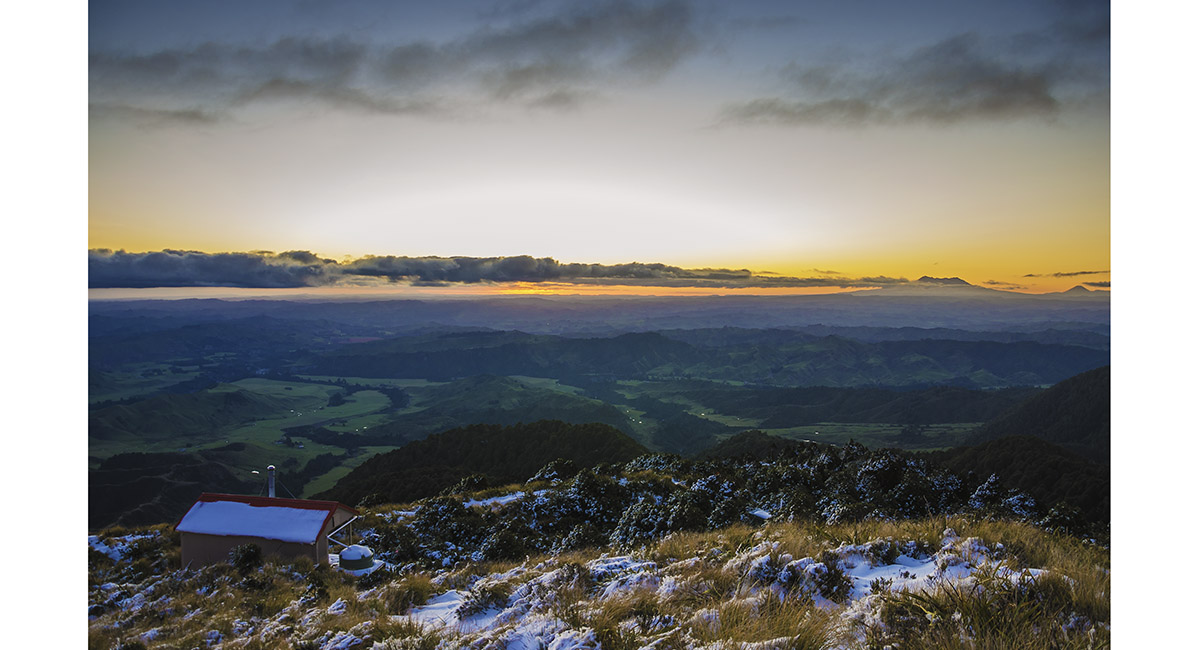
Purity Hut at sunset

Ruapehu and Ngauruhoe at dawn from above Purity Hut


Ruapehu and Ngauruhoe at dawn from about 1,400m


Ngauruhoe

Back at 1,600m beneath Wooden Peg - at the end of my snow plugging of the evening before

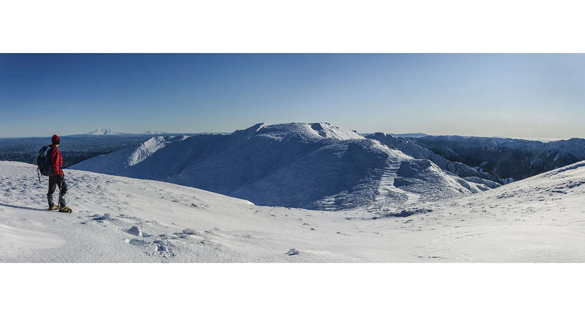
On Iron Peg (1,703m), looking towards Mangaweka Peak. Not much height gain to go but a lot of knee deep soft snow still to cover

Near the summit of Mangaweka Peak, which is a large flat ridge - Ruapehu and Ngauruhoe to the north west

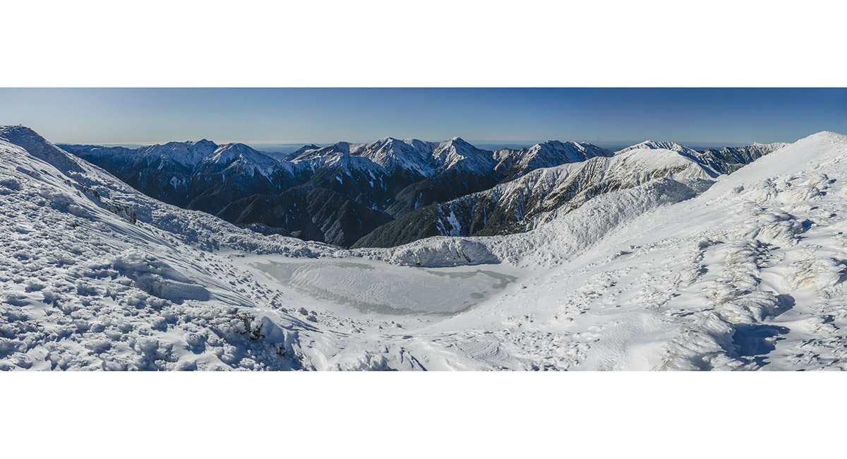
A view near Managaweka's summit (far left) looking east, from left, to Te Atuaoparapara (1,687m), Rangioteatua (1,704m), Paemutu (1,682m), Ohuinga (1,686m) and, along Sawtooth ridge, Teraha (1,668m). Iron Peg is in the far right foreground

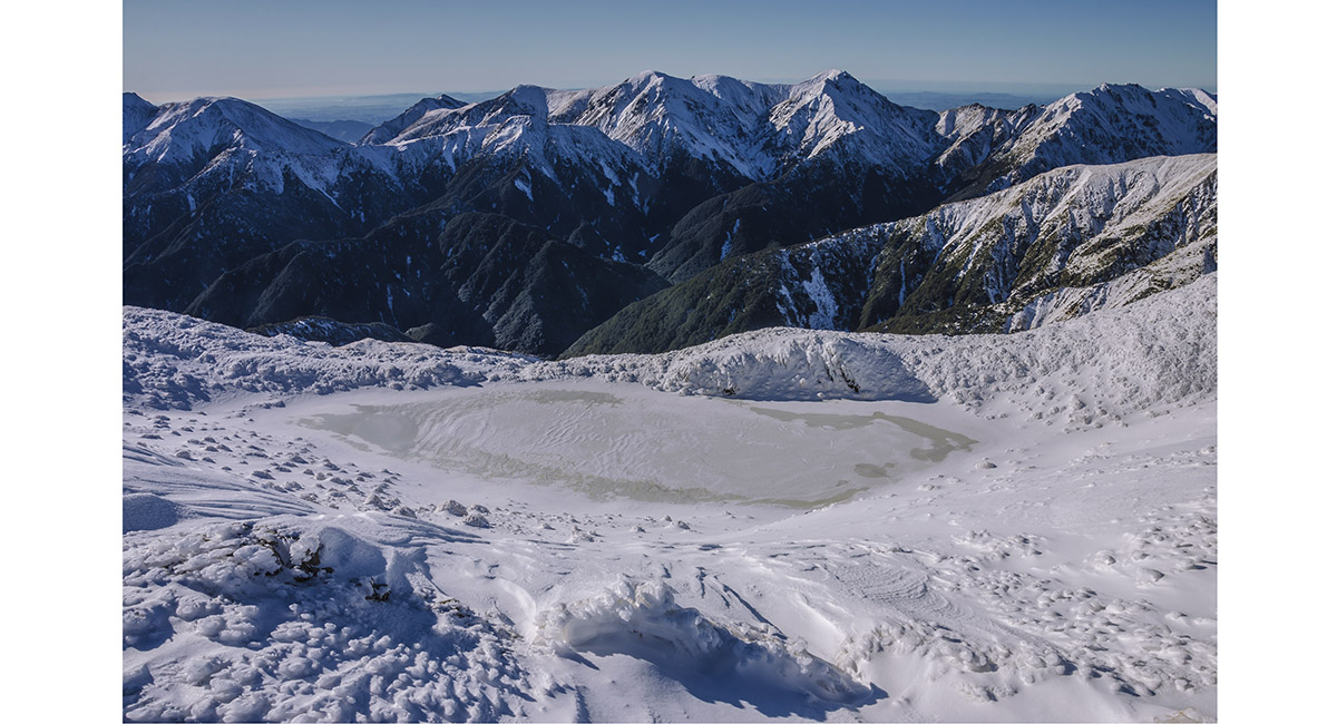
A closer view east from near Mangaweka's summit

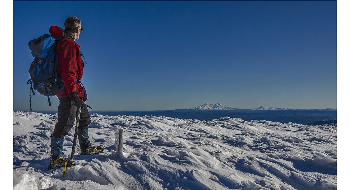
Summit view (1,731m)


My route back from the summit over Iron and Wooden Peg, then down the ridge to Purity Hut. Now, at least I had my own steps to use, rather than more crashing through fragile snow crust


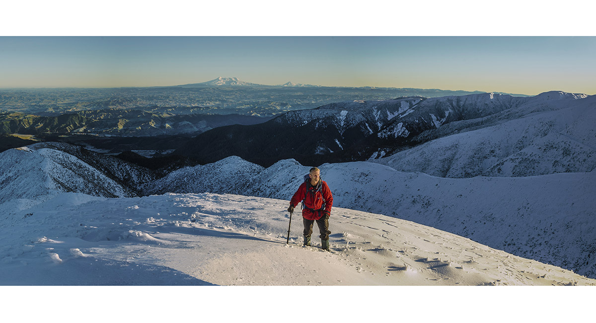
On the ridge at about 1,500m

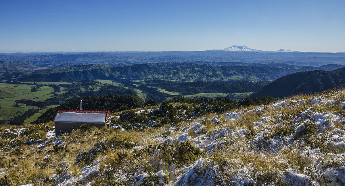
Purity Hut

Ruapehu, viewed from about 1,000m, on the descent through forest


Ruapehu, from back down in farmland

Read about it – Top of the Ruahines Wilderness Magazine June 2017
![]()
To order a print or web resolution file of any image you see in this slide show, just right click the image, click “Copy Image URL” and paste in to the “Your message” box of our Contact Us form. Please also note, for each image, if you want a print or web resolution file. We will get back to you as soon as possible to confirm price and payment details.
Open Contact Us in a new window to paste Image URL(s) easily