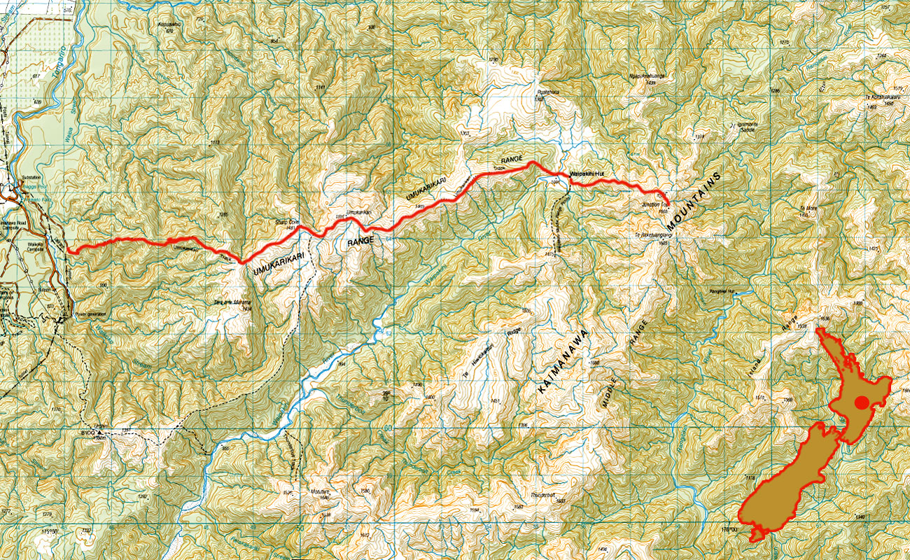
Junction Top, June 2015
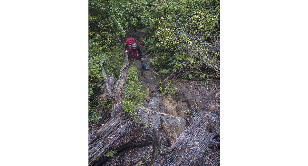
On the trail up through beech forest from the carpark at 680m

Just beneath Umukarikari Peak (1,591m)

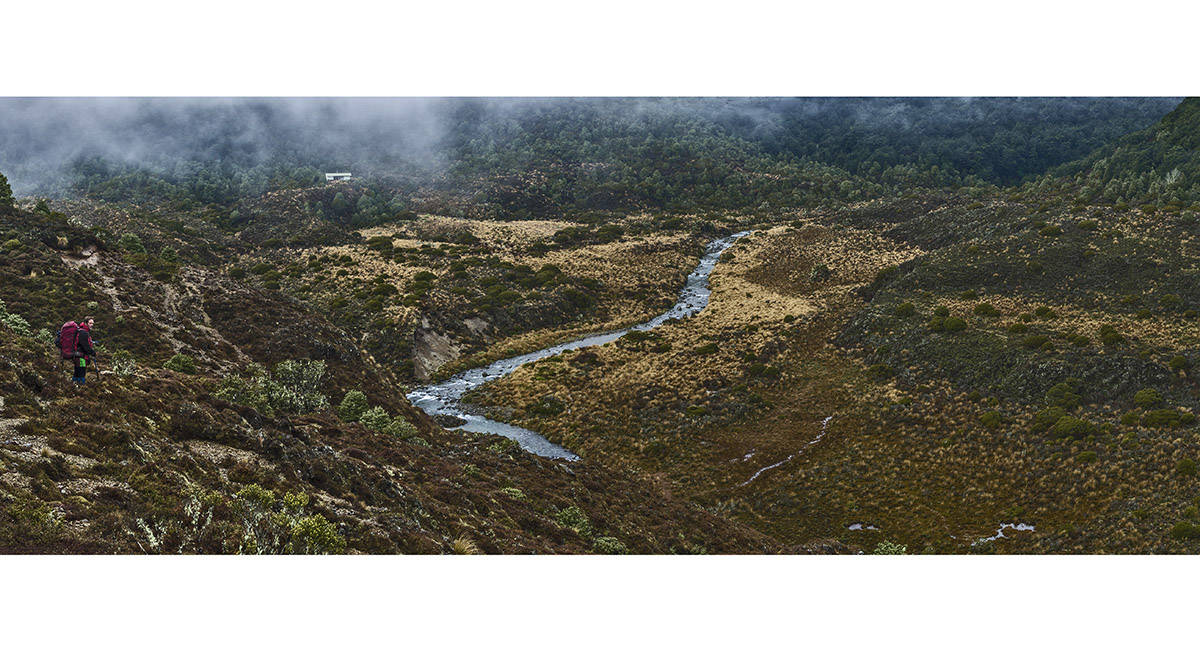
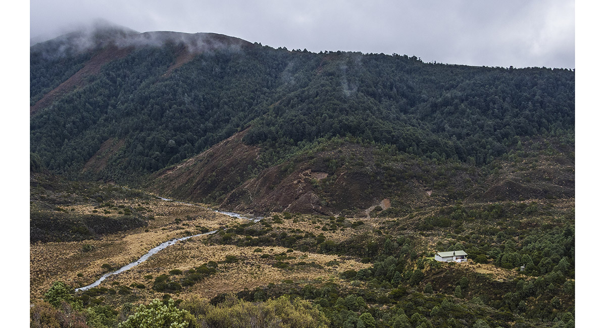
After a descent of about 300 metres off the eastern end of Umukarikari Ridge, Waipakihi Hut (1,100m) and Waipakihi River are reached

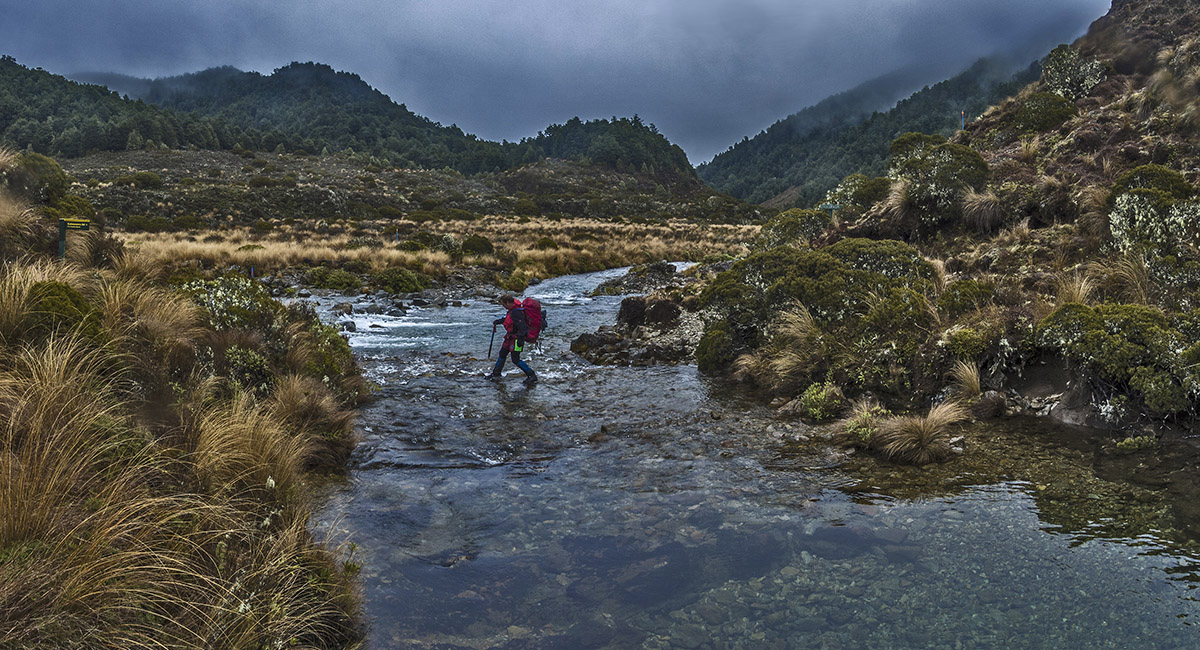
Crossing Waipakihi River

A view back to the eastern end of Umukarikari Ridge, from about 1,150 metres on the ascent to Junction Top


Another view back to Umukarikari Ridge, this time at about 1,250 metres

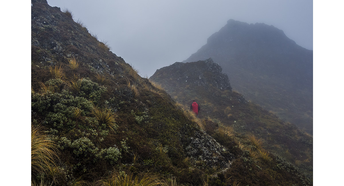
At about 1,450 metres en route to Junction Top

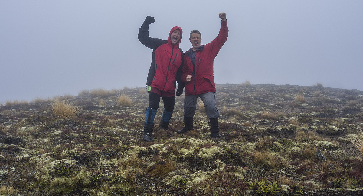
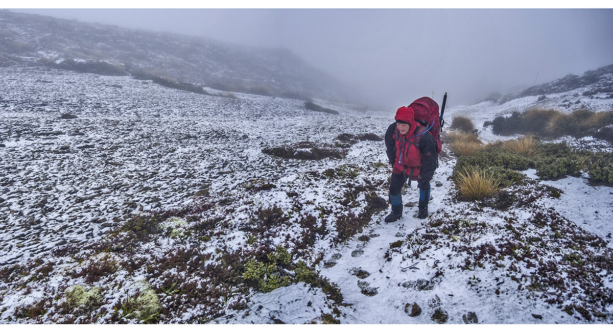
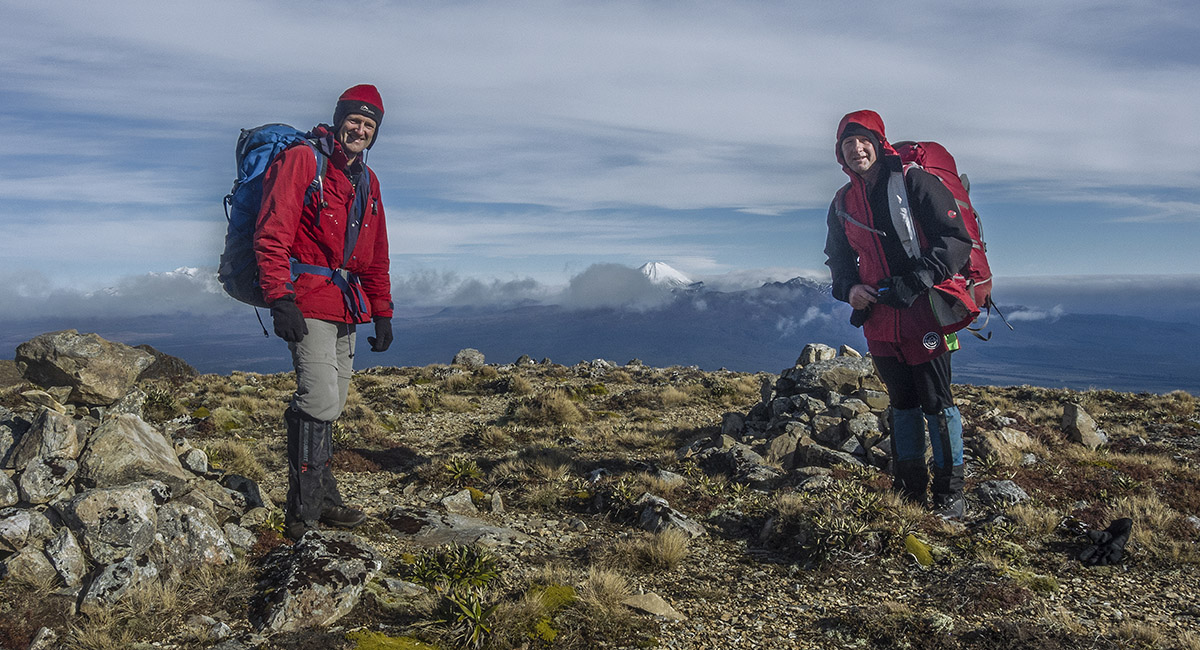
On Junction Top (1,605m). not the most memorable conditions for a high point


From 1,300 metres on Umukarikari Ridge, looking back to Waipakihi Hut and the Kaimanawa Middle Range. Junction Top is above the Hut on the skyline

First glimpse of Ngauruhoe on the return along Umukarikari Ridge

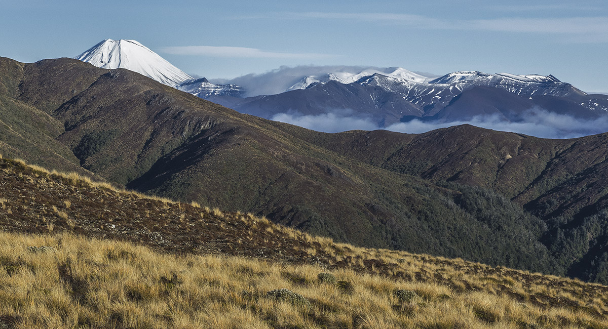
Ngauruhoe

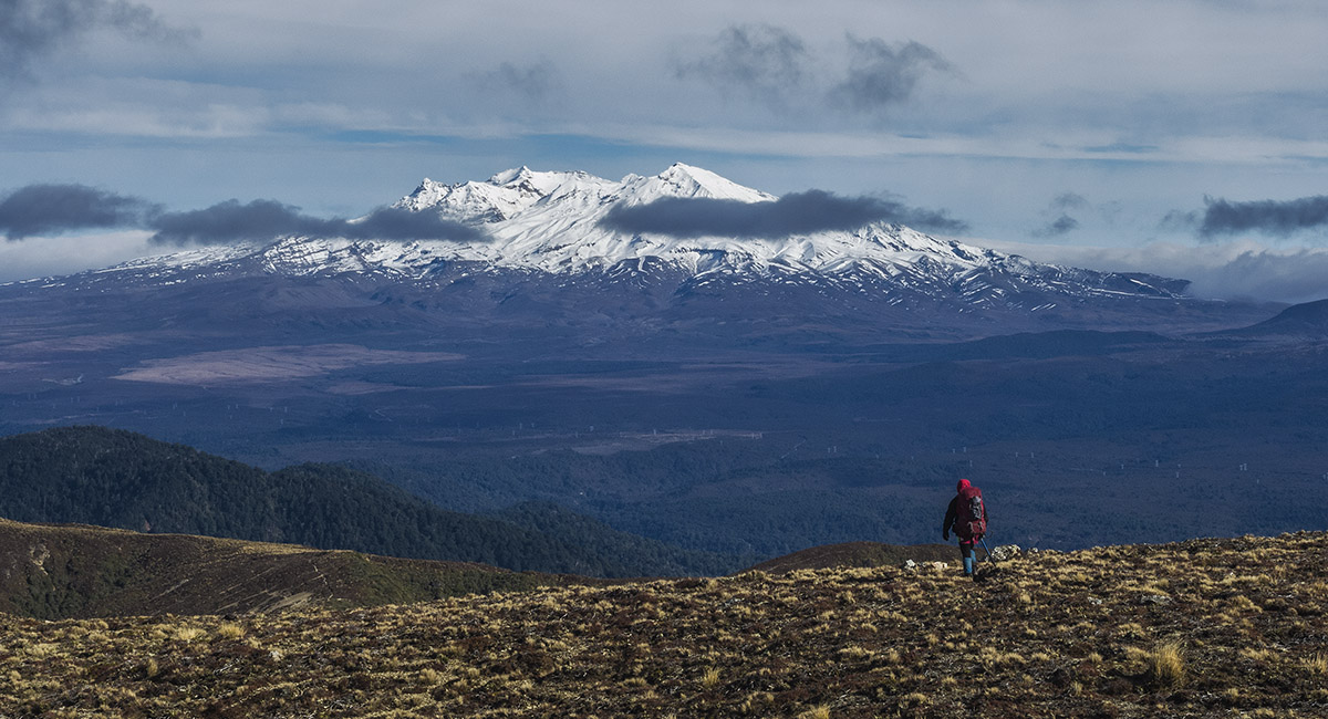
Ruapehu from Umukarikari Ridge, east of Umukarikari Peak

View from Umukarikari Peak back to Makorako Peak (1,726m - highest point in the Kaimanawas)

Looking west from Umukarikari Peak


Departing Umukarikari Peak with Ruapehu and Ngauruhoe ahead

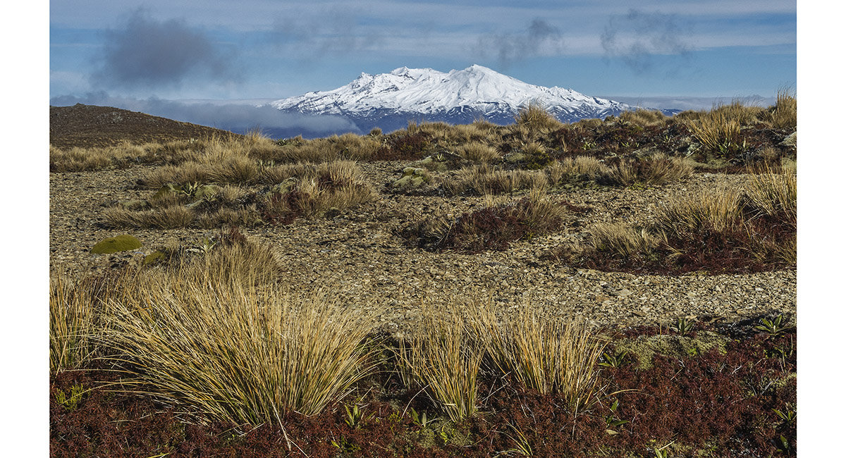
Ruapehu

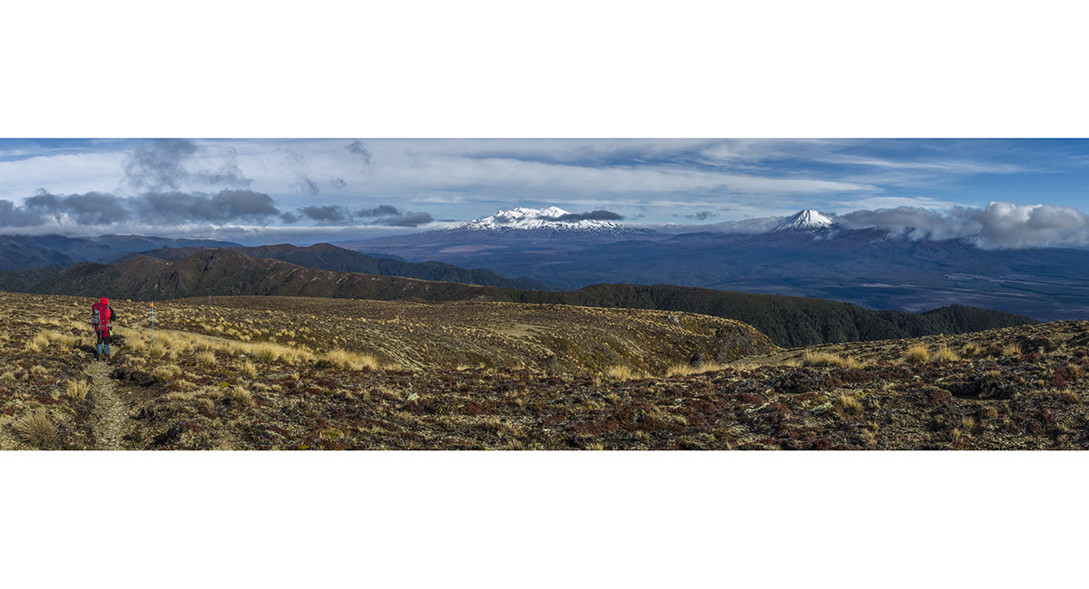
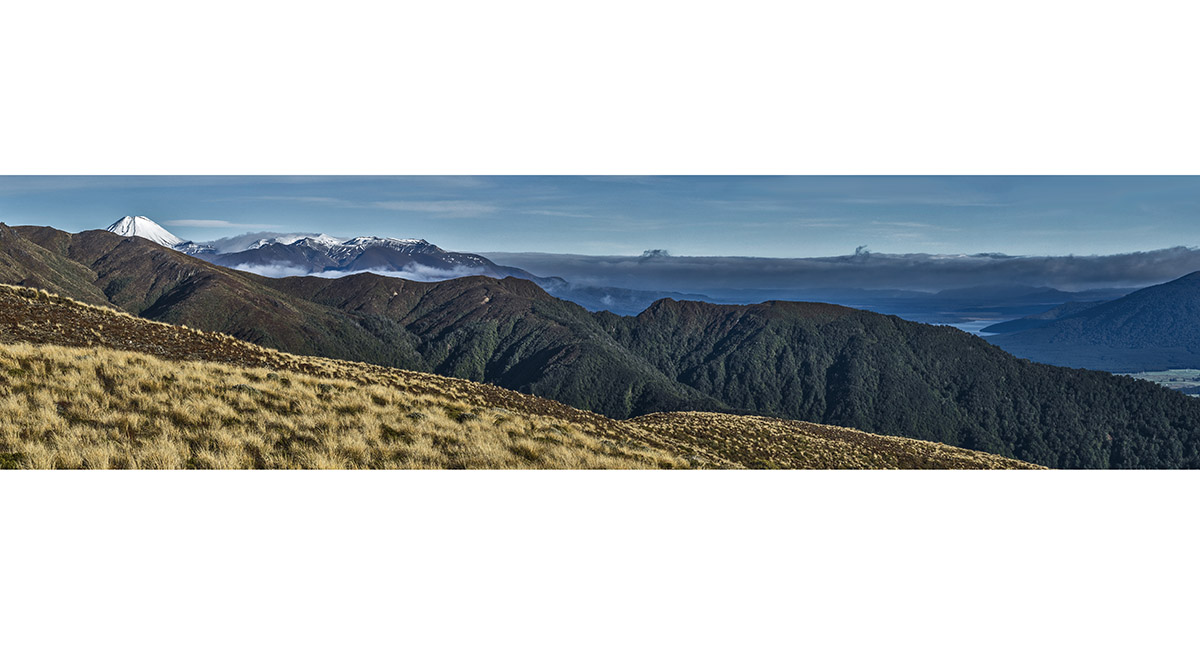
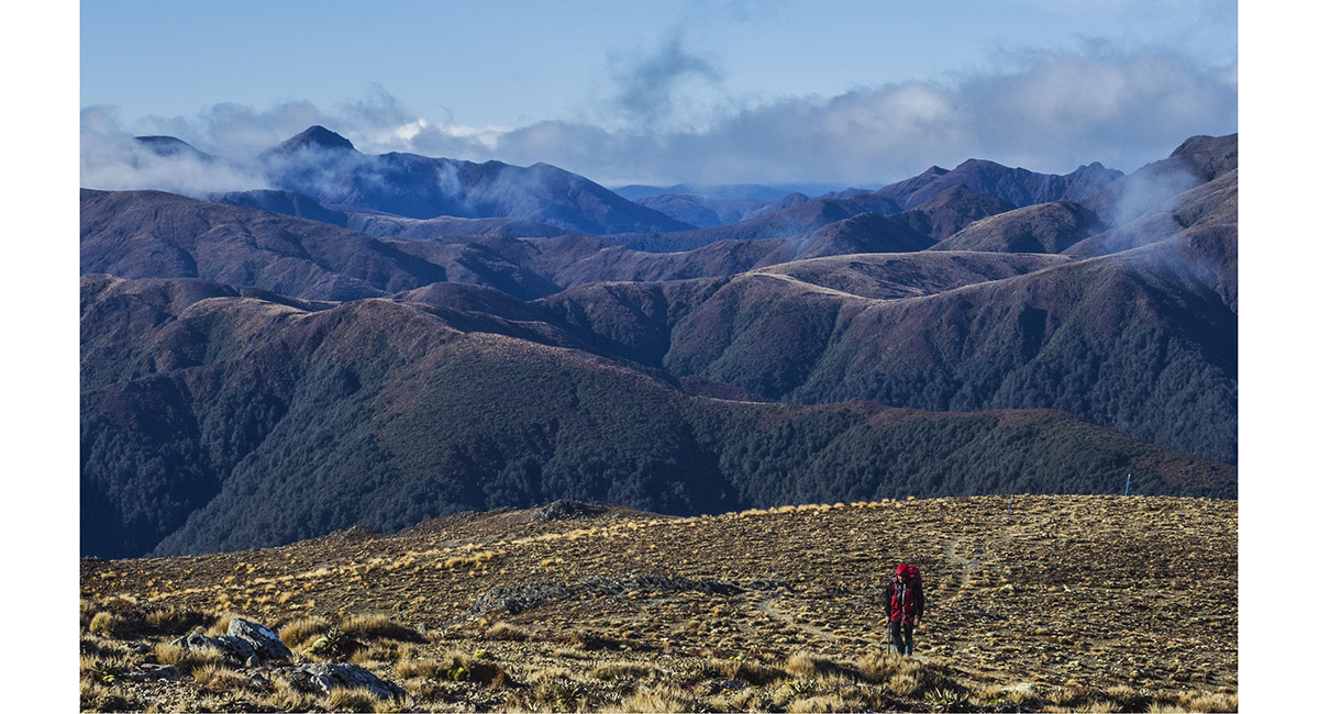
Tongariro National Park vista from about 1,400 metres on Umukarikari Ridge


Tongariro National Park vista from about 1,300 metres on Umukarikari Ridge

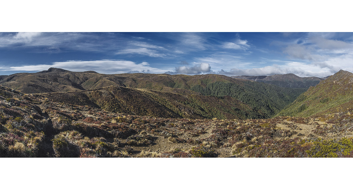
Looking east to the Kaimanawas. Umukarikari peak is the hump second from left on the skyline

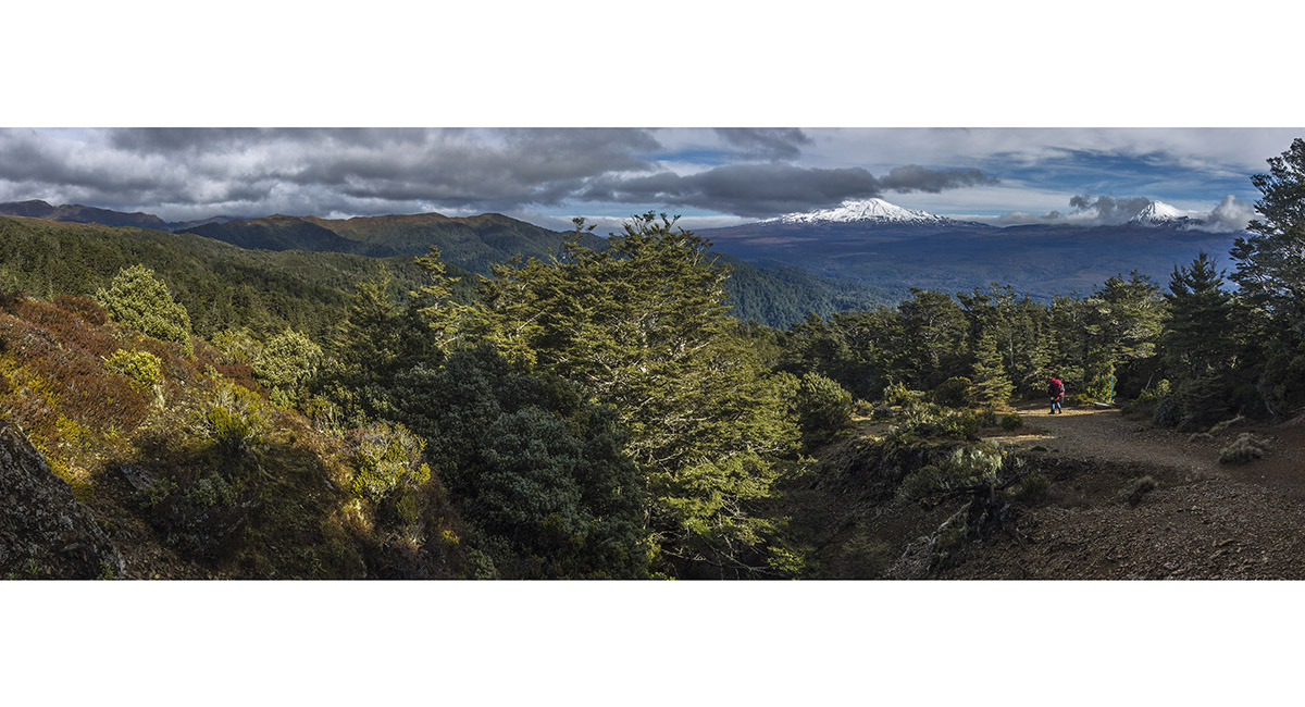
At the bush line (1,250m)

To order a print or web resolution file of any image you see in this slide show, just right click the image, click “Copy Image URL” and paste in to the “Your message” box of our Contact Us form. Please also note, for each image, if you want a print or web resolution file. We will get back to you as soon as possible to confirm price and payment details.
Open Contact Us in a new window to paste Image URL(s) easily