Mt Hikurangi, April 2014
Farmland on the Pakihiroa block, on the approach to Hikurangi

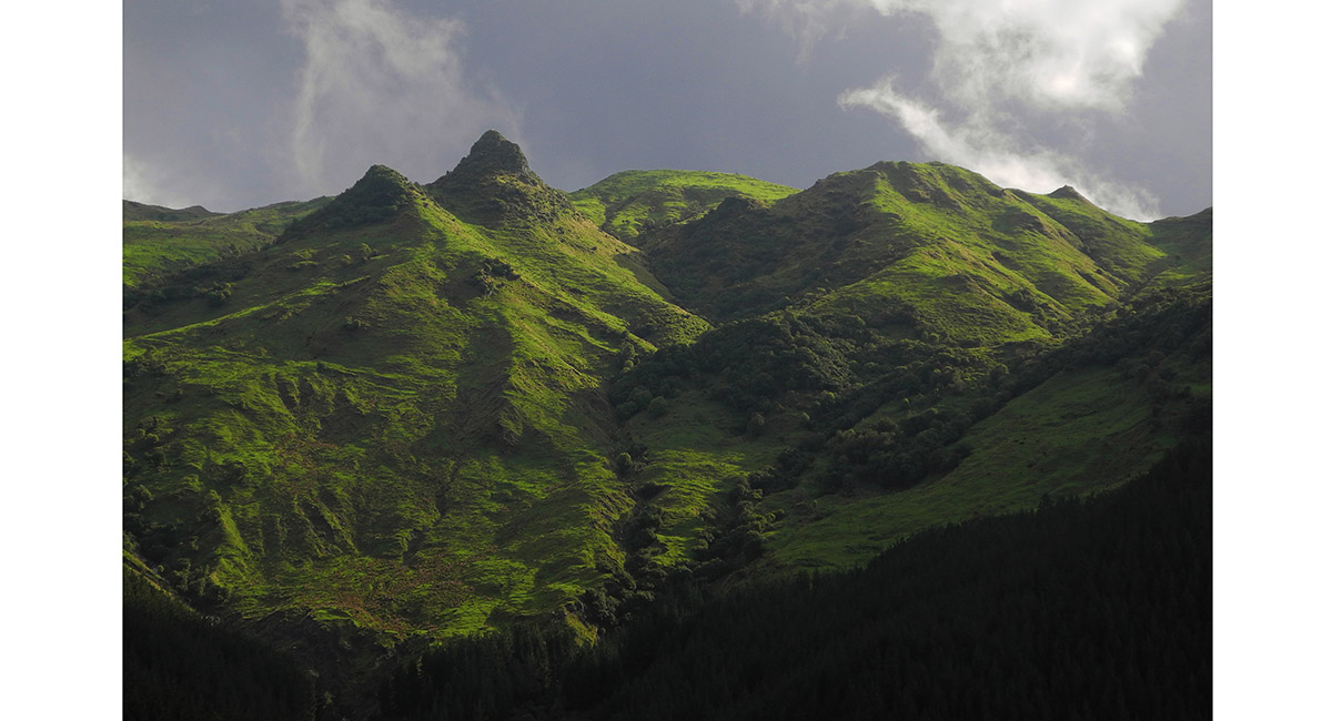
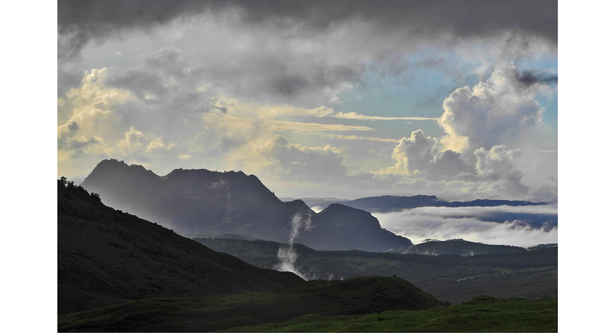
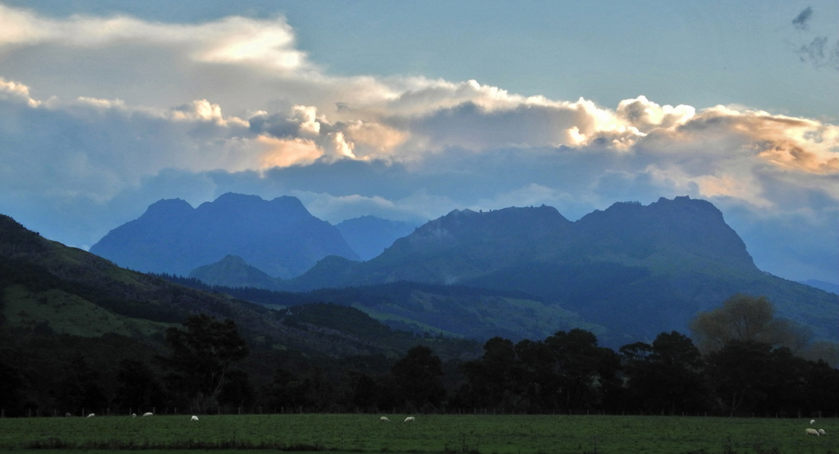
The rugged landscape of the Ruakumara Range

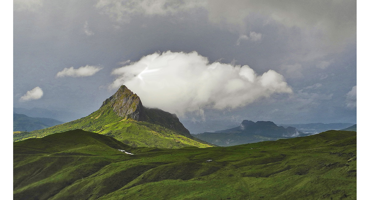
Wharekia (1,106m), north east of Hikurangi

Wharekia (1,106m) and Taitai (700m)

Taitai (700m), north east of Hikurangi

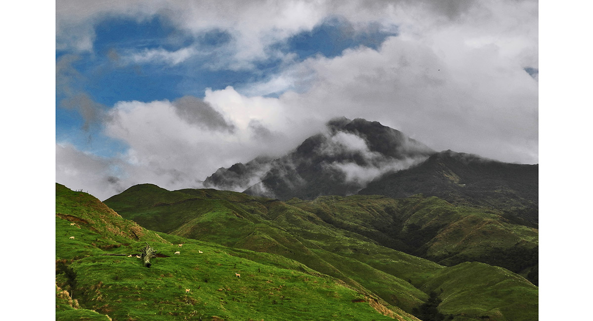
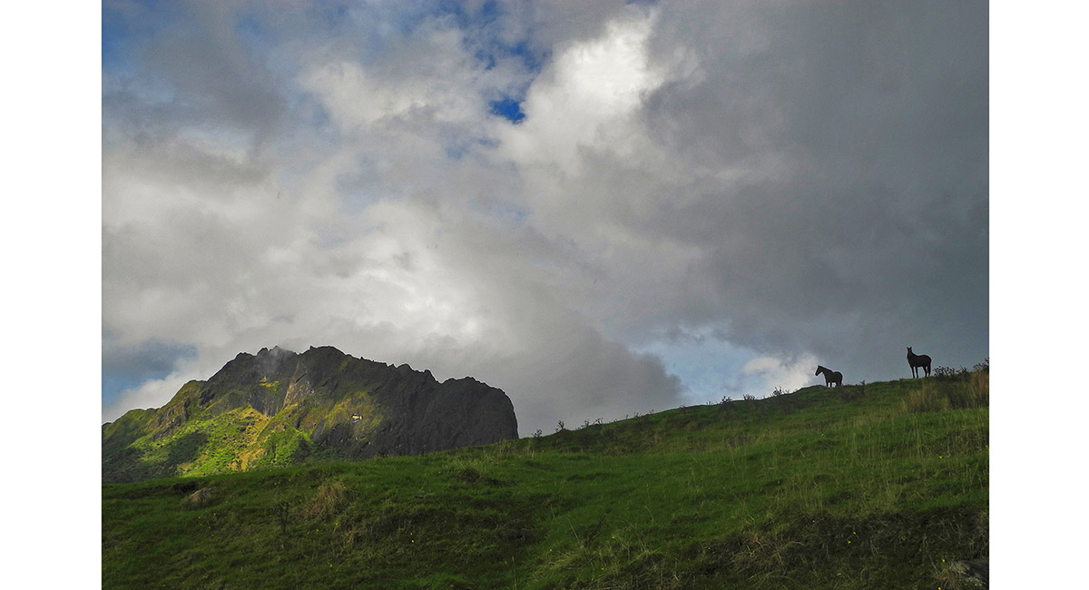
Mount Hikurangi, shrouded in cloud, viewed from about 800m to the north of the mountain

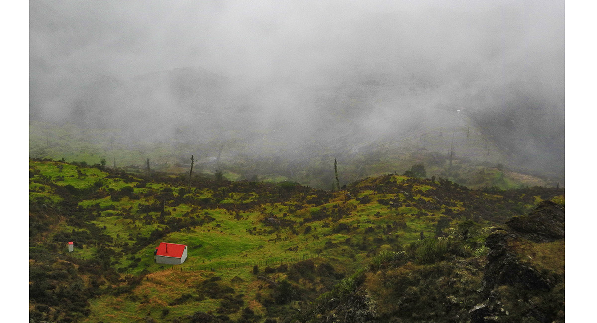
View from above Hikurangi Hut (1,180m), looking north

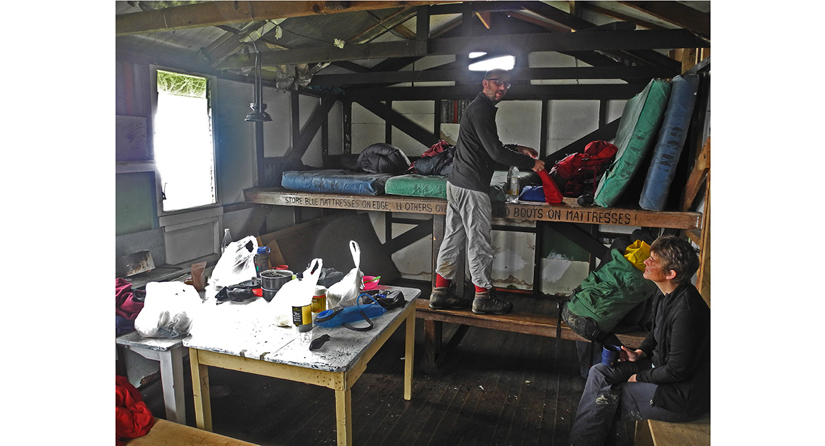
Inside Hikurangi Hut

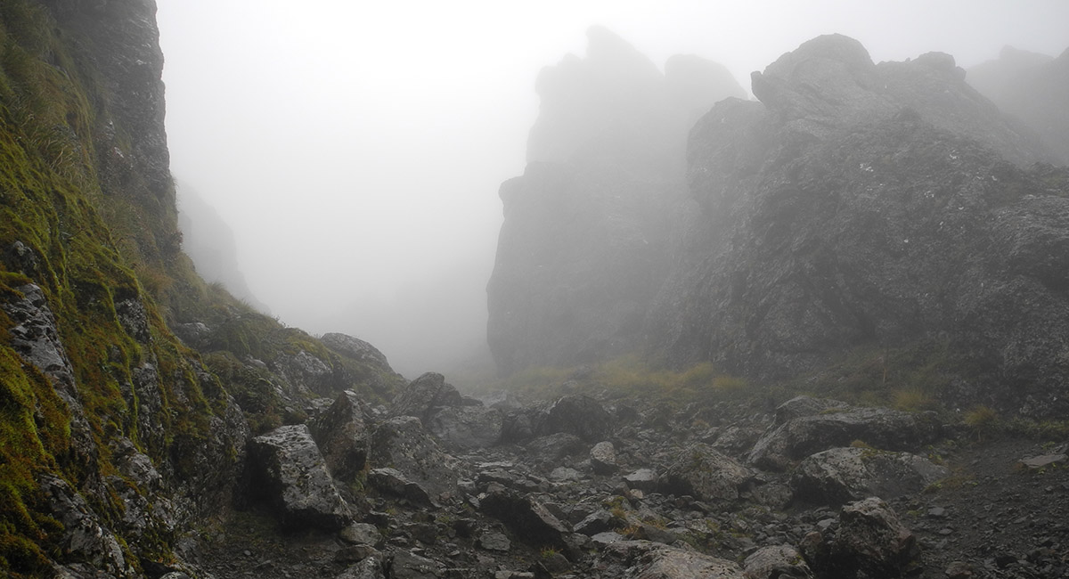
At about 1,600m, looking down the gully that gives access to Hikurangi's summit

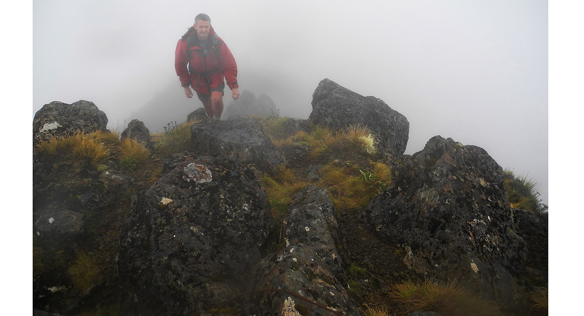
Stepping on to the summit of Hikurangi (1,752m), engulfed in cloud

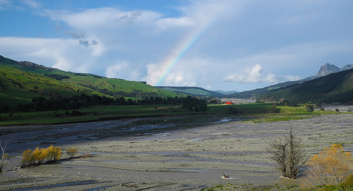
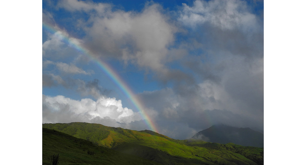
View east, down the Tapuaeroa River, from Pakihiroa

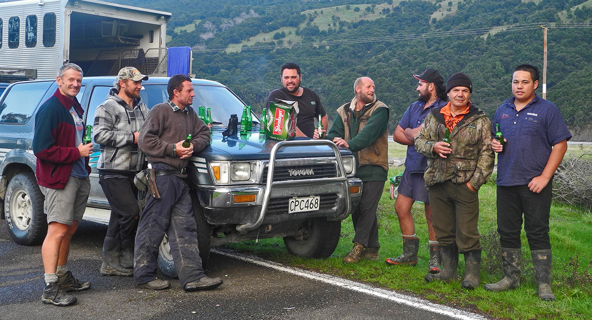
Enjoying the roadside hospitality of local hunters

View west from Ruatoria, to Taitai, Wharekia and Aorangi

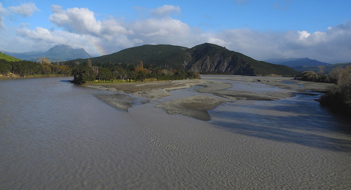
View west from near Ruatoria, up the Tapuaeroa River

To order a print or web resolution file of any image you see in this slide show, just right click the image, click “Copy Image URL” and paste in to the “Your message” box of our Contact Us form. Please also note, for each image, if you want a print or web resolution file. We will get back to you as soon as possible to confirm price and payment details.
Open Contact Us in a new window to paste Image URL(s) easily