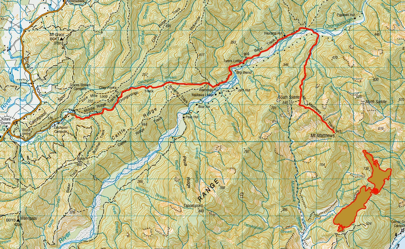
The Orongorongos and Mt Matthews, August 2006
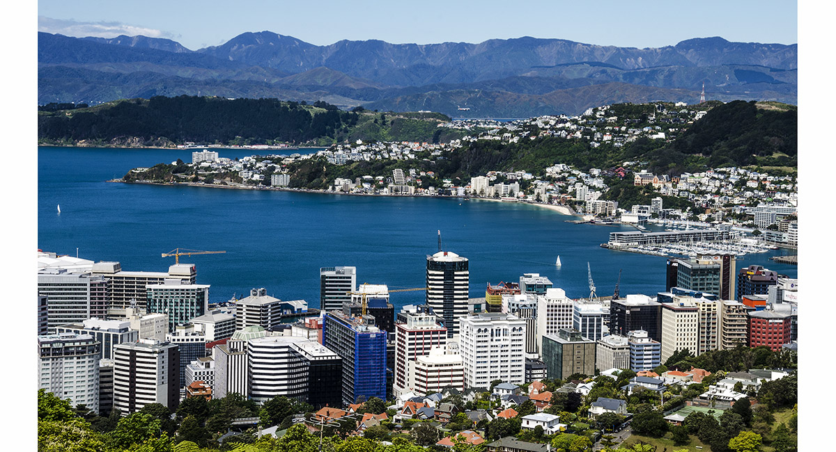
Mount Matthews is the highest point on the left hand skyline - just a hop, skip and jump from downtown Wellington

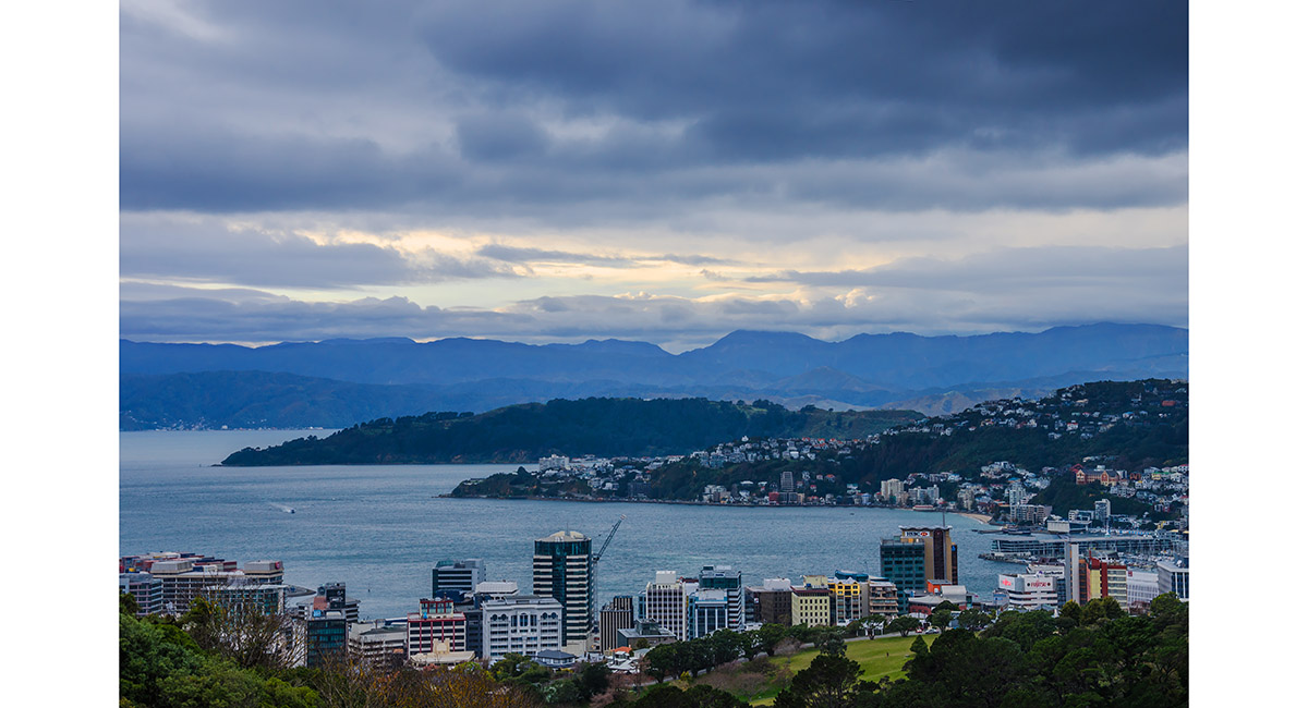
Mount Matthews is the highest point, in cloud

Heading up the Orongorongo River, with Papatahi (902m) ahead

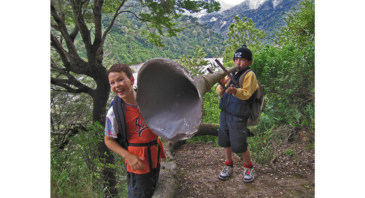
Hill country public address system

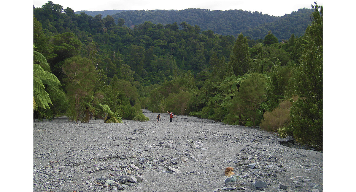
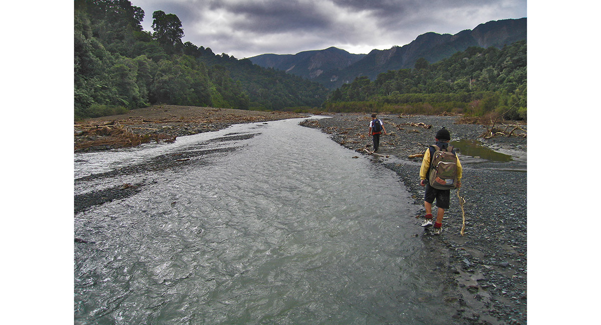
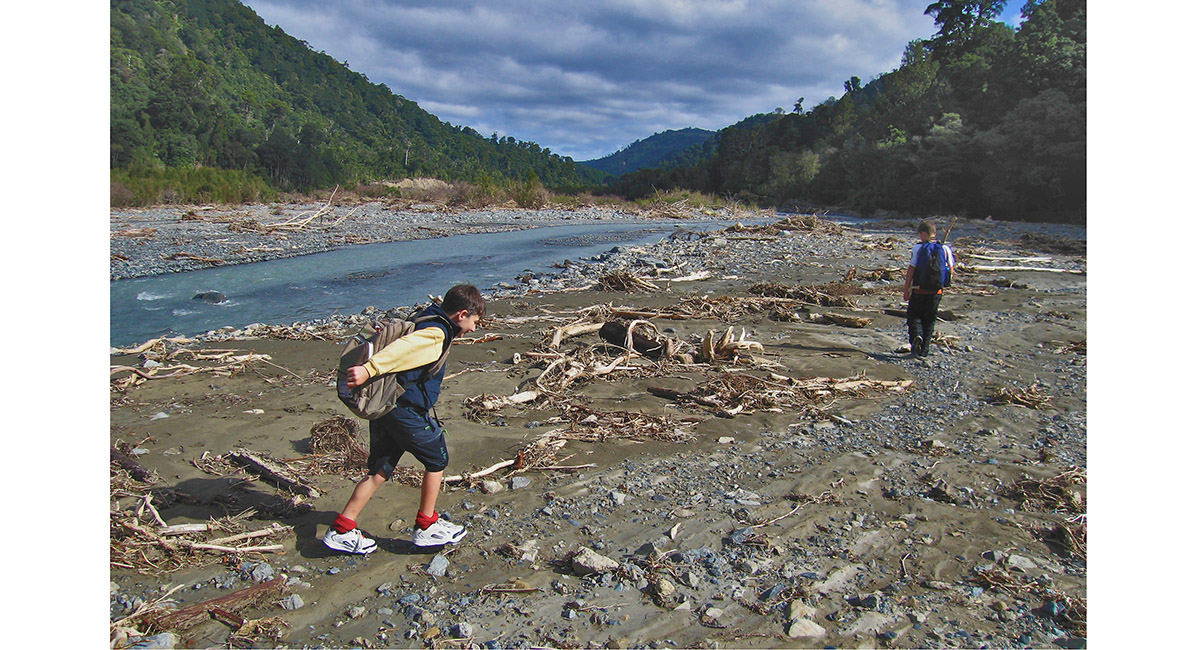
At the lower end of Matthews Stream

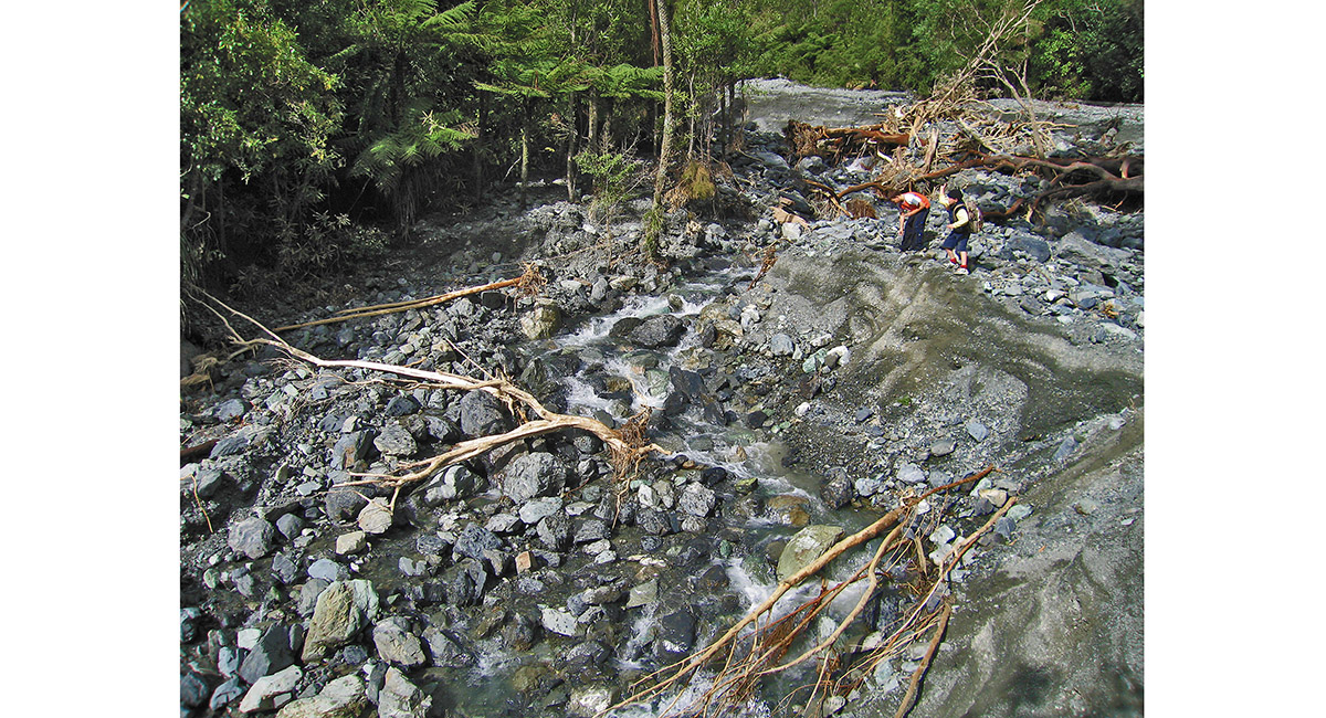
Matthews Stream

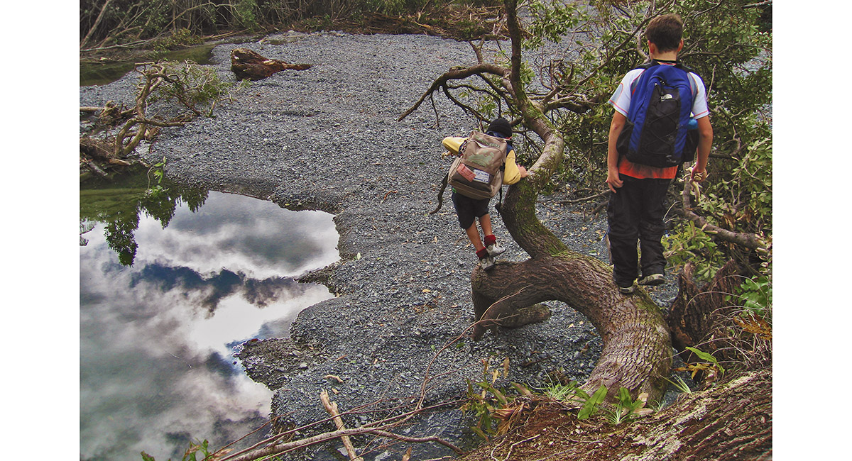
Matthews Stream

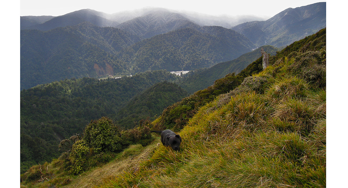
View north, near the South Saddle (545m), below Mount Matthews (941m)


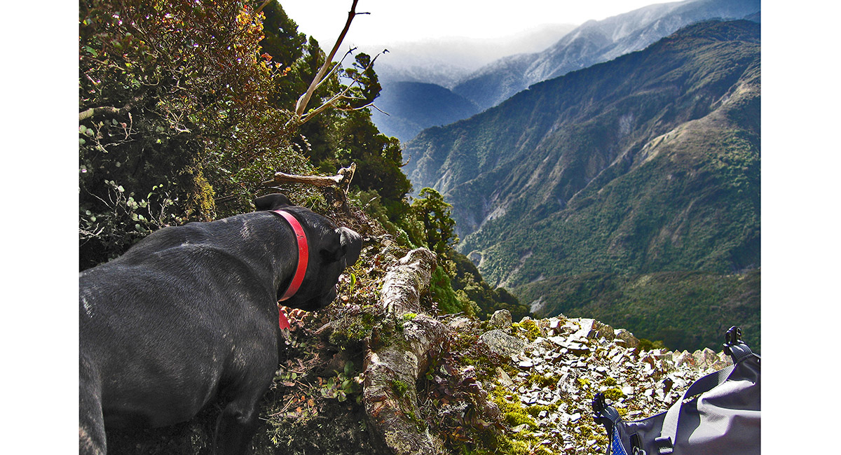
Getting licked in to shape at the South Saddle

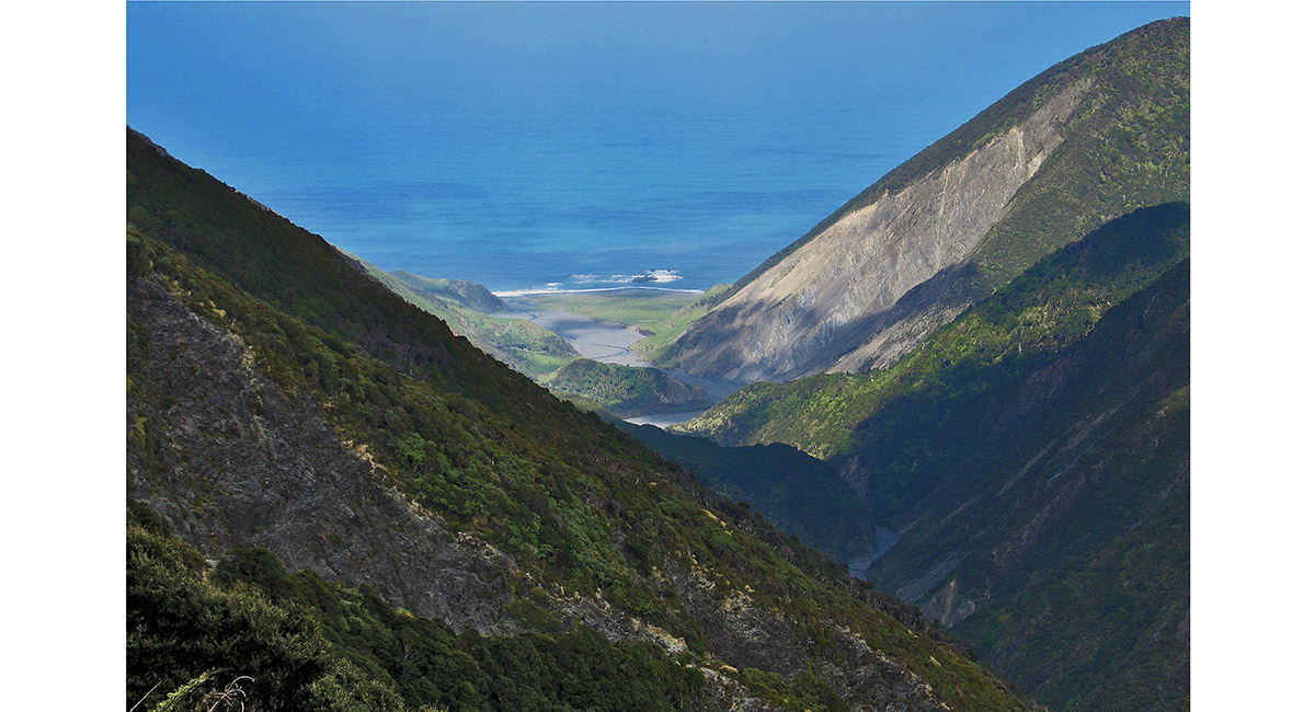
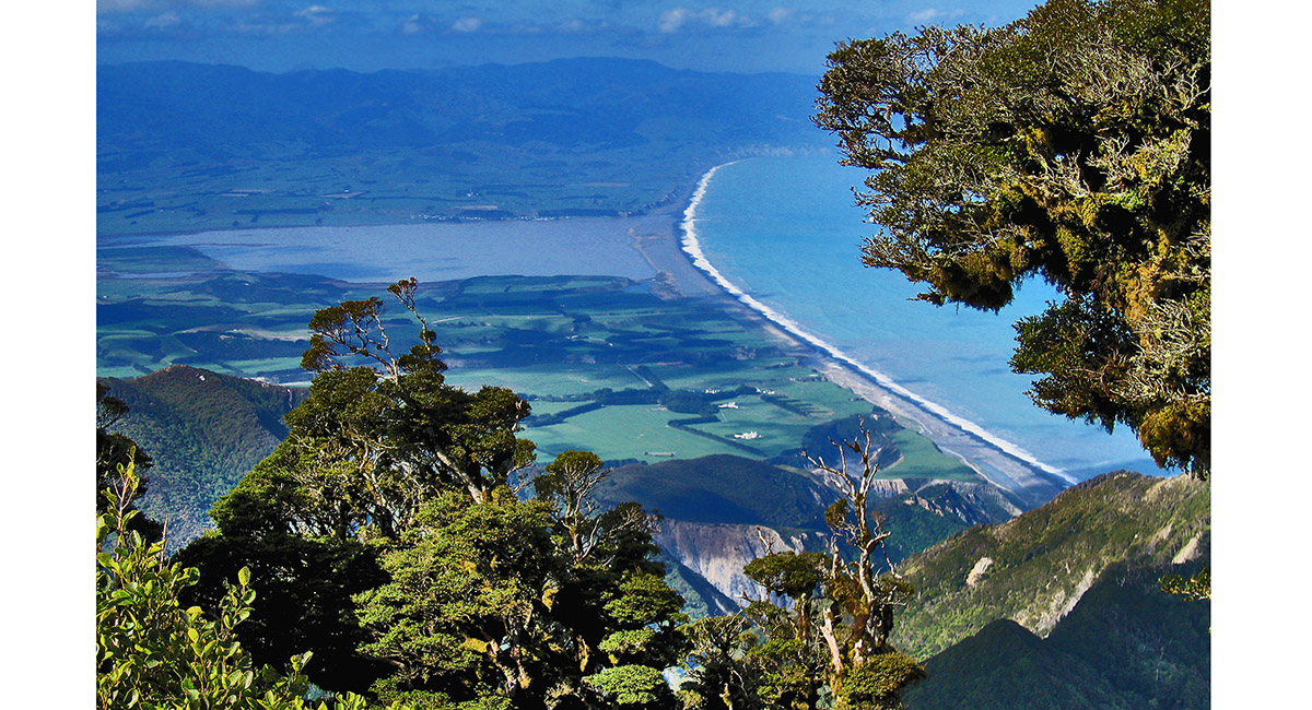
View south to Palliser Bay, from the South Saddle

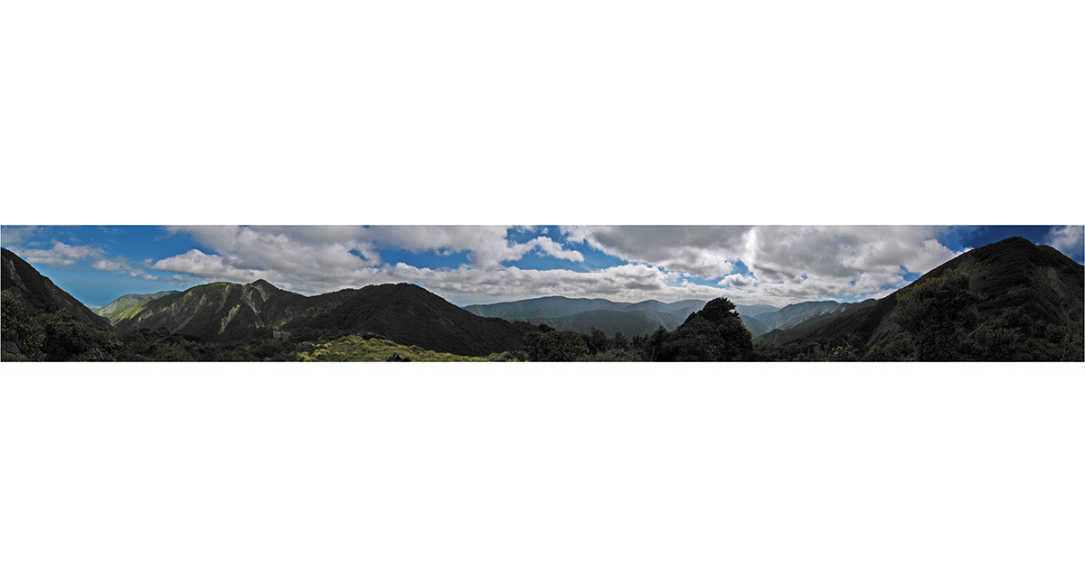
Near 360 panorama from the South Saddle

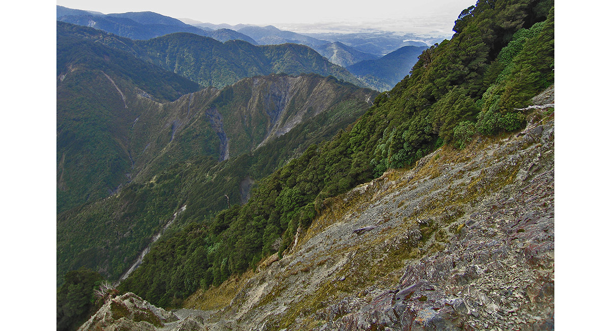
Near the summit of Mount Matthews, looking north

Polly fuelling up, below the summit

Summit view (941m), across Lake Onoke and Palliser Bay, to the Aorangi Range and the Wairarapa

Heading south, back down the Orongorongo River

Read about it
Queen of the south coast Wilderness Magazine Apr 16
![]()
To order a print or web resolution file of any image you see in this slide show, just right click the image, click “Copy Image URL” and paste in to the “Your message” box of our Contact Us form. Please also note, for each image, if you want a print or web resolution file. We will get back to you as soon as possible to confirm price and payment details.
Open Contact Us in a new window to paste Image URL(s) easily